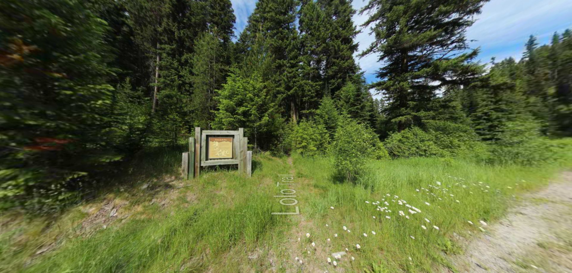
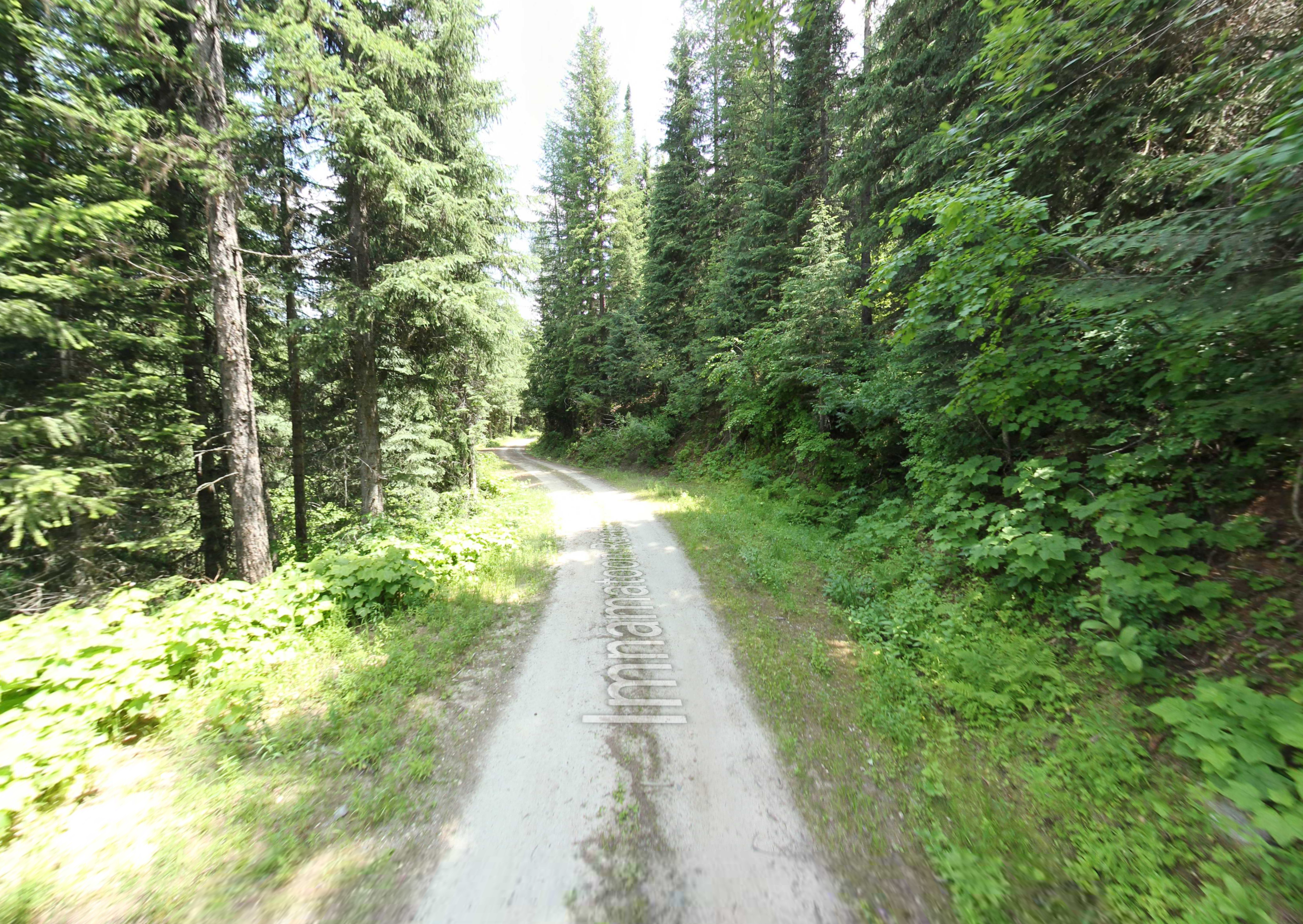
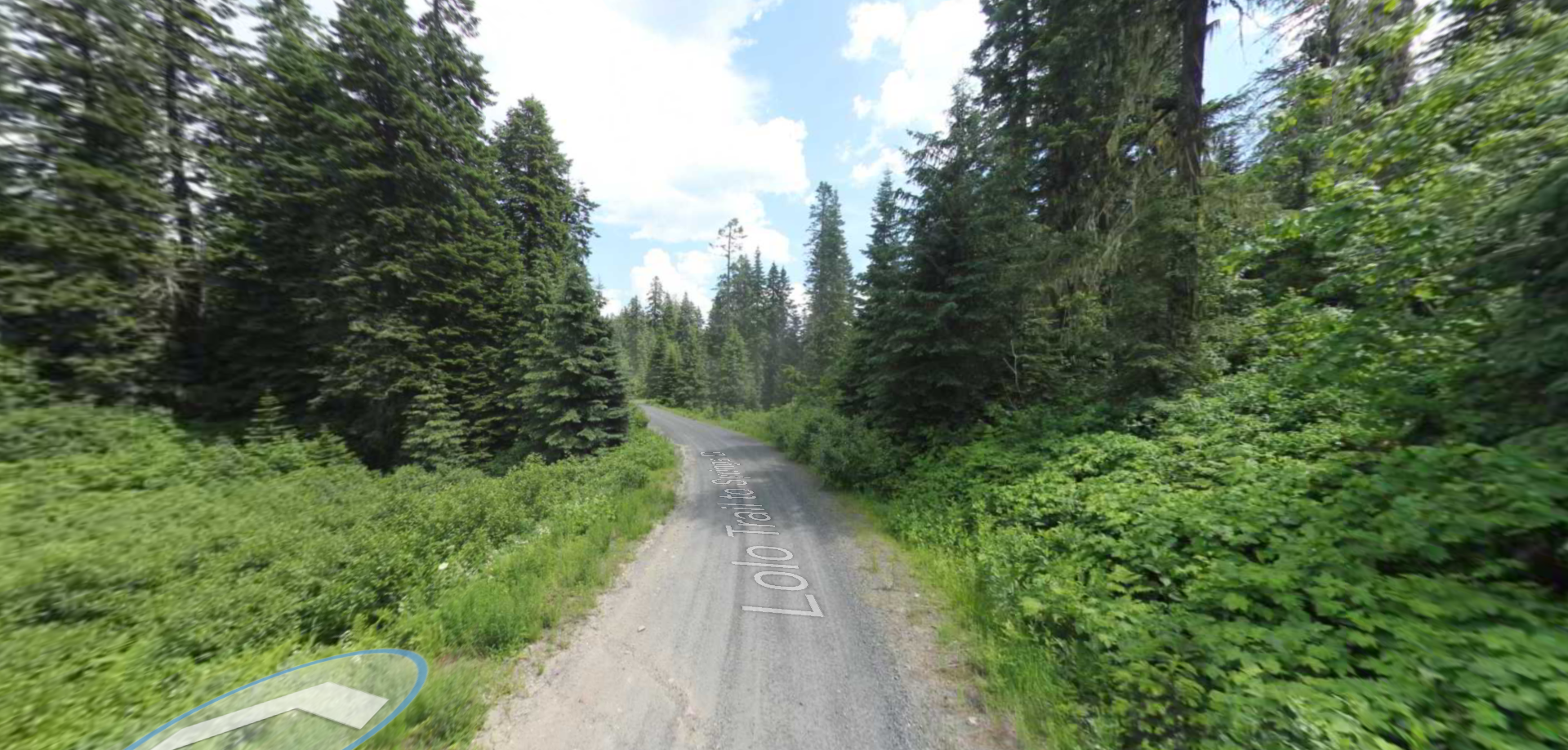
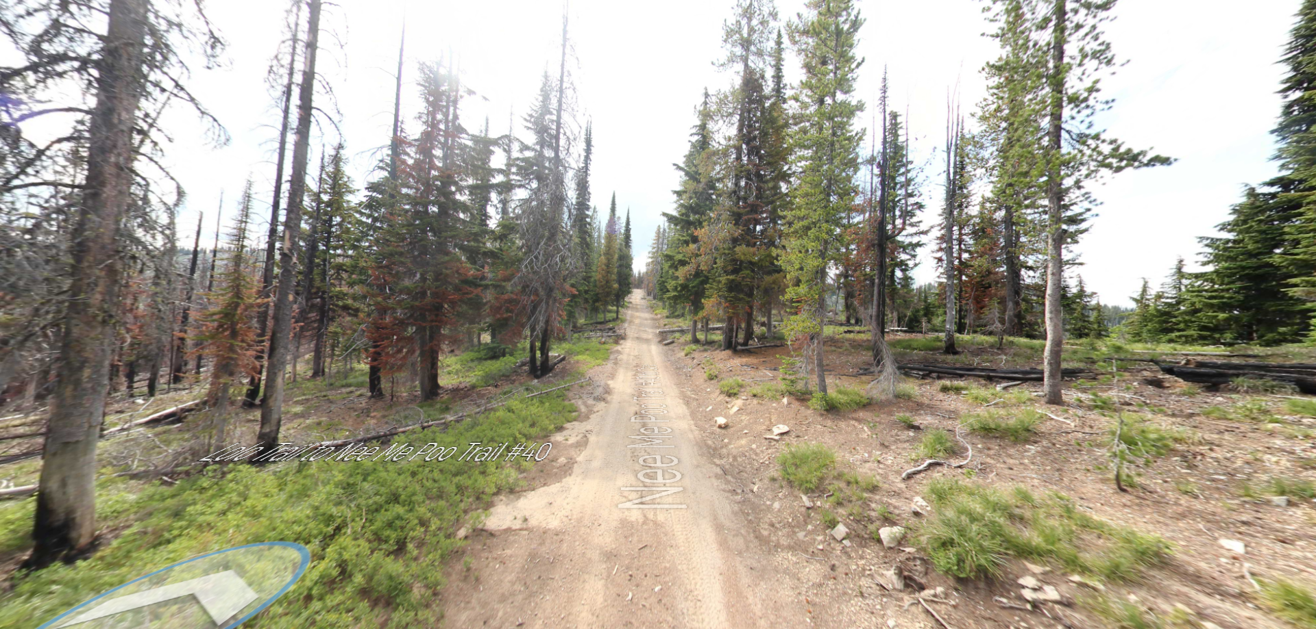
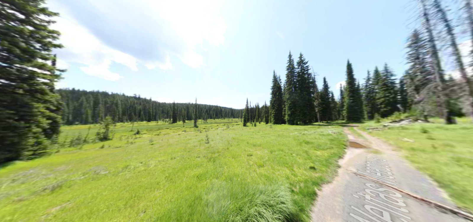
Colt Killed Creek Campsite
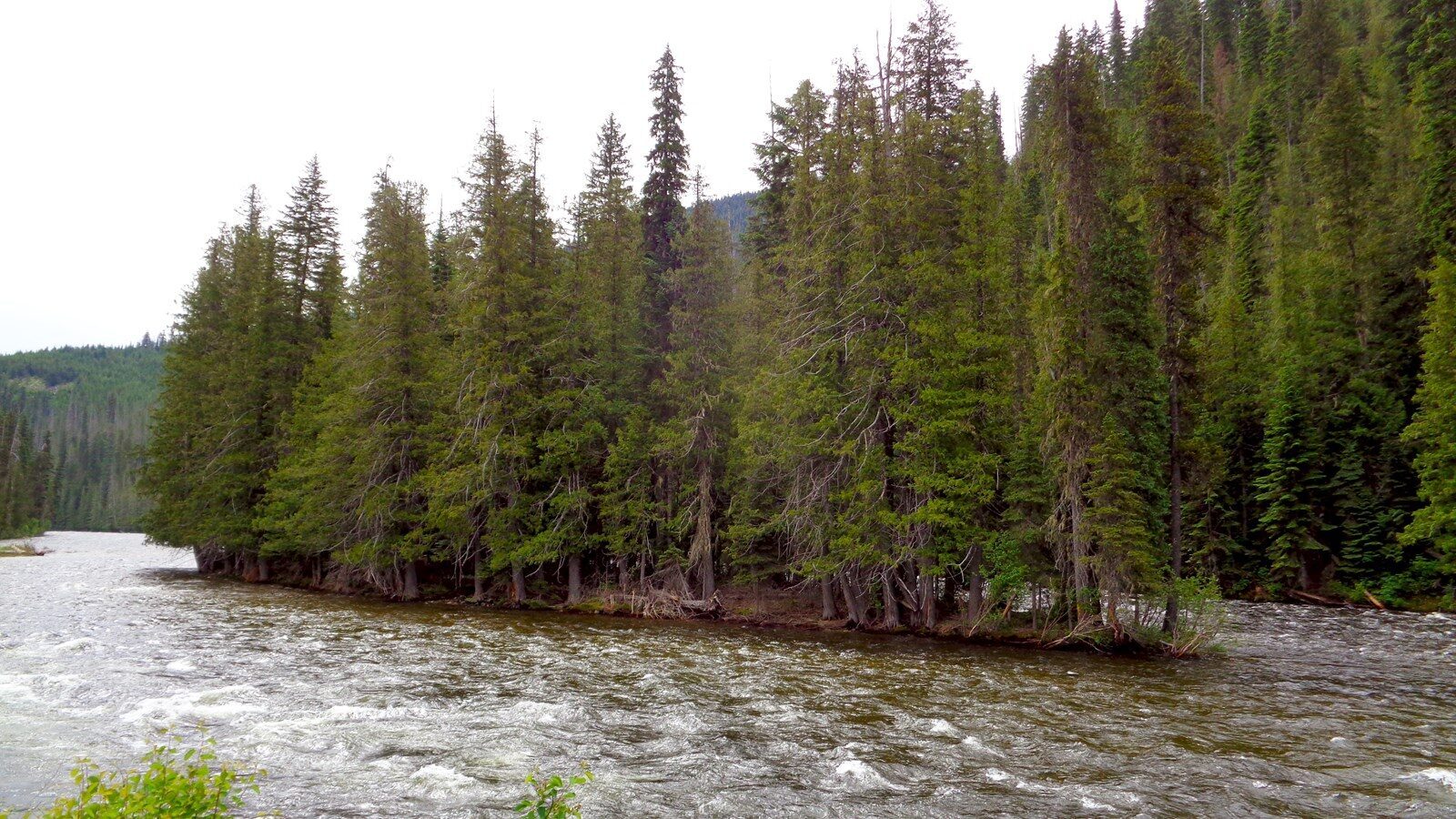
The Colt Killed Creek Campsite is located on the grounds of the Powell Ranger Station, within the Clearwater National Forest. The creek branch described by Clark was filled in by the USFS sometime after the 1950s, but the “Small Island” in the Lochsa River remains intact. There is no interpretive signage on-site. The site is a component of the Lolo Trail National Historic Landmark.
By Clark’s account, September 14, 1805, was a miserable slog. Persevering through rain, hail, and snow, the fatigued expedition struggled over steep mountainsides made nearly impassable by a plethora of fallen timber. They ended the day “Encamped opposit a Small Island at the mouth of a branch on the right side of the river which is at this place 80 yads wide, Swift and Stoney, here we wer compelled to kill a Colt for our men & Selves to eat for the want of meat & we named the South fork Colt killed Creek, and this river we Call Flathead River.” The horsemeat was a welcome addition to the paltry food rations. Gass wrote, “none of the hunters killed any thing except 2 or 3 pheasants; on which, without a miracle it was impossible to feed 30 hungry men and upwards, besides some Indians. So Capt. Lewis gave out some portable soup, which he had along, to be used in cases of necessity. Some of the men did not relish this soup, and agreed to kill a colt; which they immediately did, and set about roasting it; and which appeared to me to be good eating.”
Distance Unit:
Distance Unit:
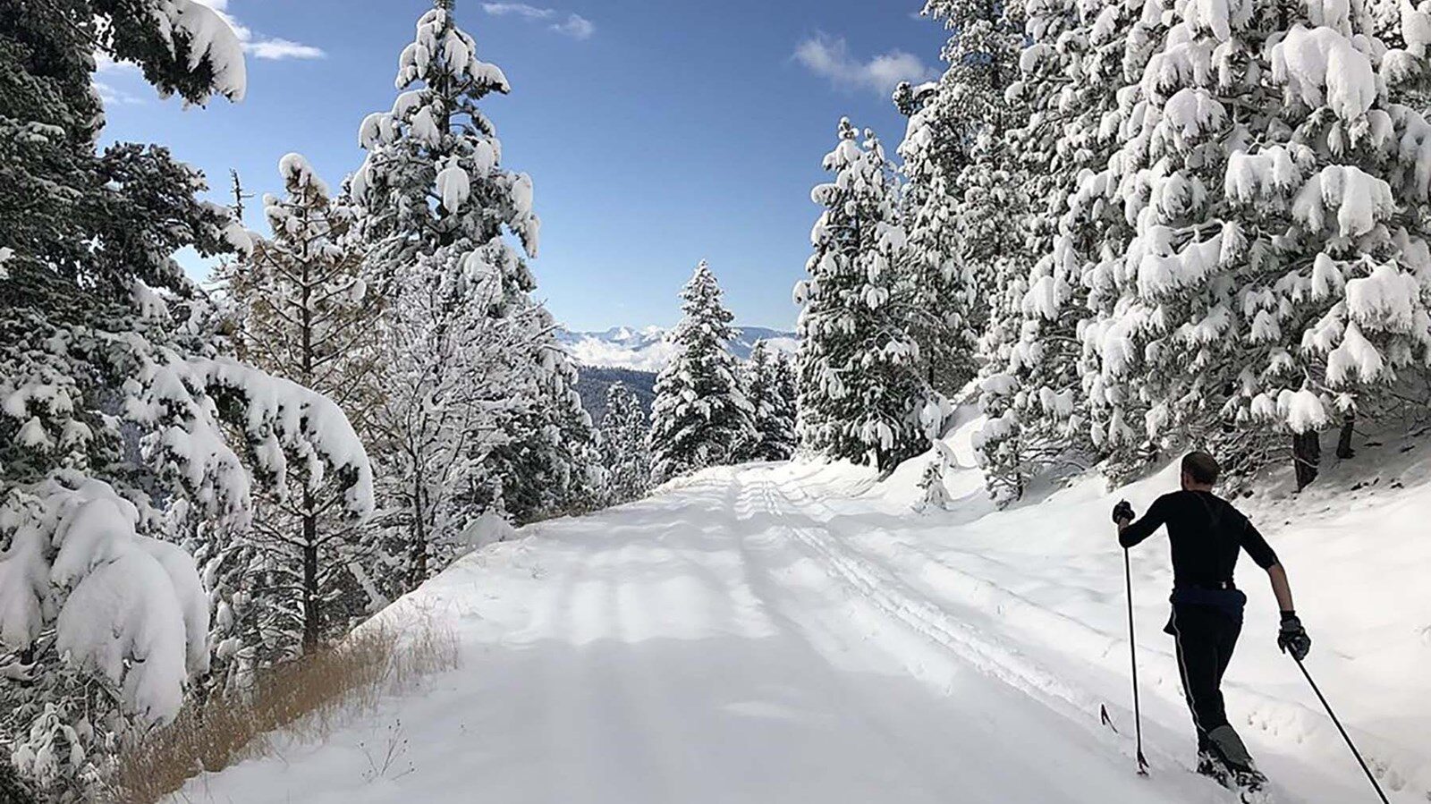
Embark on a historic trail dating back to August 9, 1805, when Lewis, accompanied by a scouting party, ventured away from the main group. Their mission: to discover a portage and establish contact with the…
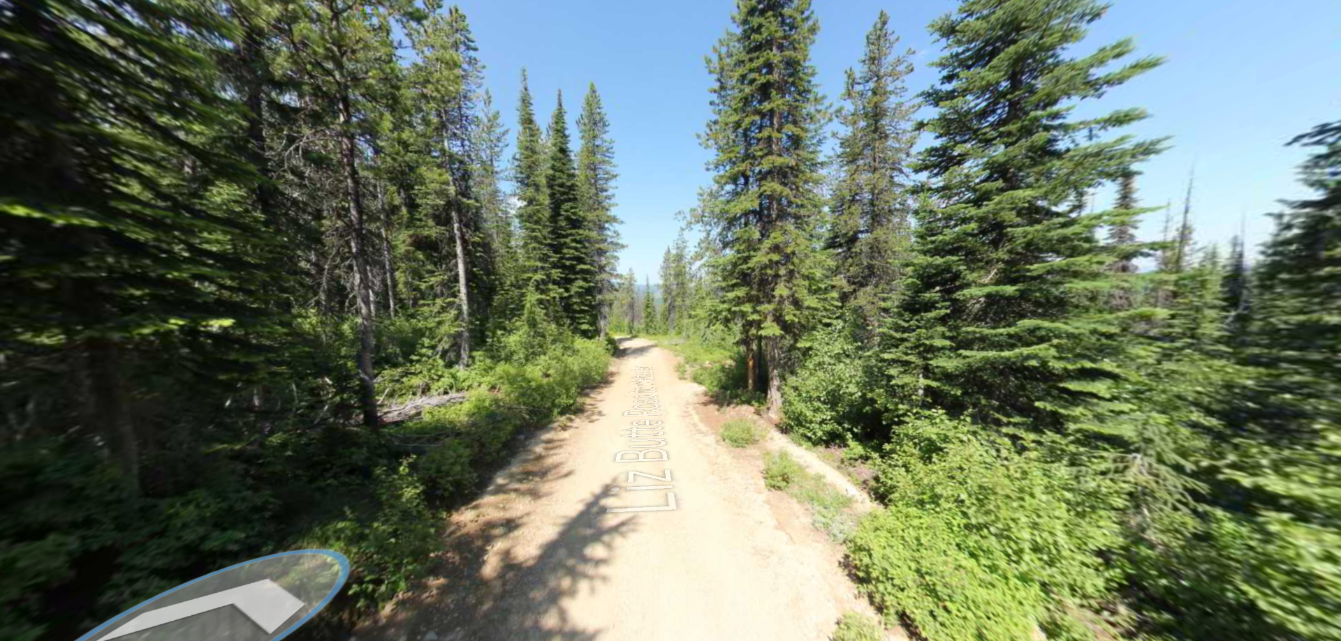
Tucked 35 miles northeast of Pierce, just off Forest Service Road 250, Weitas Campground offers a tranquil escape on the shaded banks of Weitas Creek near the North Fork of the Clearwater River. Accessible via…