Lewis And Clark
National Historic Trail Experience
Retrace the Expedition and Explore New People, Places, and Stories
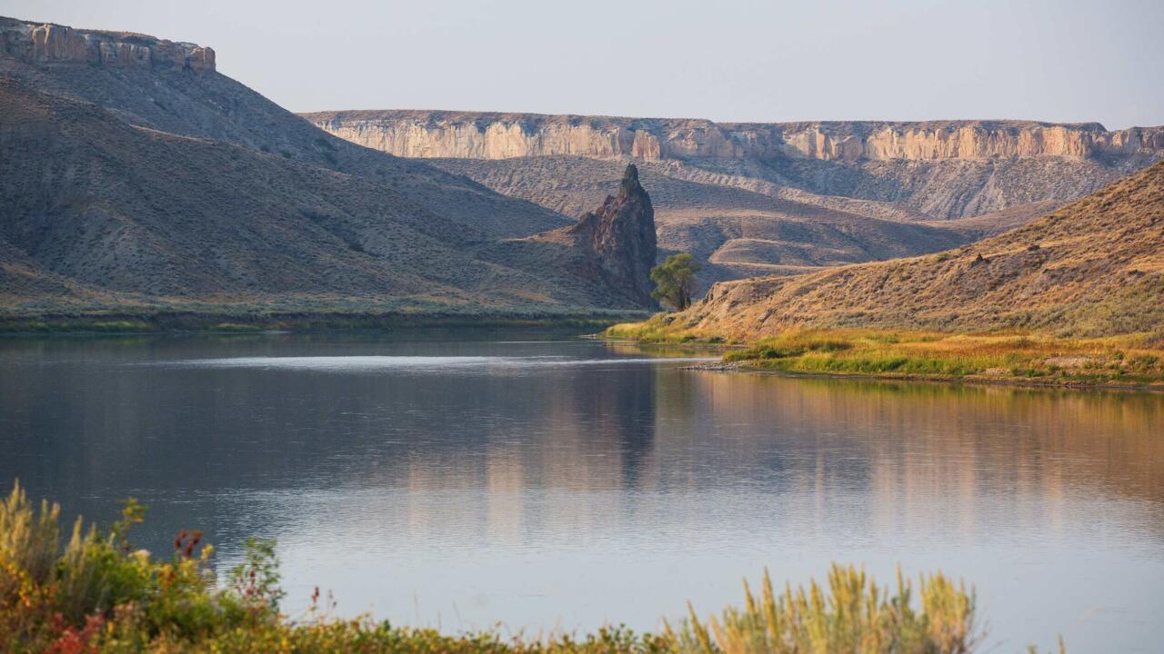
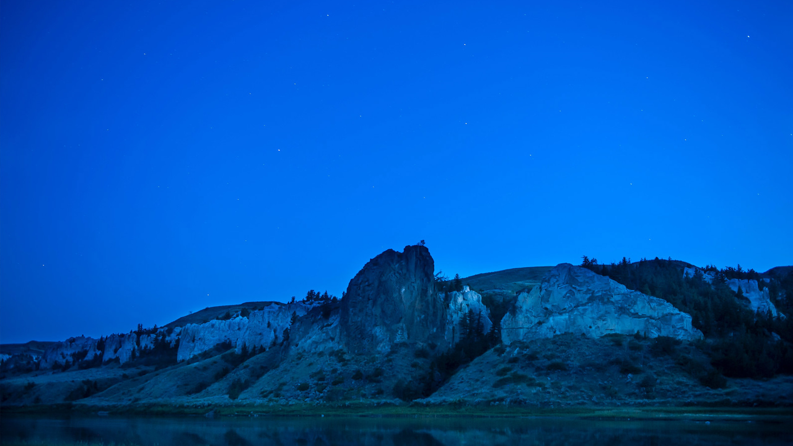
Missouri Breaks National Monument | BLM | Public Domain
Lewis And Clark
National Historic Trail Experience
Retrace the Expedition and Explore New People, Places, and Stories
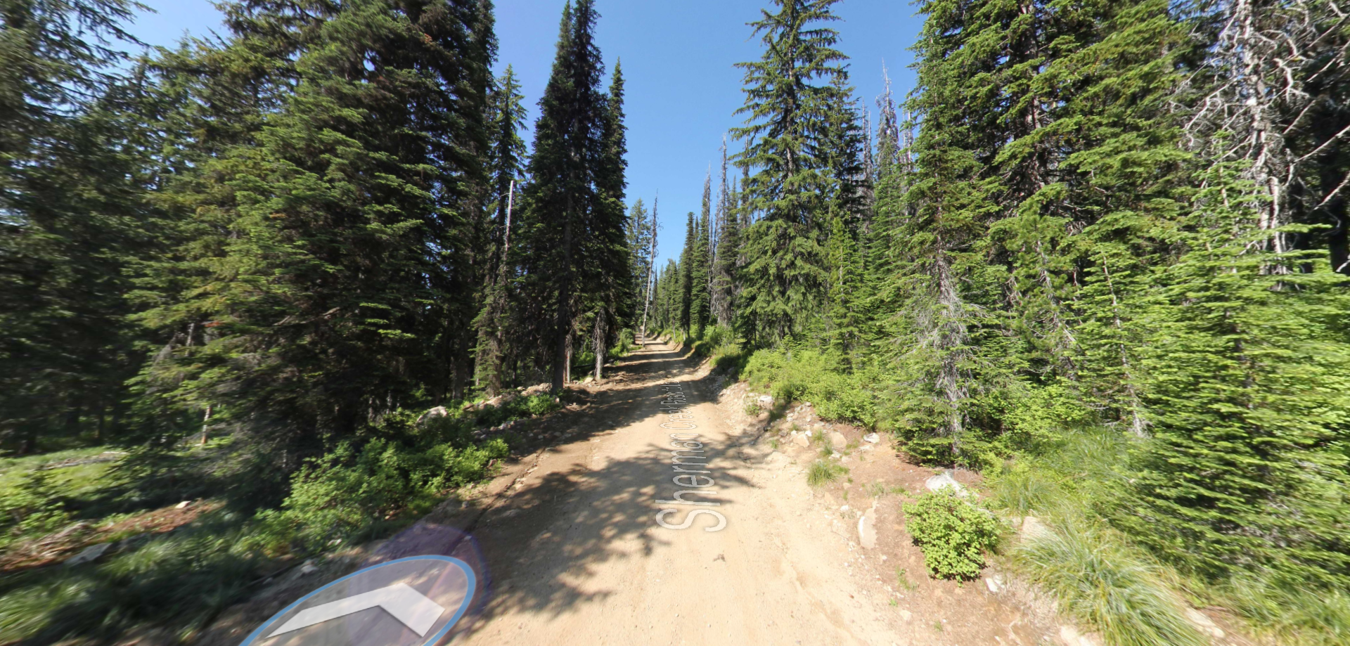
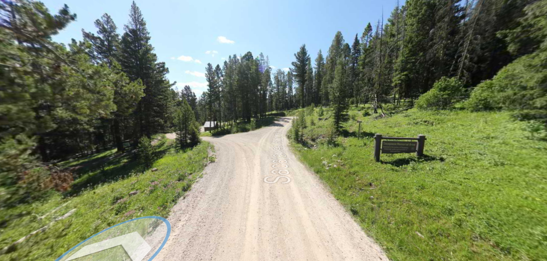
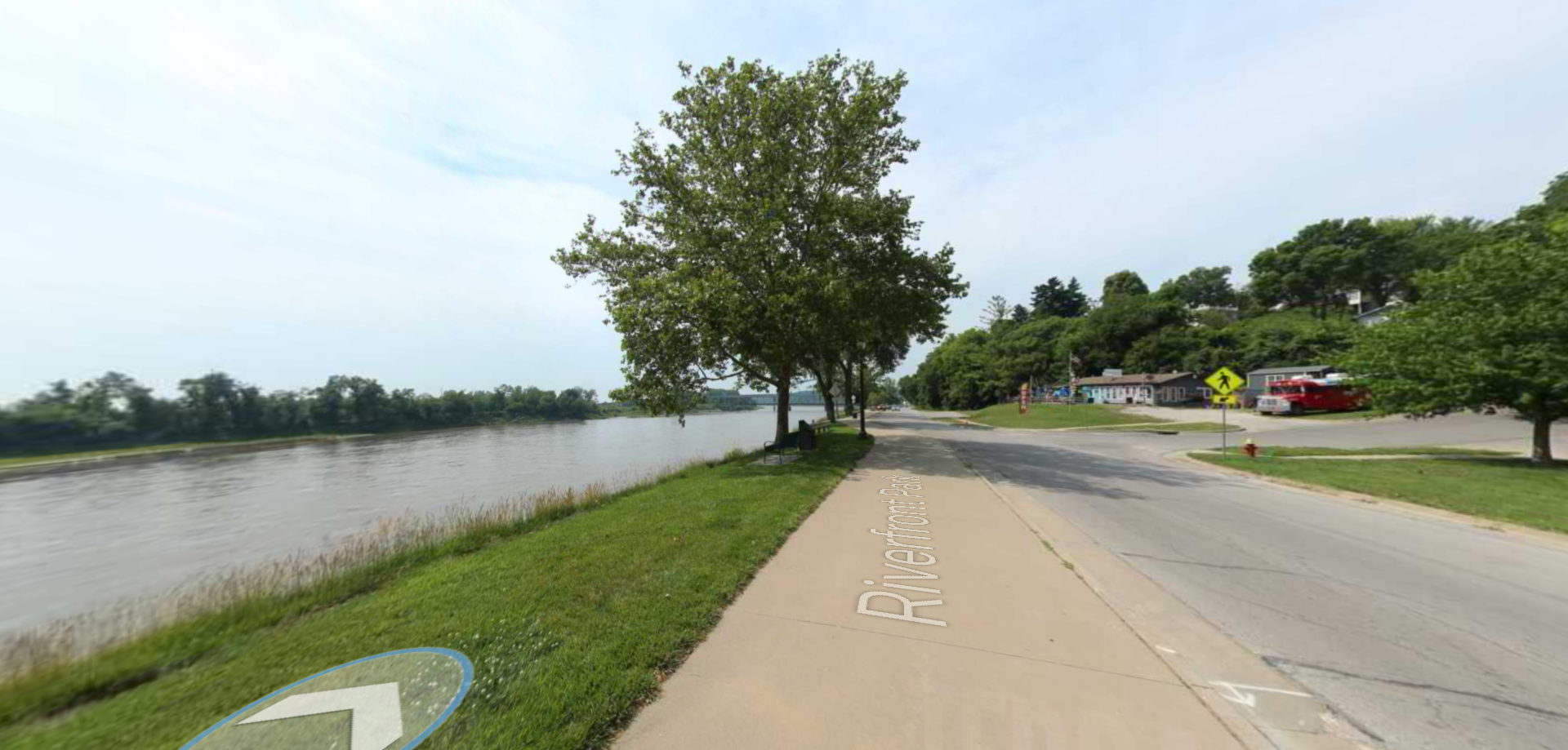
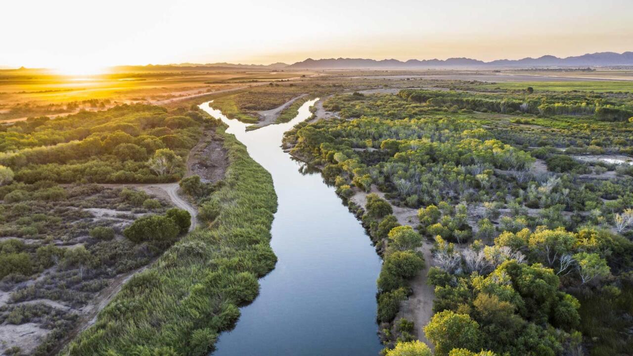
Sacajawea Park
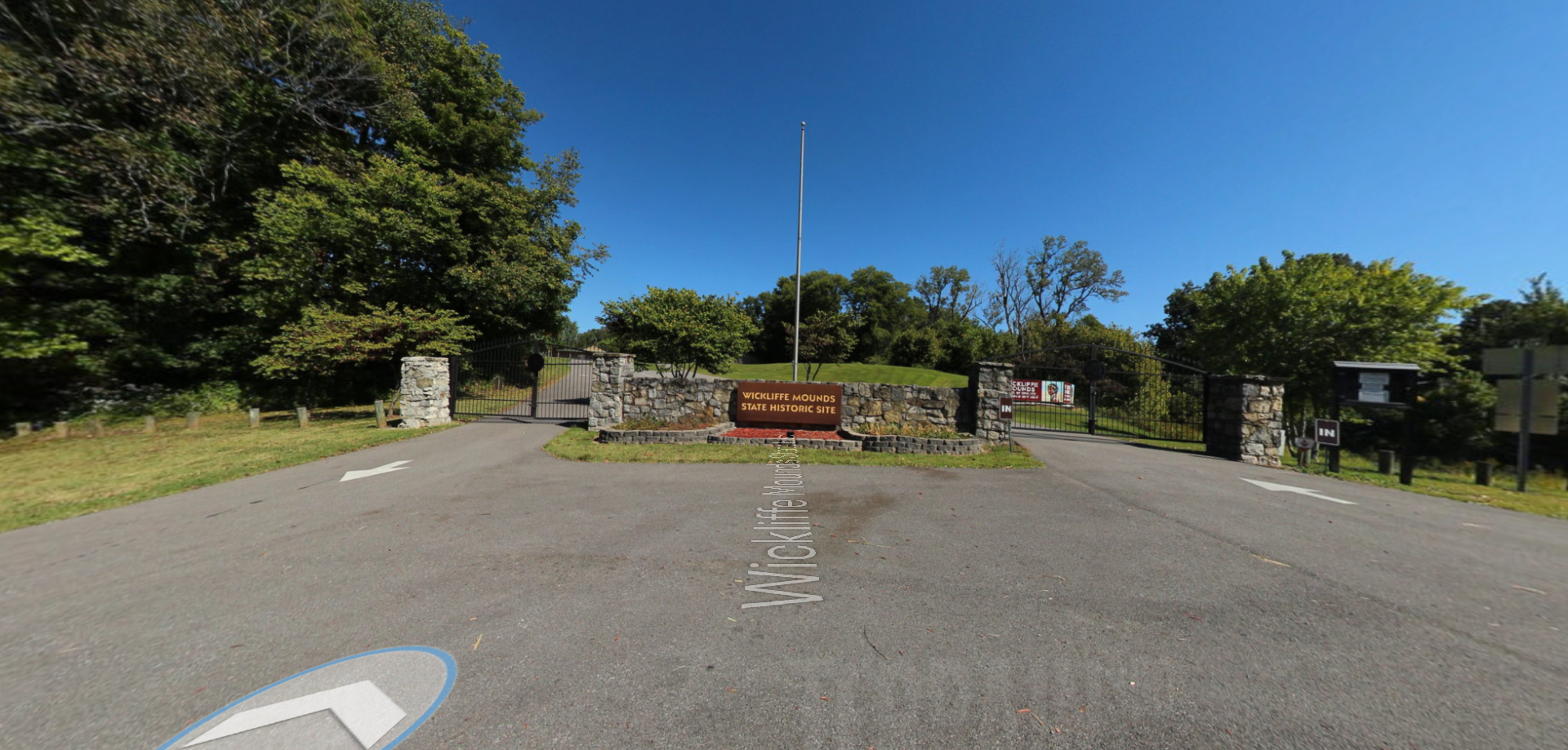
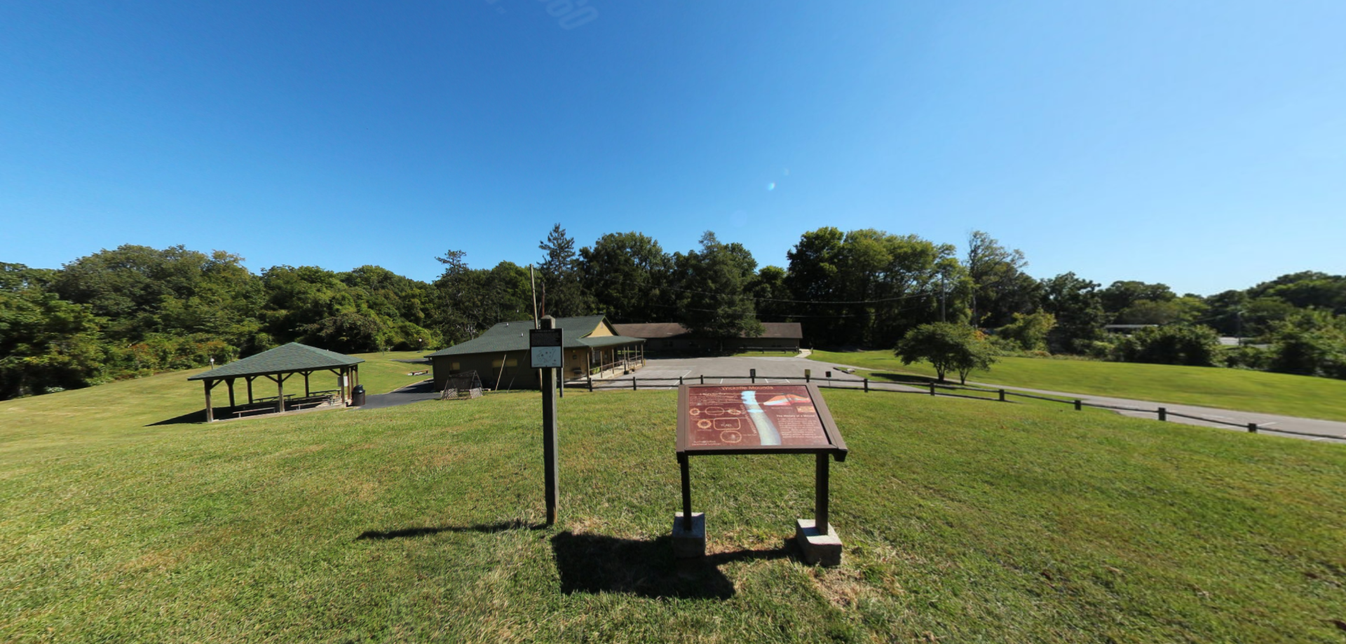
Lewis And Clark
National Historic Trail Experience
Retrace the Expedition and Explore New People, Places, and Stories
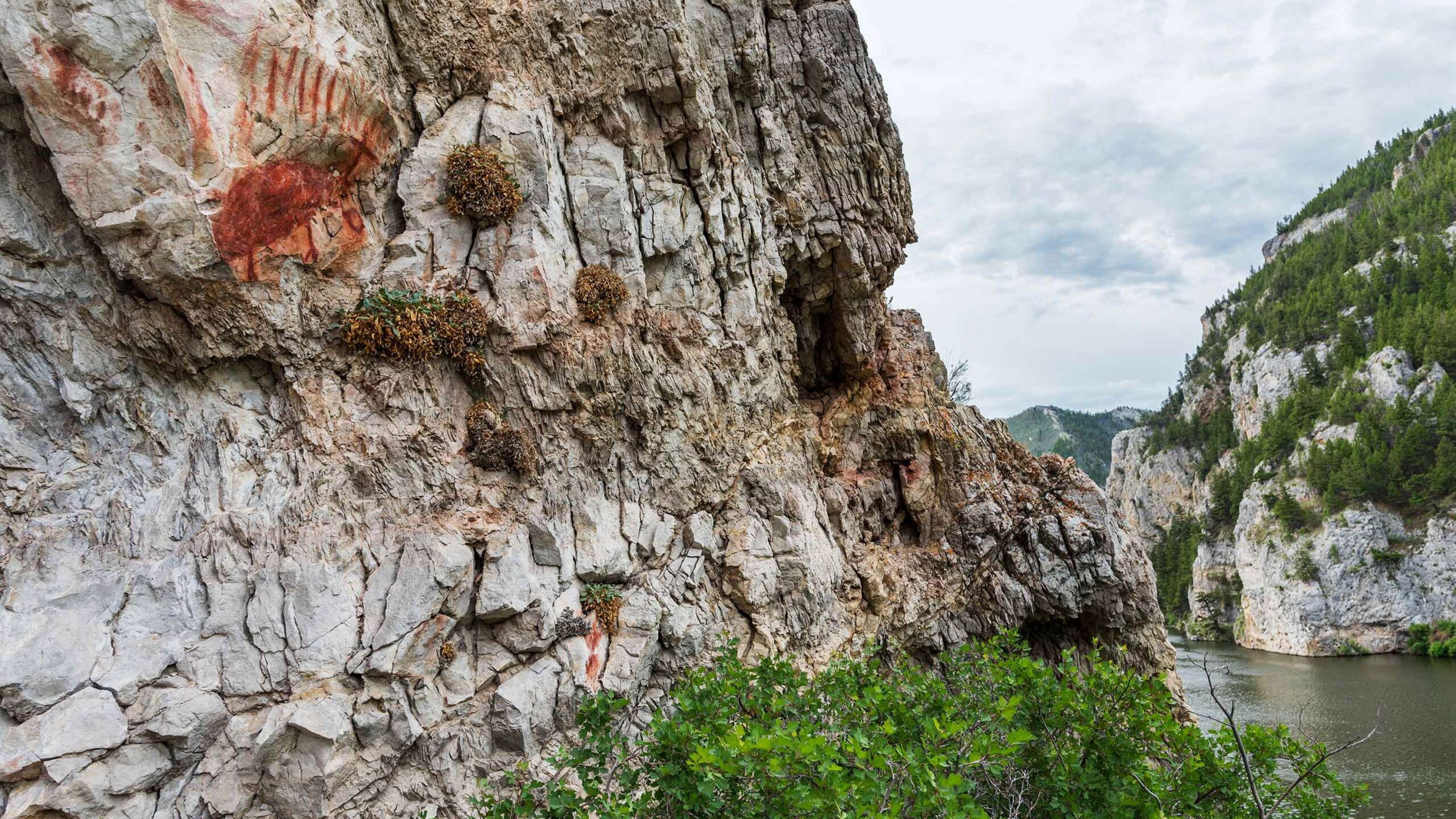
Petroglyphs on the Missouri
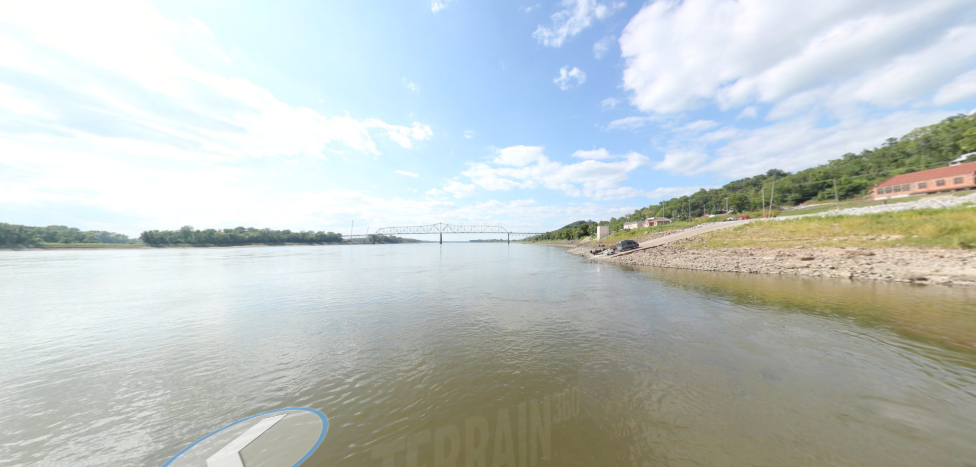
Lewis And Clark
National Historic Trail Experience
Retrace the Expedition and Explore New People, Places, and Stories
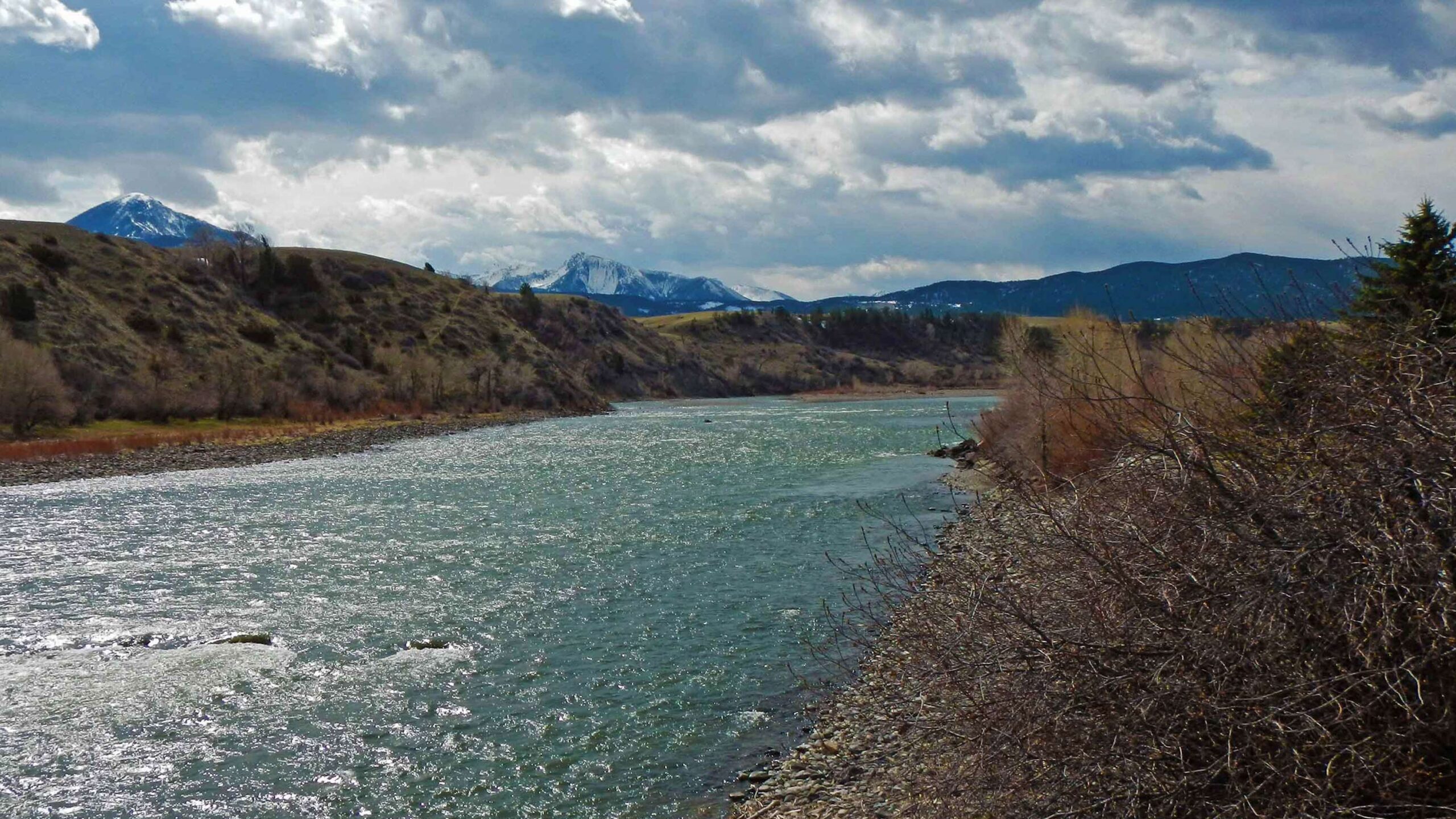
Yellowstone River
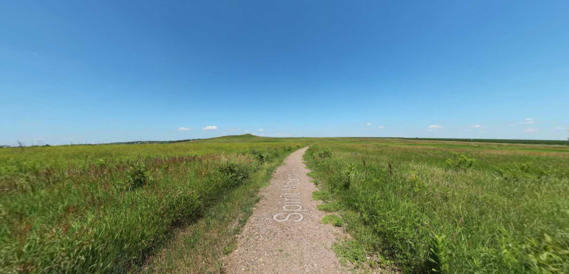
Lewis And Clark
National Historic Trail Experience
Retrace the Expedition and Explore New People, Places, and Stories
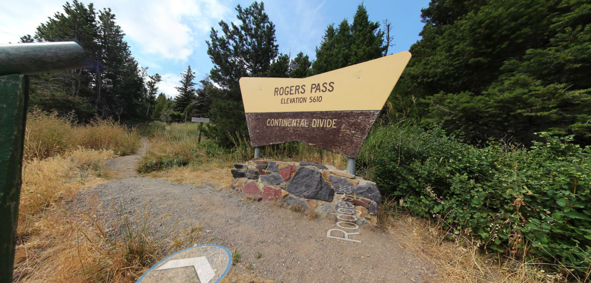
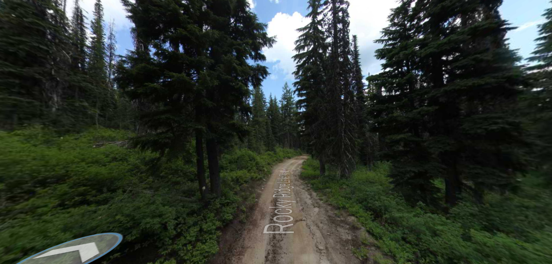
Missouri Breaks National Mounument