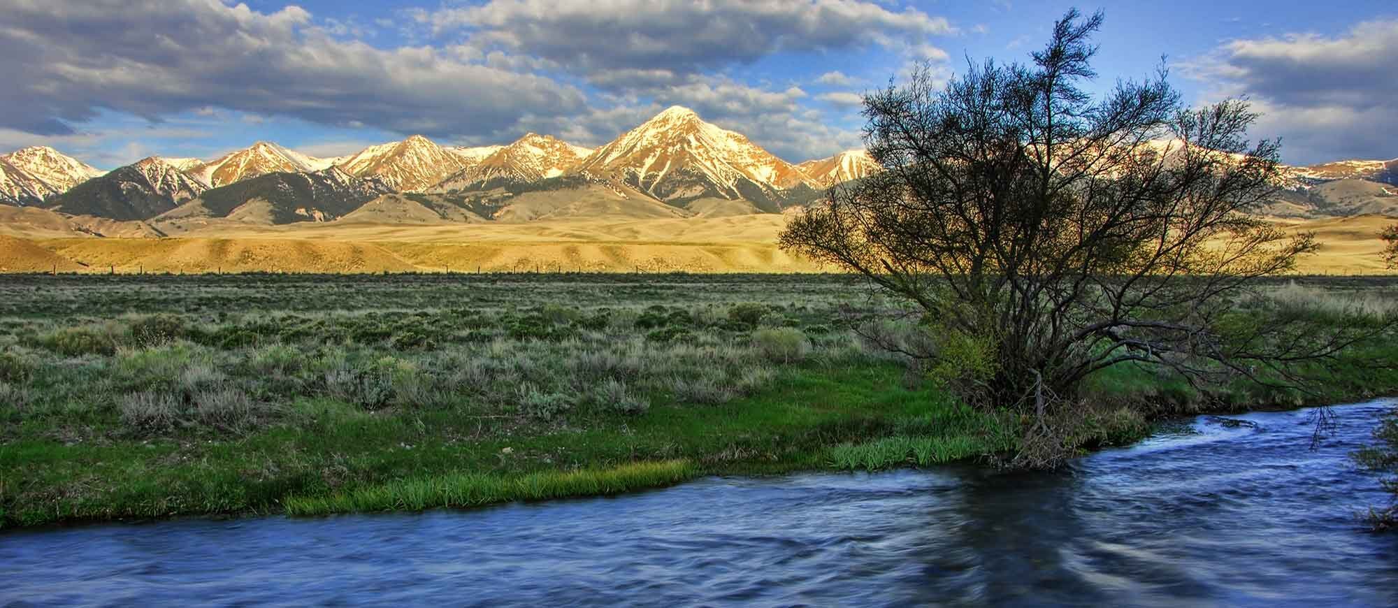
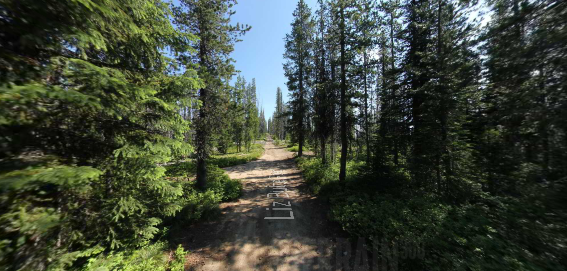
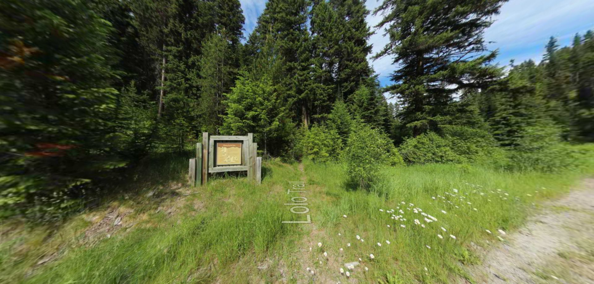
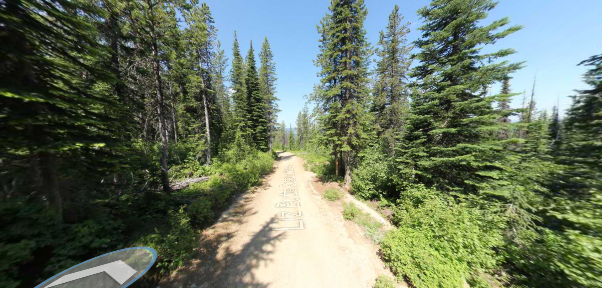
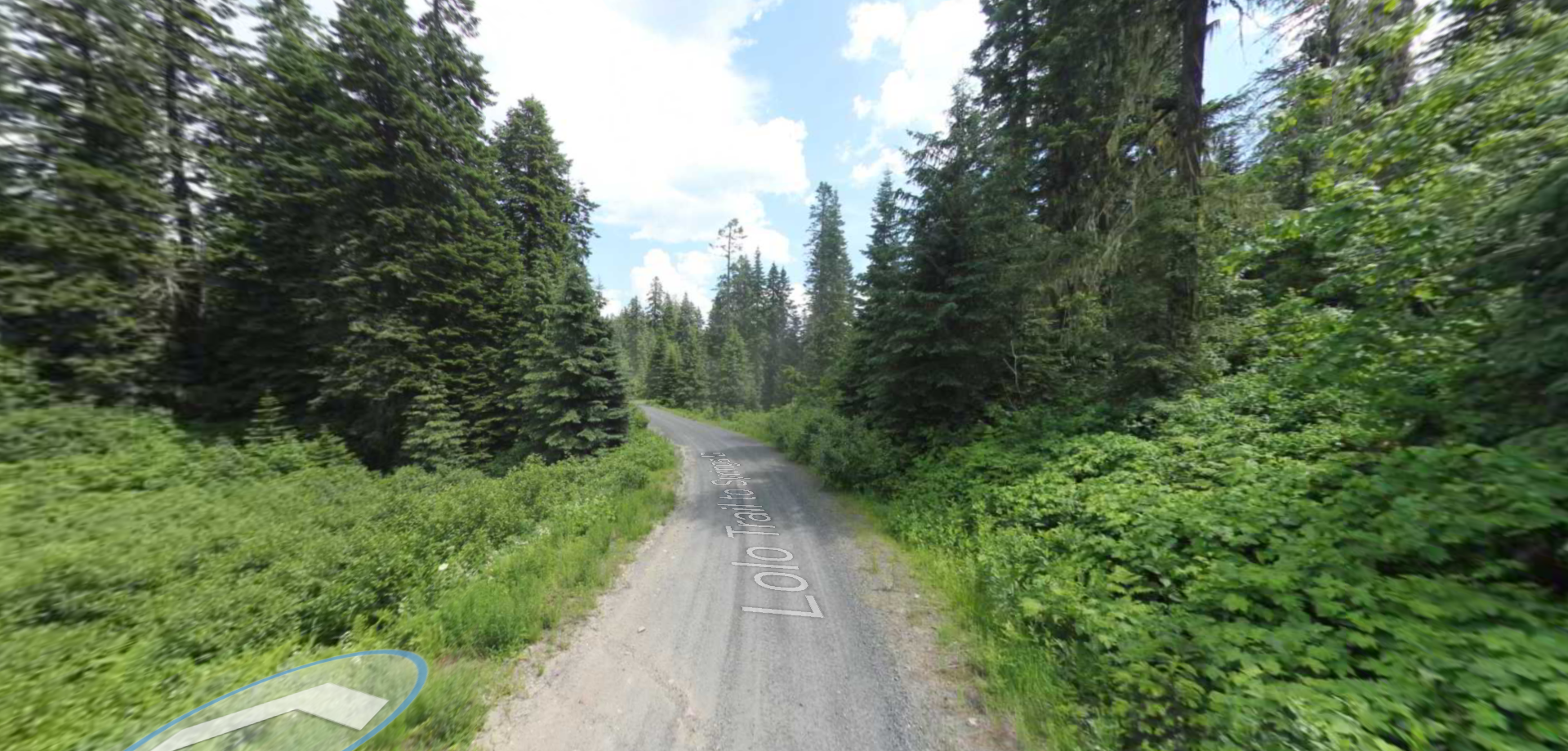
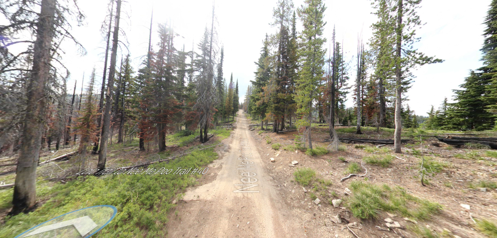
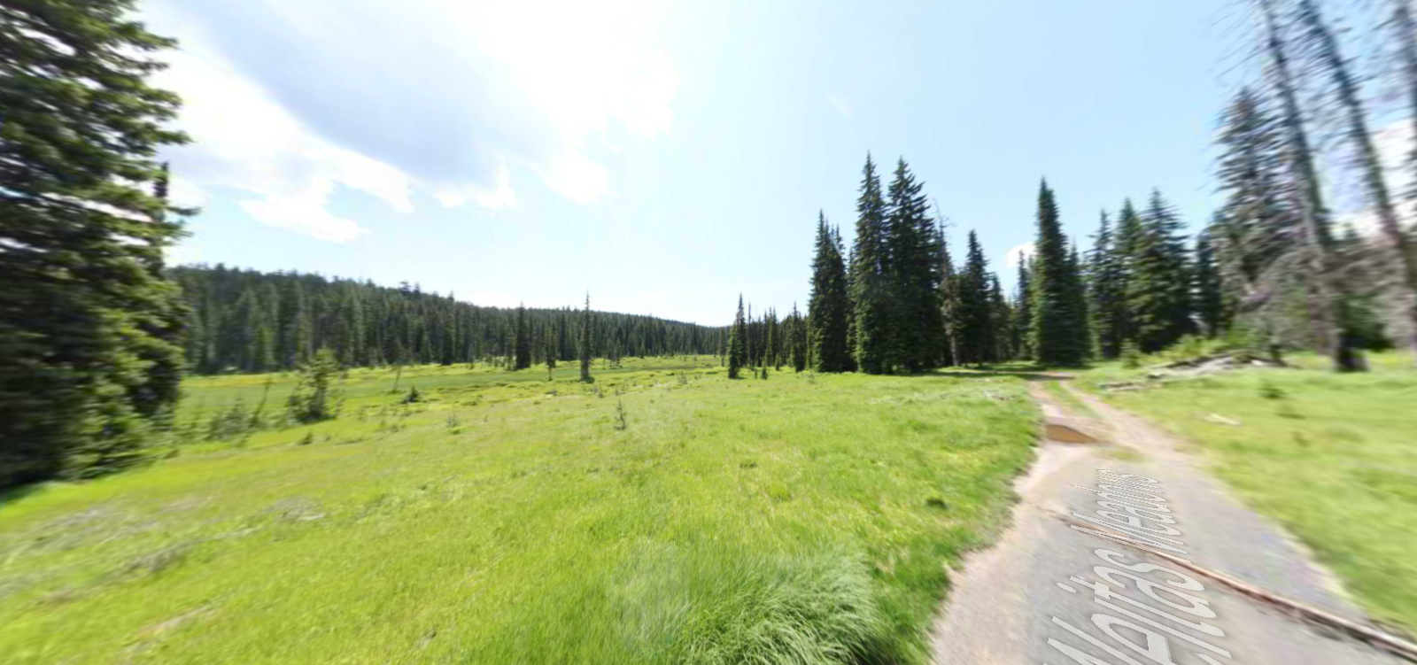
Lolo Trail
The Lolo Trail would prove to be a challenging obstacle for Lewis and Clark and the Corps of Discovery. Having no other way to go but forward in their expedition, the Corps enlisted the help of the local people who knew the trail in order to successfully make their way through the terrain. Throughout their 11 day trekking across the mountain pass from Idaho to Montana, the group suffered from dehydration, frostbite, malnutrition.
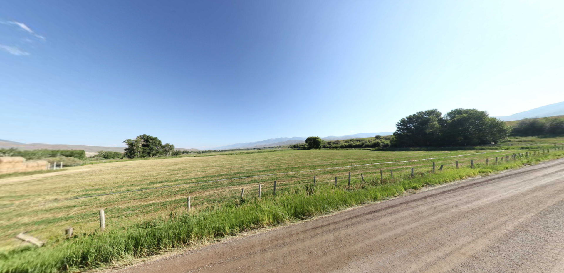
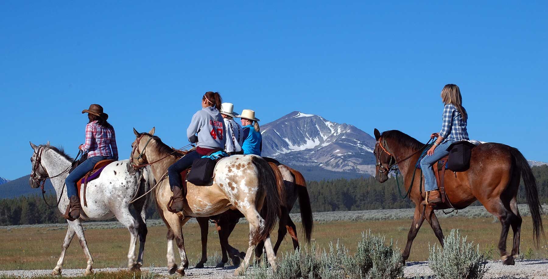
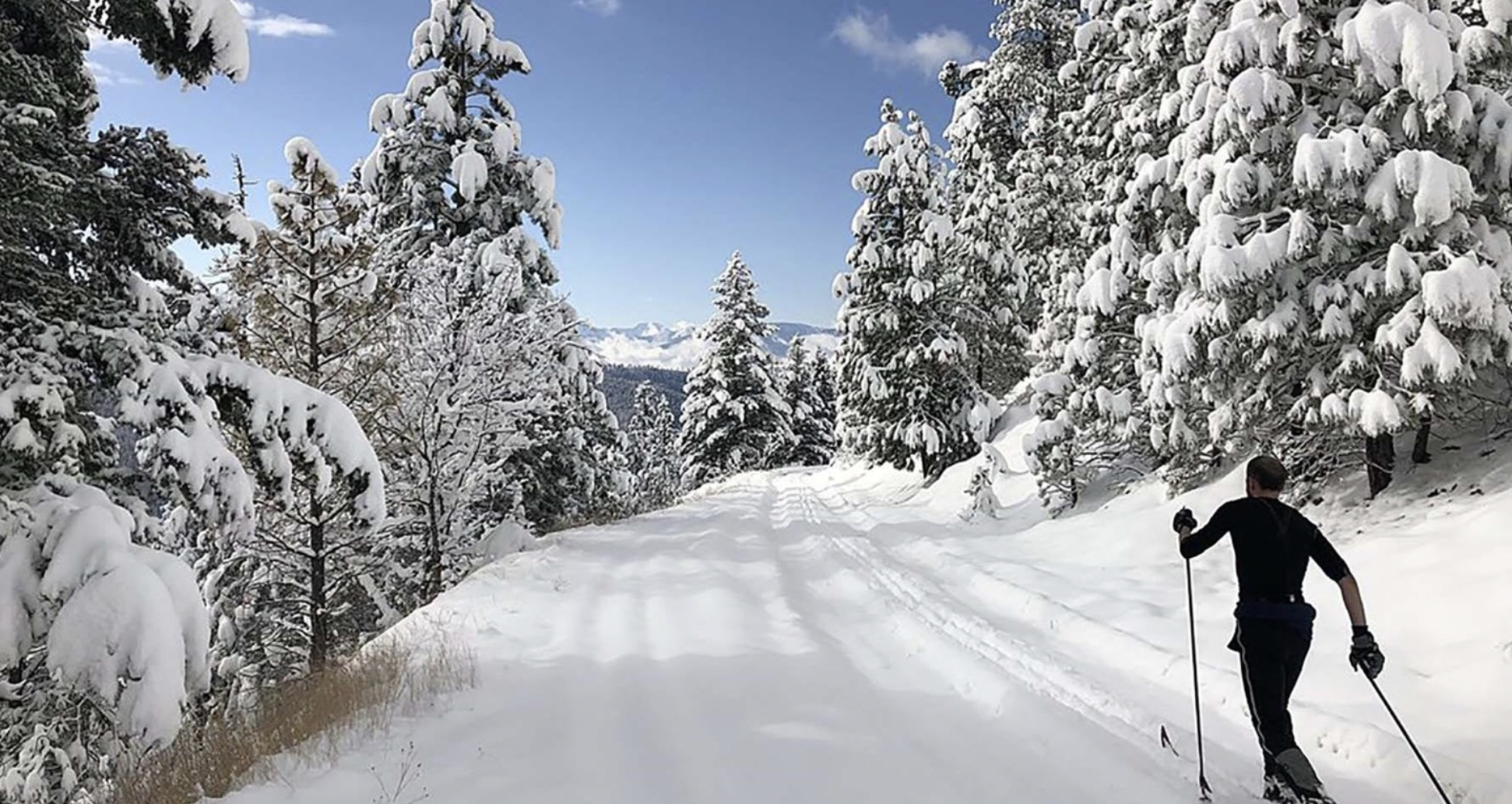
These days however, visitors will have a much more comfortable experience by visiting the Lolo Pass Visitor Center. The tourism experts at the visitor center will have all the information needed to learn about the surrounding national forests that provide ample opportunities for camping, hiking, horseback riding, hunting, skiing, snowshoeing, and snowmobiling.
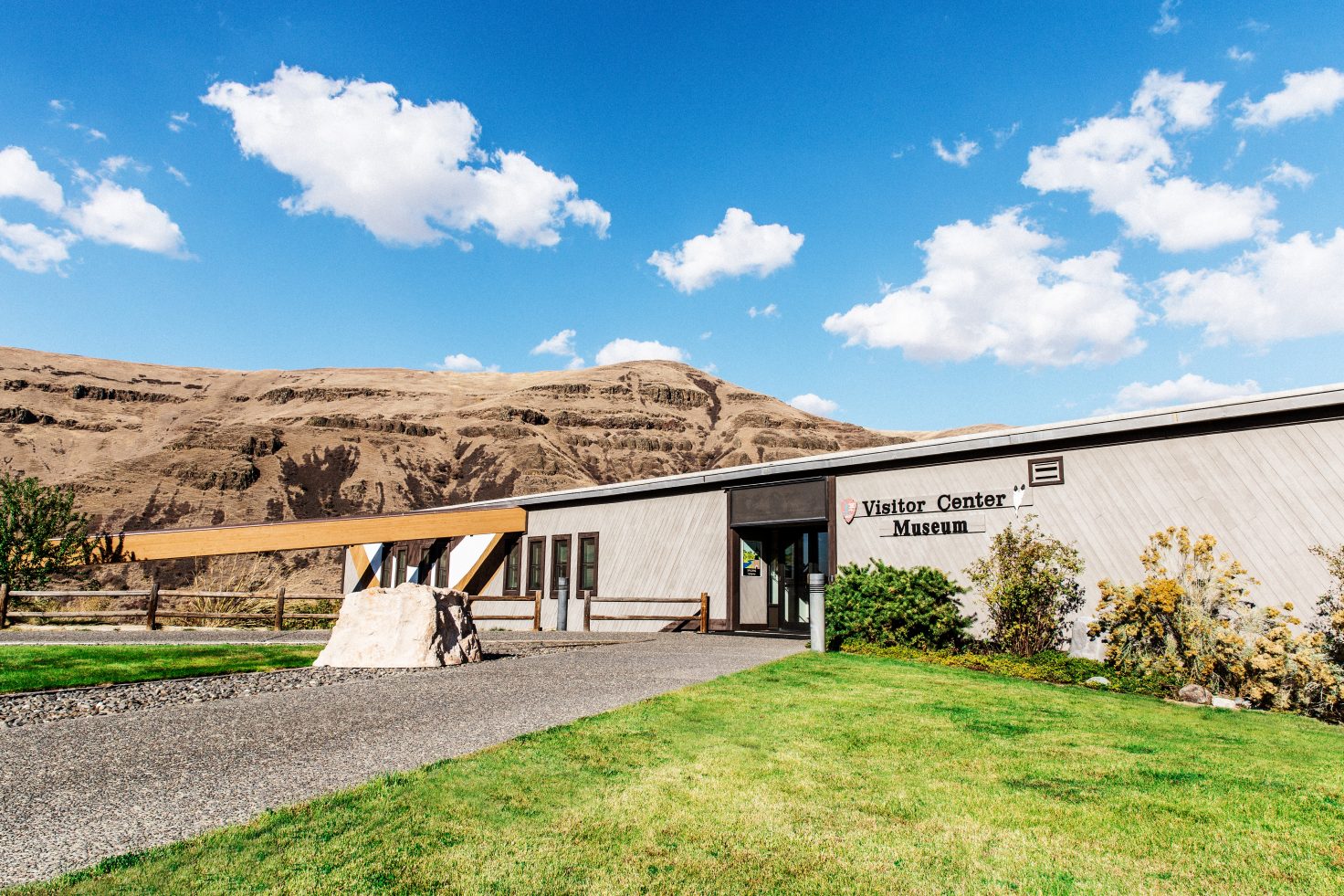
Visitor Center
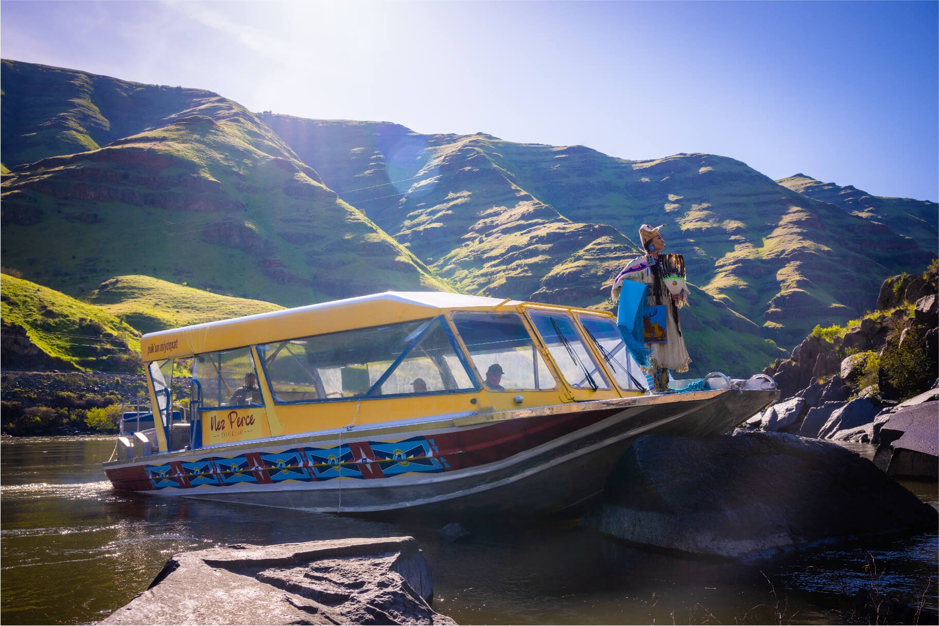
The Lolo Pass Visitor Center located on the Montana/Idaho border along U.S. Highway 12 has an interpretive center with information on the Lewis and Clark journey across the Bitterroot mountains, the Nez Perce Flight of 1877, historical, natural, and general information about the area, and a bookstore/gift shop. It also has a 24-hour restrooms, a covered picnic area, and a short interpretive trail with benches.
Distance Unit:
Distance Unit:
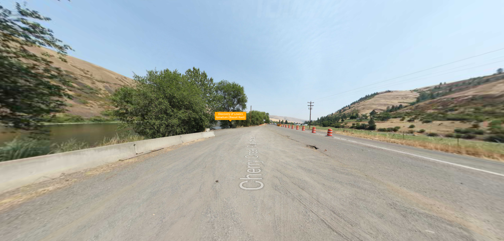
Embark on a historic trail dating back to August 9, 1805, when Lewis, accompanied by a scouting party, ventured away from the main group. Their mission: to discover a portage and establish contact with the…
Tucked 35 miles northeast of Pierce, just off Forest Service Road 250, Weitas Campground offers a tranquil escape on the shaded banks of Weitas Creek near the North Fork of the Clearwater River. Accessible via…