Trip Inspirations
Discover your own trail!
Curated by members of the Lewis & Clark Trail Alliance, these Trip Inspirations go beyond the well-known landmarks to reveal hidden gems along the Trail. Each journey includes links to rich historical backstories, nearby attractions, and an interactive map with driving directions. Customize your route by reversing directions, adding or removing stops, or even creating your own itinerary. Want even more? Use our LC Travel App or peruse our LC Travel Magazine.
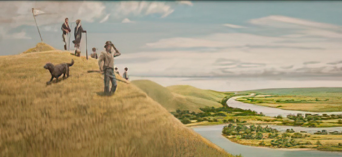
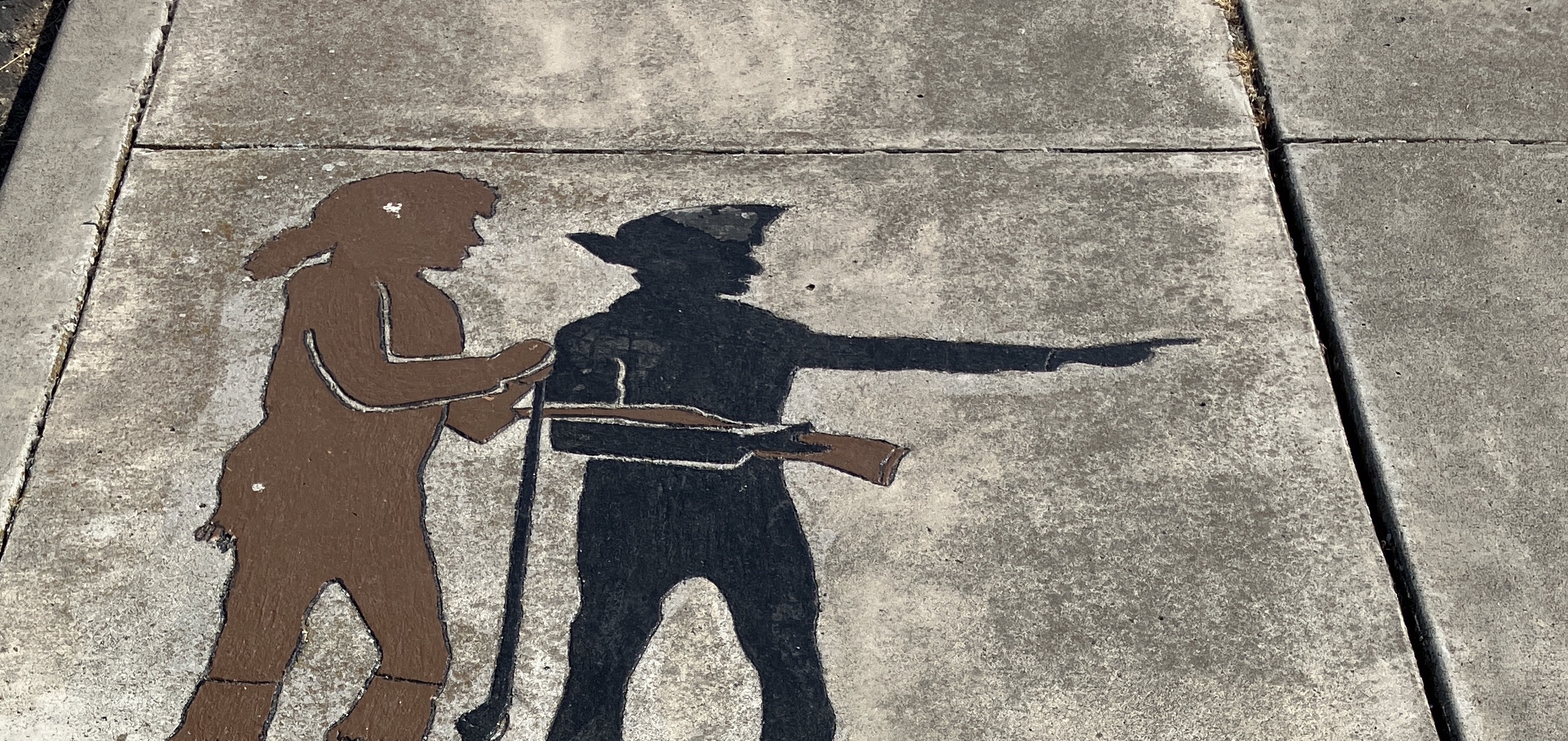
In the Footsteps of Meriwether Lewis
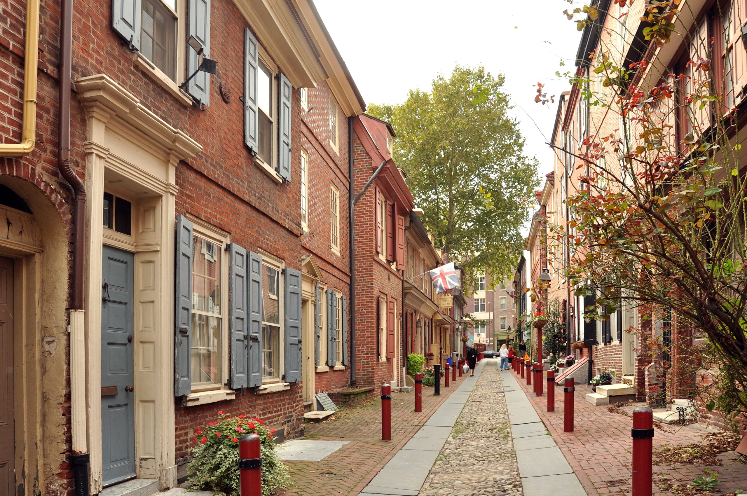
Walk in the footsteps of Meriwether Lewis as he bought supplies for the expedition in 1803. At the same time, experience the birth of the United States at key places in the Independence National Historic Park. The trip by foot…
Stops: 10
Distance: 2 miles
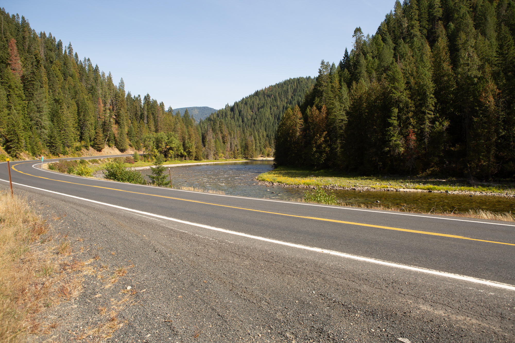
Along the National Road
When Meriwether Lewis left Harpers Ferry for Pittsburgh via Brownsville, he followed a corridor traveled for millennia. On July 8, Lewis wrote President Jefferson: “I shall set out myself in the course of an hour, taking the rout of Charlestown,…
Stops: 8
Distance: 171 miles
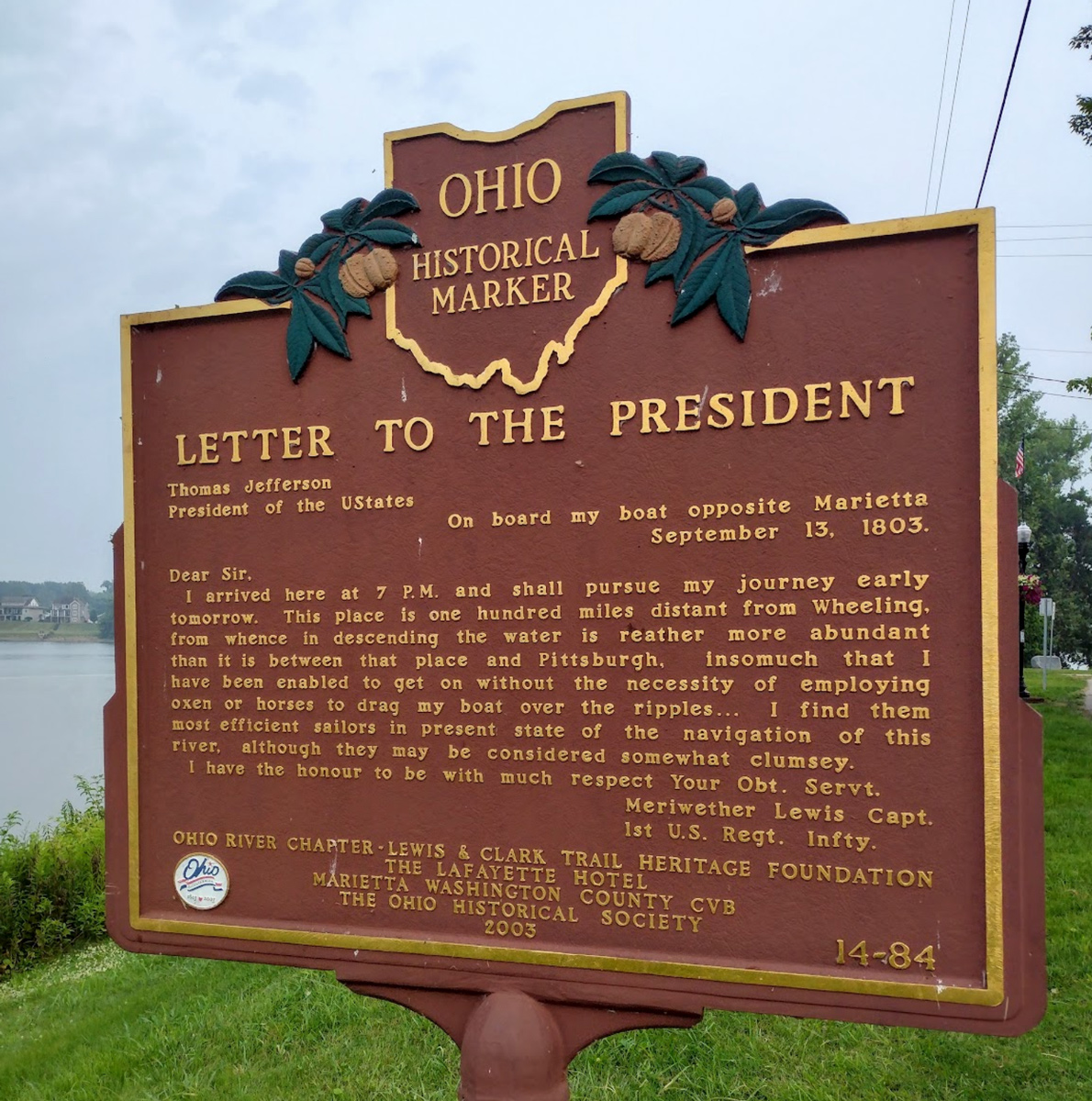
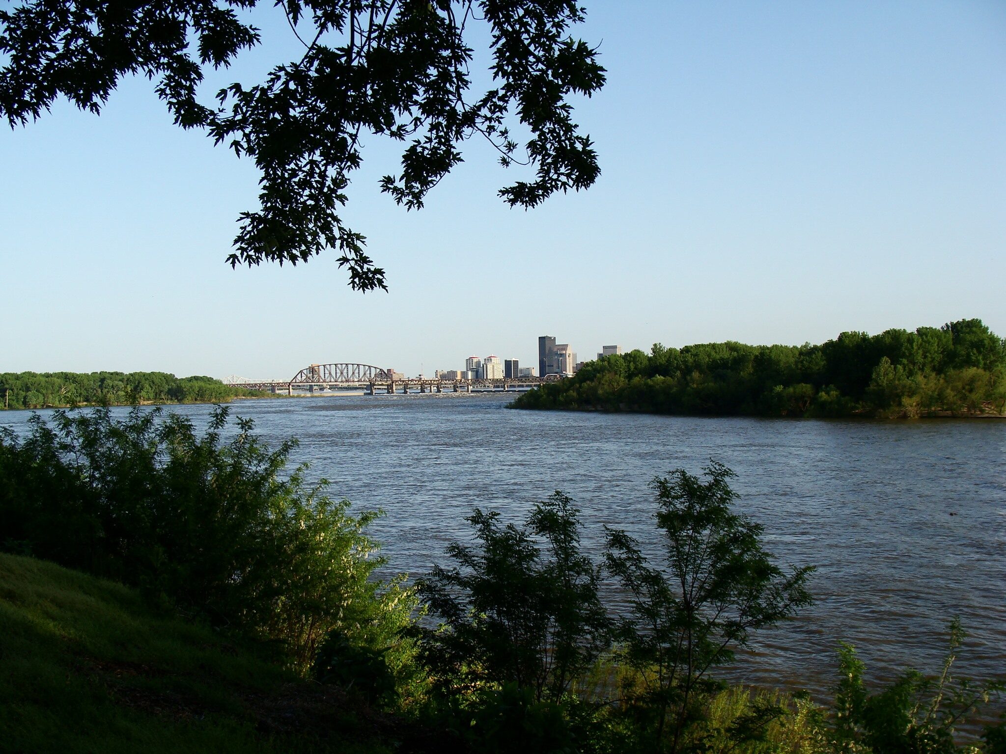
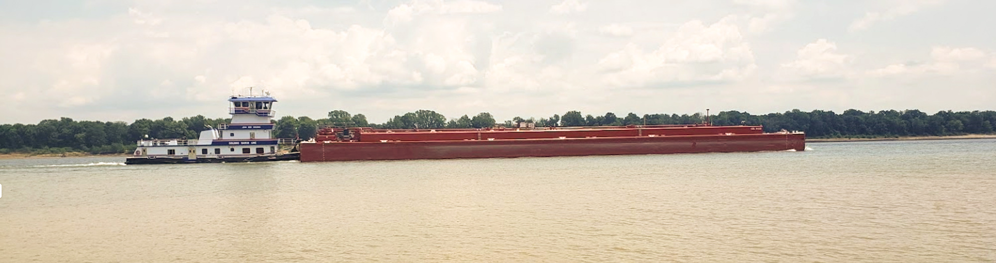
Ohio River Views
Take a trip down the Ohio River just as Lewis and his crew did in September 1803. Instead of stopping a ‘riffles’ to drag the barge with horses and oxen, you can stop the car and enjoy some great historic…
Stops: 7
Distance: 127 miles
The Long Reach of the Ohio
From the birthplace of West Virginia to one of the first pioneer settlements in the Northwest Territory, this trip takes you down the relatively remote Ohio River including its Long Reach. Nearing the trip’s end, there is an opportunity to…
Stops: 5
Distance: 85 miles
Around the Great Bend
This trip is short on miles to provide more time to visit interesting places along the scenic Ohio River byways. Marietta, Ohio is a great place to stay prior to departure and one could also spend an entire day at…
Stops: 6
Distance: 100 miles
Crossing Ancient Travelways
Learn about the Battle of Point Pleasant and Gallipolis—a French settlement present when Meriwether passed by in September 1803. Take a stroll in historic Ashland, Kentucky and enjoy one of its many locally owned shops and restaurants. Finish the day…
Stops: 6
Distance: 101 miles
Waterway of Westward Expansion
Take a road trip down the historic Ohio River in Ohio and Kentucky with stops in Portsmouth, Maysville, and Augusta. On the Kentucky side, follow the Mary Ingles Highway as the river winds its way to Cincinnati. These four cities…
Stops: 7
Distance: 116 miles
The Indiana Shore
Follow the route of the Lewis’s boats when they left Cincinnati to meet him below Big Bone Lick. See the North Bend of the Ohio and then follow the Indiana shore to the Falls of the Ohio. Along the way,…
Stops: 8
Distance: 134 miles
Falls of the Ohio
Explore the Falls of the Ohio, a key site in the Lewis and Clark story along the Ohio River near Louisville. Walk in the footsteps of Meriwether Lewis, William and his brother George Rogers Clark while discovering the fossil beds…
Stops: 7
Distance: 22 miles
Along the Kentucky Shore
On October 26, 1803, Meriwether Lewis and William Clark boarded their military barge and for the first time during the expedition, moved as a team down the Ohio River. Completely on the Kentucky side of the river, this trip meanders…
Stops: 6
Distance: 154 miles
Birds, Moundbuilders, and Caves
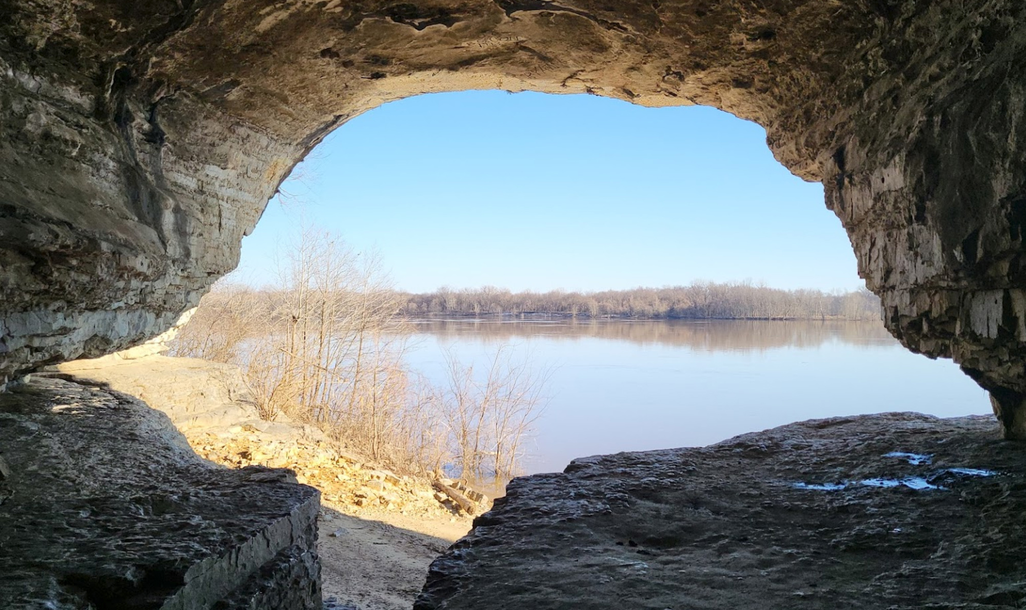
Follow the Lewis & Clark Expedition as they move down the Ohio in early November 1803. Starting in Owensboro, Kentucky, visit ancient Indigenous mounds and pioneer river towns in both Indiana and Kentucky and end at one of the hideouts…
Stops: 7
Distance: 111 miles
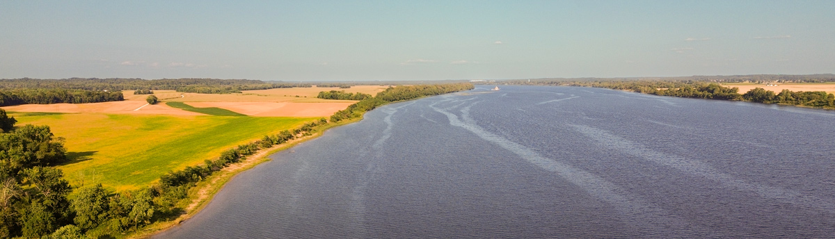
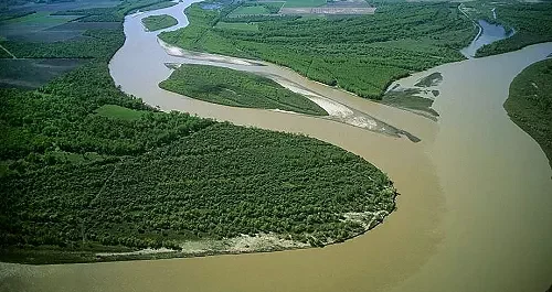
Two Mighty Rivers
More commercial travel occurs between the Tennessee and Cumberland Rivers and mouth of the Ohio than any other U.S. inland waterway. This Inspiration Trip takes you from the most southern-most point in Illinois to historic Fort Massac where the Expedition…
Stops: 8
Distance: 92 miles
Against the Current
After leaving the Falls of the Ohio and floating the Ohio River downstream to the confluence with the Mississippi, the Lewis & Clark Expedition rounded the bend and began heading for the first time against the powerful fluvial currents they…
Stops: 11
Distance: 181 miles
French Colonial
In late 1803, Meriwether Lewis and William Clark led their expedition north along the mighty Mississippi River, traveling from the confluence of the Ohio and Mississippi Rivers near present-day Cairo, Illinois, to their winter encampment at Camp Dubois, near modern-day…
Stops: 9
Distance: 207 miles
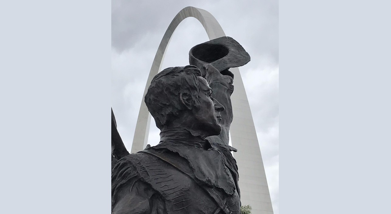
Gateway to the West
St. Louis played a pivotal role in America’s westward expansion, a legacy embodied by the iconic Gateway Arch National Park. But there’s much more to explore beyond the Arch and a storied baseball tradition. Stand where the Missouri River meets…
Stops: 9
Distance: 113 miles
Catch the KATY Trail
On May 21, 1804, the Expedition departed from St. Charles, reaching the mouth of Moniteau Creek on June 7th, near what is now Rocheport. Traveling westward from St. Charles, you can trace their path on both sides of the river.…
Stops: 10
Distance: 212 miles
Blue Highways
Join us as we follow the Lewis and Clark National Historic Trail through western Missouri and into Kansas. Starting in Columbia, we’ll explore the historic Booneslick Country, named for Daniel Boone’s sons’ salt works, where Lewis and Clark noted the…
Stops: 7
Distance: 158 miles
The Platte Purchase
Embark on a journey through history along the Missouri River, where explorers, pioneers, and traders shaped the American frontier. Begin at Kaw Point, where Lewis and Clark once camped, then cross the Fairfax Bridge and wind through the scenic river…
Stops: 7
Distance: 122 miles
Land of the Báxoje
Embark on an unforgettable journey along the Missouri River, tracing the path of Lewis and Clark! Begin in White Cloud, Kansas, where the stunning Four-State Lookout offers breathtaking views of lands rich in indigenous history. Follow the river north to…
Stops: 4
Distance: 123 miles
First Council and Floyd's Death
Start in Omaha, where the expedition camped in 1804, and visit the Lewis and Clark Landing and Durham Museum to explore the region’s past. Travel north to Fort Atkinson State Historic Park, Nebraska’s first military post, where reenactments bring the…
Stops: 7
Distance: 145 miles
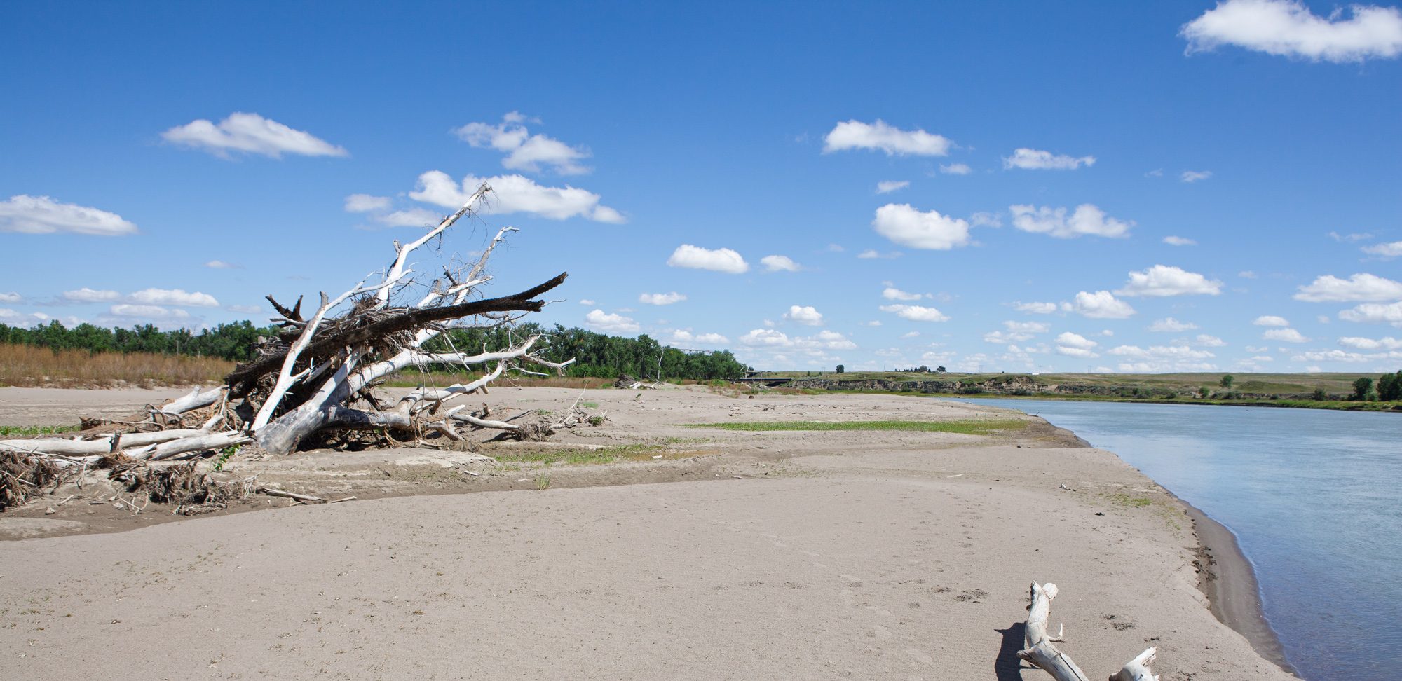
Missouri National Recreational River
Traveling from Sioux City, Iowa, to Niobrara, Nebraska, takes you on a beautiful 90-mile journey through the rolling landscapes of the Missouri River Valley. This route follows the path of the Lewis and Clark Expedition, offering breathtaking views, historic sites,…
Stops: 6
Distance: 111 miles
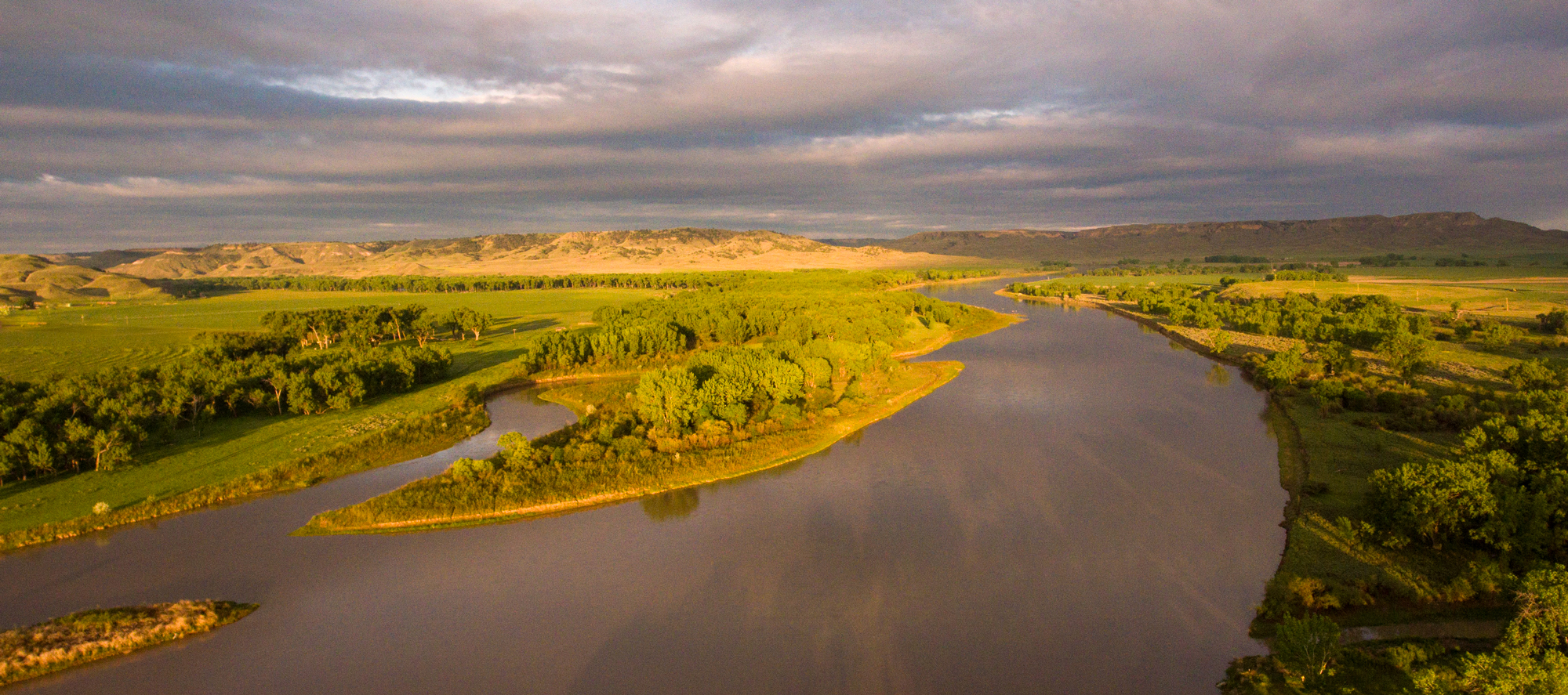
Big Bend of the Misssouri
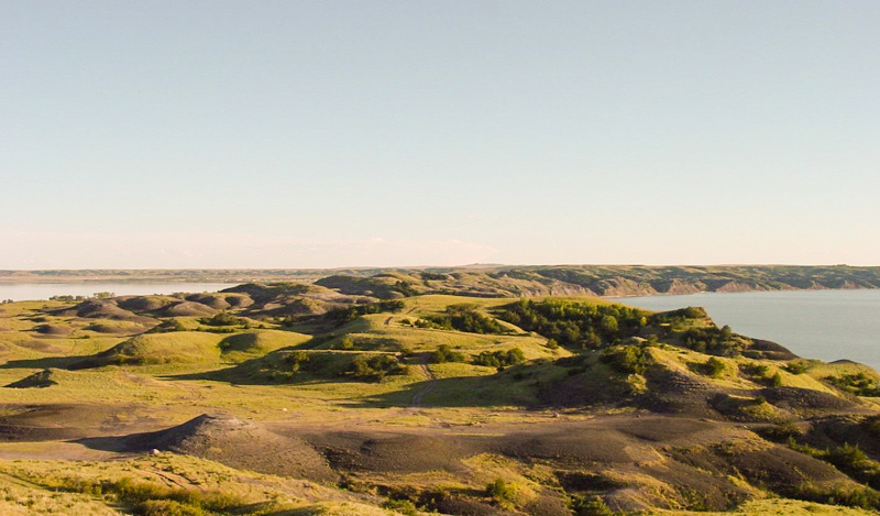
Follow the Lewis and Clark National Historic Trail from Niobrara, Nebraska, to Pierre, South Dakota, tracing the Missouri River through rich history and stunning landscapes. Start in Niobrara, where rolling prairies meet the river, then head to Fort Randall, home…
Stops: 6
Distance: 229 miles
The Land of Sitting Bull
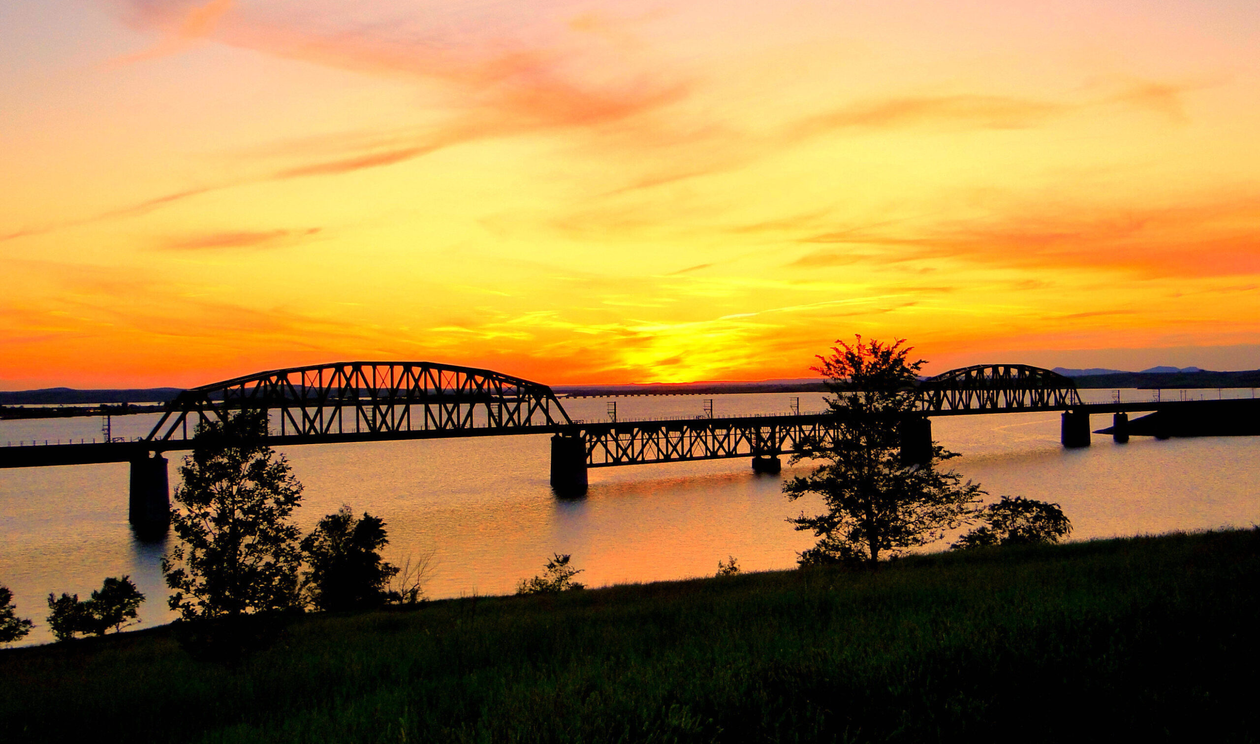
Travel up the Missouri River, retracing the path of the Corps of Discovery from Pierre on U.S. Highway 83, paralleling the path of the Lewis and Clark Expedition as you travel toward Mobridge. Reflect on the Missouri River’s role in…
Stops: 6
Distance: 230 miles
South Tour Loop
After leaving their first winter encampment at Camp Dubois across from St. Louis, Missouri on May 14, 1804, the Corps of Discovery under the direction of US Army Captains Meriwether Lewis and William Clark made their way slowly but surely…
Stops: 5
Distance: 33 miles
North Tour Loop
After leaving their first winter encampment at Camp Dubois across from St. Louis, Missouri on May 14, 1804, the Corps of Discovery under the direction of US Army Captains Meriwether Lewis and William Clark made their way slowly but surely…
Stops: 8
Distance: 161 miles
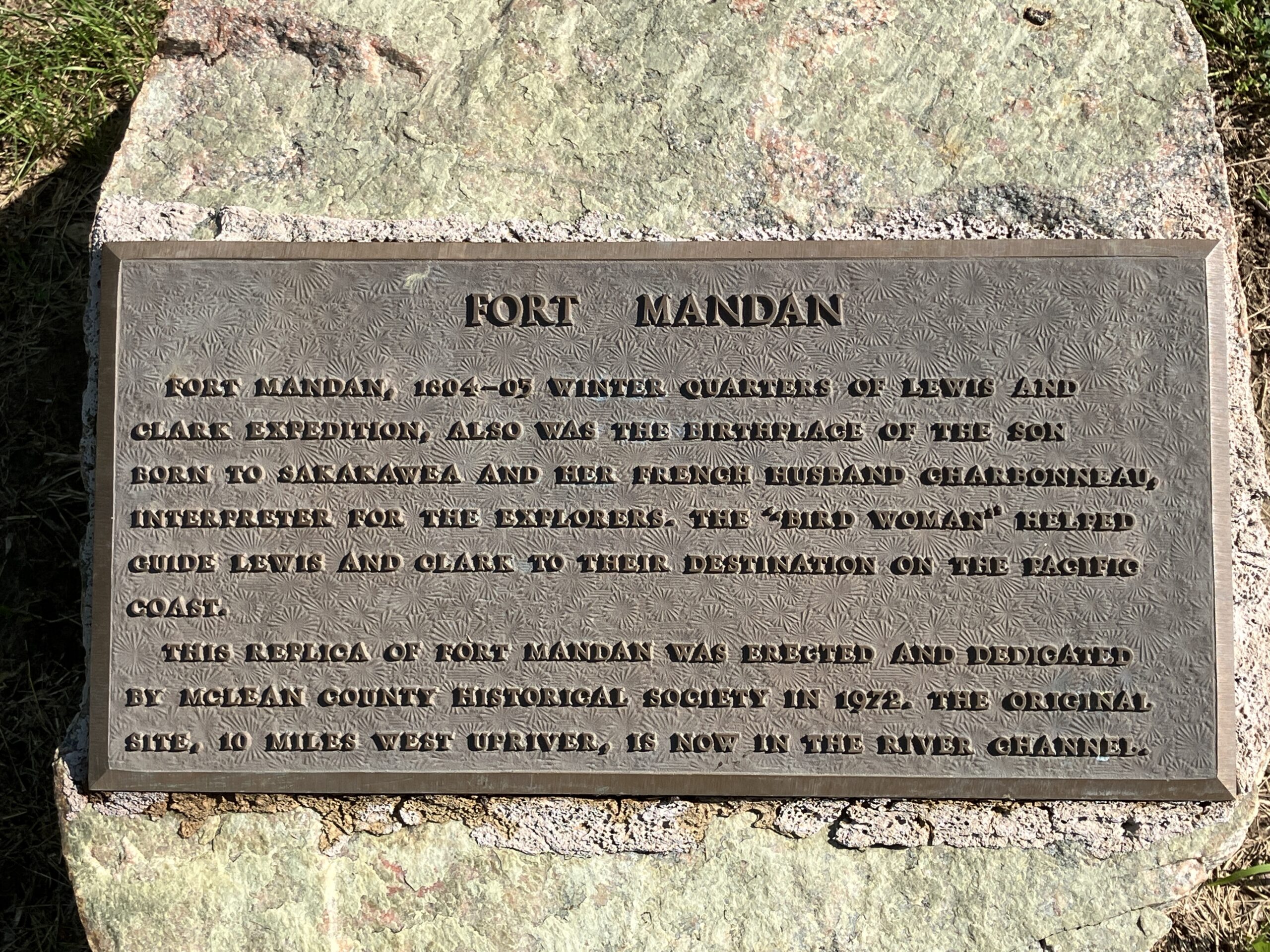
To the Yellowstone!
On April 7, 1805, the Lewis and Clark Expedition left their winter quarters and headed up the Missouri River. This trip follows their journey stopping at key attractions along the way. See a fully furnished, reconstructed Fort Mandan, walk in…
Stops: 10
Distance: 272 miles
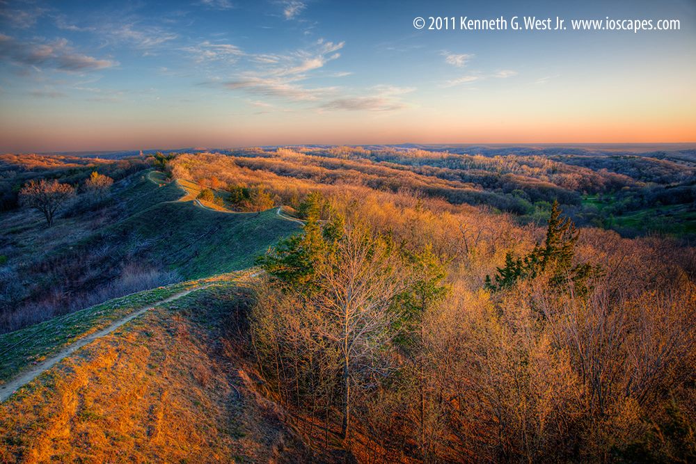
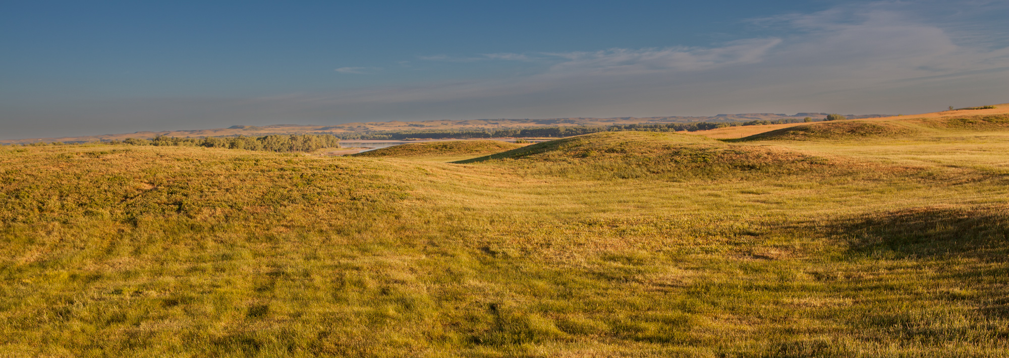
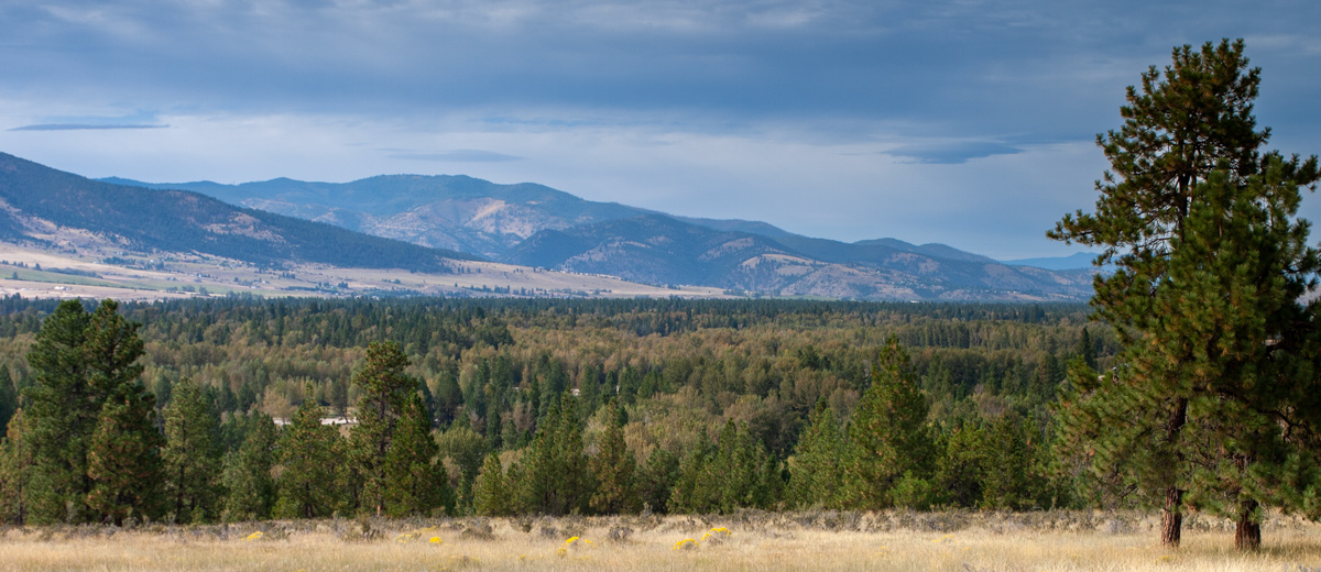
Eastern Montana
The Lewis & Clark Expedition disproved the existence of an easy, river-based Northwest Passage through the middle latitudes of North America. In the decades to follow, the Oregon Trail, the Pony Express, and various stagecoach routes allowed for difficult, dangerous,…
Stops: 5
Distance: 451 miles
Across the Northern Reach
In late-April and May 1805, the Lewis and Clark Expedition’s enlisted men were paddling, poling, sailing, and towing their boats up the Missouri River between the mouth of the Yellowstone River and the Fred Robinson Bridge on US Highway 191.…
Stops: 9
Distance: 307 miles
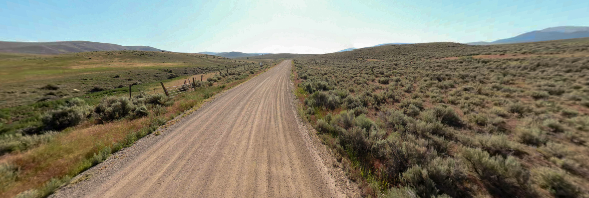
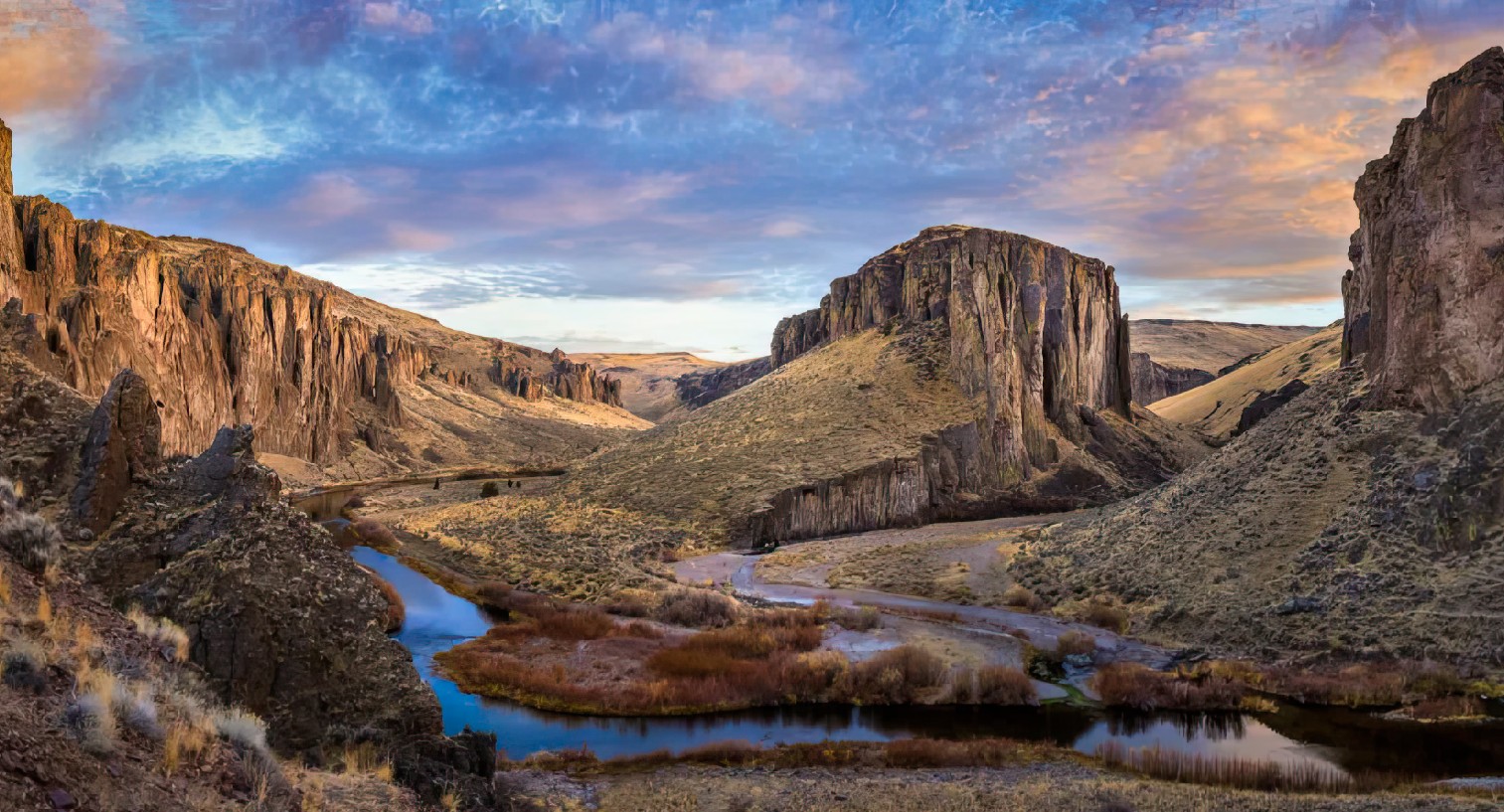
Into the Breaks!
The Upper Missouri River Breaks in Eastern Montana is a rugged, yet scenic, stretch of the Lewis and Clark Trail typically accessed by boat. For those traveling the trail by car, this Inspiration Trip gives a glimpse of the Lewis…
Stops: 8
Distance: 304 miles
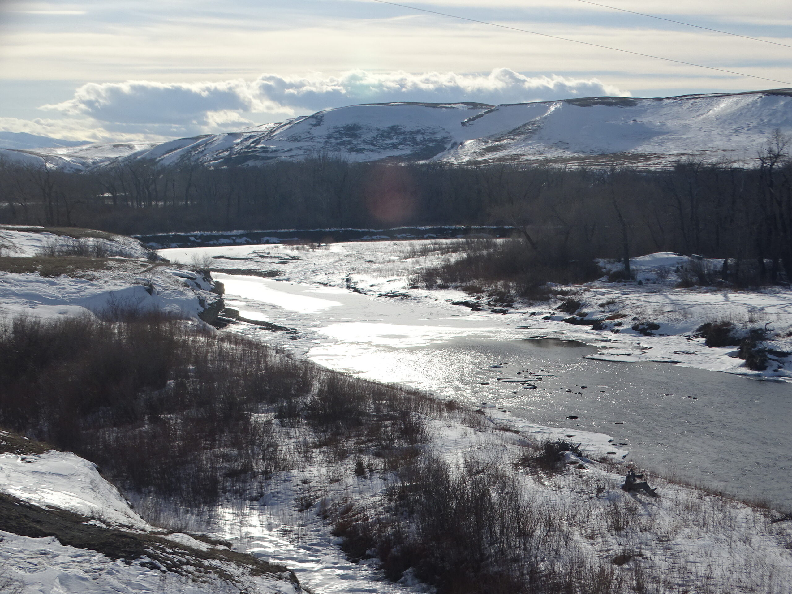
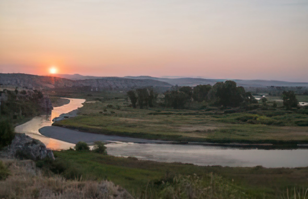
White Cliffs
The Lewis and Clark Expedition left Fort Mandan on April 7, 1805. On that date, Meriwether Lewis penned in his journal (spelling in the orginal): “Our vessels consisted of six small canoes, and two large perogues. This little fleet altho’…
Stops: 11
Distance: 147 miles
Reunion
Follow in the footsteps of William Clark’s 1806 return journey as he led his detachment down the Yellowstone River, with hopes to reunite with Lewis at the confluence of the Yellowstone and Missouri Rivers. Begin in Billings, where you can…
Stops: 6
Distance: 327 miles
North Central Montana
The Lewis & Clark Expedition disproved the existence of an easy, river-based Northwest Passage through the middle latitudes of North America. In the decades to follow, the Oregon Trail, the Pony Express, and various stagecoach routes allowed for difficult, dangerous,…
Stops: 4
Distance: 91 miles
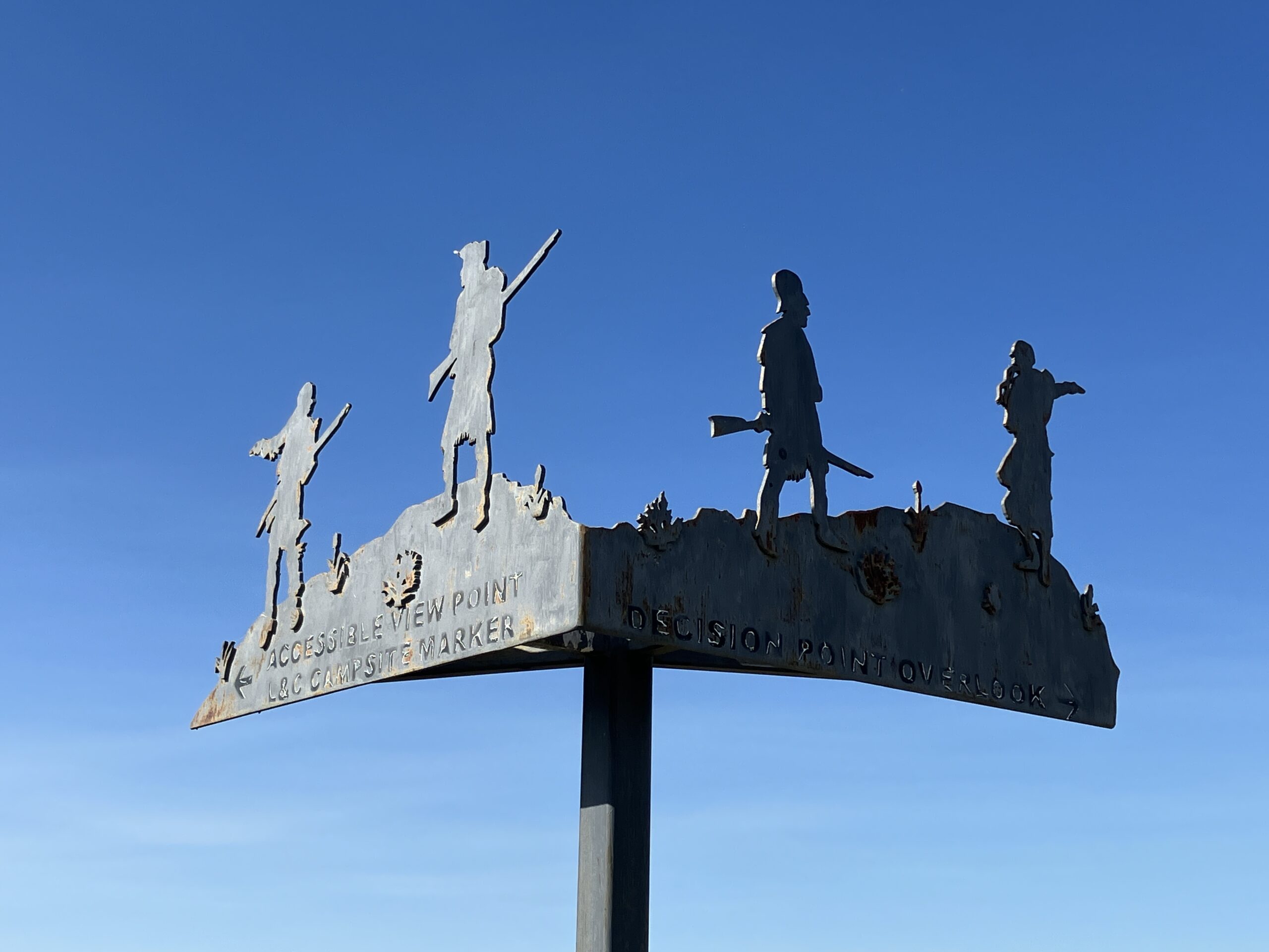
Portage Route
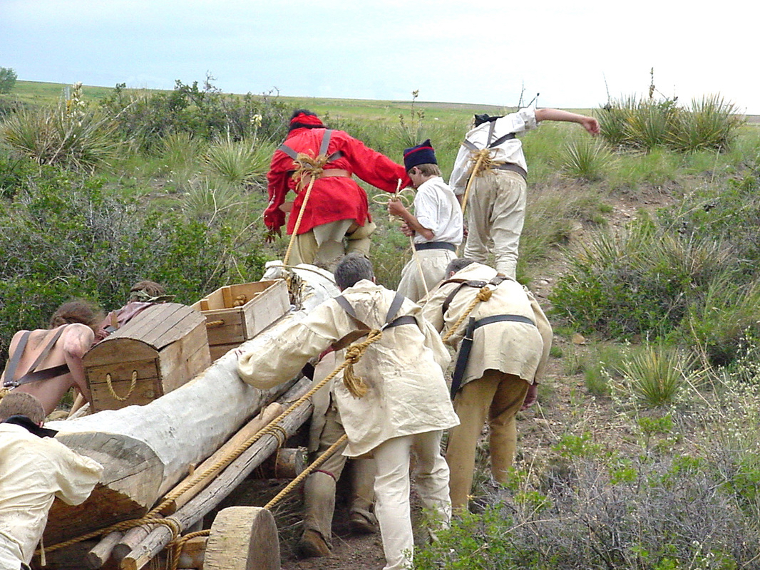
On June 13, 1805, Capt. Meriwether Lewis encountered the Great Falls of the Missouri and knew that the left branch at Decision Point was the true Missouri River. Further exploration revealed that a total of five waterfalls in the area…
Stops: 9
Distance: 47 miles
The Mountain Gates Part 1
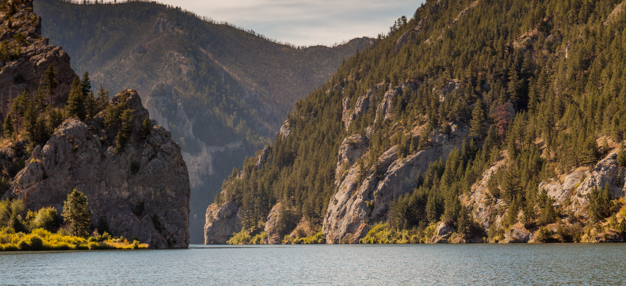
On their way to the Headwaters of the Missouri in July 1805, the Expedition journalists described passing through several “gates”—narrow, mountainous constrictions in the Missouri River. This trip stops at the first two, known today as Tower Rock and Gates…
Stops: 7
Distance: 145 miles
The Mountain Gates Part 2
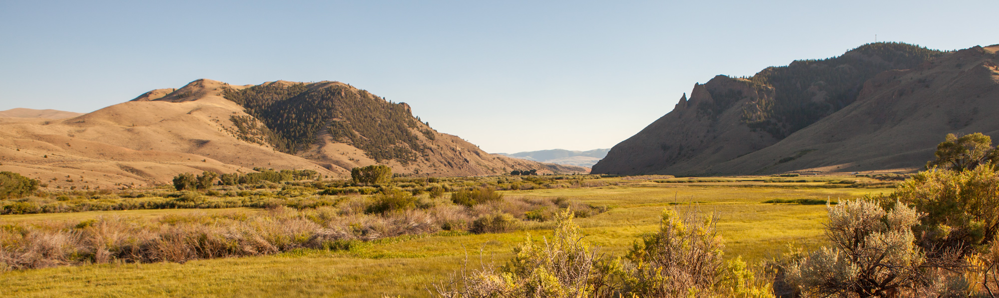
This adventure starts where Sacagawea was captured as a child and ends where she was reunited with her Lemhi Shoshone People. It starts at the Missouri River headwaters, then up the Jefferson River and through its canyon, and up the…
Stops: 6
Distance: 116 miles
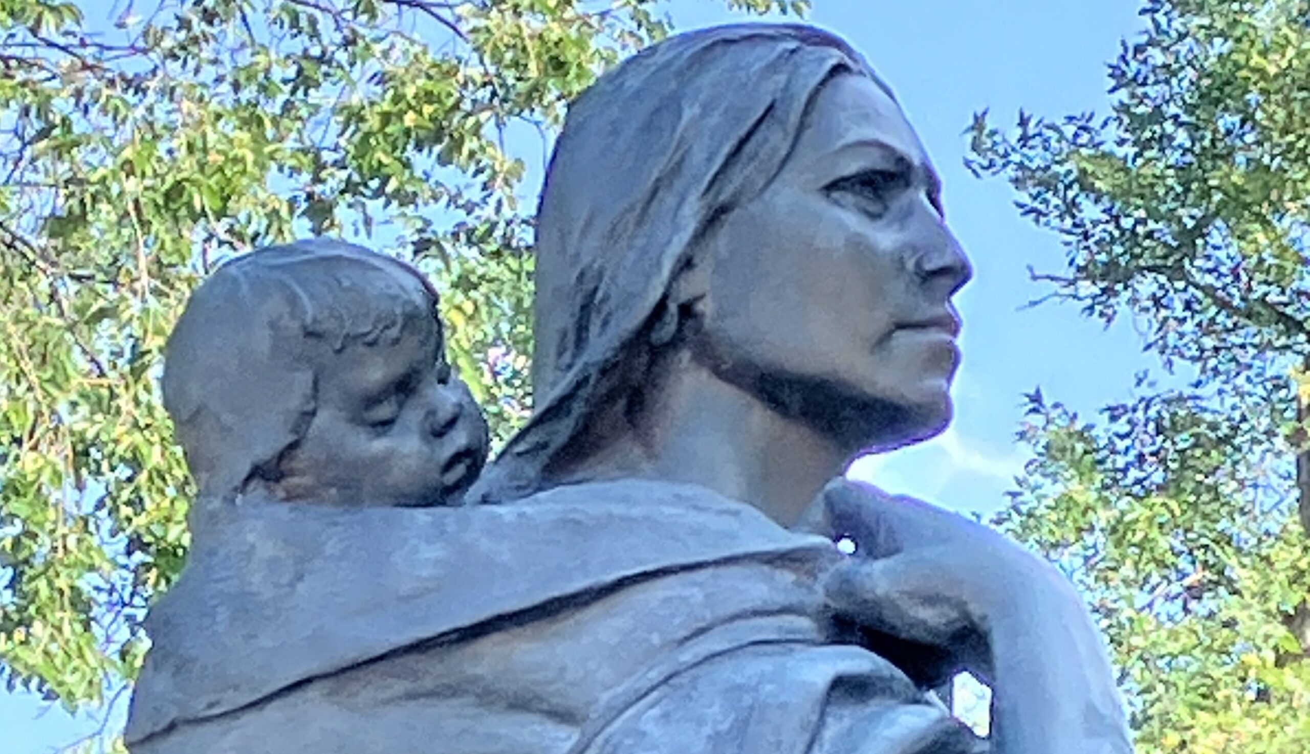
Sacajawea's Home
They spell it Sacajawea here! On this Inspiration Trip, you will find out why. Cross the Great Divide where Lewis and Clark and countless generations before them did. Then journey down the Lemhi River Valley to the Sacajawea Interpretive, Cultural…
Stops: 9
Distance: 136 miles
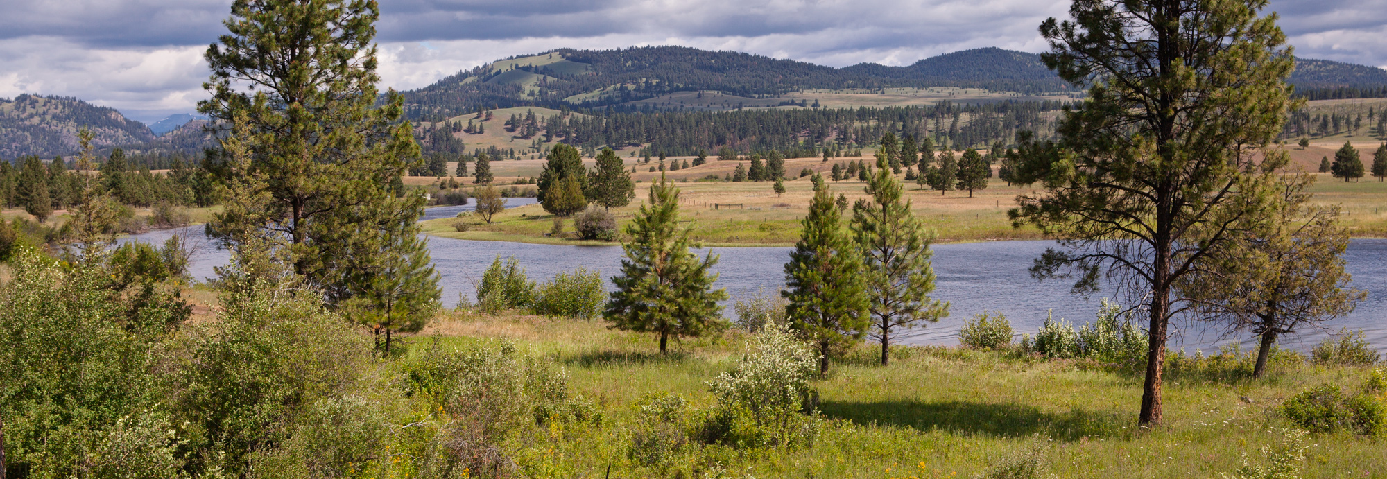
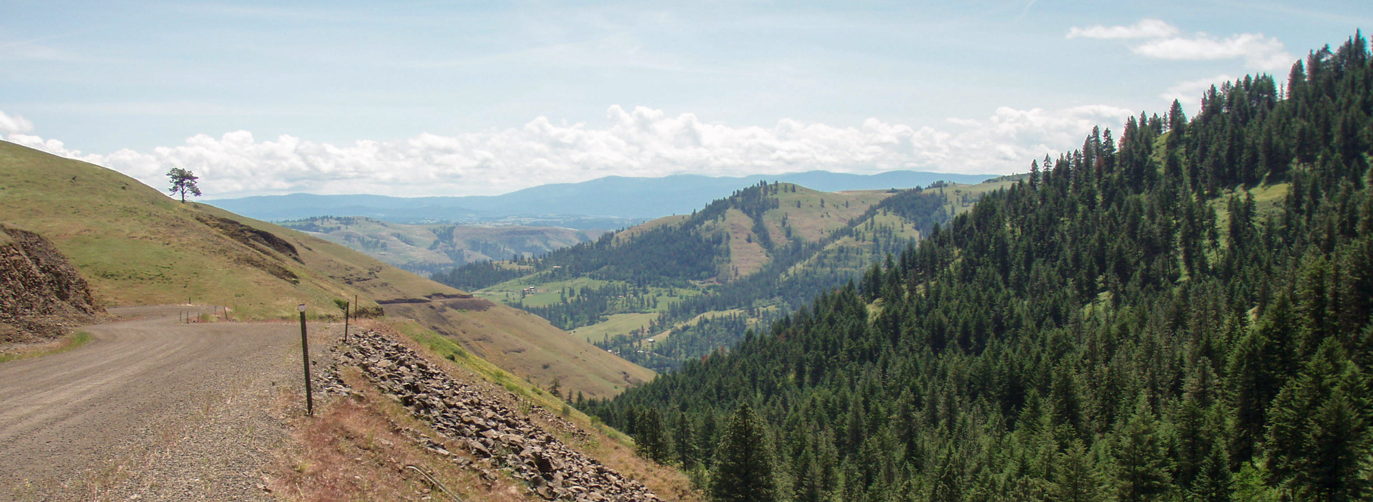
Down the Bitterroot Valley
On August 31, 1805, the Lewis and Clark Expedition left the Lemhi Shoshone and headed north with Toby and his sons as guides. Follow their route up the North Fork of the Salmon River, up and over Lost Trail Pass,…
Stops: 8
Distance: 143 miles
Up the Blackfoot River
Traveling up the Blackfoot River and crossing the Great Divide at what is known today as Lewis and Clark Pass, Lewis seemed ebullient. Over 200 years later, each wonder described in his journals unfolds mile-by-mile as the traveler drives Montana…
Stops: 6
Distance: 180 miles
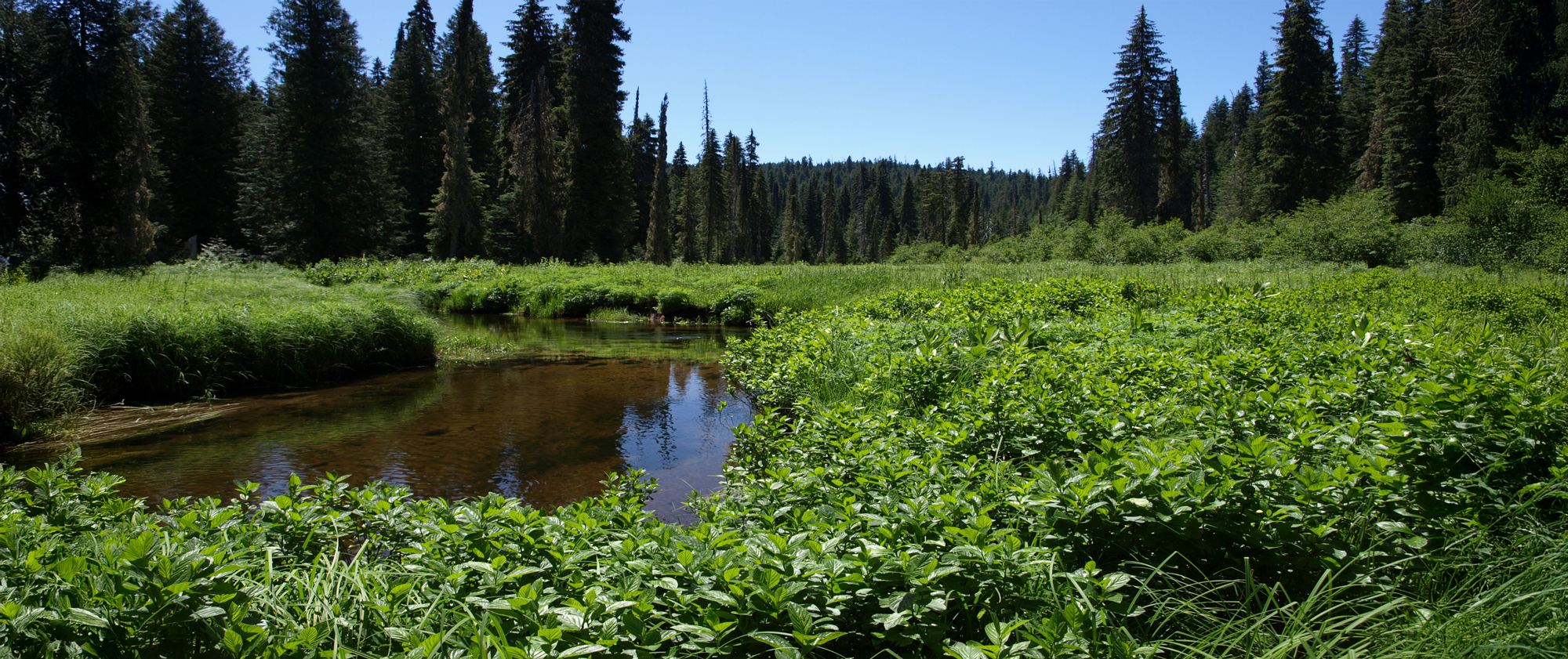
Down the Lochsa and Clearwater
Due to steep hills and canyons, the Lewis and Clark Expedition was not able to follow the present route of US Highway 12 between Lolo, Montana and Kamiah, Idaho. Their route instead followed the ridgelines roughly 2000 feet above the…
Stops: 10
Distance: 145 miles
Triumph over the Mountains
“the pleasure I now felt in having tryumphed over the rocky Mountains and decending once more to a level and fertile country where there was every rational hope of finding a comfortable subsistence for myself and party can be more…
Stops: 9
Distance: 112 miles
Tsceminicum
The confluence of the Clearwater and Snake Rivers was an important geographic point passed by the Lewis and Clark Expedition in the fall of 1805. The Snake appeared on William Clark’s resulting map as Lewis’s River. The native Nez Perce…
Stops: 8
Distance: 22 miles
Lewiston to Long Camp
On Lewis and Clark’s return trip in May 1806, the captains were determined to collect the horses and saddles that they had left in the care of Twisted Hair. They headed up the Clearwater River accompanied by several helpful Nez…
Stops: 10
Distance: 100 miles
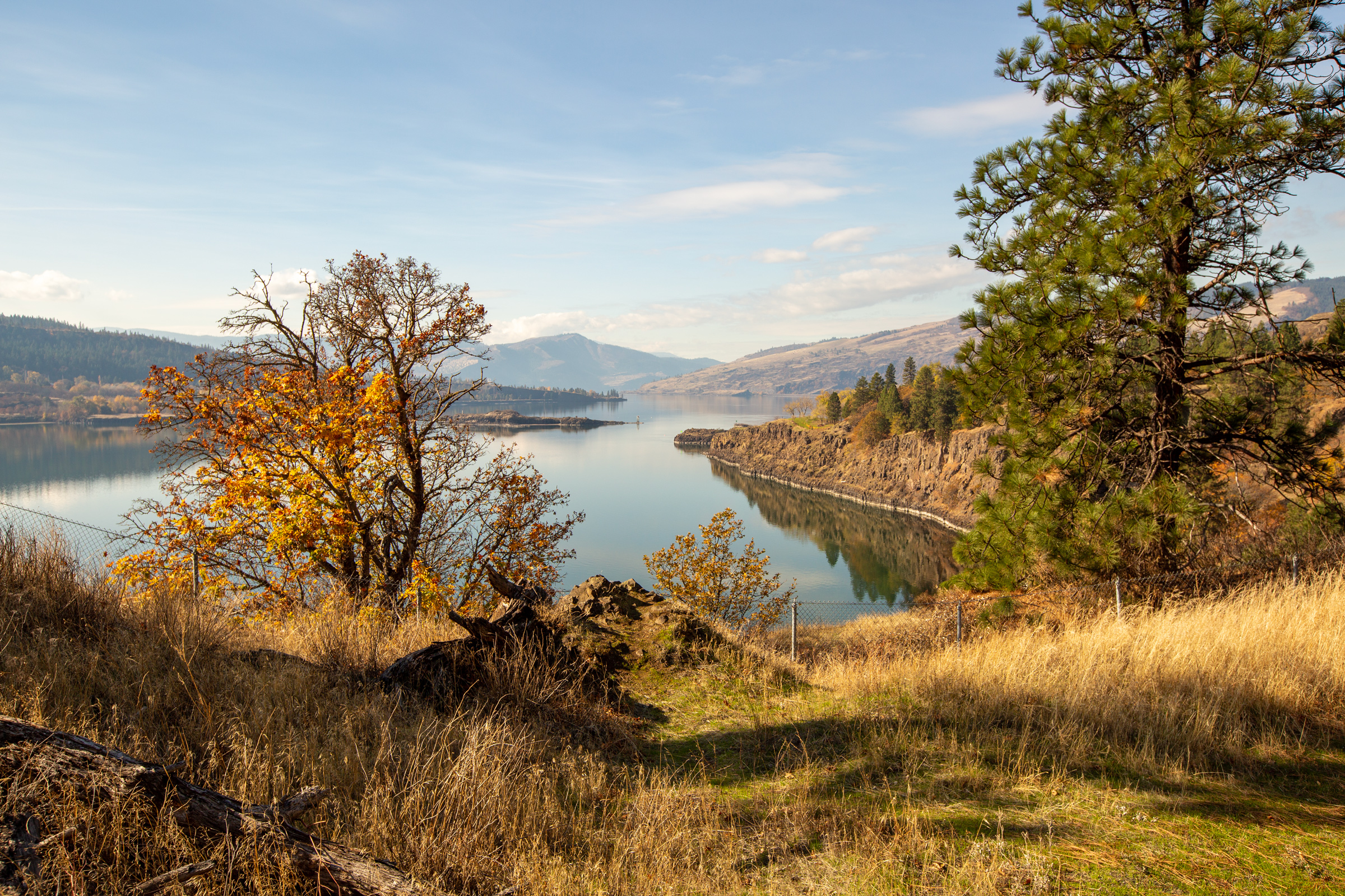
Snake River to Stonehenge
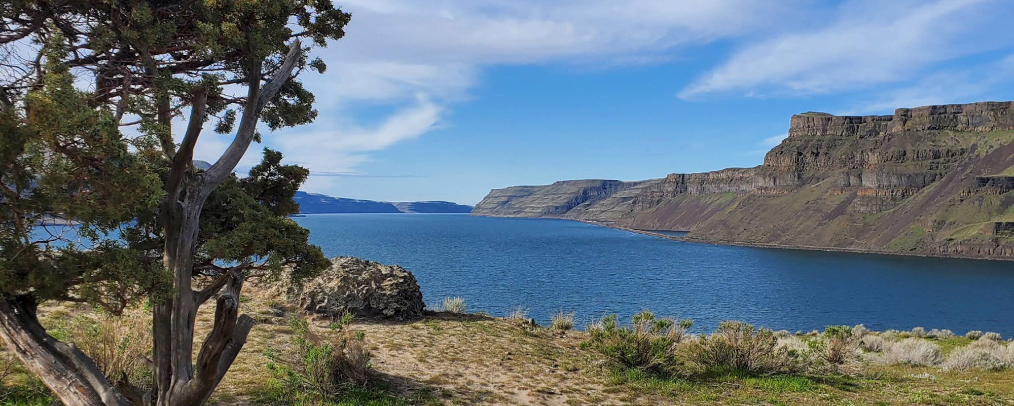
This trip follows the Lewis and Clark Expedition down the Columbia from the mouth of the Snake River to Maryhill. William Clark’s journal barely hints at the excitement they must have felt paddling for the first time on the Columbia…
Stops: 7
Distance: 209 miles
The Washington Side
Ignore the traffic and crowds on the Oregon side of “The Gorge” and instead, follow the quieter, two-lane “Lewis and Clark Highway” (WA State Highway 14) on the Washington side of the Columbia Gorge National Scenic Area. Stop at viewpoints,…
Stops: 7
Distance: 87 miles
The Oregon Side
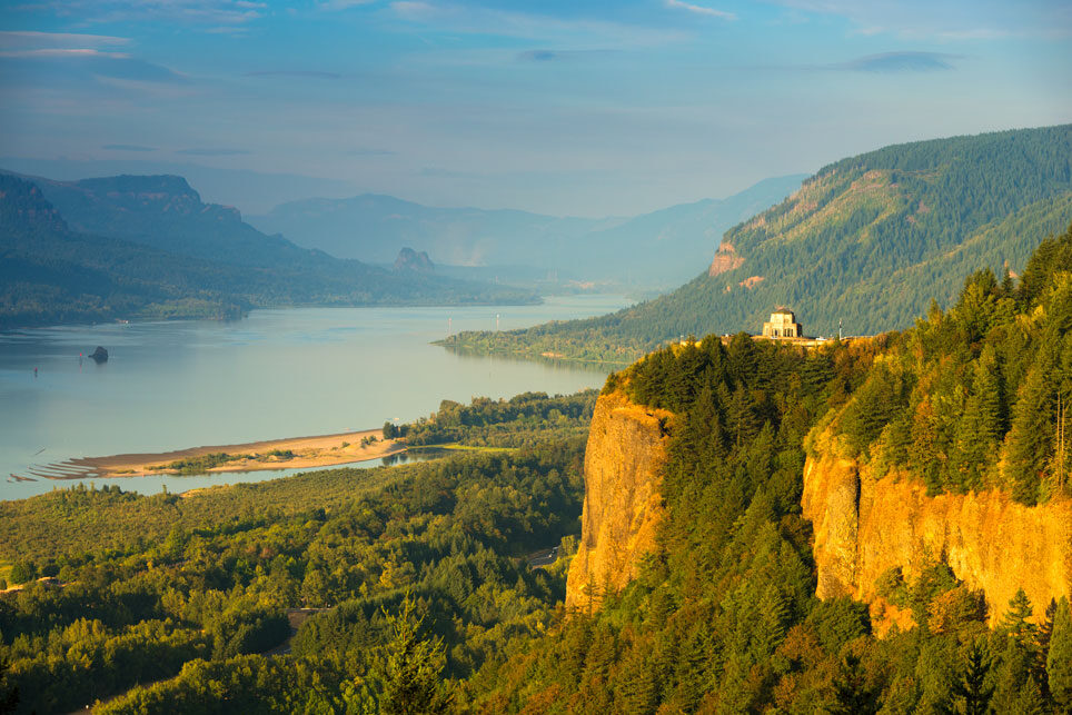
This trip offers iconic views of the Columbia River Gorge, a lifetime of epic day hikes, numerous waterfalls, the wind surfing vibe of Hood River, a classic discovery center, and Fort Rock—a Lewis and Clark campsite in The Dalles. NOTE:…
Stops: 7
Distance: 88 miles
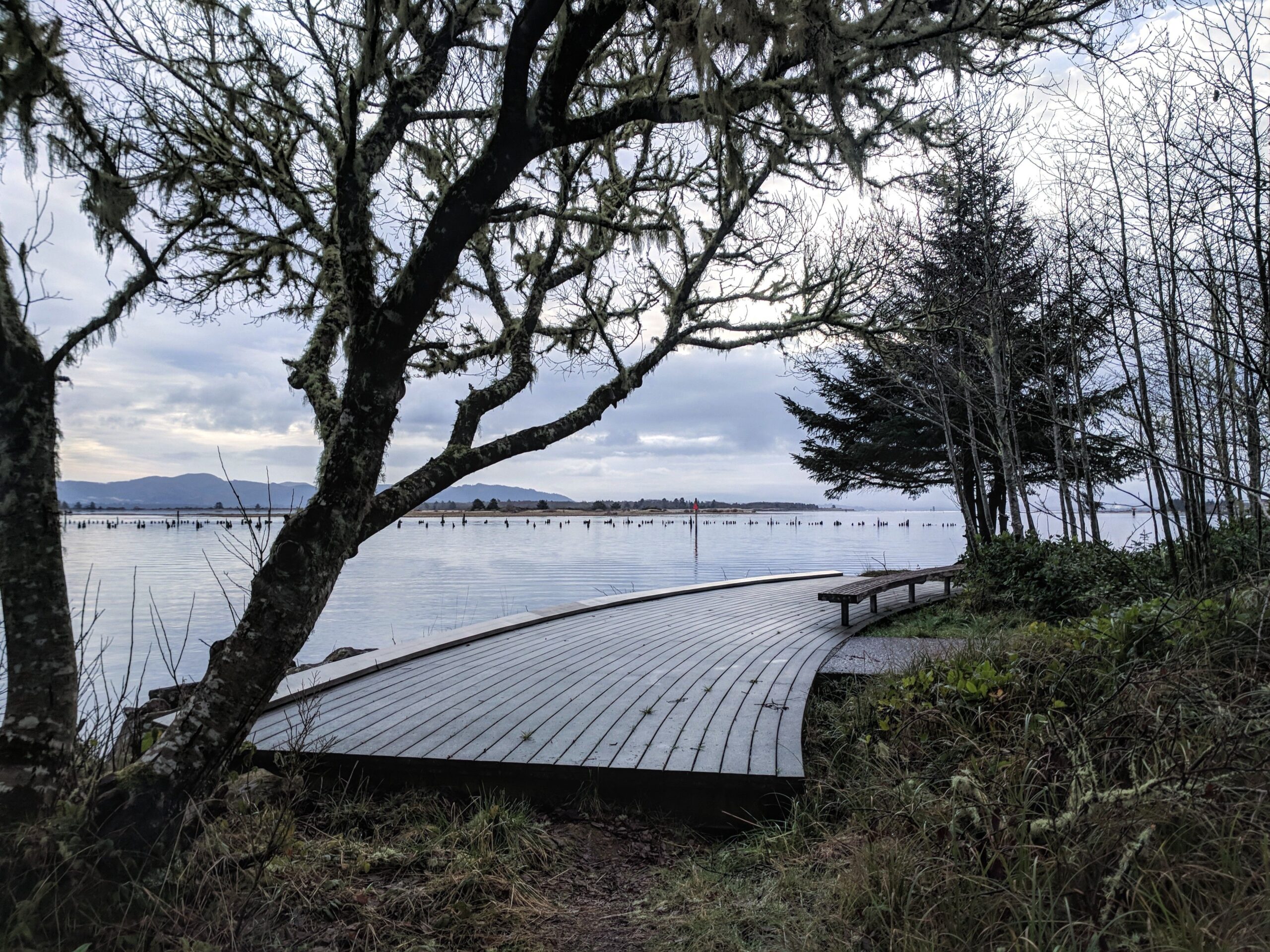
Among the Chinook
When the Lewis and Clark Expedition ventured into the present Vancouver-Portland region, they were entering the homelands of the Middle and Lower Chinook. This trip takes you to many of their villages along the Washington side of the Columbia River.…
Stops: 9
Distance: 138 miles
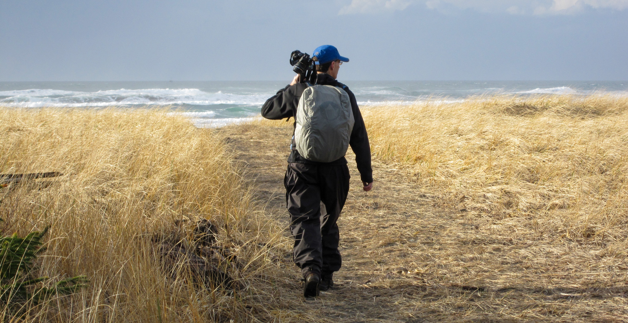
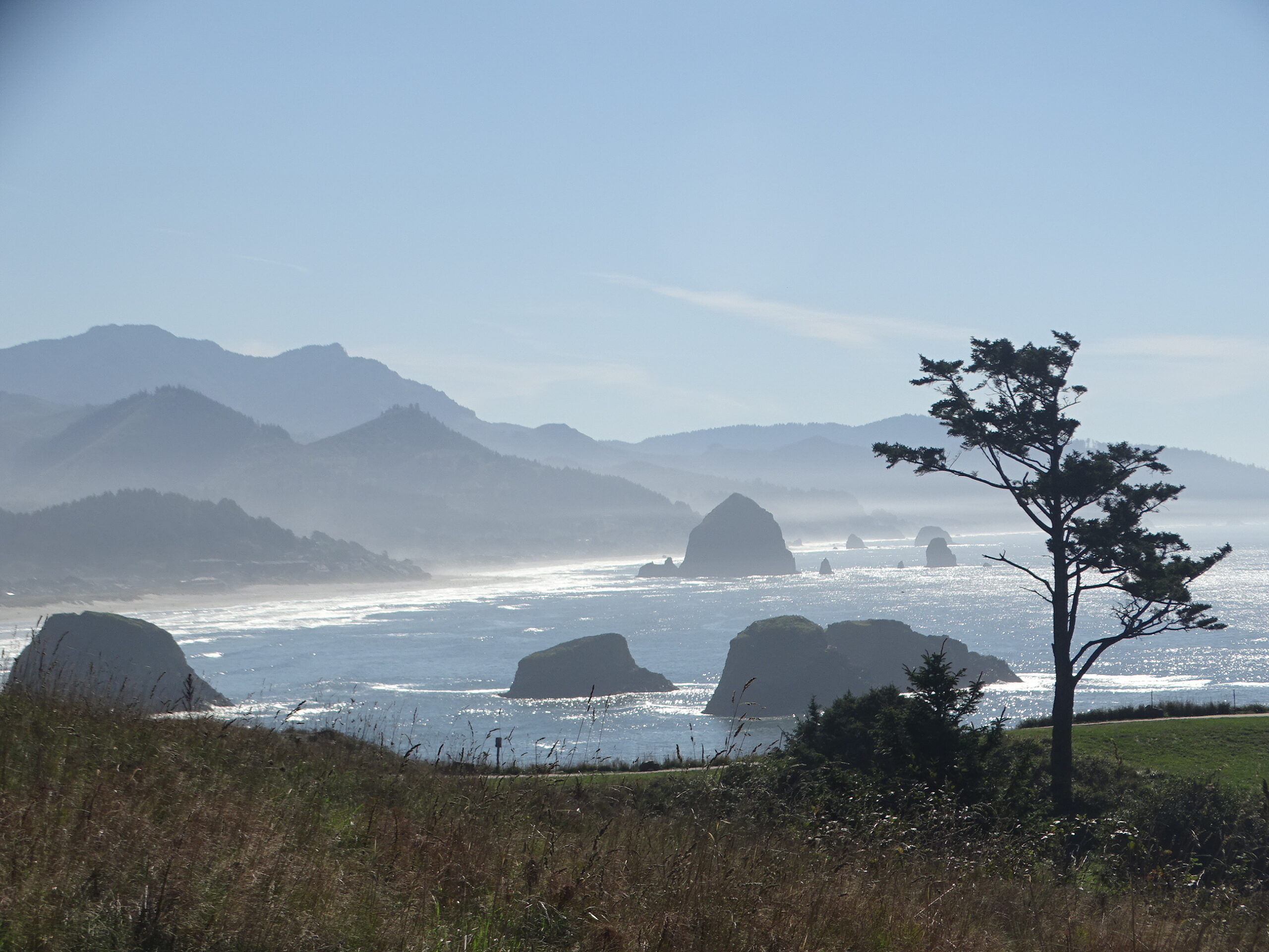
Sacagawea's Day at the Beach
After a month at their Fort Clatsop winter quarters, Sacagawea had still not seen the Pacific Ocean. This would soon change: “Capt Clark set out after an early breakfast with the party in two canoes as had been concerted the…
Stops: 7
Distance: 70 miles
Triumph over the Mountains
“the pleasure I now felt in having tryumphed over the rocky Mountains and decending once more to a level and fertile country where there was every rational hope of finding a comfortable subsistence for myself and party can be more…
Stops: 9
Distance: 112 miles
Walla Walla River to Clarkston (1806 Return)
On April 27, 1806, while encamped at Chief Yellepit’s Village across from the mouth of the Walla Walla River, the captains received welcome information. There was a “good road” between there and the Clearwater River at present Clarkston, Washington. Lewis…
Stops: 9
Distance: 129 miles
Lewiston to Long Camp
On Lewis and Clark’s return trip in May 1806, the captains were determined to collect the horses and saddles that they had left in the care of Twisted Hair. They headed up the Clearwater River accompanied by several helpful Nez…
Stops: 10
Distance: 100 miles
Up the Blackfoot River
Traveling up the Blackfoot River and crossing the Great Divide at what is known today as Lewis and Clark Pass, Lewis seemed ebullient. Over 200 years later, each wonder described in his journals unfolds mile-by-mile as the traveler drives Montana…
Stops: 6
Distance: 180 miles
Clark's 1806 Return
Departing Traveler’s Rest on July 3, 1806, Lewis headed north and east toward the Sun River, eventually rejoining the Missouri at today’s Great Falls. Meanwhile, Clark’s objective was to explore the Yellowstone River. This journey traces his southern route through…
Stops: 7
Distance: 113 miles
Clark's 1806 Return
July 13, 1806 at the headwaters of the Missouri, Sgt. Ordway and nine others head down the Missouri in the dugout canoes. Clark and those remaining in his group head up the Gallatin River valley on horses. Sacagawea recommends they head to present Bozeman Pass. Clark is heading…
Stops: 5
Distance: 172 miles
Reunion
Follow in the footsteps of William Clark’s 1806 return journey as he led his detachment down the Yellowstone River, with hopes to reunite with Lewis at the confluence of the Yellowstone and Missouri Rivers. Begin in Billings, where you can…
Stops: 6
Distance: 327 miles
In the Footsteps of Meriwether Lewis
Walk in the footsteps of Meriwether Lewis as he bought supplies for the expedition in 1803. At the same time, experience the birth of the United States at key places in the Independence National Historic Park. The trip by foot…
Stops: 10
Distance: 2 miles
Falls of the Ohio
Explore the Falls of the Ohio, a key site in the Lewis and Clark story along the Ohio River near Louisville. Walk in the footsteps of Meriwether Lewis, William and his brother George Rogers Clark while discovering the fossil beds…
Stops: 7
Distance: 22 miles
Gateway to the West
St. Louis played a pivotal role in America’s westward expansion, a legacy embodied by the iconic Gateway Arch National Park. But there’s much more to explore beyond the Arch and a storied baseball tradition. Stand where the Missouri River meets…
Stops: 9
Distance: 113 miles
South Tour Loop
After leaving their first winter encampment at Camp Dubois across from St. Louis, Missouri on May 14, 1804, the Corps of Discovery under the direction of US Army Captains Meriwether Lewis and William Clark made their way slowly but surely…
Stops: 5
Distance: 33 miles
North Tour Loop
After leaving their first winter encampment at Camp Dubois across from St. Louis, Missouri on May 14, 1804, the Corps of Discovery under the direction of US Army Captains Meriwether Lewis and William Clark made their way slowly but surely…
Stops: 8
Distance: 161 miles
Portage Route
On June 13, 1805, Capt. Meriwether Lewis encountered the Great Falls of the Missouri and knew that the left branch at Decision Point was the true Missouri River. Further exploration revealed that a total of five waterfalls in the area…
Stops: 9
Distance: 47 miles
Tsceminicum
The confluence of the Clearwater and Snake Rivers was an important geographic point passed by the Lewis and Clark Expedition in the fall of 1805. The Snake appeared on William Clark’s resulting map as Lewis’s River. The native Nez Perce…
Stops: 8
Distance: 22 miles
City of Roses
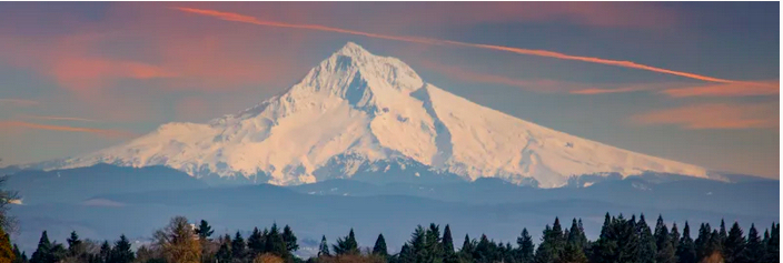
The Lewis & Clark Expedition did not tarry long in what is today the city of Portland, Oregon, but you can see there a unique artifact once owned by Meriwether Lewis, view some interpretation of the Expedition, use the City…
Stops: 7
Distance: 81 miles
Sacagawea's Day at the Beach
After a month at their Fort Clatsop winter quarters, Sacagawea had still not seen the Pacific Ocean. This would soon change: “Capt Clark set out after an early breakfast with the party in two canoes as had been concerted the…
Stops: 7
Distance: 70 miles
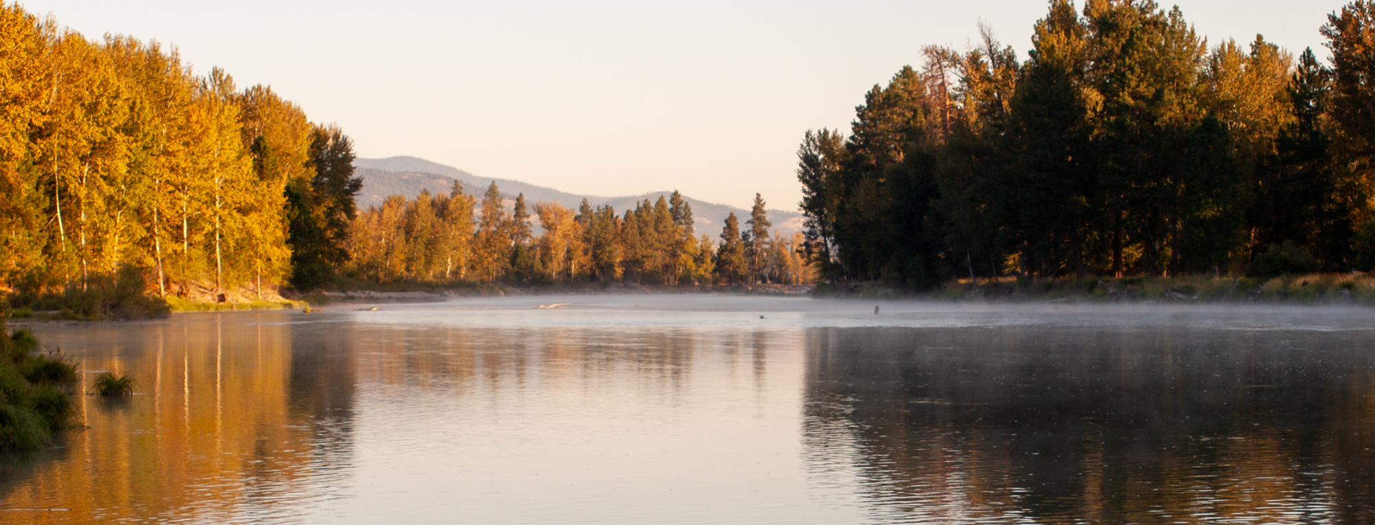
Along the Natchez Trace
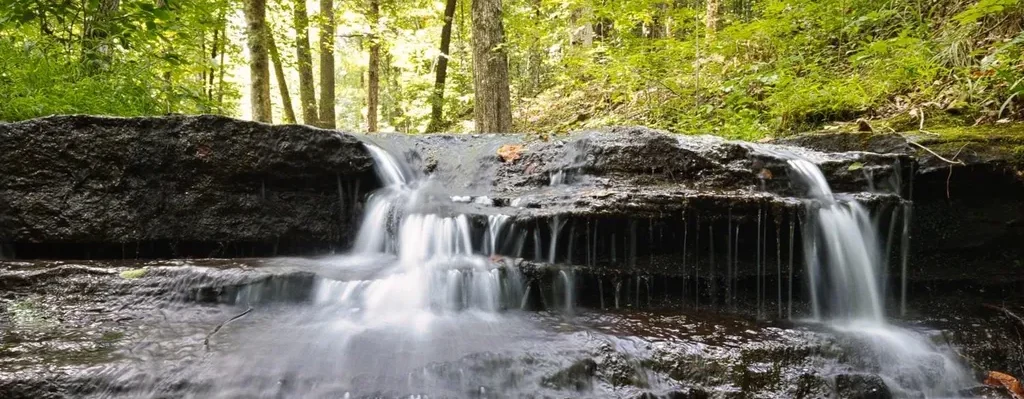
Hohenwald, meaning “High Forest” in German, is a picturesque town that serves as the county seat of Lewis County, Tennessee. This town, along with its surrounding area, plays a significant role in the Lewis and Clark story, as it is…
Stops: 6
Distance: 72 miles
Sacramento to Danner
This trip allows you to visit two resting places of Expedition members. Alexander Hamilton Willard, buried in Elk Grove, California and Jean Baptiste Charbonneau near Danner, Oregon. The drive will take you through Auburn, California, where Jean Baptiste resided for…
Stops: 7
Distance: 554 miles
Tsceminicum
The confluence of the Clearwater and Snake Rivers was an important geographic point passed by the Lewis and Clark Expedition in the fall of 1805. The Snake appeared on William Clark’s resulting map as Lewis’s River. The native Nez Perce…
Stops: 8
Distance: 22 miles
Cape Dissapointment to Pasco
With the Bicentennial of Lewis & Clark and the Corps of Discovery on the horizon, cultural leaders throughout the Columbia Basin contemplated separate public art projects in their various locations. Starting in the year 1999, a gradual consensus formed to…
Stops: 12
Distance: 464 miles
Portland, Oregon to the Pacific Coast
The Lewis & Clark Expedition disproved the existence of an easy, river-based Northwest Passage through the middle latitudes of North America. In the decades to follow, the Oregon Trail, the Pony Express, and various stagecoach routes allowed for difficult, dangerous,…
Stops: 8
Distance: 107 miles
North Dakota
The Lewis & Clark Expedition disproved the existence of an easy, river-based Northwest Passage through the middle latitudes of North America. In the decades to follow, the Oregon Trail, the Pony Express, and various stagecoach routes allowed for difficult, dangerous,…
Stops: 8
Distance: 343 miles
Eastern Montana
The Lewis & Clark Expedition disproved the existence of an easy, river-based Northwest Passage through the middle latitudes of North America. In the decades to follow, the Oregon Trail, the Pony Express, and various stagecoach routes allowed for difficult, dangerous,…
Stops: 5
Distance: 451 miles
White Cliffs
The Lewis and Clark Expedition left Fort Mandan on April 7, 1805. On that date, Meriwether Lewis penned in his journal (spelling in the orginal): “Our vessels consisted of six small canoes, and two large perogues. This little fleet altho’…
Stops: 11
Distance: 147 miles
North Central Montana
The Lewis & Clark Expedition disproved the existence of an easy, river-based Northwest Passage through the middle latitudes of North America. In the decades to follow, the Oregon Trail, the Pony Express, and various stagecoach routes allowed for difficult, dangerous,…
Stops: 4
Distance: 91 miles
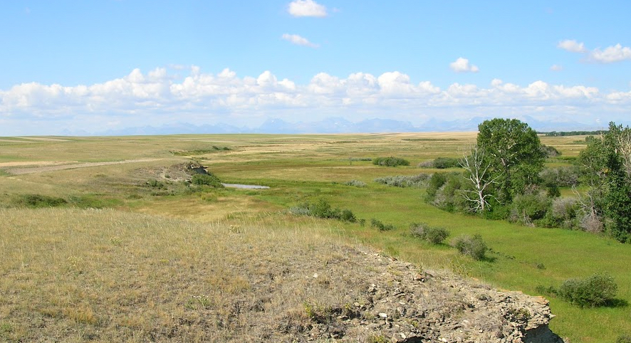
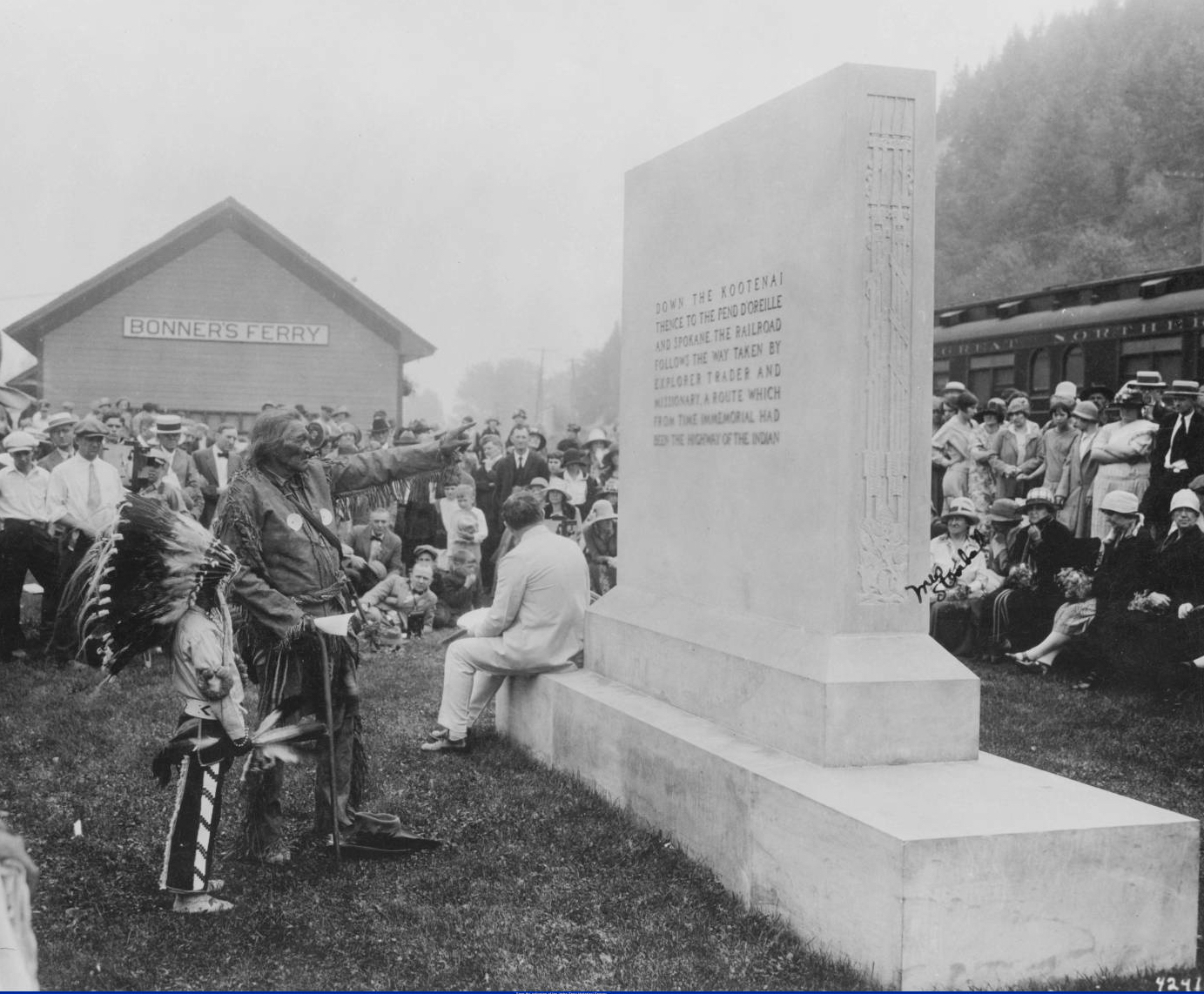
Western Montana and Northern Idaho
The Lewis & Clark Expedition disproved the existence of an easy, river-based Northwest Passage through the middle latitudes of North America. In the decades to follow, the Oregon Trail, the Pony Express, and various stagecoach routes allowed for difficult, dangerous,…
Stops: 6
Distance: 282 miles
Northern Idaho and Eastern Washington
The Lewis & Clark Expedition disproved the existence of an easy, river-based Northwest Passage through the middle latitudes of North America. In the decades to follow, the Oregon Trail, the Pony Express, and various stagecoach routes allowed for difficult, dangerous,…
Stops: 8
Distance: 351 miles
Washington and Oregon to Portland
The Lewis & Clark Expedition disproved the existence of an easy, river-based Northwest Passage through the middle latitudes of North America. In the decades to follow, the Oregon Trail, the Pony Express, and various stagecoach routes allowed for difficult, dangerous,…
Stops: 9
Distance: 134 miles
Portland, Oregon to the Pacific Coast
The Lewis & Clark Expedition disproved the existence of an easy, river-based Northwest Passage through the middle latitudes of North America. In the decades to follow, the Oregon Trail, the Pony Express, and various stagecoach routes allowed for difficult, dangerous,…
Stops: 8
Distance: 107 miles
Our bi-weekly newsletter provides news, history, and information for those interested in traveling along along the Lewis & Clark Trail.


