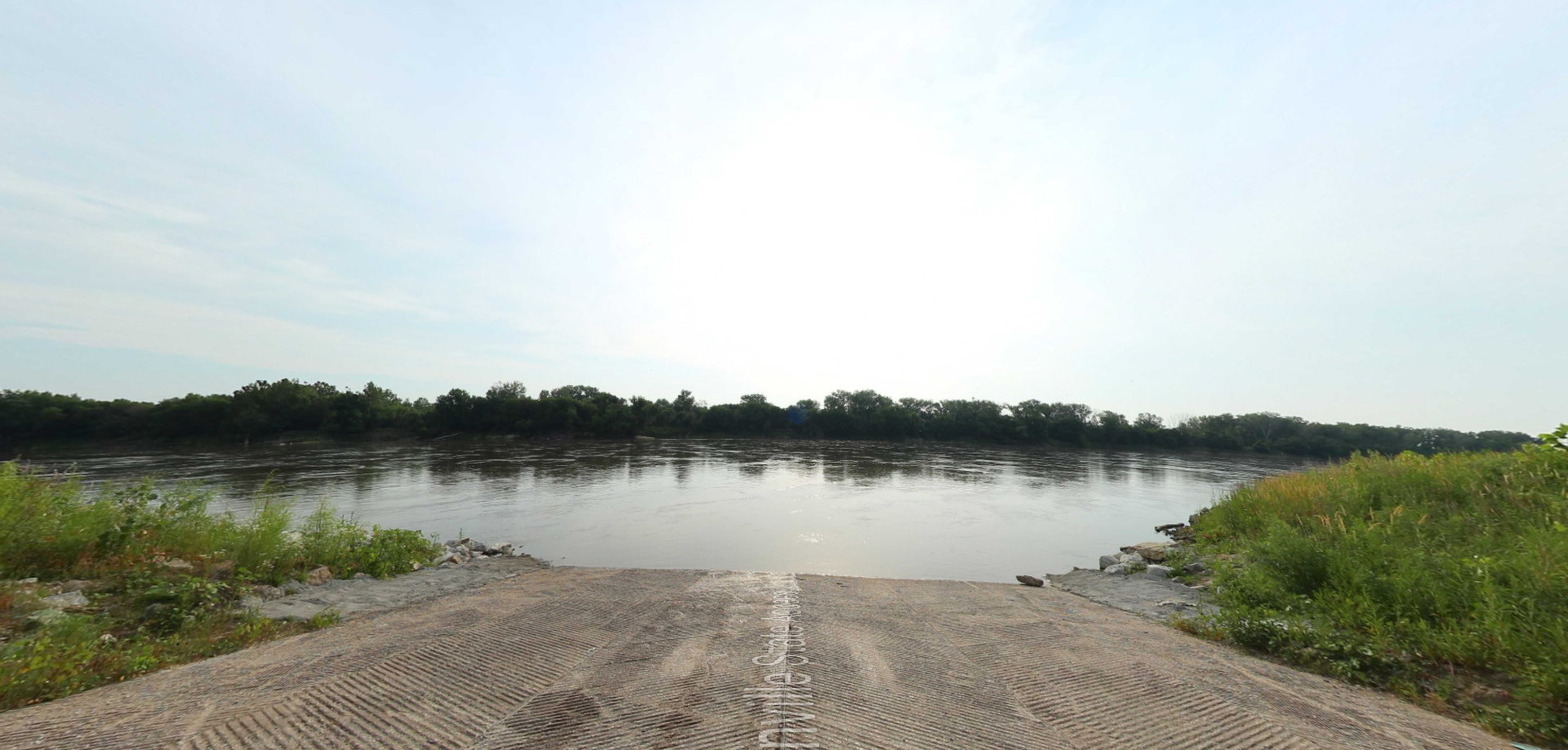
On July 22, 1804, the expedition made camp at a site approximately ten miles upstream of the Platte confluence, on the east side of the Missouri River. One of the men caught what was likely a channel catfish, which inspired the encampment’s name – White Catfish Camp. They stayed until July 26, replenishing food, refitting equipment, and attempting to contact the Otoe and Pawnee tribes. Clark wrote, “This being a good Situation and much nearer the Otteaus town than the Mouth of the Platt, we concluded to delay at this place a few days and Send for Some of the Chiefs of that nation to let them Know of the Change of Government, The wishes of our Government to Cultivate friendship with them, the Objects of our journey and to present them with a flag and Some Small presents.” A party sent overland located an Otoe village near the confluence of the Elkhorn and Platte rivers but found it empty. The expedition again stayed at this camp during the return journey on September 8, 1806.
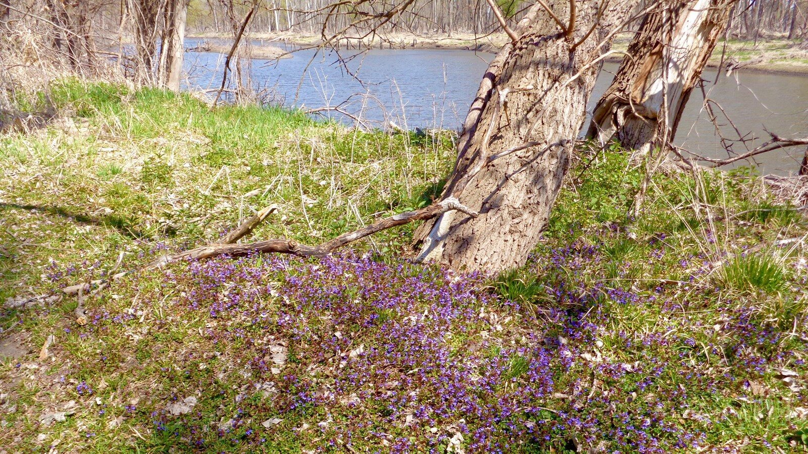
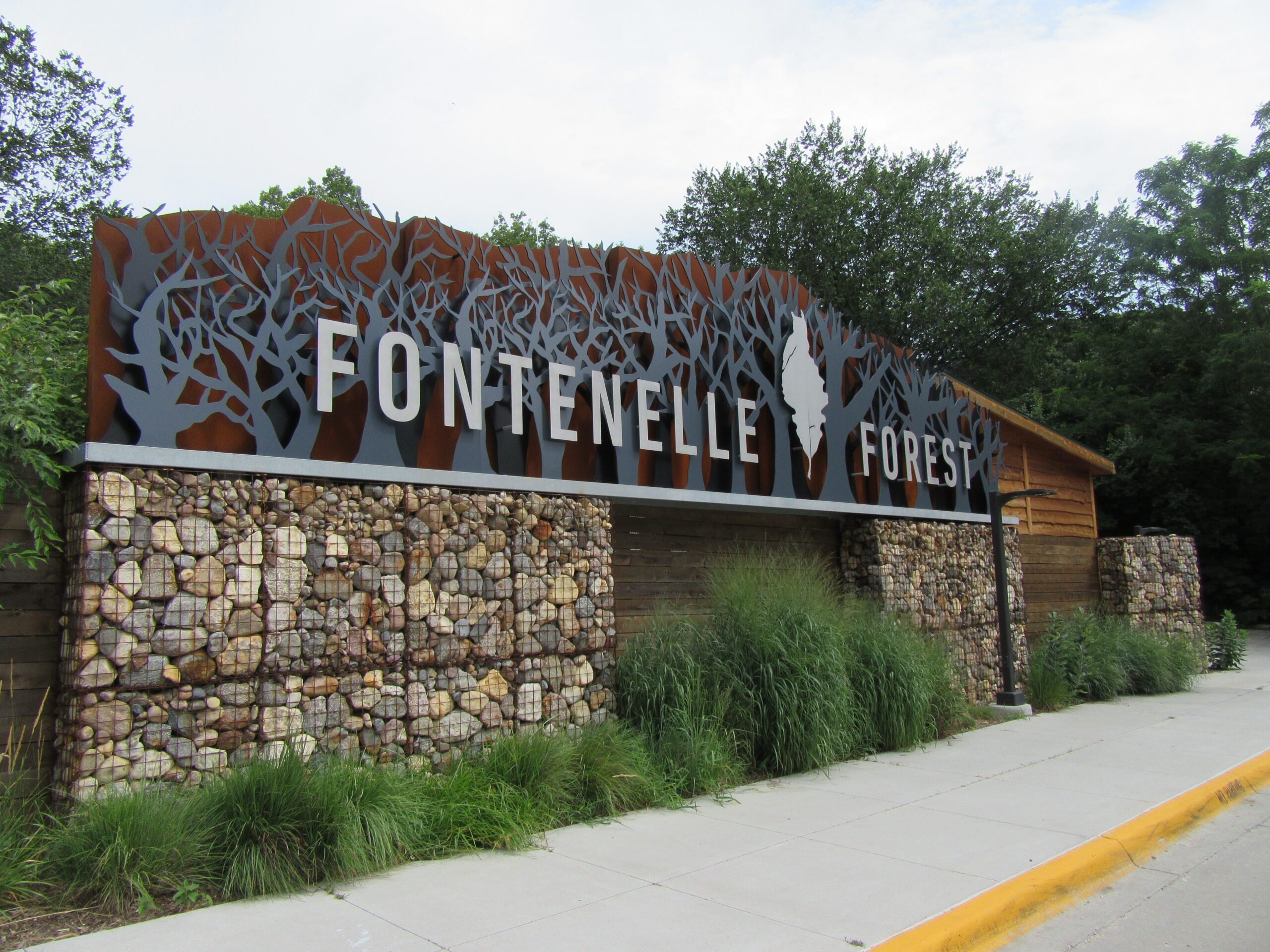
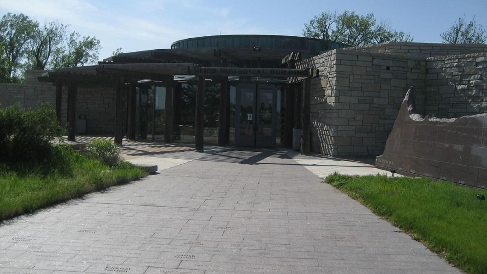
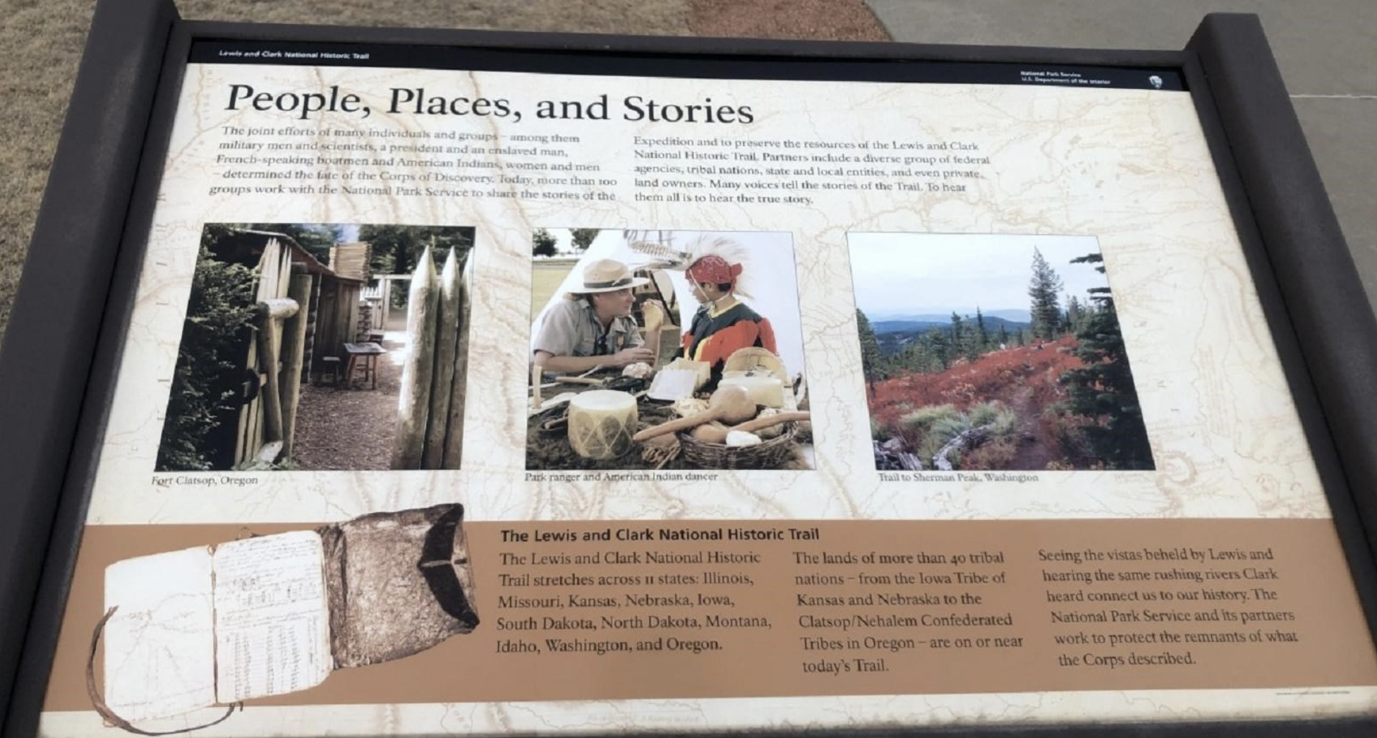
The exact location of White Catfish Camp is unknown. Although Lewis and Clark camped on what is now the Iowa side of Missouri, the site is now most likely submerged by the river channel. The Iowa side of the river is privately owned but on the Nebraska side Fontenelle Forest (a National Natural Landmark) provides public access via an excellent system of hiking trails that include Lewis and Clark interpretive wayside exhibits.