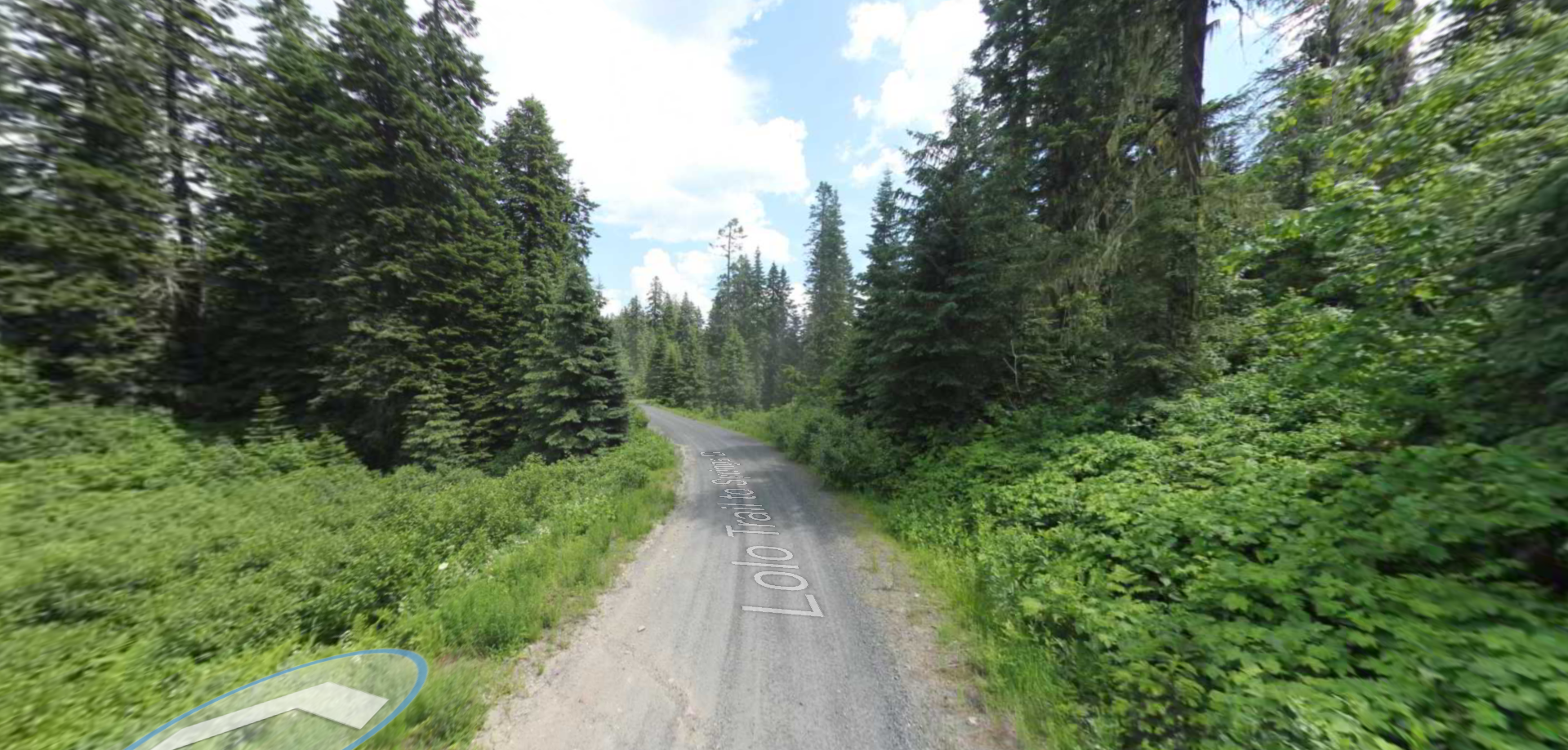
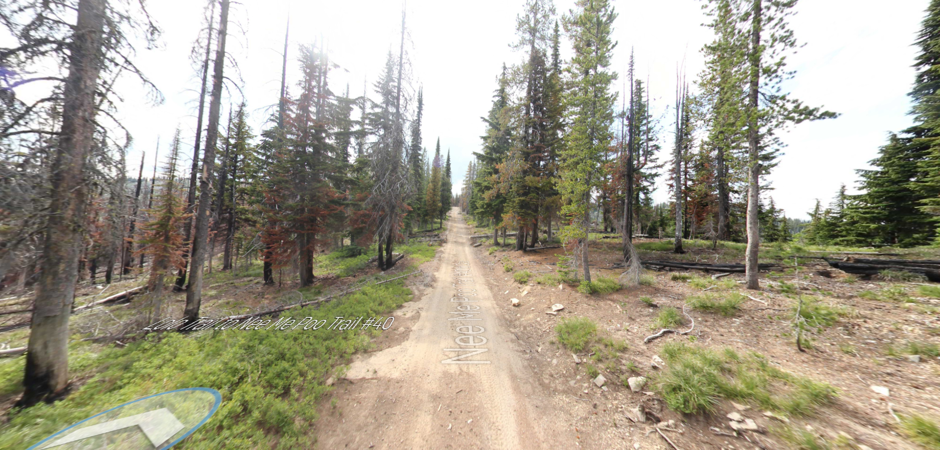
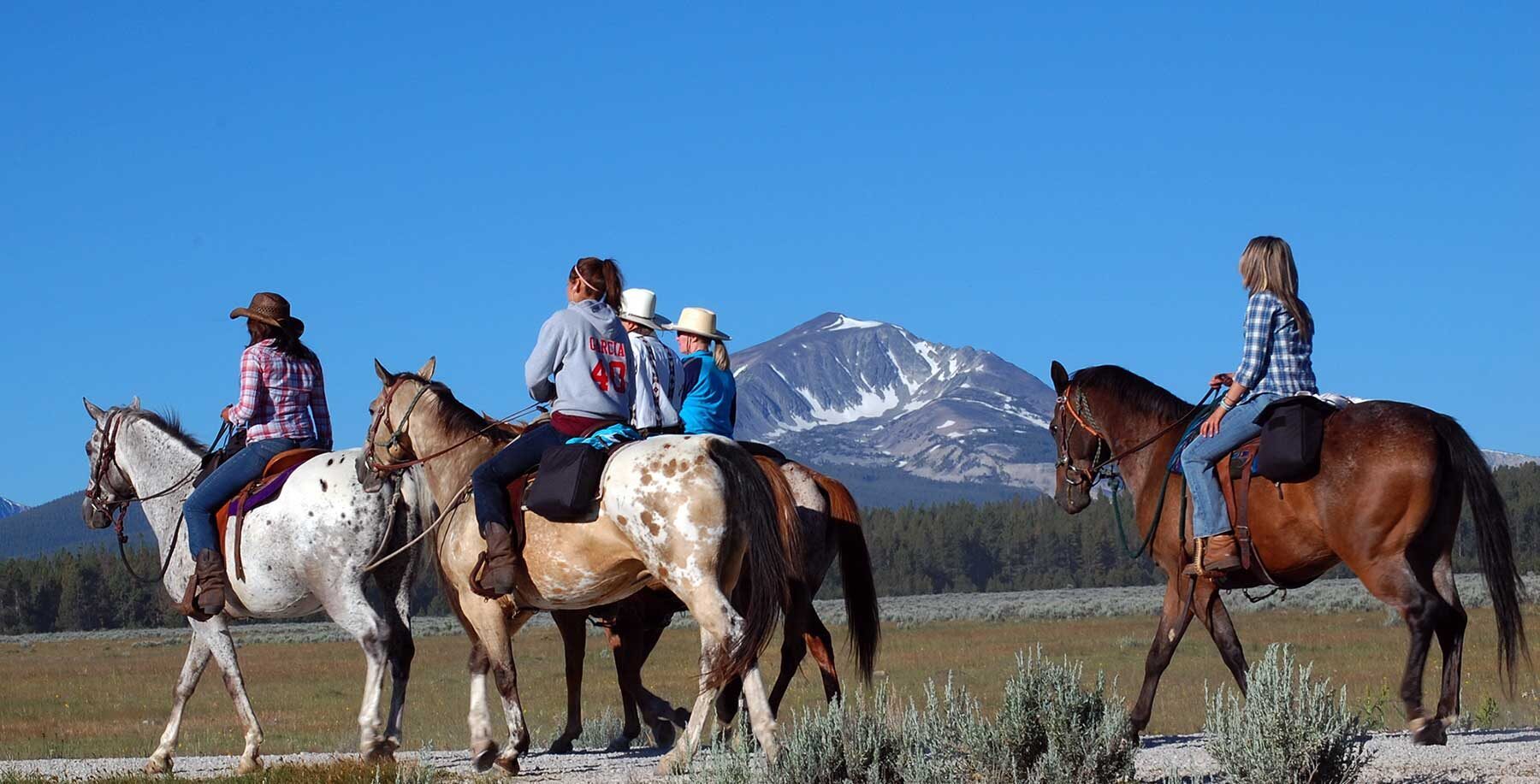
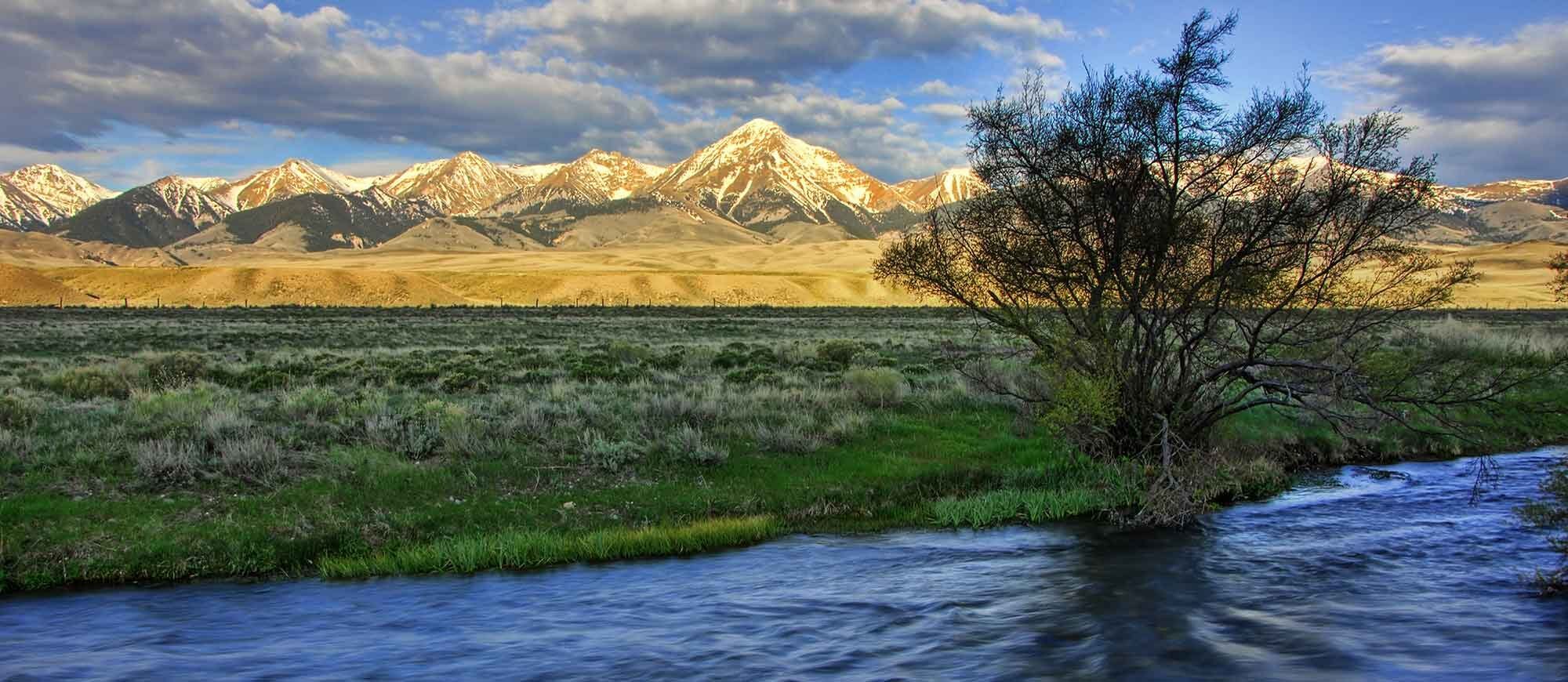
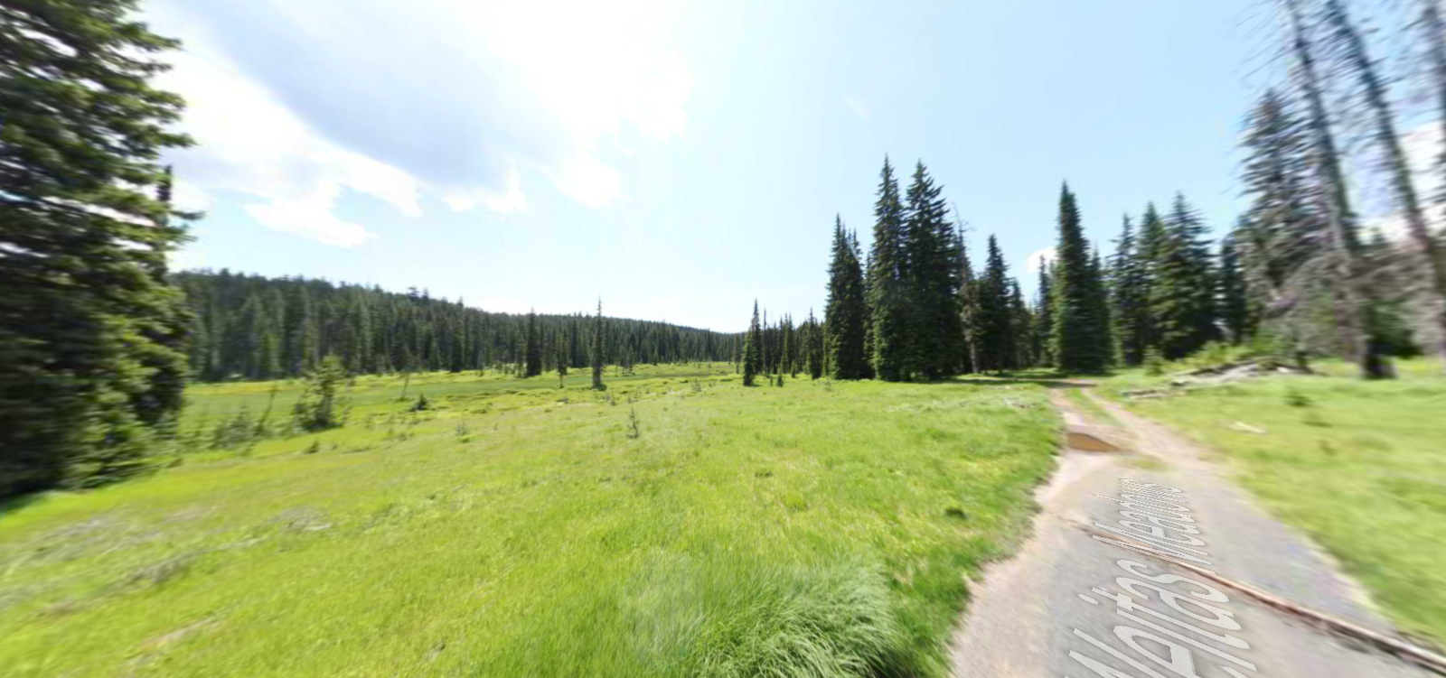
Weippe Prairie
On September 20, 1805, Clark and six others advanced from the Bitteroot Mountains into an expansive upland prairie occupied by two Nez Perce villages. Two days later, Lewis arrived with the main expedition. All were famished and exhausted. Lewis found himself “growing weak for the want of food and most of the men complain of a similar deficiency and have fallen off very much.” The Nez Perce generously welcomed and fed them meals of camas, dried salmon, and berries. Lewis and Clark reunited with the Nez Perce on May 3, 1806, during the return journey. Delayed by lingering winter in the mountains, they camped along the Clearwater River until June 10, then relocated to Weippe Prairie. On June 15, the expedition made its first attempt to cross the mountains, but found conditions to be impassable. They returned to Weippe Prairie on June 19 and remained another five days.
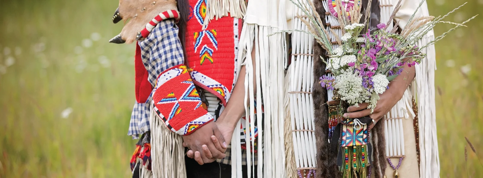
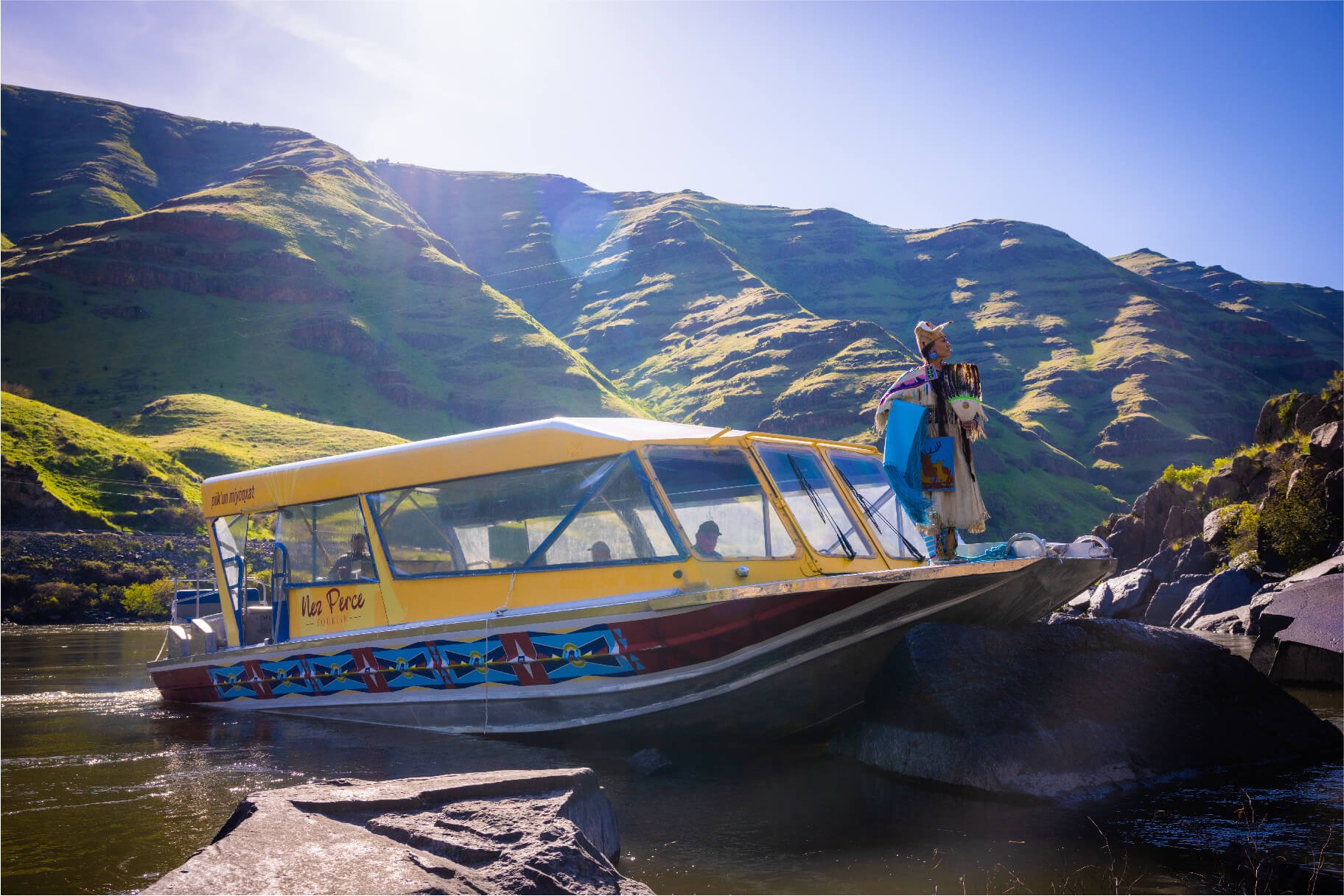
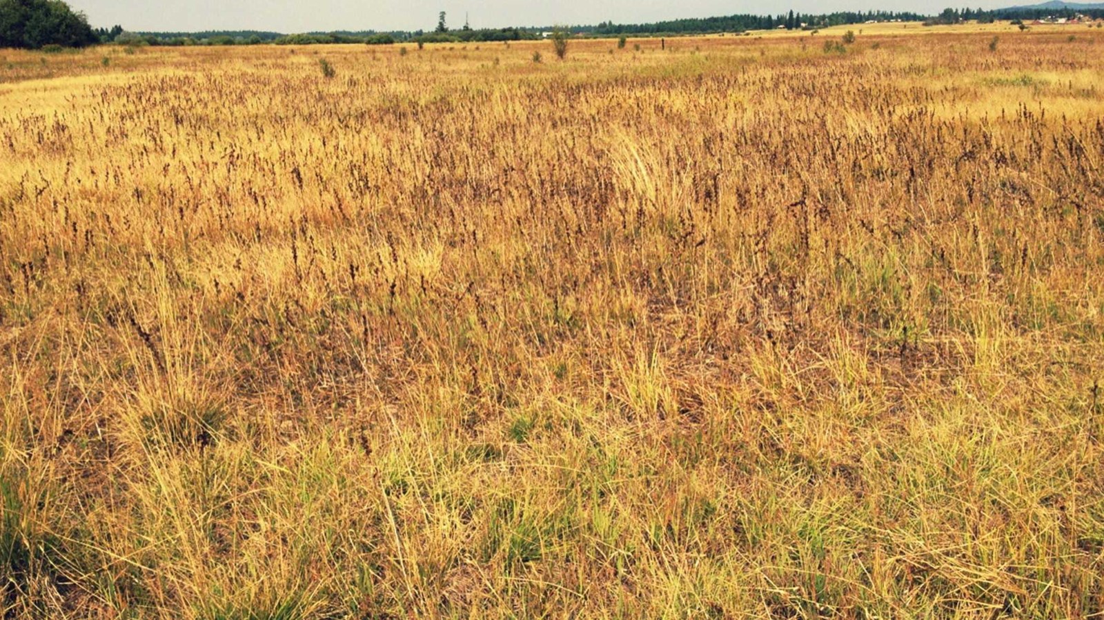
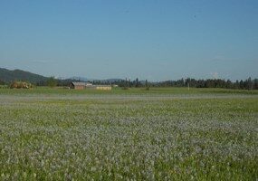
The Weippe Prairie is can’t miss for those traveling along the Lewis and Clark National Historic Trail. Exhausted and starving from their ongoing journey, it was at Weippe Prairie that the Nez Perce tribe welcomed the explorers and extended an olive branch and warm hospitality. In doing so, it forged bonds of respect and friendship. To this day, the Nez Perce tribe still gather to harvest camas bulbs (a flower that is a staple of their diet), to socialize, and to worship. Tourists can come to view the bloom of the camas flowers, and even gain permission to be a part of the harvest.
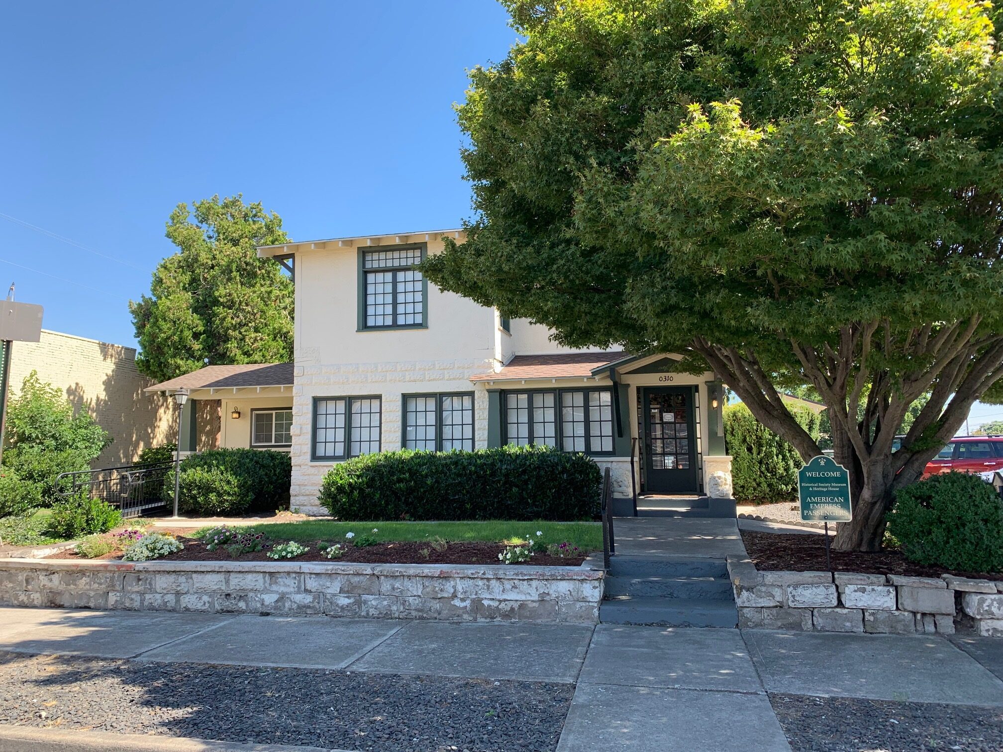
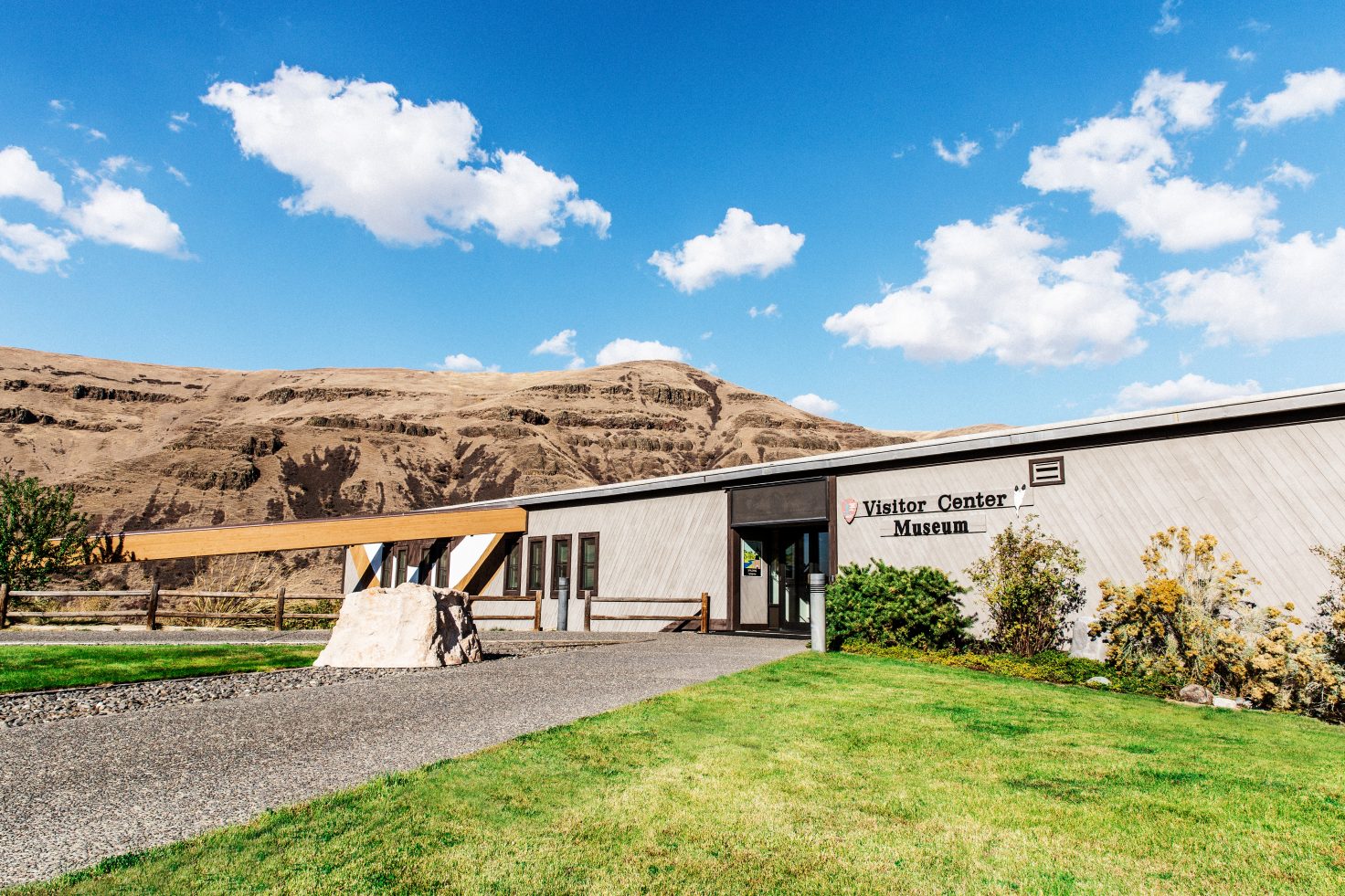
Don’t miss a visit to The Weippe Discovery Center, an interpretive facility that shares insight on the Lewis and Clark expedition and the time they spent in Idaho.
Distance Unit:
Distance Unit:
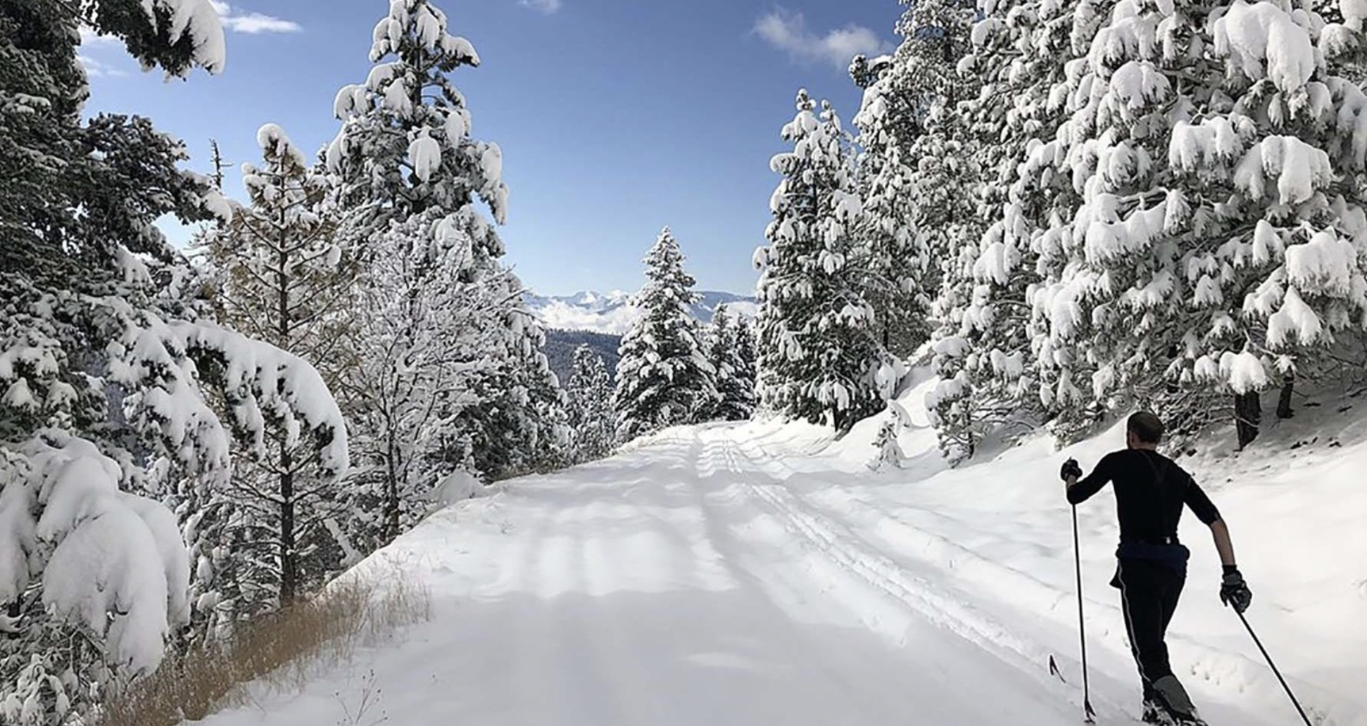
Tucked 35 miles northeast of Pierce, just off Forest Service Road 250, Weitas Campground offers a tranquil escape on the shaded banks of Weitas Creek near the North Fork of the Clearwater River. Accessible via…
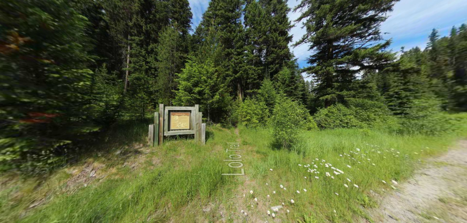
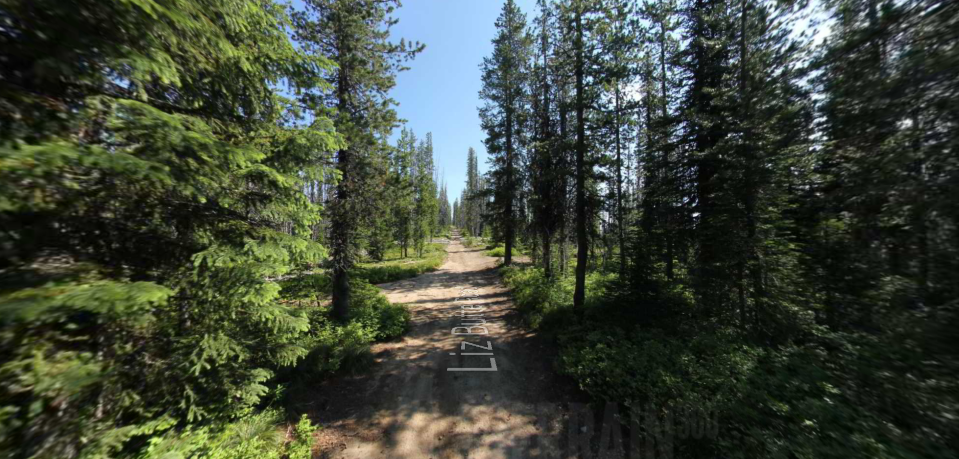
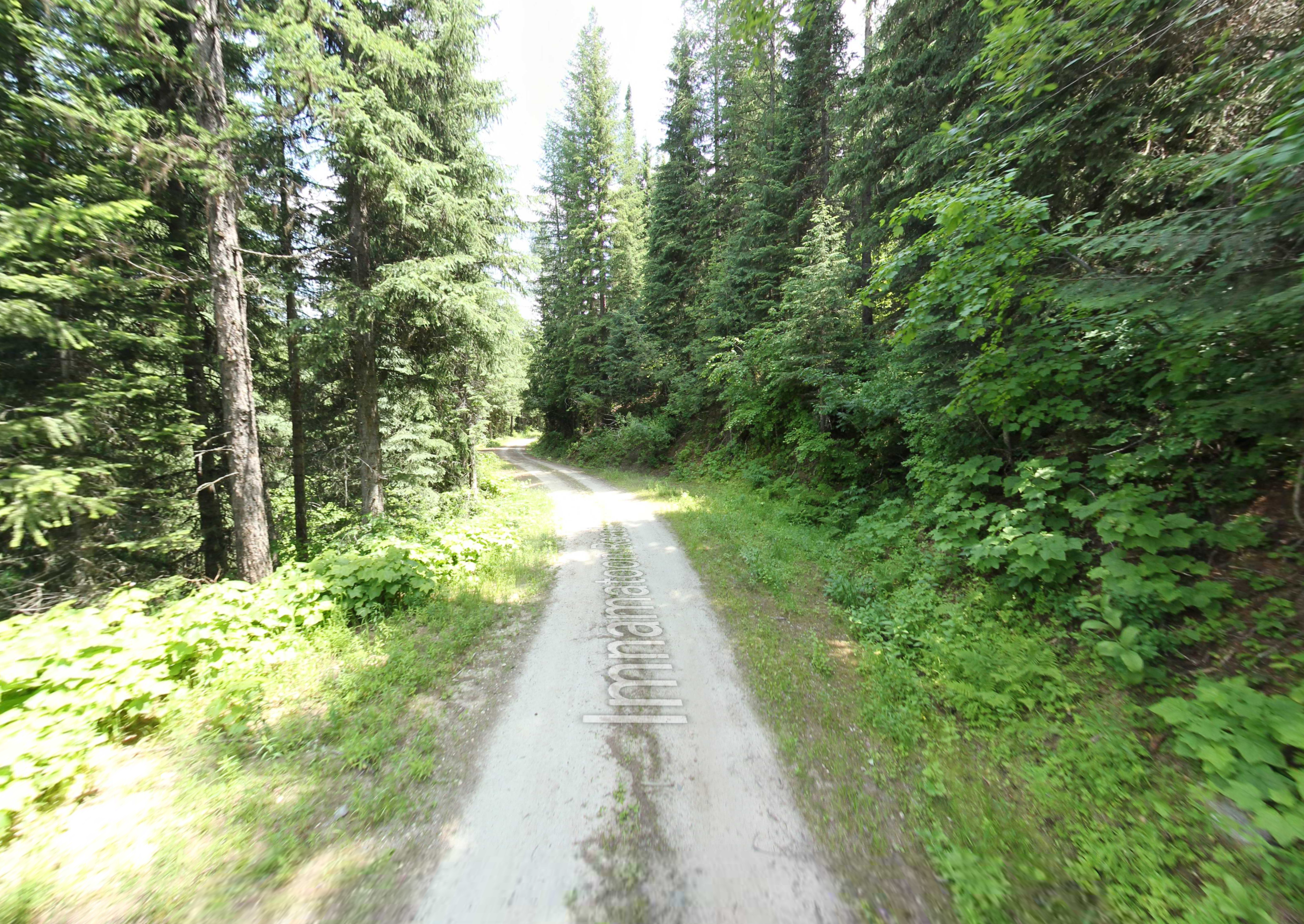
Embark on a historic trail dating back to August 9, 1805, when Lewis, accompanied by a scouting party, ventured away from the main group. Their mission: to discover a portage and establish contact with the…