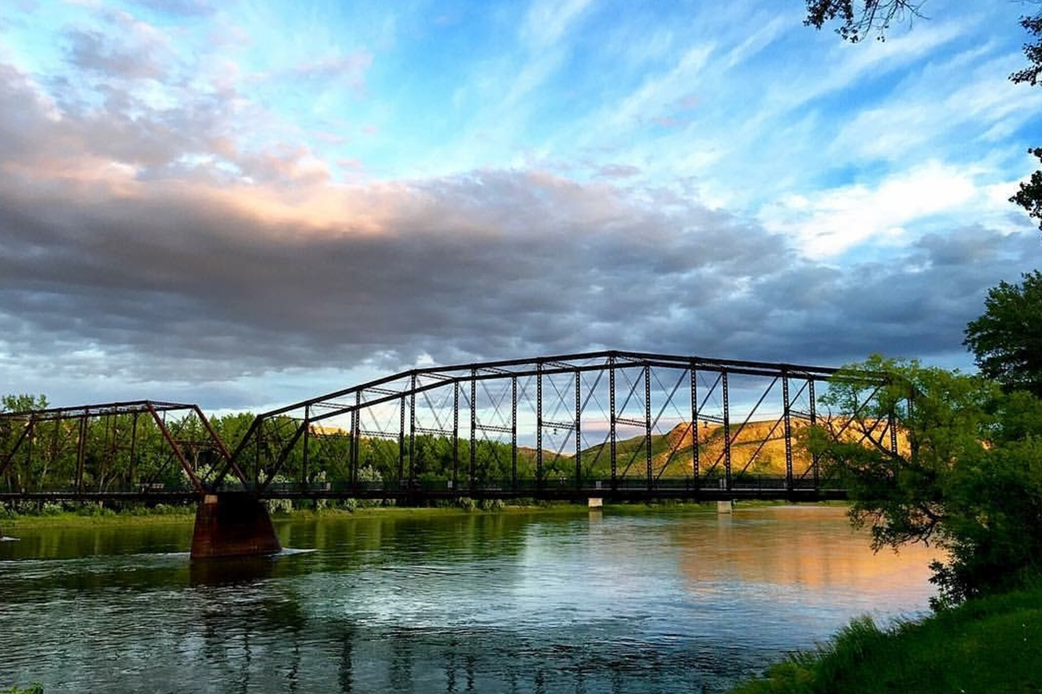
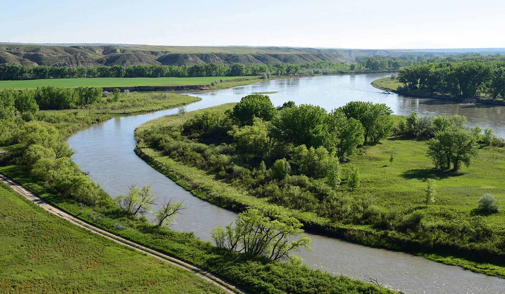
Upper Missouri National Wild and Scenic River
Guides and Tours
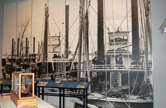
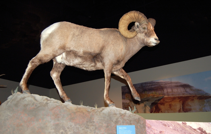
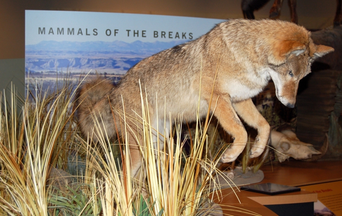
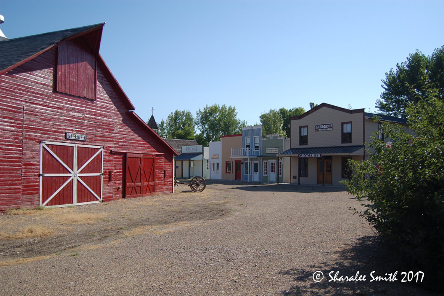
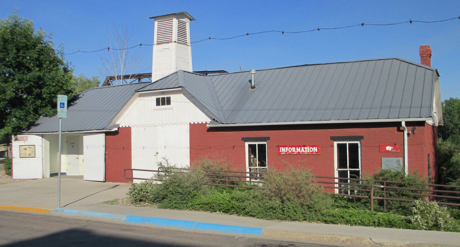
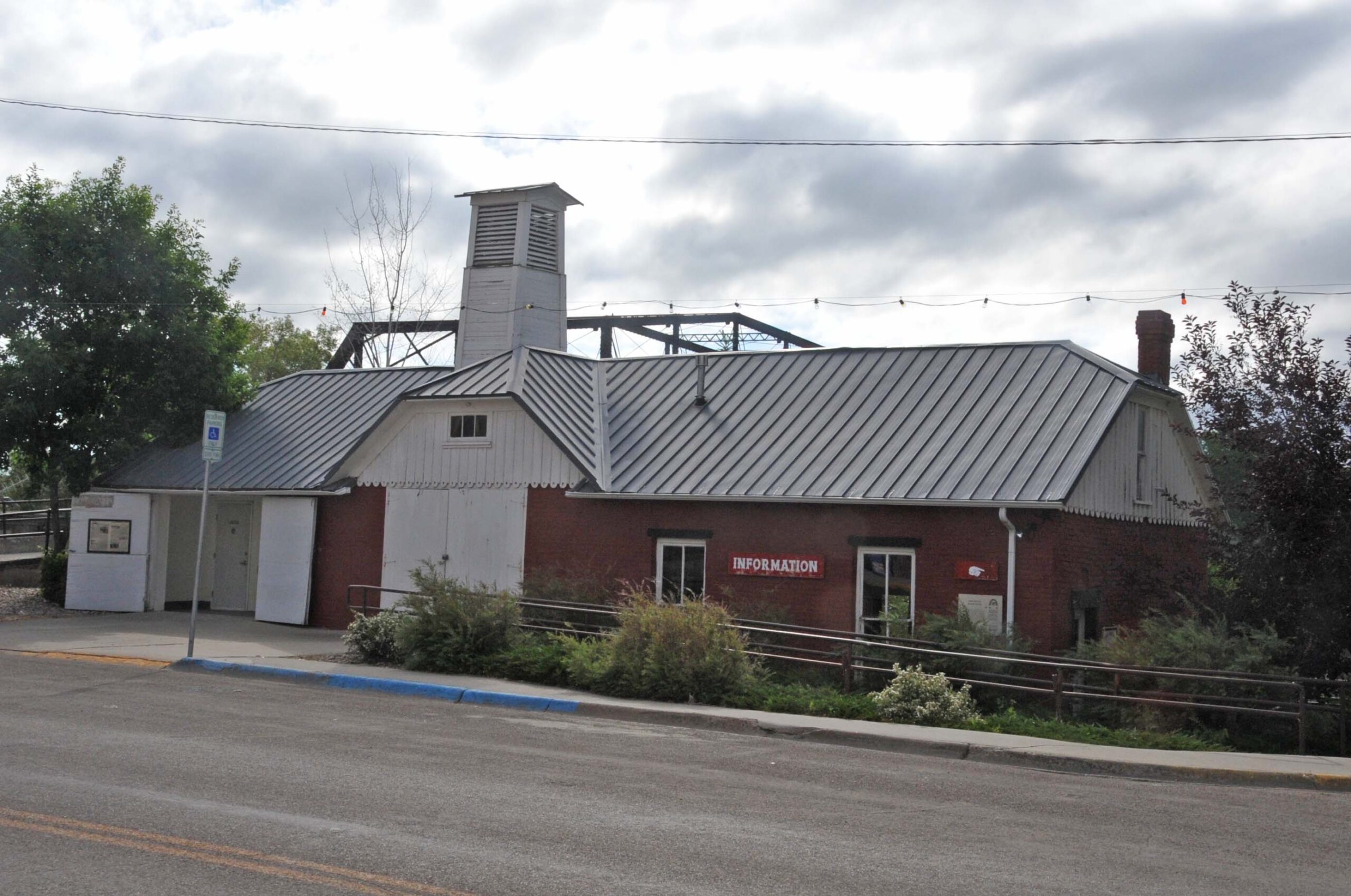
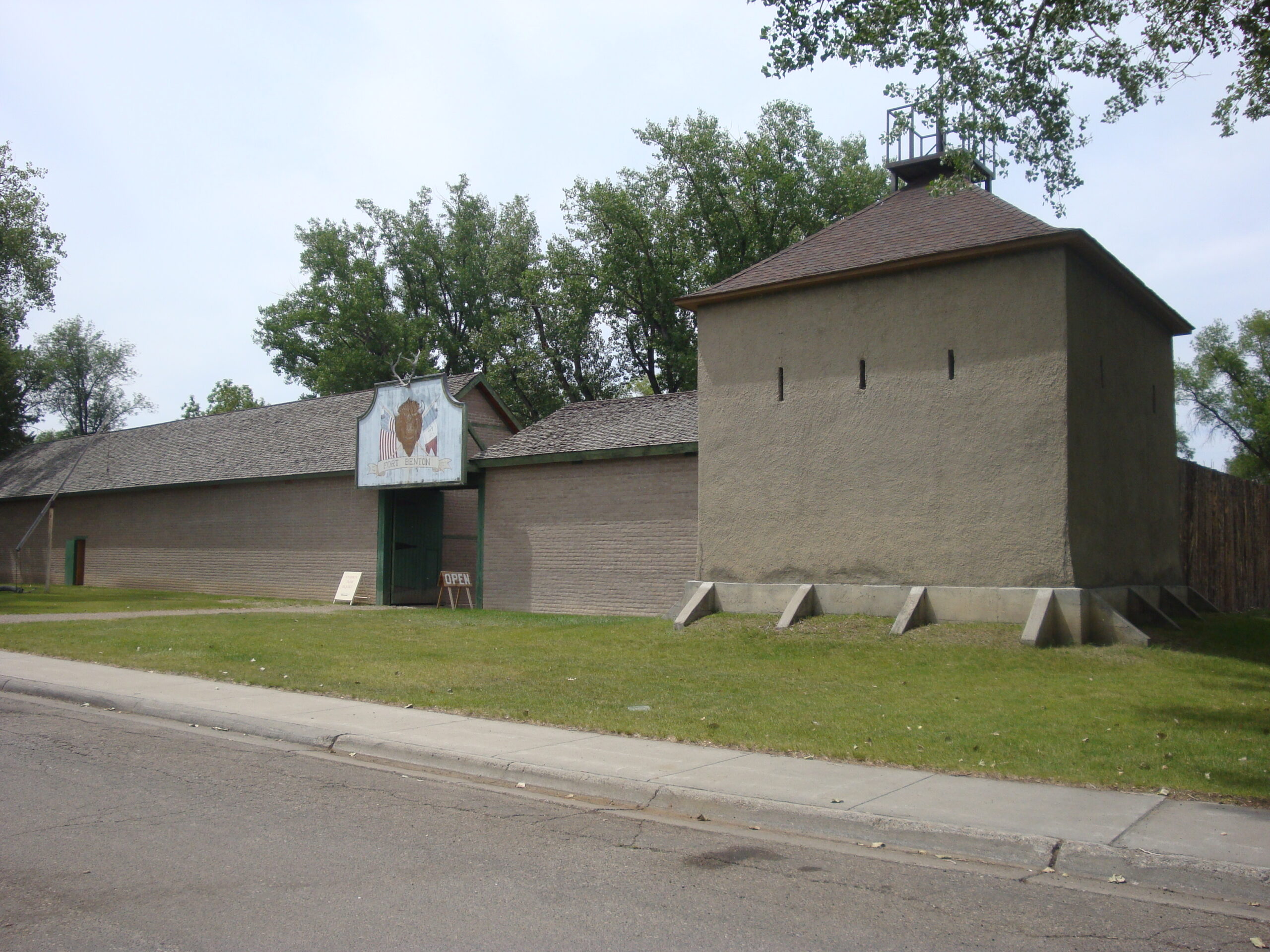
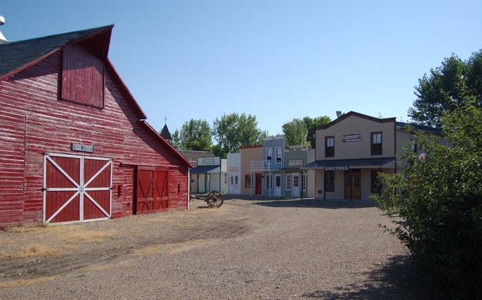
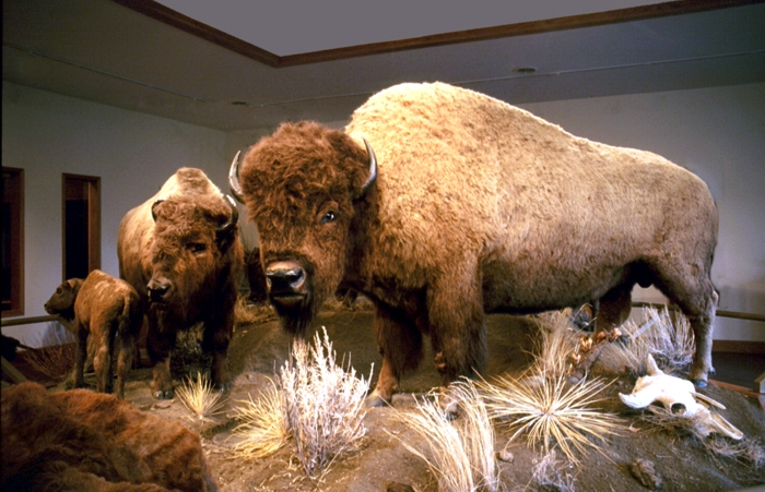
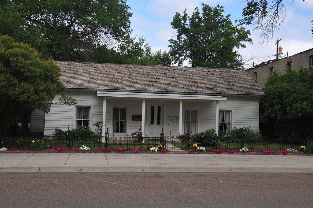
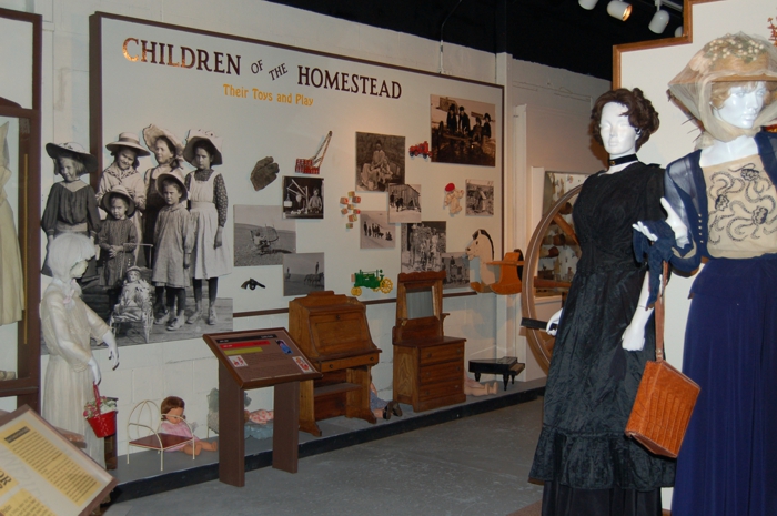
Museum, Theatre, or Intrepretive Center
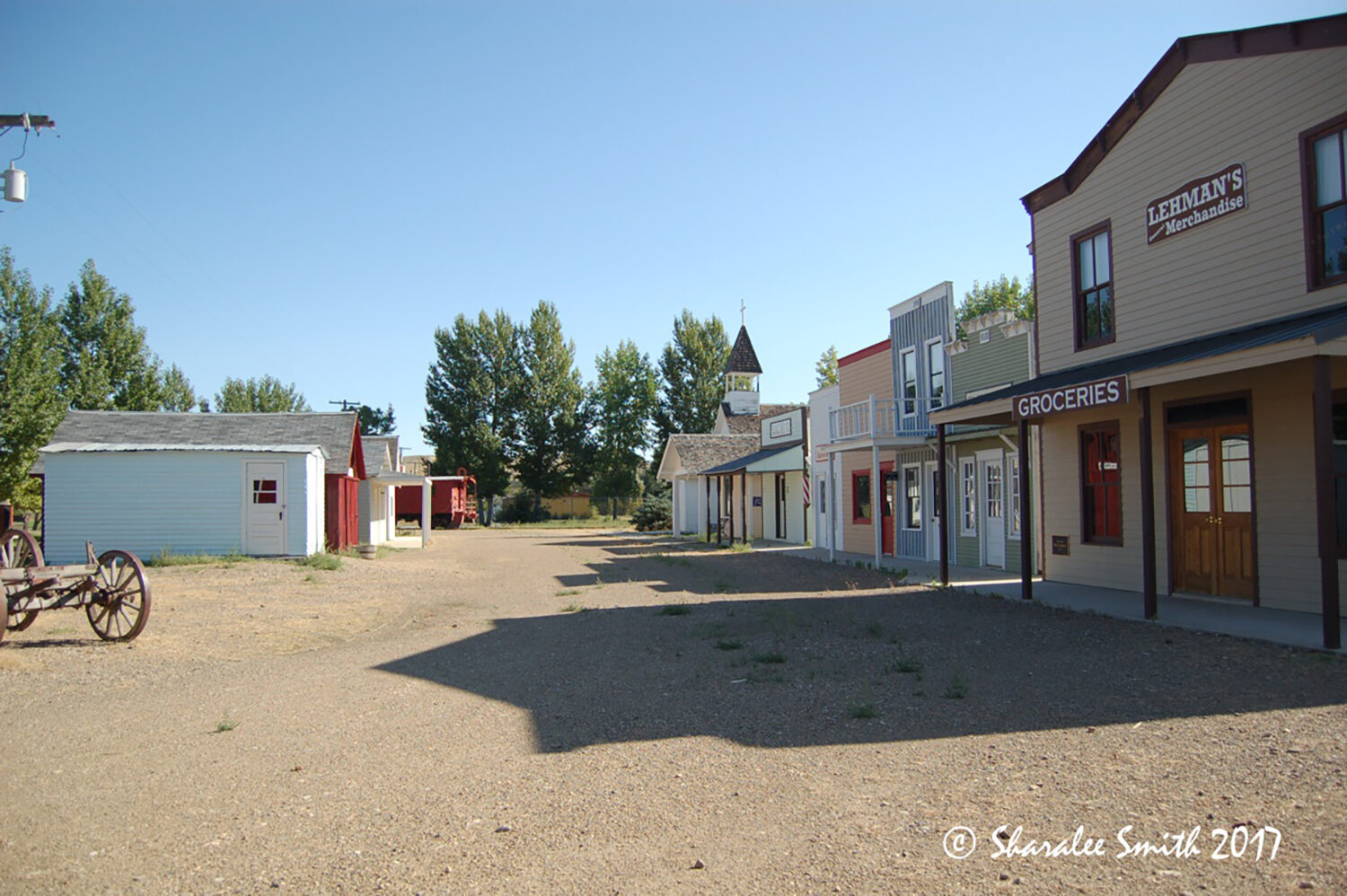
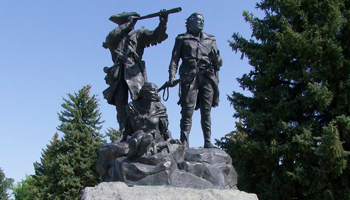
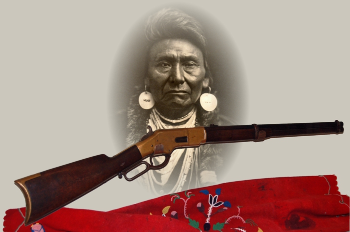
History
Yellowstone Road
Fort Peck
Montana
59223