The Beginning Point
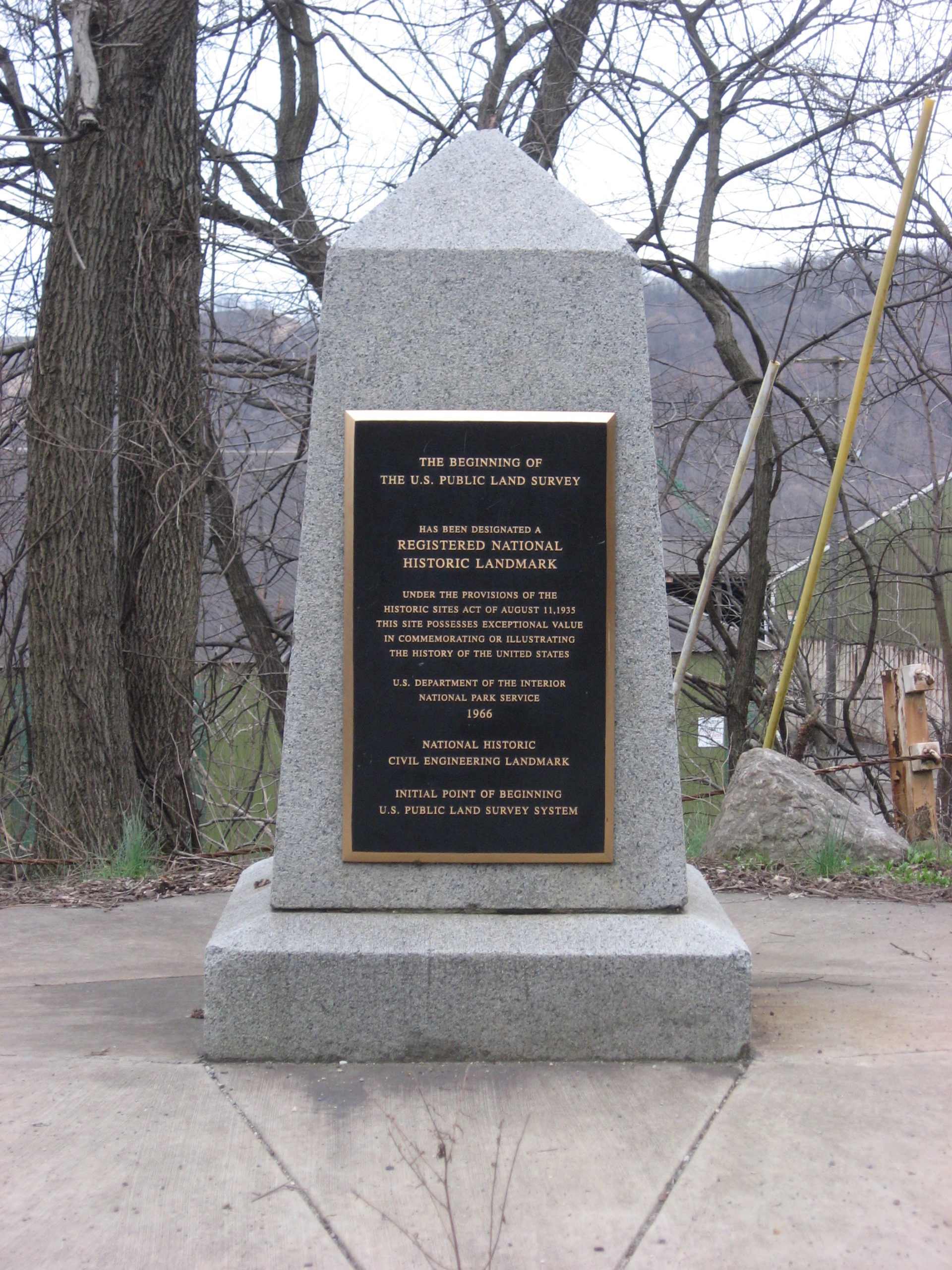
The “Point of Beginning” in the town of East Liverpool, Ohio is one of only several hundred “National Historic Engineering Landmarks” worldwide. It marks the start of the American Rectangular Land Survey System installed by the Federal Government in 1785. This monument on the Ohio River at the Pennsylvania Border marks the spot where surveyors started dividing the great Northwest Territory into a series of “Ranges.” It formed the basis of the one-mile-square grid system that eventually spread across most of the Central US. It is easily accessed by all who wish to read the story it tells. Do not miss to see the Beginning Point at your Lewis and Clark Heritage trail!
Distance Unit:
Distance Unit: