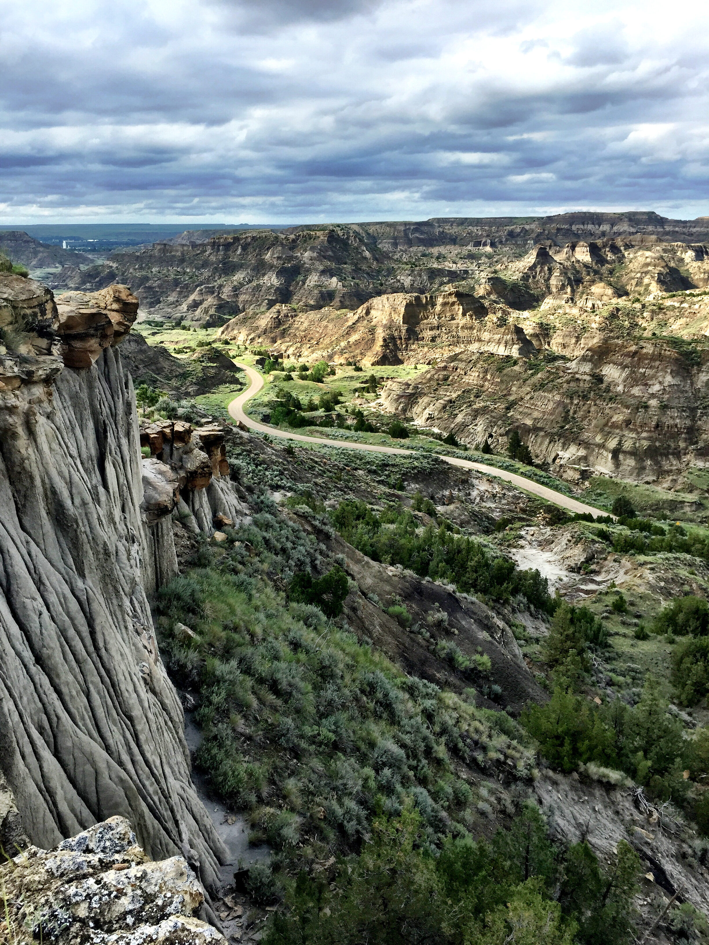
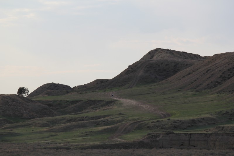
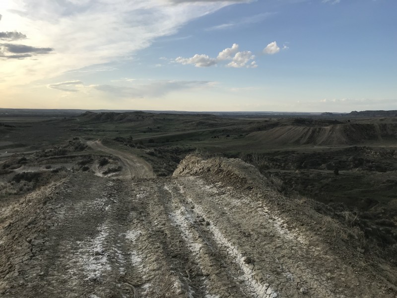
Glendive Short Pine OHV Area
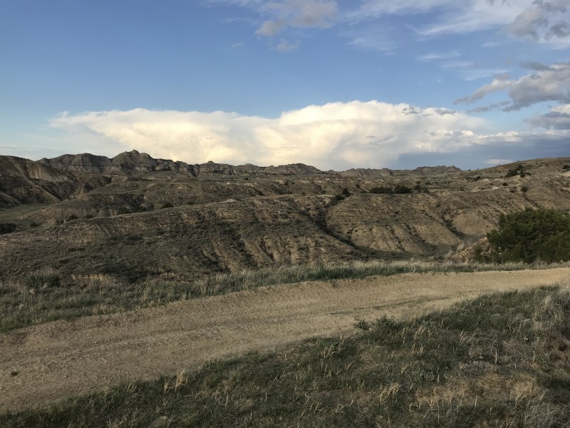
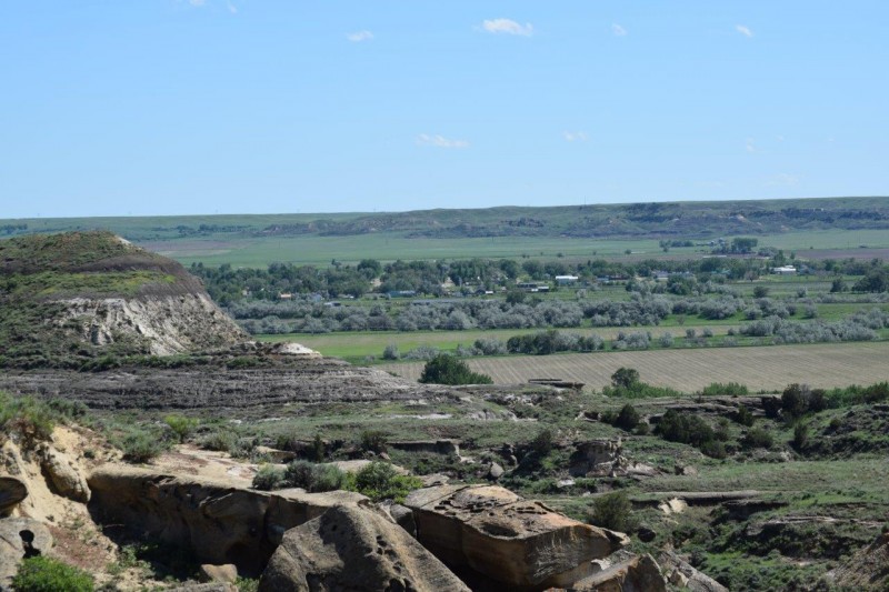
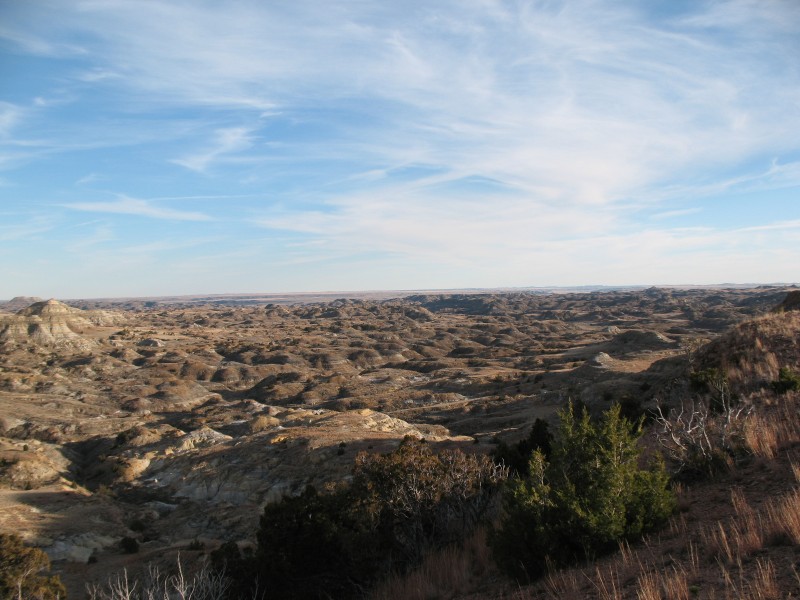
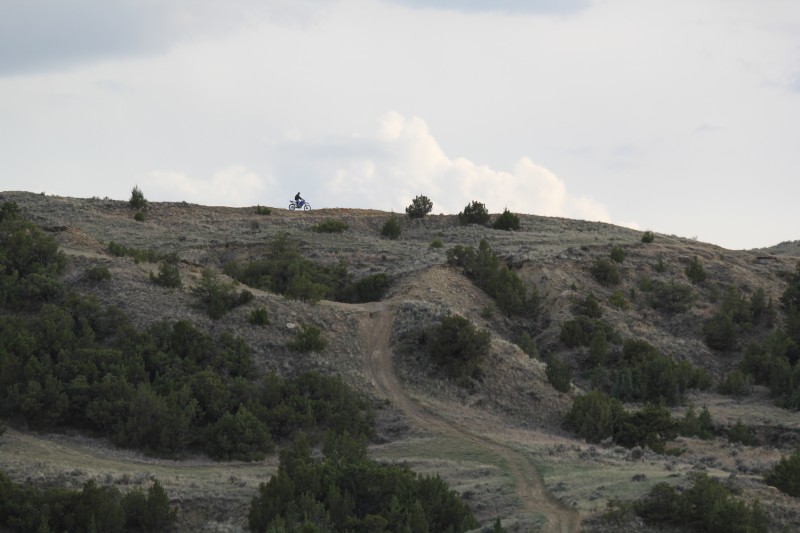
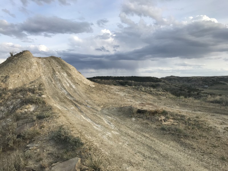
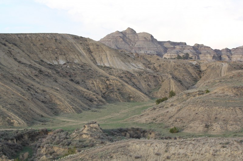
Short Pines OHV Area, located just outside Glendive, is the premier and only site in Eastern Montana where OHVs/ATVs can ride freely across Bureau of Land Management property. The site offers 2,800 acres adjacent to Makoshika State Park for OHV enthusiasts to enjoy. OHV trails at Short Pines range from easy to extremely challenging, providing something for every level of rider.
Part of Short Pines is an “open ride” area while other sections are restricted to existing trails. There is an interpretive sign on site with a map of the property and its trails.
Short Pines is a “Pack in, Pack out” site; please take your trash with you when you go.
No fireworks allowed.
Please be mindful of summer fire restrictions.
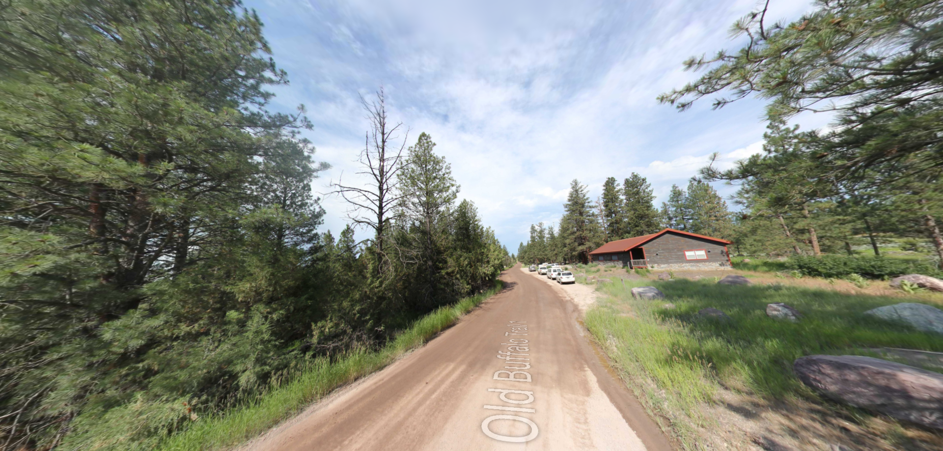
Short Pines is located five miles south of Glendive on Marsh Road. There is a large gravel parking area with vault toilets.
Camping is allowed but there are no designated campsites and no potable water on site.
Distance Unit:
Distance Unit: