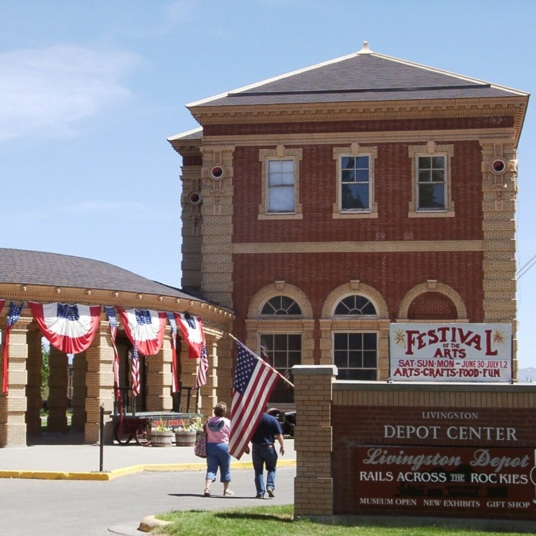
Sacajawea Park
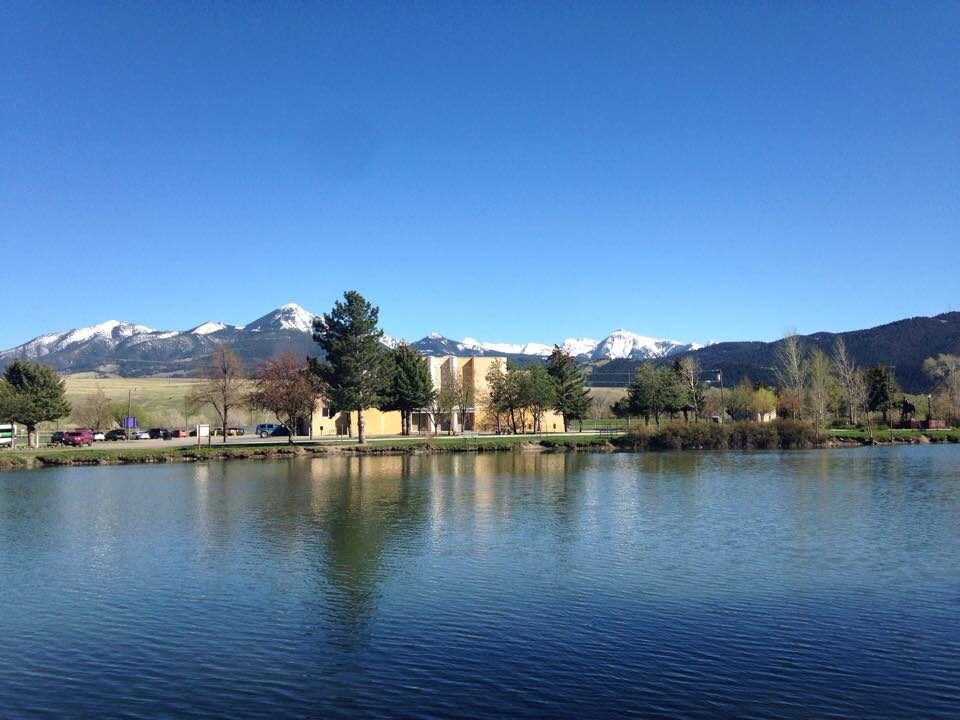
Situated along the Yellowstone River in Livingston, Montana, Sacajawea Park offers a large variety of activities, guaranteeing there will be something for everyone to enjoy. Take in the picturesque views at the park with a picnic, perhaps after grabbing your lunch to-go from one of the many nearby restaurants. Give the kids time to let loose in the large sports fields or at the playground. Or unwind after an adventurous day on the Lewis and Clark Historic Trail by taking a leisurely stroll along the scenic river walk.
Sacajawea Park also provides a wonderful chance to step back into history. Located about half a mile from the probable location of where Clark and his team entered the Yellowstone River on their return journey home, the park offers signage with historical information about the expedition and an opportunity to imagine how much or little the landscape has changed since Clark and his team had visited the area over 200 years ago.
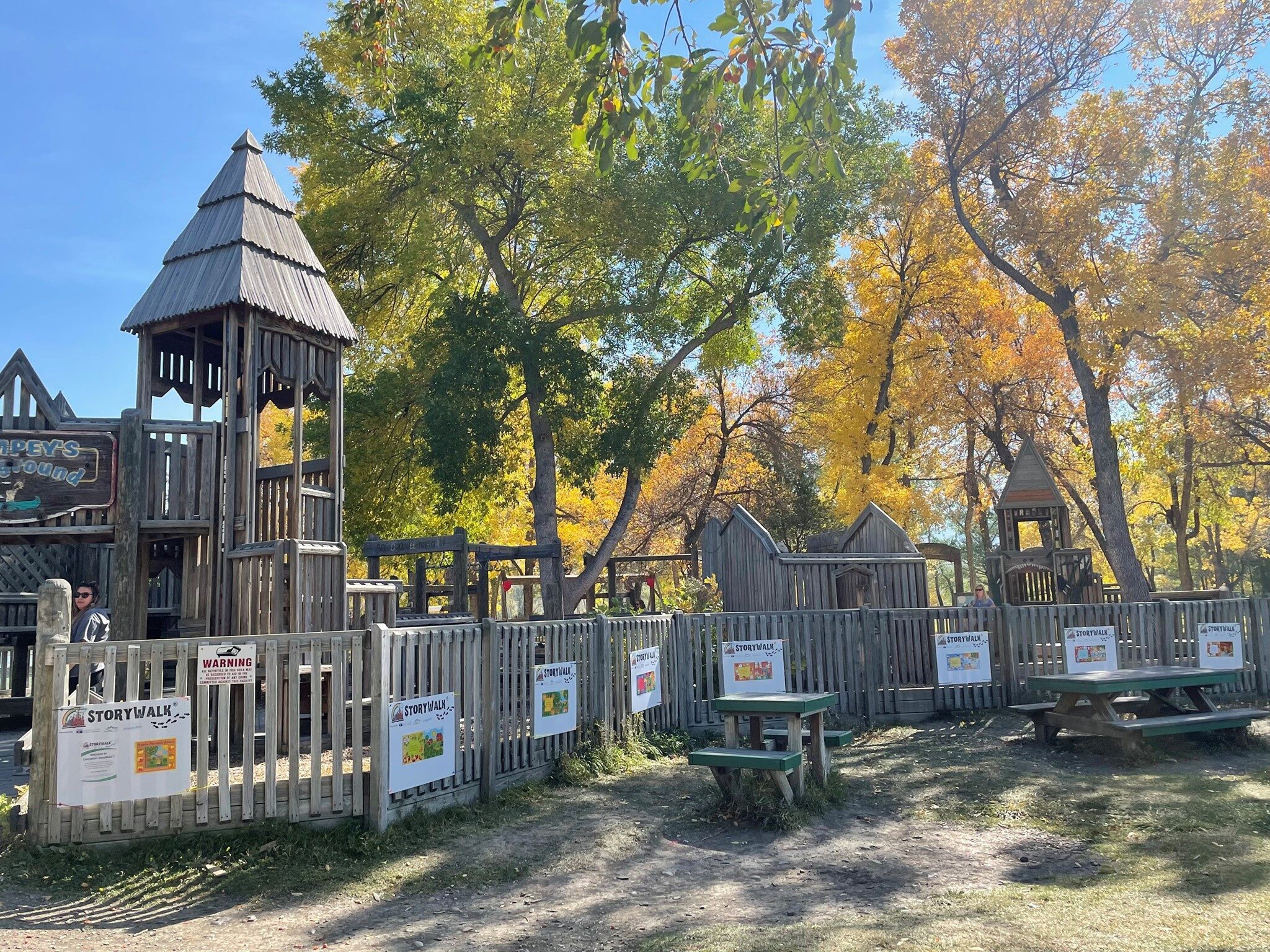
Plenty of amenities are offered at Sacajawea Park, including picnic tables with grills, a large playground, tennis courts, a skate park, shaded benches, an outdoor swimming pool, and events like a farmers’ market. Enjoy your stay in Livingston!
Distance Unit:
Distance Unit:

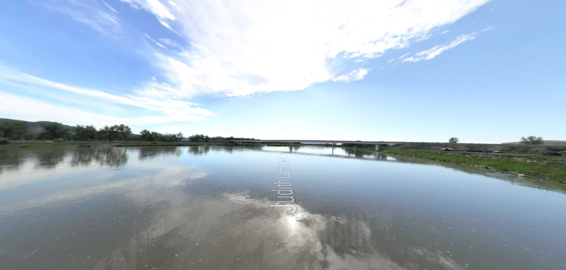
A trail starting at Hauser Dam and overlooking the Missouri River.