Page Feedback

Red House Interpretive Center

Red House Interpretive Center

Information

Fridays - 1:00 p.m. - 4:00 p.m. Saturdays - 1:00 p.m. - 4:00 p.m. Guided group tours are available on weekdays by appointment only. Call (573) 339-6340.
573-339-6340
Admission is free
lat: 37.3008686 long: -89.5187245

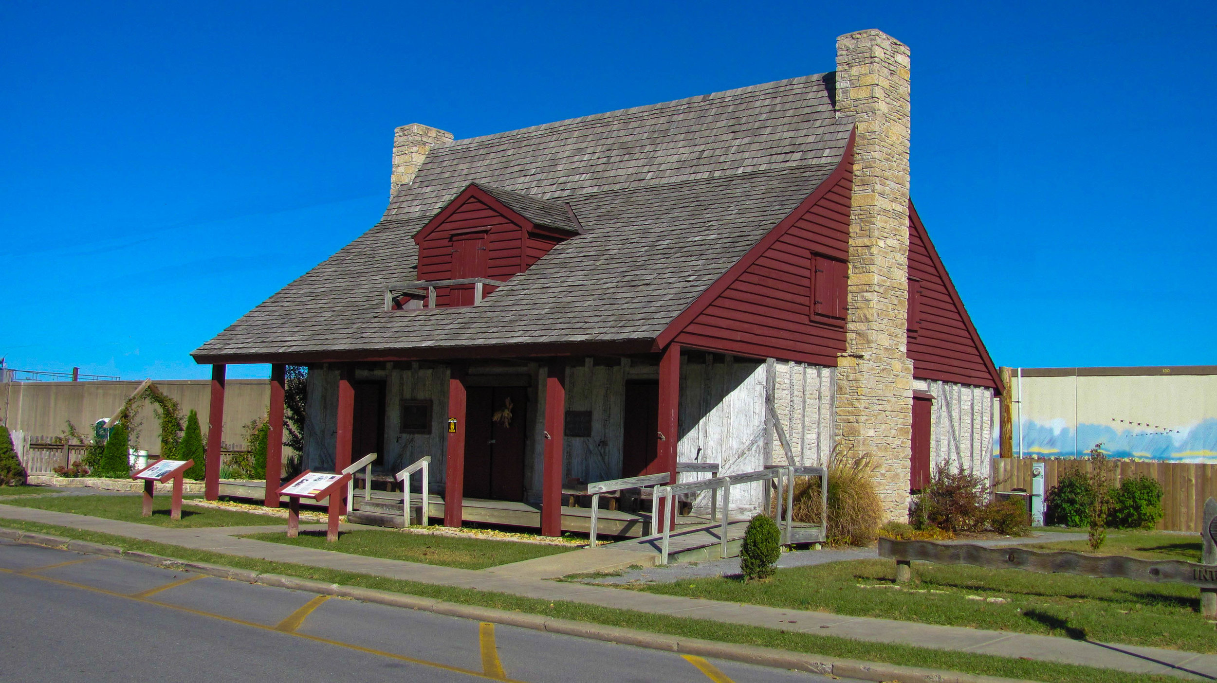
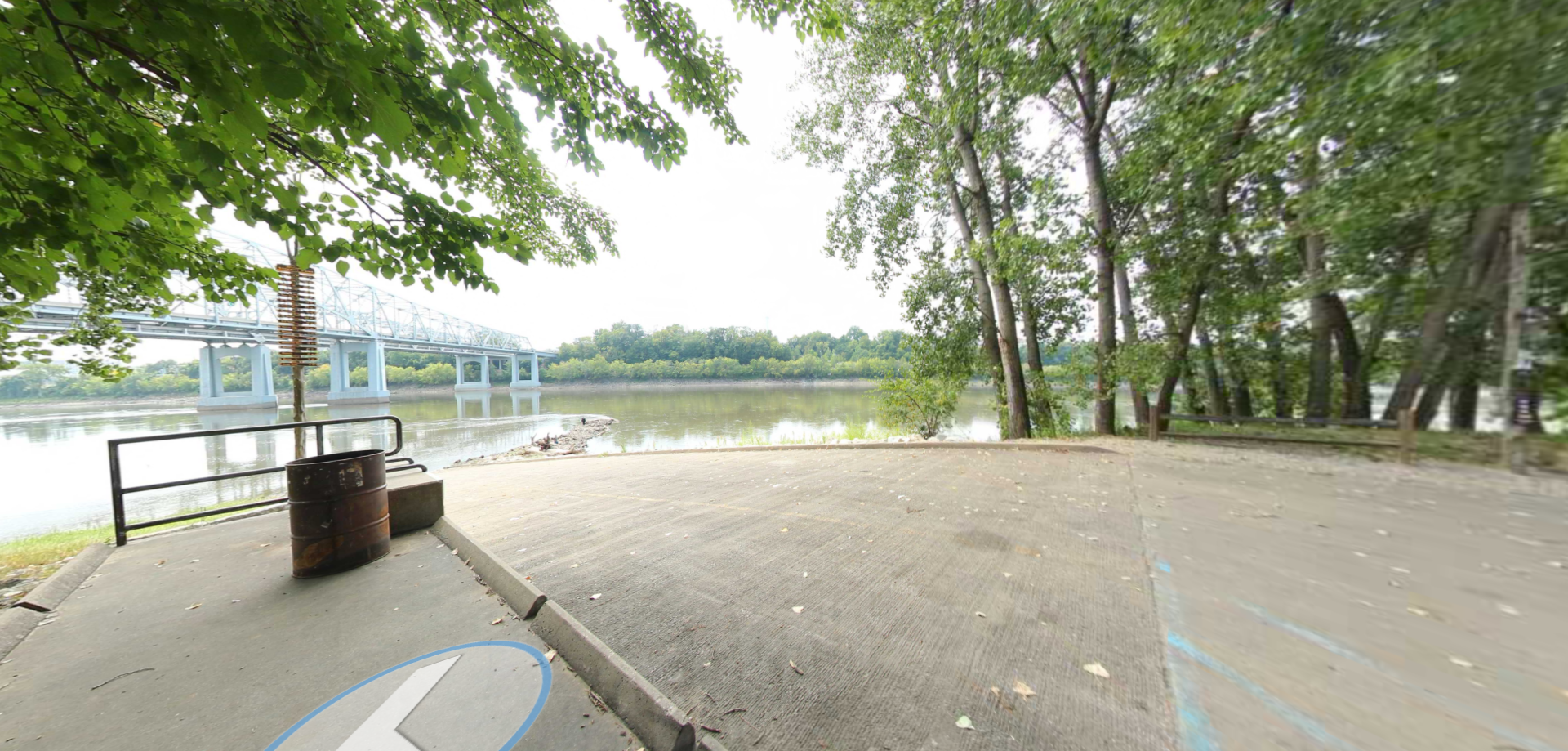
The Red House Interpretive Center is located in downtown Cape Girardeau, Missouri. Originally built in 1797 by community founder and French-Canadian, Louis Lorimier, the structure overlooks the banks of the Missouri River. Although the original building was destroyed by a tornado in 1850, the site was rebuilt in 2003 thanks to many volunteers using the poteaux-sur-solle (“post-on-sil”) technique once favored by French settlers.

In the early 19th Century, the “red house” was the best-known trading post between St. Louis, MO, and Memphis, TN. It also served as a fledgling community and government center for the area. In November of 1803, Meriwether Lewis and William Clark stopped to visit with Lorimier’s family and purchase supplies for the expedition ahead.

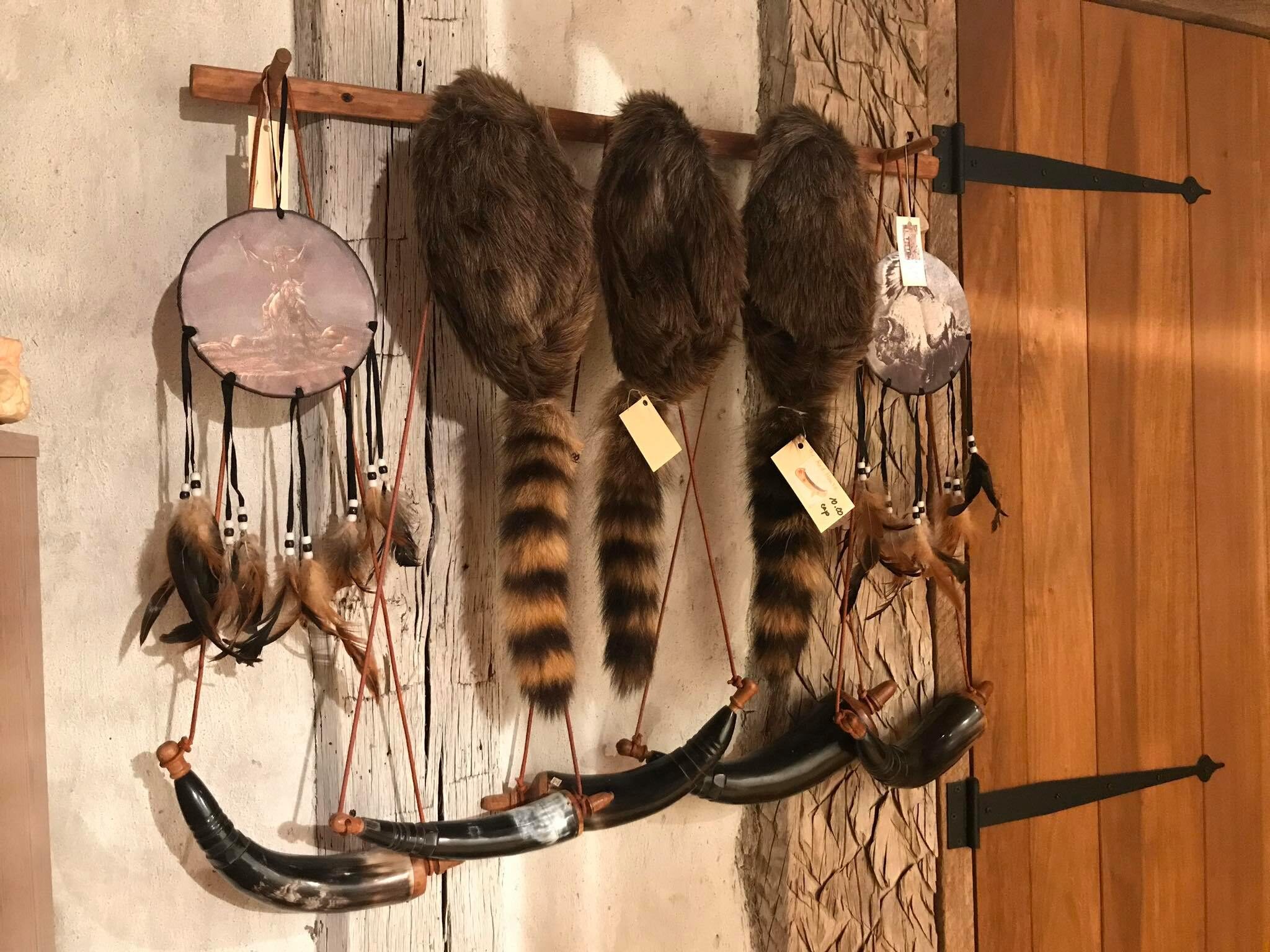
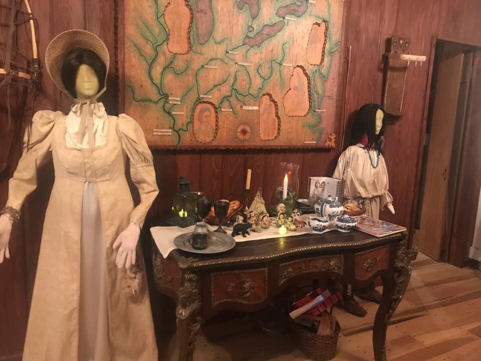
The reconstructed house displays several exhibits depicting the lives of the area’s early settlers. Visitors can peruse 19th-century merchandise in Lorimier’s Trading Post or visit the Lorimier Room to see how a home of this period may have been decorated. In the Girardeau Room, a large map of the territory under the control of Don Louis Lorimier for the Spanish Government is on display. Visitors can also walk through the Historic Gardens on the north side of the house which contains flowers, vegetables, and herbs typical of a garden in 1803.

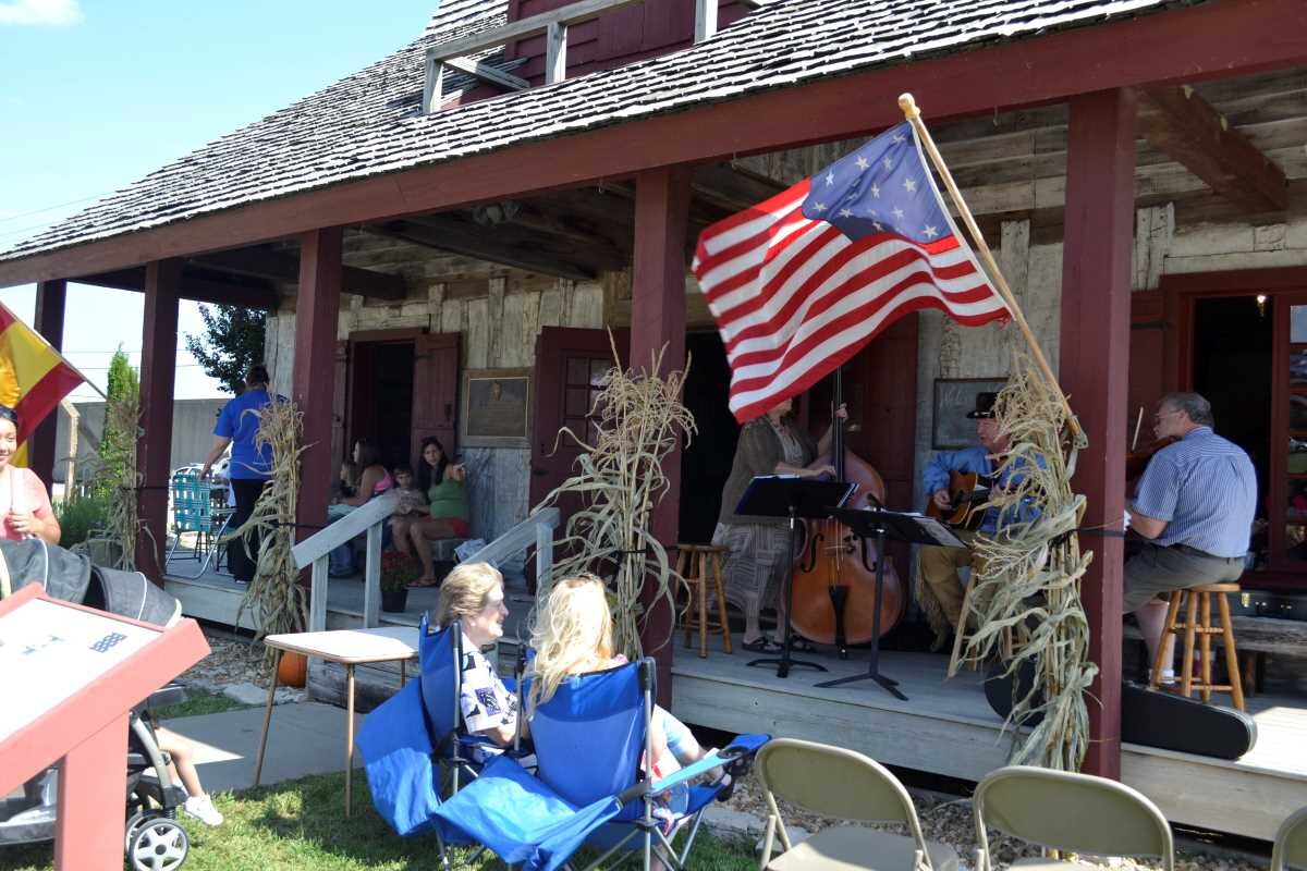
Today, the Red House Interpretive Center is maintained by the City of Cape Girardeau and is open to visitors from May to October. Admission is free.

Nearby Attractions

Distance Unit:

Nearby Trails

Distance Unit:

Trail of Tears Overlook

A breathtaking viewpoint overlooking the Trail of Tears State Park. Car access is available

lat: 37.4490937 long: -89.4764524
Red House Path

lat: 37.3008461 long: -89.5186713
Taylors Landing

A boat ramp to the beautiful Missouri River with a peaceful view of the river.

lat: 38.94831 long: -92.53559
Lewis and Clark Memorial

lat: 38.57843 long: -92.1714
LaBenite Park to Miami

lat: 39.16744 long: -94.39343
Lewis and Clark Nature Trail

lat: 38.77314 long: -90.4821
Fort Osage Historic Park

lat: 39.1864762 long: -94.1928602
Fort Bellefontaine

lat: 38.827083 long: -90.214293
Trail of Tears to Cairo

The path taken by Chief John Ross on his way to Cairo. (https://www.hmdb.org/m.asp?m=161480)

lat: 37.45684 long: -89.46319
Noren Access Path

lat: 38.5894 long: -92.17918
Trail of Tears Nature Trail

 Here, nine Cherokee Indian groups braved harsh winter conditions while crossing the Mississippi River in 1838-1839, marking a sorrowful chapter in American history. The park also has: shaded picnic sites, hiking and horse trails, opportunities to fish…

lat: 37.4388916 long: -89.480974
Chamoise to Klondike MO

lat: 38.70603 long: -91.73071
Send Feedback

Instagram Feed