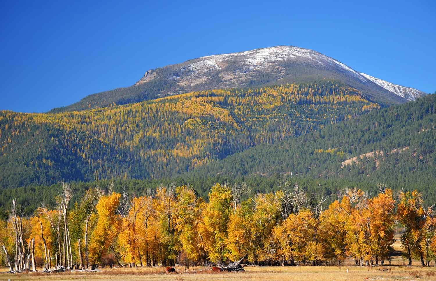
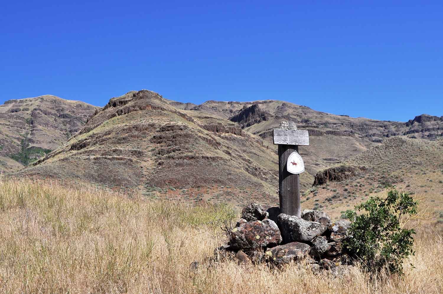
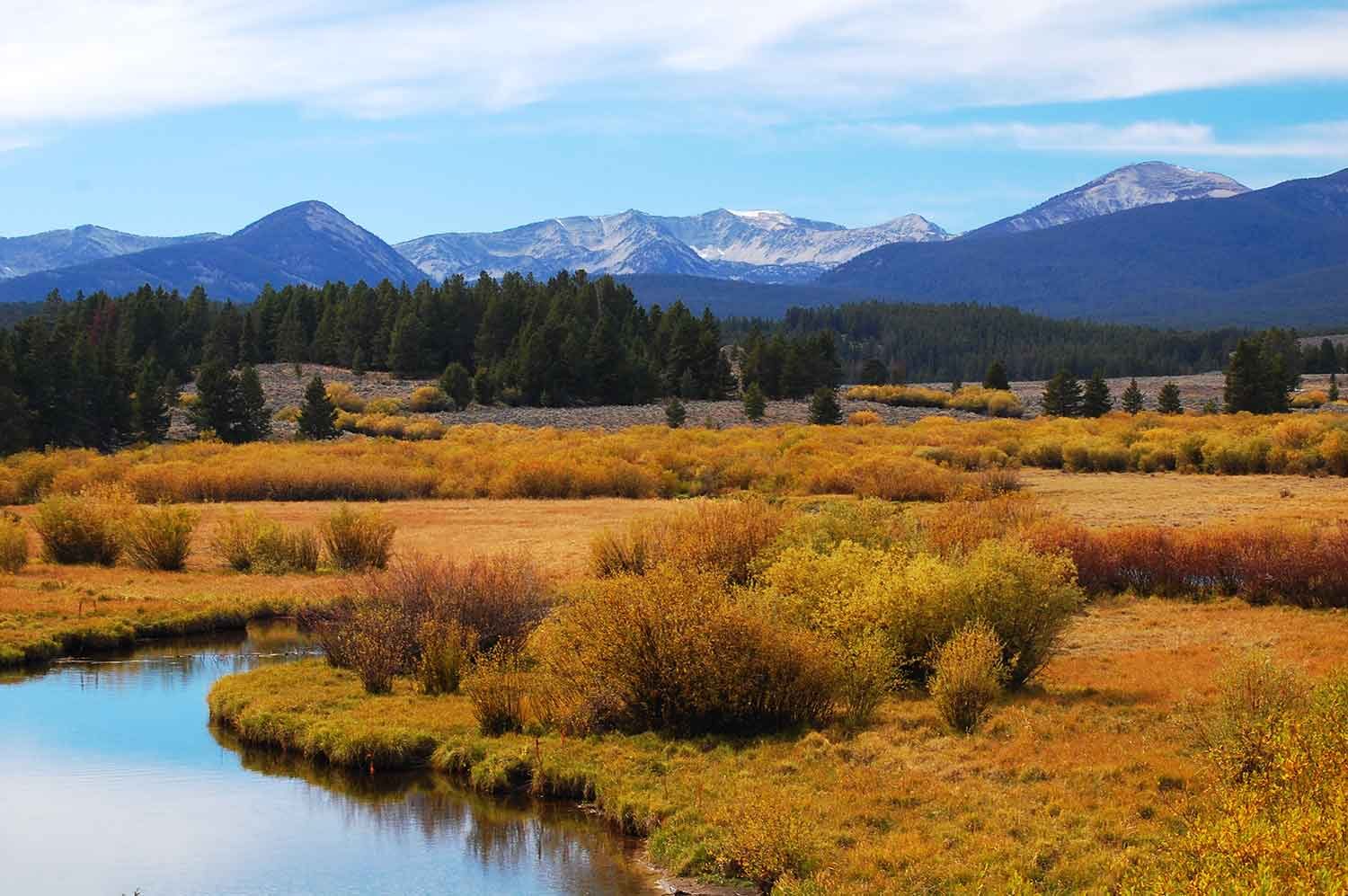
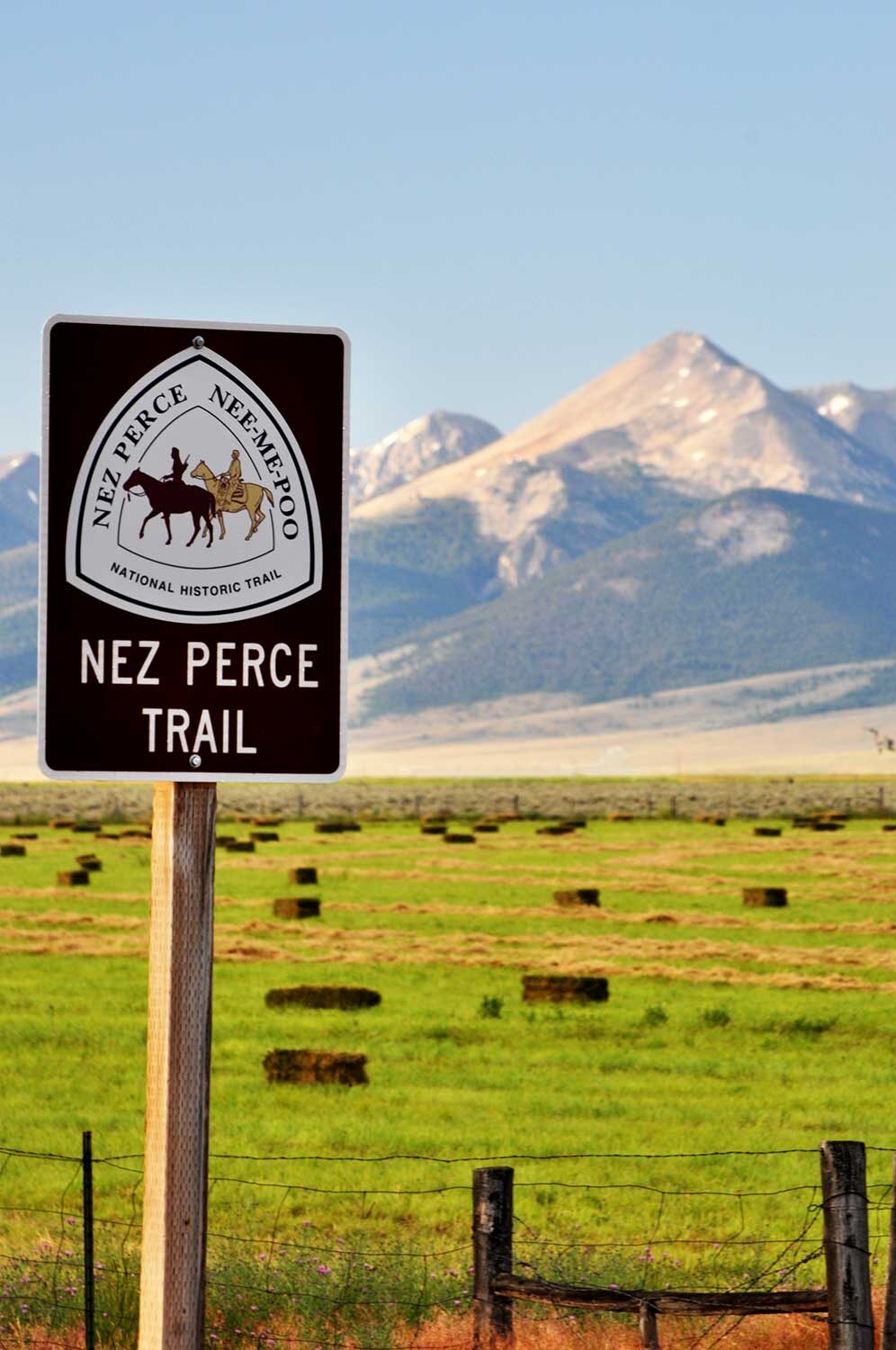
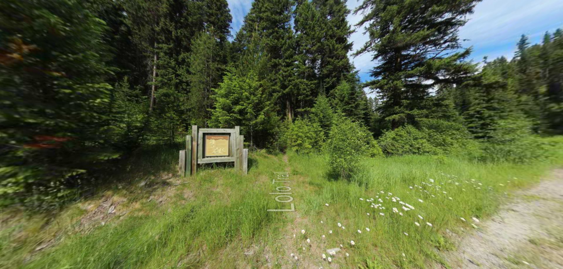
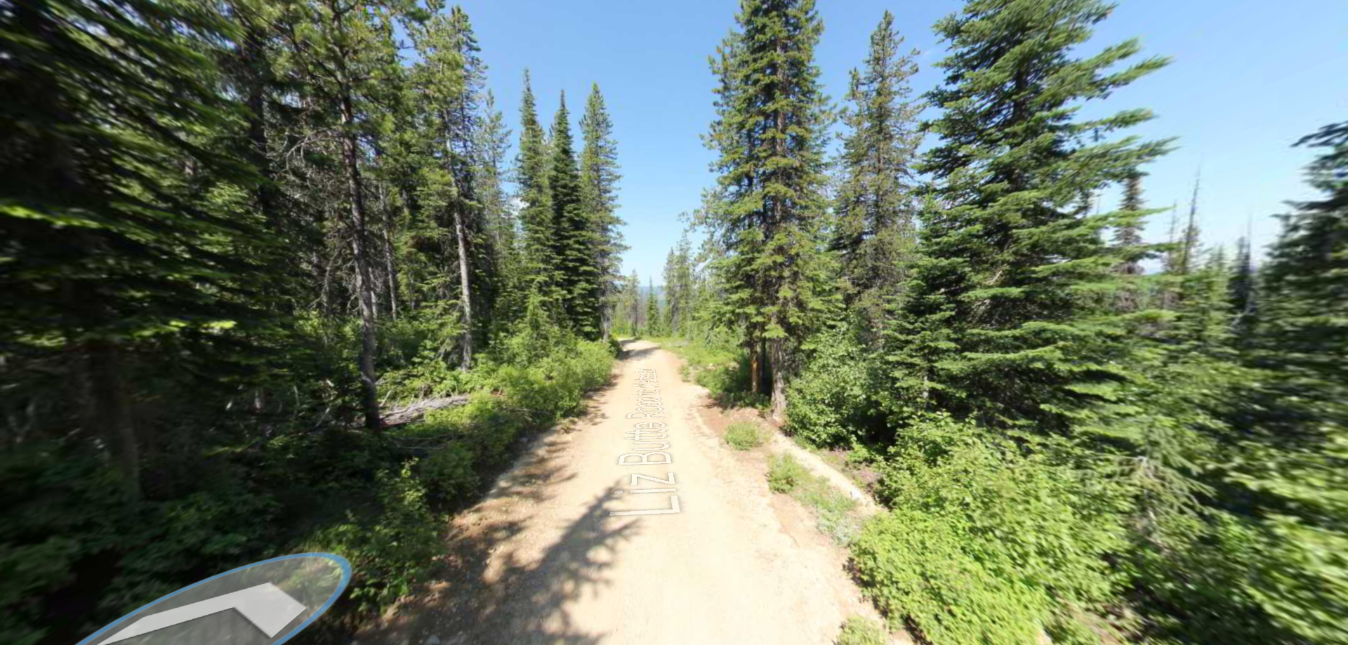
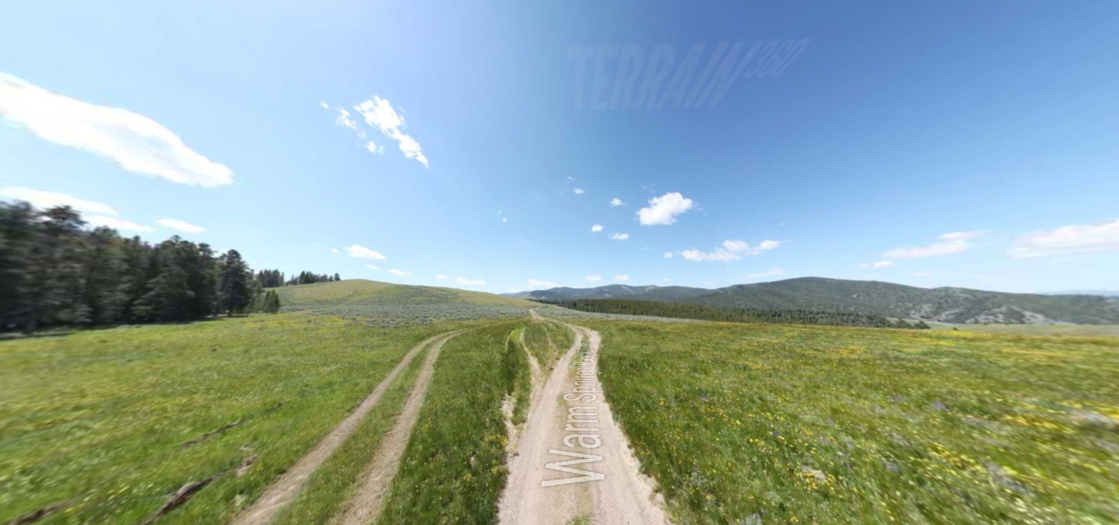
Nez Perce National Historic Trail
Captains Meriwether Lewis and William Clark and their Corps of Discovery traveled through Nez Perce country in the fall of 1805. After some initial apprehension, the Nez Perce embraced the expedition and provided help when the party was nearing starvation. After journeying further west, Lewis and Clark returned in the spring of 1806. They spent more time with the Nez Perce than any other tribe encountered during their expedition.
Lewis and Clark engaged in a diplomatic exchange with Nez Perce chiefs. The captains sought to establish trading posts and intertribal peace in the region. The Nez Perce were willing to cooperate as long as guns and other weaponry were provided to the tribe.
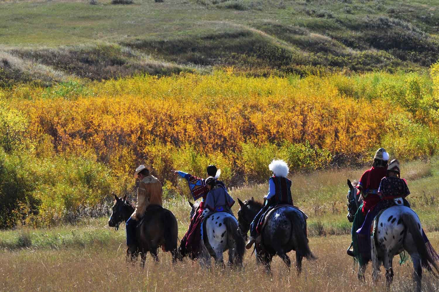
Like their Shoshone neighbors, the Nez Perce were without guns or ammunition. This left them vulnerable to their enemies who could obtain weapons from Canadian traders and also hampered their ability to hunt buffalo. The Nez Perce were known for their horsemanship and breeding, especially the Appaloosa horses, which provided a great advantage in traversing long distances in order to hunt and fish.
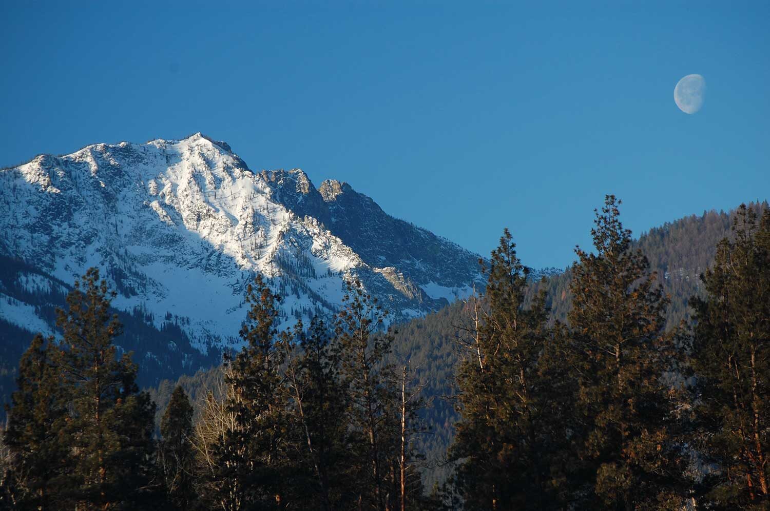
Chief Joseph’s father refused to sign the 1863 Treaty. On June 15, 1877, The Wallowa Band of Nez Perce (Nimíipuu) fled their homelands in Wallowa Valley in northeastern Oregon to escape being forced to move to the reservation in Idaho. They hoped to evade violent engagements with settlers and the United States Army and find a more peaceful existence living according to their traditions. An estimated 750 to 800 men, women and children and 250 warriors were pursued by military which included the 7th Infantry and 7th Calvary of the U.S. Army. They set off near Wallowa Lake in eastern Oregon and traveled a circuitous 1,170 miles over five months through Idaho, Wyoming and Montana. The Tribe planned to ally with the Crow for security, but when the Crow refused aid, the Tribe headed toward the Canadian border.
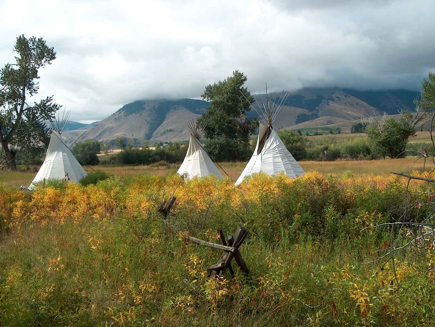
Along the way, the Nez Perce warriors valiantly fought U.S. military and citizen volunteers across a series of battles. But starved and exhausted from the journey and persistent clashes, the brave Chief Joseph surrendered following a battle near Bears Paw Mountains in Montana, less than 40 miles from the Canadian border. Led by Chief White Bird, nearly 300 Nez Perce men, women and children managed to escape the battle at Bears Paw and make their way into Canada where they joined Sitting Bull and the Lakota near Fort Walsh. Following surrender, the Nez Perce were sent to Fort Leavenworth, Kansas, and eventually to reservations in Oklahoma, where deplorable conditions led to the death of most babies born on the Indian Territory. Today, the trail represents a sacred journey, connecting the surviving Nez Perce people to the past, present and future.
Auto Tours:
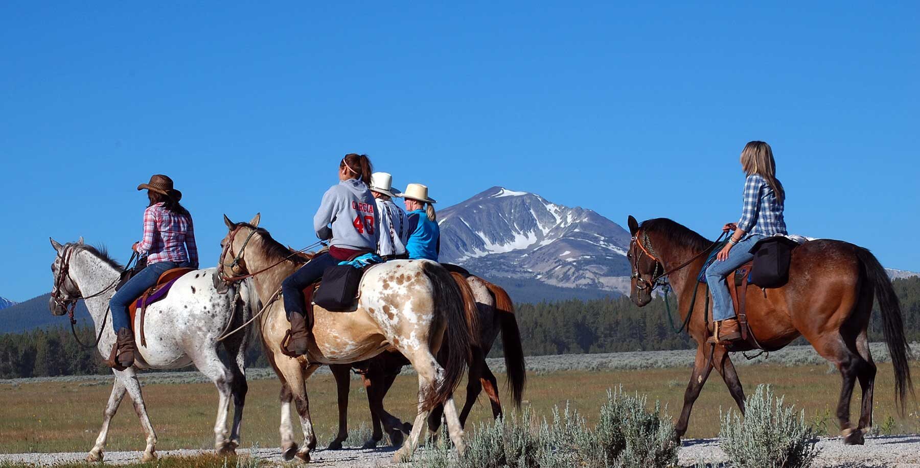
Hiking/Horseback Tours
Distance Unit:
Distance Unit:
Tucked 35 miles northeast of Pierce, just off Forest Service Road 250, Weitas Campground offers a tranquil escape on the shaded banks of Weitas Creek near the North Fork of the Clearwater River. Accessible via…
Embark on a historic trail dating back to August 9, 1805, when Lewis, accompanied by a scouting party, ventured away from the main group. Their mission: to discover a portage and establish contact with the…