Jefferson River Canoe Trail
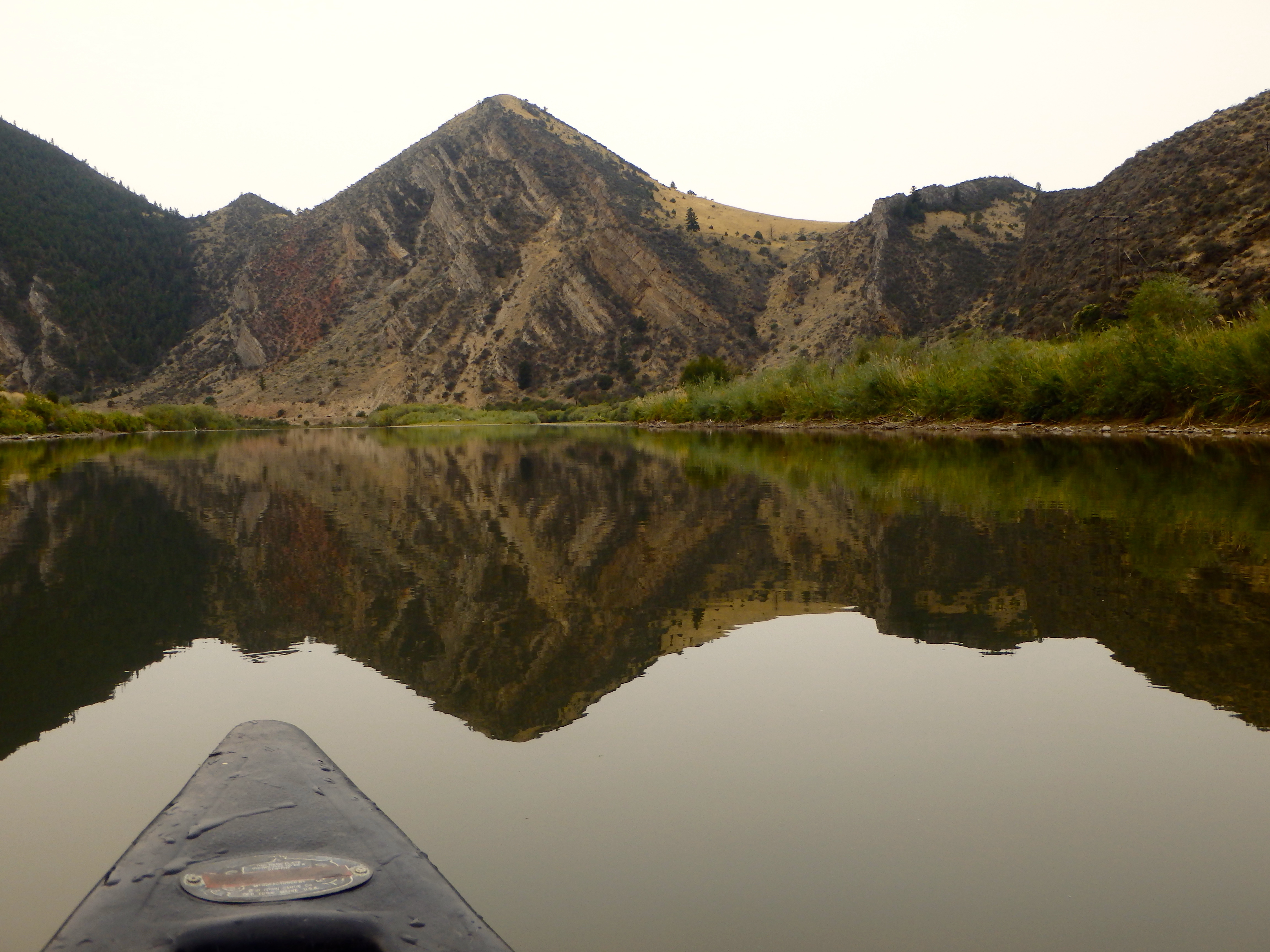
The Jefferson River Canoe Trail retraces by water an essential segment of the Lewis and Clark National Historic Trail along the entire length of the Jefferson River in southwest Montana.
The Lewis and Clark Expedition towed dugout canoes up the Jefferson River in 1805 in search of a navigable water route to the Pacific. Most present-day travelers prefer to follow the trail in reverse, floating down the Jefferson River in search of fun and fishing. The entire length of the river is Class I water, suitable for beginning paddlers, except during runoff season in spring.
The Canoe Trail includes a network of multipurpose campsites on public lands on the Jefferson River. The public may float into these sites for primitive camping along the river. At each camp there are opportunities for such activities as bird watching, mushrooming, hiking, and fishing.
Distance Unit:
Distance Unit: