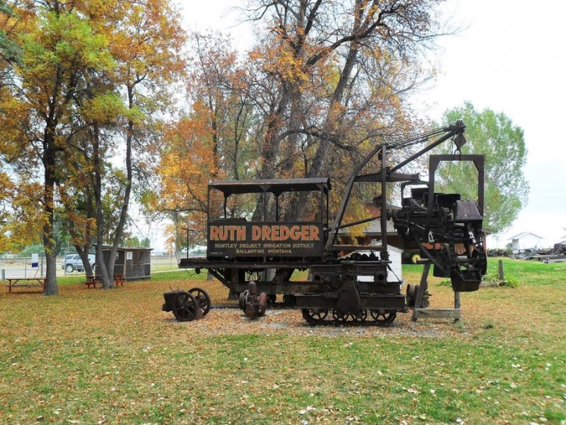
Huntley Project Museum of Irrigated Agriculture
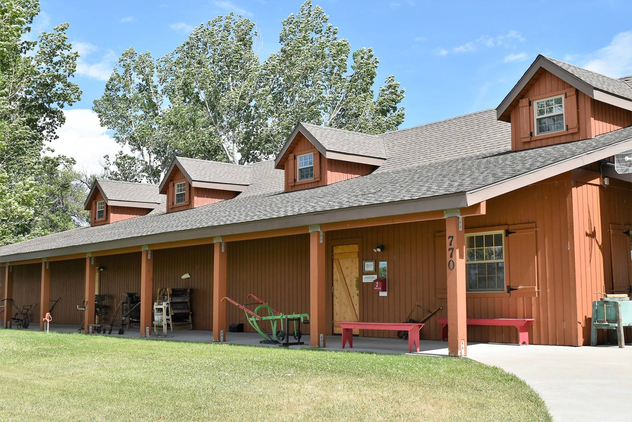
The Huntley Project is an irrigation project by the U.S. Bureau of Reclamation. The Huntley Project Museum tells the story of how the irrigation project came to be, how it was constructed, & the homesteaders & events that settled it. The Huntley Project has it’s own unique history within the history of Montana. The museum is on approximately 10 acres with a park like setting. You can stroll the historic town of Osborn, Montana & learn the hardships & successes of rural life 111 years ago. There is a huge selection of antique farm equipment which you can enjoy in action during the annual Threshing Bee held every third weekend in August.
Distance Unit:
Distance Unit:


A trail starting at Hauser Dam and overlooking the Missouri River.


The Blackfoot River, sometimes called the Big Blackfoot River to distinguish it from the Little Blackfoot River, is a snow-fed and spring-fed river in western Montana.