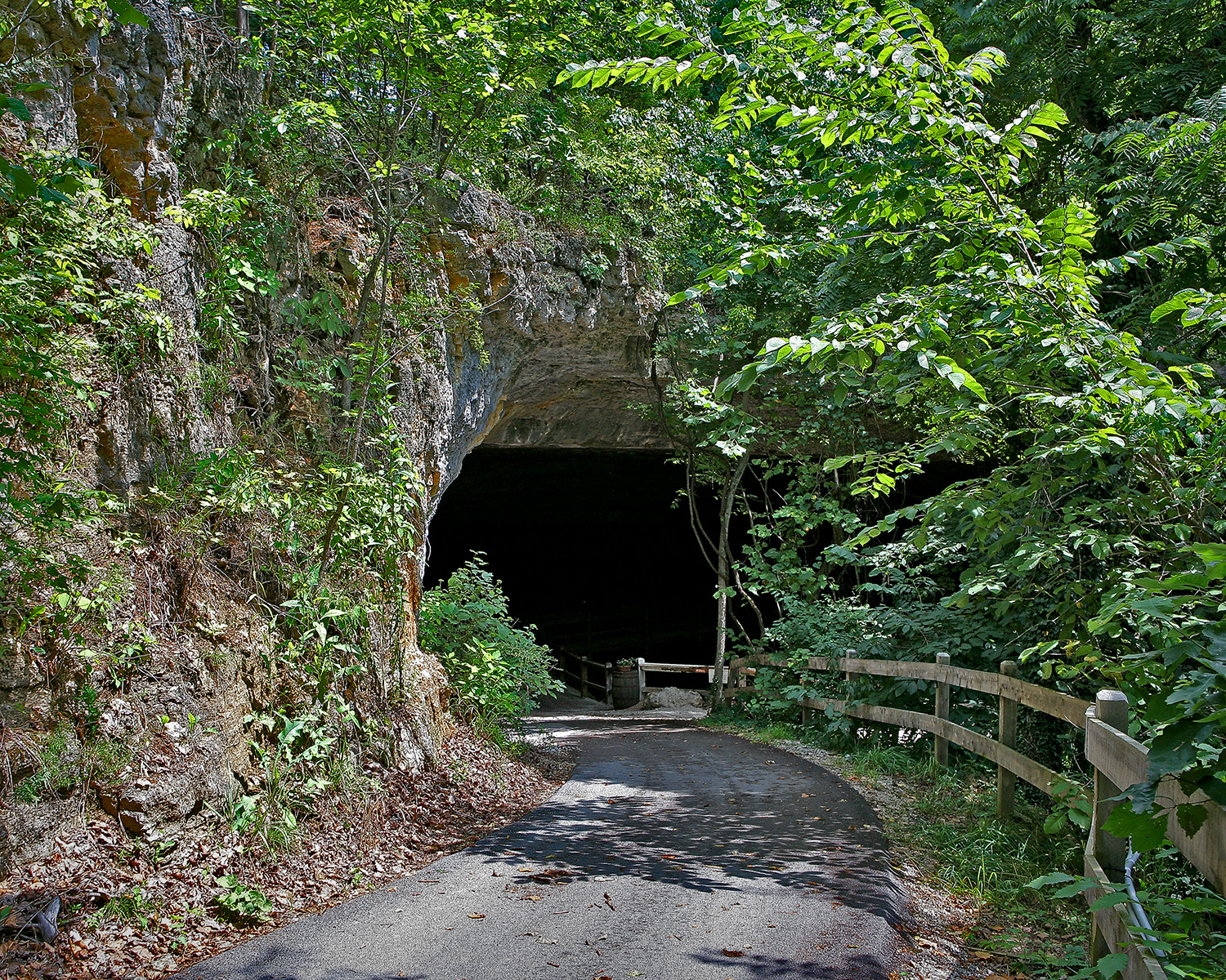
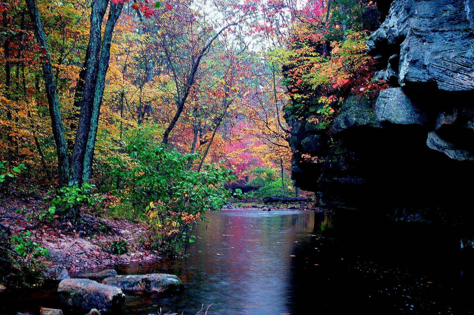
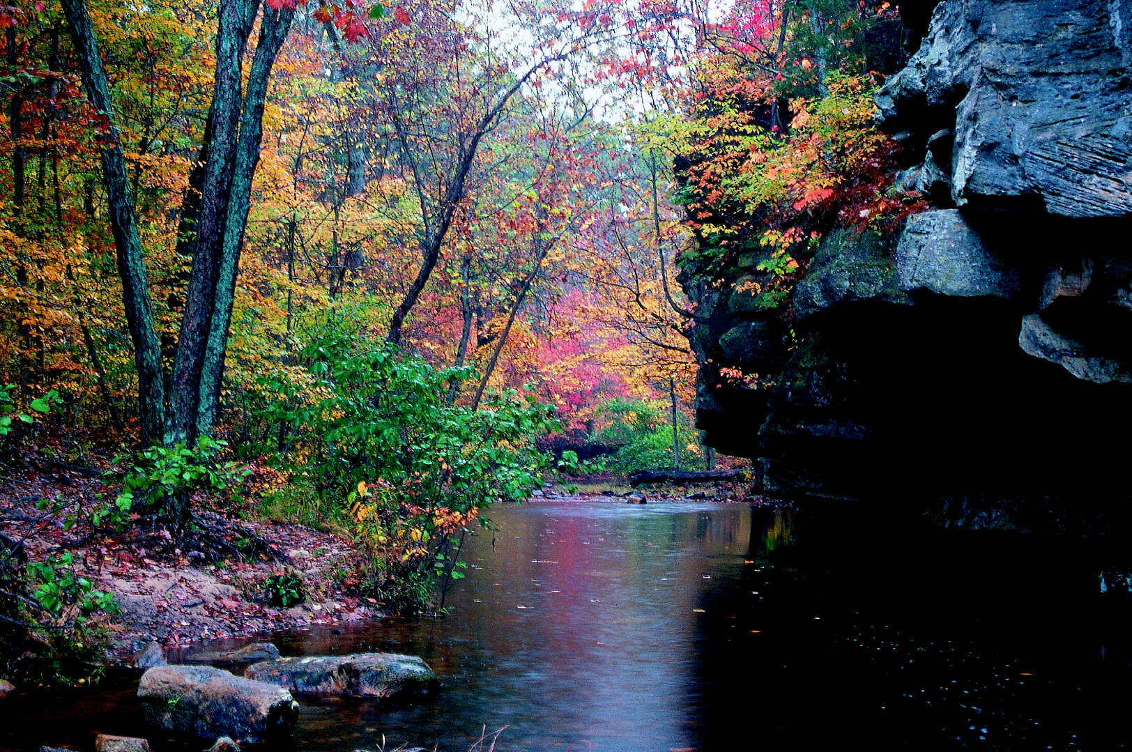
Hickory Canyons Natural Area
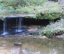
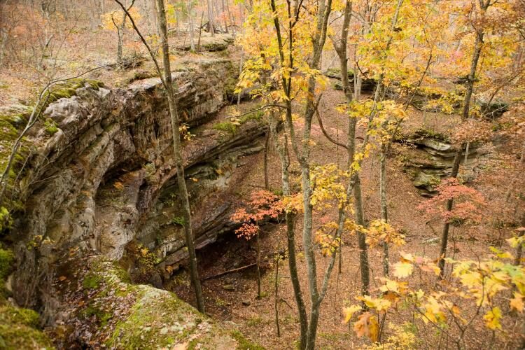
Two trails in Hickory Canyons Natural Area offer interesting views of the area’s distinctive bluffs and canyons. In Hickory Canyons a number of unique plant communities grow, especially on the cool, moist cliff faces. Look for partridge berry, various ferns liverwort, and club mosses. In the bottoms grow rattlesnake plantain, spicebush, pawpaw, and deciduous holly.
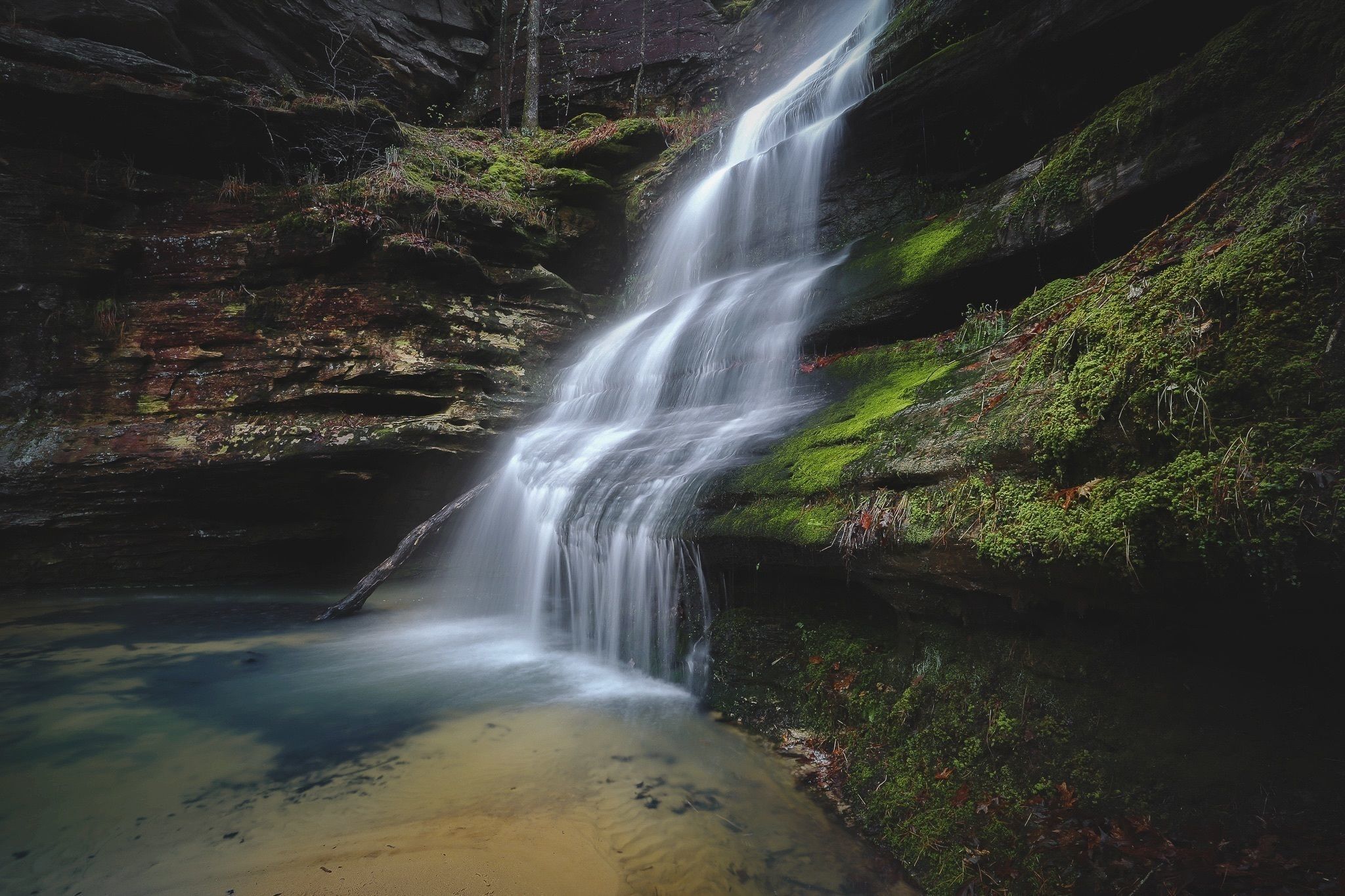
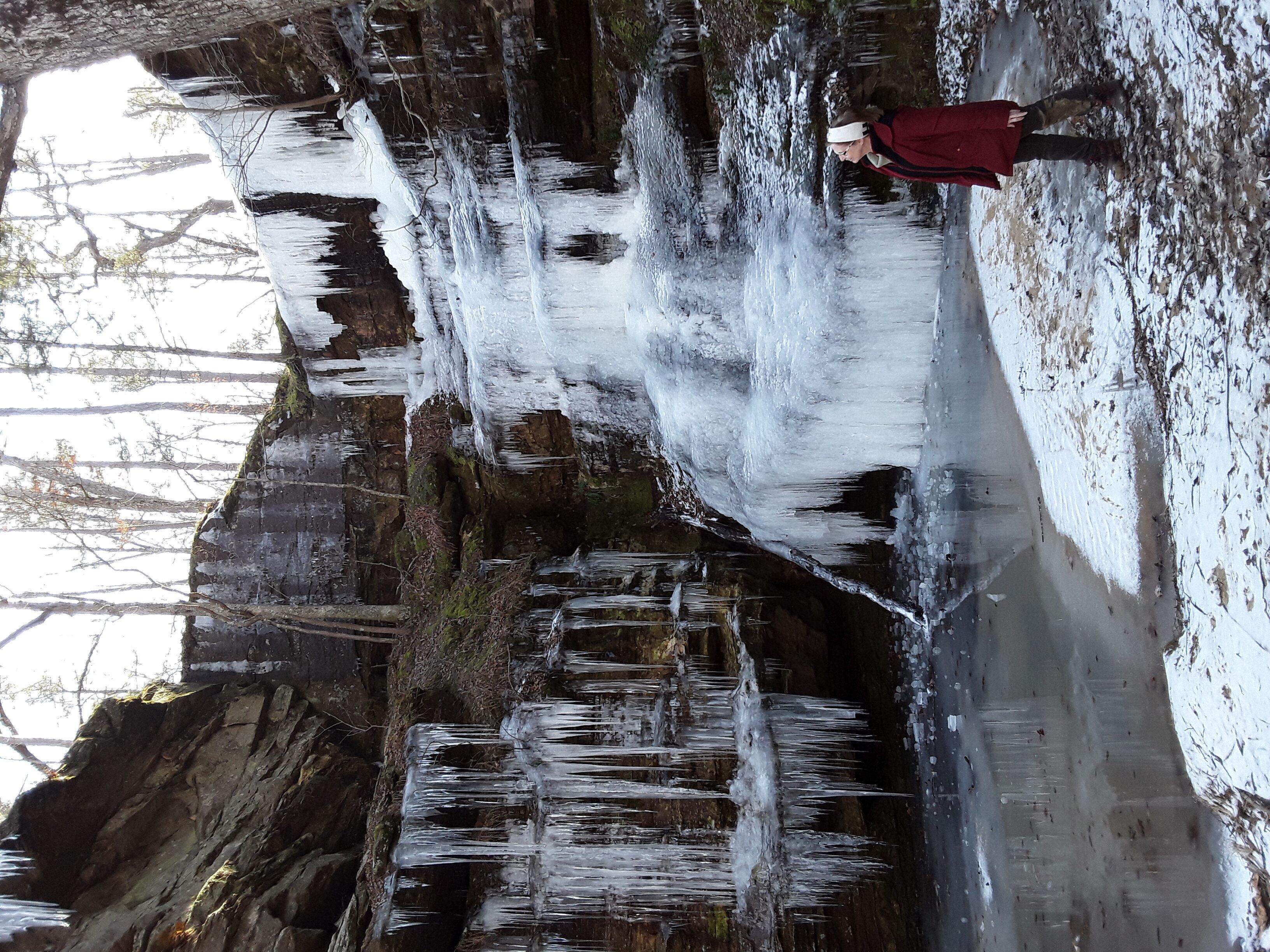
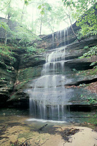
In May you might smell the wild azaleas before you see them! Next to the parking area is a one-quarter mile trail leading to a steep-walled, horseshoe-shaped box can-yon. If there has been rain lately a 40 foot waterfall tumbles from one end. Across the road is a hilly, rocky 1 mile loop that passes by steep sandstone bluffs, through the oak, maple, pine forest, & over a scenic creek. In the winter icicles may form on the rocks!
Directions: Take Highway 32 west from Ste. Genevieve or east from Farmington to Route C. Go north 3 miles and turn left on Sprott Road. Travel west 1.5 miles to the parking lot at 8388 Sprott Road.
Distance Unit:
Distance Unit:

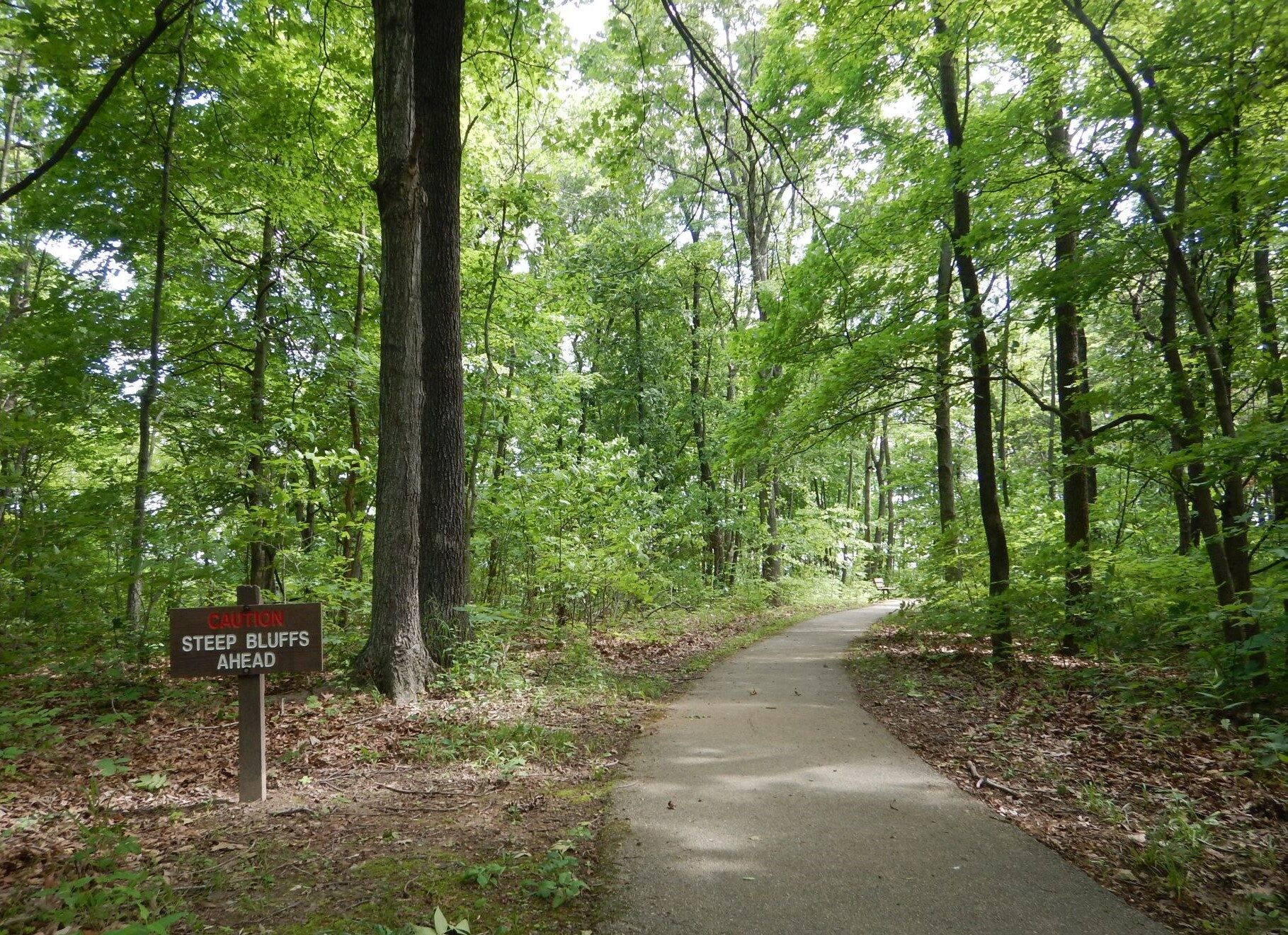
A breathtaking viewpoint overlooking the Trail of Tears State Park. Car access is available


Here, nine Cherokee Indian groups braved harsh winter conditions while crossing the Mississippi River in 1838-1839, marking a sorrowful chapter in American history. The park also has: shaded picnic sites, hiking and horse trails, opportunities to fish…


Explore the Trail of Tears State Park to delve into a somber chapter in American history. Here, nine Cherokee Indian groups crossed the harsh winter Mississippi River in 1838-1839 during their forced relocation to Oklahoma.…