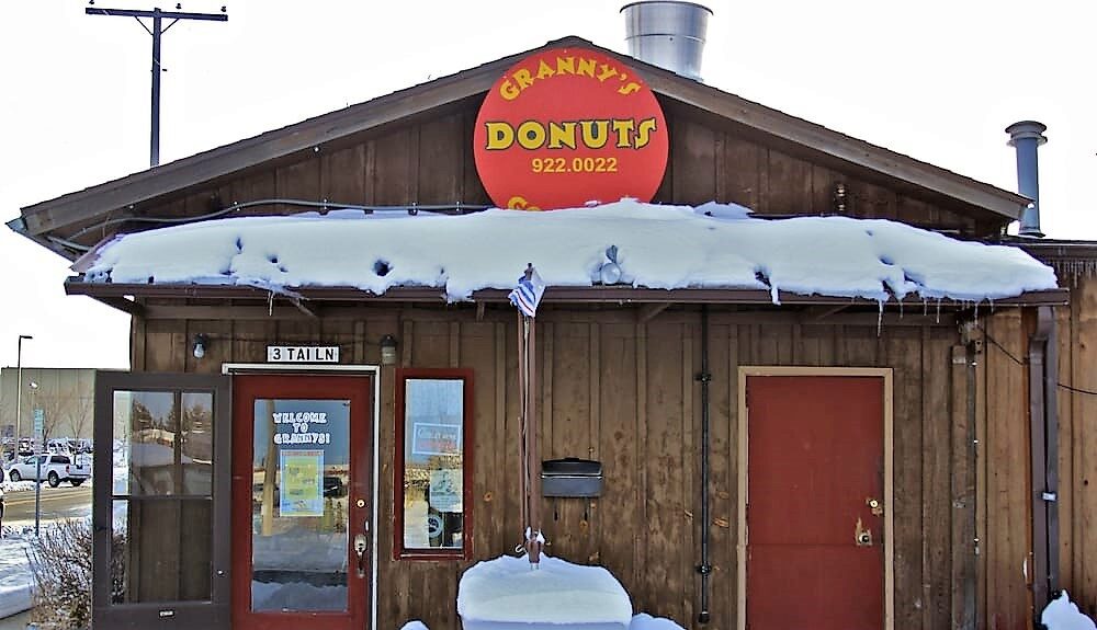
Granny’s Gourmet Donuts
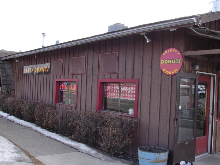
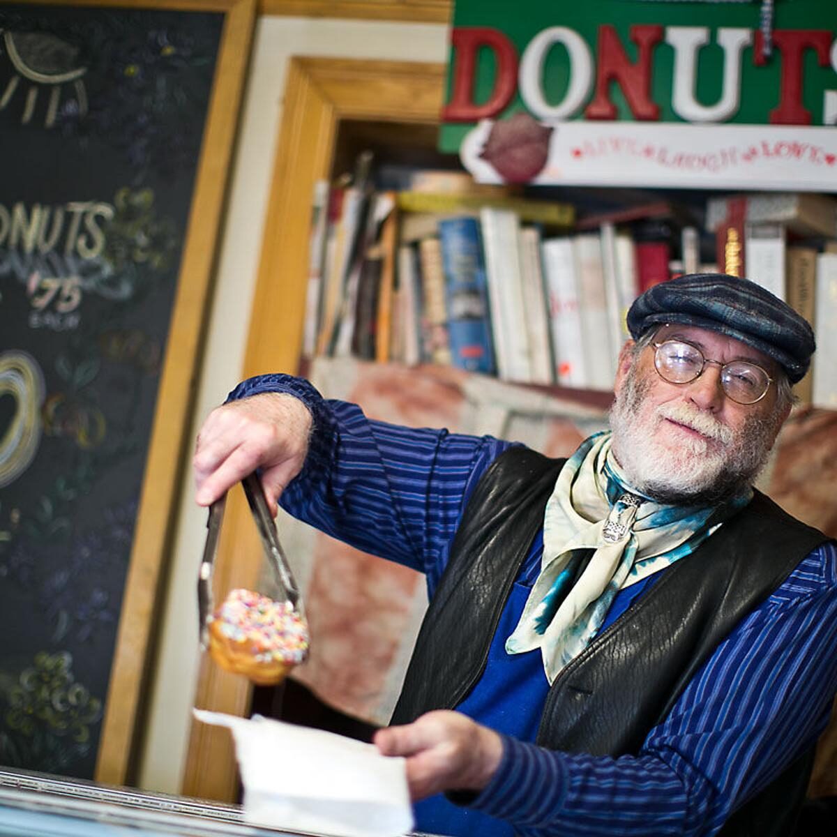
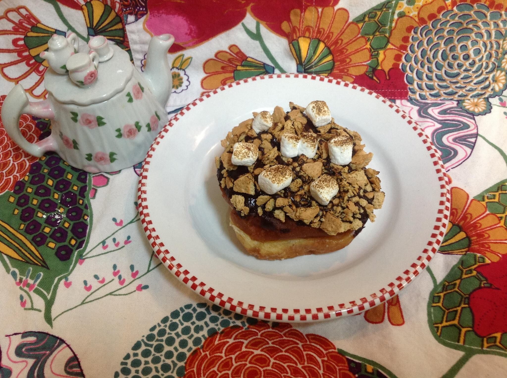
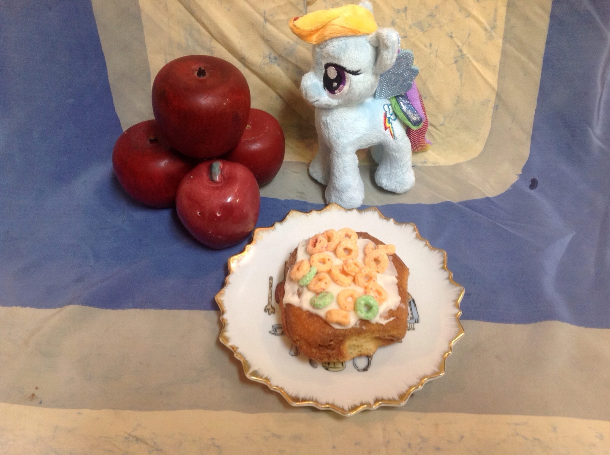
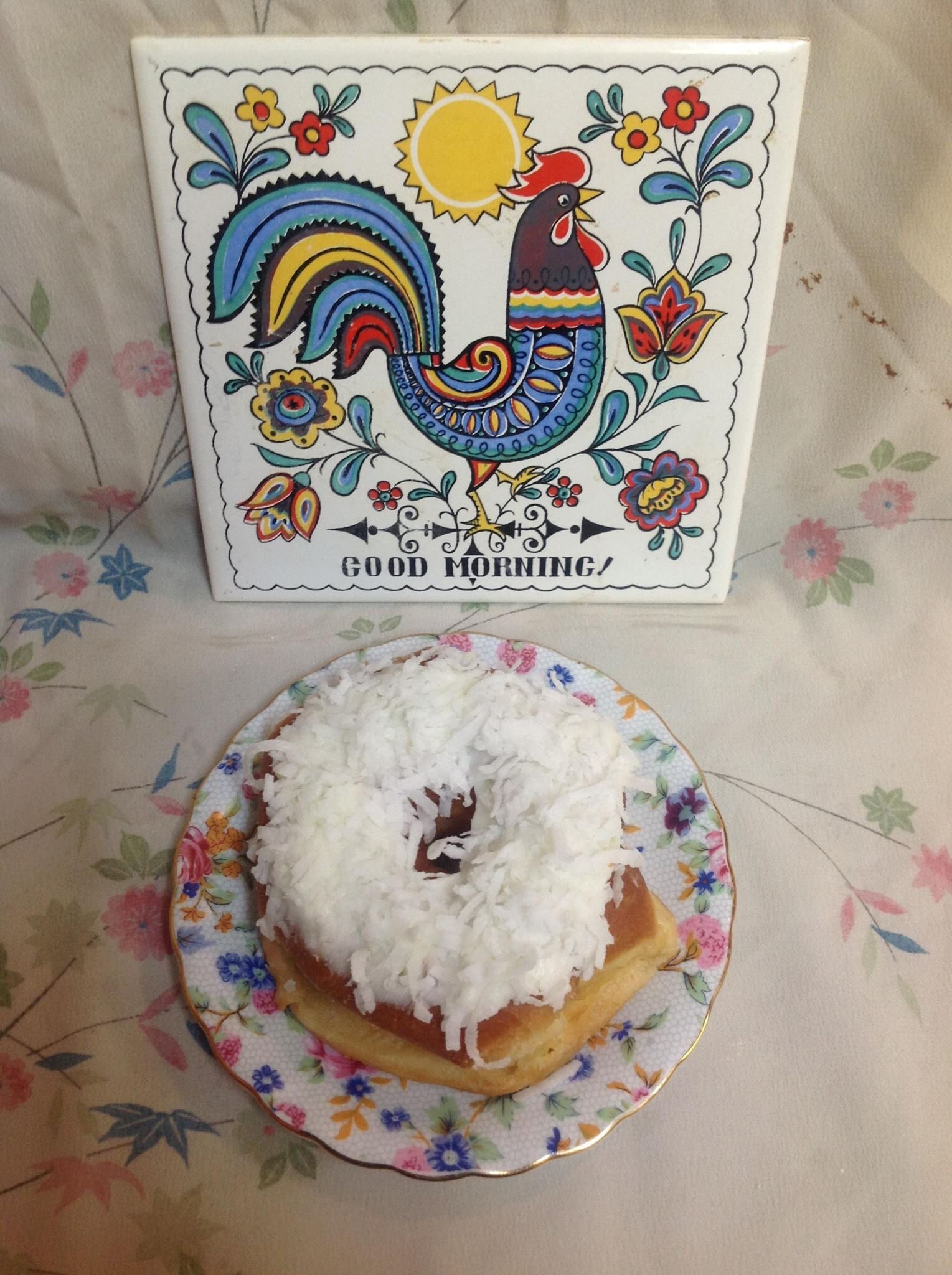
Granny’s Gourmet Donuts has been a Bozeman mainstay for nearly two decades. Shop-owner and self-proclaimed doughnut aficionado Robert McWilliams takes pride in dreaming up the curious creations that become Granny’s famous homemade donut flavors.
When asked what his favorite flavors have been so far, Robert explained, “One that we called the “Long John,” a donut topped with hickory-smoked pulled-pork; or the Breaking Bad-inspired “Heisenberg” doughnut topped with blue pop-rocks. We’ve done lavender, coconut-lime, caramel apple, s’mores, and piña colada. We put a little bit of salt on a batch of margarita-flavored doughnuts once – those were fun. I’m working on apple cider and pumpkin spice… I figured they’d be good flavors for fall.”
Needless to say, Granny’s is a hit with locals and tourists alike. Nestled in a cozy cottage just beside the college campus, Granny’s will serve up creative donut goodness to gracious customers year-round. You just can’t get much better than that.
Distance Unit:
Distance Unit:


A trail starting at Hauser Dam and overlooking the Missouri River.


The Blackfoot River, sometimes called the Big Blackfoot River to distinguish it from the Little Blackfoot River, is a snow-fed and spring-fed river in western Montana.