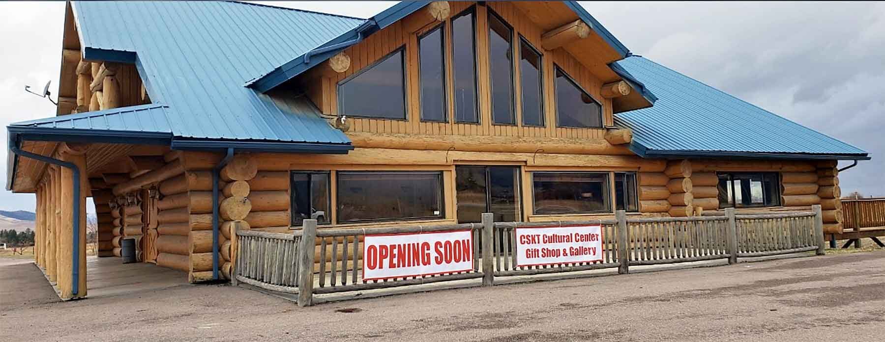
Glacier Peaks Hotel
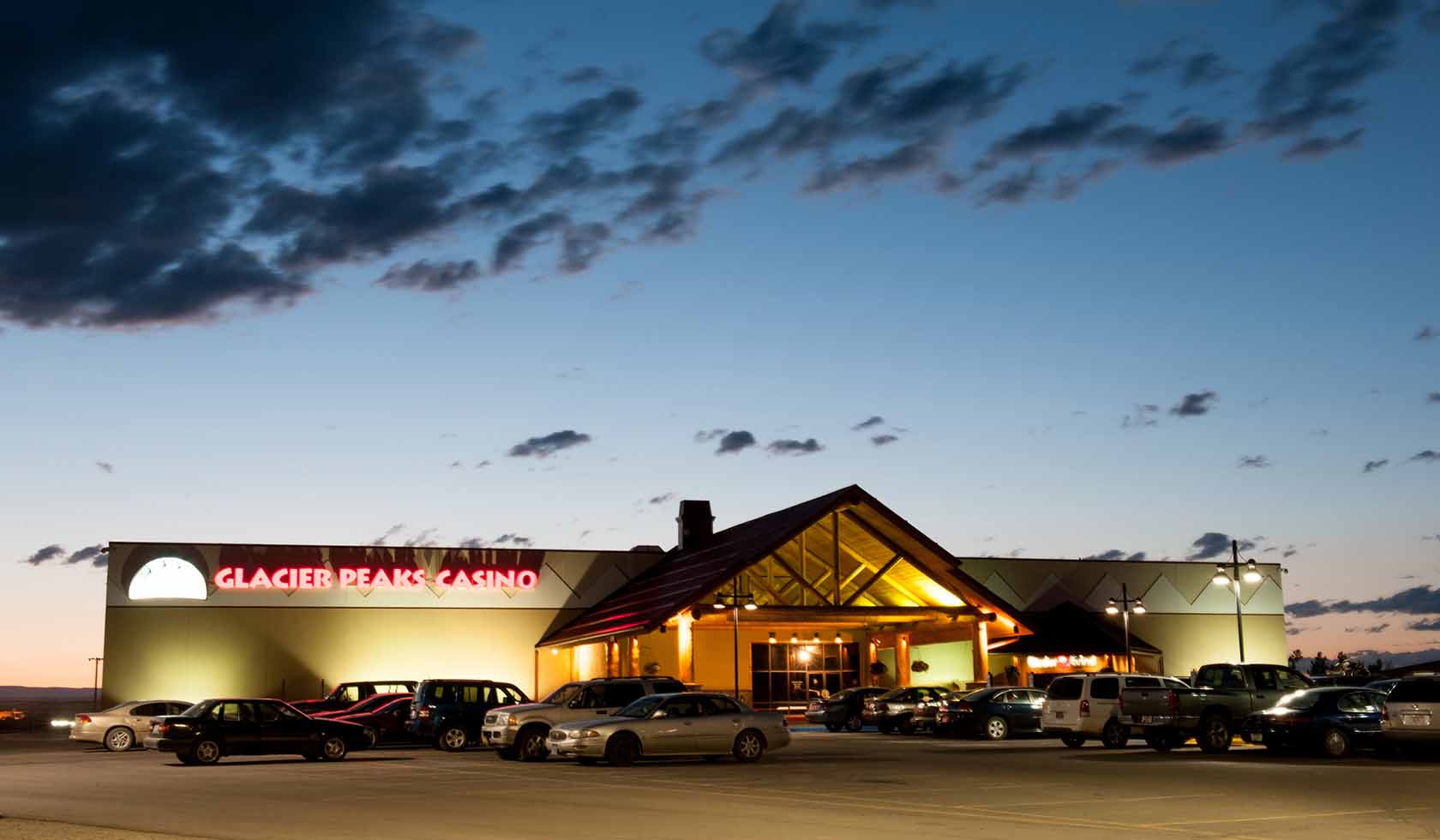
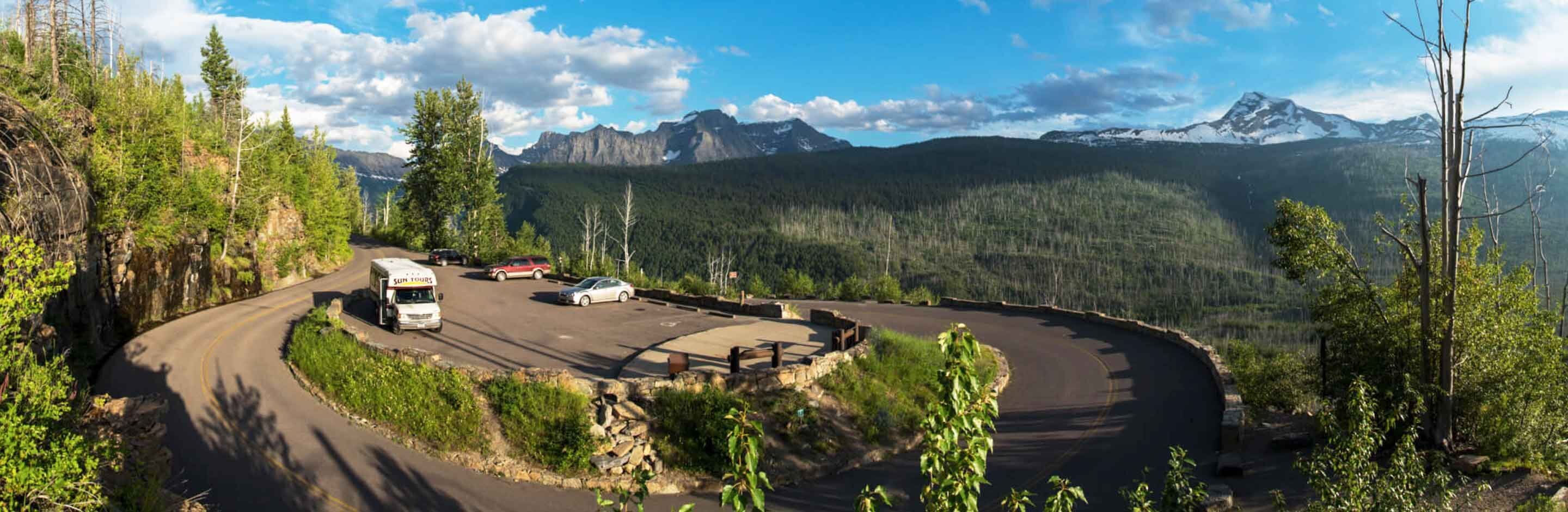
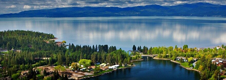
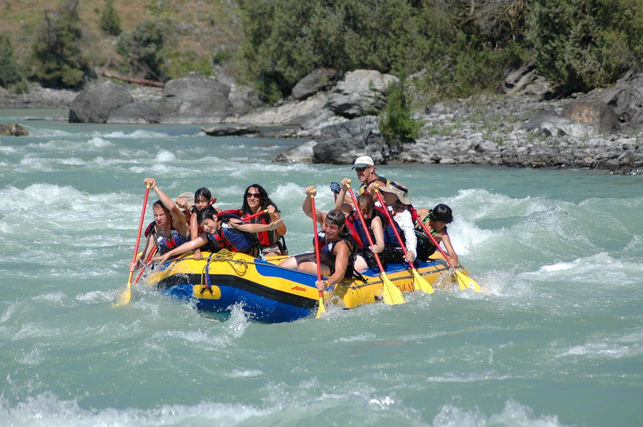
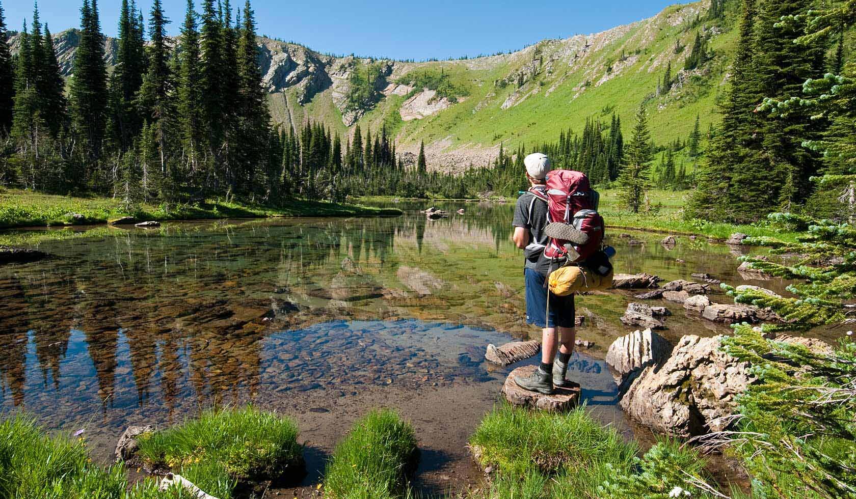
The Glacier Peaks Hotel is the newest hotel in the Glacier area. This beautiful modern hotel is located only 12 miles from Glacier National park, where the entire family can spend hours of enjoyment in the great outdoors. Outdoor activities include fishing, hiking, biking, and visiting the Blackfeet Nation Bison Reserve located on Highway 2 between Browning and East Glacier Park, Montana. Glacier Peaks Hotel is also just 40 minutes from Alberta, Canada, for those looking to do a day trip across the border. Looking to stay and play? Right next door is the Glacier Peaks Casino.
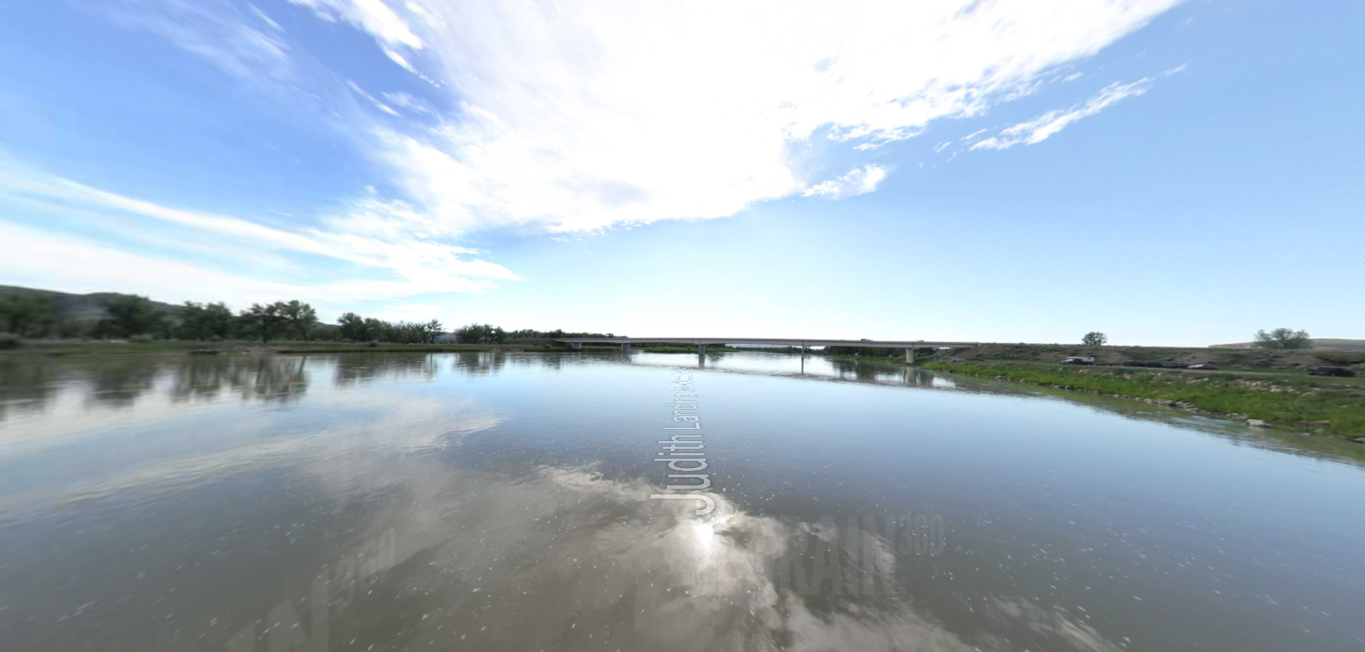
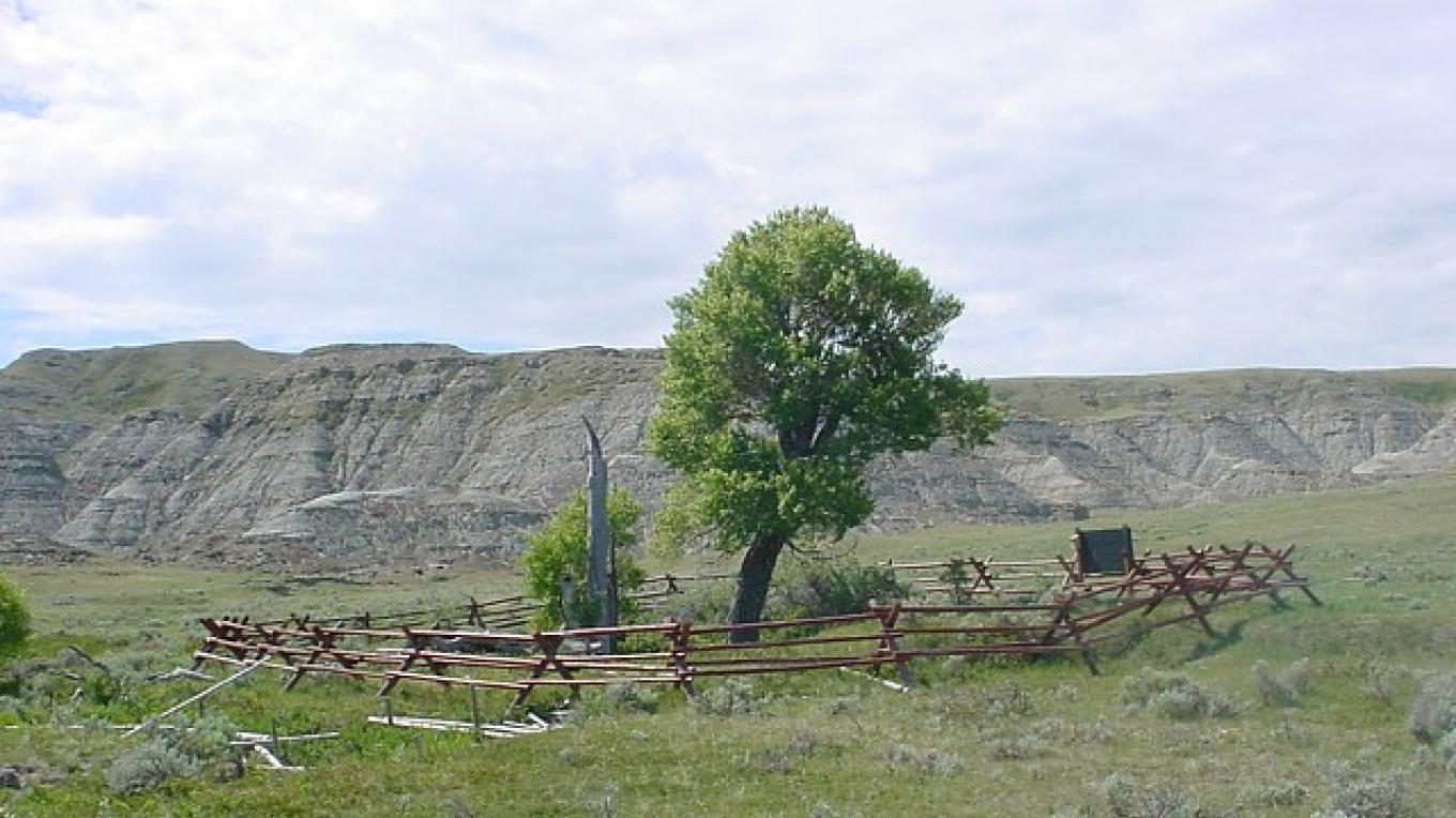
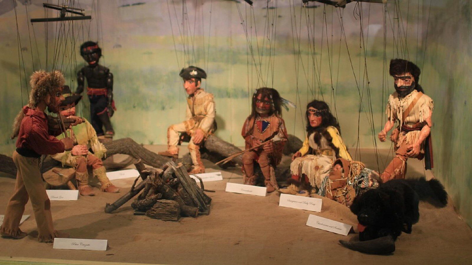
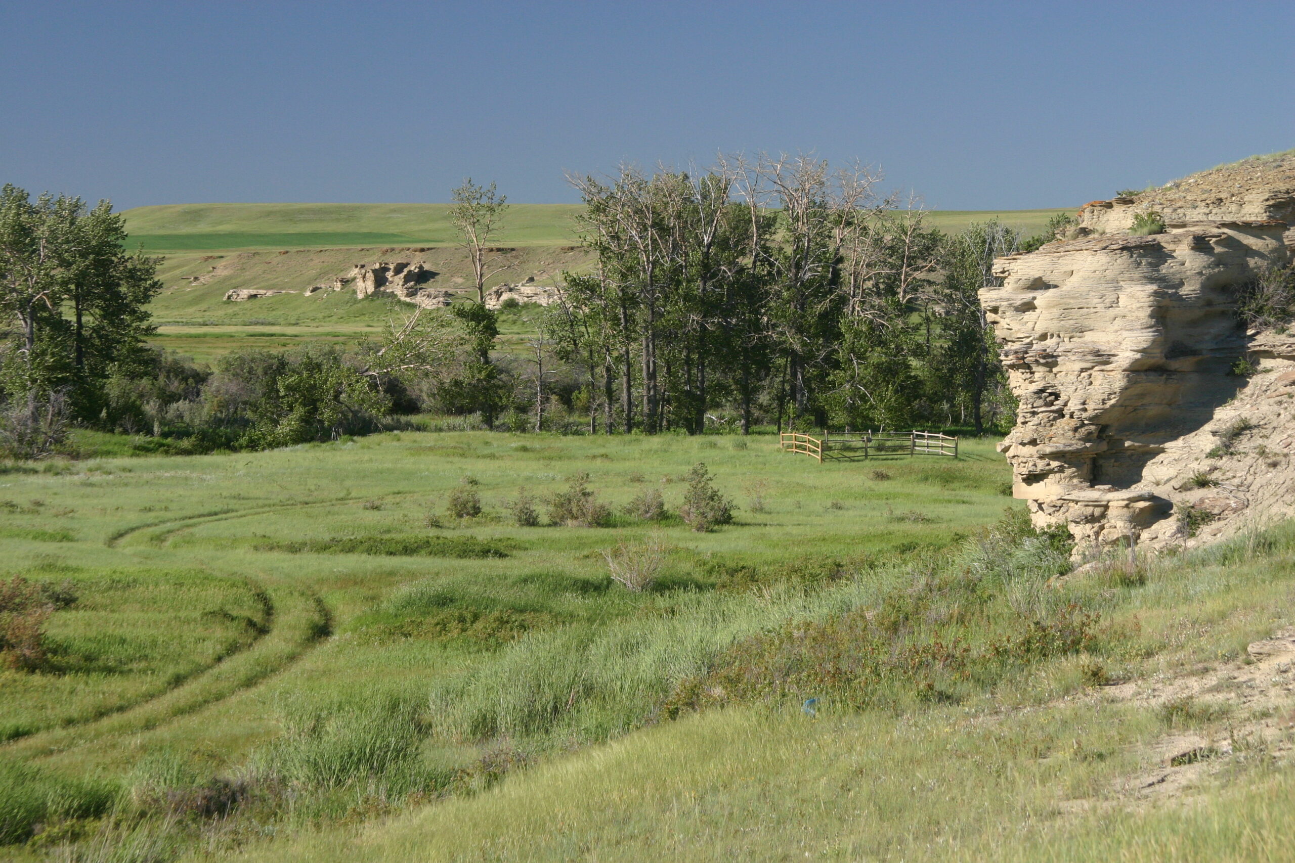
Glacier National Park is home to not just beautiful scenery but a rich history. At Two Medicine you can visit the point where Lewis stayed on the Two Medicine River in search for the source of the Marias River (a tributary river to the Missouri). This area was under the control of the Blackfeet Tribe during the exploration time of Lewis and Clark, and there were several encounters. One occurred during Lewis’ travels to find the source of the Marias River. A fight broke out between the Blackfeet and Lewis group resulting in the death of two Blackfeet citizens.
When done exploring for the day, Glacier Peaks offers all the amenities you could need. Enjoy picking from a wide selection of rooms, all which come with a mini-fridge, a microwave, a 42” screen TV, and free high speed internet. Each suit also offers a desk with an ergonomic desk chair, an iron, and a coffee maker for those doing business on the go.
Distance Unit:
Distance Unit: