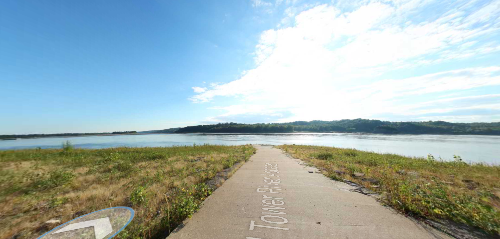
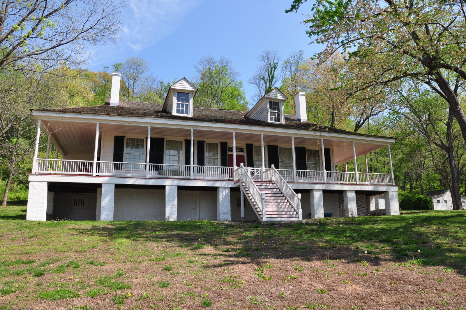
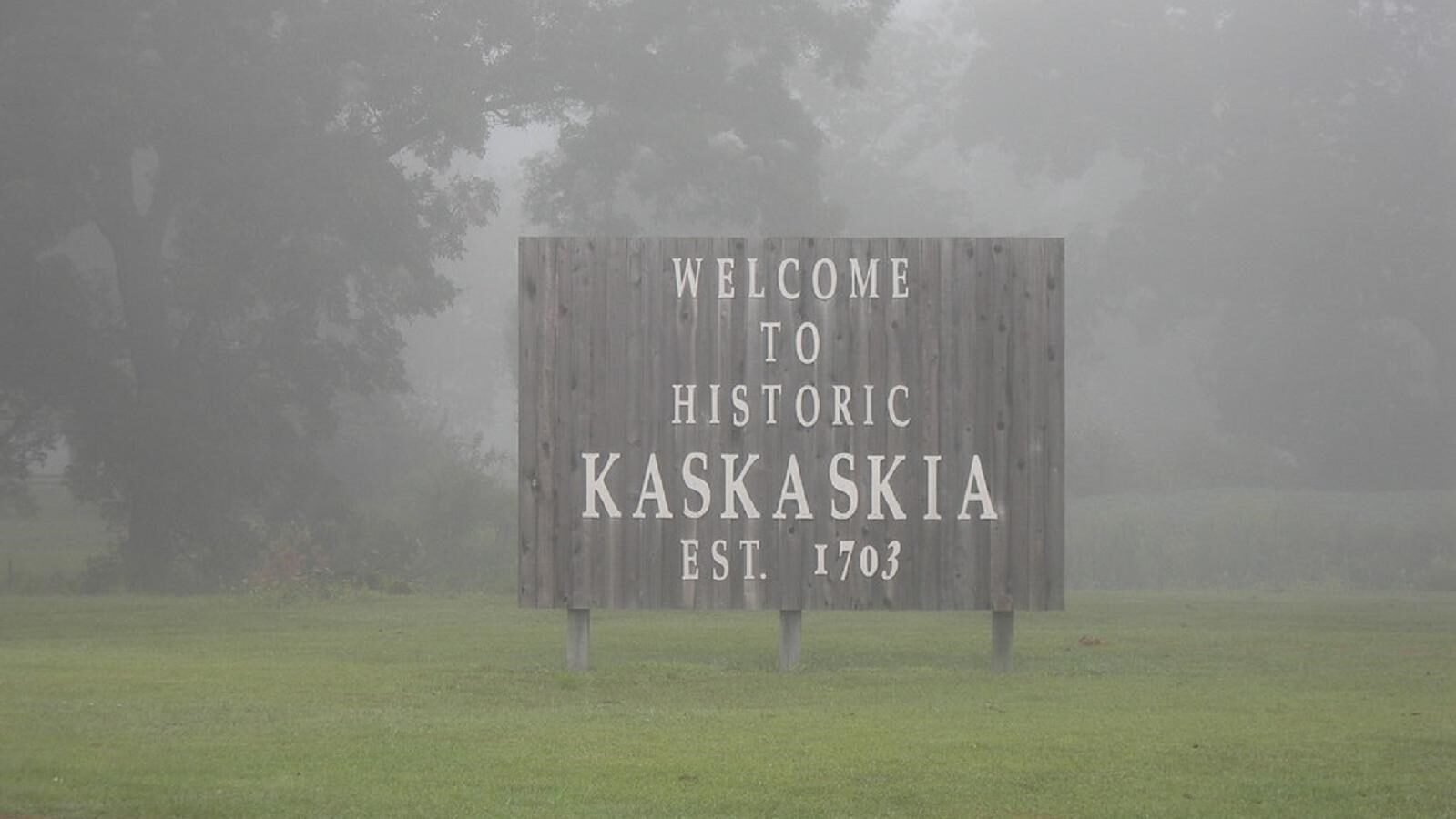
Village of Kaskaskia & Garrison Hill Cemetery

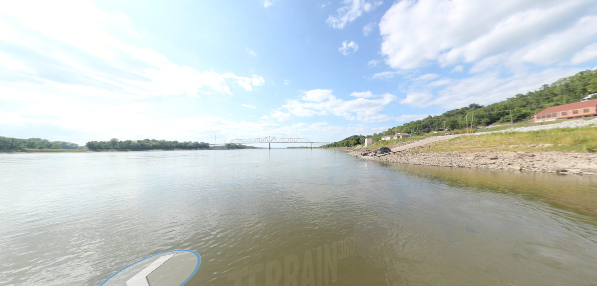
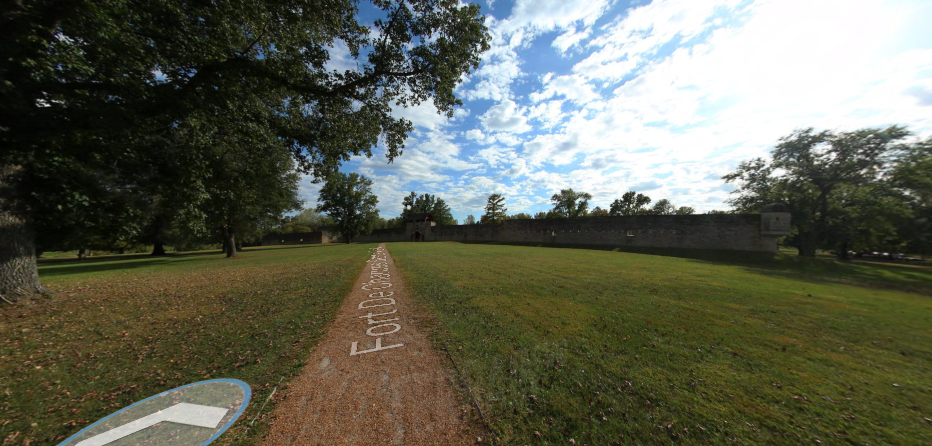
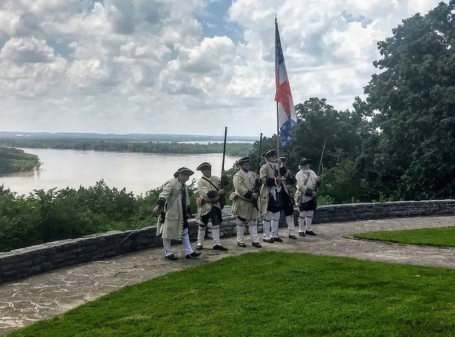
The village of Kaskaskia, near the confluence of the Kaskaskia and Mississippi Rivers, was founded as a missionary post by Jesuits in 1703. Fearing a British attack during the French and Indian Wars, Kaskaskians petitioned the French government for a fort. In 1759, the settlers built Fort Kaskaskia, an earthen redoubt at the top of the bluff. The townspeople dismantled the fort in 1766 so it would not be occupied by the British who were ceded the property by the French after the war.
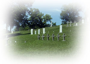
In 1881 as a result of serious flooding, the Mississippi River changed course making Kaskaskia an island and flooding much of the town. In an emergency operation, 3,000 graves in the village were exhumed and remains were buried atop the bluff at the site of Old Fort Kaskaskia–now Garrison Hill Cemetery.
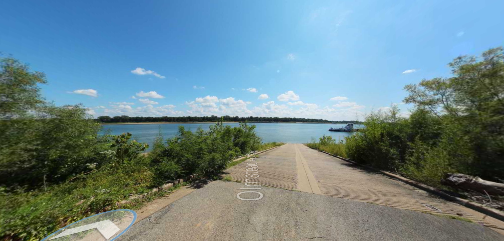
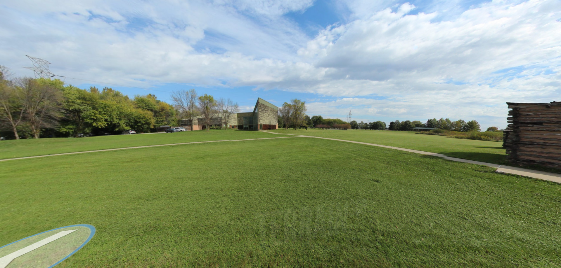
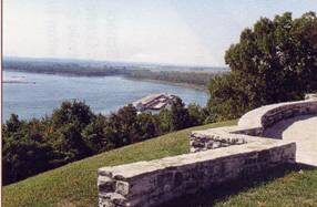
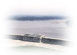
What remains today of Fort Kaskaskia is its earthworks–a still impressive sight. Visitors can admire the foundations of a once small but strong fort, containing three barracks and a kitchen. For guests, it is a powerful feeling to be standing where there was once so much activity. Excavation at this site continues to unearth valuable insights into history. Visitors can picnic near the fort as there are picnic shelters and grills, and stay at the campsite there.
Amenities: Benches/Seating, Electrical Hookup – Boat/RV, Fire Pit, Grill, Parking – Auto, Picnic Shelter/Pavilion, Picnic Table, Playground, Scenic View/Photo Spot, Trash Dumpster, Trash/Litter Receptacles, Water – Drinking/Potable
Distance Unit:
Distance Unit: