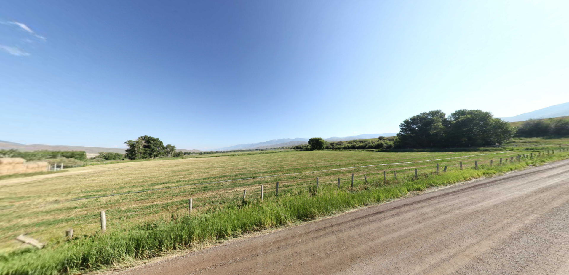
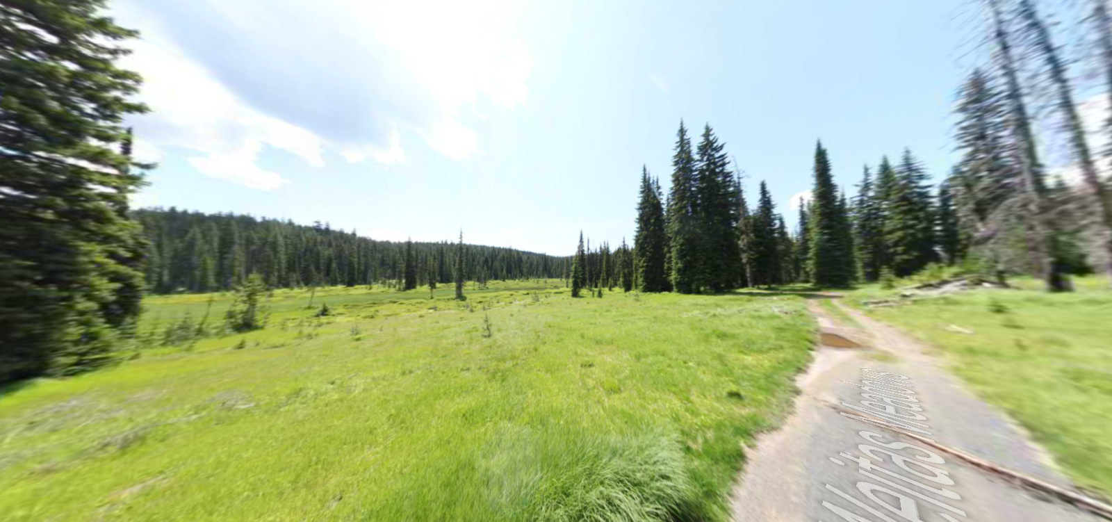
First Flag Unfurling Site
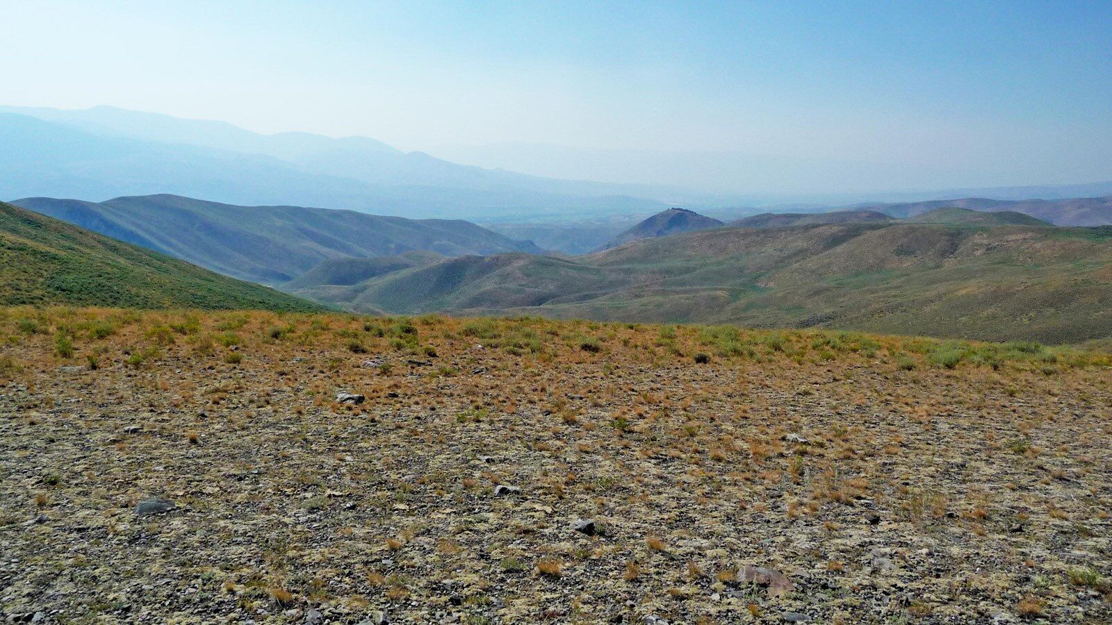
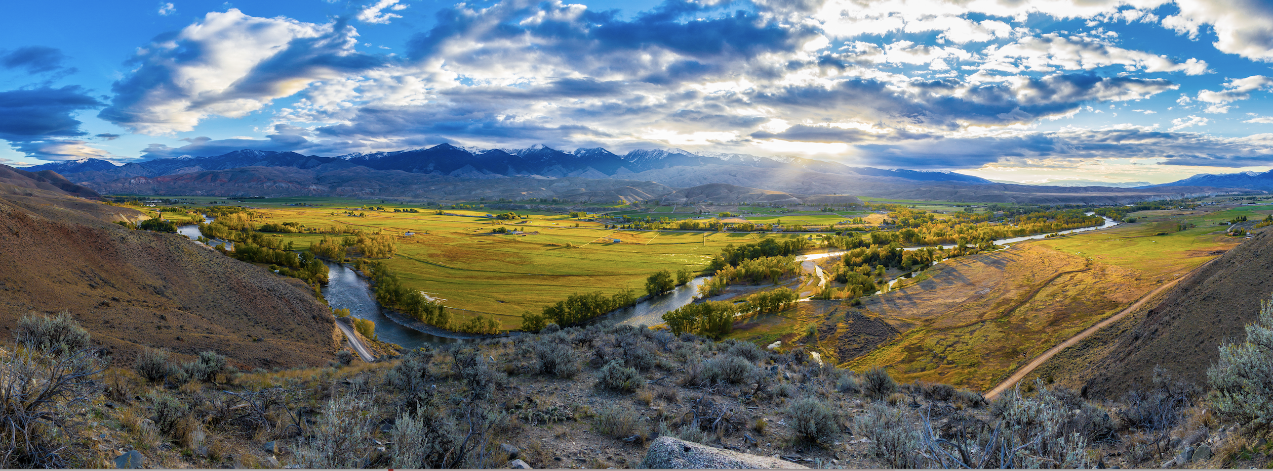
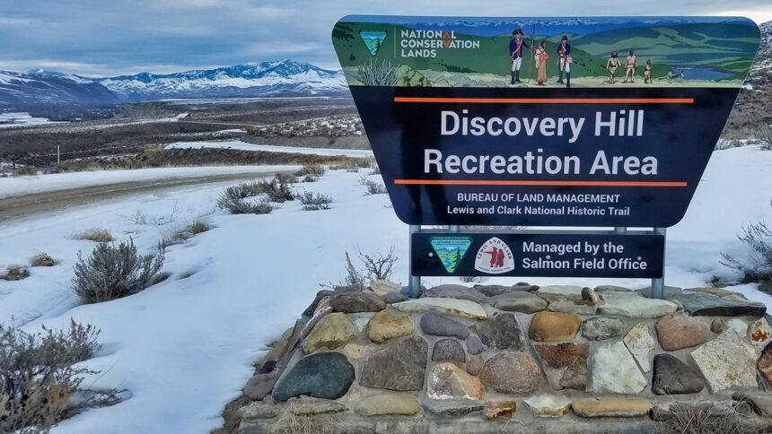
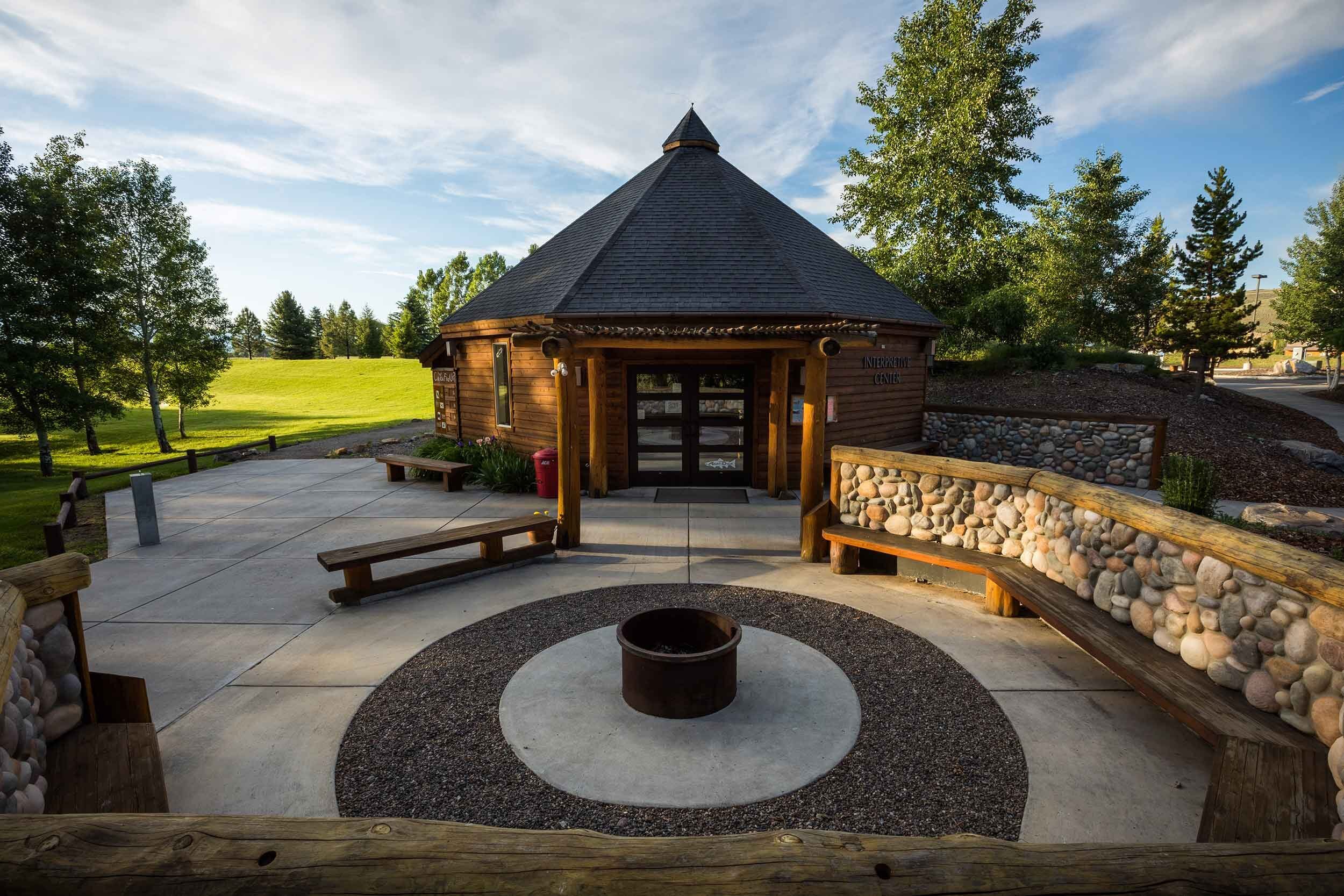
The First Flag Unfurling Site is a five-acre National Register-listed property located on BLM land adjacent to the Salmon-Challis National Forest. A historical marker and interpretive wayside exhibit are located next to a pull-off on NF-185, also known as Warm Springs Road. Despite the name and designation, there is no supporting evidence that this was the actual site Lewis unfurled the flag. However, it provides a good overview of the terrain and general area occupied by the Shoshone and traversed by the expedition.
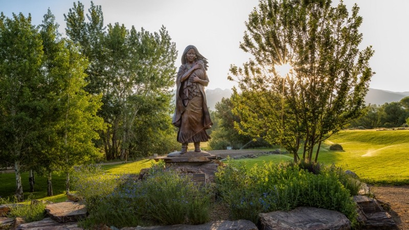
On August 13, 1805, Lewis finally made contact with the Shoshones, encountering a group of “two women, a man and some dogs.” Signaling his peaceful intentions, Lewis set aside his pack and rifle, and took a flag which he “unfurled and avanced singly towards them.” Although the small group initially fled, Lewis’ efforts eventually paid off, and he received a warm reception from the Shoshone chief Cameahwait at his camp. Convincing the wary Shoshone to return across the continental divide with him and then assist the expedition in portaging over Lemhi Pass proved to be a tremendous test of Lewis’ skillful diplomacy. However, it was Sacagawea’s joyful reunion with her brother Cameahwait that cemented the trust and goodwill between the two groups. Subsequently, Lewis and Clark were able to barter for 29 or 30 horses to transport all of their supplies through the mountains. They also secured the services of a guide, whom they nicknamed “Old Toby.”
The Corps of Discovery departed Cameahwait’s Shoshone camp on August 30.
Distance Unit:
Distance Unit:
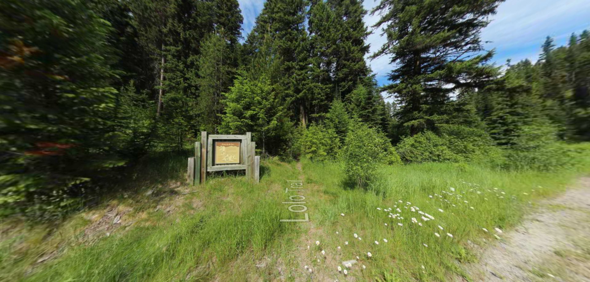
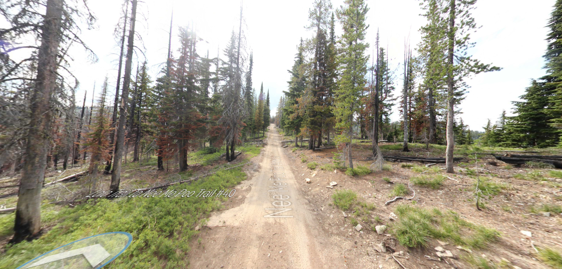
Embark on a historic trail dating back to August 9, 1805, when Lewis, accompanied by a scouting party, ventured away from the main group. Their mission: to discover a portage and establish contact with the…
Tucked 35 miles northeast of Pierce, just off Forest Service Road 250, Weitas Campground offers a tranquil escape on the shaded banks of Weitas Creek near the North Fork of the Clearwater River. Accessible via…