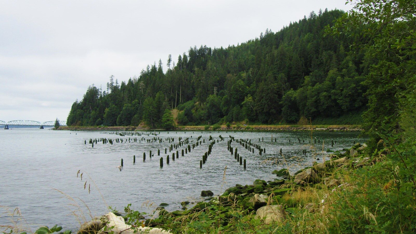
Dismal Nitch

Dismal Nitch is a High Potential Historic Site on the Lewis and Clark National Historic Trail.
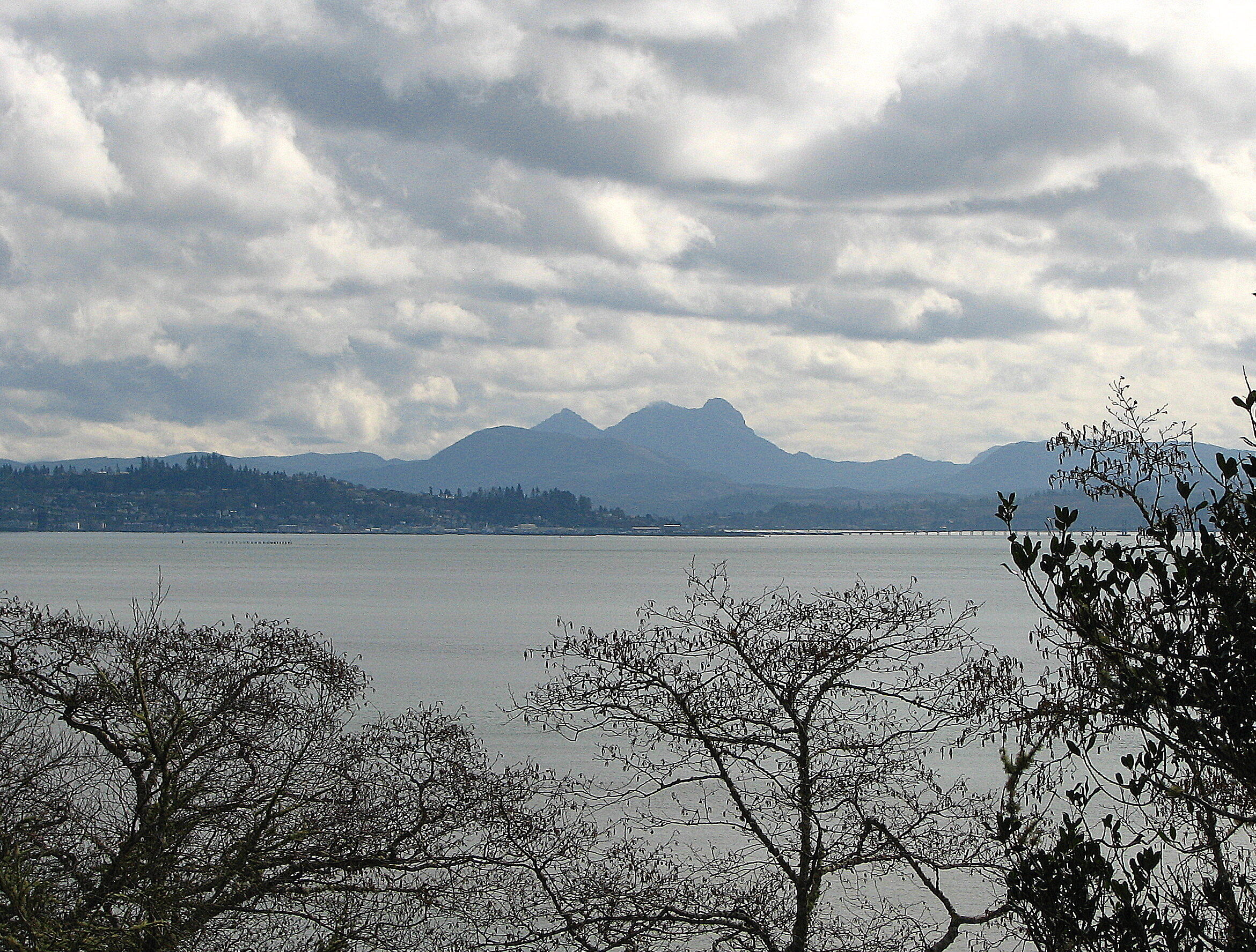
Miserable and soaked to the skin, the men under Meriwether Lewis and William Clark’s command had followed the shoreline of Shallow Bay (now called Grays Bay) for two days in an attempt to round modern-day Point Ellice (Point Distress in the journals) before the bad weather and rough waters forced them to turn back. They backtracked to the location they dubbed “Dismal Nitch” (Hungry Harbor) where they were able to unload their canoes and make camp. Clark describes the event in his journal, saying that, on November 10, 1805:
“the wind rose from the N. W. and the waves became So high that we were compelled to return about 2 miles to a place we Could unload our Canoes, which we did in a Small nitch at the mouth of a Small run on a pile of drift logs…wind verry high […] with most tremendious waves brakeing with great violence against the Shores, rain falling in torrents, we are all wet as usial and our Situation is truly a disagreeable one; the great quantites of rain which has loosened the Stones on the hill Sides, and the Small Stones fall down upon us, our canoes at one place at the mercy of the waves, our baggage in another and our Selves and party Scattered on floating logs and Such dry Spots as can be found on the hill Sides, and Crivices of the rocks.”
As readers might imagine, this was an incredibly demoralizing setback for the crew. At this point in their journey, they had run out of fresh food, and their clothes were quite literally rotting away. Getting around Point Distress would have allowed them to meet up with one of the last trading ships of the season and refresh their supplies. Unfortunately for the men, the weather ensured they wouldn’t make it in time.
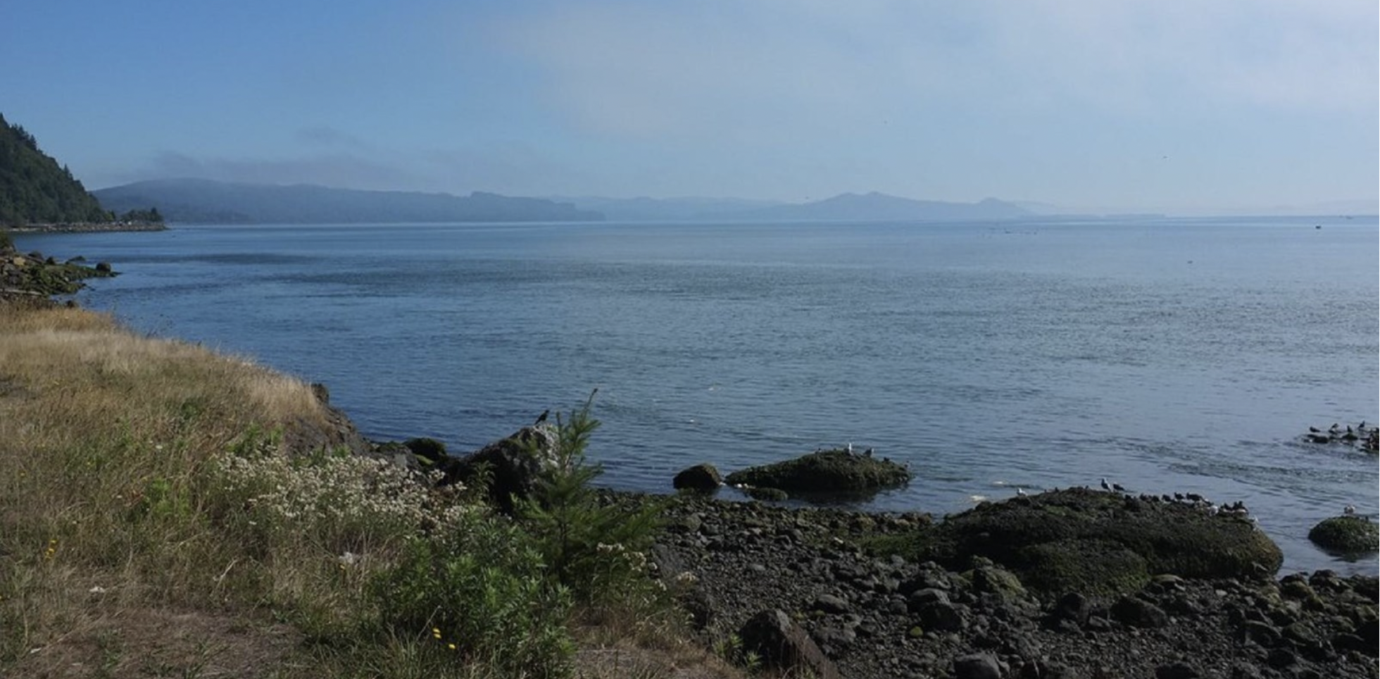
It would be five days later, on November 15, that a break in the weather finally allowed the men to move forward. Once the wind and river calmed, Clark ordered the canoes loaded as quickly as possible and the Corps was able to make it around Point Distress. They landed on a sandy beach where they established Station Camp.
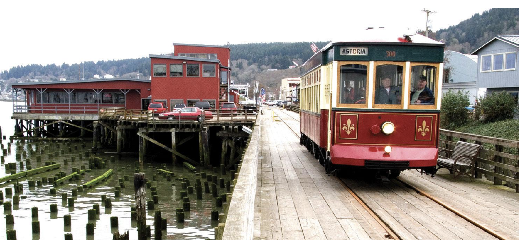
Today, the Corps of Discovery’s stay at Dismal Nitch is memorialized at the Dismal Nitch Rest Area. The site is located on SR 401, ten miles south of Naselle, Washington. Visitors will find interpretive wayside exhibits about the expedition, as well as a short trail that leads to the approximate location of Lewis and Clark’s campsite.

Distance Unit:
Distance Unit: