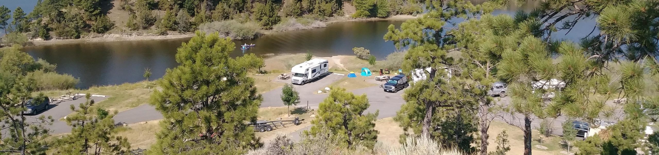
Canyon Ferry Reservoir
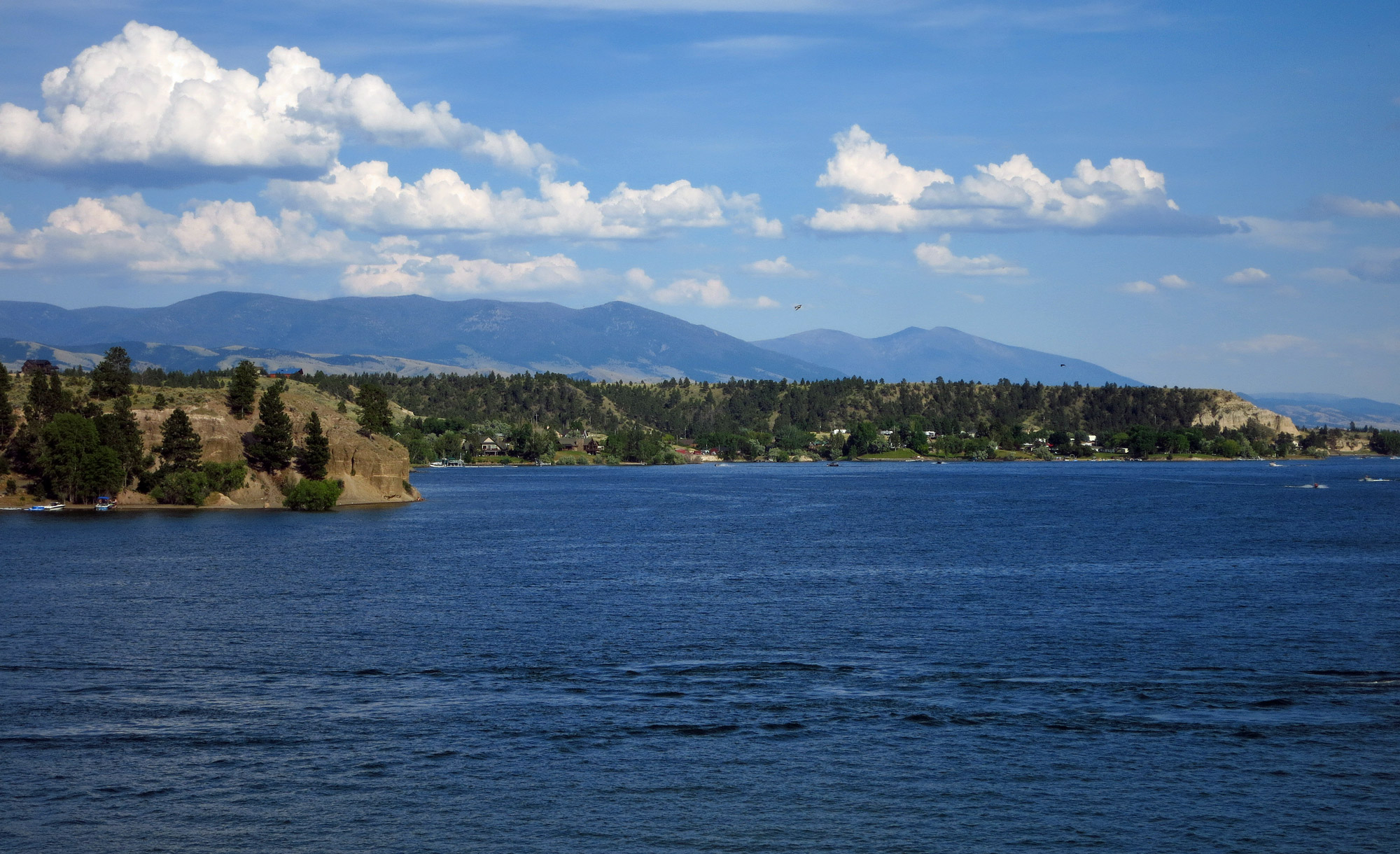
Canyon Ferry Reservoir is a significant recreation area in Montana thanks to its proximity to Helena, Great Falls and Butte. What is more, given its size and location, it is considered as one of the most popular lakes in the state. Around the reservoir, there are 24 recreation sites managed by the Bureau of Reclamation. In July of 1805 the Lewis and Clark Expedition travelled through the Canyon Ferry area with the aim to explore and map the Missouri River. Lewis described that area as a beautiful and extensive plain country of about 10 to 12 miles wide which extended upwards “further than an eye could see”.
Numerous state recreation areas are located around Canyon Ferry Lake, and some of them have Lewis and Clark interpretation. When you come visit the Reservoir, you will be able to experience the abundance of wildlife and fishing opportunities available on these public lands. What is more, the area is said to be one of the best in the country for viewing large concentrations of bald eagles. Not to mention its excellent accessibility, with numerous special designated access sites all around the lake!
Distance Unit:
Distance Unit:


The Blackfoot River, sometimes called the Big Blackfoot River to distinguish it from the Little Blackfoot River, is a snow-fed and spring-fed river in western Montana.

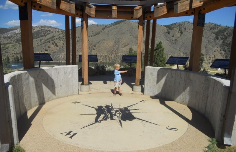
A trail starting at Hauser Dam and overlooking the Missouri River.