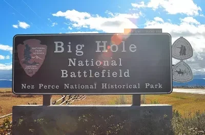
Big Hole National Battlefield
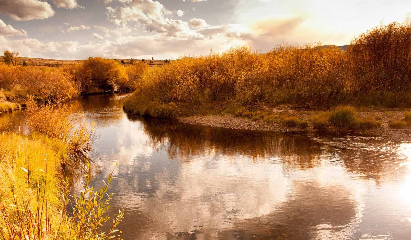
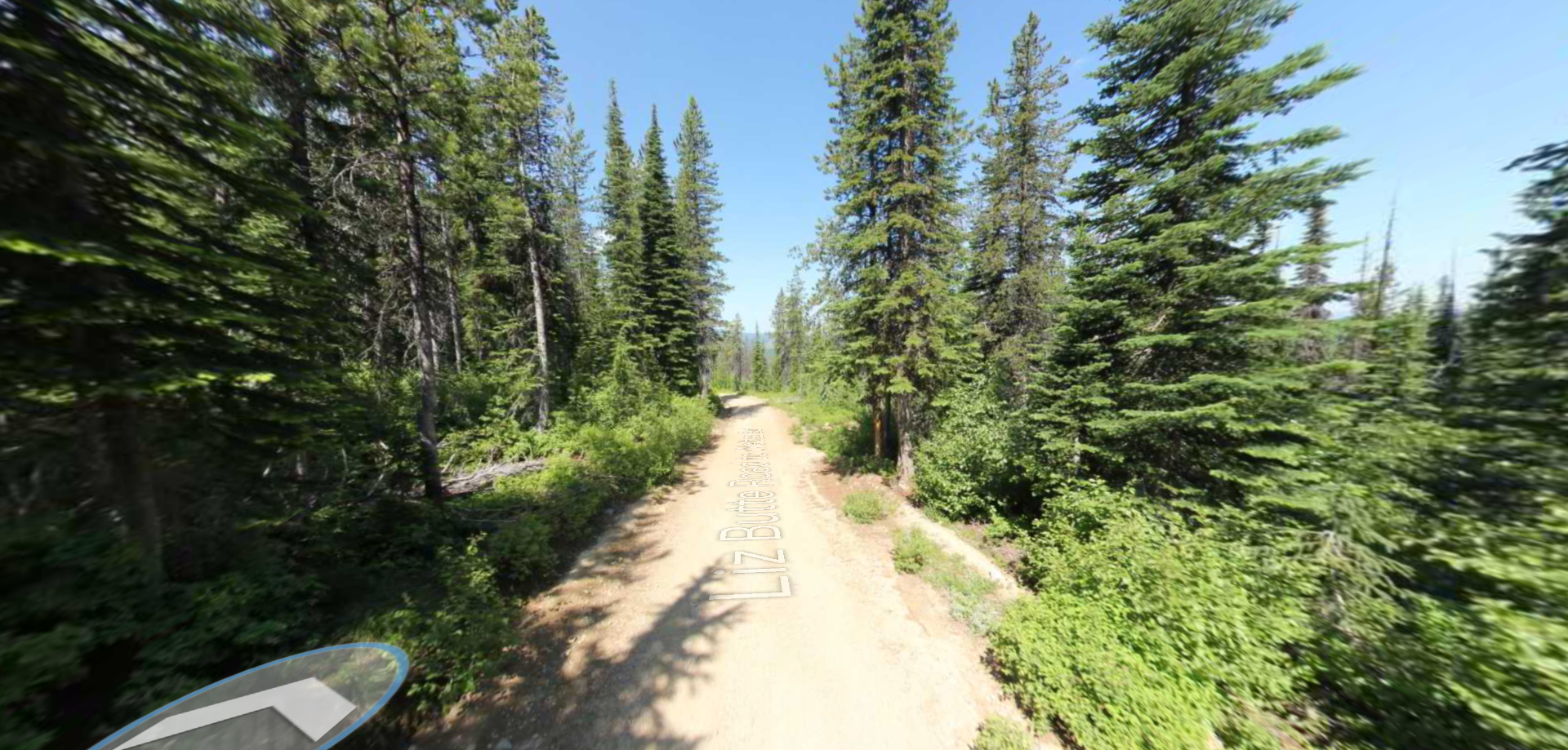
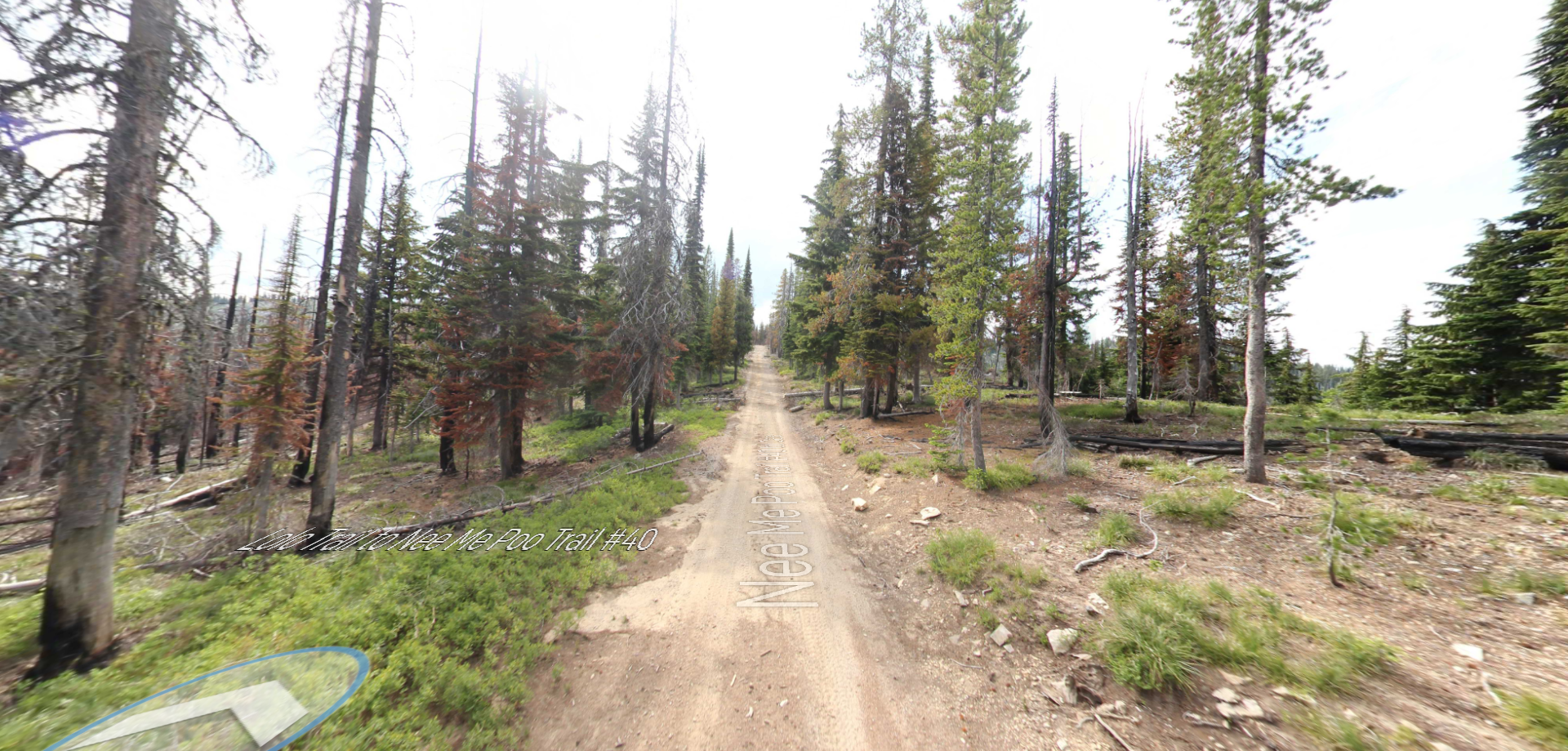
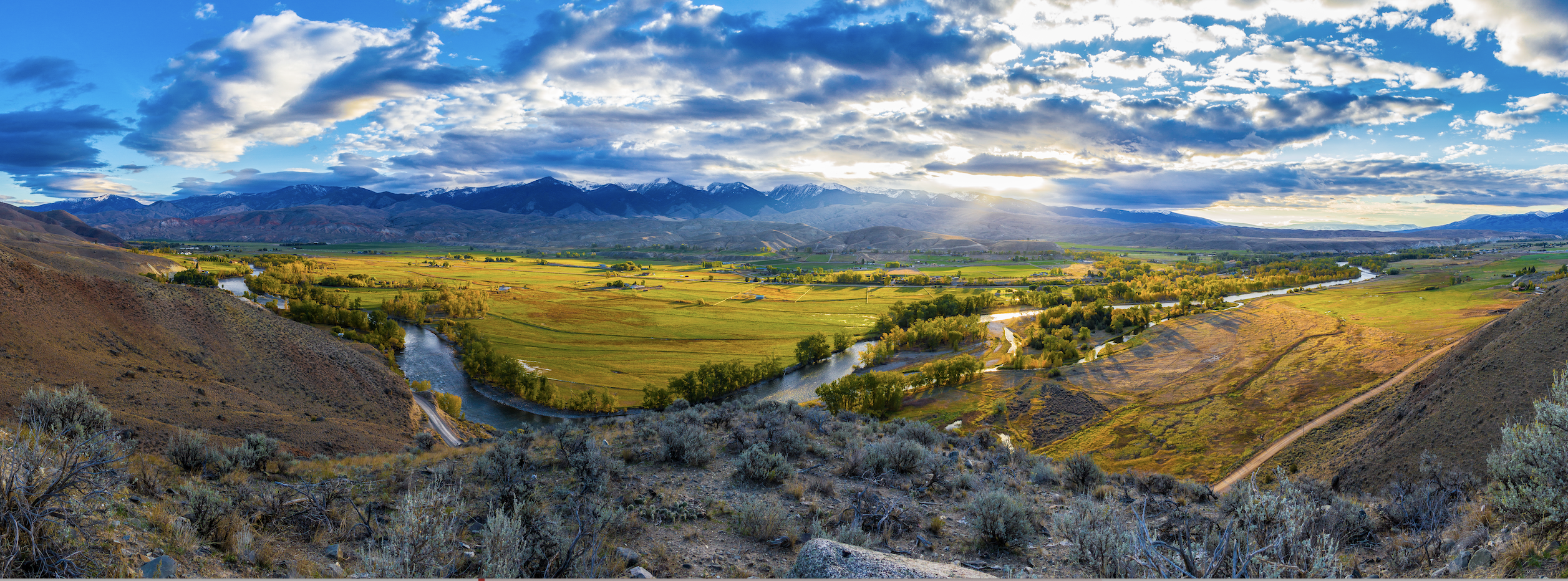
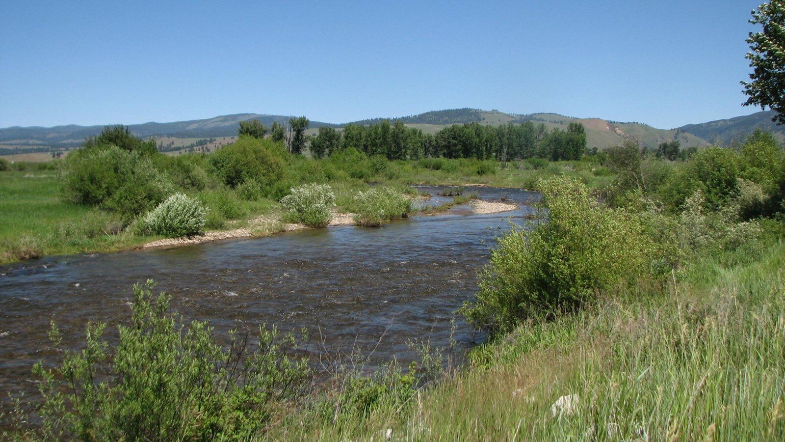
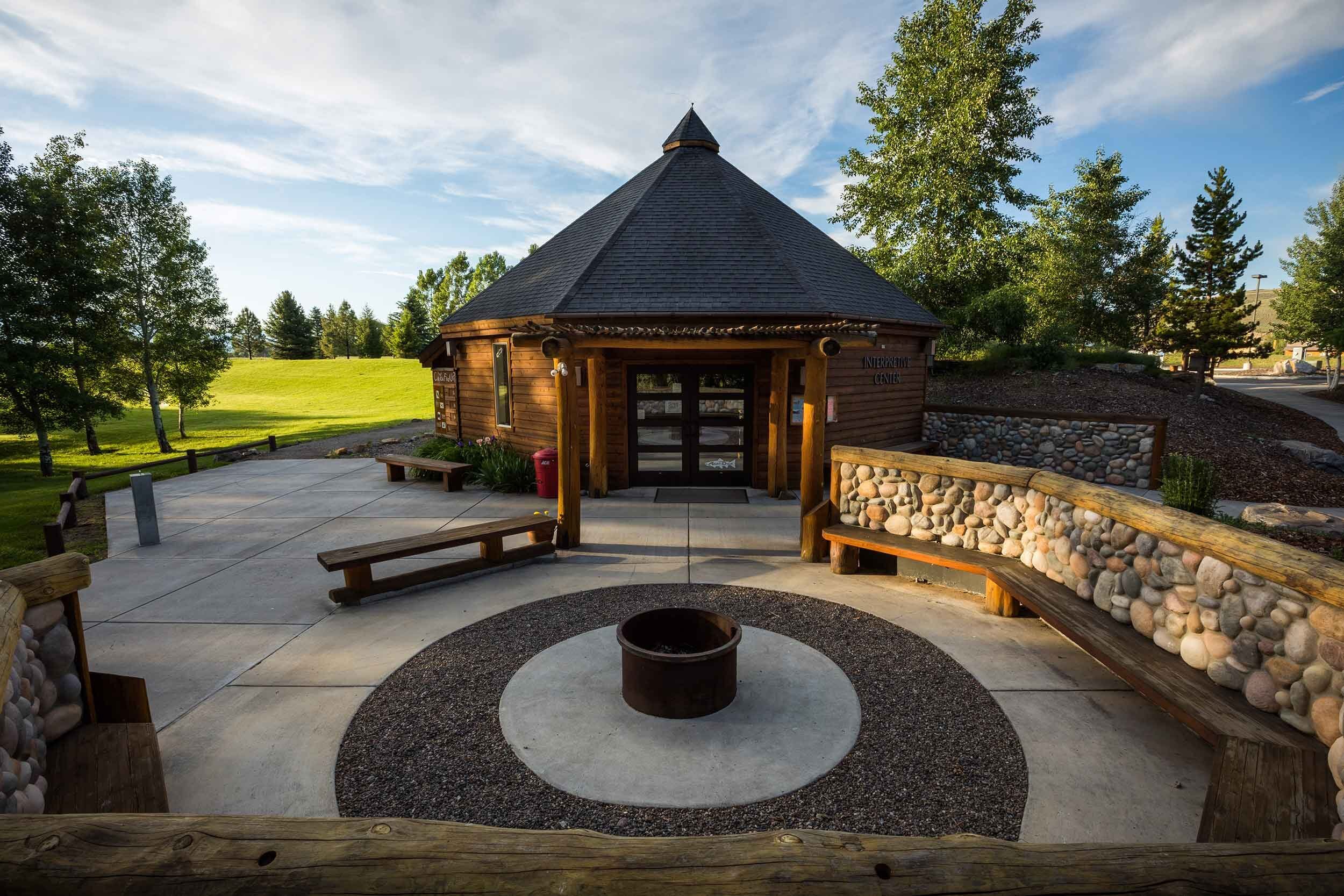
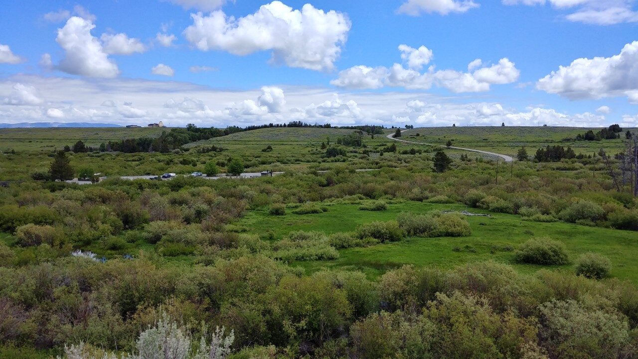
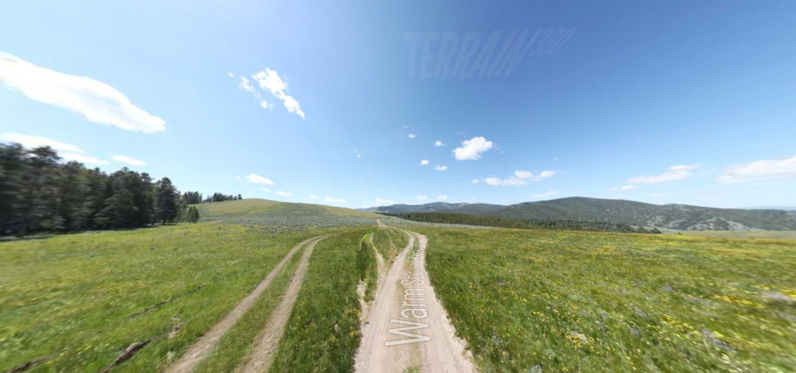
This national park aims to preserve a Nez Perce War battlefield which happened on August 9 and 10 in 1877, between the Nez Perce and the US Calvary. It is an extremely significant site for the Tribe as it serves as a memorial to the people who fought and died here. Described as a beautiful, but also a very sad place filled with so much US history. First, make sure to stop at the visitor center, which overlooks the vast battlefield. The view is both stunning and sobering, with the valley being surrounded by awe-inspiring peaks, such as the Anaconda Range, the Beaverheads, and the Bitterroots. The site provides a 26-minute film that gives orientation to the park and its story putting you in the context of what happened; there are also self-guiding trails that take you to points of interest at the Battlefield.
Along the way, you will have the opportunity to slow-down while gazing at the mountains and reflect on the events that happened at the site. The Battlefield can definitely make you feel like you are reliving a piece of history, with various booklets and museum available, as well as knowledgeable staff around.
Distance Unit:
Distance Unit:
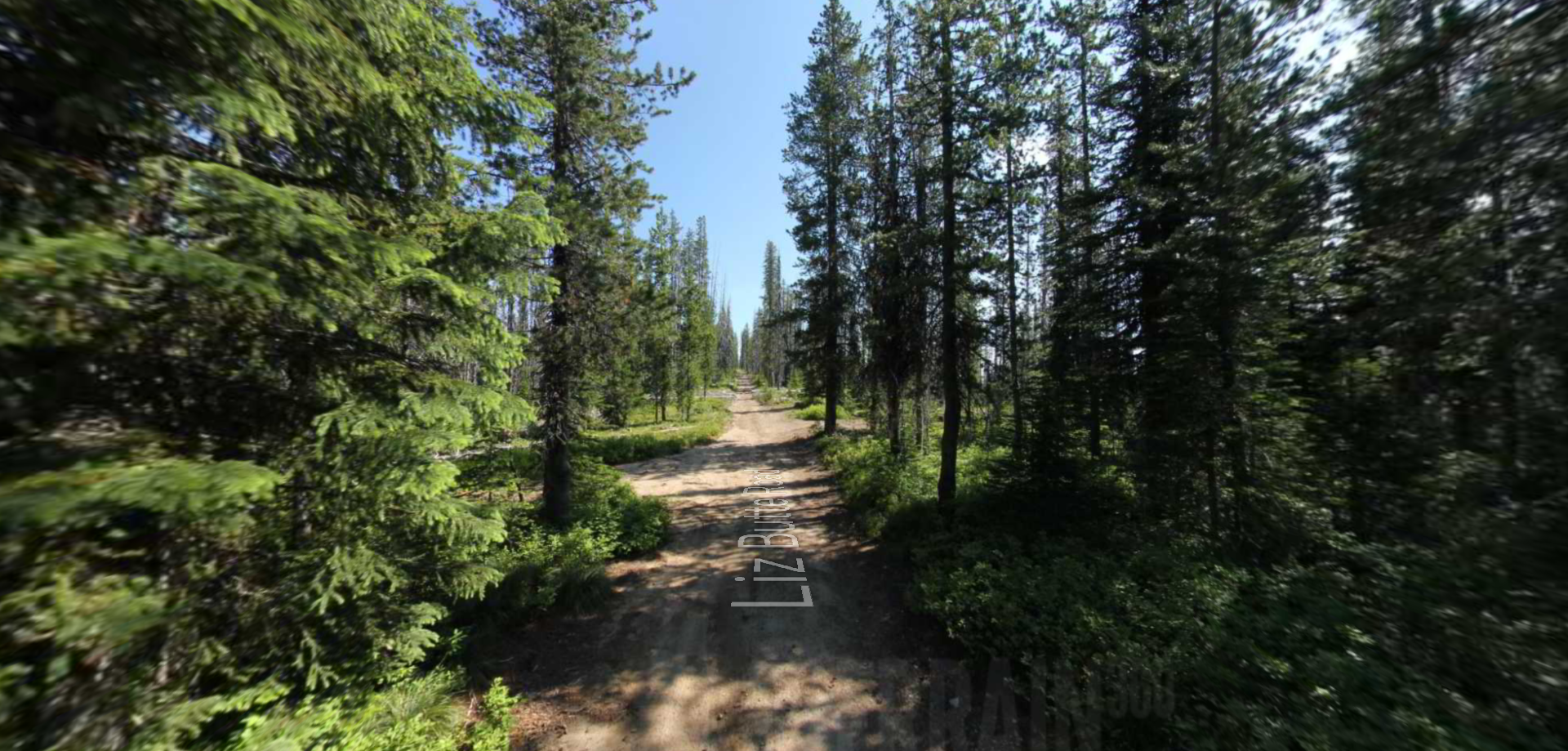
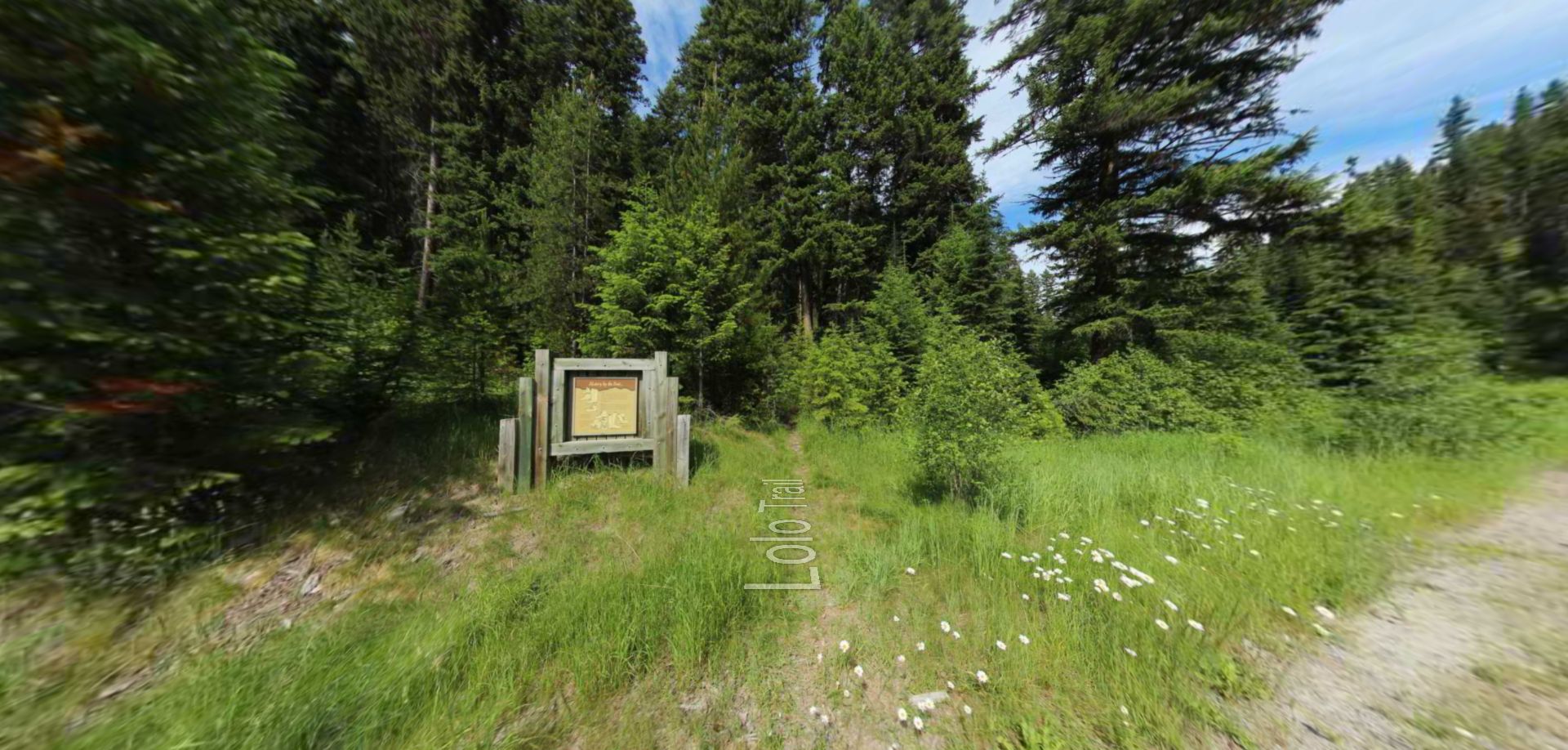
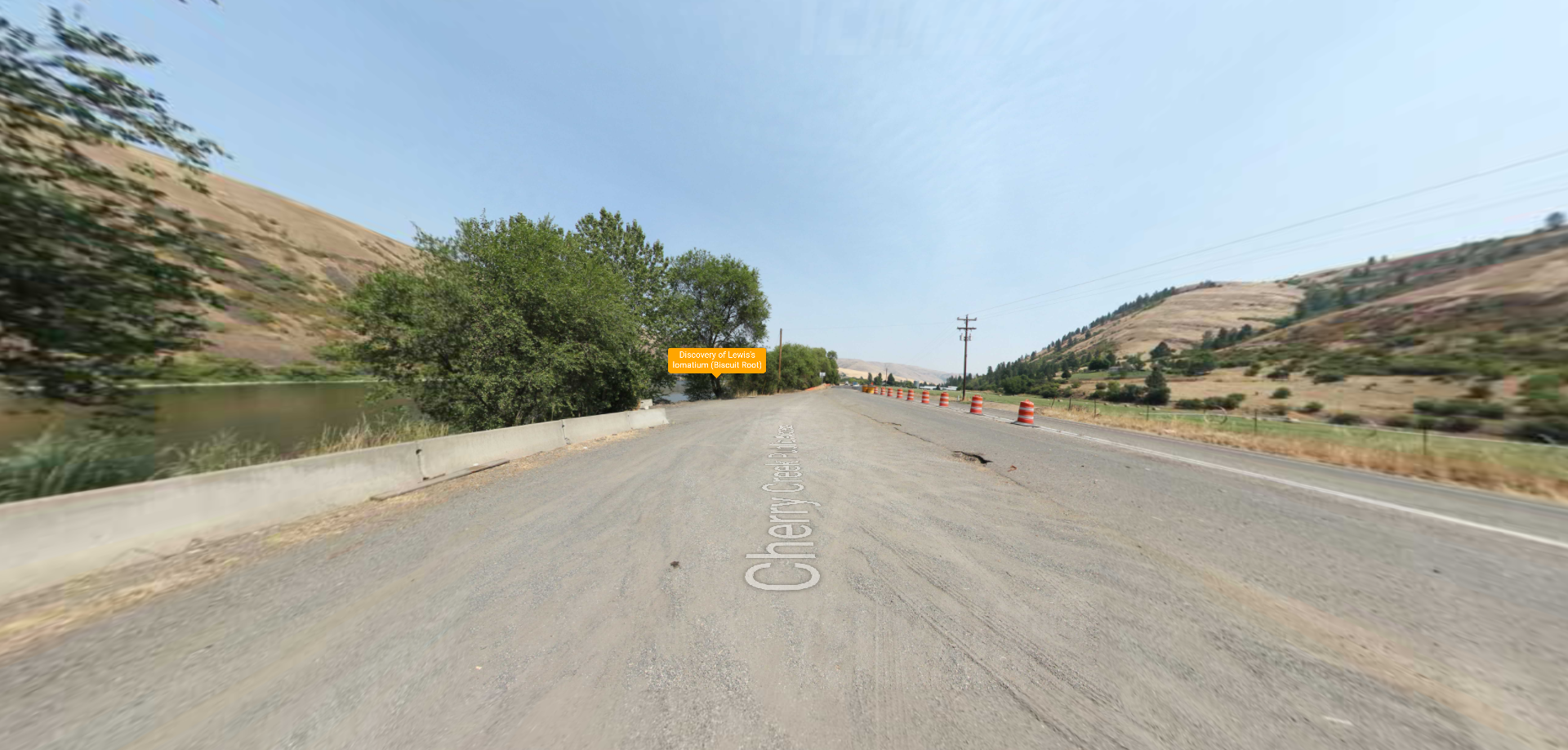
Embark on a historic trail dating back to August 9, 1805, when Lewis, accompanied by a scouting party, ventured away from the main group. Their mission: to discover a portage and establish contact with the…
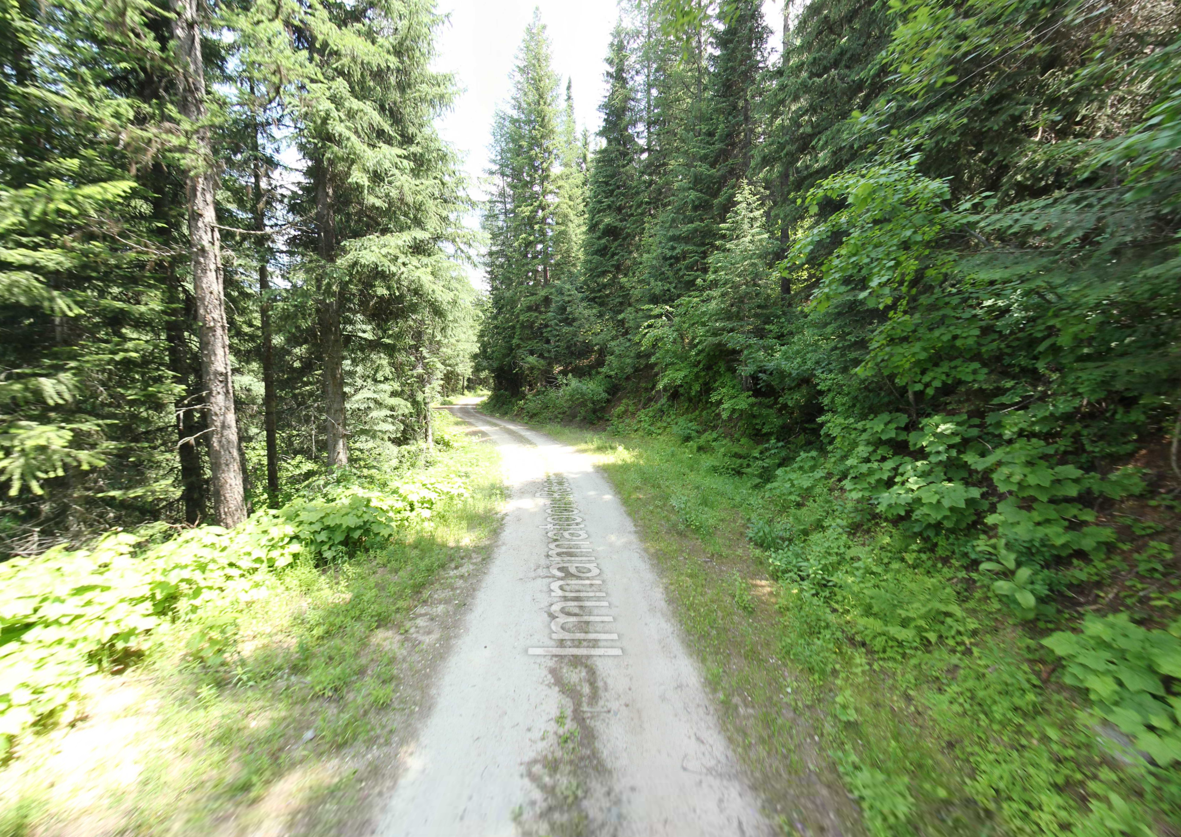
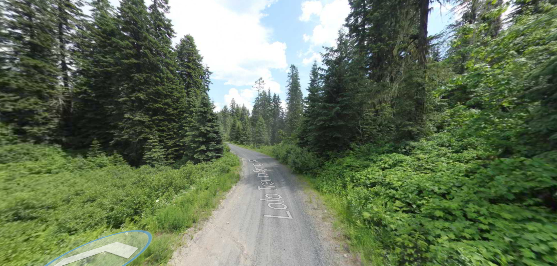
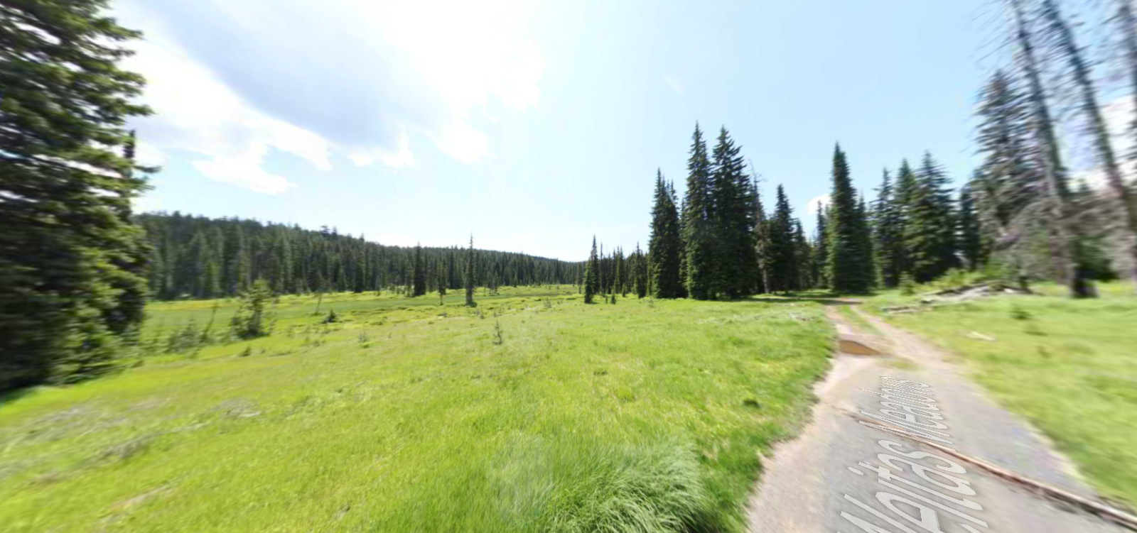
Tucked 35 miles northeast of Pierce, just off Forest Service Road 250, Weitas Campground offers a tranquil escape on the shaded banks of Weitas Creek near the North Fork of the Clearwater River. Accessible via…