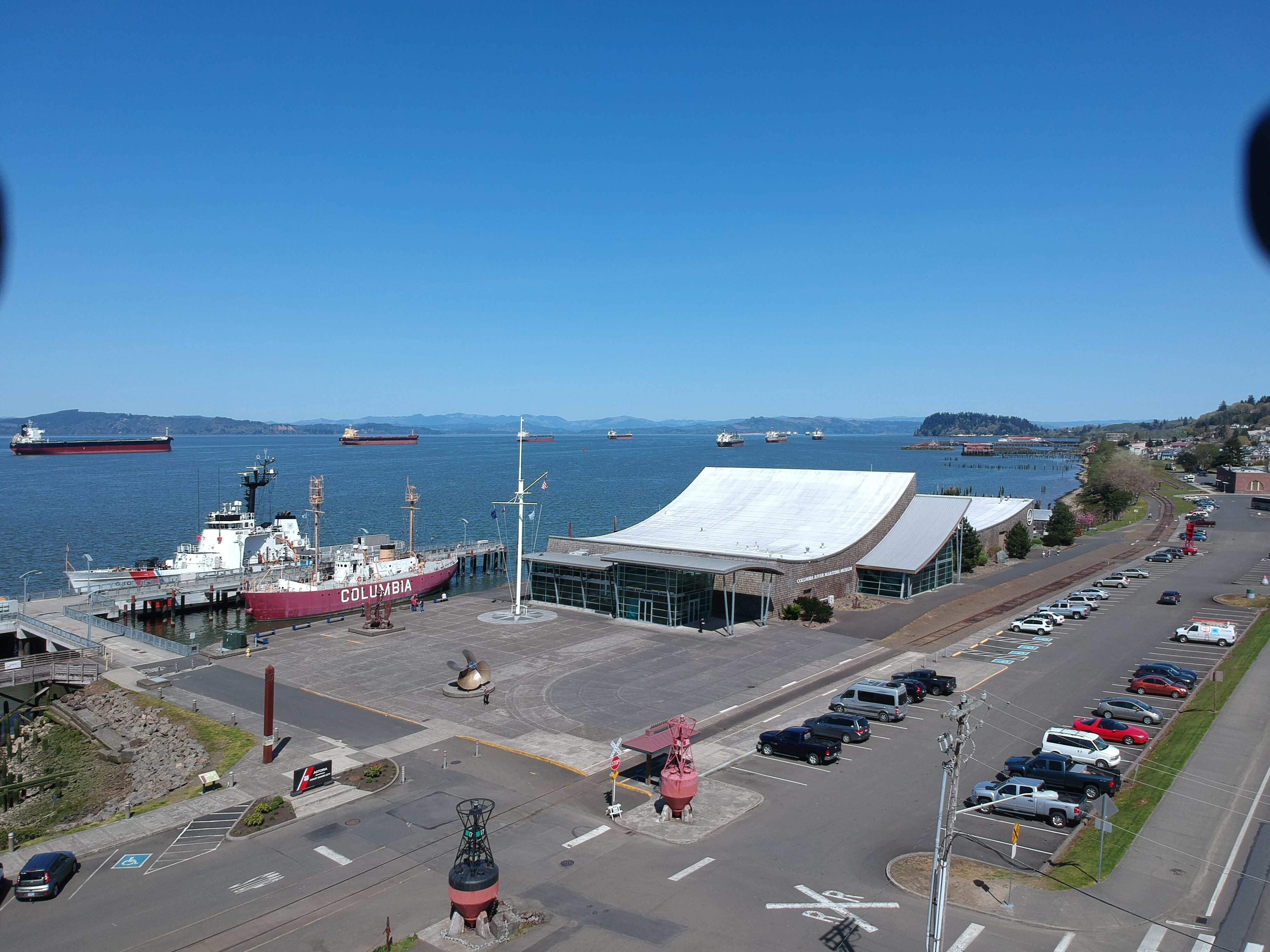
Astoria Riverwalk
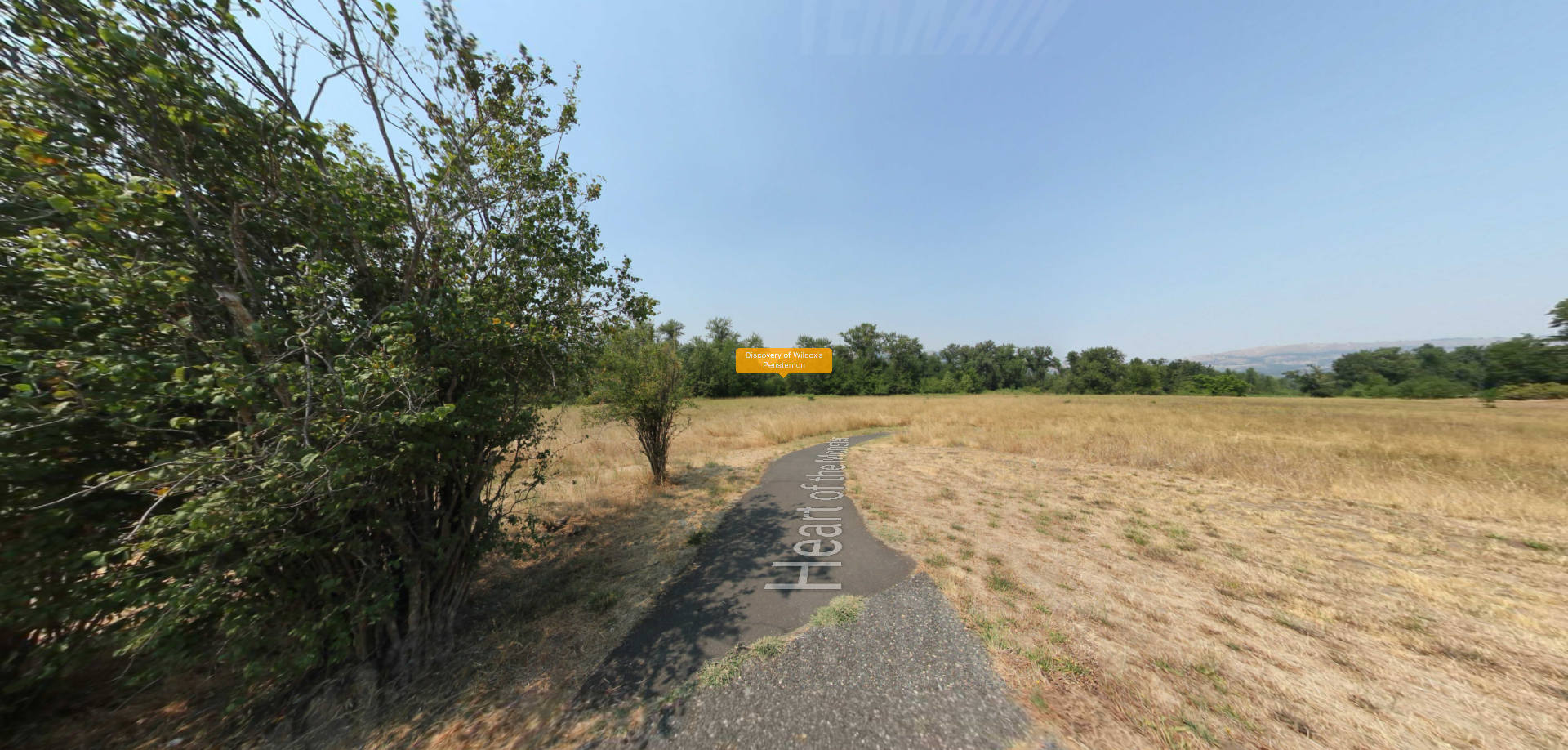
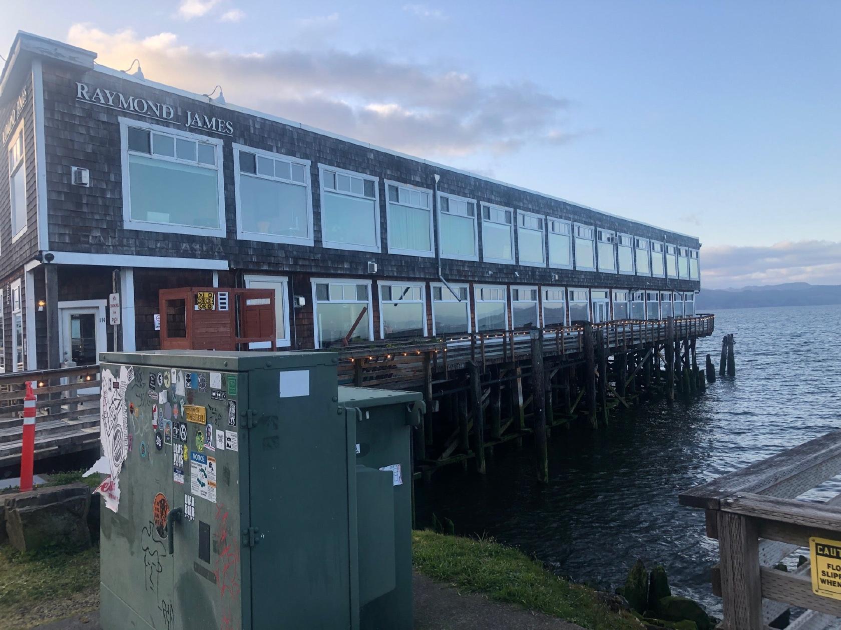
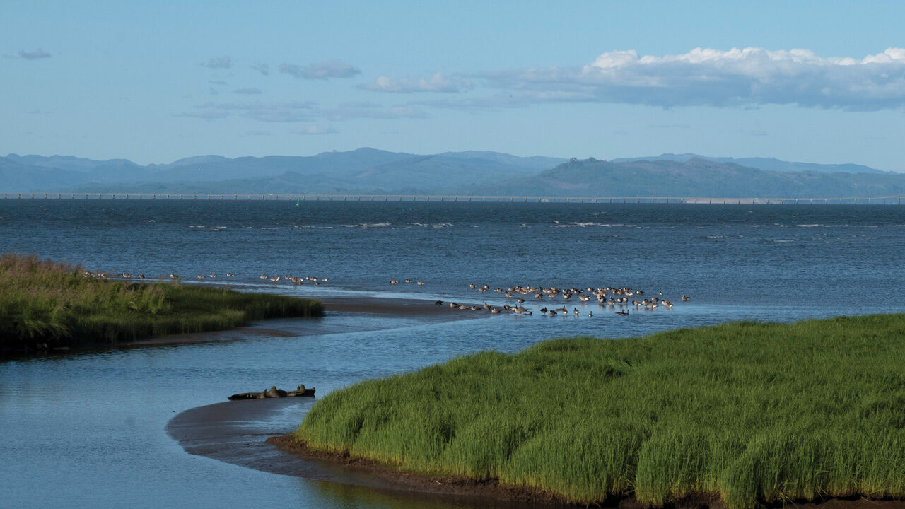
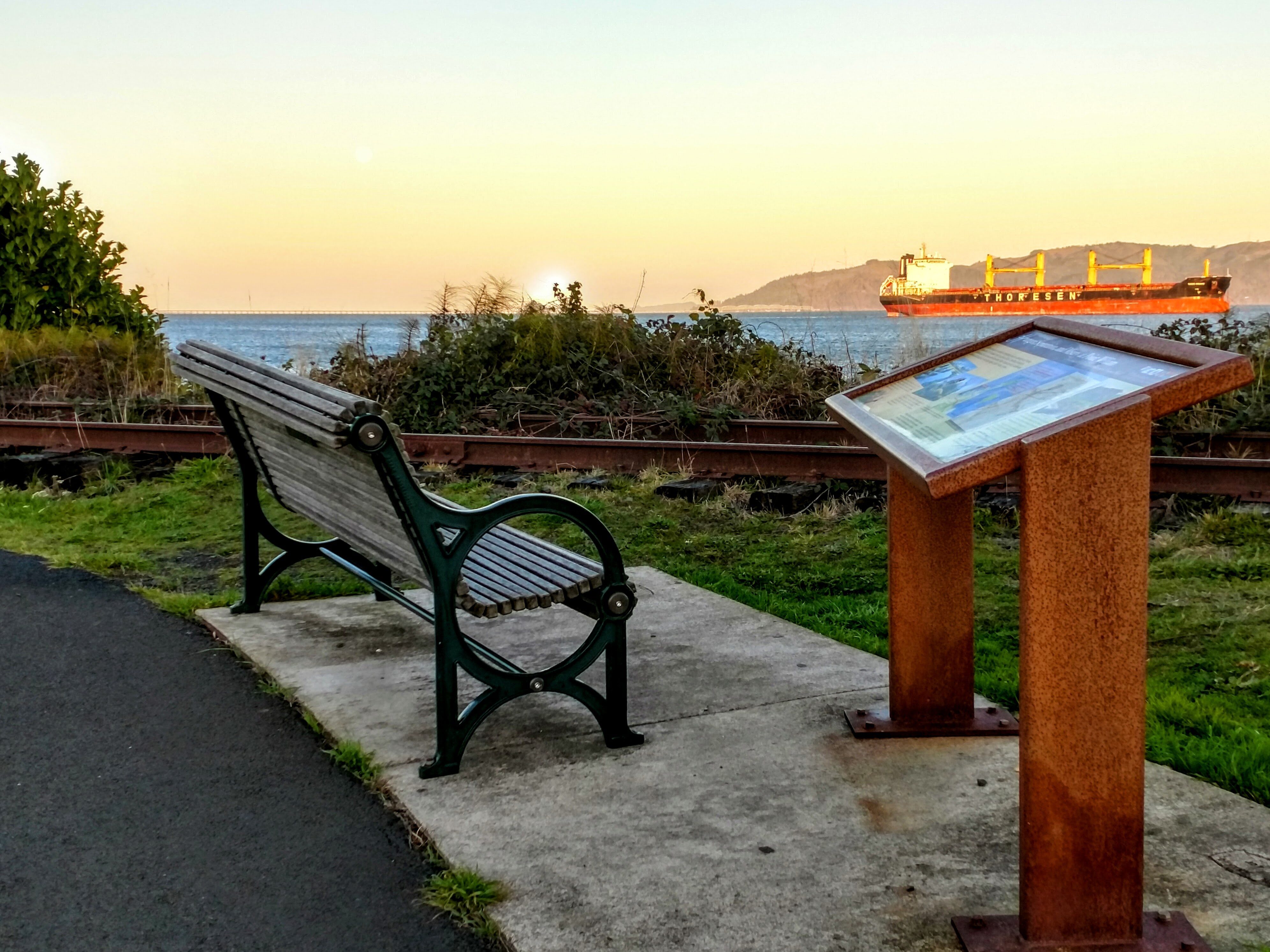
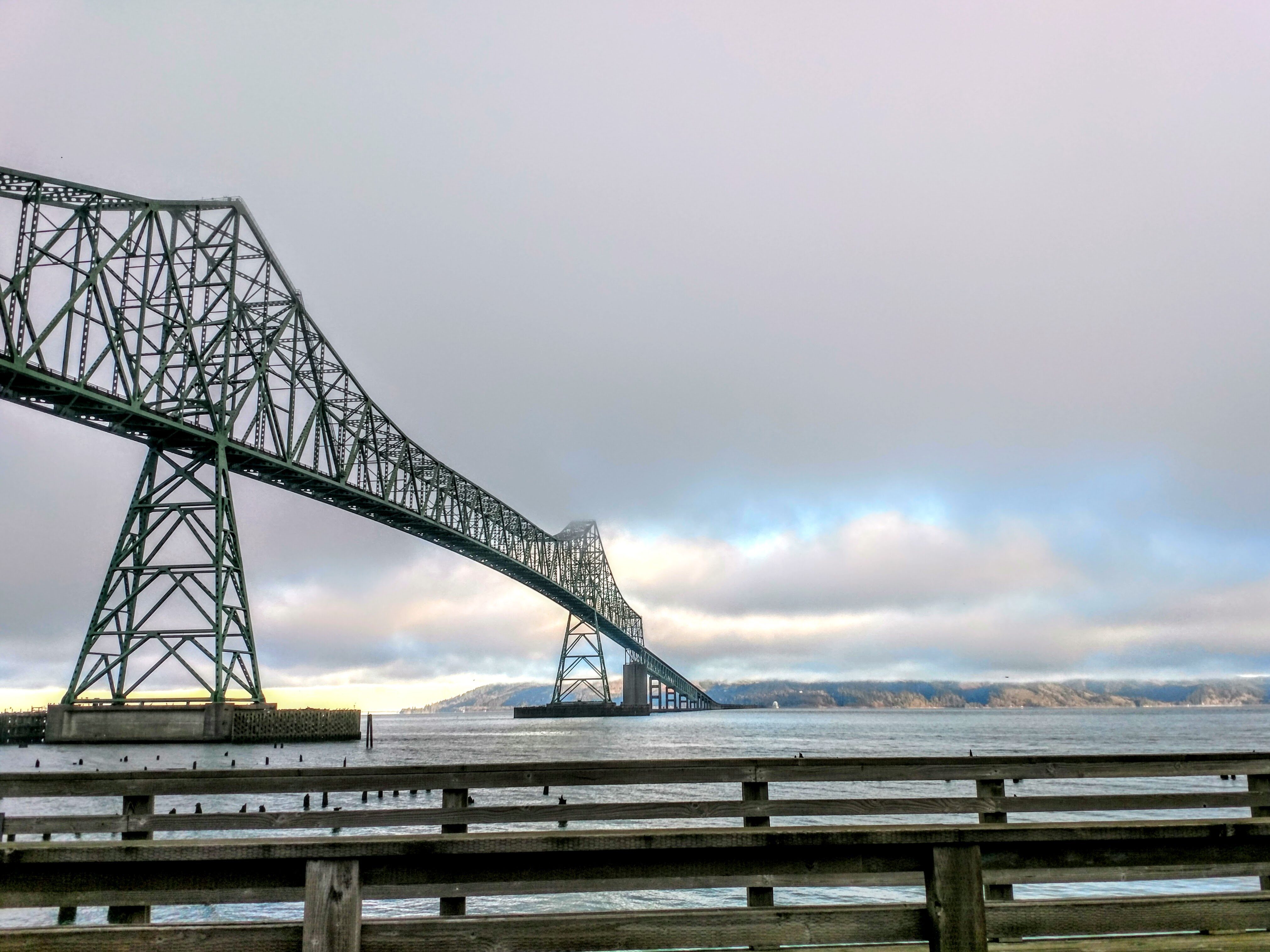
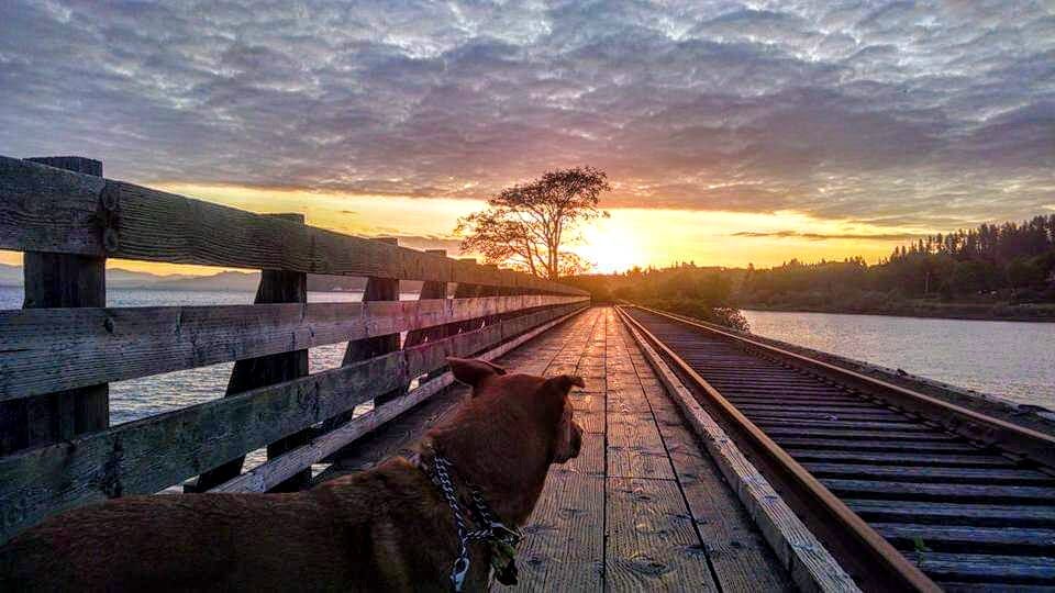
Located in Astoria, Oregon, the Astoria Riverwalk trail stretches along the city’s waterfront, following a portion of the Astoria & Columbia River Railroad. This 4.8-mile walk provides visitors with a walking tour of the area, with plenty of opportunities to indulge in spectacular views of the Columbia River estuary and the Astoria-Megler Bridge, a variety of shopping and dining options, and locations of historical significance, such as the Maritime Memorial, Hanthorn Cannery, and the Columbia River Maritime Museum.
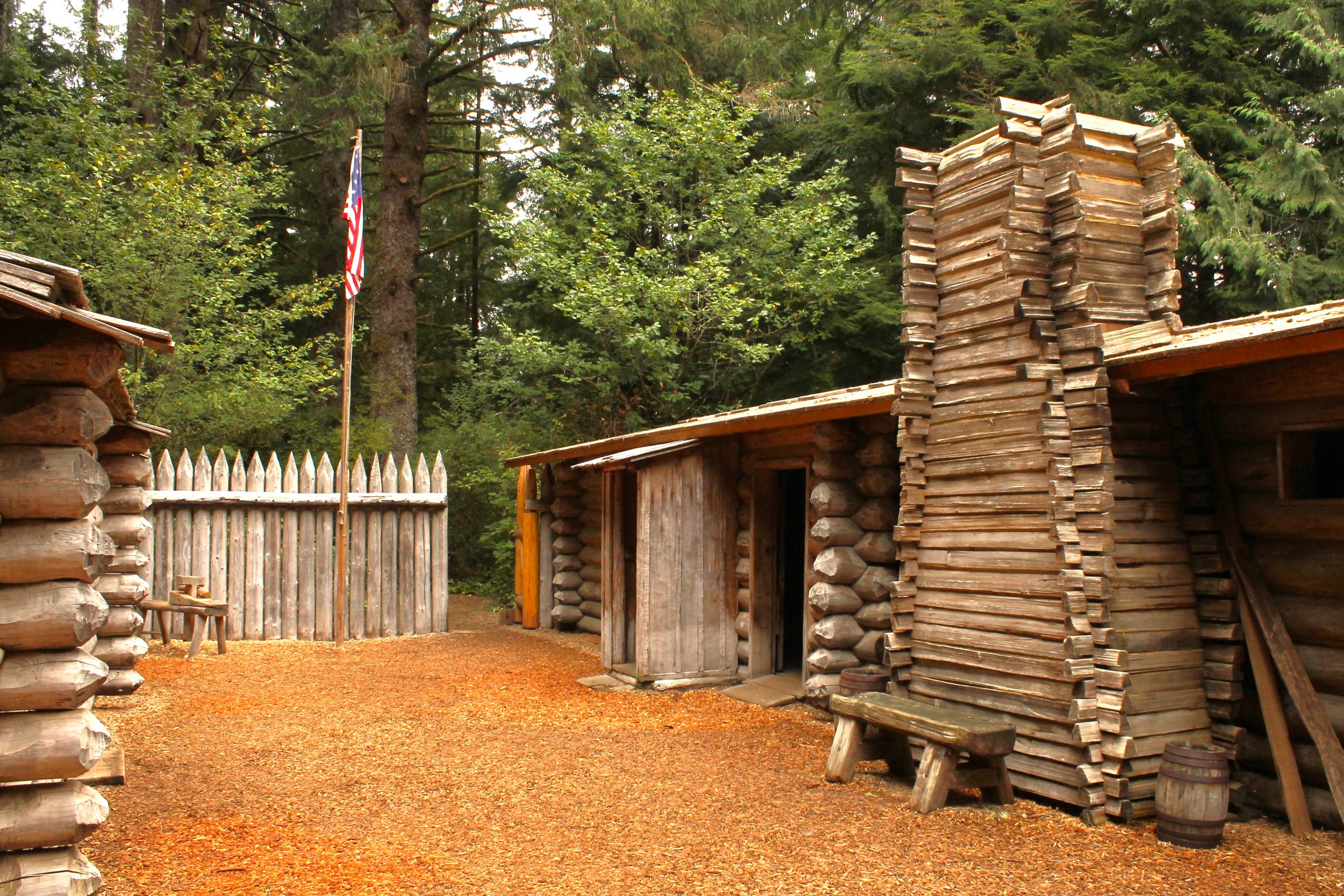
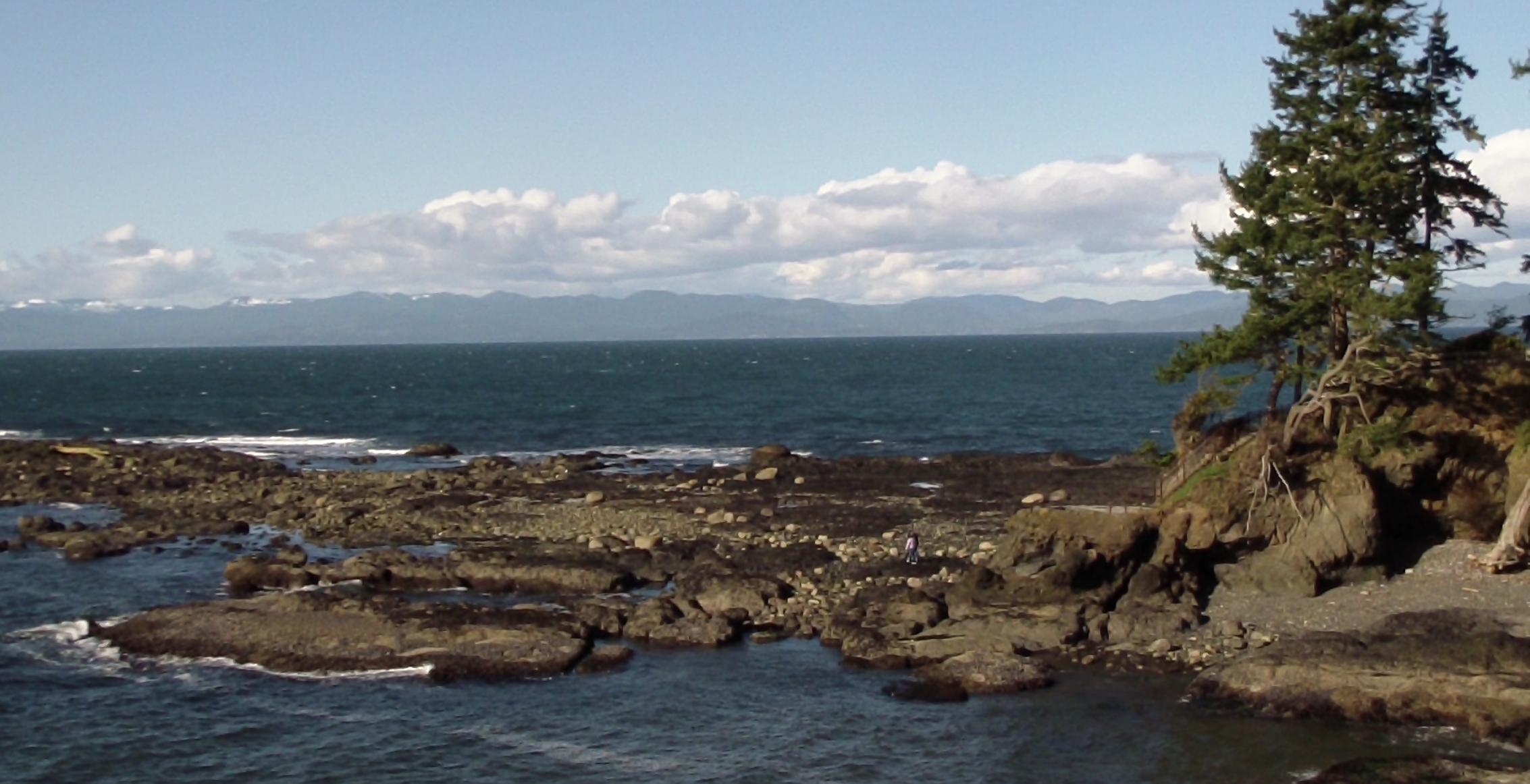
Tongue Point, visible near the end of the trail near the lagoons, is significant to the Lewis & Clark Expedition. The men camped here on March 23, 1806, after wintering at Fort Clatsop. An interpretive panel is installed on the Astoria Riverwalk that commemorates their stay. A bench commemorating Keith Hay, author of The Lewis & Clark Columbia River Water Trail guidebook, is situated next to the panel. Additional interpretive exhibits can be found along the trail, providing historical information.
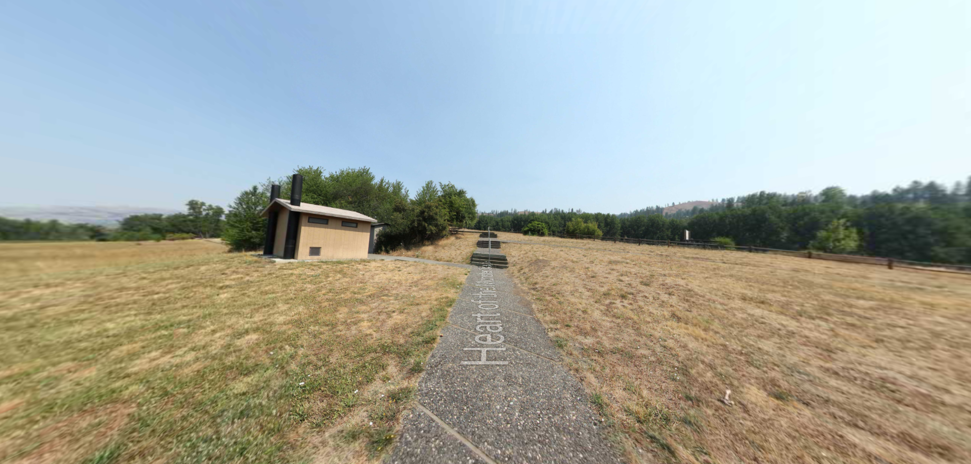
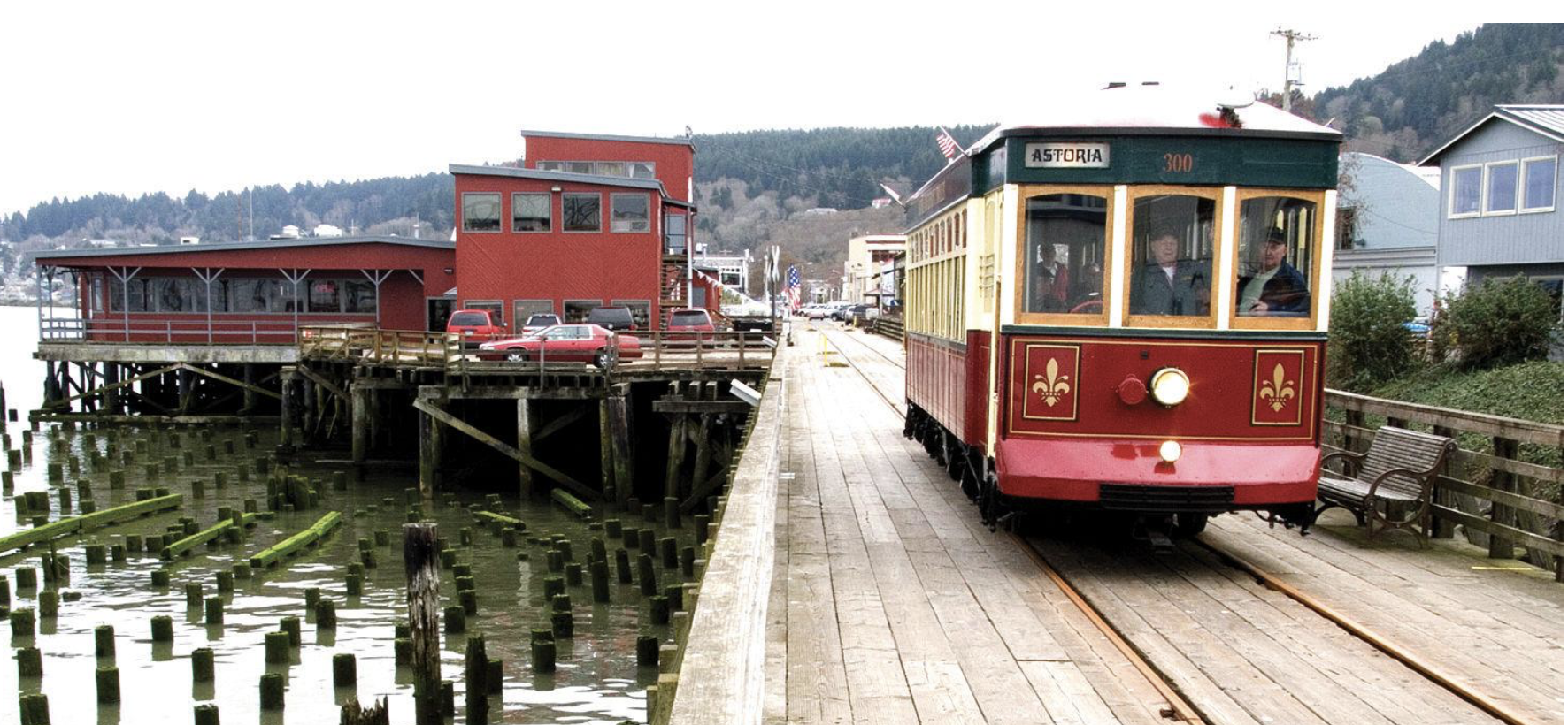
The trailhead can be accessed from Alder Street. The gravel parking lot is well-marked, and the trail itself is wheelchair accessible, being either paved with asphalt or comprised of a wooden boardwalk, depending on the section one happens to be on. The Astoria Riverfront Trolley runs alongside a 2.8 mile portion of the trail from the West Mooring Basin to Pier 39/Hanthorn Cannery with a narrated, volunteer-run tour for a small $1 per person fare.
For more information on the trail, visit TrailLink’s website at Astoria Riverwalk. For information on what Astoria has to offer, visit the Chamber of Commerce’s travel site.
To get to Astoria, take US 30 west or US 101 north. To reach the Port of Astoria, from US 101, after crossing the bridge, go 0.5 mile on Marine Drive. Or, from US 30, after crossing the John Day River, continue on US 30 for 6.9 miles. Turn north onto Portway Street, and take the second left onto Gateway Avenue. Parking can be found at the Maritime Memorial (200 W. Marine Drive) adjacent to the Astoria-Megler Bridge, as well as along most streets parallel to the trail.
You’ll find a gravel lot at the east end of the trail on Lagoon Road. From US 30, turn north onto 45th Street. After 0.2 mile, turn right onto Cedar Street. After 0.5 mile, turn left onto 51st Street. and make an immediate right onto Birch Street, which turns left and becomes 53rd Street and then turns right to become Alder Street and in less than 0.5 mile, you will see the gravel lot on your left.

Distance Unit:
Distance Unit: