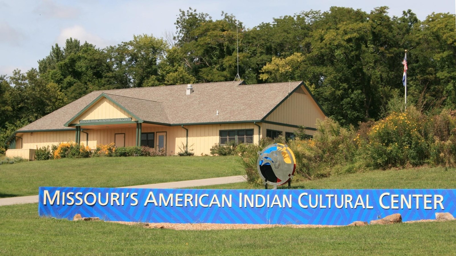
Annie & Abel Van Meter State Park and Missouri’s American Indian Cultural Center
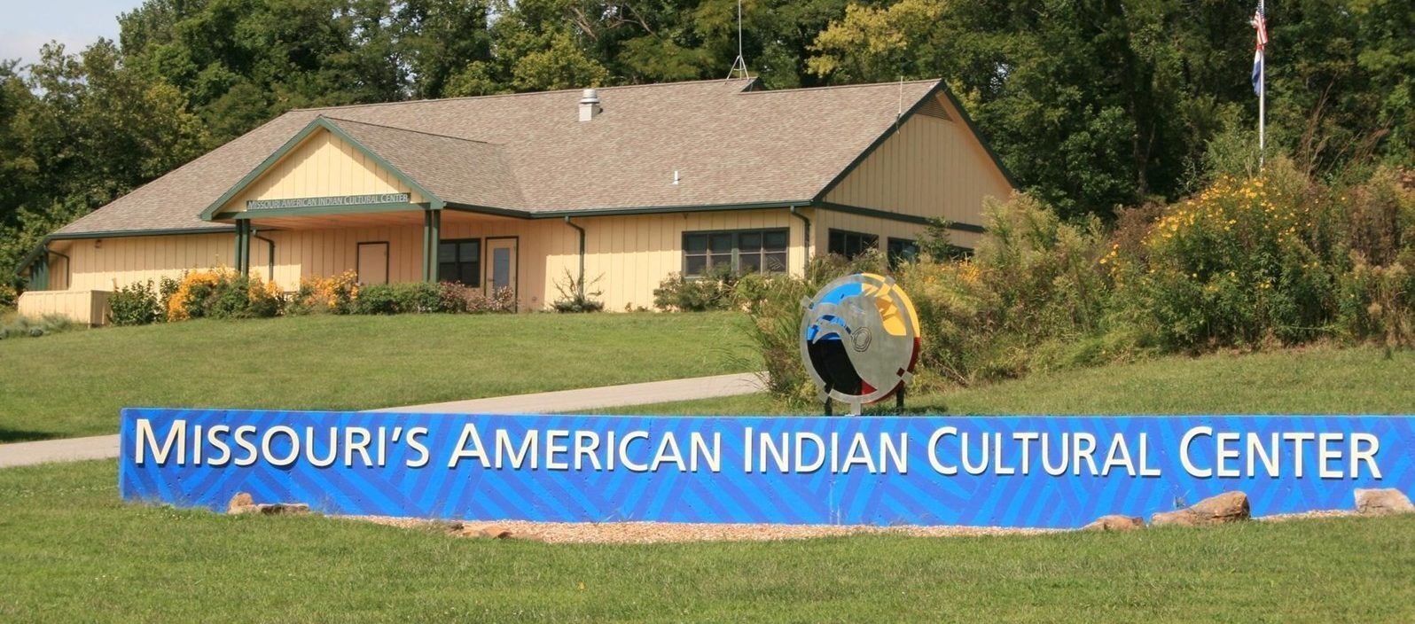
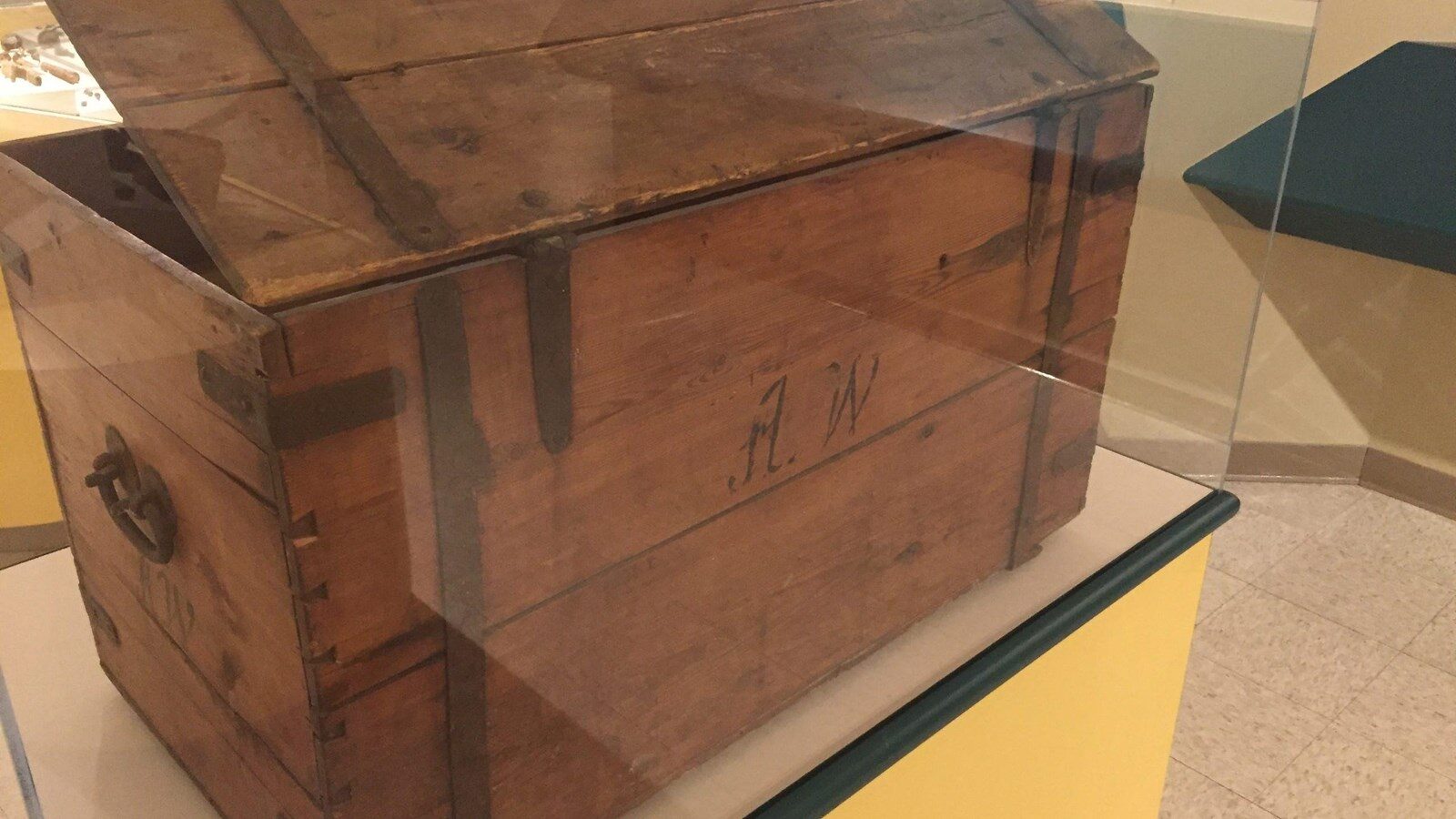
The Annie & Abel Van Meter State Park park boasts over 1,000 acres of trails, freshwater marshes, lush forests, and camping. The Missouri’s American Indian Cultural Center is also located within the park and features exhibits detailing the nine tribes that inhabited the region, namely the Otoe-Missouria, Osage, Delaware, Ioway, Ilini-Peoria, Kanza, Kickapoo, Sac and Fox, and Shawnee. Murals and artifacts show visitors what life was like in the 19th-century, as well as the impact and long-lasting effects that European exploration had on the tribes. A 10-minute video also gives an overview of the area’s geology and the settlement of the area by the Vanmeter family and development of the park. Trails wind through the Oumessourit Natural Area, leading visitors through freshwater marshes and bottomland and upland forests.
For centuries, the area surrounding the Great Bend of the Missouri was home to the Missouri Indians. They hunted and fished the lush land and bountiful waters. Over time, the area was home to encampments, burial mounds, and at least one village, the remnants of which can still be seen. Today, the site is part of the Annie & Abel Van Meter State Park.
It was here in 1804 that Meriwether Lewis and William Clark greeted the natives and exchanged food and goods. Once the largest population of native peoples in the area, Clark noted in his journal that the majority of them had been wiped out by diseases like smallpox and cholera. At the time of Lewis and Clark’s visit, there were fewer than 400 members of the Missouri tribes left. No longer an independent nation and dealing with raids from the Sac and Fox tribe, the survivors eventually left the area to join with the Otoes, Little Osage, Kansa, and Ioway tribes.
Distance Unit:
Distance Unit:


A boat ramp to the beautiful Missouri River with a peaceful view of the river.


The path taken by Chief John Ross on his way to Cairo. (https://www.hmdb.org/m.asp?m=161480)


A boat ramp that allows visitors to access the Trail of Tears