
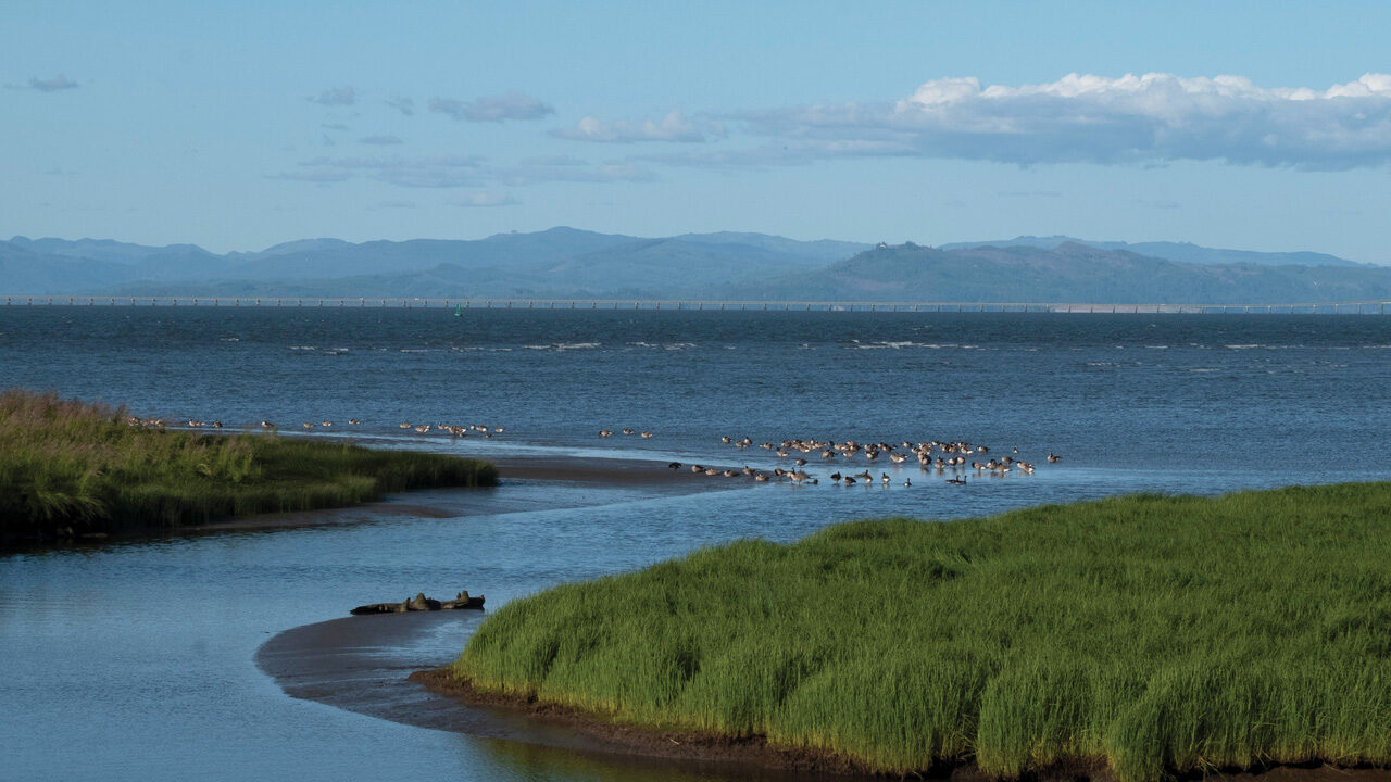
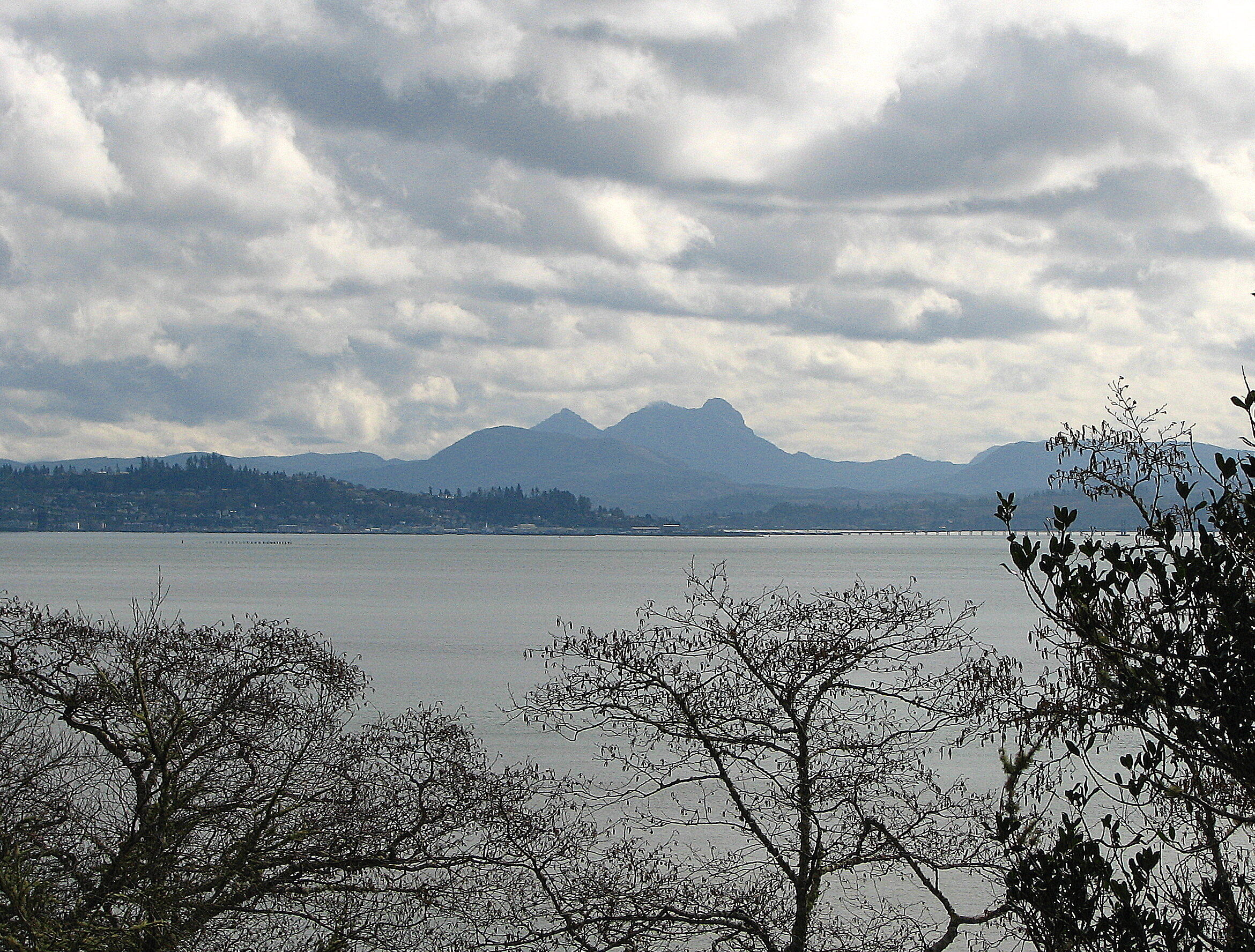
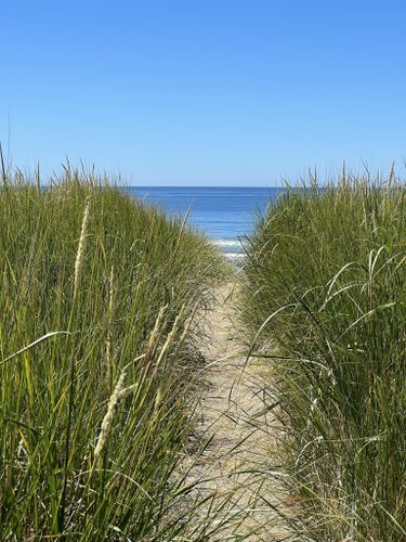
Visitors to the Tansy Point will find spectacular views of the Columbia River and the town of Astoria, located three miles away. A scenic overlook with interpretive panels known as the Lewis and Clark Observation Platform marks the historical location of Lewis and Clark’s stay.
Named for the abundance of native dune tansy (Tanacetum camphoratum) that grows here, Tansy Point in Warrenton, Oregon, has a long history of human occupation. Before the arrival of Europeans, Chinook villages stretched along the numerous waterways that fed into the Columbia River, including the area at Tansy Point.
Clark recorded the visit in his journal, stating:
“A fair morning Sent out 6 hunters, and we proceeded to make the following observations [7]. a Chief and Several men of the Chin nook nation Came to Smoke with us this evening one of the men brought a Small Sea otter Skin for which we gave Some blue beads— this day proved fair which gave us an oppertunity of drying our wet articles, bedding &c. &c. nothing killed to day except one Brant. the variation of the Compass is 16° East.”
Several years later, in 1851, Tansy Point served as the meeting point between the Superintendent of Indian Affairs for the Oregon Territory, Anson Dart, and representatives from several Chinook nations. The results of these meetings are collectively known as the Tansy Point Treaties. Sadly, the treaties were never ratified by the U.S. government, and the participating tribes lost their land without receiving any of the promised rights outlined in the treaties. They still struggle for federal recognition to this day.
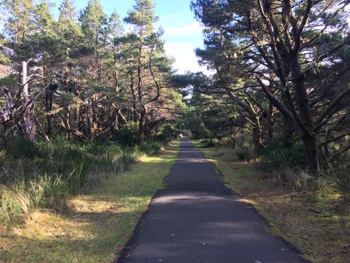
The observation platform can be found by following the Warrenton Waterfront Trail. The trail runs for 4.7 miles through the city of Warrenton. Parking for the trail can be found at both its northern end at Seafarer’s Park and its southern end at Skipanon River Park, with an additional parking area located near the trail’s middle at Eben H. Carruther’s Memorial Park on Fort Stevens Highway. The trailhead at Eben H. Carruther’s Memorial Park is the closest one to Tansy Point.
For more information on the Warrenton Waterfront Trail, visit Warrenton Waterfront Trail. Information on Tansy Point’s history can be found at The Columbia River – Tansy Point, Oregon.

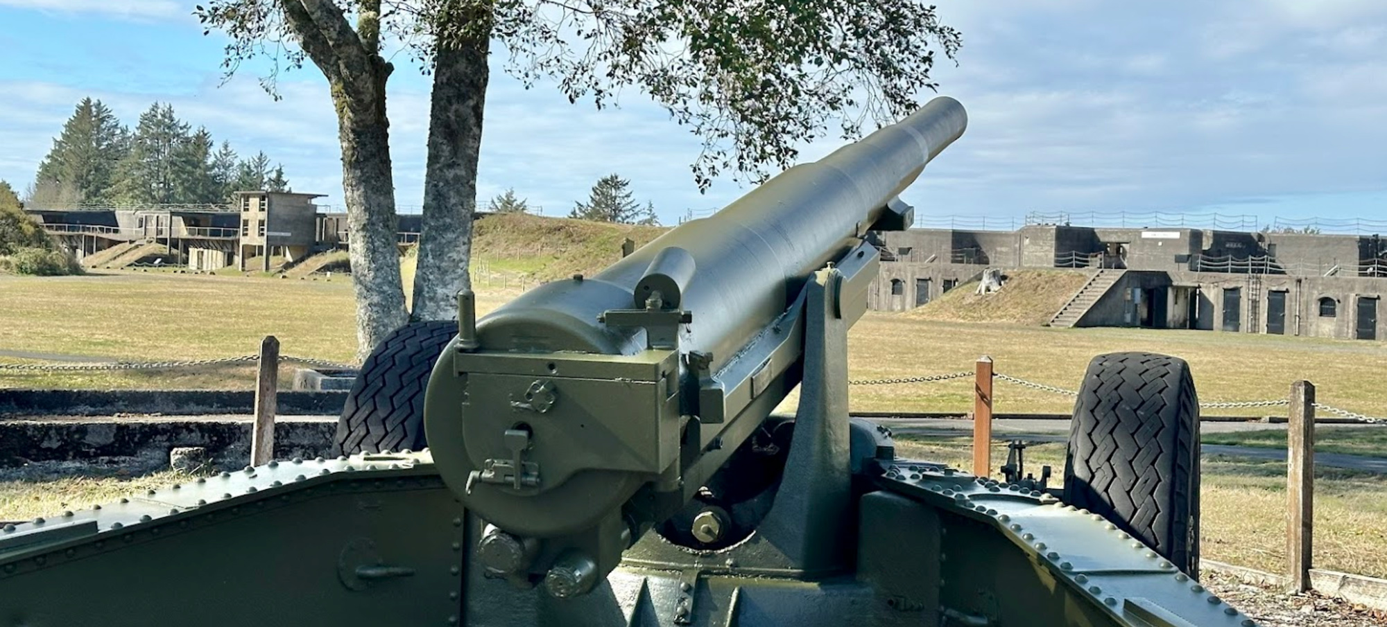
Fort Stevens State Park, Peter Iredale Rd, Hammond, OR, USA
Distance: 2.73 mi (straight line)
Outdoor Experiences Museums and Interpretive Centers Forts RV and Camping Guided Tours
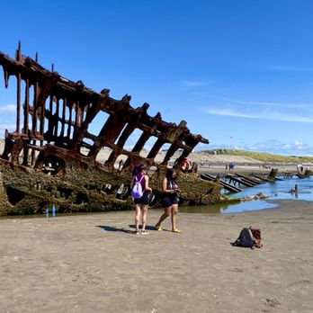
Wreck of the Peter Iredale, Hammond, OR, USA
Distance: 2.88 mi (straight line)
General History Outdoor Experiences Walks and Hikes Viewpoints

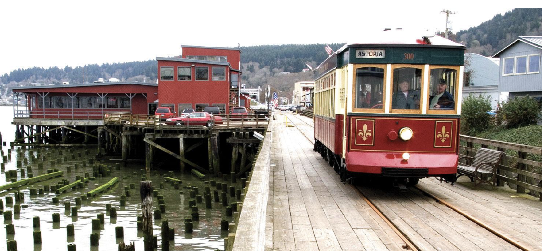
Astoria Riverfront Trolley, Industry Street, Astoria, OR, USA
Distance: 3.10 mi (straight line)
Astoria Riverwalk Inn, Industry Street, Astoria, OR, USA
Distance: 3.24 mi (straight line)
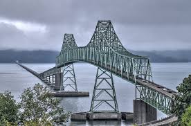
Astoria-Megler Bridge, U.S. 101, Astoria, OR, USA
Distance: 3.40 mi (straight line)
Delaura Dune Trail North Trailhead, Jetty Road, Hammond, OR, USA
Distance: 3.53 mi (straight line)

Middle Village - Station Camp (unit of Lewis and Clark National Historical Park), U.S. 101, Chinook, WA, USA
Distance: 3.93 mi (straight line)
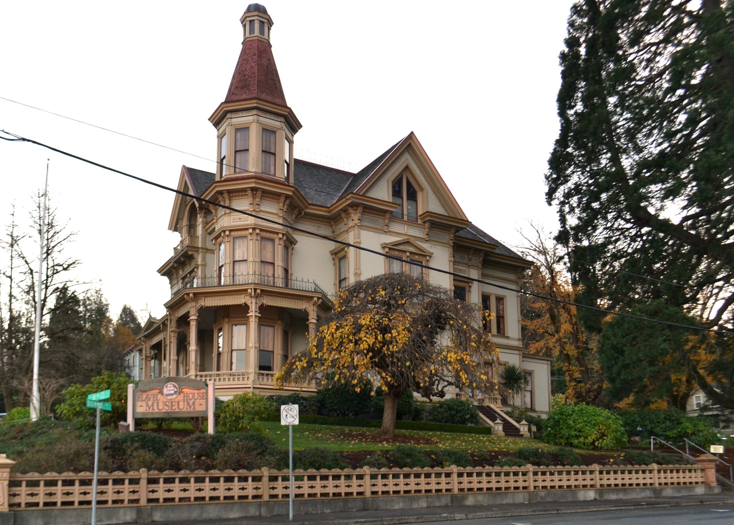
Flavel House Museum, Exchange Street, Astoria, OR, USA
Distance: 4.21 mi (straight line)
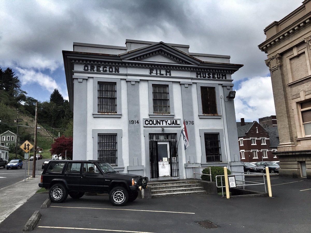
Oregon Film Museum, Duane Street, Astoria, OR, USA
Distance: 4.22 mi (straight line)

Peter Pan Market & Deli, Niagara Avenue, Astoria, OR, USA
Distance: 4.24 mi (straight line)
First Pass Outfitters, Commercial Street, Astoria, OR, USA
Distance: 4.26 mi (straight line)
Drina Daisy Bosnian Restaurant, Commercial Street, Astoria, OR, USA
Distance: 4.30 mi (straight line)

Lucy's Books, Commercial Street, Astoria, OR, USA
Distance: 4.32 mi (straight line)
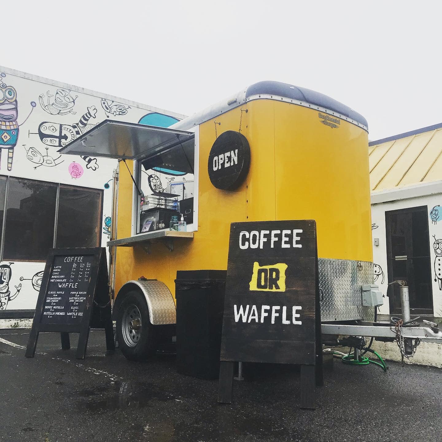
Coffee OR Waffle, 11th Street, Astoria, OR, USA
Distance: 4.38 mi (straight line)

Inferno Lounge, 11th Street, Astoria, OR, USA
Distance: 4.38 mi (straight line)
Fort Clatsop Visitor Center, Fort Clatsop Road, Astoria, OR, USA
Distance: 4.40 mi (straight line)
Our bi-weekly newsletter provides news, history, and information for those interested in traveling along along the Lewis & Clark Trail.


