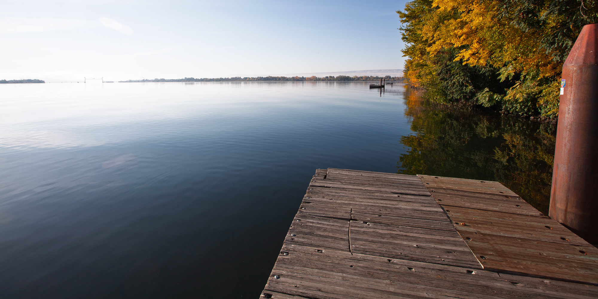
The Sacajawea Historical State Park and Interpretive Center features the Lewis and Clark Expedition through the eyes of Sacagawea. Interpretation includes the time the Corps of Discovery camped here on October 16 and 17, 1805. Explore the importance of the land and resources of the area for the people who have called the Snake-Columbia confluence home for thousands of years.
It was at this place where a memorable greeting was given to the Expedition by several Nations who were catching and drying salmon:
. . . about 200 men Singing and beeting on their drums Stick and keeping time to the musik . . . formed a half circle around us and Sung for Some time, we gave them all Smoke . . . .
—William Clark
The park has a swimming beach, boat launches, picnic areas, and walking trails. Prominent on the point between two rivers is an installment of “The Confluence Project” by celebrated artist, Maya Lin. The “Story Circles” celebrate the native cultures, languages, flora, fauna, geology, and natural history of the confluence of the Snake and Columbia Rivers.
The park is also located at the southern terminus of the paved Sacagawea Heritage Trail which follows the Columbia River 23 miles passing through all three cities: Pasco, Richland, and Kennewick.
The park is typically open for day use only.
https://parks.wa.gov/find-parks/state-parks/sacajawea-historical-state-park
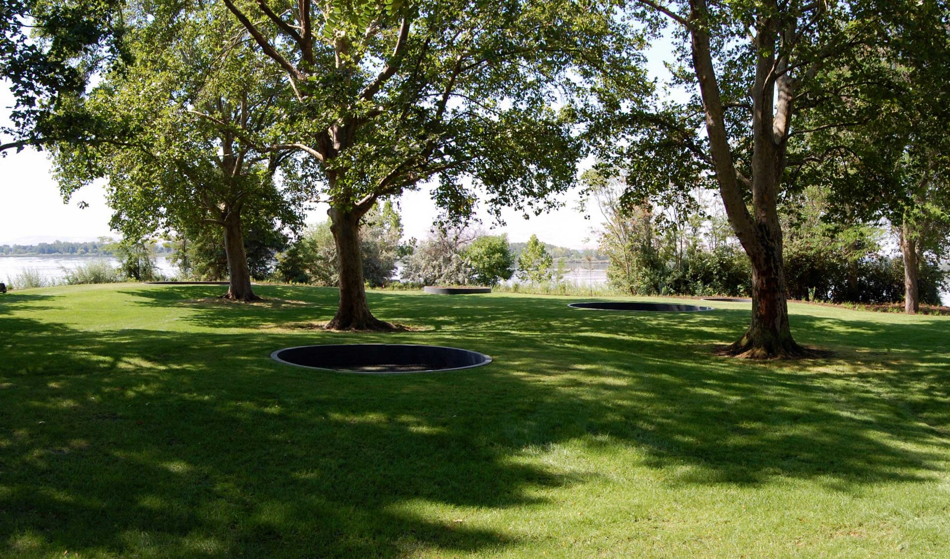
2503 Sacajawea Park Rd, Pasco, WA 99301, USA
Distance: 0.11 mi (straight line)
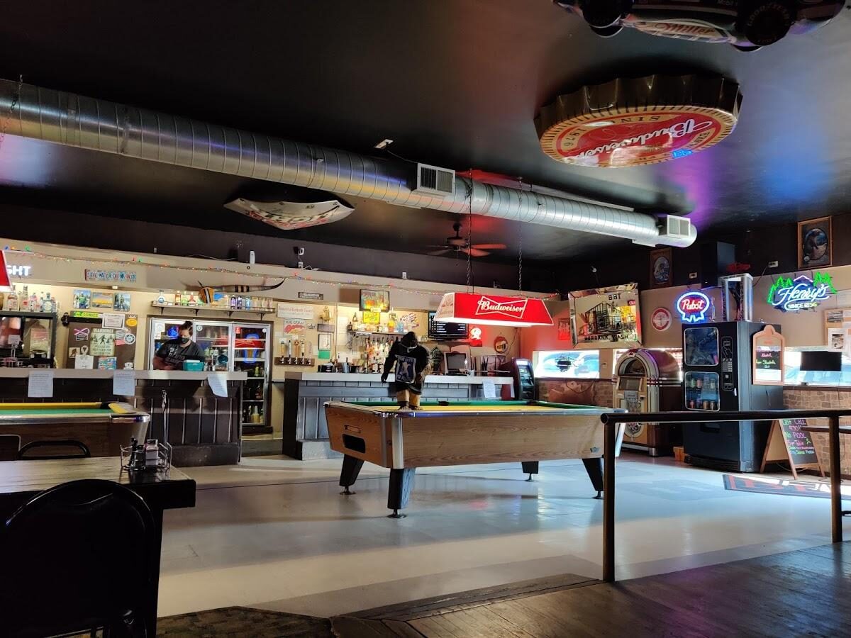
The Beautiful Downtown Burbank Tavern, South 2nd Street, Burbank, WA, USA
Distance: 1.04 mi (straight line)
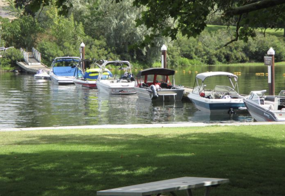
Hood Park, Grain Terminal Road, Burbank, WA, USA
Distance: 1.61 mi (straight line)
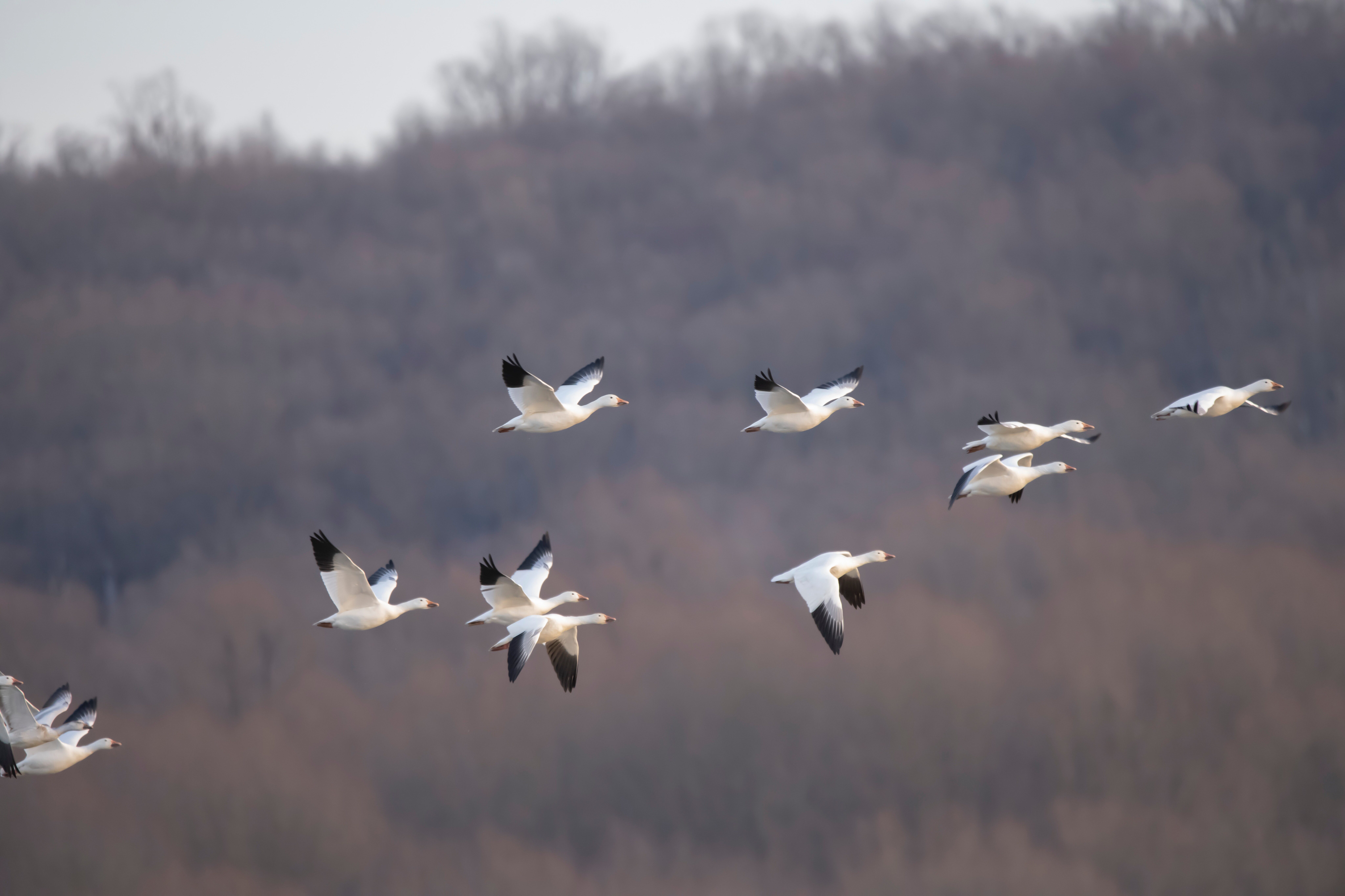
McNary National Wildlife Refuge, Maple Street, Burbank, WA, USA
Distance: 2.26 mi (straight line)
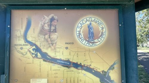
6607 Columbia Park Trail, Kennewick, WA 99336, USA
Distance: 7.48 mi (straight line)
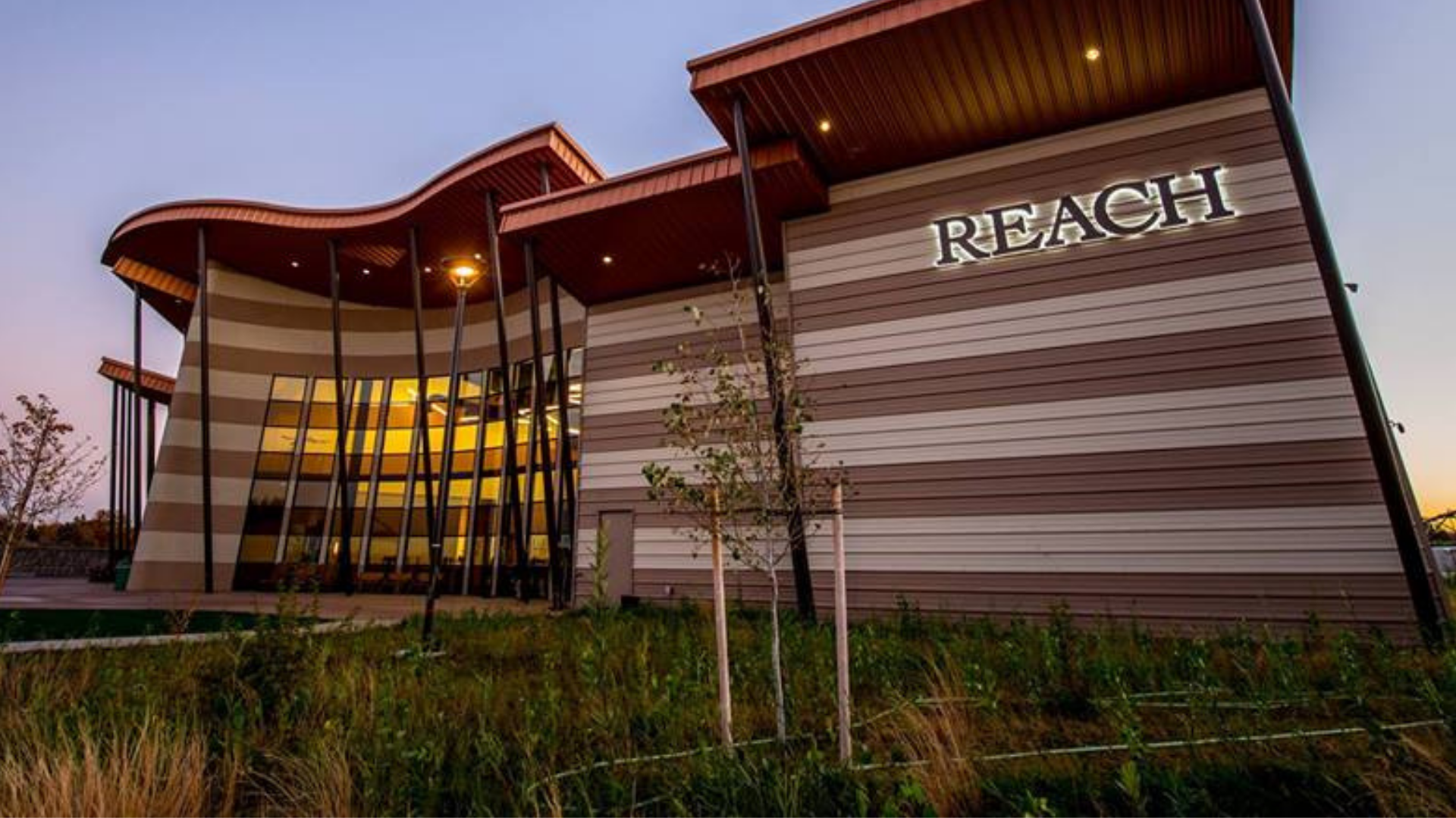
1943 Columbia Park Trail, Richland, WA, USA
Distance: 8.76 mi (straight line)
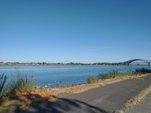
1790 Columbia Park Trail, Richland, WA 99352, USA
Distance: 8.83 mi (straight line)
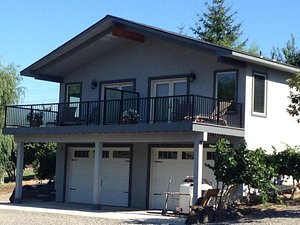
8101 West 10th Avenue, Kennewick, WA, USA
Distance: 8.97 mi (straight line)
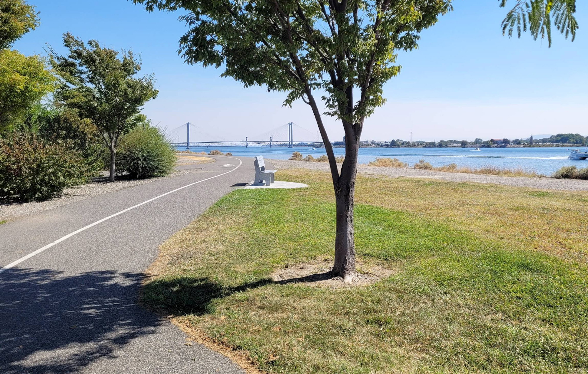
11404 W Court St, Pasco, WA 99301, USA
Distance: 10.50 mi (straight line)
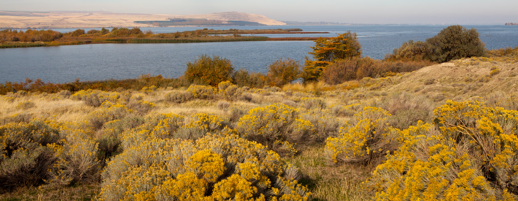
337P+F9 Wallula Junction, WA, USA
Distance: 11.26 mi (straight line)
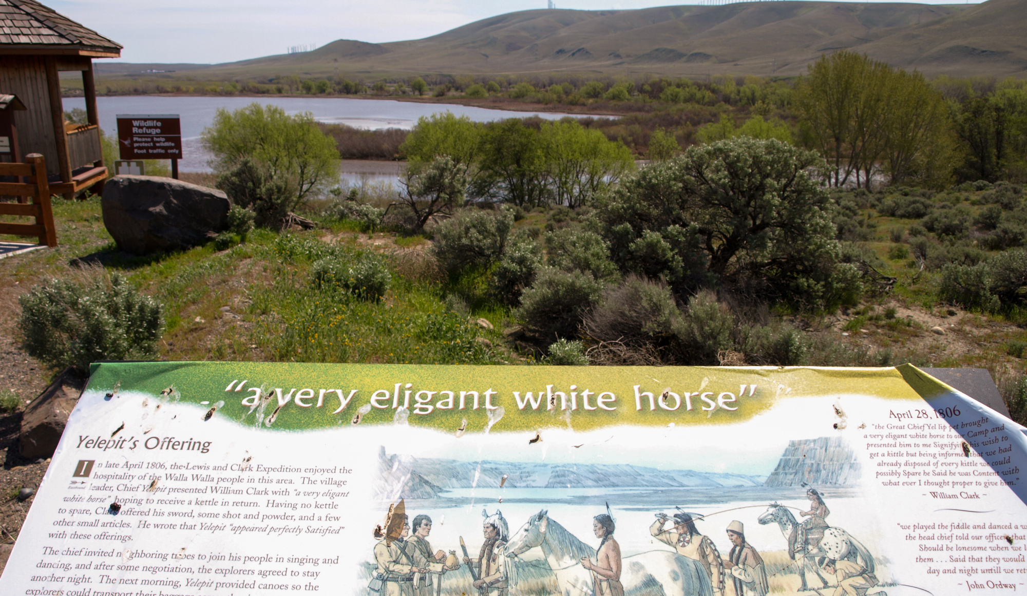
336V+VP Wallula Junction, WA, USA
Distance: 11.57 mi (straight line)
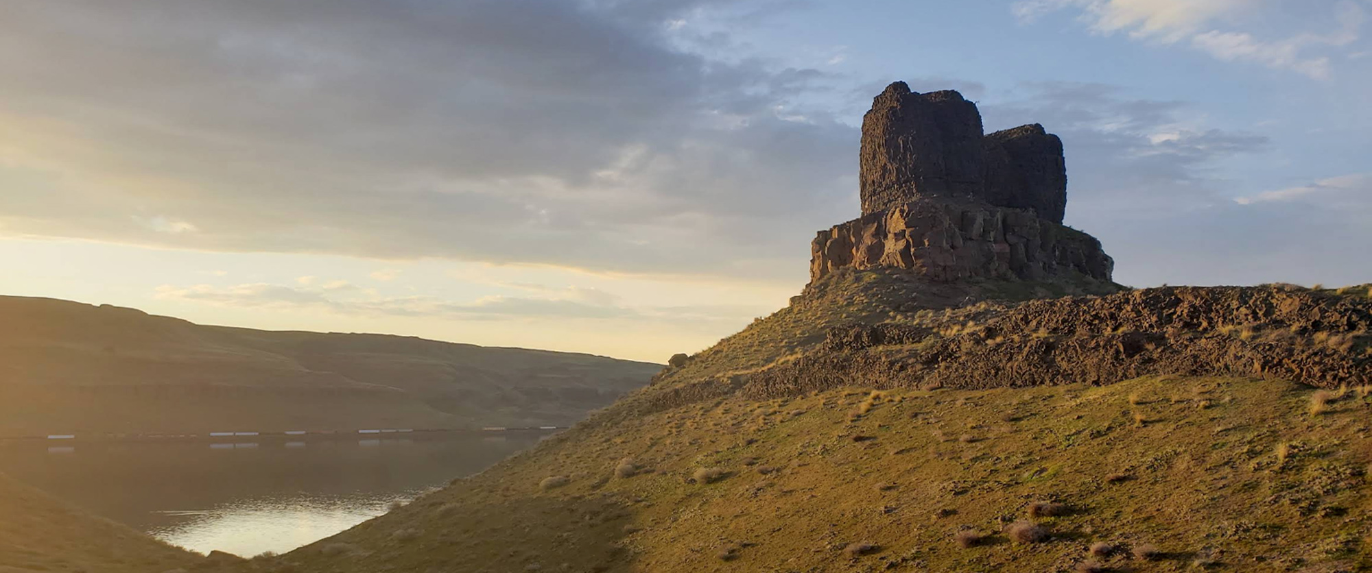
Twin Sisters Rock, U.S. 730, Kennewick, WA, USA
Distance: 11.90 mi (straight line)
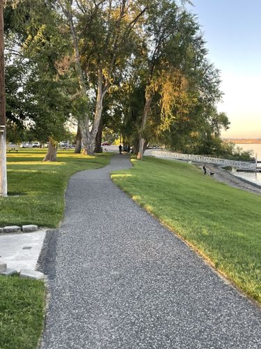
Riverfront Trail, Richland, WA, USA
Distance: 12.91 mi (straight line)
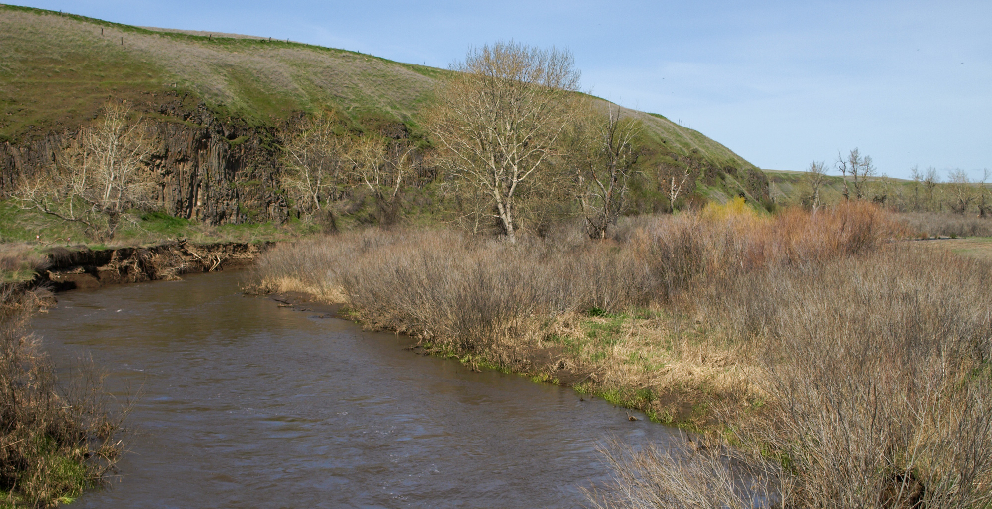
Lewis & Clark Campsite, Touchet River, Touchet North Road, Touchet, WA, USA
Distance: 19.10 mi (straight line)
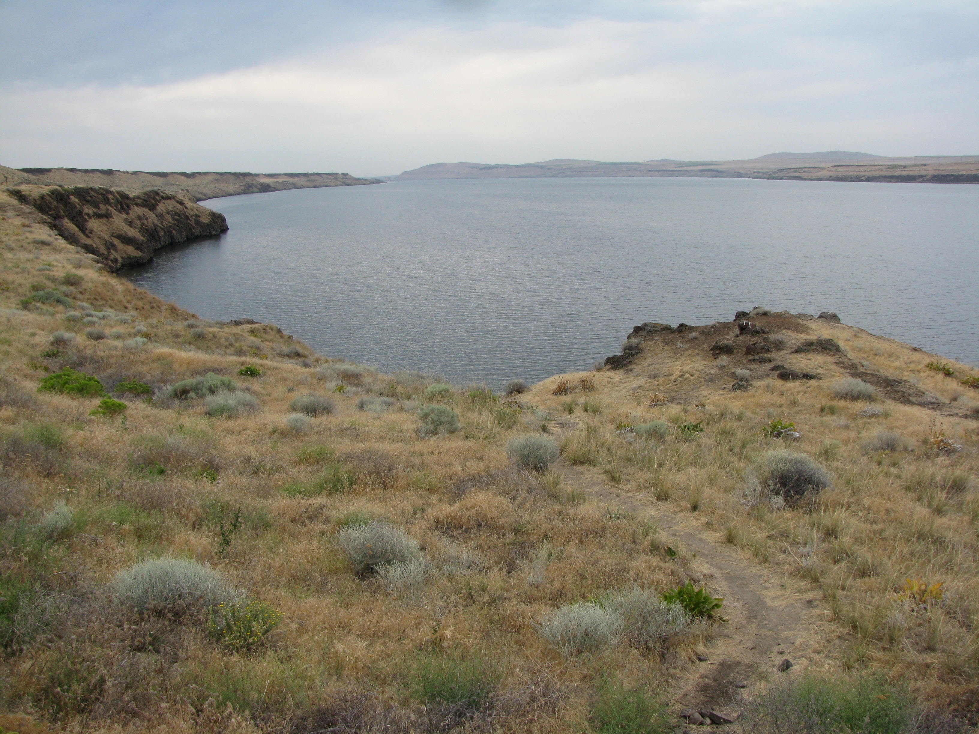
Lewis and Clark Commemorative Trail Trailhead, Hermiston, OR, USA
Distance: 20.07 mi (straight line)
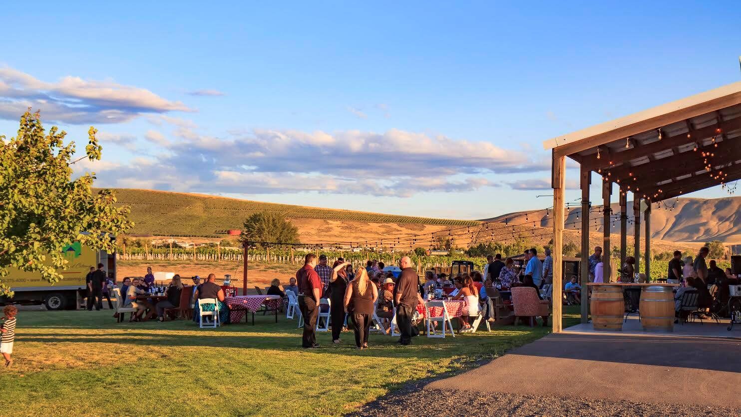
Frichette, North Sunset Road, Benton City, WA, USA
Distance: 20.38 mi (straight line)
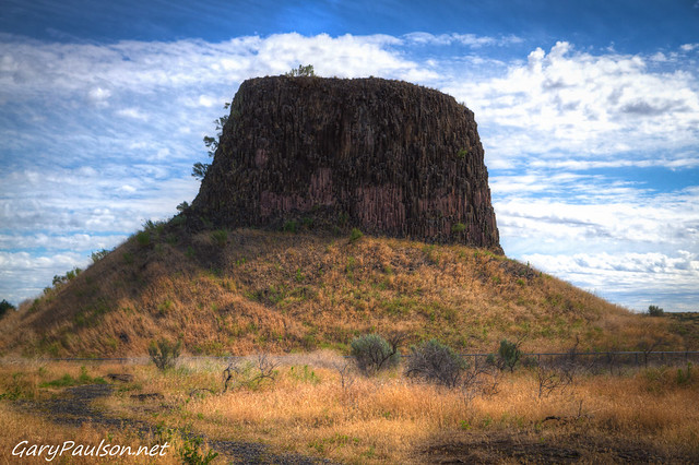
Hat Rock State Park, Hermiston, OR, USA
Distance: 20.93 mi (straight line)
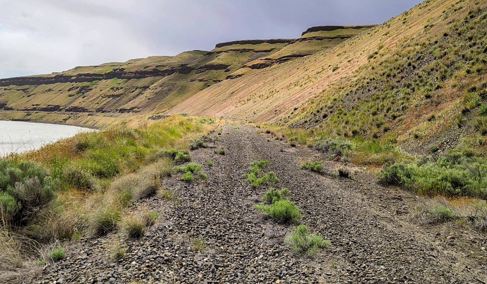
Columbia Plateau Trail, Pasco, WA 99301, USA
Distance: 21.58 mi (straight line)
Our bi-weekly newsletter provides news, history, and information for those interested in traveling along along the Lewis & Clark Trail.