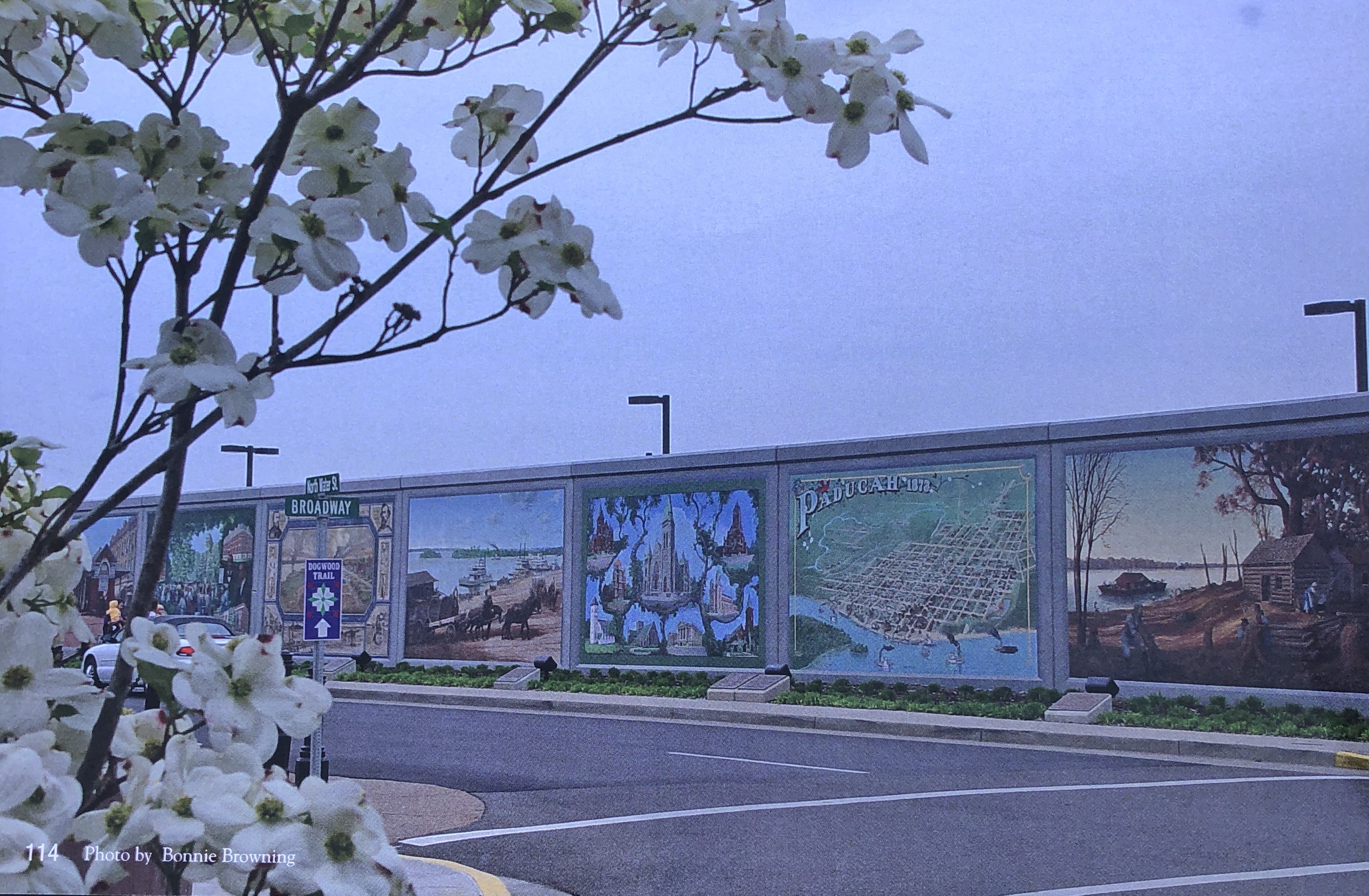
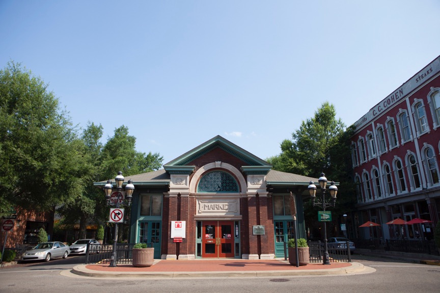
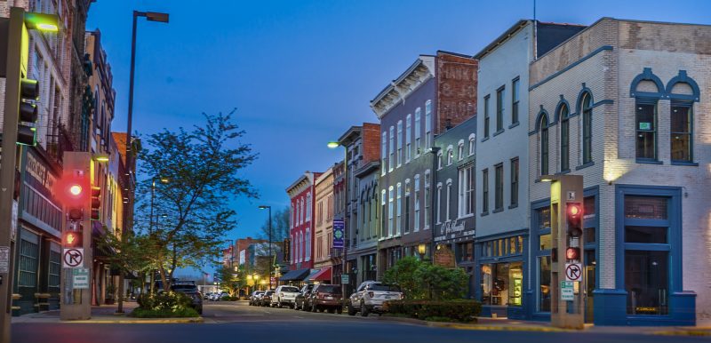
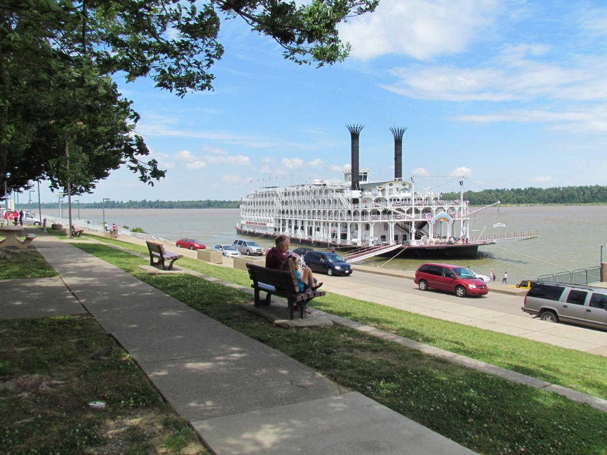
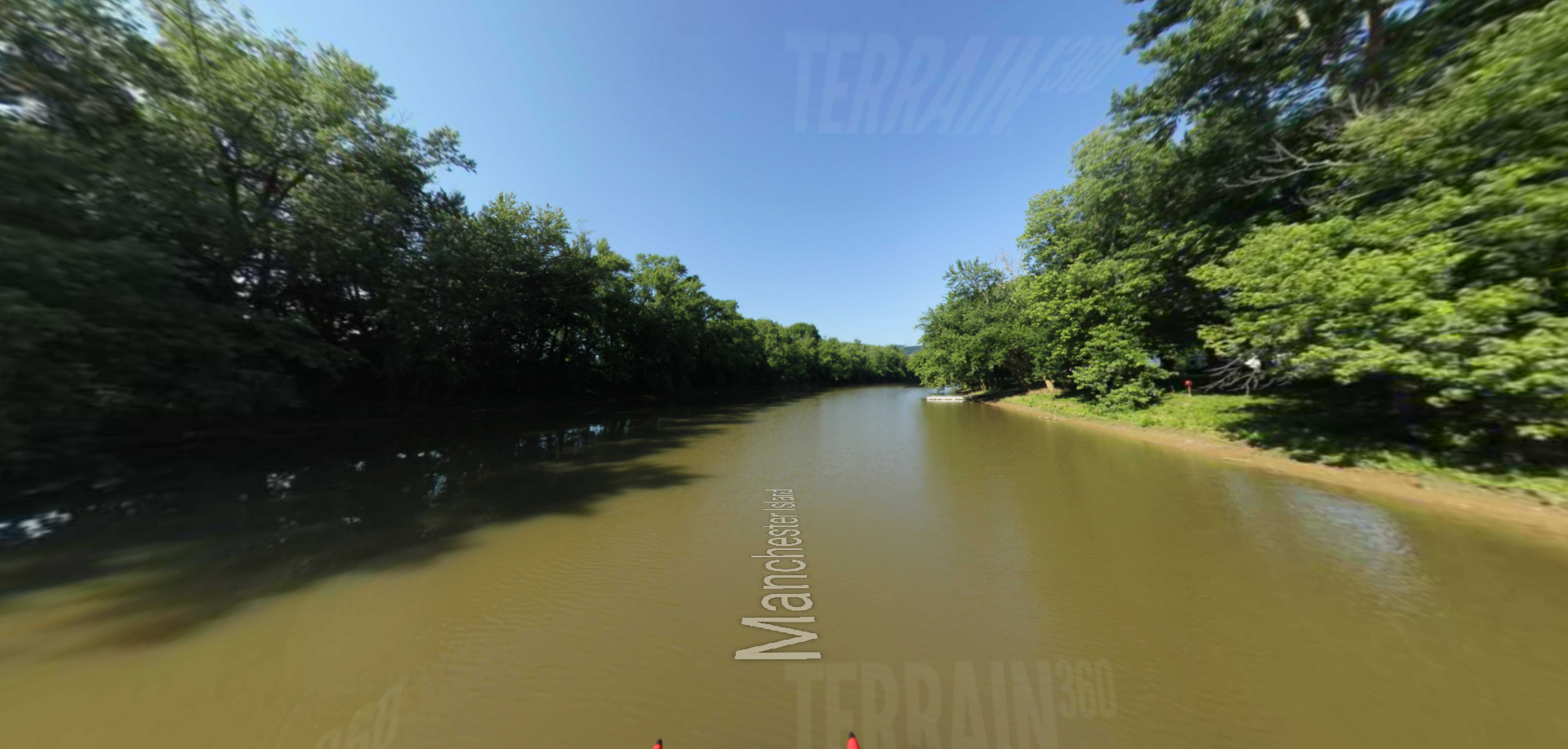
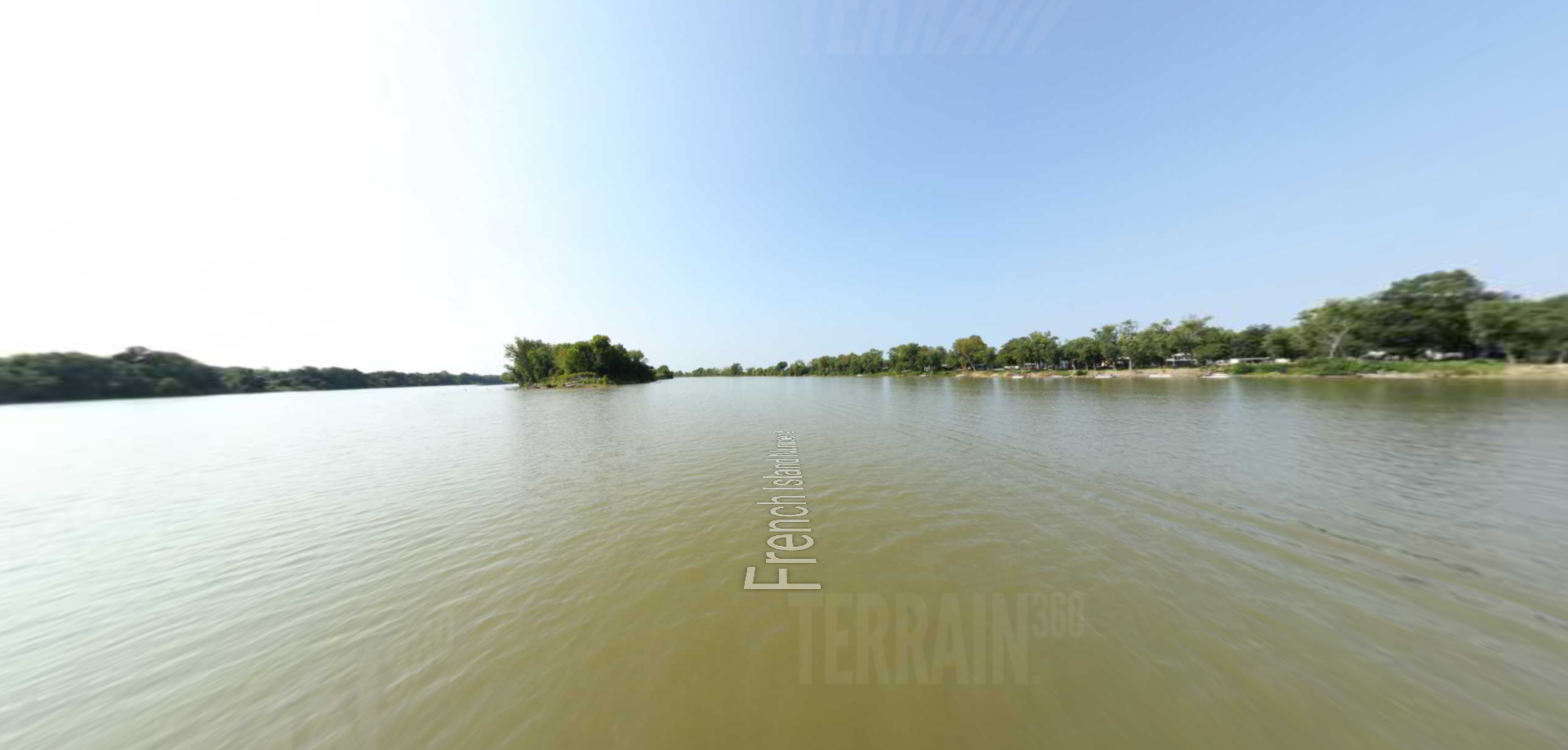
On the Lewis & Clark National Historic Trail, roads to downtown Paducah take you along three blocks of magnificent paintings on the City’s floodwall. Paducah Wall to Wall is public art painted by renowned Dafford muralists. 50+ life-size images, including the Lewis & Clark Expedition, famous Clark brothers, and American Indian scenes, make history come alive in this UNESCO creative city. At the confluence of the Ohio and Tennessee rivers, the riverfront attraction boasts bronze interpretive panels telling the story of each painting, spot lighted when the sun goes down. Visitors and locals alike experience an appreciation of art and history 24/7. As a tourism attraction, the portraits of Paducah’s past inspire both young and old like icing on the cake for this charming western Kentucky river town.
Originally sponsored and funded by the private sector, an all-volunteer group of dedicated citizens started and continues to coordinate the City-maintained attraction. Now in its 25th painting season, Dafford muralists return annually to touch up or sometimes entirely repaint images. Books, postcards, posters, prints, t-shirts and coloring books are sold to support maintenance. Book signings and special events celebrate the project. Tours hosted by Paducah Ambassadors are a favorite while self-guided walking tours are popular year round. View all images and learn more about the project: PaducahWallToWall.com to learn more.