
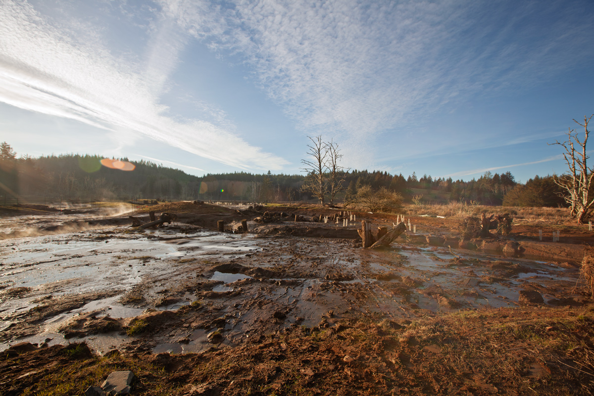
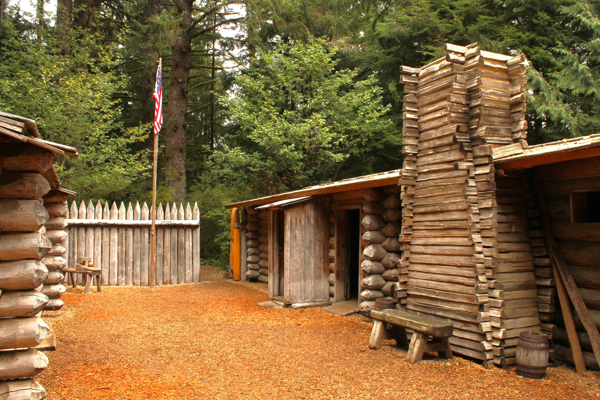
In 1805, Meriwether Lewis and William Clark, accompanied by their crew of explorers, paddled up a river that the local peoples called Netul, today called the Lewis and Clark River. On December 5, the expedition established their winter camp at a site on the riverbank that had been selected by Lewis.
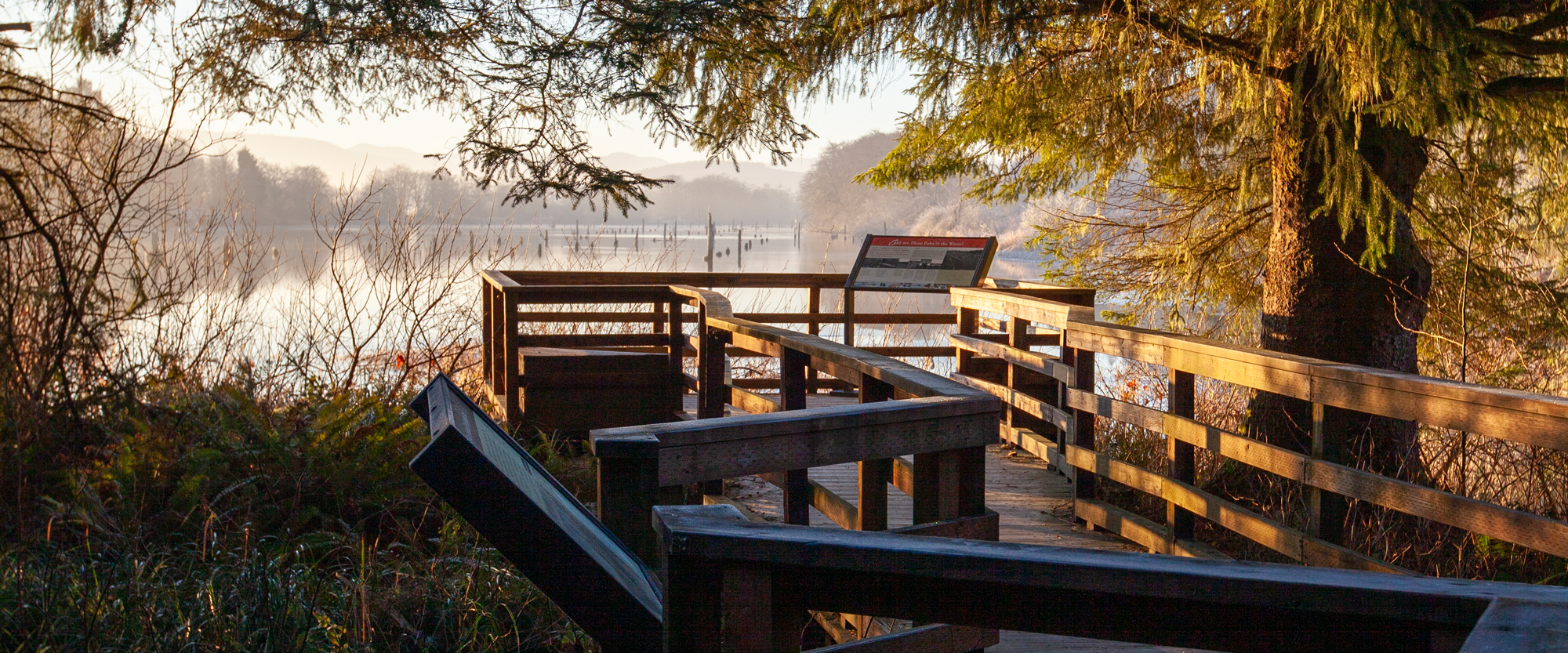
To reach the wooded site that would become Fort Clatsop, the Corps paddled up the Netul River past lush riverbanks and tall evergreens teaming with wildlife, such as playful river otters and majestic bald eagles. Now the river is named after Lewis and Clark, but Netul Landing pays homage to the former name and is an excellent place to launch your kayak or canoe for a paddle trip.
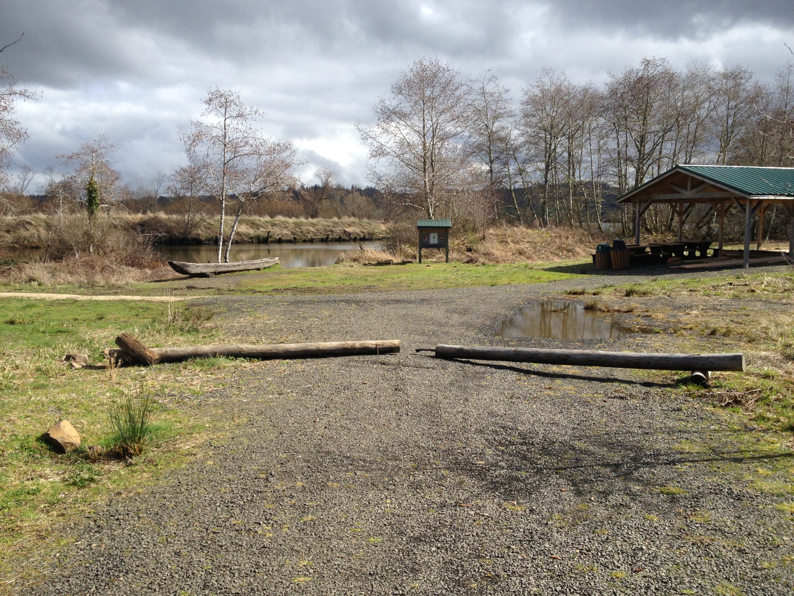
Today, Netul Landing and the Netul River Trail are both parts of the 146-mile Lewis and Clark River Water Trail, which traces the Corps of Discovery’s route along the Lower Columbia River. Kayakers and canoe enthusiasts can launch their craft from Netul Landing, which serves as the trailhead of the Netul River Trail. Visitors may also register for ranger-guided canoe and kayak trips during the summer.
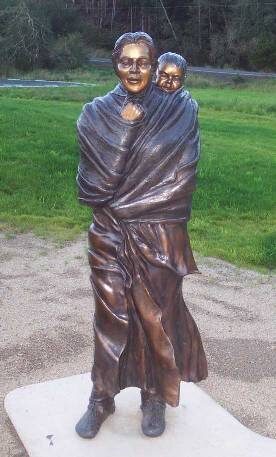
The river trail is a 1.5-mile gentle walk along the river to Fort Clatsop. Visitors may park in the parking area and follow the trail to the Fort Clatsop Visitor Center, where they will learn about the area’s history. At the landing and along the trail, interpretive panels are installed that discuss Lewis and Clark’s time here. Netul Landing also offers a life-sized bronze statue of Sacagawea from sculptor Jim Demetro, the Shoshone woman who accompanied the Corps to the Pacific Ocean.
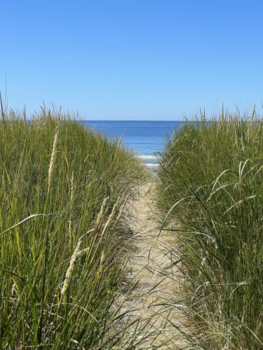
Visitors are required to pay an entrance fee to Lewis and Clark National Historical Park, which can be paid at the visitor center. Visitors can park their car in the nearby parking areas and walk to the Visitor Center at Fort Clatsop to continue their own journey into local history, or connect up with the Fort to Sea trail and trace the Corps’ trip to Sunset Beach. For more information, call the park at (503) 861-2471.
Fort Clatsop Visitor Center, Fort Clatsop Road, Astoria, OR, USA
Distance: 0.89 mi (straight line)
Fort Clatsop Visitor Center, Fort Clatsop Road, Astoria, OR, USA
Distance: 0.89 mi (straight line)
LC Features Museums and Interpretive Centers Walks and Hikes Outdoor Experiences
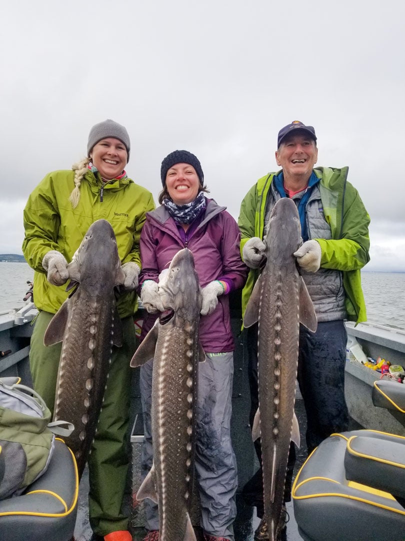
Astoria Fishing Charters and Guide Service, Aspmo Road, Astoria, OR, USA
Distance: 2.71 mi (straight line)
Cullaby Lake County Park, Hawkins Road, Warrenton, OR, USA
Distance: 2.97 mi (straight line)

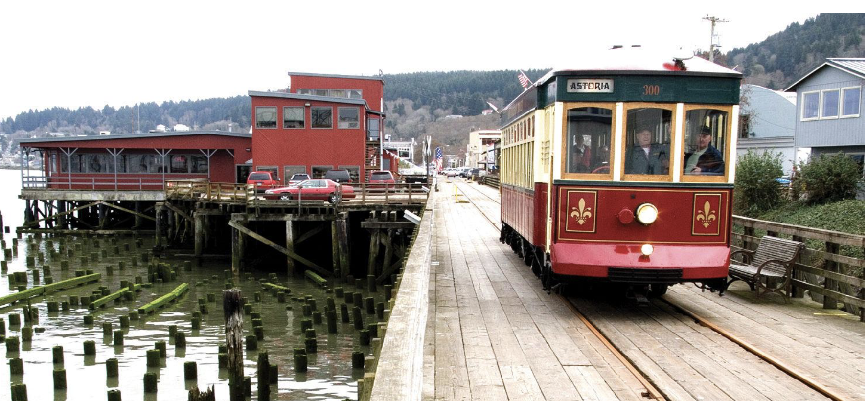
Astoria Riverfront Trolley, Industry Street, Astoria, OR, USA
Distance: 4.50 mi (straight line)
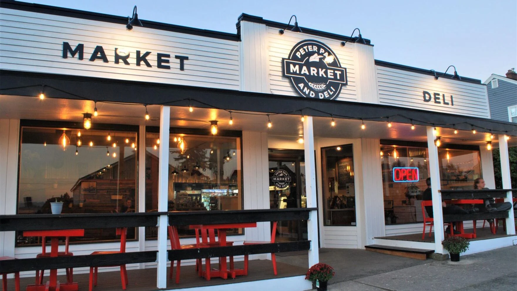
Peter Pan Market & Deli, Niagara Avenue, Astoria, OR, USA
Distance: 4.57 mi (straight line)
Astoria Riverwalk Inn, Industry Street, Astoria, OR, USA
Distance: 4.70 mi (straight line)
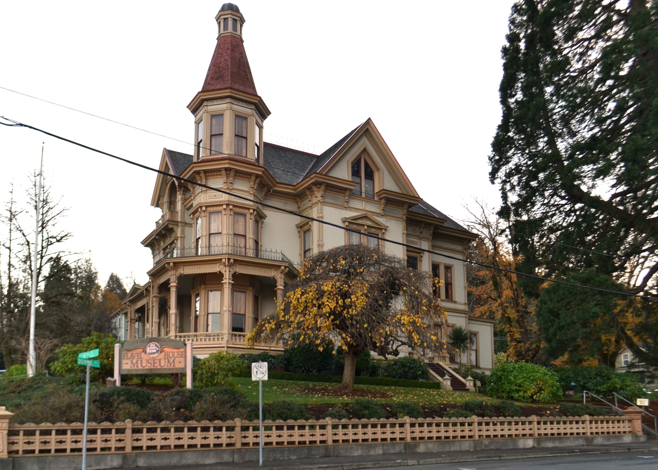
Flavel House Museum, Exchange Street, Astoria, OR, USA
Distance: 4.97 mi (straight line)
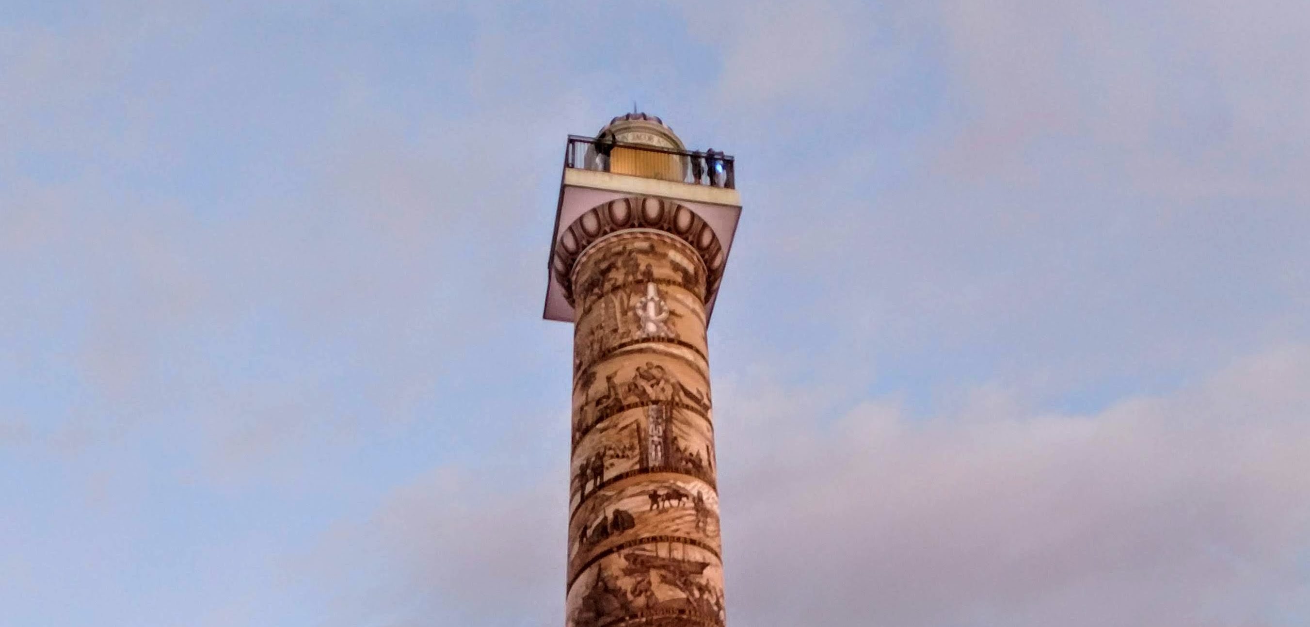
Astoria Column, Coxcomb Drive, Astoria, OR, USA
Distance: 4.99 mi (straight line)
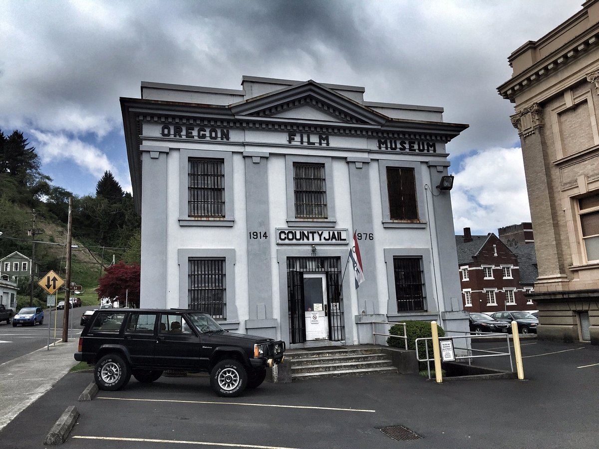
Oregon Film Museum, Duane Street, Astoria, OR, USA
Distance: 5.02 mi (straight line)
First Pass Outfitters, Commercial Street, Astoria, OR, USA
Distance: 5.06 mi (straight line)
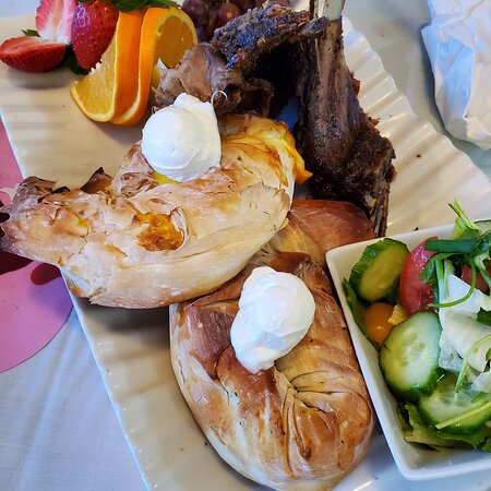
Drina Daisy Bosnian Restaurant, Commercial Street, Astoria, OR, USA
Distance: 5.08 mi (straight line)
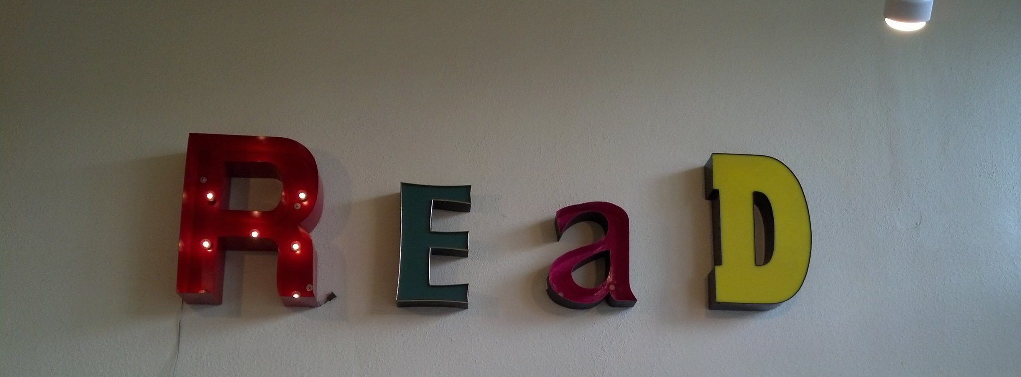
Lucy's Books, Commercial Street, Astoria, OR, USA
Distance: 5.09 mi (straight line)
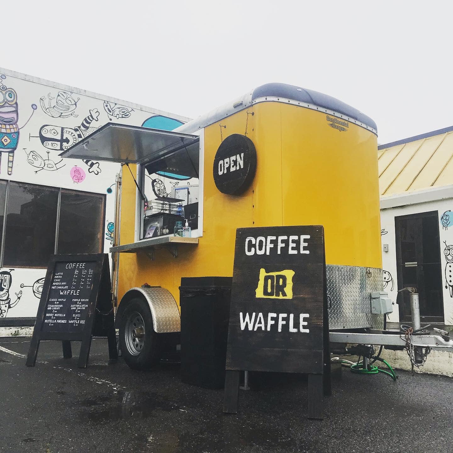
Coffee OR Waffle, 11th Street, Astoria, OR, USA
Distance: 5.09 mi (straight line)

Blaylock's Whiskey Bar, 13th Street, Astoria, OR, USA
Distance: 5.10 mi (straight line)
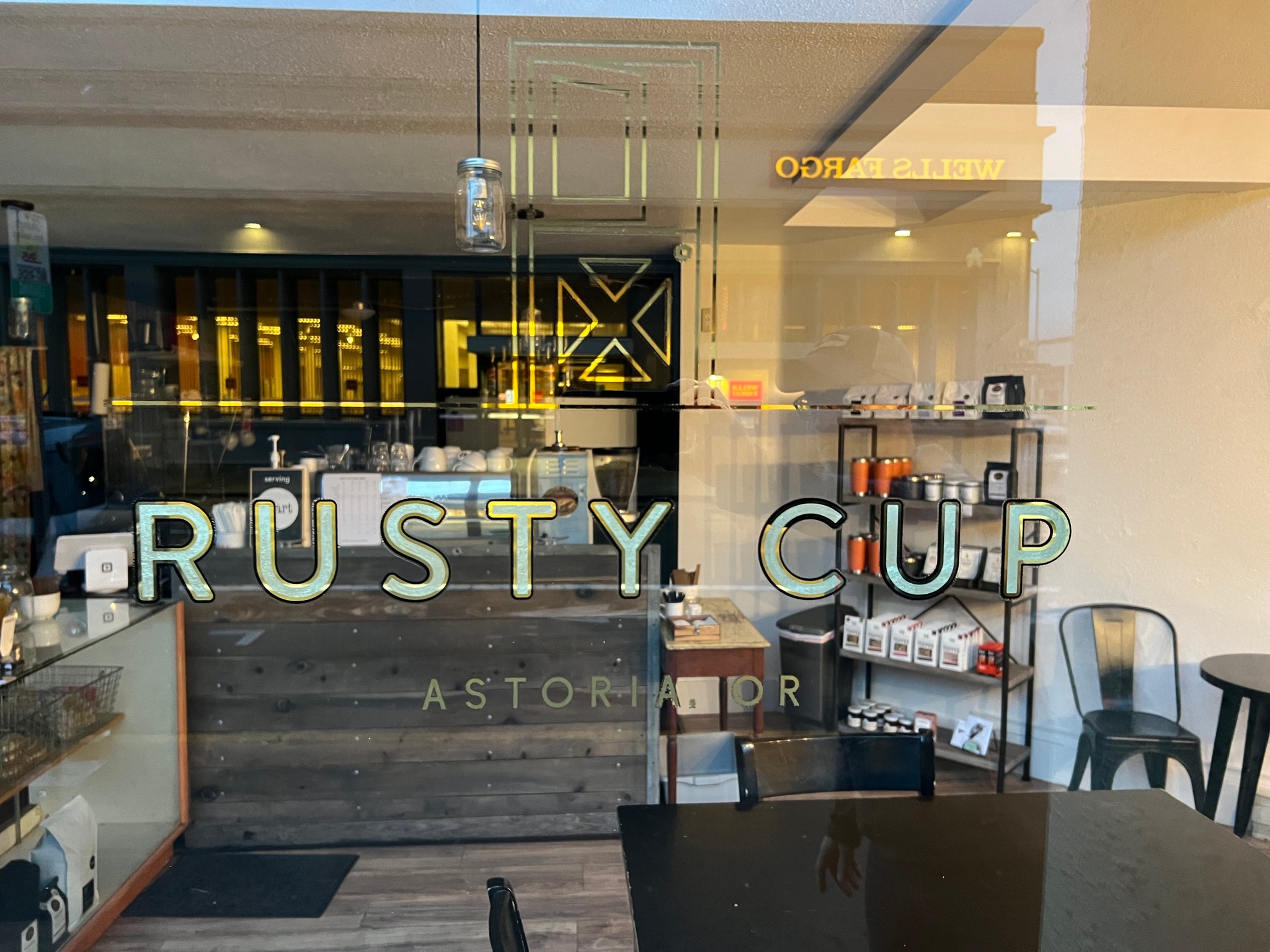
Rusty Cup, Commercial Street, Astoria, OR, USA
Distance: 5.15 mi (straight line)

Heritage Museum, Exchange Street, Astoria, OR, USA
Distance: 5.21 mi (straight line)
Our bi-weekly newsletter provides news, history, and information for those interested in traveling along along the Lewis & Clark Trail.


