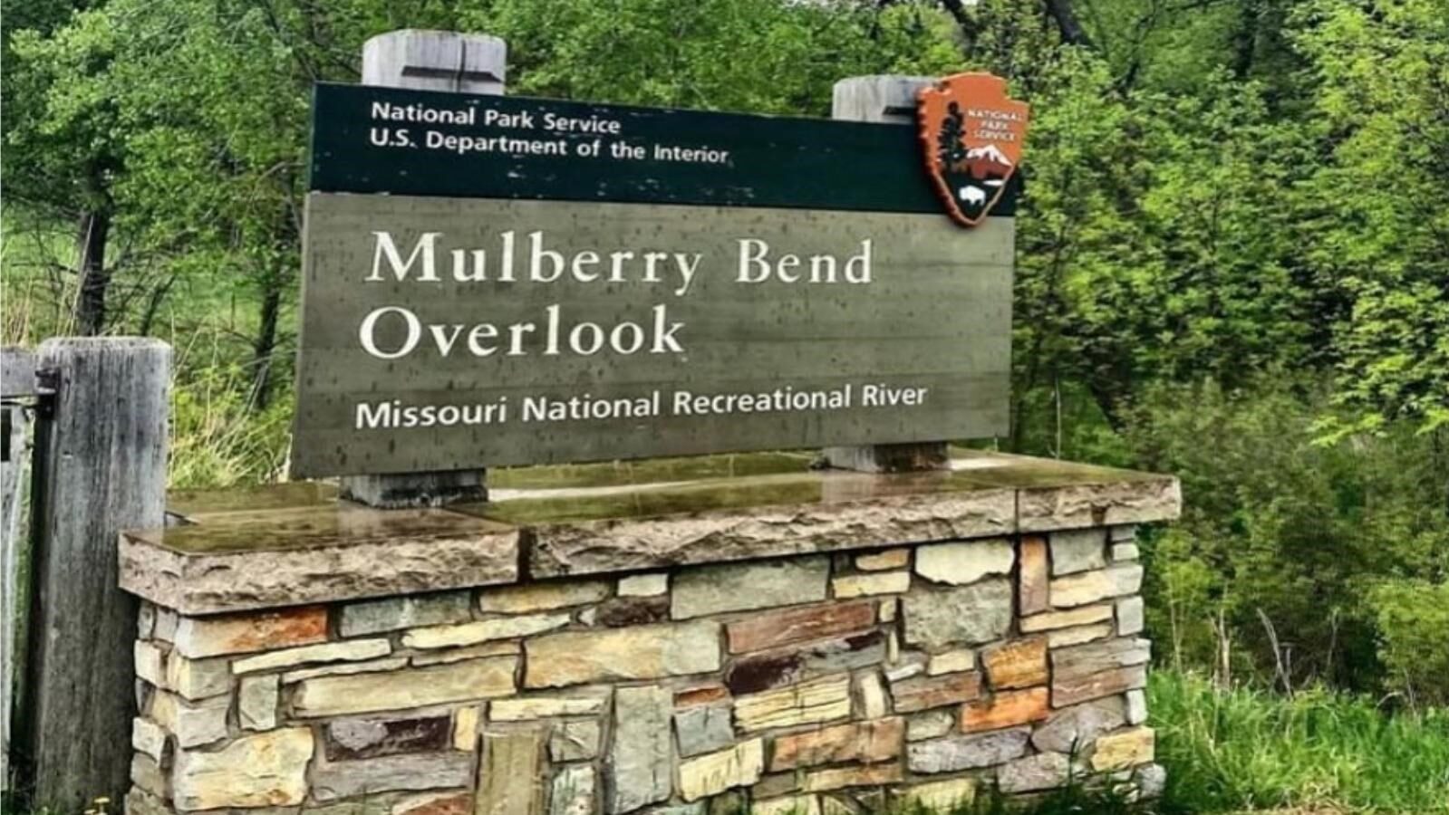
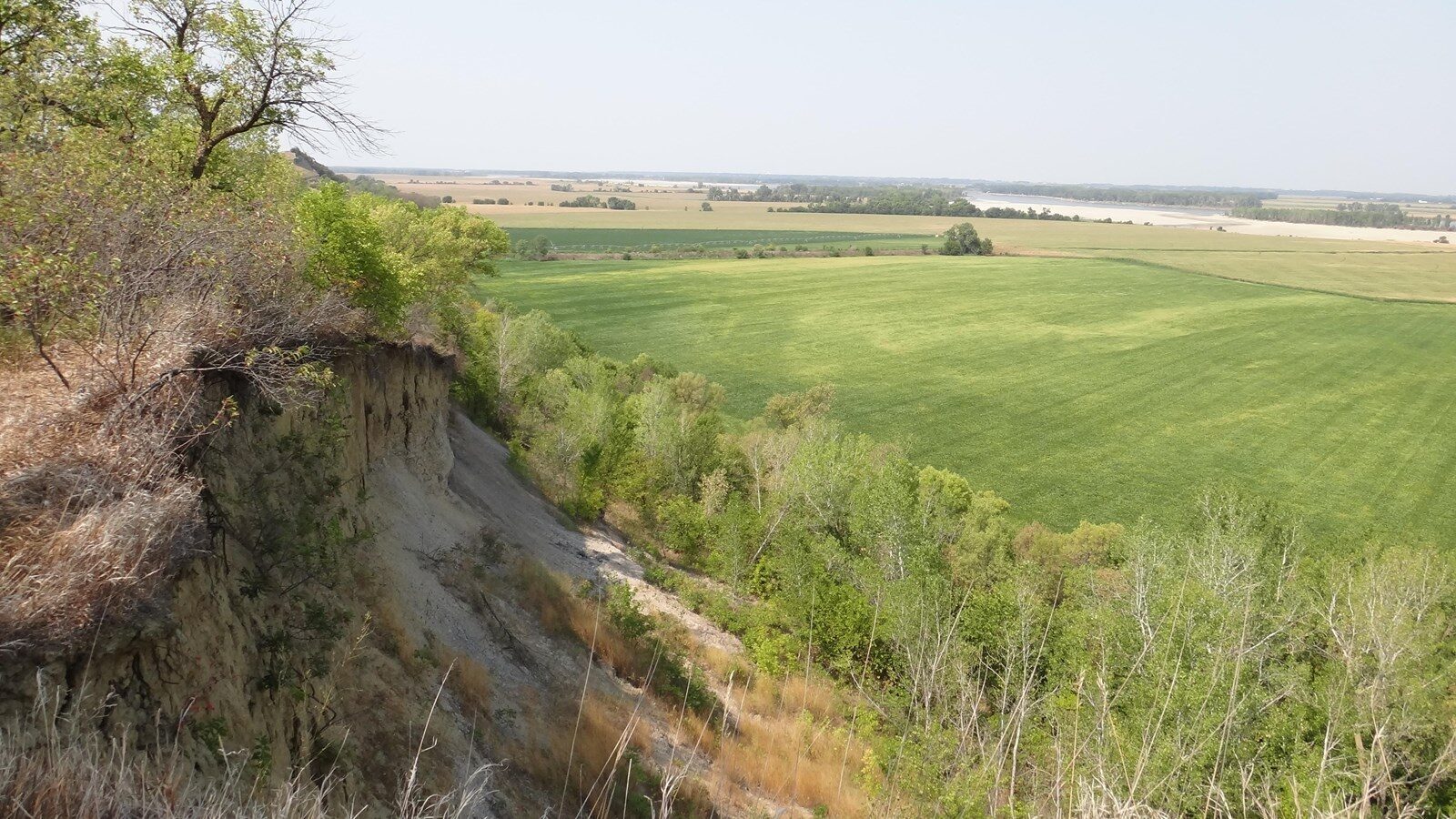
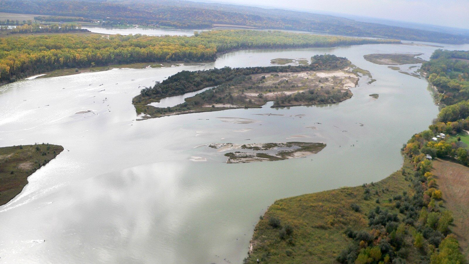
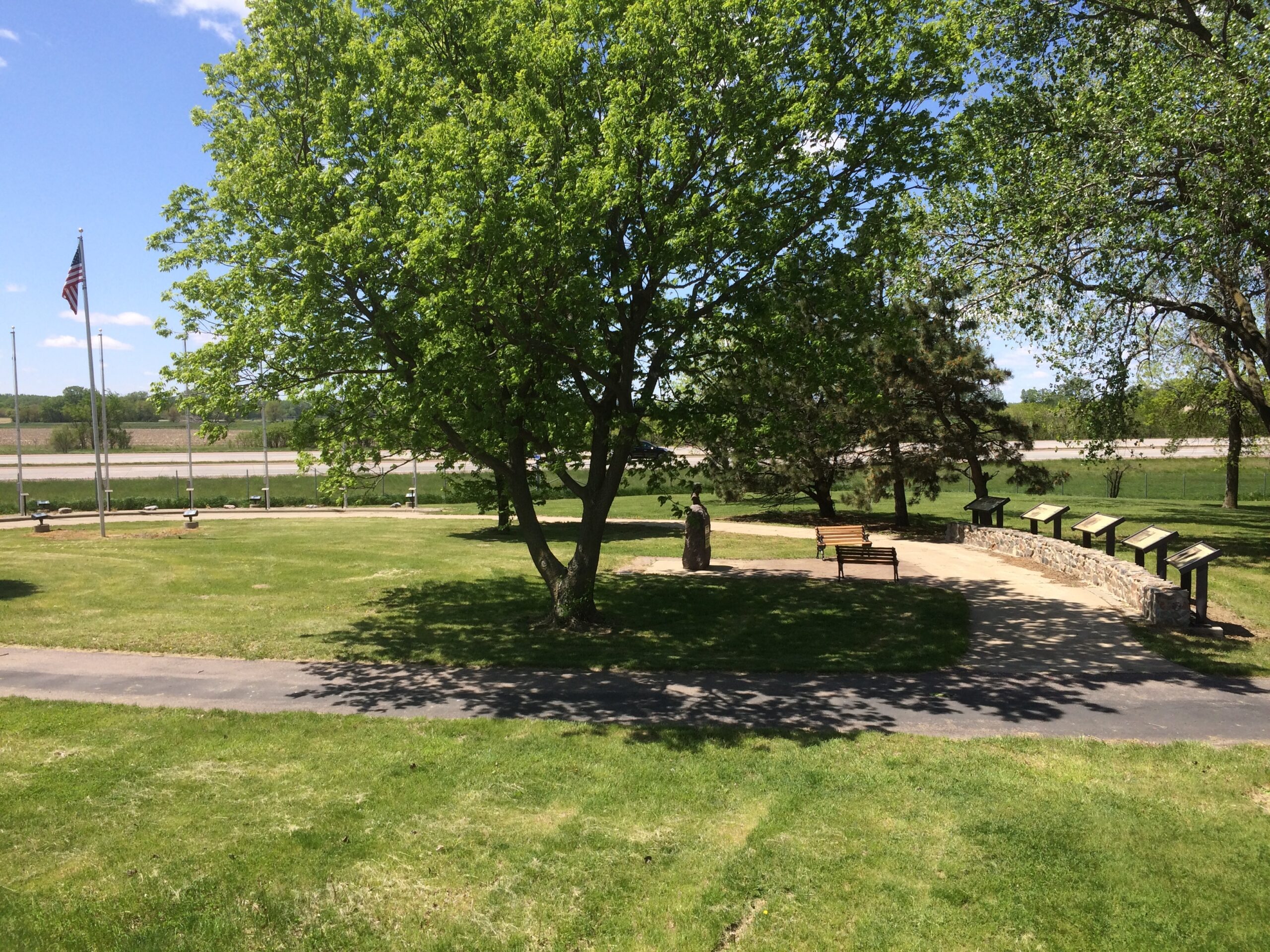
Mulberry Bend Overlook
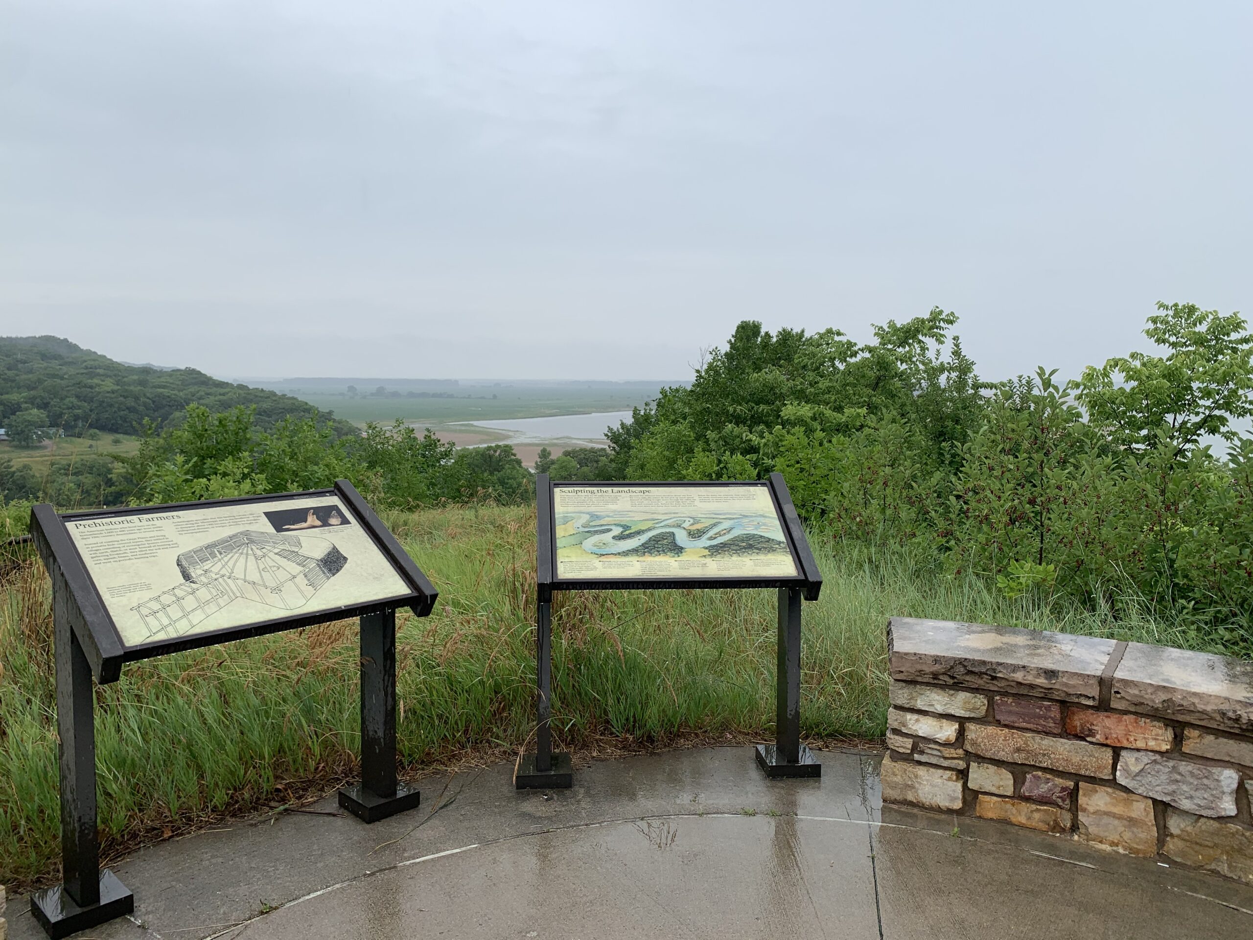
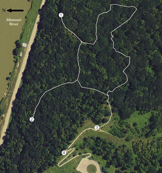
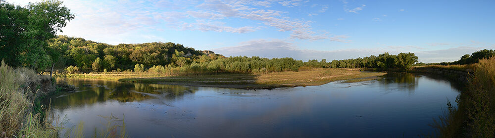
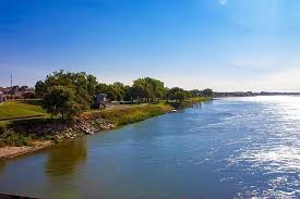
A dramatic view of the Missouri National Recreational River awaits visitors at Mulberry Bend Overlook. From the parking area, a short paved trail leads to two overlooks that offer views of a free flowing segment of the Missouri. This portion of the river exhibits characteristics that were common hundreds of years ago but are no longer seen on the “man-made” portions of the river.
At the first overlook, exhibits provide information about the national park and early American Indians who inhabited the region. At the uppermost overlook, exhibits interpret the river’s hydrology, the surrounding forest and a flood that devastated the town of Vermillion in 1881.
The paved trail rises 60 feet to the top and is wheelchair accessible to the first overlook. A picnic table and vault toilet is available near the parking lot.
The section of the Missouri River surrounding Mulberry Bend not only has exceptional views, but also a rich historical legacy. The first known inhabitants were American Indian tribes which settled the area as early as 6,000 years ago. These groups built villages consisting of permanent houses covered with earth and wood. The Mulberry Bend area was visited on August 24, 1804 by the Lewis and Clark Expedition. Their team explored the areas surrounding the river, including Spirit Mound. Clark writes in his journal of an abundance of deer present in the area, which the crew hunted for food. Lewis and Clark traveled on a very different river than the one today, partly due to the Missouri River Flood of 1881. Massive blocks of ice and the thawing river created a new river channel (present-day Mulberry Bend), rerouting the Missouri River five miles south and destroying the town of Vermillion.
In November 2001, the Vermillion-Newcastle Bridge was officially completed by Nebraska Department of Roads. The National Park Service acquired the Mulberry Bend Overlook as mitigation for the bridge in 2002.
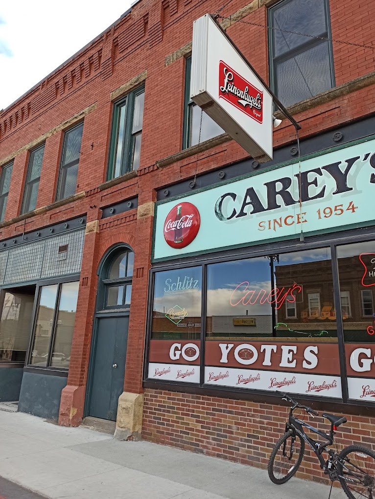
Carey's Bar, West Main Street, Vermillion, SD, USA
Distance: 4.58 mi (straight line)
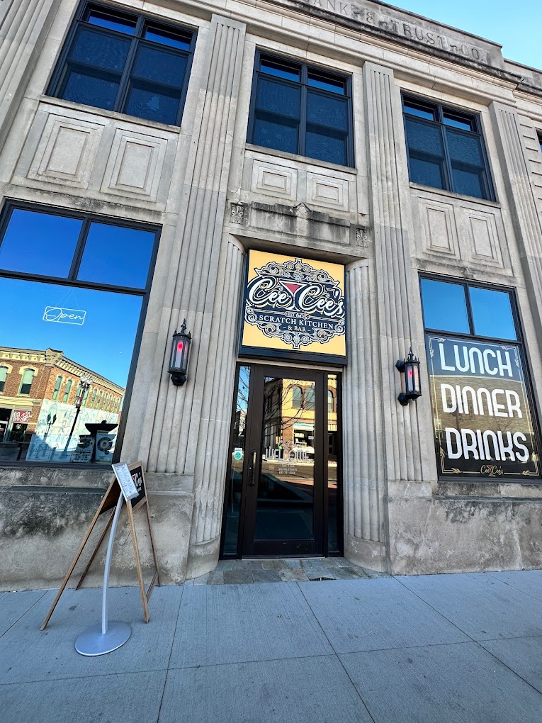
Cee Cee's 605 Scratch Kitchen & Bar, East Main Street, Vermillion, SD, USA
Distance: 4.60 mi (straight line)
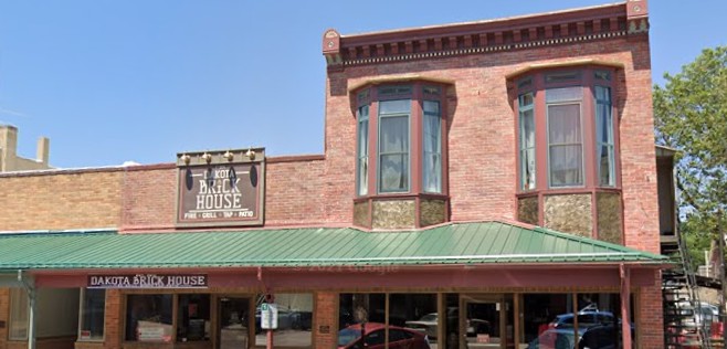
Dakota Brick House, West Main Street, Vermillion, SD, USA
Distance: 4.61 mi (straight line)
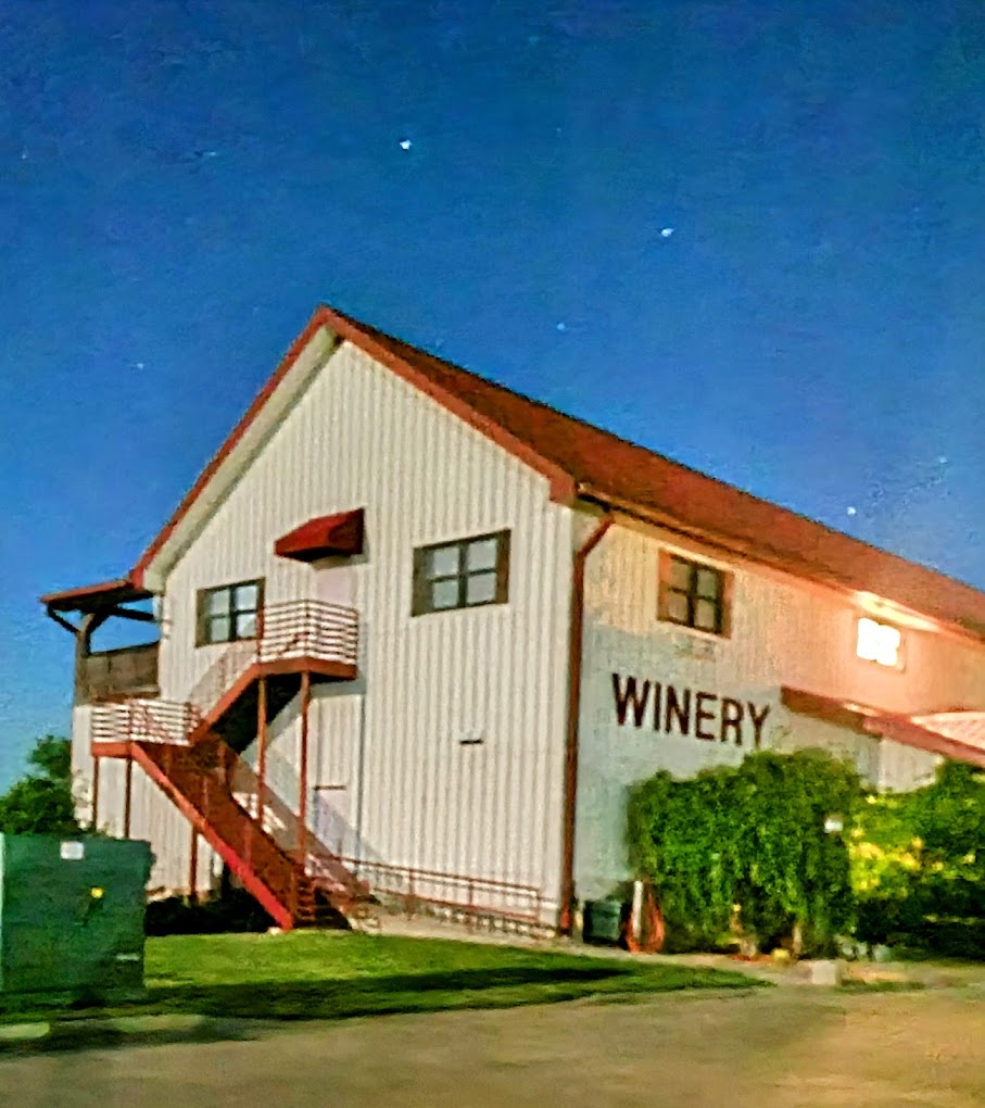
Valiant Vineyards Winery & Distillery, West Main Street, Vermillion, SD, USA
Distance: 4.65 mi (straight line)
Breweries and Distilleries Farms Food and Drinks Outdoor Experiences

National Music Museum, E Clark St, Vermillion, SD, USA
Distance: 4.91 mi (straight line)

Goat Island, Nebraska, USA
Distance: 7.02 mi (straight line)
Prairiesun Organic Farm, 316th St, Vermillion, SD, USA
Distance: 7.13 mi (straight line)
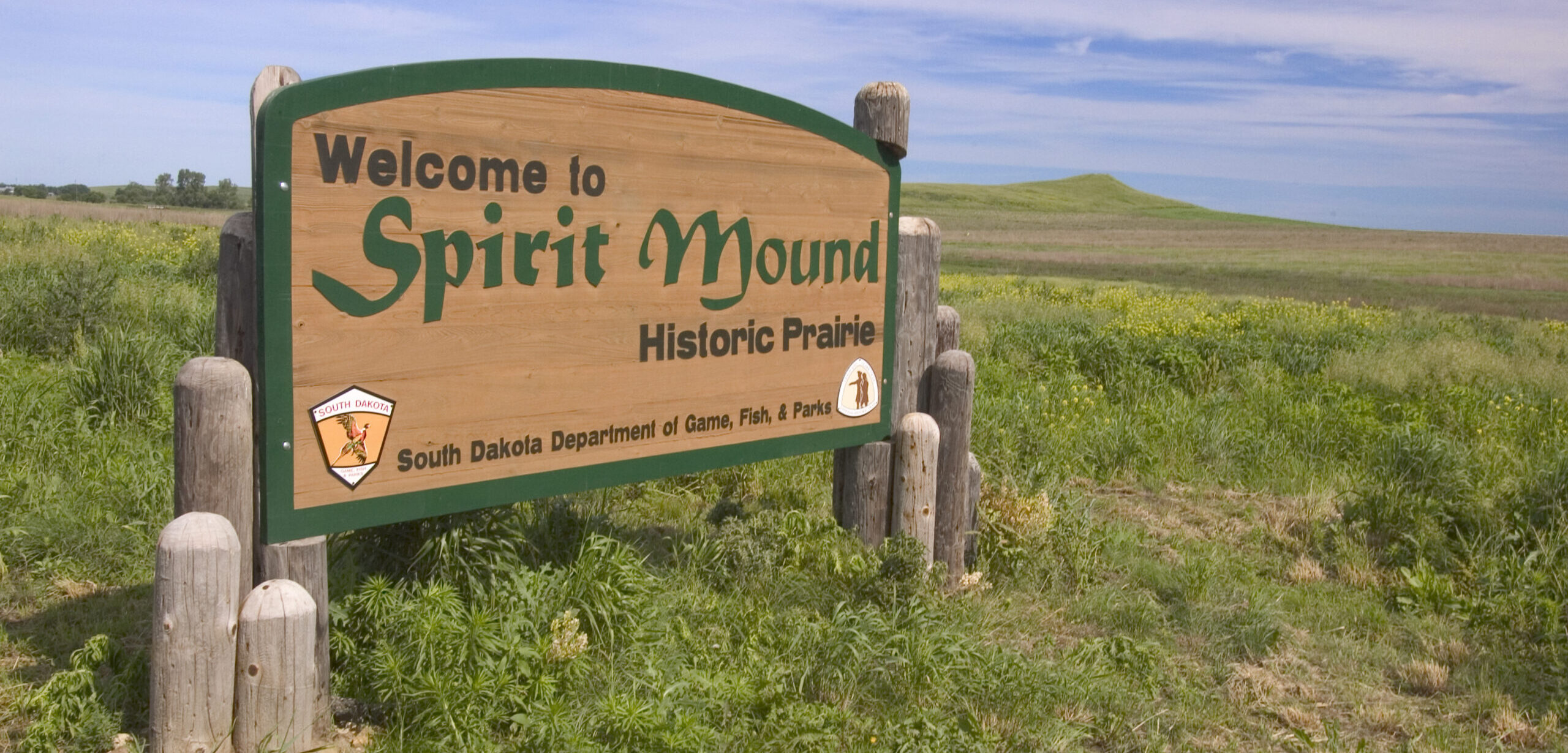
Spirit Mound, SD, USA
Distance: 10.53 mi (straight line)
Outdoor Experiences Walks and Hikes Tribal Experiences LC Features
Bow Creek Recreation Area, Unnamed Rd, Wynot, NE, USA
Distance: 10.86 mi (straight line)
Heritage Park, South Harrison Street, Elk Point, SD, USA
Distance: 13.30 mi (straight line)
Elk Cabin, 88090 Spur 26 E, Ponca, NE 68770, USA
Distance: 14.83 mi (straight line)
Museums and Interpretive Centers Outdoor Experiences Viewpoints
Missouri River Rafting, 450th Avenue, Gayville, SD, USA
Distance: 15.17 mi (straight line)
MFHM+83 Millnerville, IA, USA
Distance: 22.22 mi (straight line)
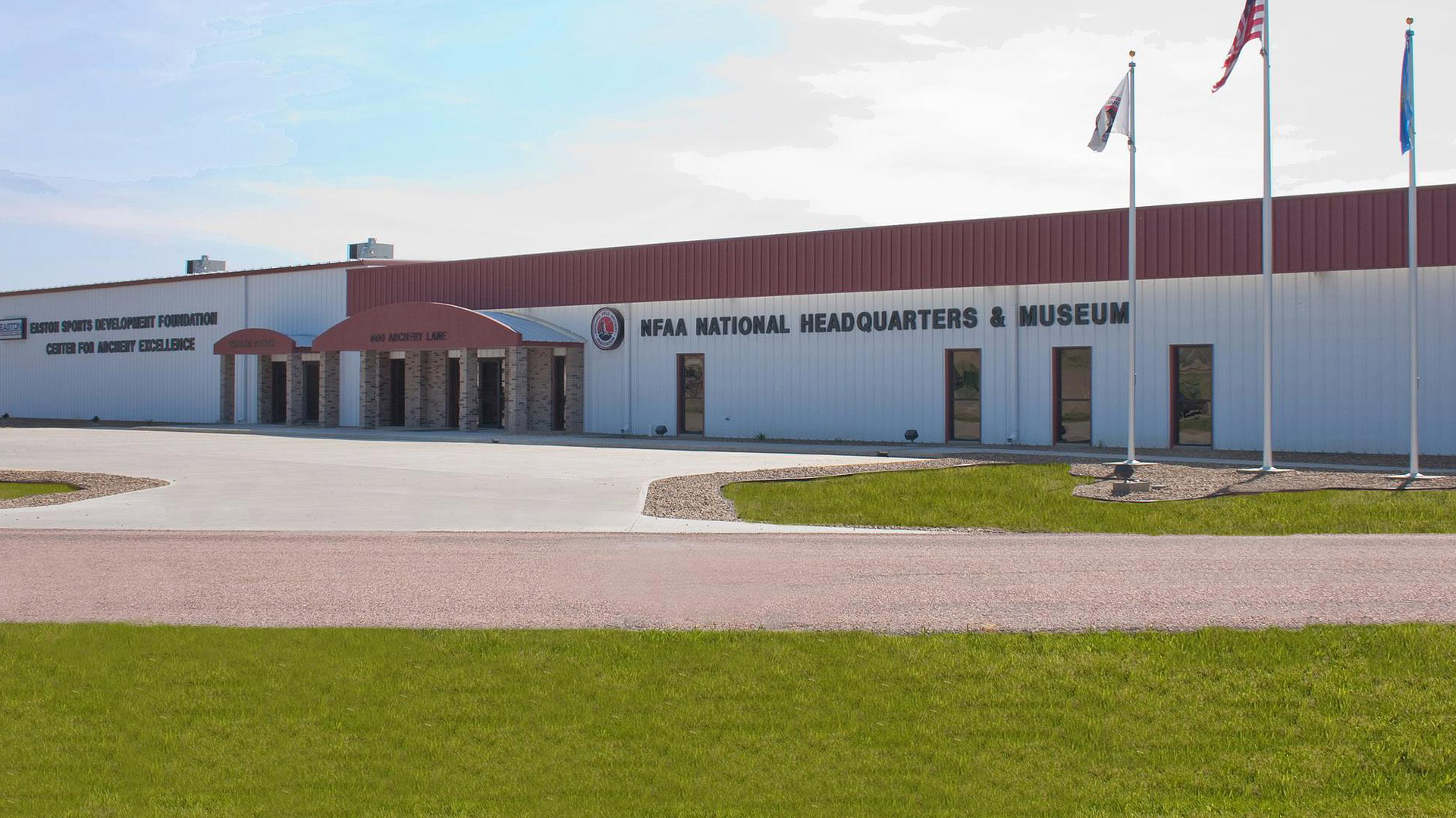
NFAA Easton Yankton Archery Center, Archery Lane, Yankton, SD, USA
Distance: 23.80 mi (straight line)
Riverside Park, Levee Street, Yankton, SD, USA
Distance: 24.45 mi (straight line)
272 Westshore Dr, North Sioux City, SD 57049, USA
Distance: 24.72 mi (straight line)
Our bi-weekly newsletter provides news, history, and information for those interested in traveling along along the Lewis & Clark Trail.


