Oregon visitors can reach Mount Jefferson in the Mt. Jefferson Wilderness Area, Willamette National Forest. Be sure to hire a local guide for trips into the Willamette National Forest.
The peak of the second tallest mountain in the State of Oregon, Mount Jefferson, also known as Seekseekqua, was first seen by the Lewis and Clark Expidition from the mouth of the Willamette River.
At the end of what could only have been a miserable day, William Clark wrote in his journal: “We made 22 Miles only to day the wind and a strong current being against us all day, with rain. Discovered a high mountain S E. Covered with Snow which we call Mt. Jefferson.”
The day was March 30, 1806, and Clark, Meriwether Lewis, and the Corps of Discovery had been on the homeward trail for just five days since leaving Fort Clatsop. They named the towering peak after President Thomas Jefferson, the only volcanic peak they named of the five observed rising over the Cascade Range. At 10,495 feet in elevation, Mount Jefferson ranks as the second highest peak in Oregon.
Mount Jefferson is a stratovolcano that has erupted periodically over the past 300,000 years. The volcano can produce large, explosive eruptions, and the last one was about 15,000 years ago. Smaller events have also occurred, including lava flows and lahars. Much of Mount Jefferson’s history is unknown since erosion by glaciers has long since erased the evidence of past eruptions. Even today, the mountain is covered in glaciers, making it a significant challenge for climbers.
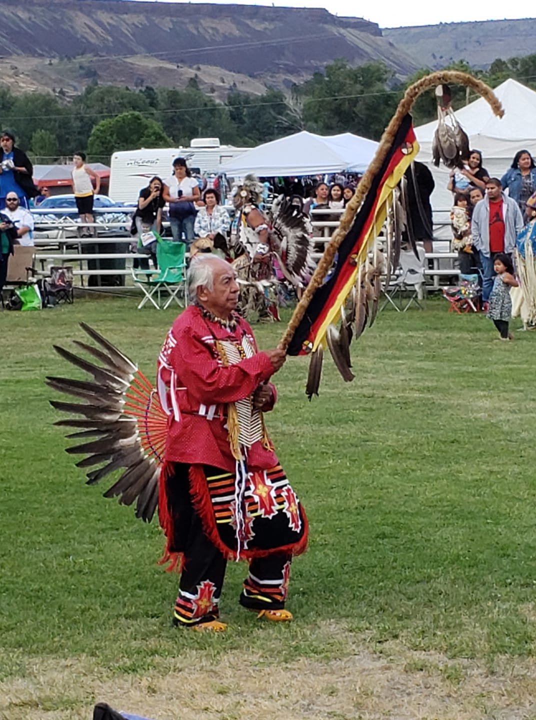
2200 Hollywood Blvd, Warm Springs, OR, USA
Distance: 26.74 mi (straight line)
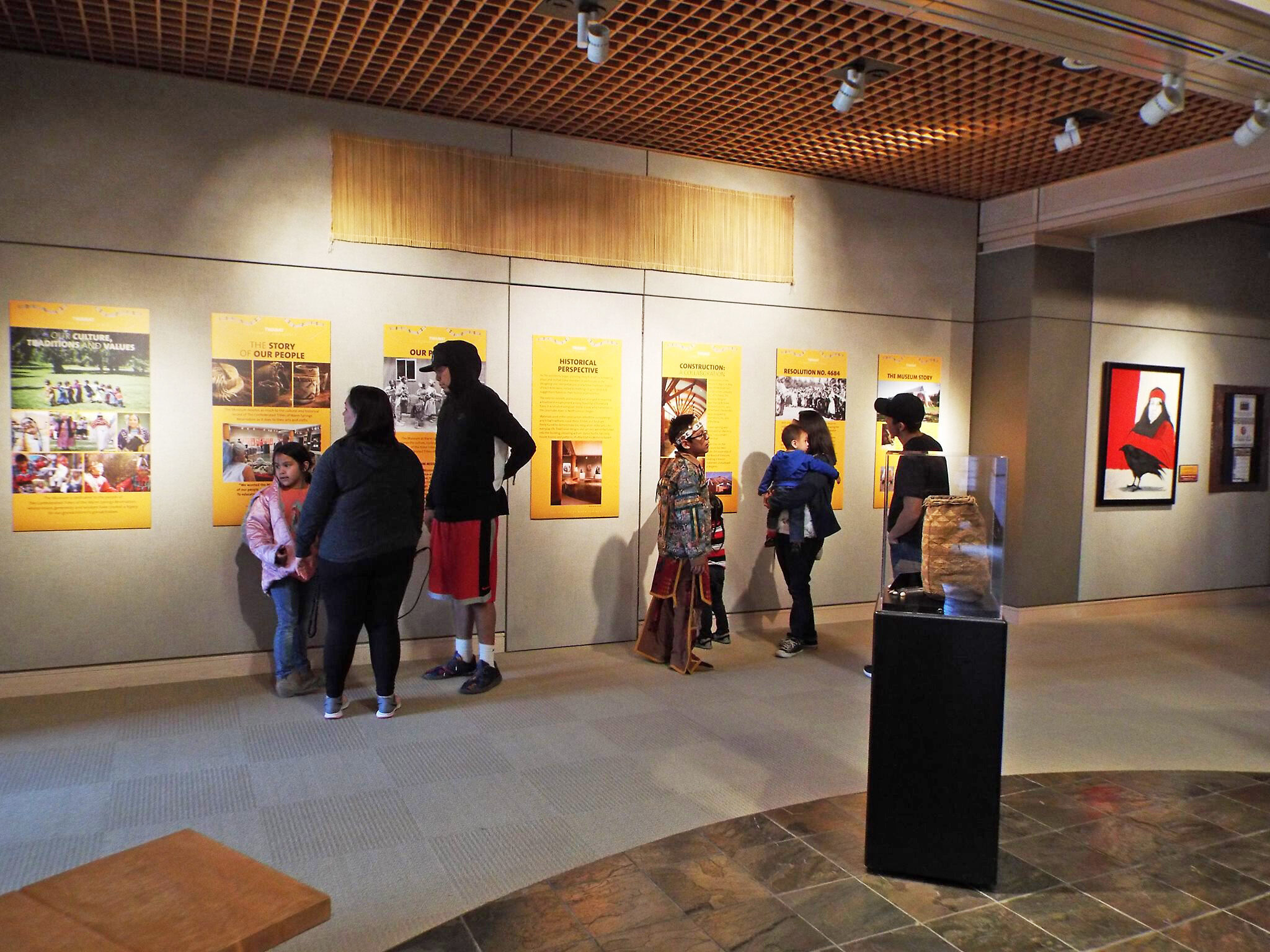
Museum At Warm Springs, U.S. 26, Warm Springs, OR, USA
Distance: 27.65 mi (straight line)
Museums and Interpretive Centers Tribal Experiences Shopping
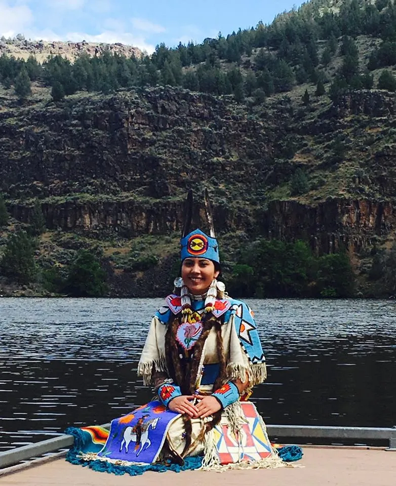
Salmon King Fisheries, Walsey Lane, Metolius, OR, USA
Distance: 27.68 mi (straight line)
Simnasho Longhouse, Simnasho, Warm Springs, OR 97761, USA
Distance: 30.15 mi (straight line)
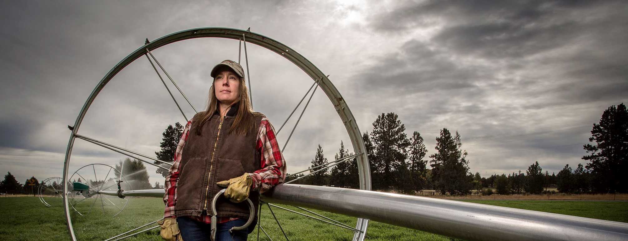
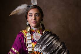
Boulder Falls Inn Event Center, 605 Mullins Drive, Lebanon, OR 97355, USA
Distance: 55.25 mi (straight line)
Aldersgate Camps & Retreats, 7790 Marion Road Southeast, Turner, Oregon, USA
Distance: 57.29 mi (straight line)
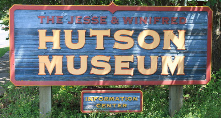
Hutson Museum, Baseline Drive, Mount Hood, OR, USA
Distance: 59.23 mi (straight line)
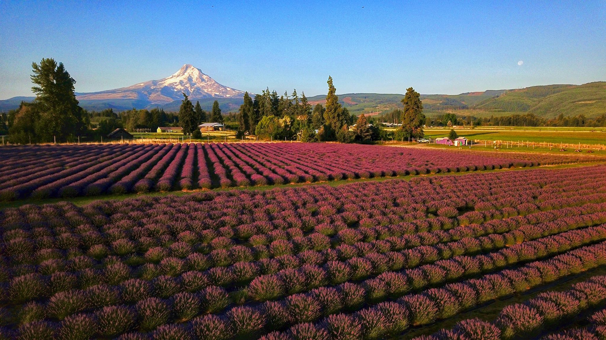
5965 Boneboro Road, Mount Hood, OR 97041, USA
Distance: 61.72 mi (straight line)
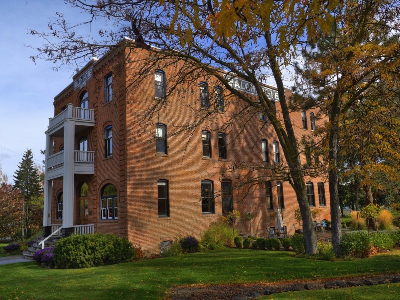
Balch Hotel, Heimrich Street, Dufur, OR, USA
Distance: 62.76 mi (straight line)
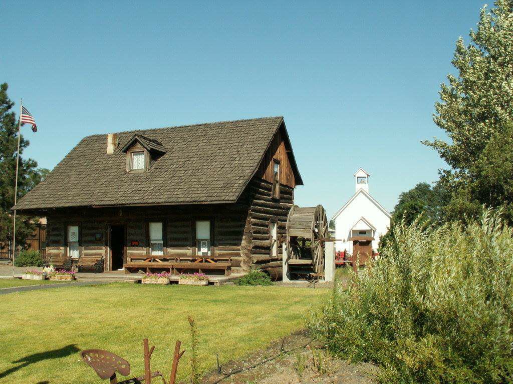
40 Main St, Dufur, OR 97021, USA
Distance: 62.84 mi (straight line)
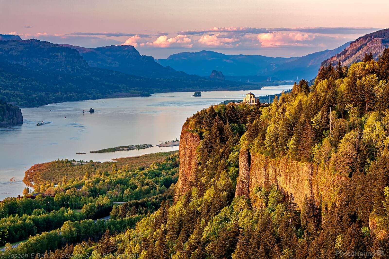
Portland Women's Forum State Scenic Viewpoint, Historic Columbia River Highway, Corbett, OR, USA
Distance: 63.56 mi (straight line)
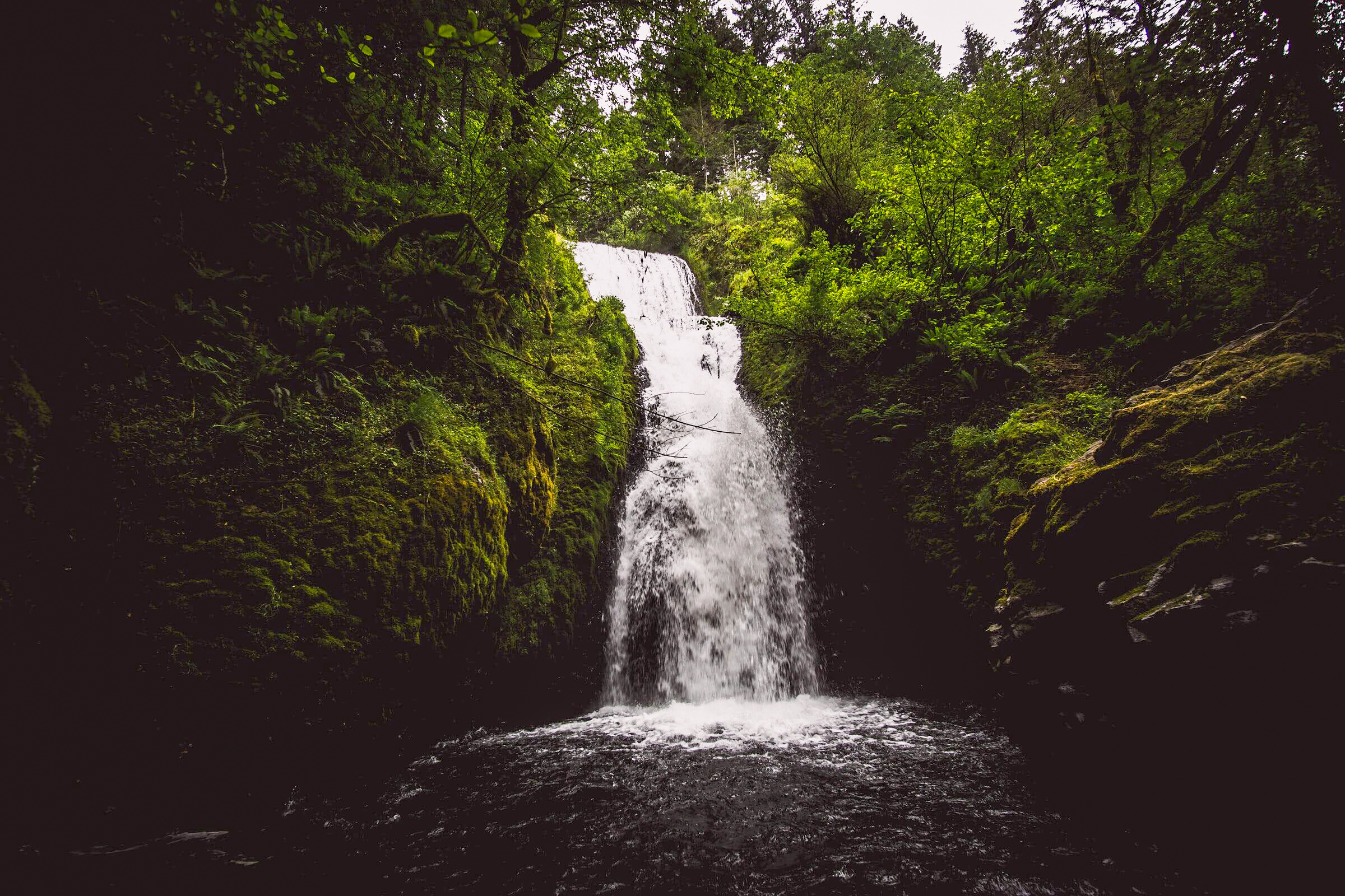
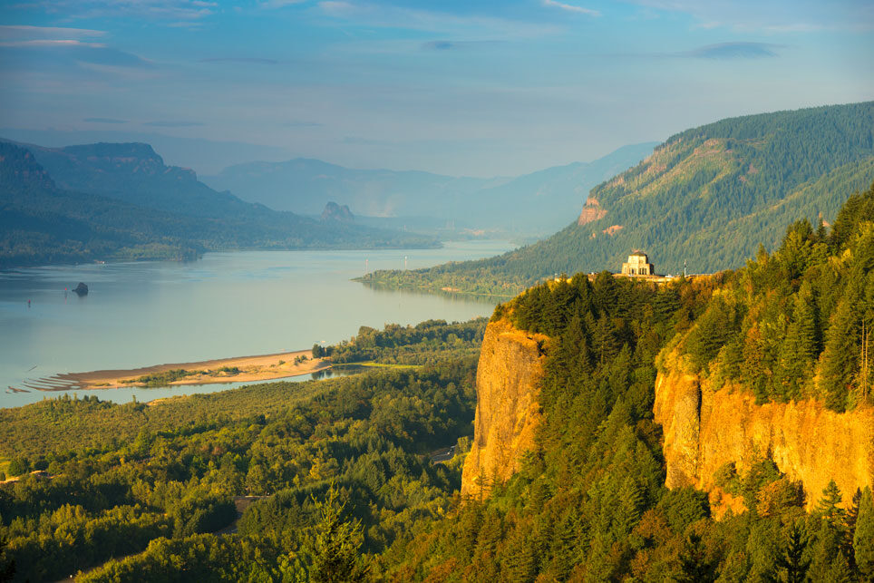
Vista House, Historic Columbia River Highway, Corbett, OR, USA
Distance: 63.60 mi (straight line)
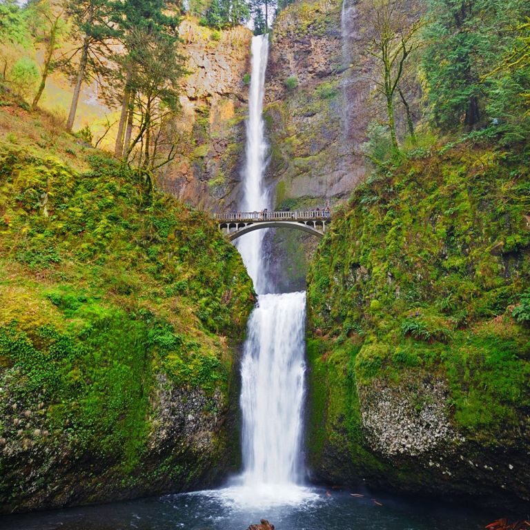
Multnomah Falls Lodge, Historic Columbia River Highway, Bridal Veil, OR, USA
Distance: 64.30 mi (straight line)
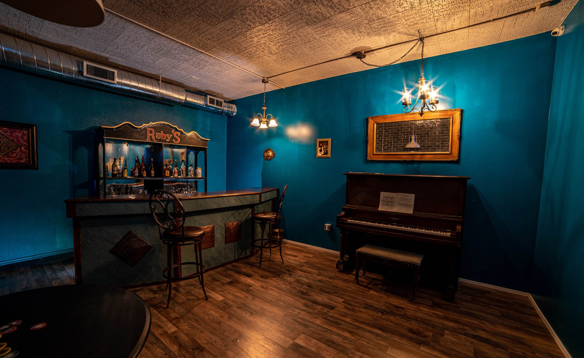
Cine escapes, Northeast 2nd Street, Gresham, OR, USA
Distance: 64.70 mi (straight line)
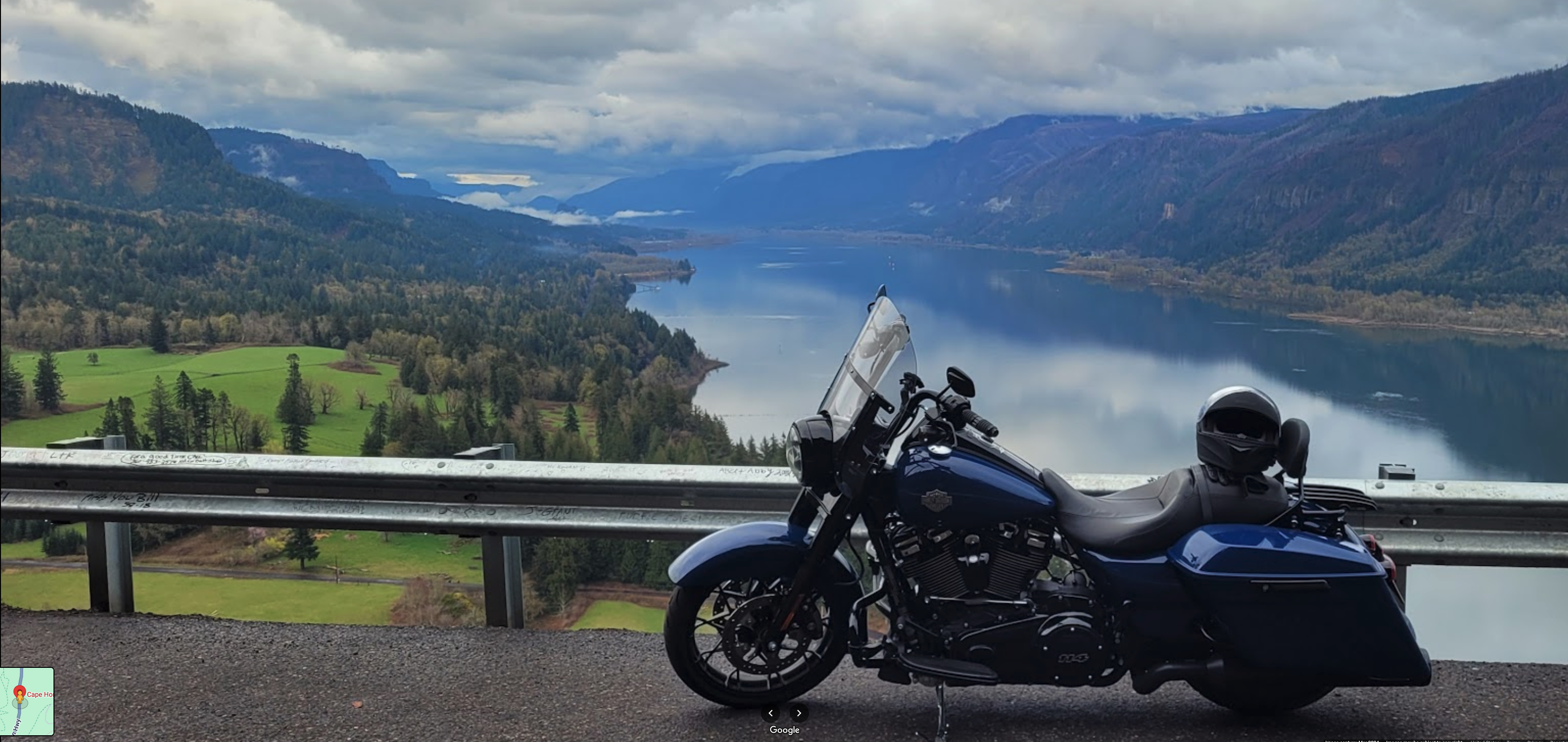
Cape Horn lookout, Evergreen Highway, Washougal, WA, USA
Distance: 65.23 mi (straight line)
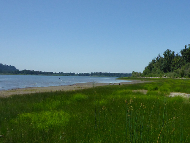
Reed Island State Park, Washougal, WA, USA
Distance: 65.55 mi (straight line)
Our bi-weekly newsletter provides news, history, and information for those interested in traveling along along the Lewis & Clark Trail.