Lower Brule Sioux Tribe

The Lower Brule Sioux Tribe, traditionally known as Kul Wicasa Oyate, have inhabited much of South Dakota from the Rocky Mountains to the Great Lakes and the Missouri River. Their original territory has shrunk through a series of treaties and have limited their tribal lands from 1825 onward.
Lewis and Clark visited the area twice, once in 1804 and again in 1806. They were warmly welcomed by the Lower Brule Tribe though they were only there for a short time. The Lower Brule people were accustomed to visitors and explorers traveling through the area and became known as diplomats, having had a visit from Welsh and Scottish explorers in 1796 who mapped the Missouri River.
The hill on the bend of the mighty Missouri River is a spot both recounted in the writing of Merriweather Lewis and again later by John James Audubon in 1943. This is an excellent location to visit and experience first-hand the views that both Lewis and Audubon witnessed. Below the hill is a solitary bench where visitors can enjoy the gorgeous landscape, as well as a traditional earth lodge. This is a top ten “must see” when visiting Lower Brule Sioux country.
The Lower Brule Sioux Tribe has a rich history that is deeply tied to their beautiful landscape, natural flora and wildlife. Today, the Lower Brule Tribe works closely with the government agencies to protect and preserve their lands and wildlife, especially their buffalo and elk herds, while still allowing people to visit. The Tribe is working with the U.S. Army Corps of Engineers to protect their lands from erosion along the river, and are partnering with the University of South Dakota to document traditional plants in a botanic survey.
The official Lower Brule Sioux Tribe Information Center and office is just 15 miles north of I-90 on Exit 248 by traveling the beautiful byway. The center is open from 8 am to 4:30 pm every day of the week and is an amazing place to learn about the Lower Brule Sioux Tribe’s history and culture, and it also has a gift shop. It’s the main base of operation for Tribal Government and their offices are housed in the same building.
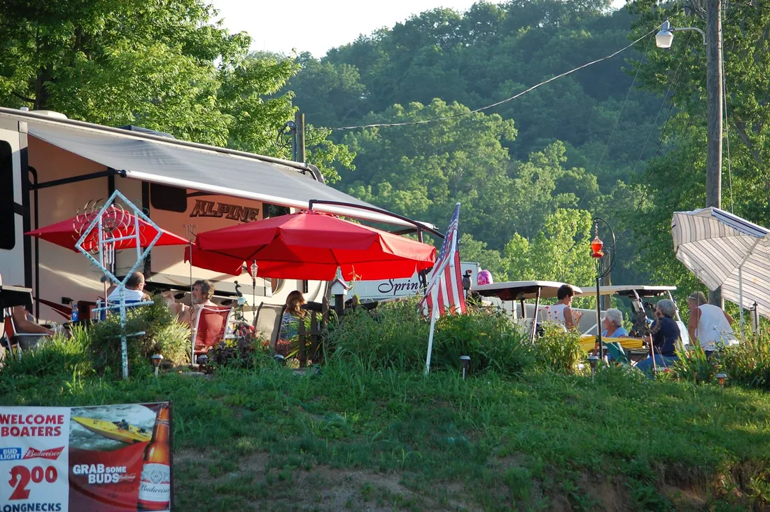
210 Sitting Bull St, Lower Brule, SD 57548, USA
Distance: 1.49 mi (straight line)
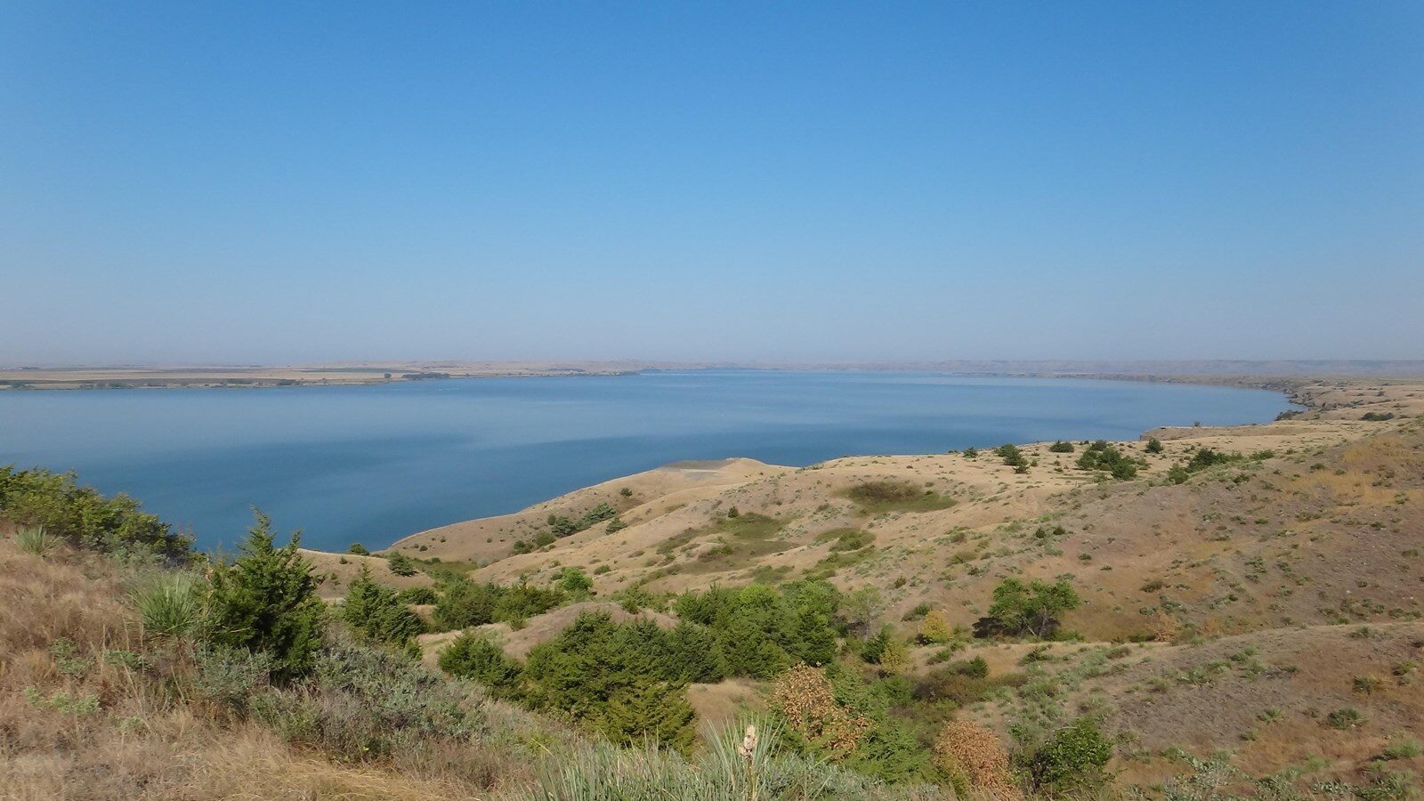
Big Bend, Crow Creek, SD, USA
Distance: 3.22 mi (straight line)
Outdoor Experiences Walks and Hikes
View Listing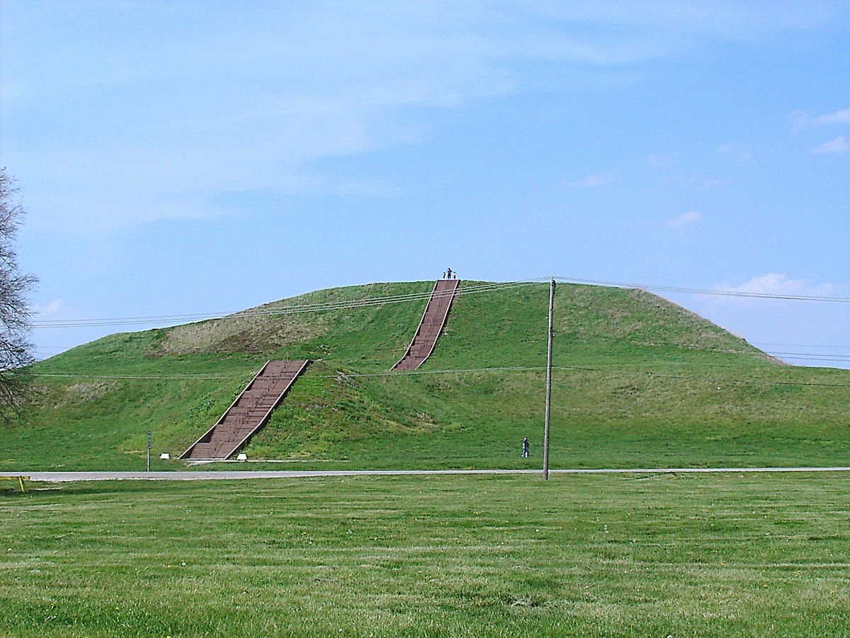
Fort Thompson Mounds, Fort Thompson, SD, USA
Distance: 11.81 mi (straight line)
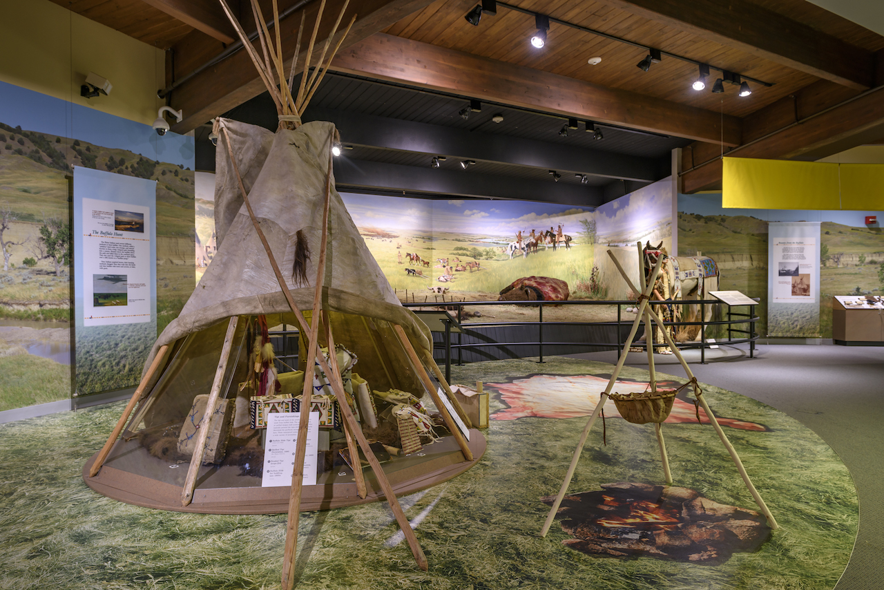
1301 North Main Street, Chamberlain, SD, USA
Distance: 22.40 mi (straight line)
Tribal Experiences Museums and Interpretive Centers
View Listing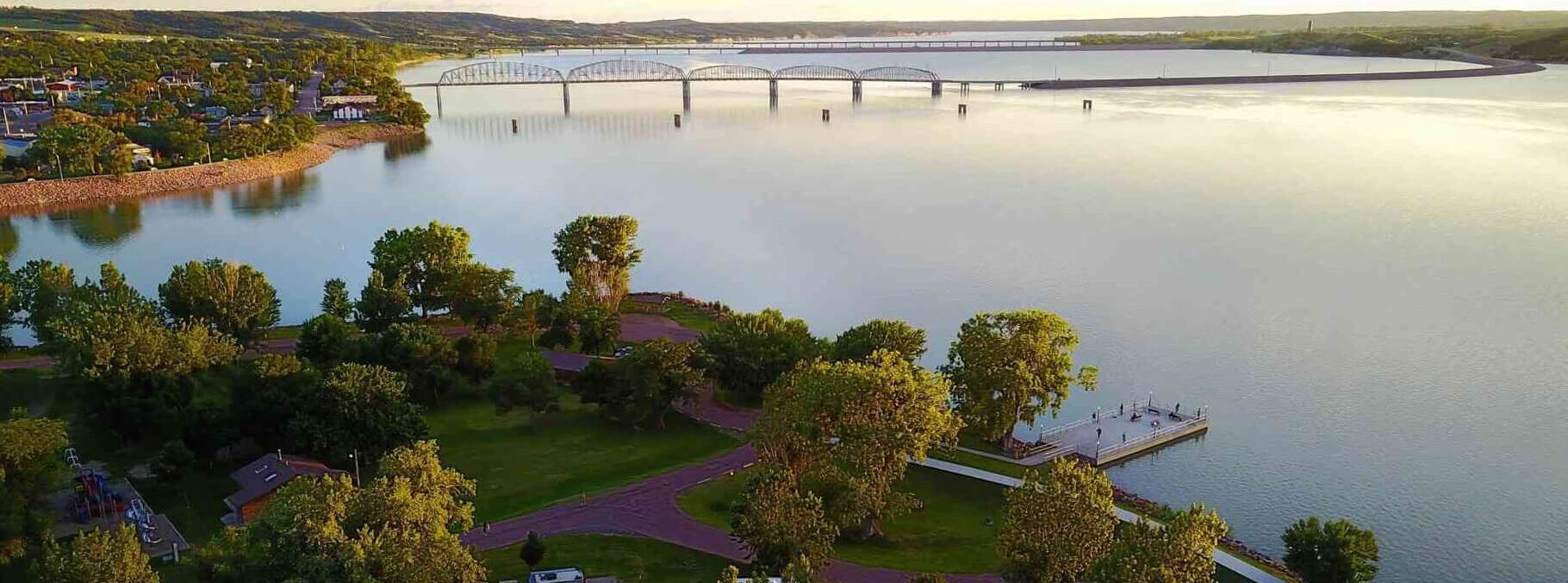
American Creek Recreation Area, North Main Street, Chamberlain, SD, USA
Distance: 22.75 mi (straight line)
Outdoor Experiences Shopping RV and Camping Lodging
View Listing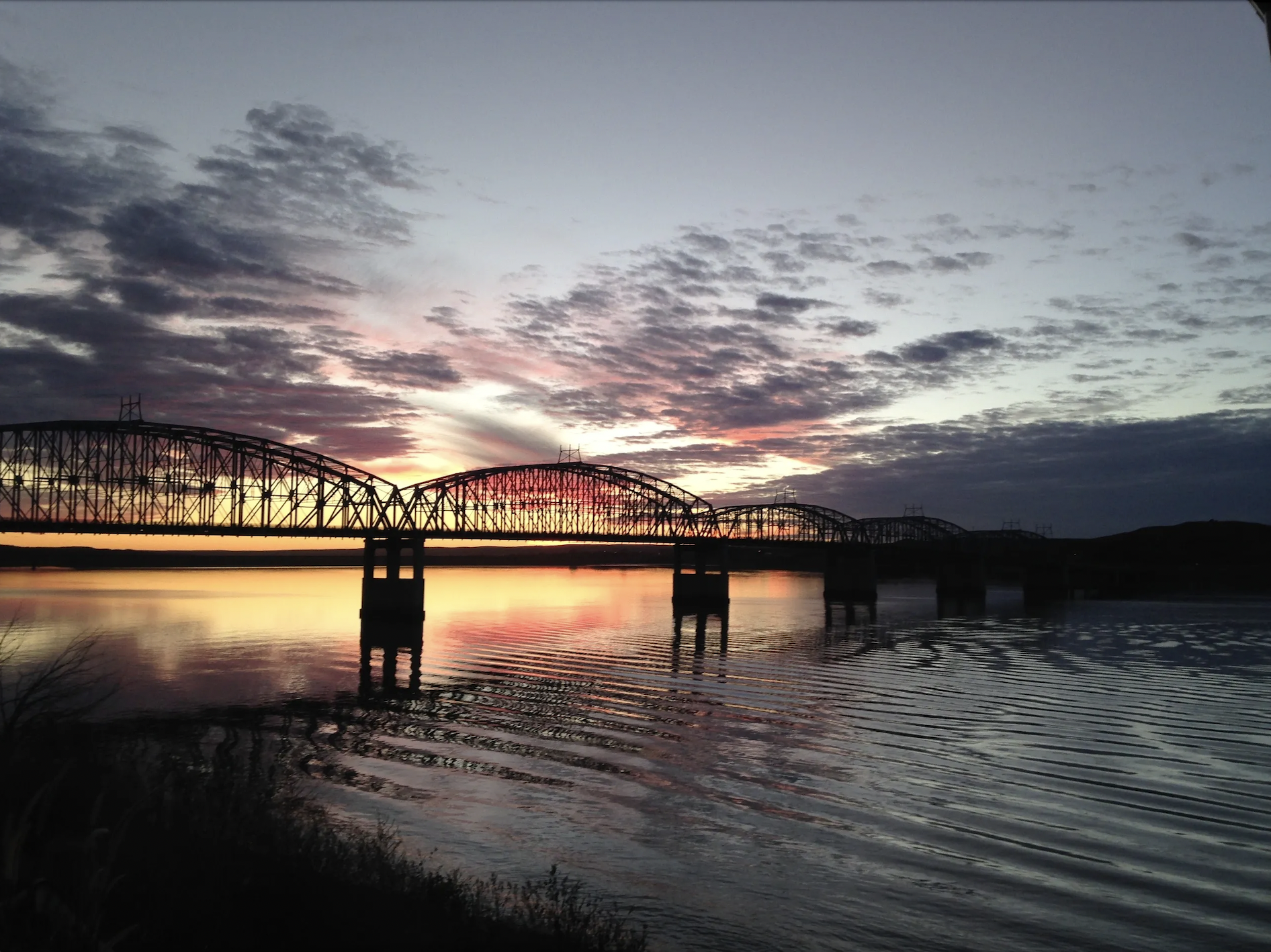
115 North River Street, Chamberlain, SD, USA
Distance: 22.92 mi (straight line)

Upper Crust Pizza & Wings, West King Street, Chamberlain, SD, USA
Distance: 23.04 mi (straight line)
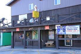
Silver Dollar Bar, North Main Street, Chamberlain, SD, USA
Distance: 23.05 mi (straight line)
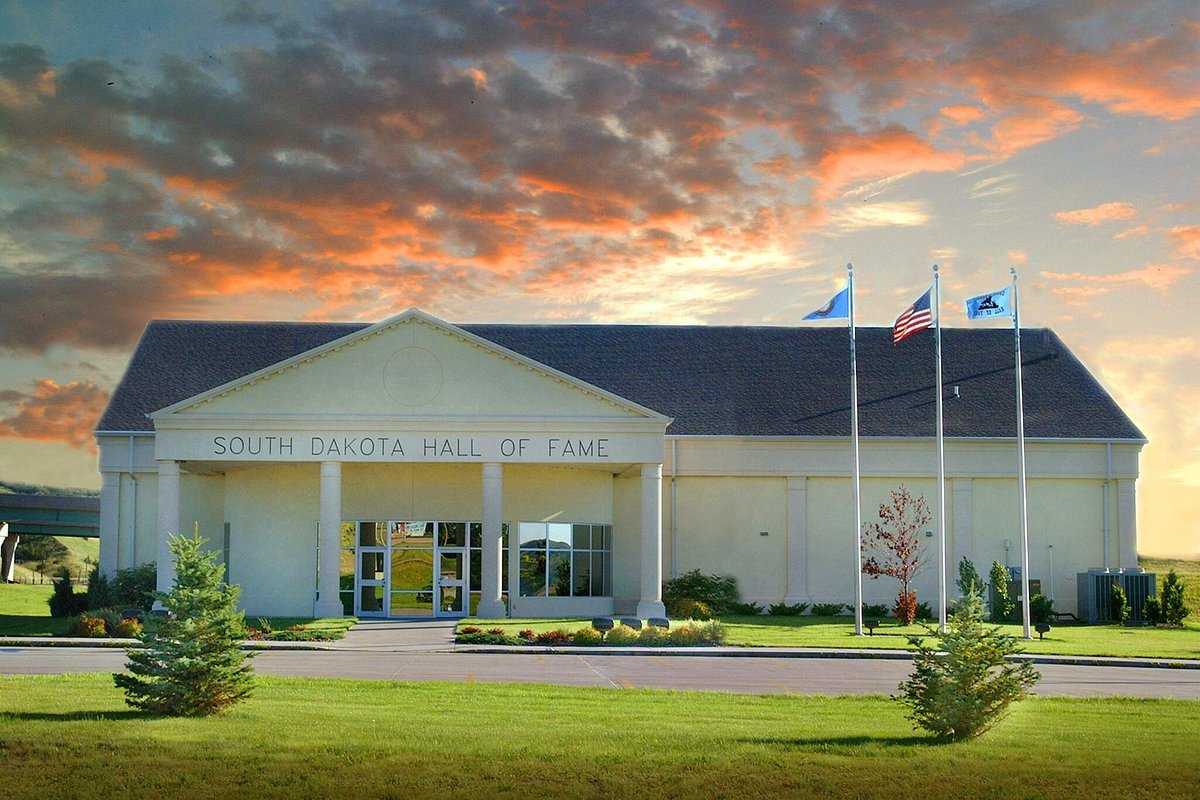
South Dakota Hall of Fame, South Main Street, Chamberlain, SD, USA
Distance: 23.56 mi (straight line)
Museums and Interpretive Centers
View Listing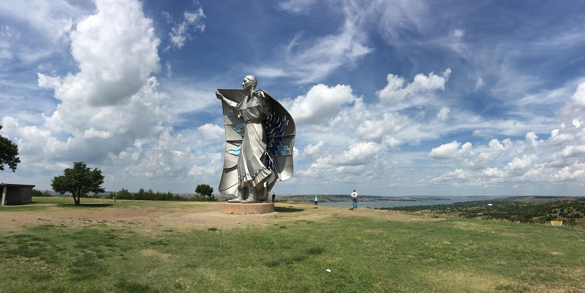
Chamberlain SD Rest Area facility, Interstate 90, Chamberlain, SD, USA
Distance: 24.21 mi (straight line)
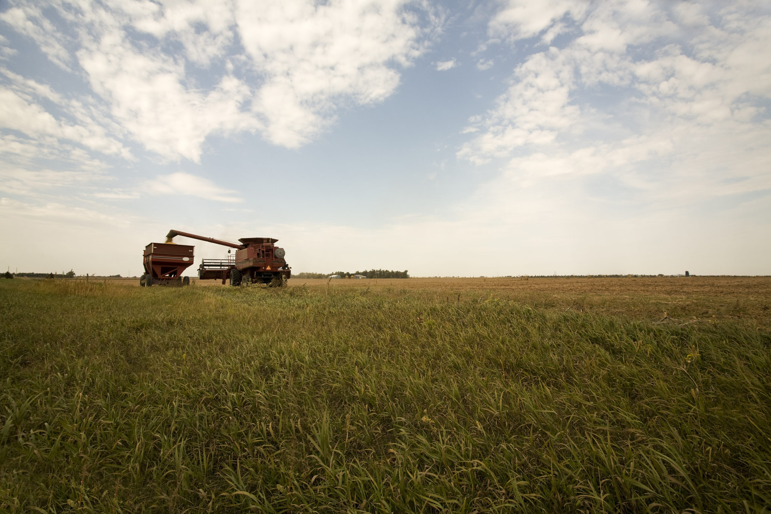
117 Cemetery Rd, Kimball, SD 57355, USA
Distance: 39.99 mi (straight line)
Museums and Interpretive Centers
View Listing
South Dakota State Historical Society, Governors Drive, Pierre, SD, USA
Distance: 41.50 mi (straight line)
Museums and Interpretive Centers Tribal Experiences
View Listing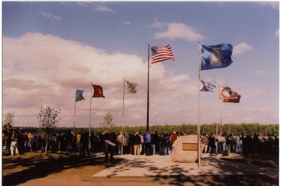
Fischers Lilly Park, Ash Avenue, Fort Pierre, SD, USA
Distance: 42.18 mi (straight line)
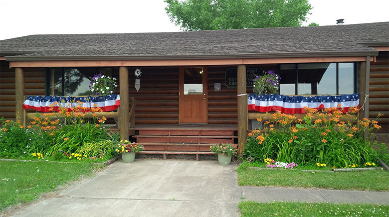
4 East Main Avenue, Fort Pierre, SD, USA
Distance: 42.26 mi (straight line)
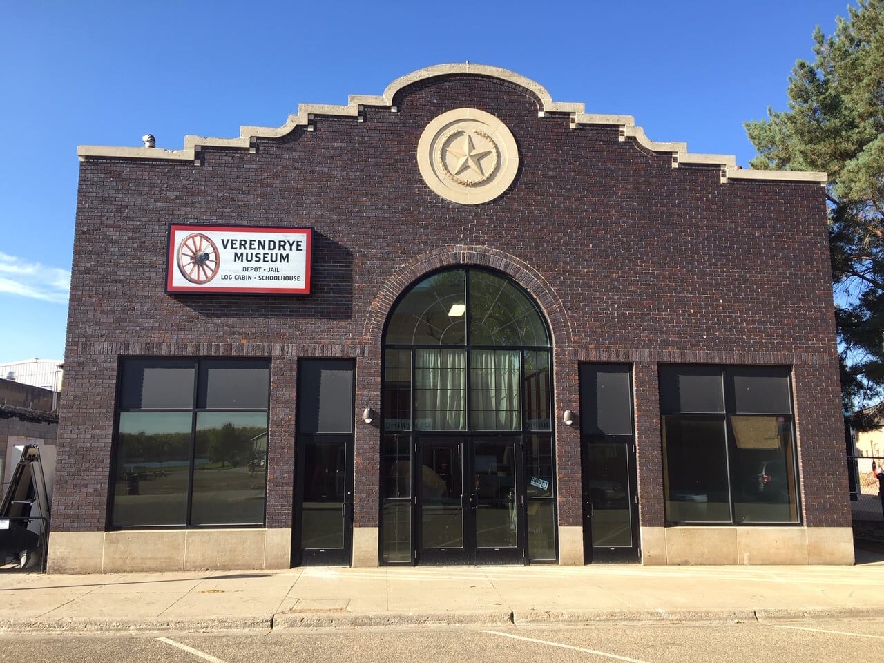
Verendrye Museum, Deadwood Street, Fort Pierre, SD, USA
Distance: 42.39 mi (straight line)
Museums and Interpretive Centers
View Listing
Fort Pierre, SD, USA
Distance: 42.45 mi (straight line)
Festivals and Events Food and Drinks
View Listing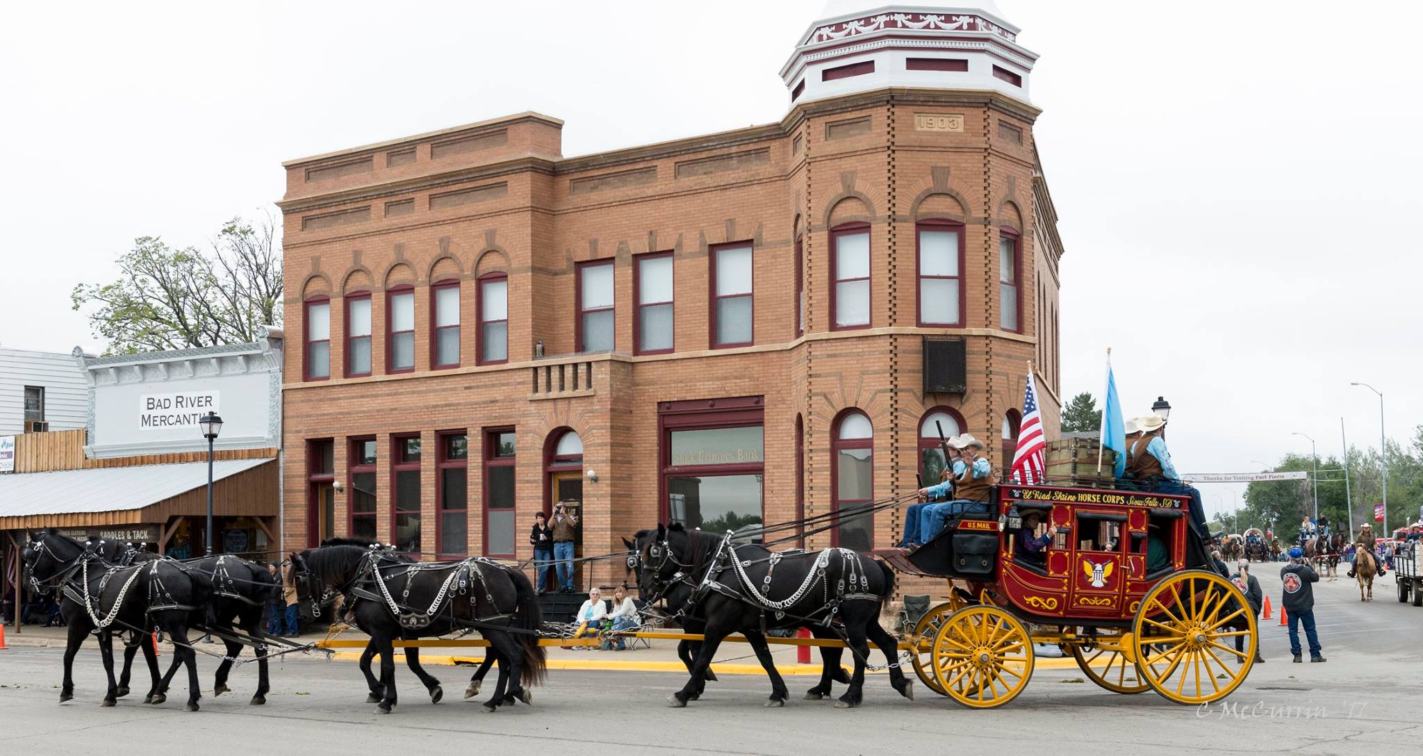
Our bi-weekly newsletter provides news, history, and information for those interested in traveling along along the Lewis & Clark Trail.