Lewis and Clark Trail State Park (Washington)
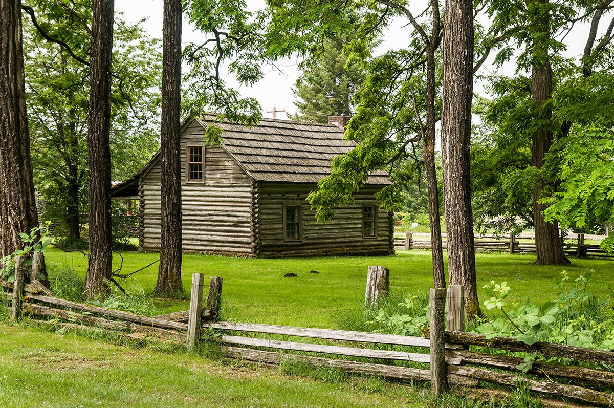

In the evening of May 1, 1806, the Lewis and Clark Expedition encamped at the site of present Lewis & Clark Trail State Park. There, Lewis was amazed when three young Walla Walla men arrived:
“some time after we had encamped three young men arrived from the Wallahwollah village bringing with them a steel trap belonging to one of our party which had been neglegently left behind; this is an act of integrity rarely witnessed among Indians.”
—Meriwether Lewis, May 1, 1806
Lewis & Clark Trail State Park is a 36-acre camping park with 1,333 feet of freshwater shoreline on the Touchet River. Located along Highway 12, amid the rolling fields of southeastern Washington, it feels like a lush oasis in an otherwise dry landscape. Shaded trails through pondersa pine, alder, maple and cottonwood trees offer river access for tubing and wading. Birdwatchers may see common mergansers, red-tailed hawks and orange-crowned warblers, among others.
A reservable kitchen shelter with electricity is available. To reserve, call the park office at (509) 337-6457. Standard, non-hookup campsites can accommodate tents or motorhomes. Teepees and group camps are also available.
https://parks.wa.gov/find-parks/state-parks/lewis-clark-trail-state-park
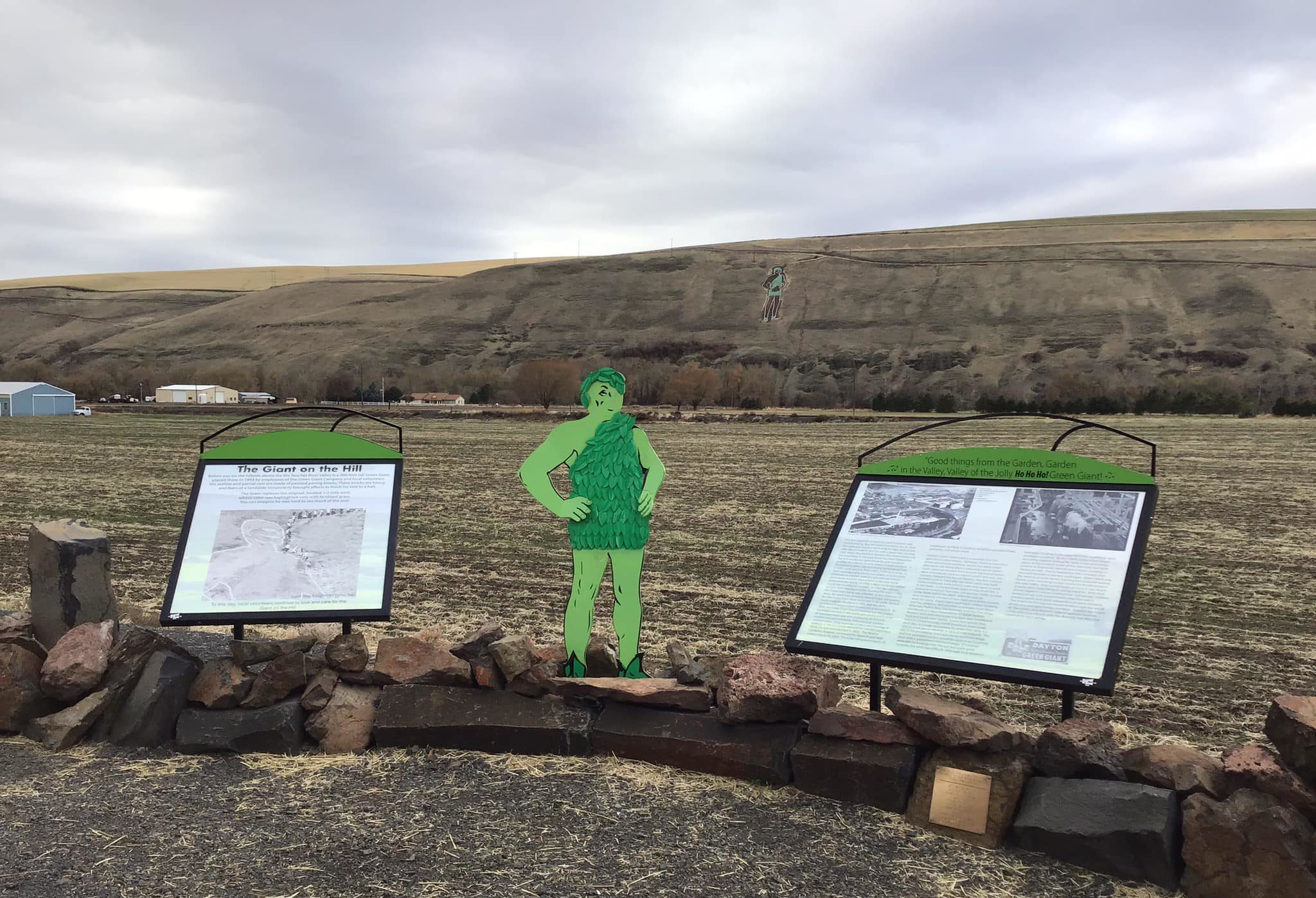
36548 U.S. 12, Dayton, WA 99328, USA
Distance: 3.73 mi (straight line)
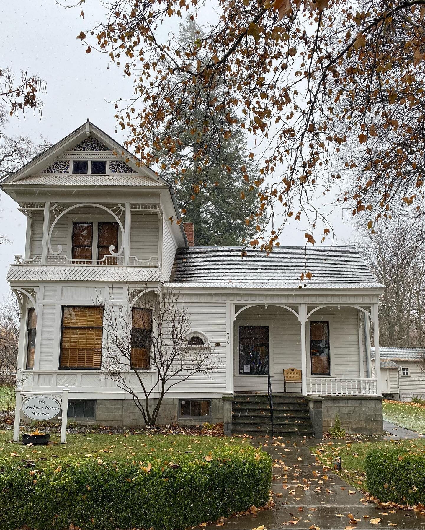
The Boldman House Museum, N 1st St, Dayton, WA, USA
Distance: 4.88 mi (straight line)
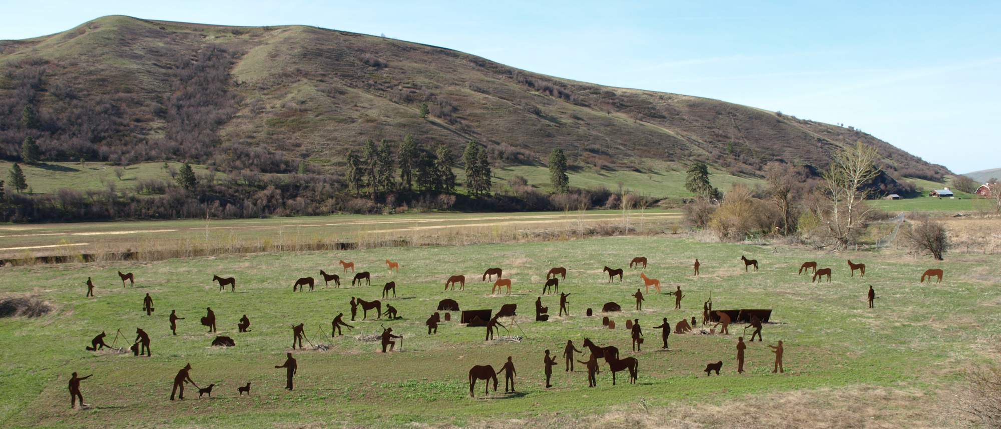
238 Ronan Hill Rd, Dayton, WA 99328, USA
Distance: 7.62 mi (straight line)
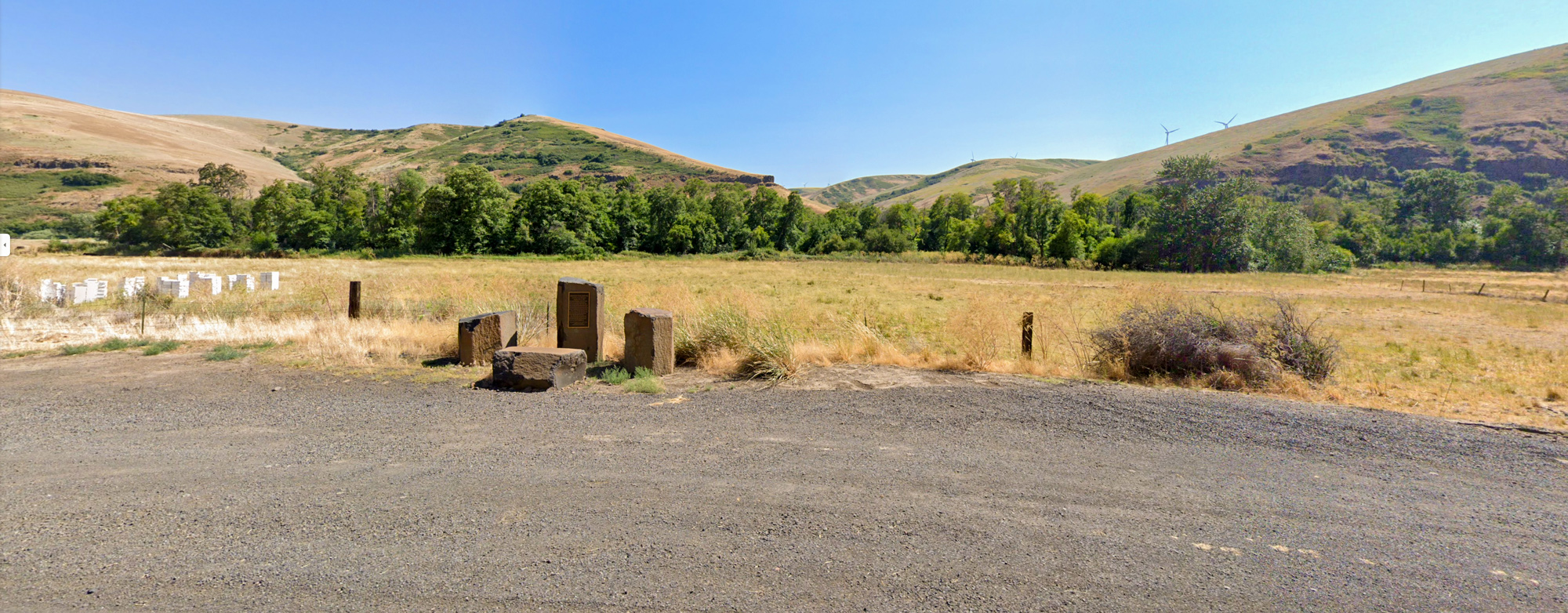
Kimooenim Creek Lunch Site, Washington, USA
Distance: 17.94 mi (straight line)
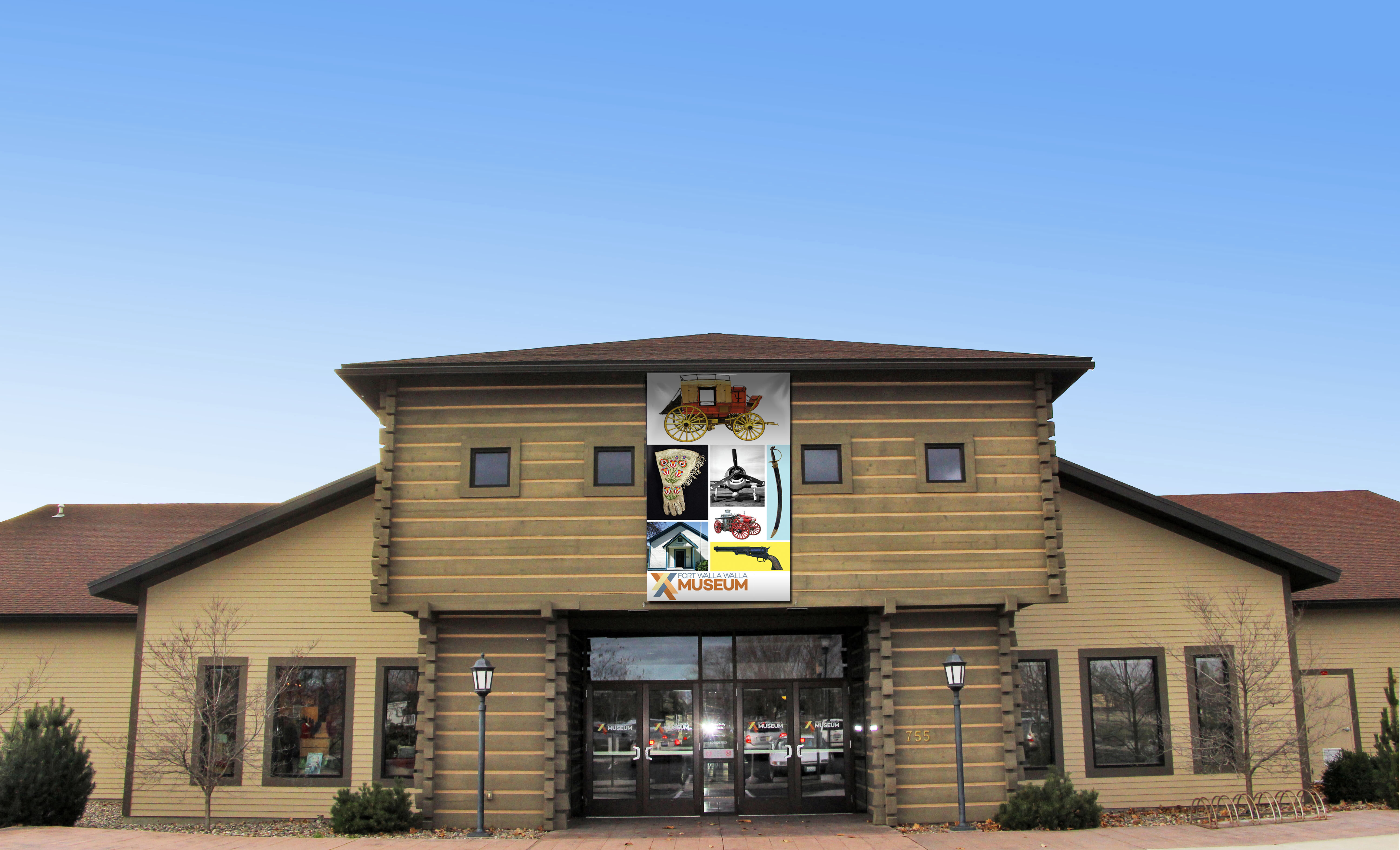
Fort Walla Walla Museum, Northeast Myra Road, Walla Walla, WA, USA
Distance: 21.70 mi (straight line)
Museums and Interpretive Centers Guided Tours Forts LC Features
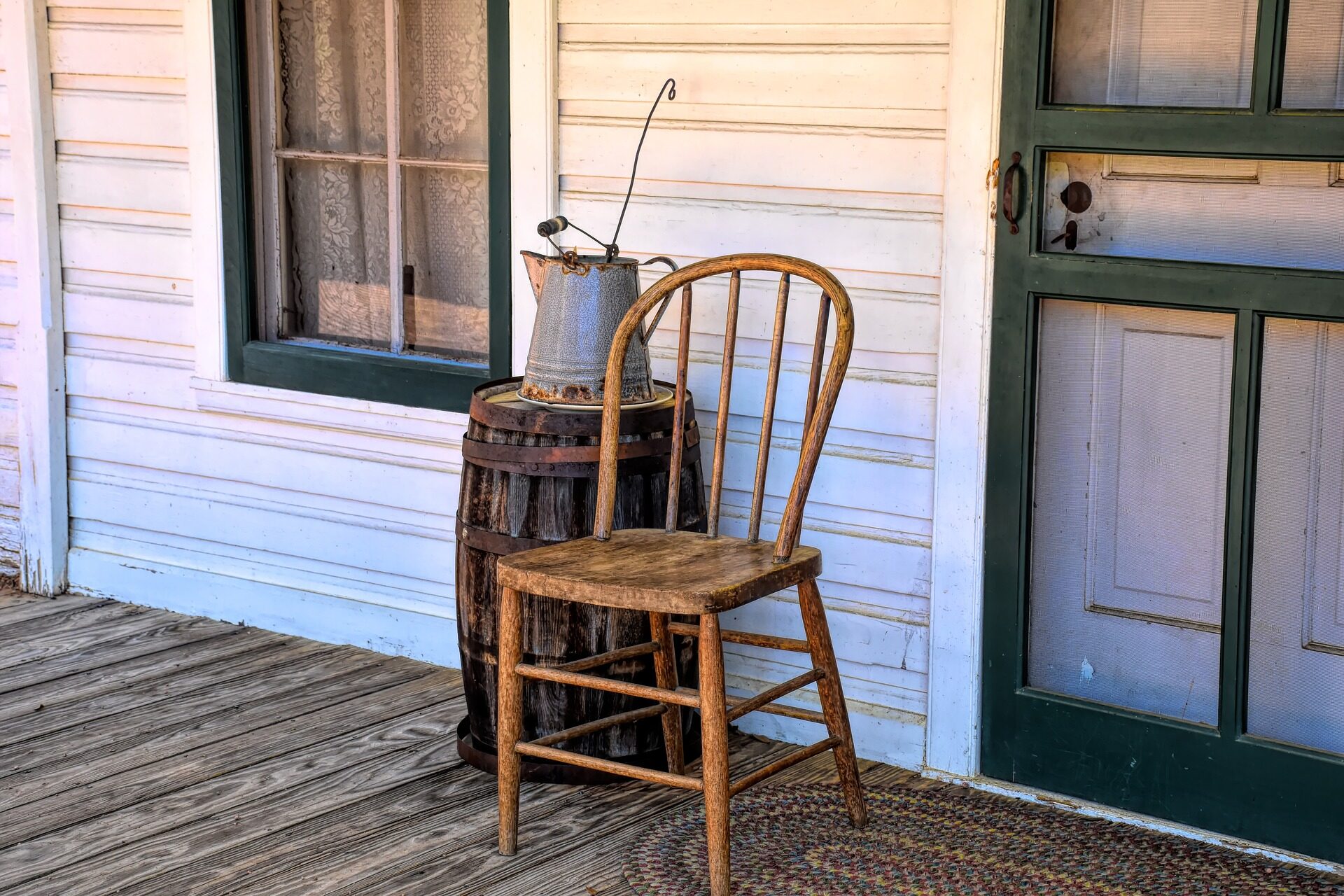
Garfield County Museum, Columbia Street, Pomeroy, WA, USA
Distance: 25.84 mi (straight line)
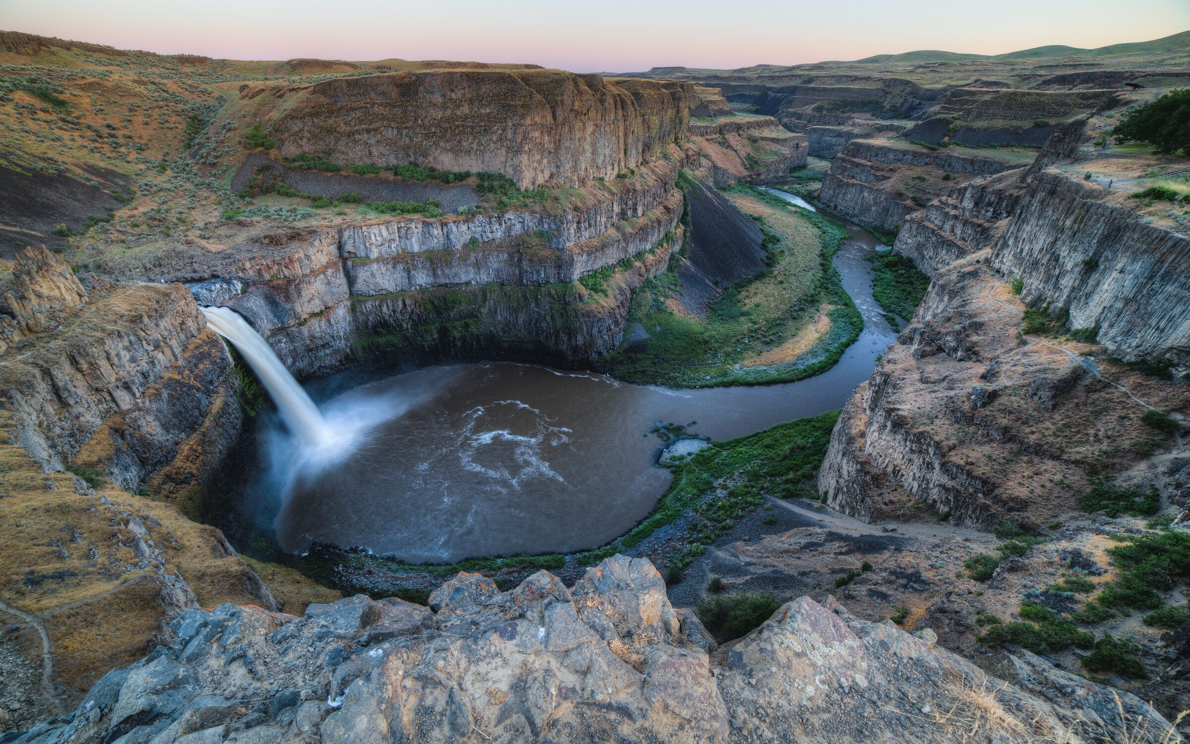
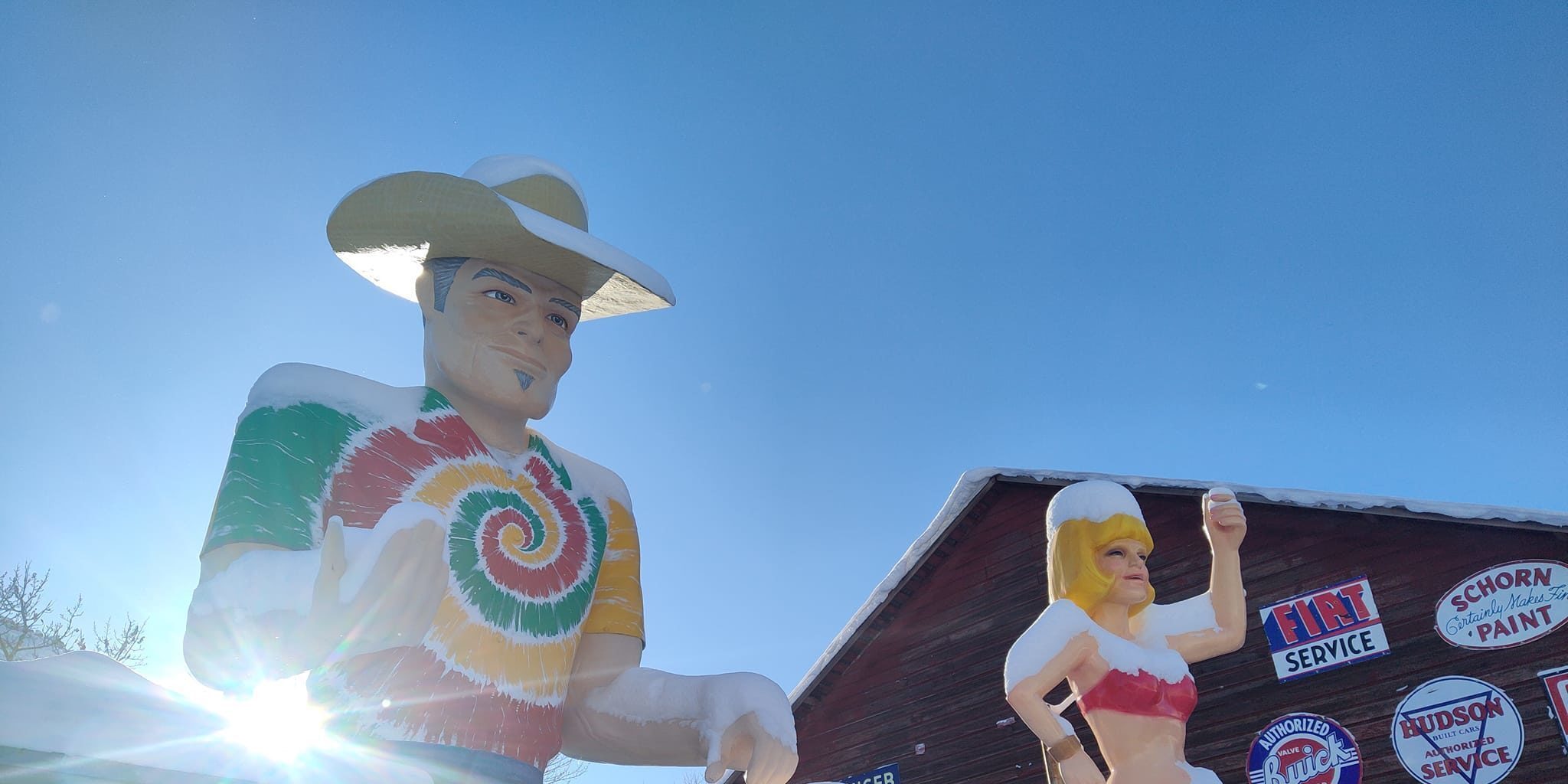
2425 Villard, Pomeroy, WA 99347, USA
Distance: 26.93 mi (straight line)
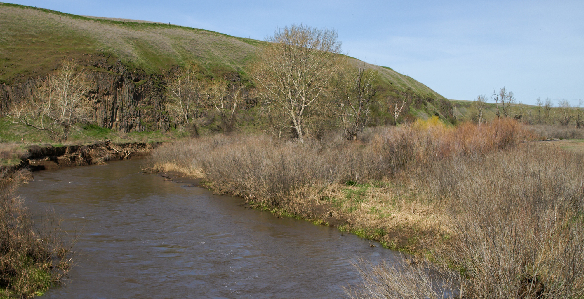
Lewis & Clark Campsite, Touchet River, Touchet North Road, Touchet, WA, USA
Distance: 27.95 mi (straight line)
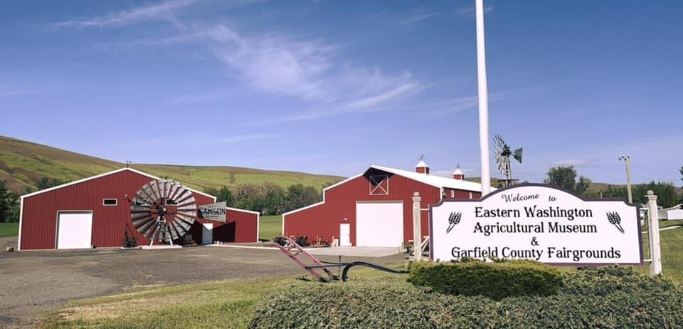
99 Fairgrounds Rd, Pomeroy, WA 99347, USA
Distance: 27.95 mi (straight line)
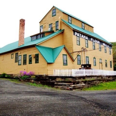
Pataha Flour Mills, Hutchens Hill Road, Pomeroy, WA, USA
Distance: 28.15 mi (straight line)
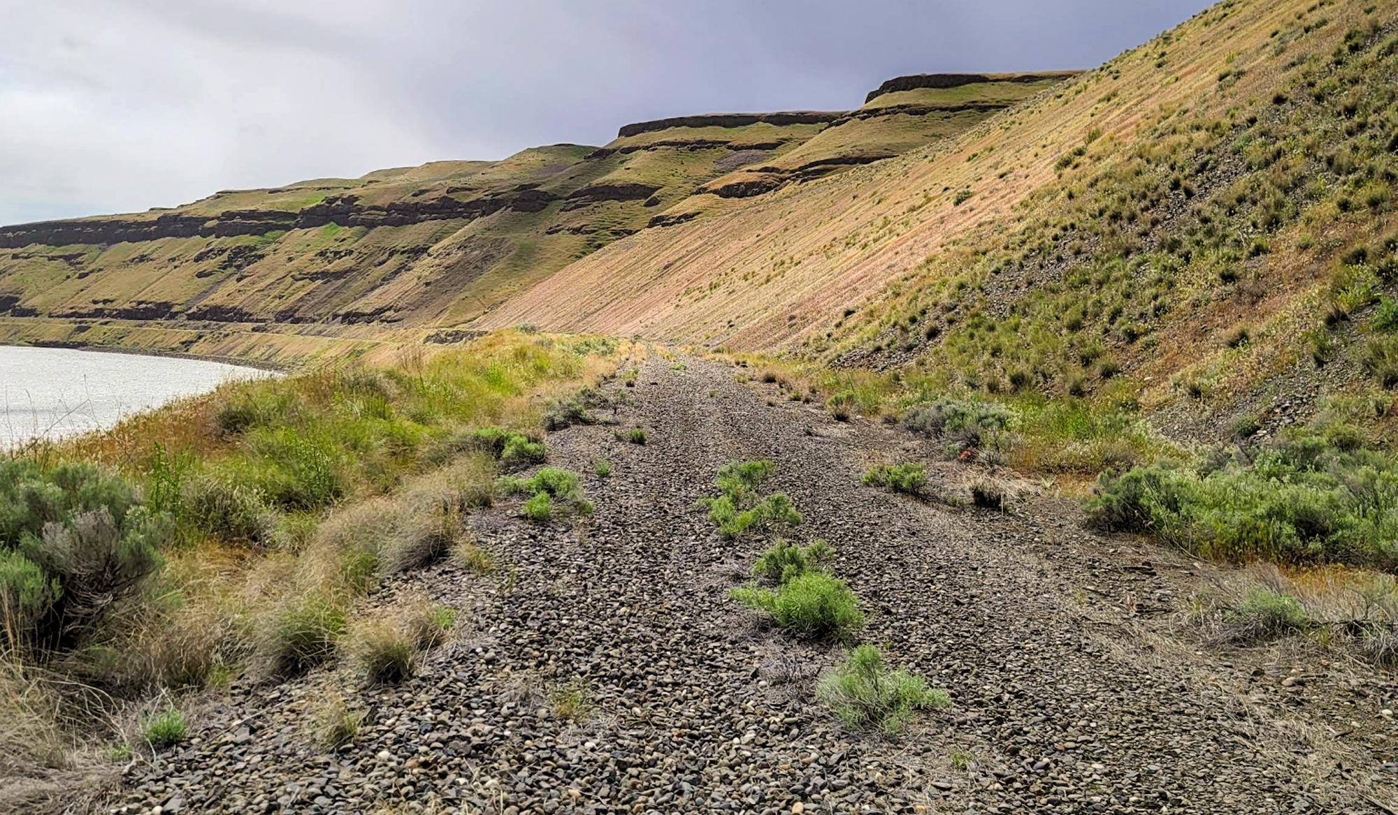
Columbia Plateau Trail, Pasco, WA 99301, USA
Distance: 29.85 mi (straight line)
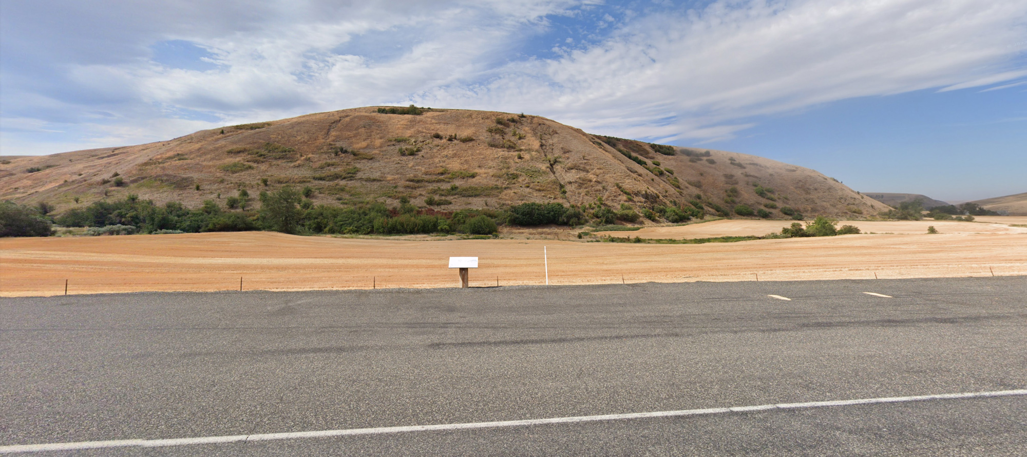
Ancient crossroads, Washington, USA
Distance: 30.88 mi (straight line)
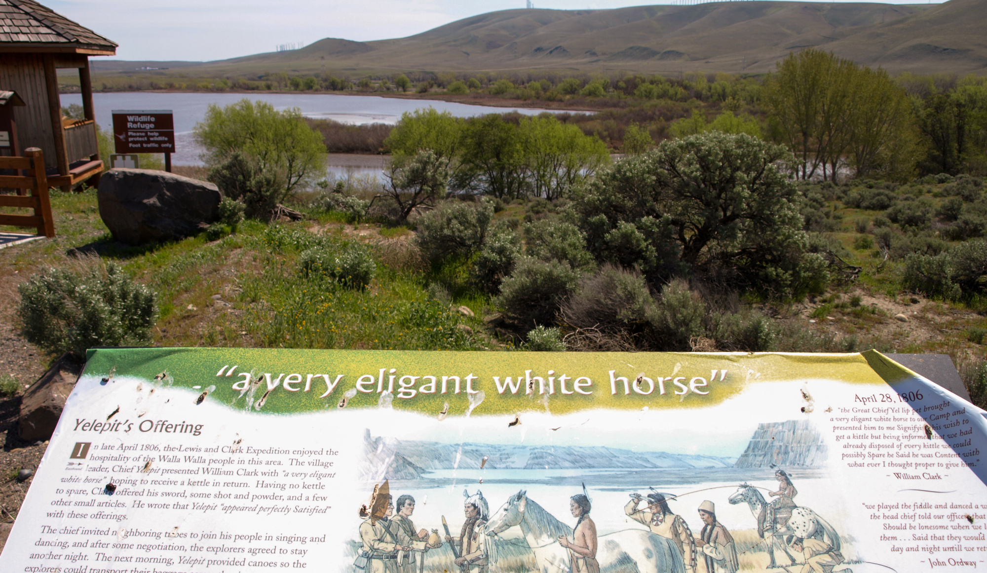
336V+VP Wallula Junction, WA, USA
Distance: 42.82 mi (straight line)

Chief Timothy Park, U.S. 12, Clarkston, WA, USA
Distance: 43.01 mi (straight line)
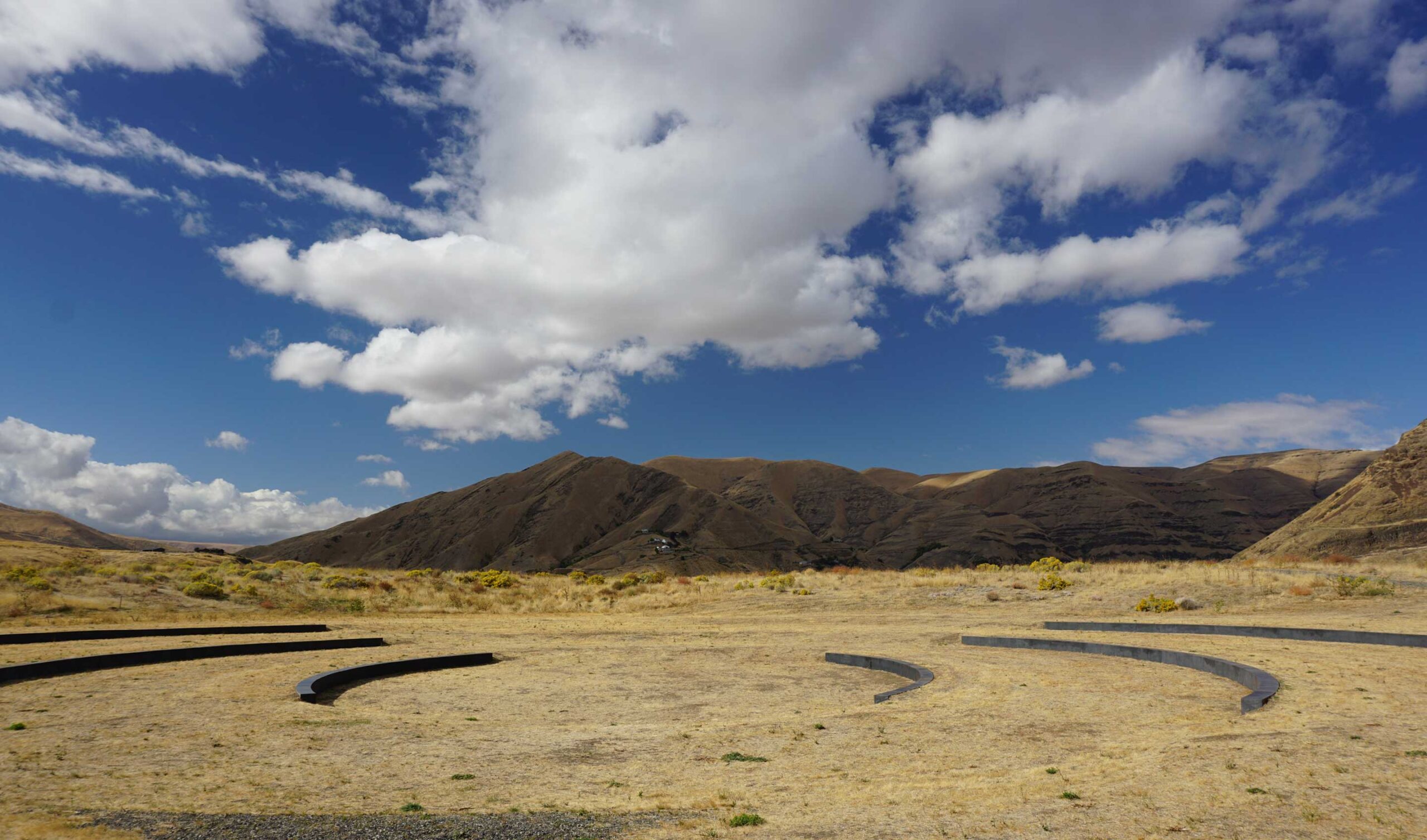
Chief Timothy Park, U.S. 12, Clarkston, WA, USA
Distance: 43.01 mi (straight line)
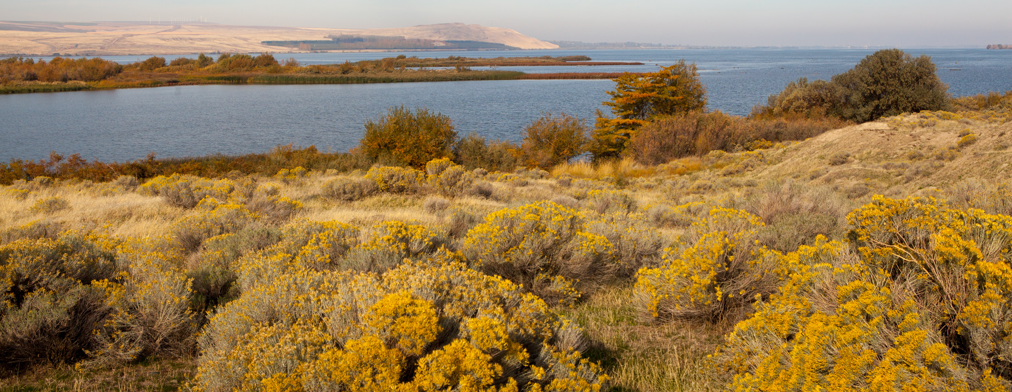
337P+F9 Wallula Junction, WA, USA
Distance: 43.15 mi (straight line)
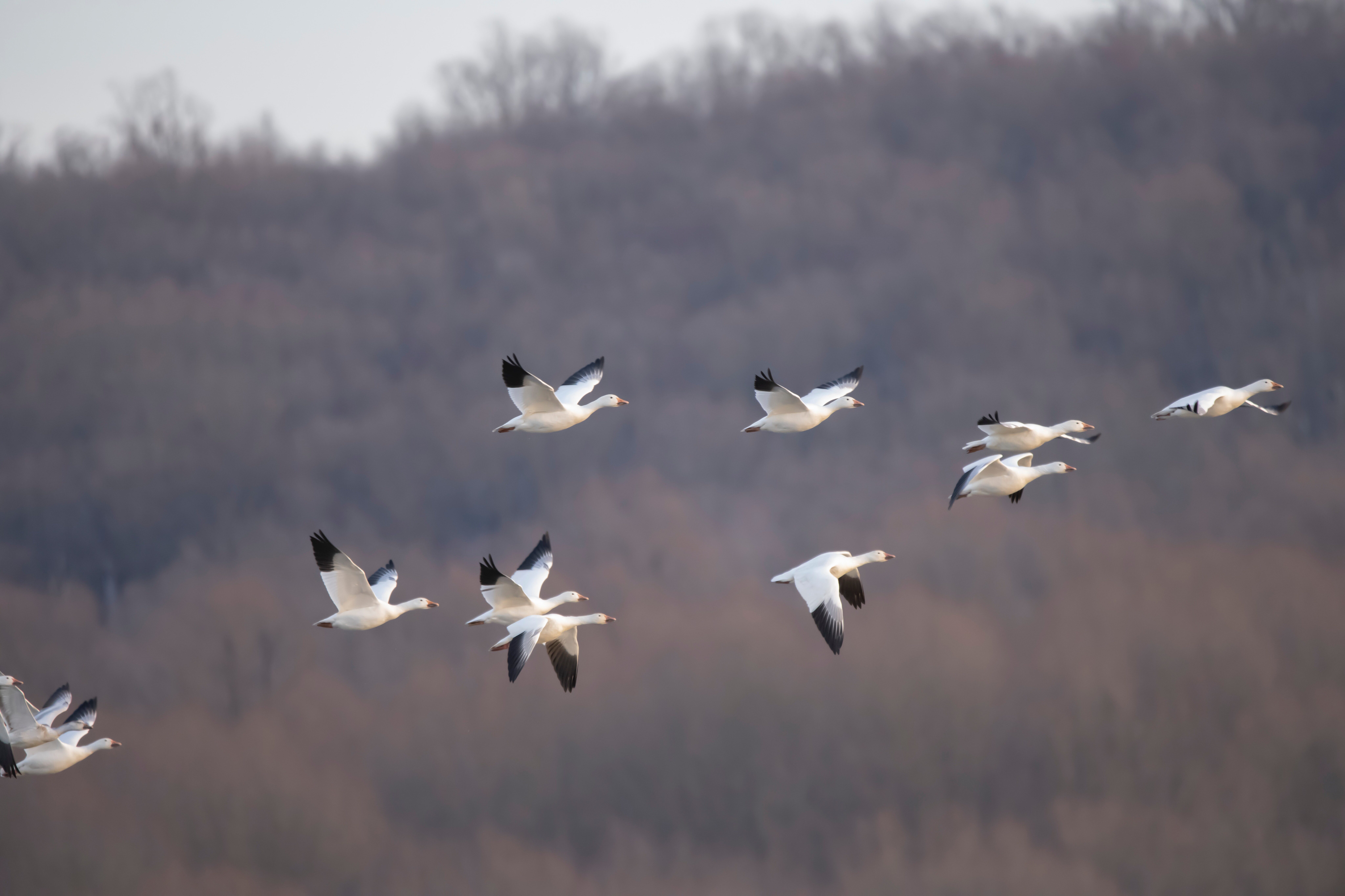
McNary National Wildlife Refuge, Maple Street, Burbank, WA, USA
Distance: 44.41 mi (straight line)
Our bi-weekly newsletter provides news, history, and information for those interested in traveling along along the Lewis & Clark Trail.