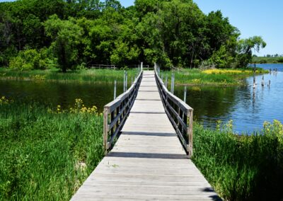
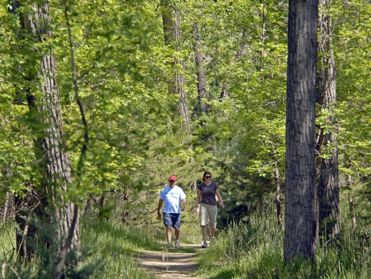
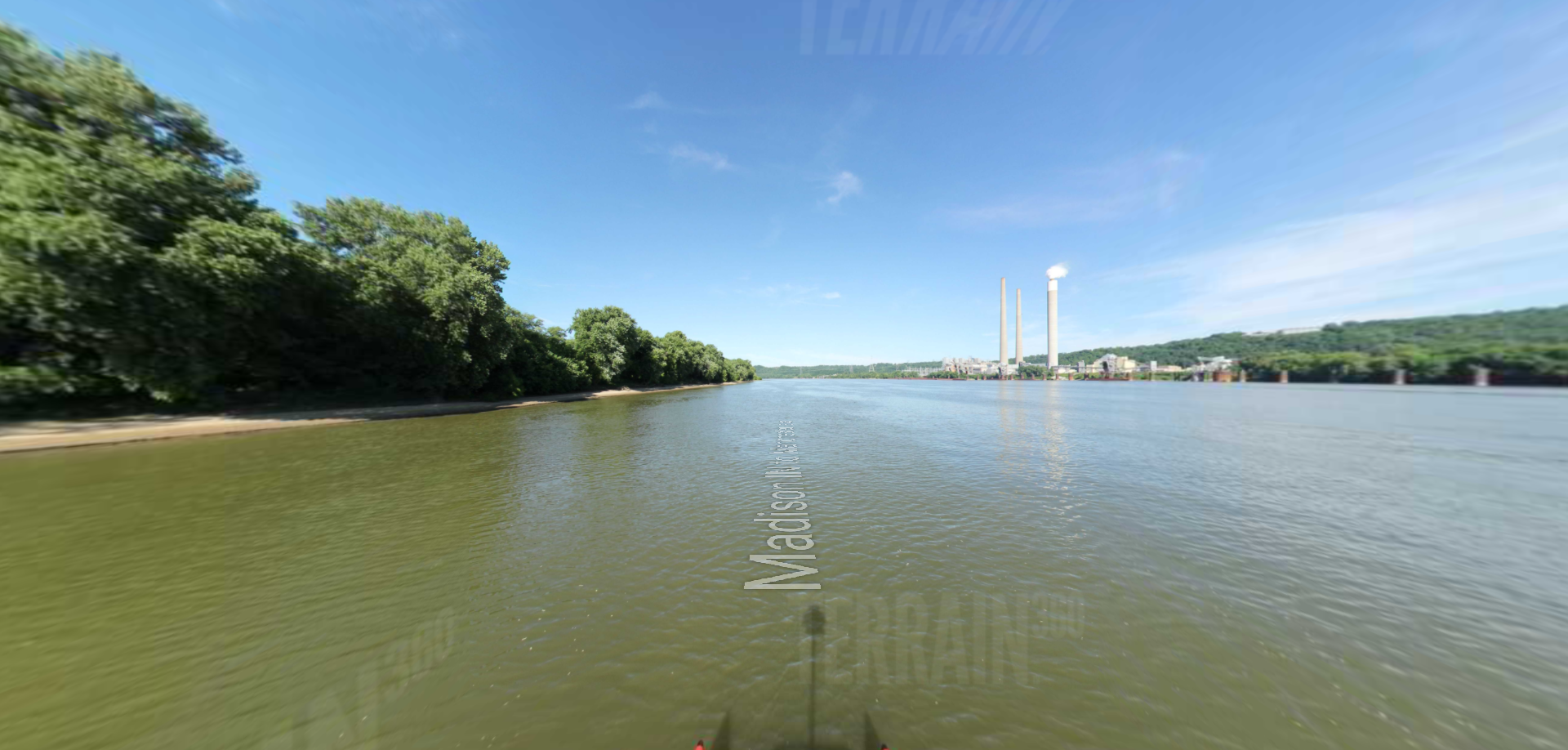
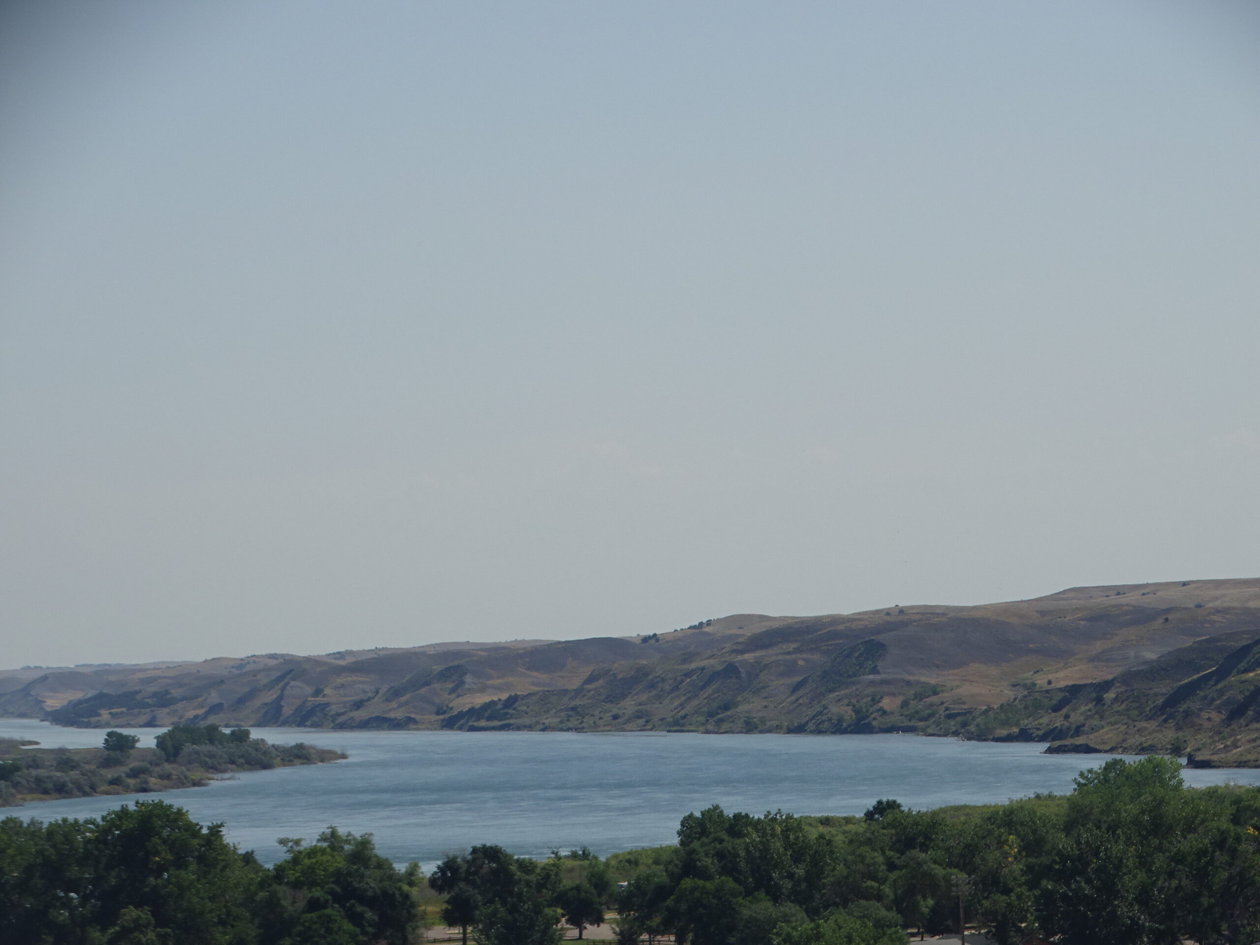
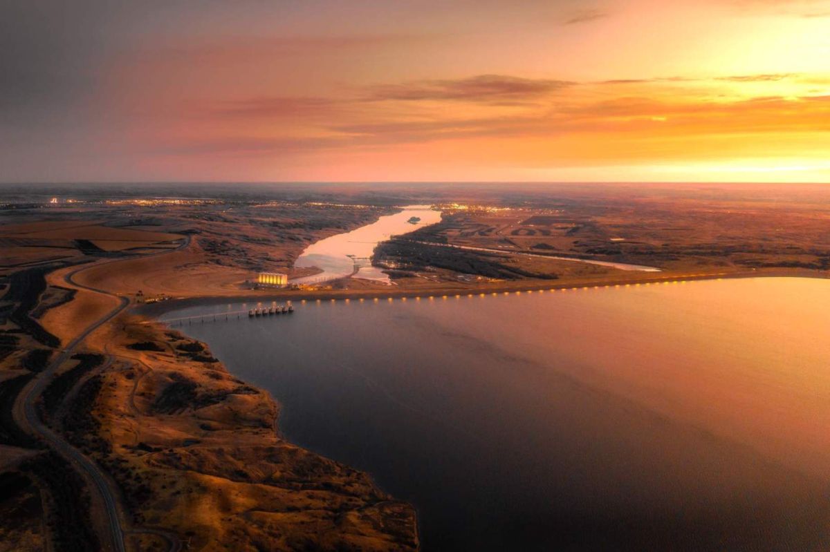
LaFramboise Island Nature Area is a unique area along the Missouri River. The island is covered in trees and meadows, which are home to a variety of wildlife and bird species.
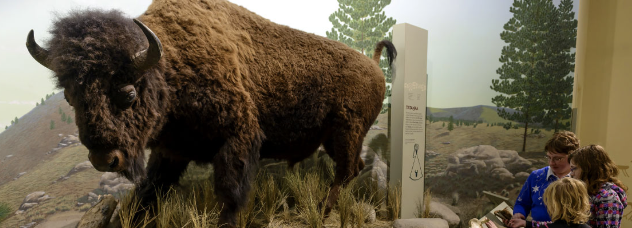
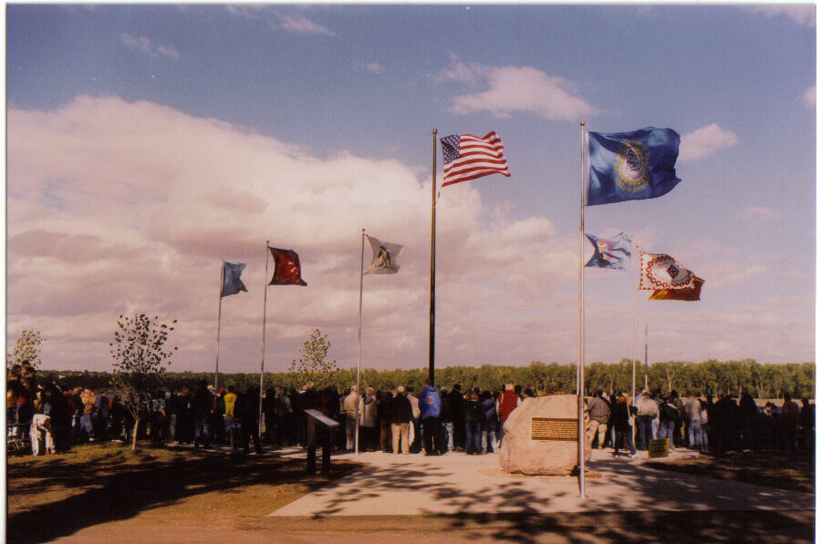
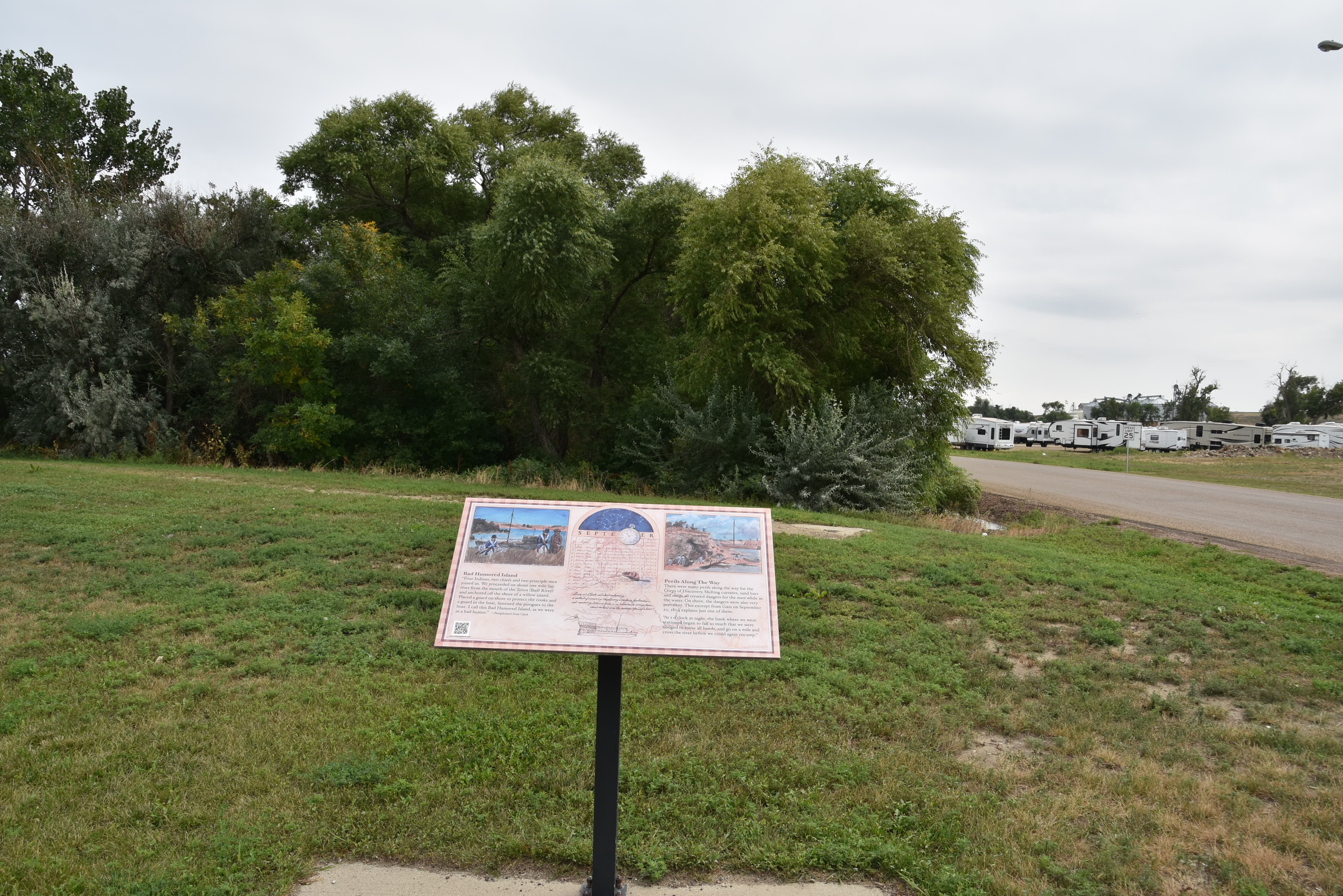
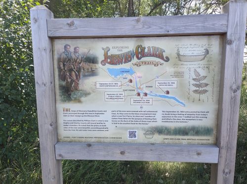
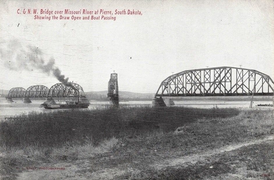
The island was recorded in the Lewis and Clark journals when they passed through the area in 1804. They saw many elk and buffalo on the island and called it “Good Humored Island” in reflection of their good spirits that day. In contrast, further up the river the next day they had a tense encounter with the Teton Sioux. The group’s campsite location that night was fittingly referred to as “Bad Humored Island,” which is no longer there today. The island’s current name is attributed to Joseph LaFramboise. He built Fort LaFramboise at the mouth of the Bad River (west of the island). In later years, parts of the island were farmed.
As upstream dams changed the water flow in the Missouri River in the mid-1960s, the tree habitat on this sand bar island has changed to include species such as cedar, ash and Russian olive. Native cottonwood trees are also part of the island landscape, and once flourished due to the once natural flooding of the river.
Fischers Lilly Park, Ash Avenue, Fort Pierre, SD, USA
Distance: 0.83 mi (straight line)
4 East Main Avenue, Fort Pierre, SD, USA
Distance: 0.84 mi (straight line)
102 4th Ave, Fort Pierre, SD 57532, USA
Distance: 0.96 mi (straight line)
Verendrye Museum, Deadwood Street, Fort Pierre, SD, USA
Distance: 0.96 mi (straight line)
Museums and Interpretive Centers
View Listing
520 W Missouri Ave, Pierre, SD 57501, USA
Distance: 1.05 mi (straight line)
Fort Pierre, SD, USA
Distance: 1.07 mi (straight line)
Festivals and Events Food and Drinks
View Listing
Fort Pierre Depot Museum, Fort Pierre, SD, USA
Distance: 1.15 mi (straight line)
Museums and Interpretive Centers
View Listing
Casey Tibbs Rodeo Center Museum, Verendrye Drive, Fort Pierre, SD, USA
Distance: 1.21 mi (straight line)
Museums and Interpretive Centers
View Listing
South Dakota Discovery Center, West Sioux Avenue, Pierre, SD, USA
Distance: 1.30 mi (straight line)
Museums and Interpretive Centers
View Listing
Verendrye Monument, Verendrye Drive, Fort Pierre, SD, USA
Distance: 1.32 mi (straight line)
Missouri River Bridge, South Dakota 34, Fort Pierre, SD, USA
Distance: 1.41 mi (straight line)
South Dakota State Historical Society, Governors Drive, Pierre, SD, USA
Distance: 1.42 mi (straight line)
Museums and Interpretive Centers Tribal Experiences
View Listing
321 Hustan Ave, Fort Pierre, SD 57532, USA
Distance: 1.45 mi (straight line)
Fort Pierre Chouteau, Fort Chouteau Road, Fort Pierre, SD, USA
Distance: 3.05 mi (straight line)
CJG4+XC Pierre, SD, USA
Distance: 5.42 mi (straight line)
Outdoor Experiences LC Features Tribal Experiences
View Listing
Oahe Downstream Recreation Area, Marina Loop, Fort Pierre, SD, USA
Distance: 5.88 mi (straight line)
Our bi-weekly newsletter provides news, history, and information for those interested in traveling along along the Lewis & Clark Trail.