X
Plan Your Visit x

Kulmer Beach Reserve

Kulmer Beach Reserve
17200 Kulmer Beach Road
West Point Kentucky 40177

Information

502-368-5404
lat: 38.0097106 long: -85.9323321
This one-mile of shoreline, located in the southwest corner of Jefferson County, snakes along the Ohio River and converges at the mouth of Salt River. This area was historically significant as an entrance to the in-lands of Kentucky via the Salt River by both Native Americans and early settlers. Water birds, raptors, eagles, mammals, reptiles, amphibians, and insects live in this diverse ecosystem. An upper trail takes visitors to the confluence of the Ohio River and the Salt River. A pavilion is available for picnics and social gatherings.

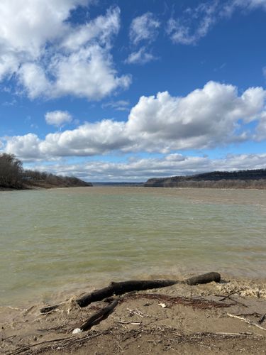
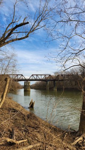
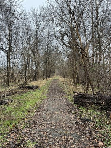
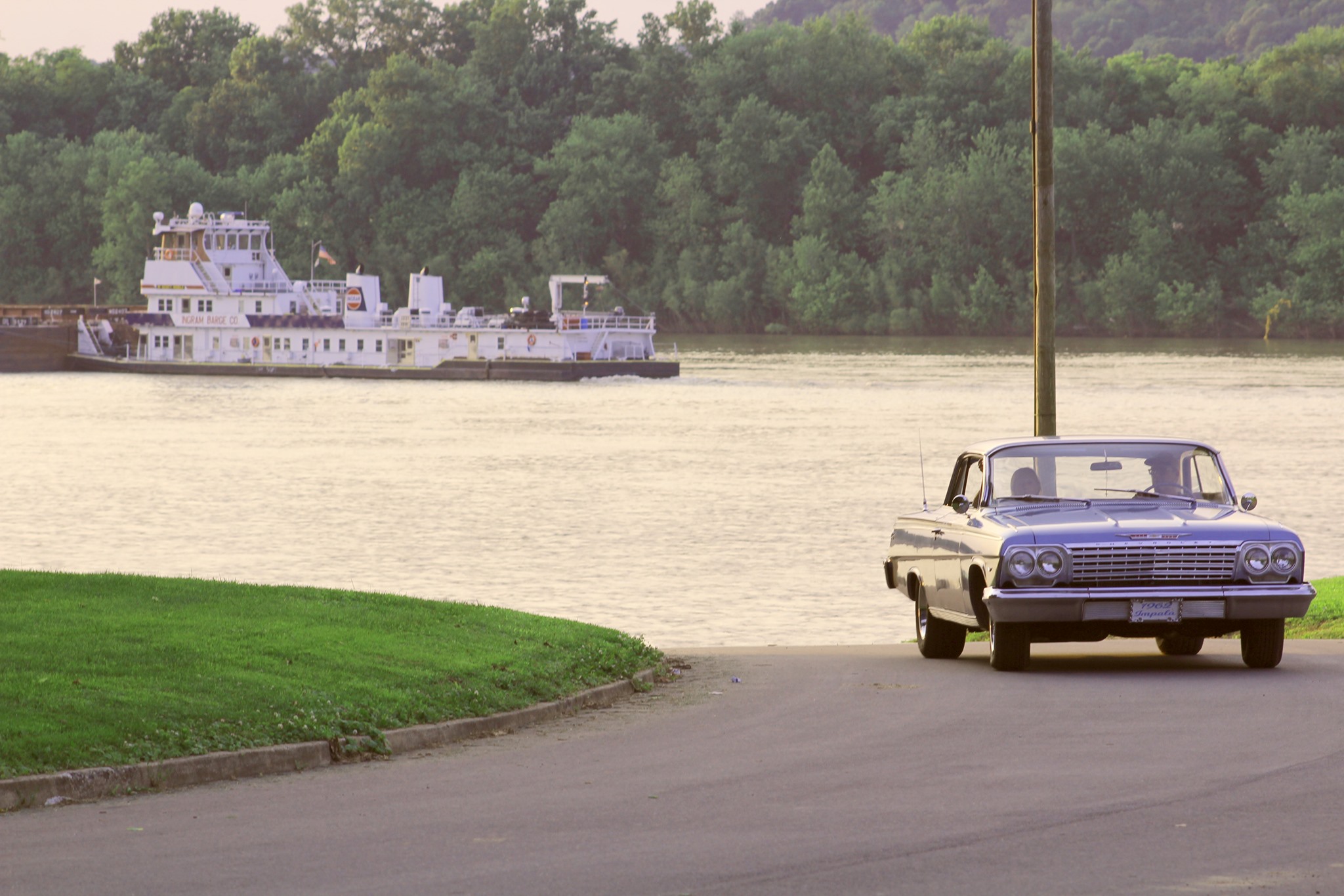
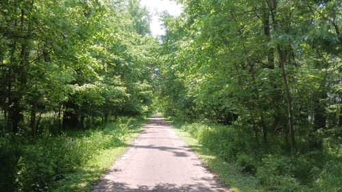
Kulmer Beach Reserve is located at the confluence of the Salt River and the Ohio River, just south of the historic town of West Point, Kentucky—the farthest point southwest that you can travel in Jefferson County. While a bit out of the way, and in need of come infrastructure upgrades, it offers a one-way along the narrow strip between the Paducah Nashville Railroad and the Ohio River. Hikers of this trail are greeted with one of the more spectacular views available in the area. Bring your binoculars and catch a glimpse of bird species making their way along this stretch of the Mississippi Flyway.

Get Directions

Nearby Attractions

Veterans Memorial Park (West Point, Kentucky)

Veterans Memorial Park, Veterans Memorial Park Drive, West Point, Kentucky, USA
Distance: 1.08 mi (straight line)

View Listing

Outdoor Experiences

Civil War U.S. Fort Duffield Park and Historic Site

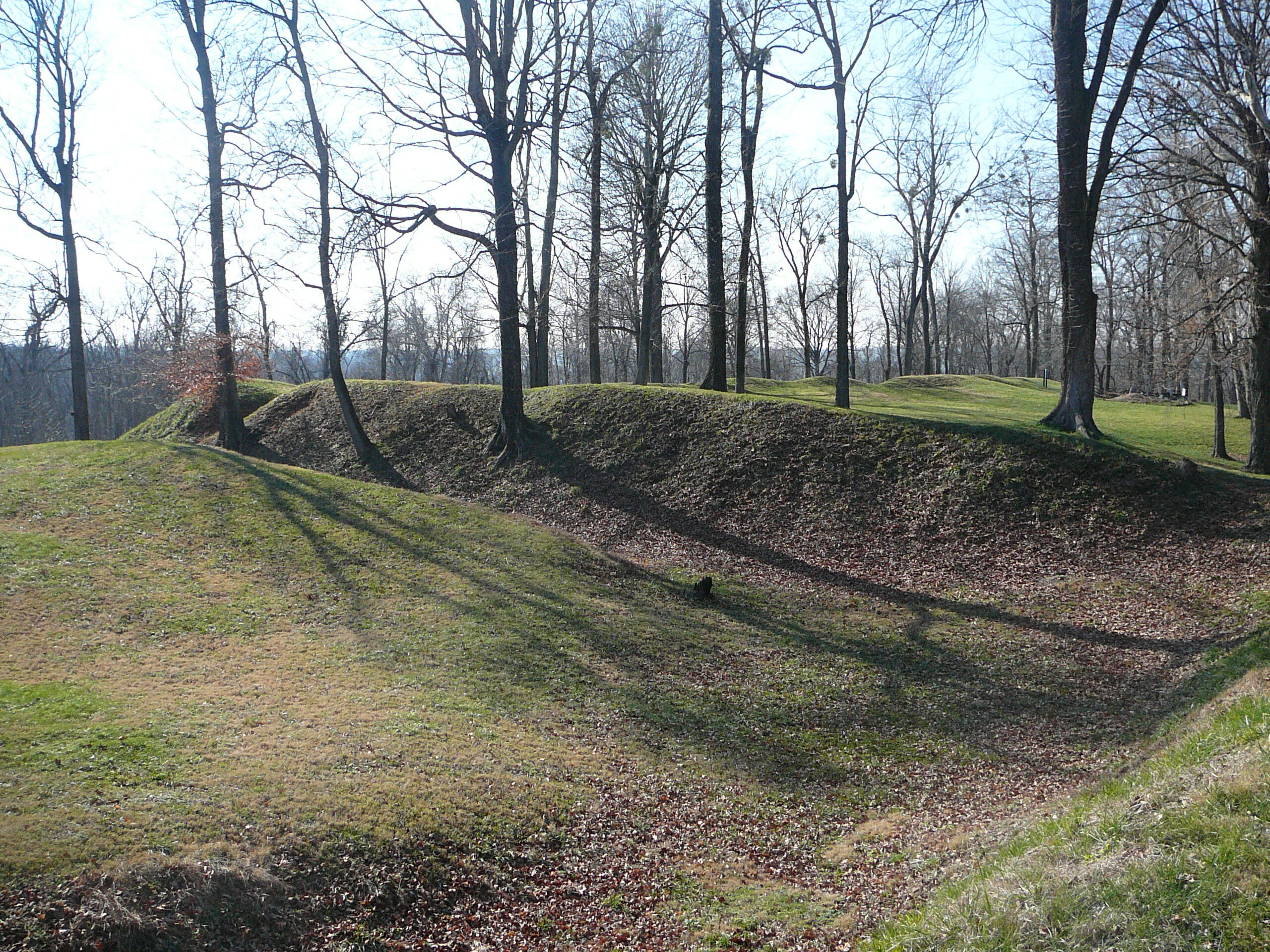
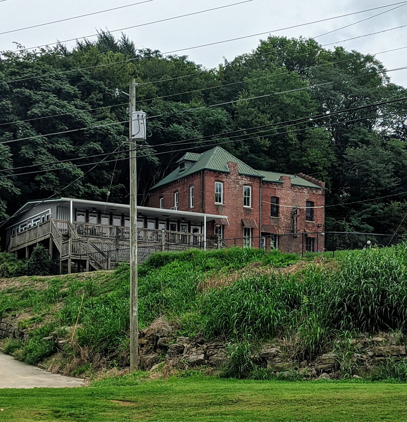
Fort Duffield Park & Historic Site, West Point, KY, U.S.
Distance: 1.28 mi (straight line)

View Listing

Outdoor Experiences Forts

Tioga Falls Hiking Trail

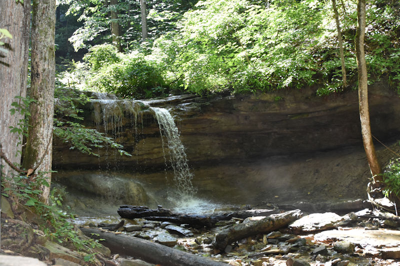
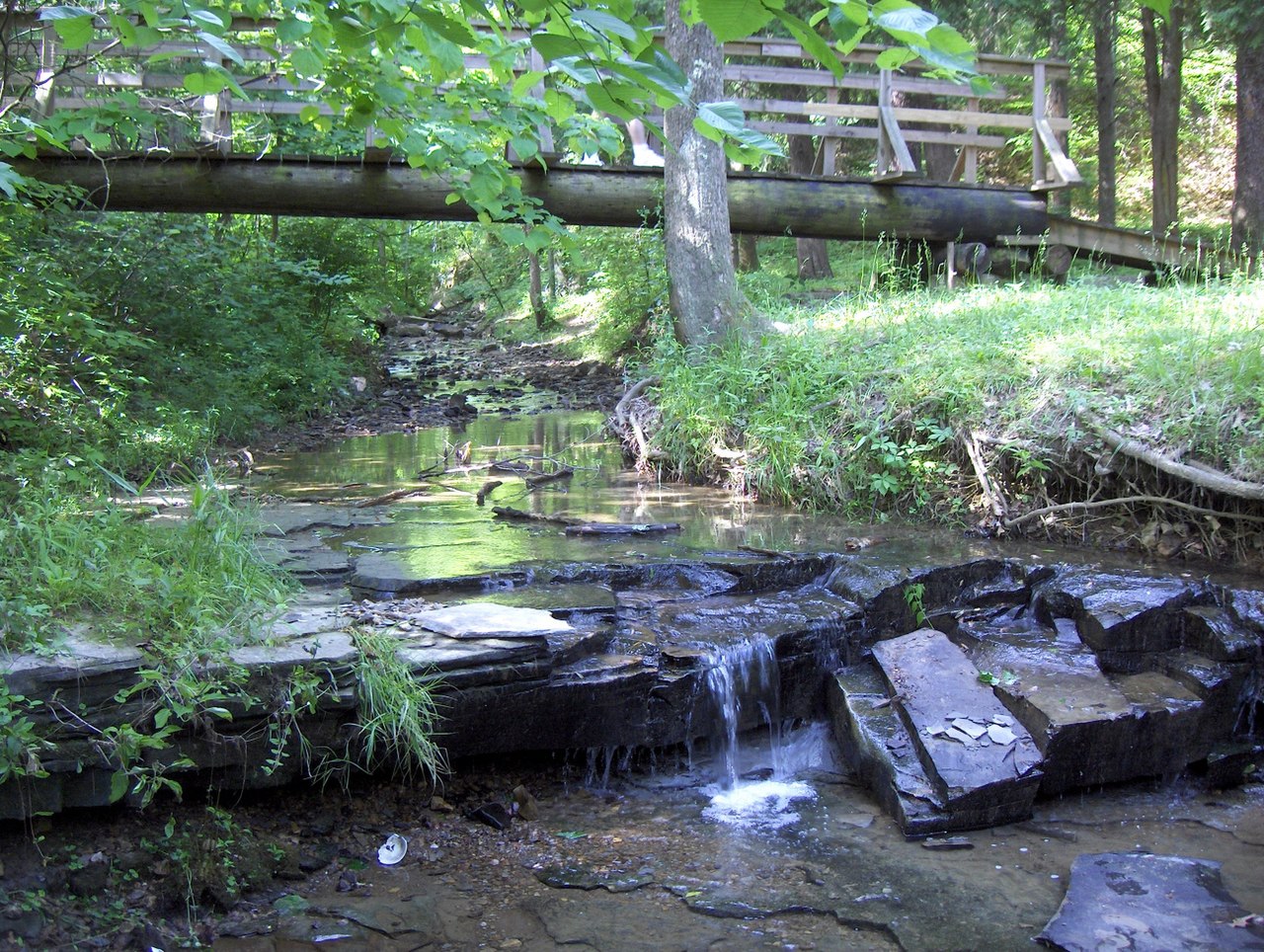
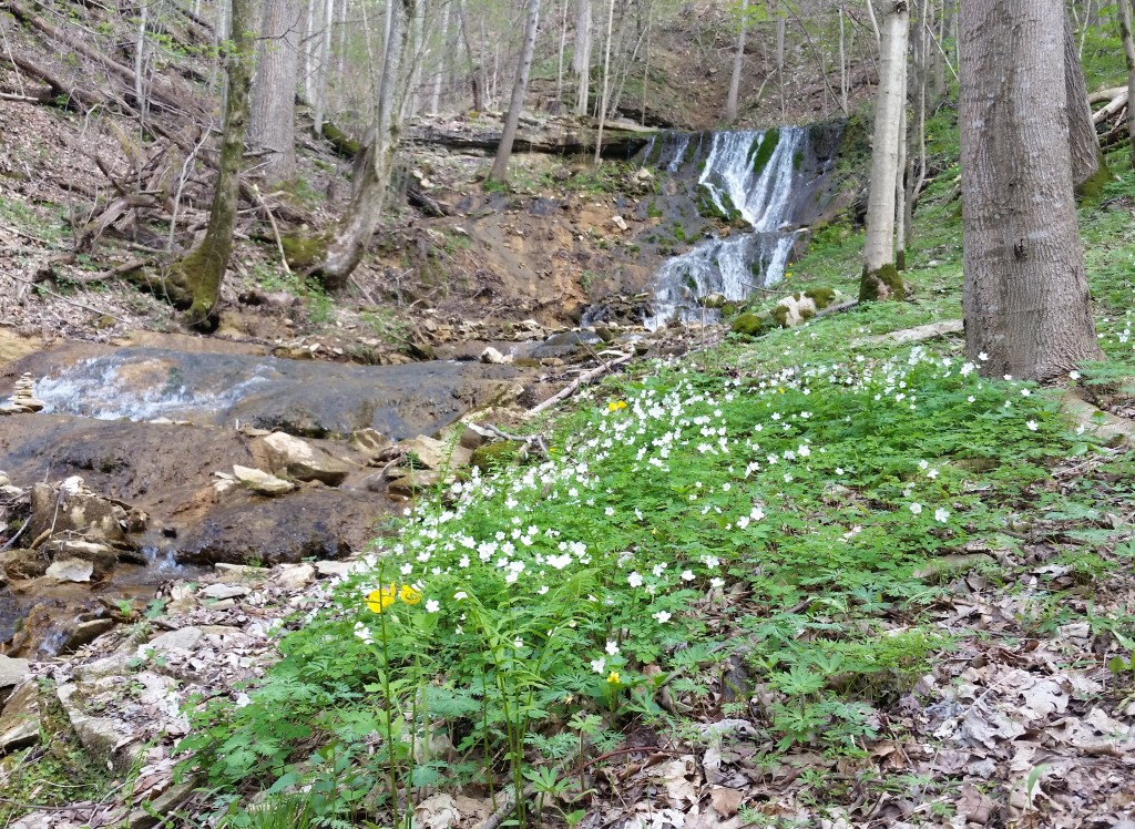
Tioga Falls Trail, Louisville Nashville Turnpike, West Point, KY, USA
Distance: 3.22 mi (straight line)

View Listing

Walks and Hikes

Jefferson County Memorial Forest

Jefferson County Memorial Forest, Louisville, KY, USA
Distance: 7.82 mi (straight line)

View Listing

Outdoor Experiences Walks and Hikes

Buttermilk Falls Hiking and Biking Trail

214 River Road, Brandenburg, KY, USA
Distance: 12.70 mi (straight line)

View Listing

Outdoor Experiences Walks and Hikes

Brandenburg Riverfront Park

River Front Park, Water Street, Brandenburg, KY, USA
Distance: 12.75 mi (straight line)

View Listing

RV and Camping Walks and Hikes Outdoor Experiences

Jailhouse Pizza
Jailhouse Pizza

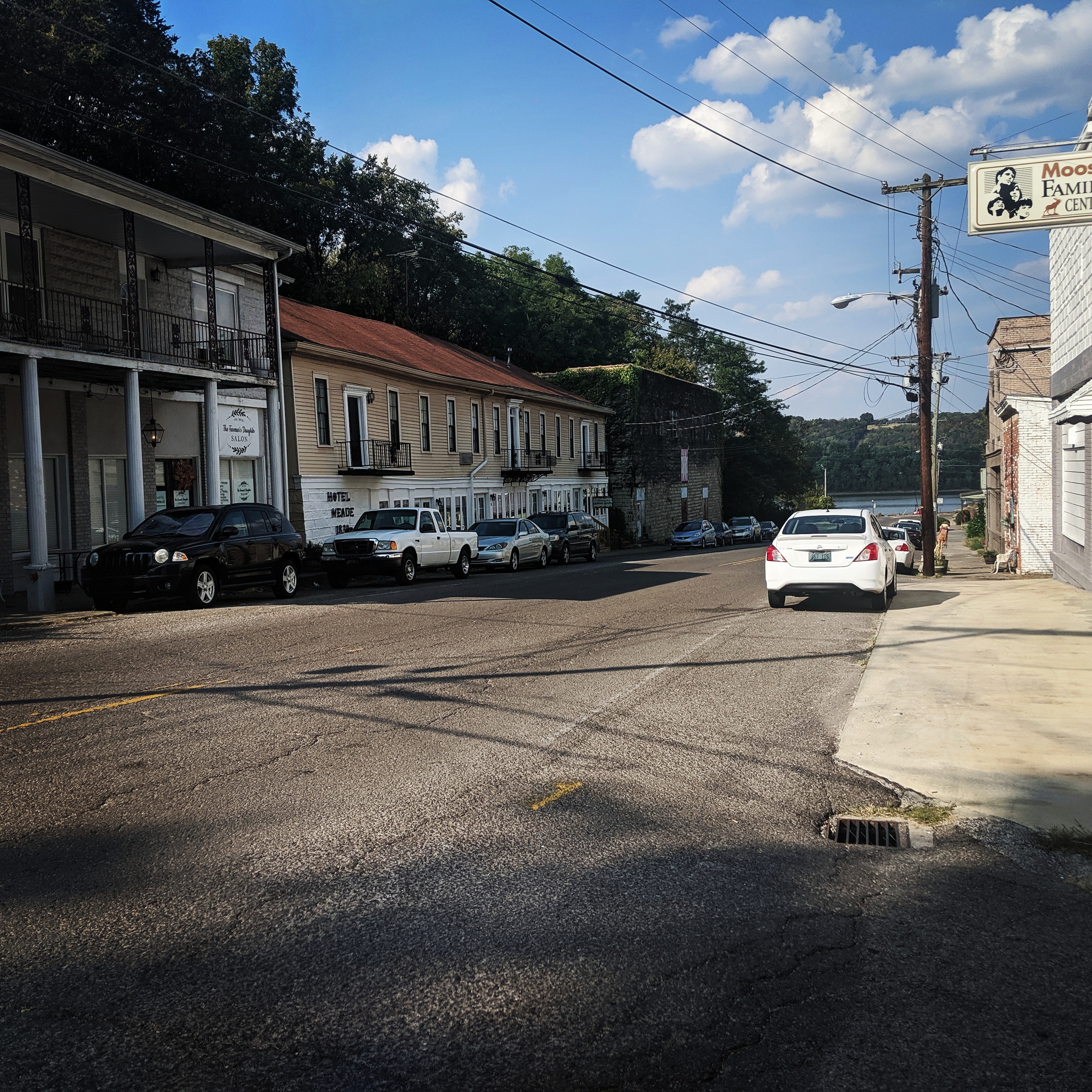
Jailhouse Pizza, Main Street, Brandenburg, KY, USA
Distance: 12.86 mi (straight line)

View Listing

Food and Drinks

Historic Downtown Brandenburg

79 Broadway Street, Brandenburg, KY 40108, USA
Distance: 13.03 mi (straight line)

View Listing

Cultural Districts

The Olin Guest House

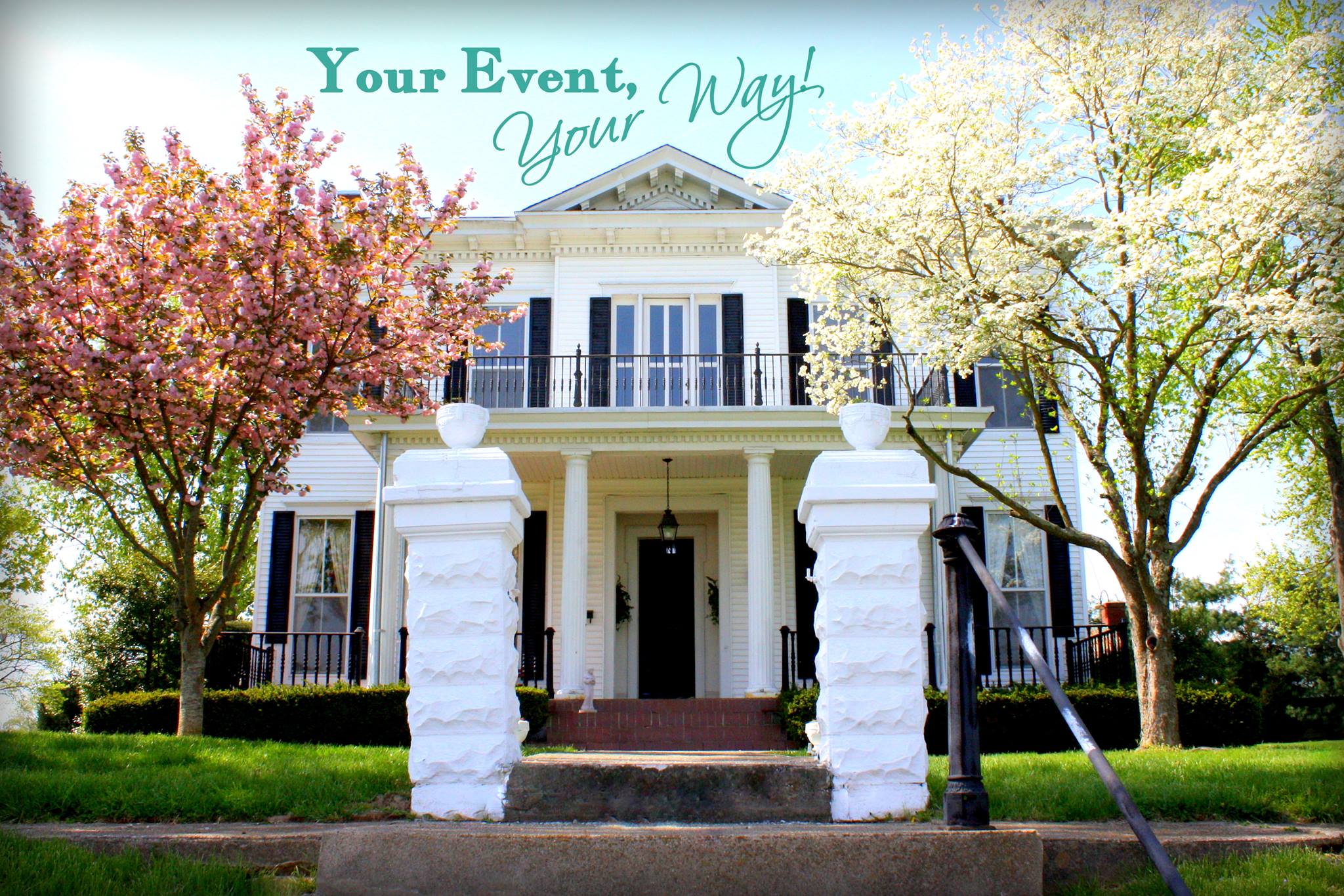
The Olin Guest House, Lawrence Street, Brandenburg, KY, USA
Distance: 13.27 mi (straight line)

View Listing

Food and Drinks Lodging

The Little Loomhouse

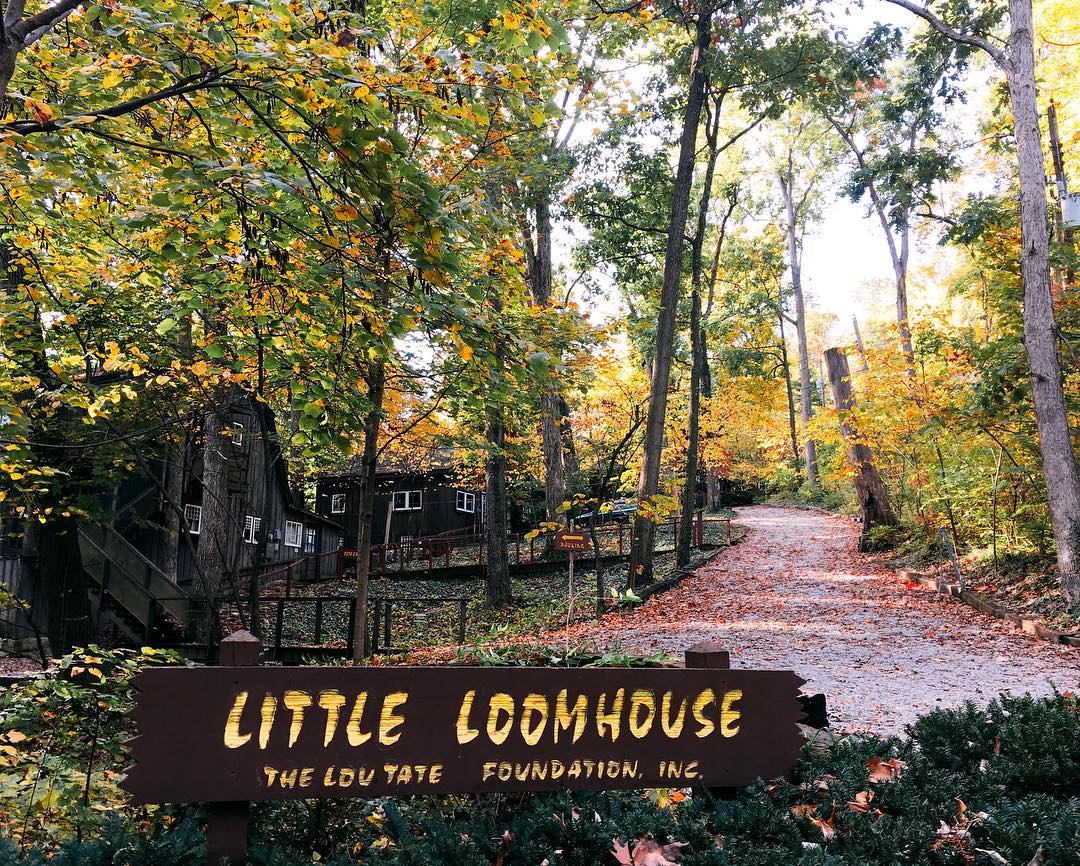
The Little Loomhouse, Kenwood Hill Road, Louisville, KY, USA
Distance: 13.51 mi (straight line)

View Listing

Guided Tours Galleries and Venues

Churchill Downs
Churchill Downs

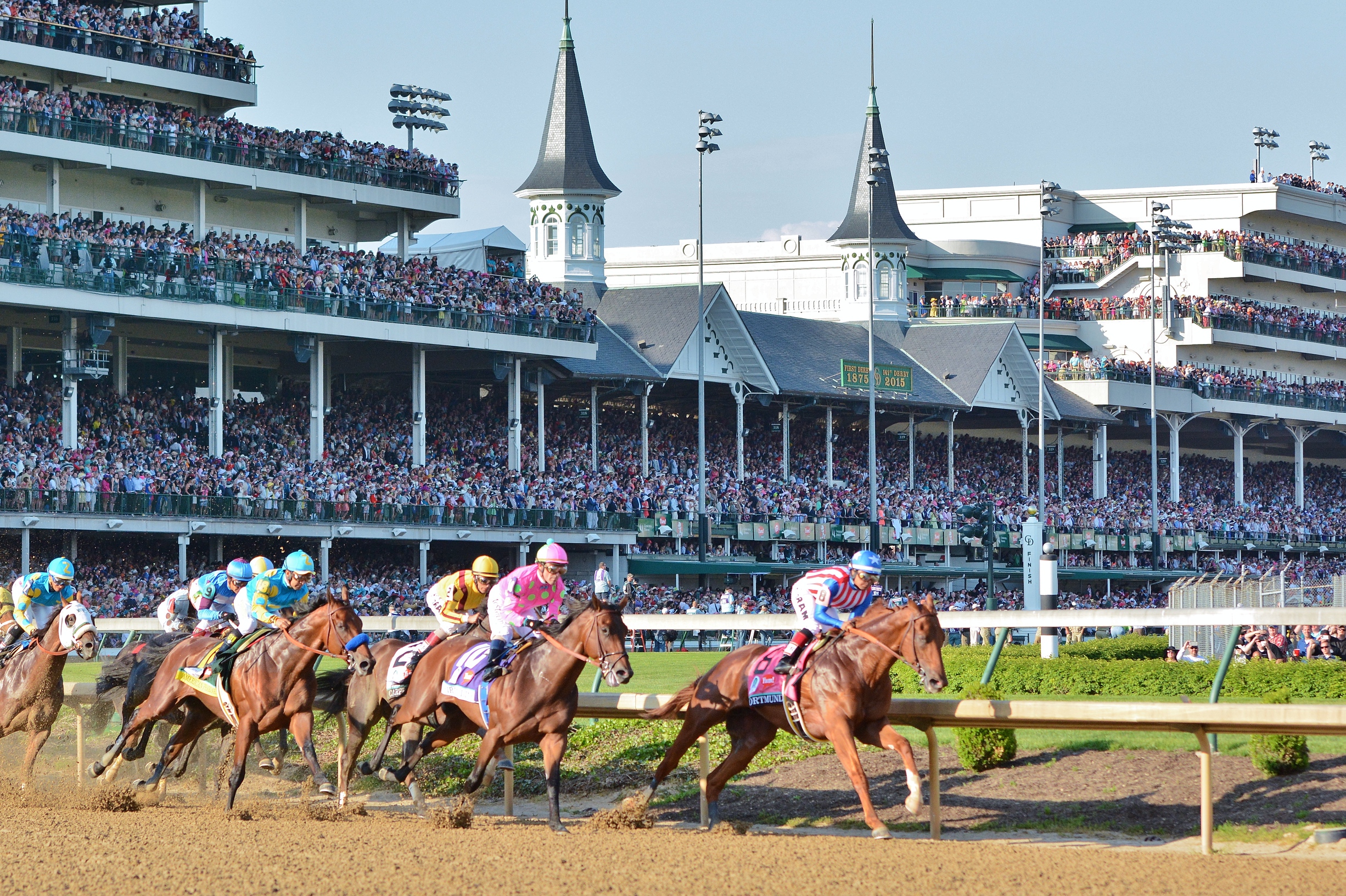
Churchill Downs, Central Avenue, Louisville, KY, USA
Distance: 15.98 mi (straight line)

View Listing

Guided Tours Other

Kentucky Derby Museum

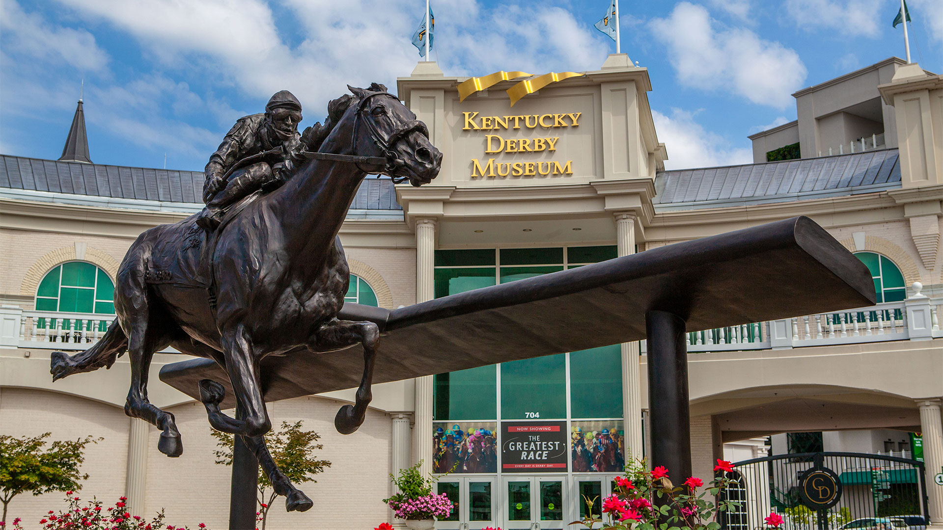
Kentucky Derby Museum, Central Avenue, Louisville, KY, USA
Distance: 16.12 mi (straight line)

View Listing

Museums and Interpretive Centers

The Conrad-Caldwell House Museum

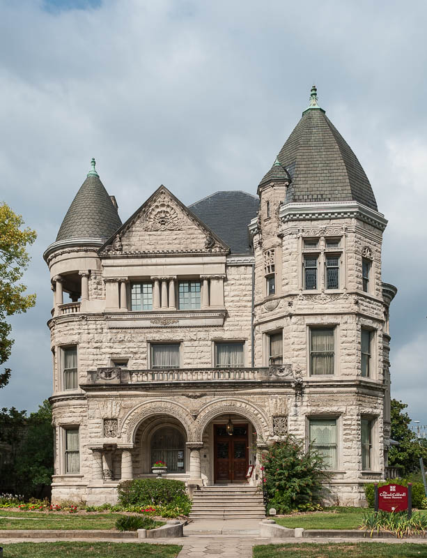
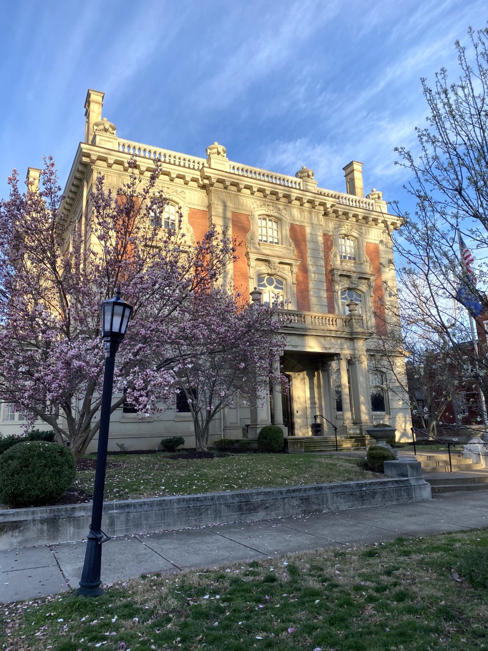
Conrad-Caldwell House Museum, Saint James Court, Louisville, KY, USA
Distance: 17.72 mi (straight line)

View Listing

Guided Tours Museums and Interpretive Centers

Shawnee Park (Louisville)

Shawnee Park, West Broadway, Louisville, KY, USA
Distance: 17.85 mi (straight line)

View Listing

Outdoor Experiences Walks and Hikes Viewpoints

Filson Historical Society

Filson Historical Society, South 3rd Street, Louisville, KY, USA
Distance: 18.01 mi (straight line)

View Listing

LC Features Museums and Interpretive Centers

Mulberry Hill
Mulberry Hill

George Rogers Clark Park, Thruston Avenue, Louisville, KY, USA
Distance: 18.03 mi (straight line)

View Listing

LC Features Outdoor Experiences

Monnik Beer Co.
Monnik Beer Co.

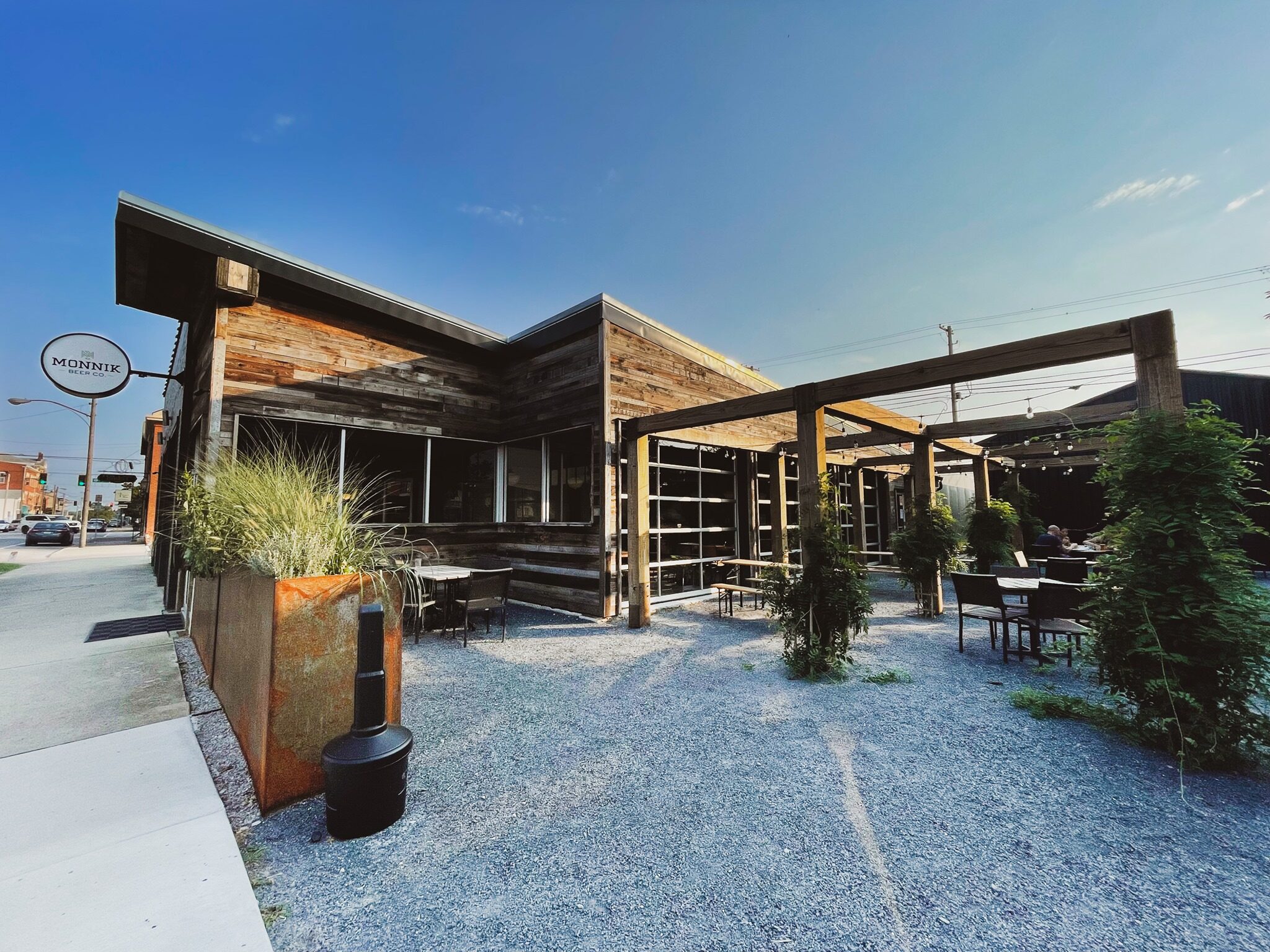
Monnik Beer Company, East Burnett Avenue, Louisville, KY, USA
Distance: 18.07 mi (straight line)

View Listing

Food and Drinks

Louisville Mega Cavern

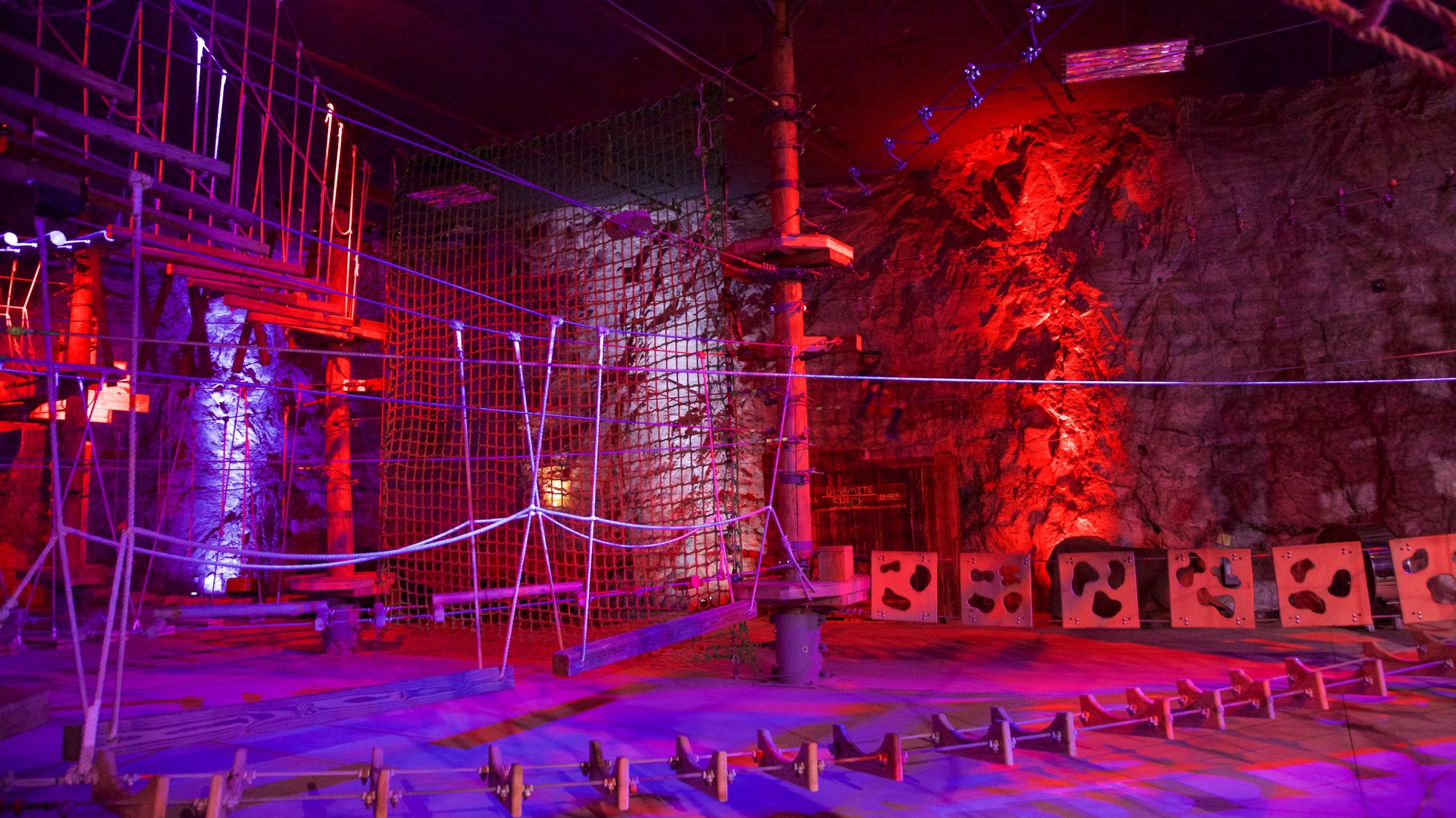
Louisville Mega Cavern, Taylor Avenue, Louisville, KY, USA
Distance: 18.15 mi (straight line)

View Listing

Fun and Sports

LCTE Travel Newsletter

Our bi-weekly newsletter provides news, history, and information for those interested in traveling along along the Lewis & Clark Trail.


By submitting this form, you are consenting to receive the Lewis and Clark Travel Experience newsletter provided by the Lewis & Clark Trail Alliance. You can revoke your consent at any time by using the SafeUnsubscribe® link, found at the bottom of every email. Emails are serviced by Constant Contact.

Instagram Feed