Horse Island Lewis & Clark Historic Marker

On Nov.27,1803, Lewis and Clark camped near this point, which at that time was the lower portion of Horse Island. Horse Island was located just below the mouth of the Kaskaskia River at the beginning of a sharp bend in the Mississippi. As a result of changes in the course of the river, Horse Island has been absorbed into the Missouri shoreline in the vicinity of this marker, and the Mississippi River has shifted its course eastward, carrying away the original village of Kaskaskia.
When the party reached Horse Island, Capt. Meriwether Lewis left his co-commander, William Clark, in charge of the keelboat and pirogues, while he was put ashore to walk the six-mile distance to Fort Kaskaskia. The fort was now an American Army post situated on the high ground on the east side of the Kaskaskia River opposite the village of Kaskaskia.
Clark and the rest of the men, meanwhile, pushed their boats into the Mississippi and begin to work their way around a long and difficult bend, known as Coco Bend. Clark had wanted to make calculations of latitude with his sextant but a thick morning mist obscured the sun. The west side of Coco Bend hugged the Missouri shore and Clark observed a range of highlands next to the river. At 1 p.m., the party passed Joseph Donahoe’s landing. Boats loaded salt from the salt works in Saline Creek at this place. Two hours later, Saline Creek itself was passed. In addition to the salt works on this creek, there was also a thriving settlement. The party rounded Coco Bend and pulled up to Kaskaskia Landing on the Illinois shore. On the opposite side of the river was the former west bank community of Old Ste. Genevieve, known locally as “misar” (phonetic for misère in French, or misery in English). This community was relocated after disastrous floods in the 1780s.
There is a roadside historical marker for visitors to glen into the times and landscape of 1803 when they camped here.
(description courtesy waymarking.com)
Chester Welcome Center, 10 Bridge Bypass Rd, Chester, IL 62233, USA
Distance: 0.80 mi (straight line)
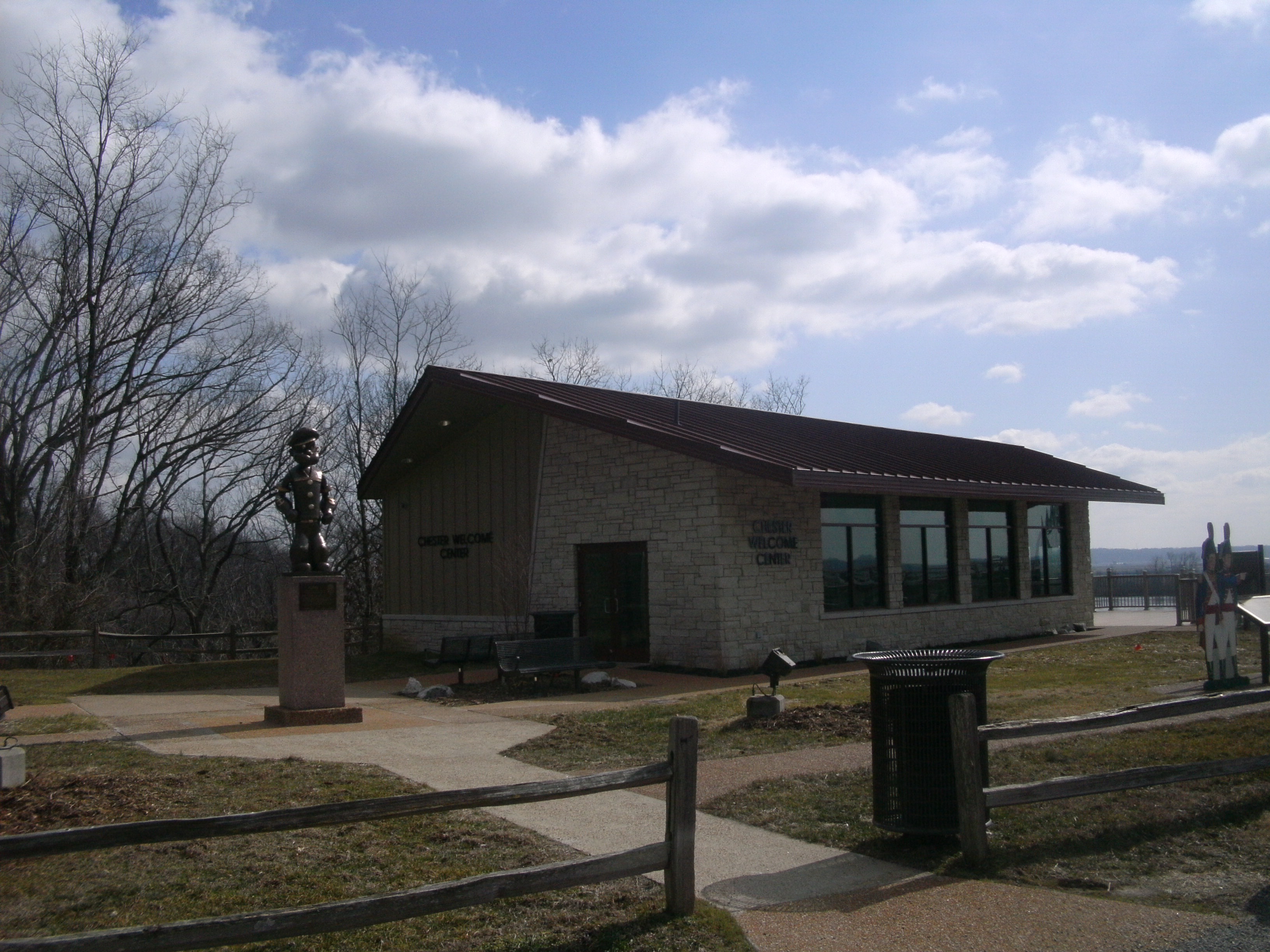
Chester Welcome Center, Bridge Bypass Road, Chester, IL, USA
Distance: 0.80 mi (straight line)
Museums and Interpretive Centers
View Listing
Chester Welcome Center, Bridge Bypass Road, Chester, IL, USA
Distance: 0.80 mi (straight line)
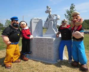
Segar Memorial Park
Distance: 0.81 mi (straight line)
General History Outdoor Experiences
View Listing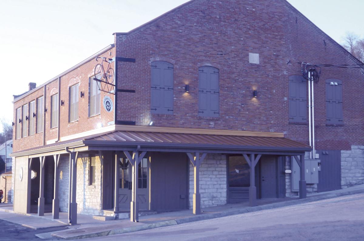
St. Nicholas Landmark, Ferry Street, Chester, IL, USA
Distance: 0.82 mi (straight line)
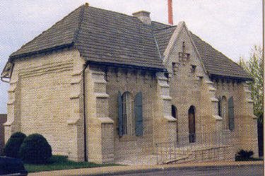
Randolph County IL Courthouse, West Taylor Street, Chester, Illinois, USA
Distance: 0.95 mi (straight line)
Museums and Interpretive Centers
View Listing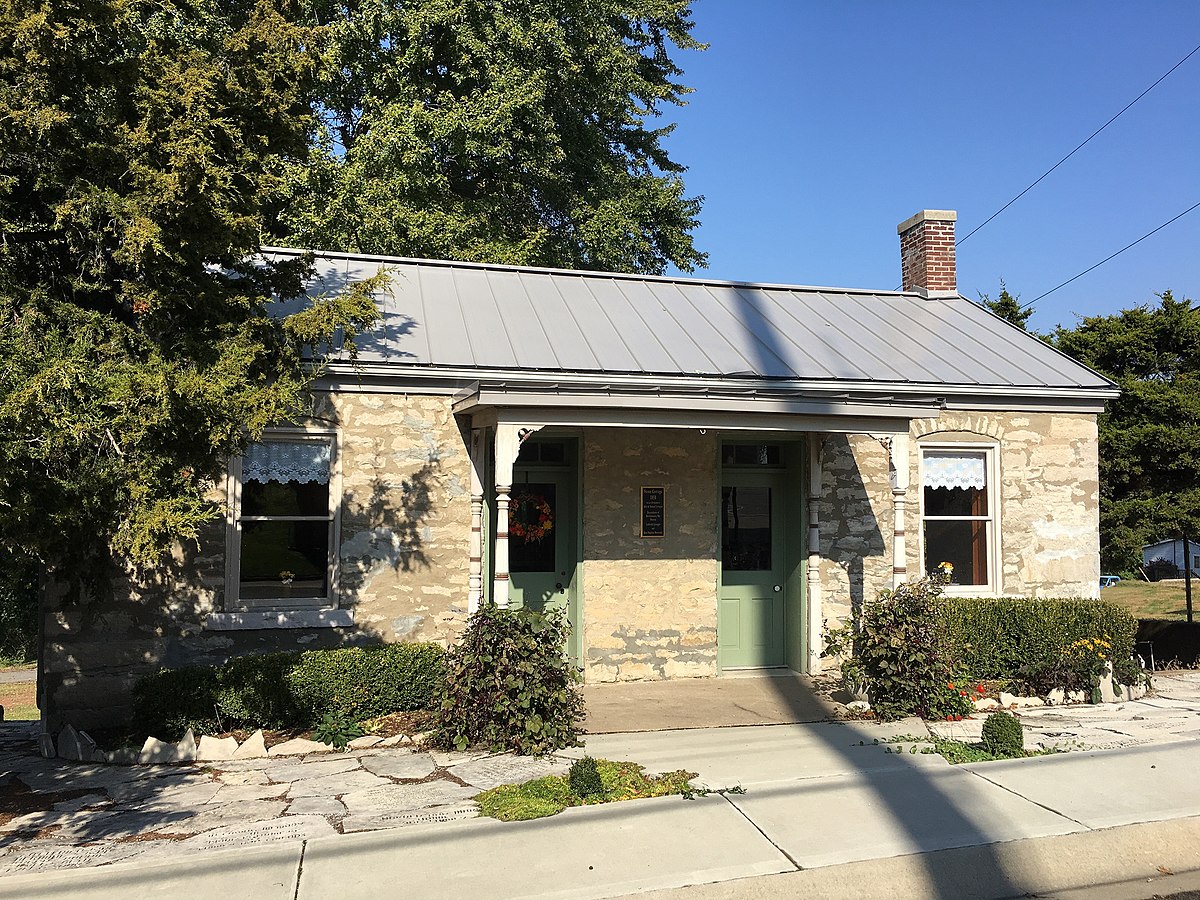
Frederick Weistar House Historic Site, Chestnut Street, Chester, IL, USA
Distance: 0.96 mi (straight line)
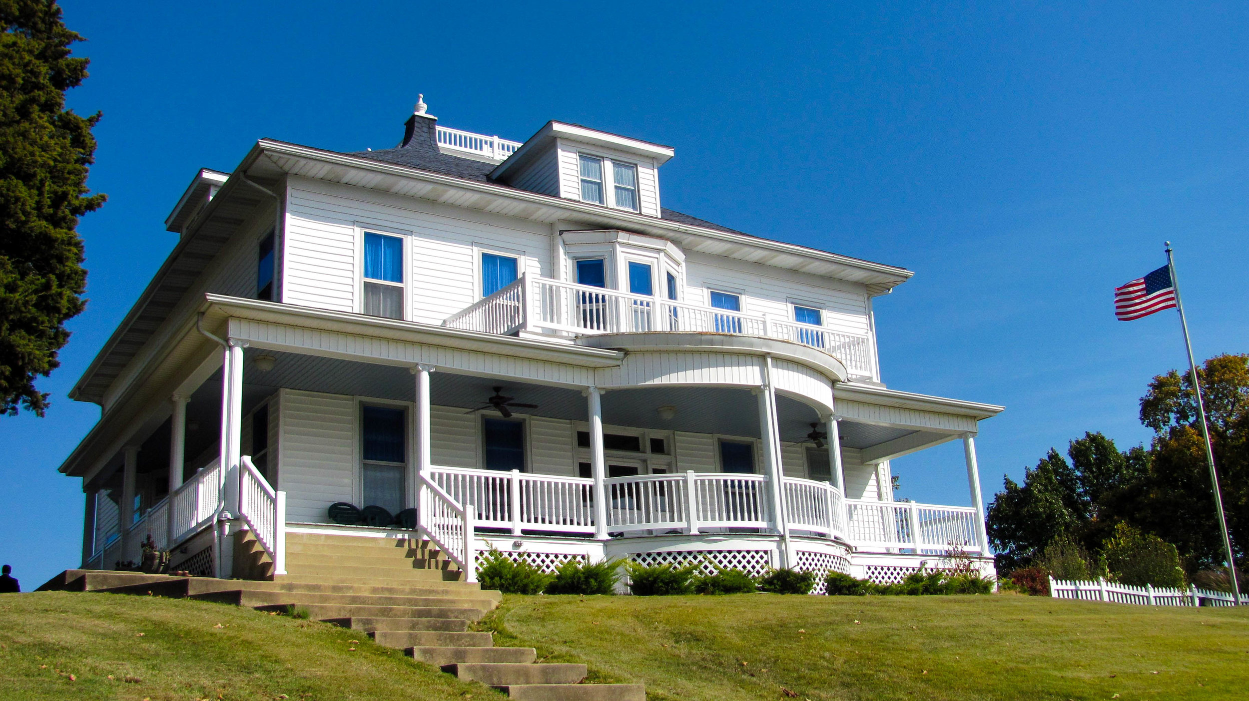
Cohen Memorial Home, Harrison Street, Chester, IL, USA
Distance: 0.99 mi (straight line)
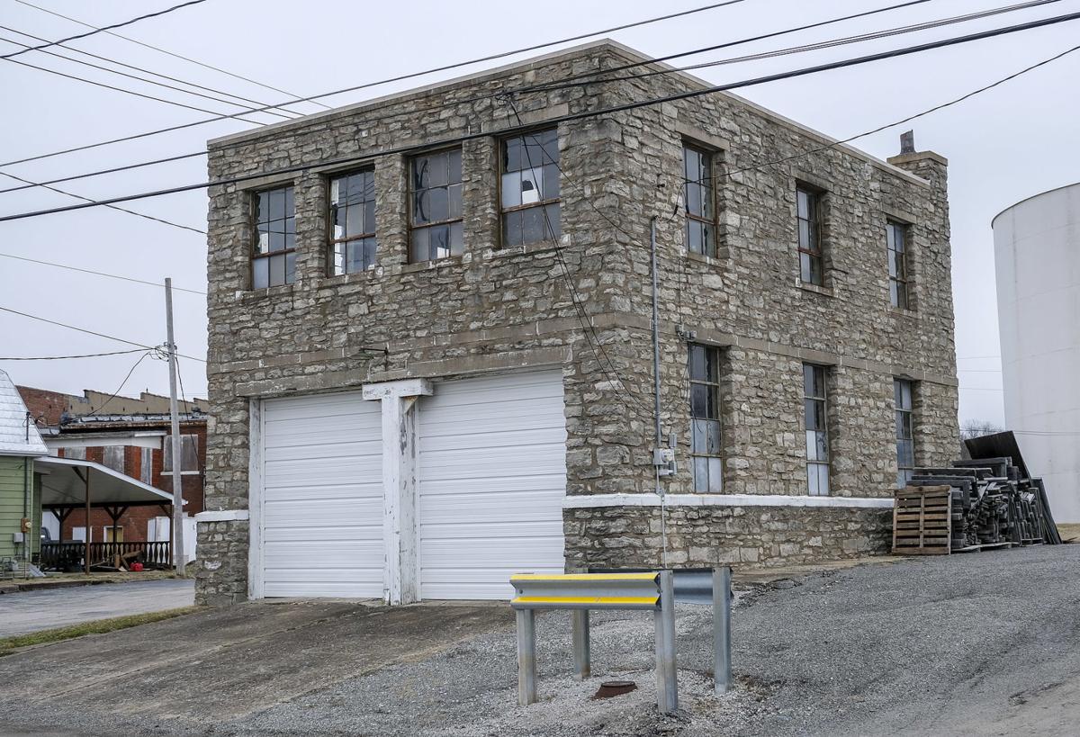
822 Swanwick St, Chester, IL 62233, USA
Distance: 1.45 mi (straight line)

Spinach Can Collectibles, State Street, Chester, IL, USA
Distance: 1.55 mi (straight line)
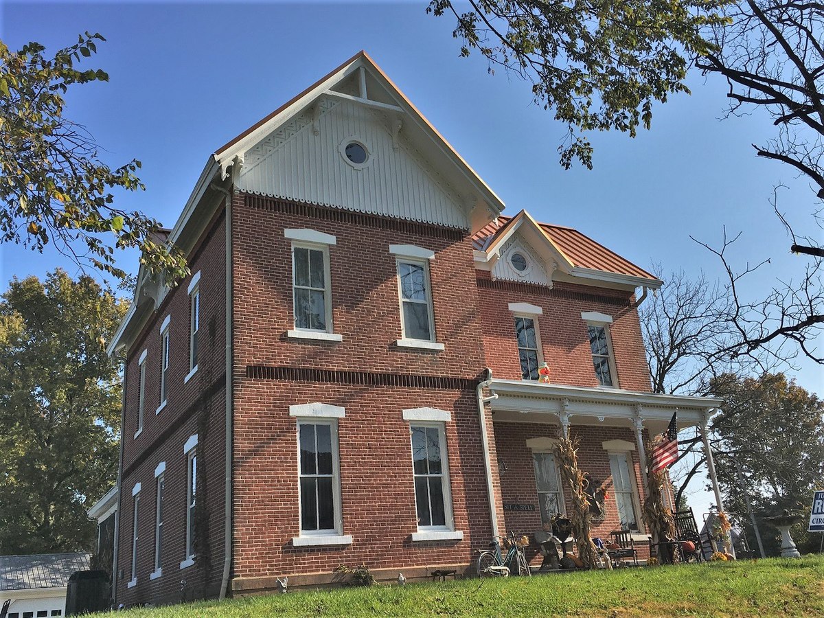
217 Opdyke Street, Chester, IL, USA
Distance: 1.56 mi (straight line)
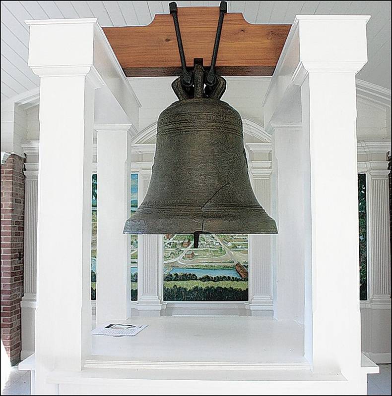
Kaskaskia Bell State Historic Site (Liberty Bell of the West), 1st Street, Chester, IL, USA
Distance: 4.35 mi (straight line)
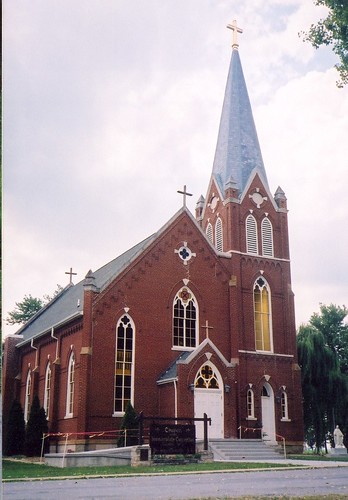
203 1st St, Chester, IL 62233
Distance: 4.38 mi (straight line)
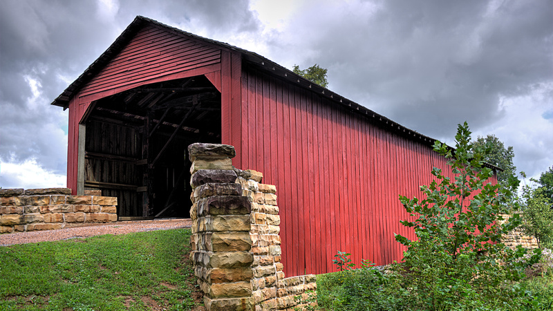
Mary's River Covered Bridge, Chester, IL, USA
Distance: 5.55 mi (straight line)
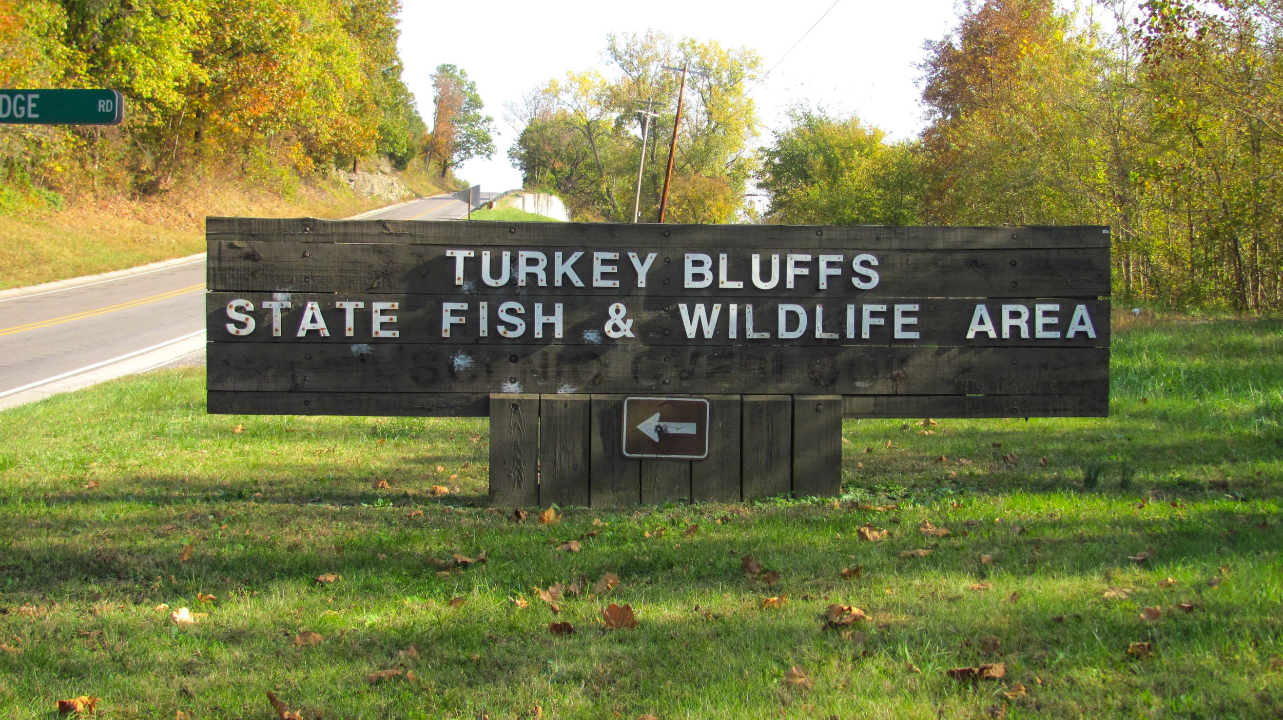
Turkey Bluffs State Fish and Wildlife Area, South Lake Drive, Chester, IL, USA
Distance: 5.70 mi (straight line)
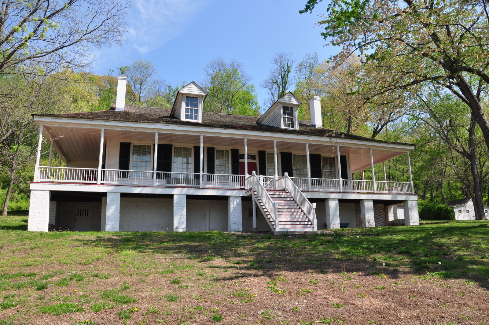
Pierre Menard Home State Historic Site, Kaskaskia Street, Ellis Grove, IL, USA
Distance: 5.76 mi (straight line)
Museums and Interpretive Centers
View Listing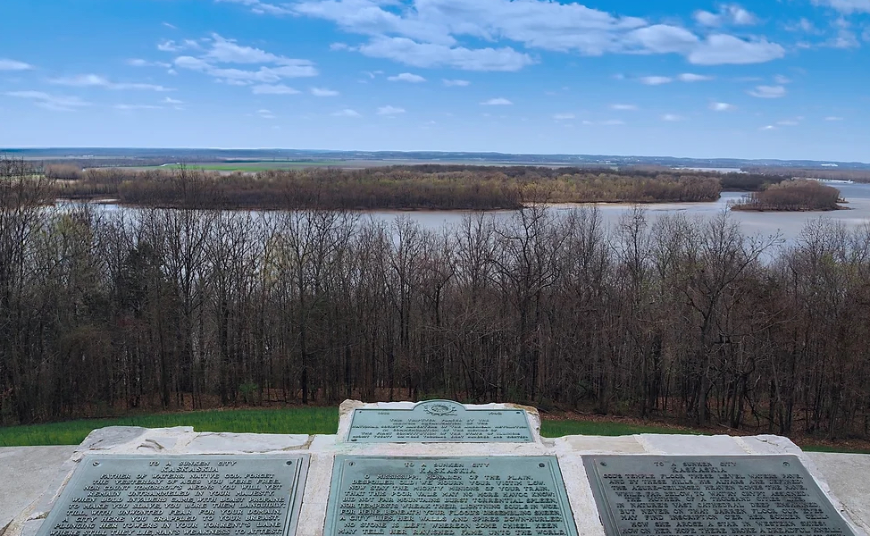
4372 Park Rd, Ellis Grove, IL 62241, USA
Distance: 6.22 mi (straight line)
Viewpoints Walks and Hikes LC Features Forts RV and Camping
View ListingOur bi-weekly newsletter provides news, history, and information for those interested in traveling along along the Lewis & Clark Trail.