Floyd County, Indiana
Other
Indiana
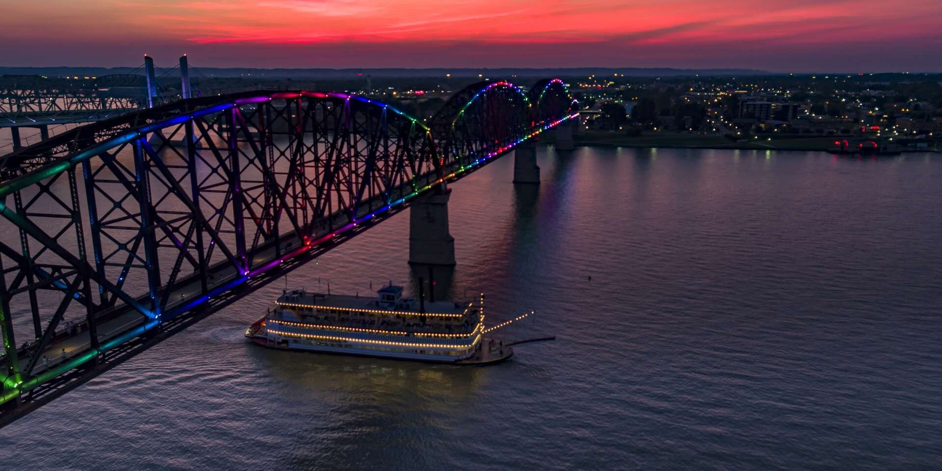
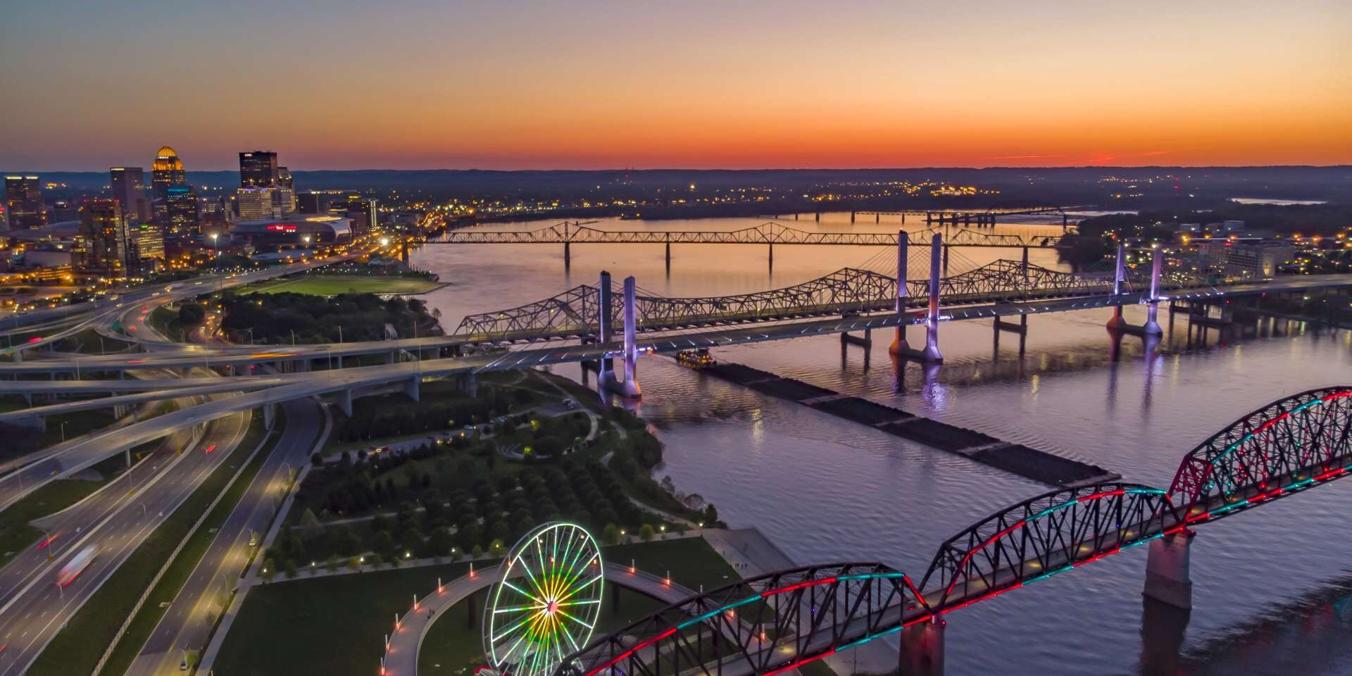
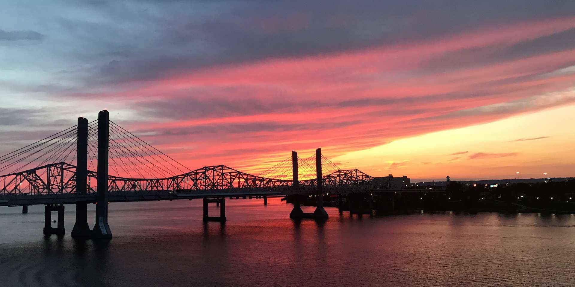
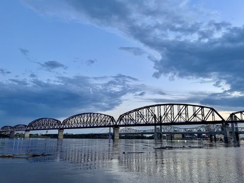
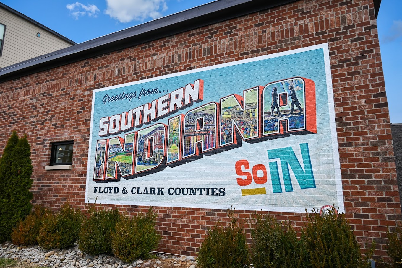
Floyd County, Indiana borders Louisville, Kentucky, and sits right along the Ohio River which separates the two. It is the county west of Clark County, Indiana which has the most relevance to the Lewis & Clark National Historic Trail but both counties make up, southern Indiana or “SoIN”.
The county is named after Brigadier General John Floyd who was one of the leading pioneers in the Louisville area. The land was awarded to George Rogers Clark after his brilliance in battle but sold the land to settlers once peace was restored after the Revolutionary War.
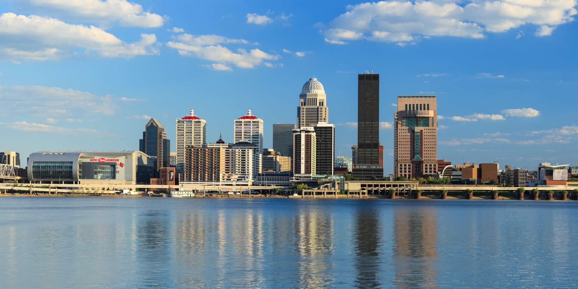
New Albany is the largest town within the county which has a fantastic walkable riverside downtown and was once the largest city in the state for most of the 19th century.
Other towns within the county include Floyds Knobs, Georgetown, and Greenville.
Notable attractions and things to do within Floyd County are:
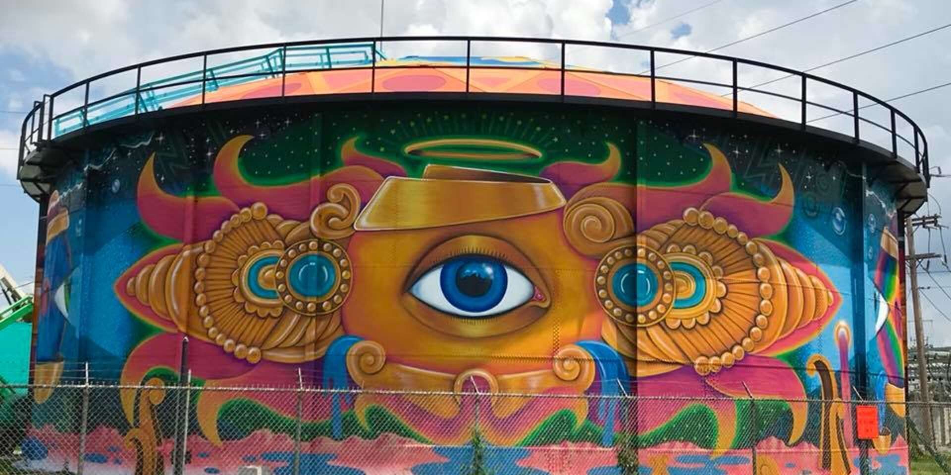
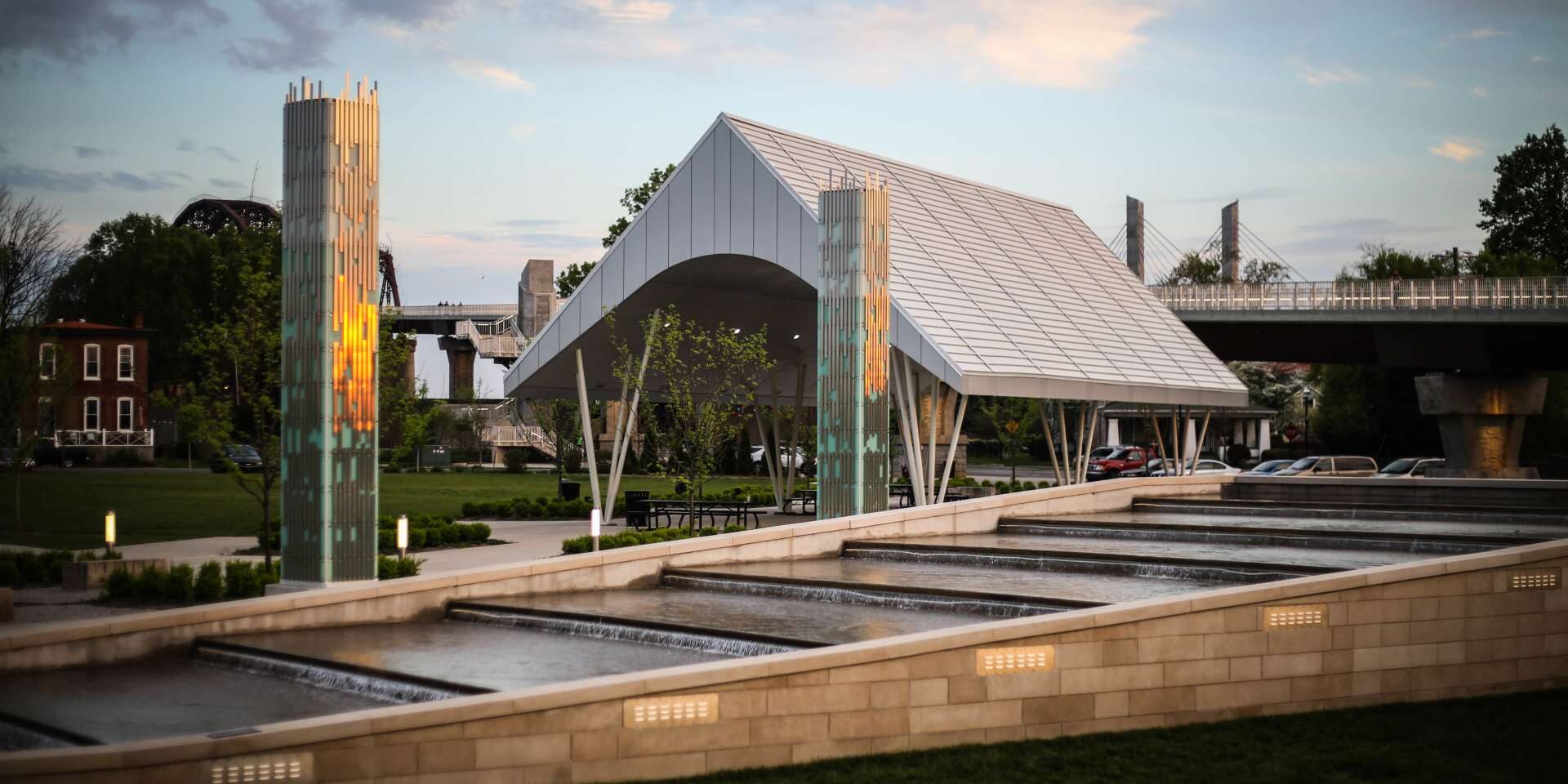
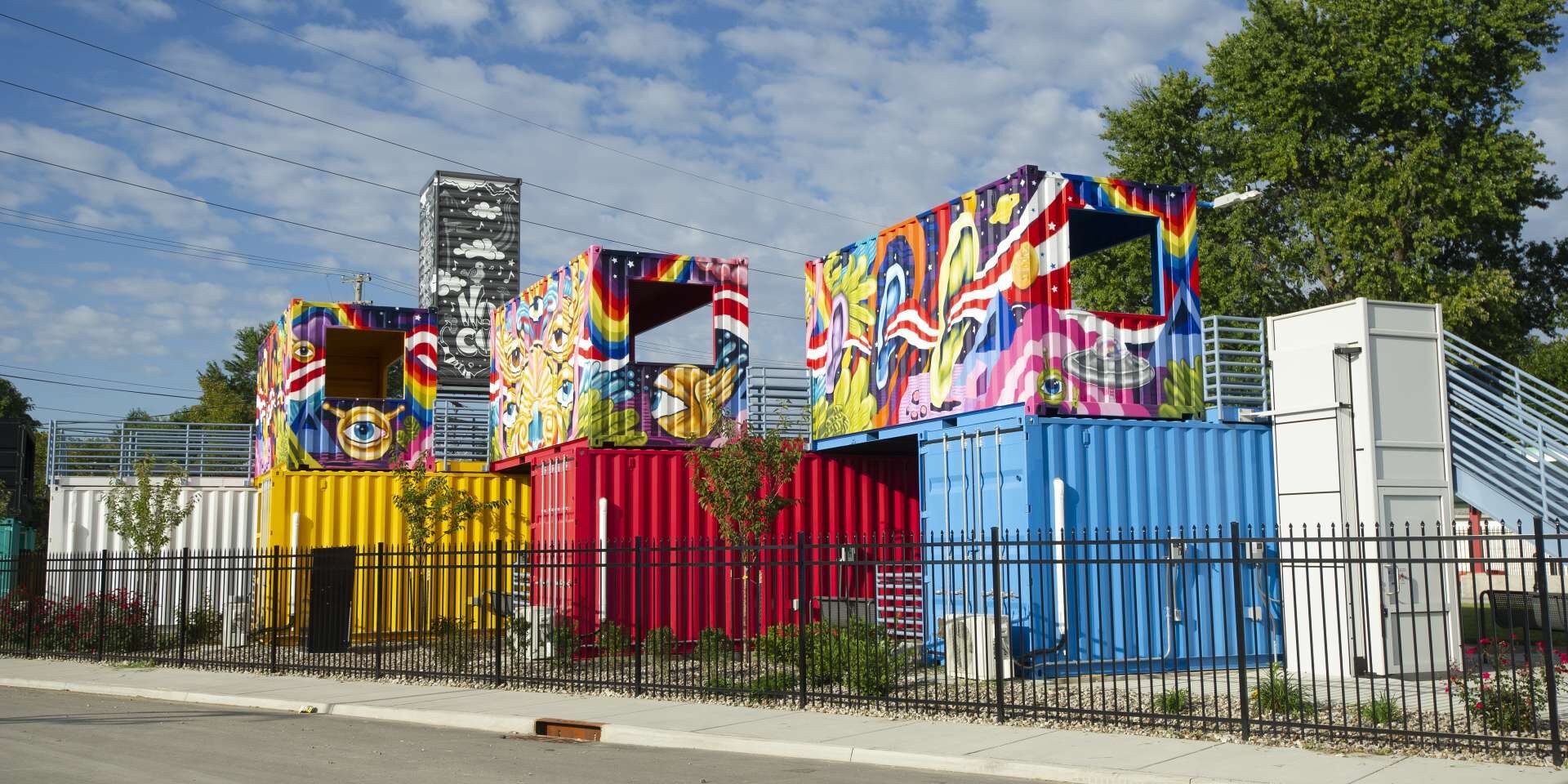
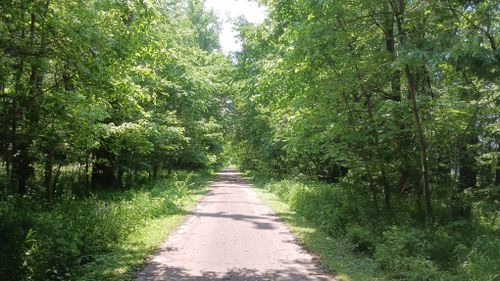
Ohio River Greenway, New Albany, IN, USA
Distance: 3.83 mi (straight line)
Outdoor Experiences Walks and Hikes Viewpoints
View Listing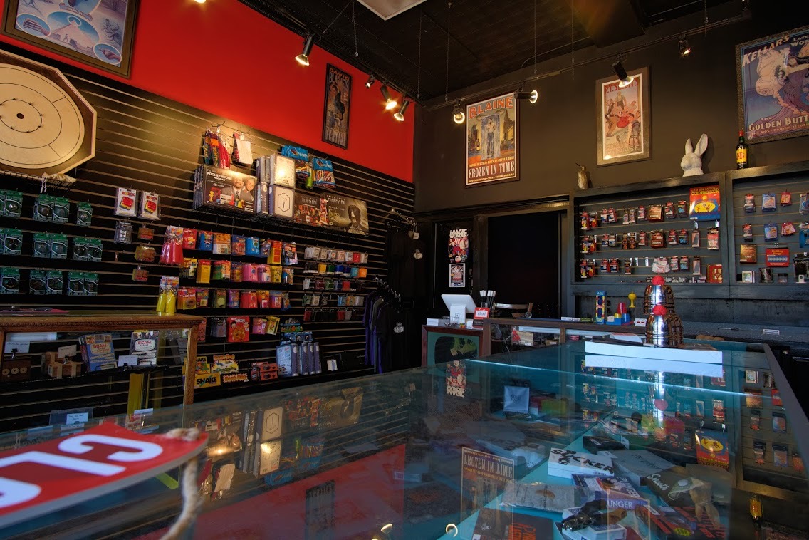
J & B Magic Shop and Theater, East Spring Street, New Albany, IN, USA
Distance: 3.91 mi (straight line)
Shawnee Park, West Broadway, Louisville, KY, USA
Distance: 3.93 mi (straight line)
Outdoor Experiences Walks and Hikes Viewpoints
View Listing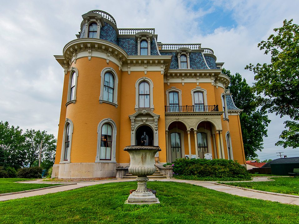
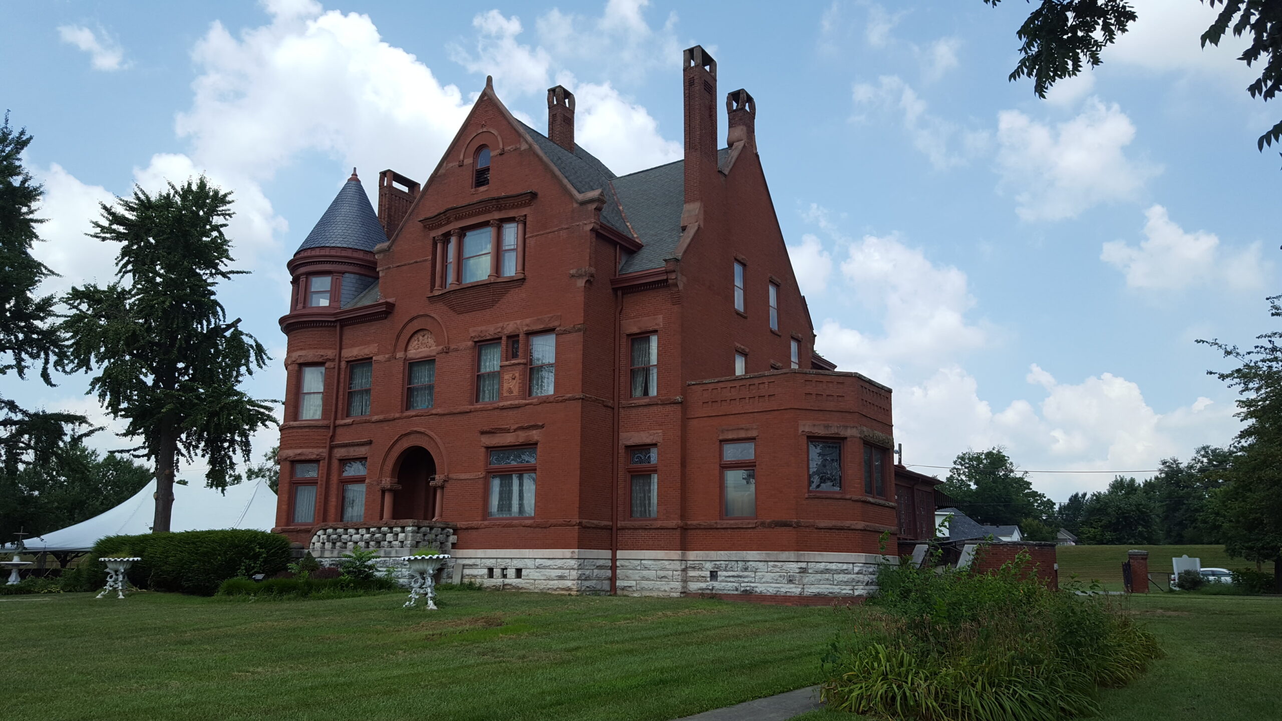
Culbertson Mansion State Historic Site, East Main Street, New Albany, IN, USA
Distance: 4.17 mi (straight line)
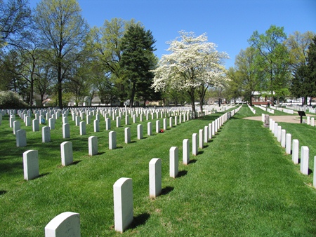
New Albany National Cemetery, Ekin Avenue, New Albany, IN, USA
Distance: 4.66 mi (straight line)
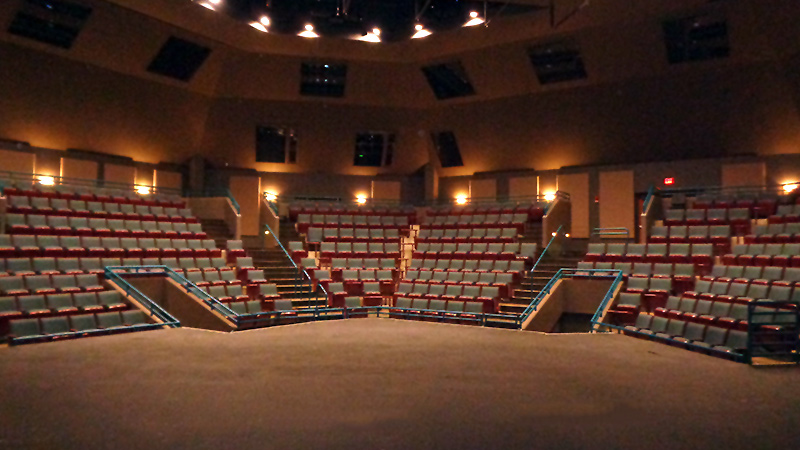
Ogle Center at IU Southeast, Grant Line Road, New Albany, IN, USA
Distance: 5.64 mi (straight line)
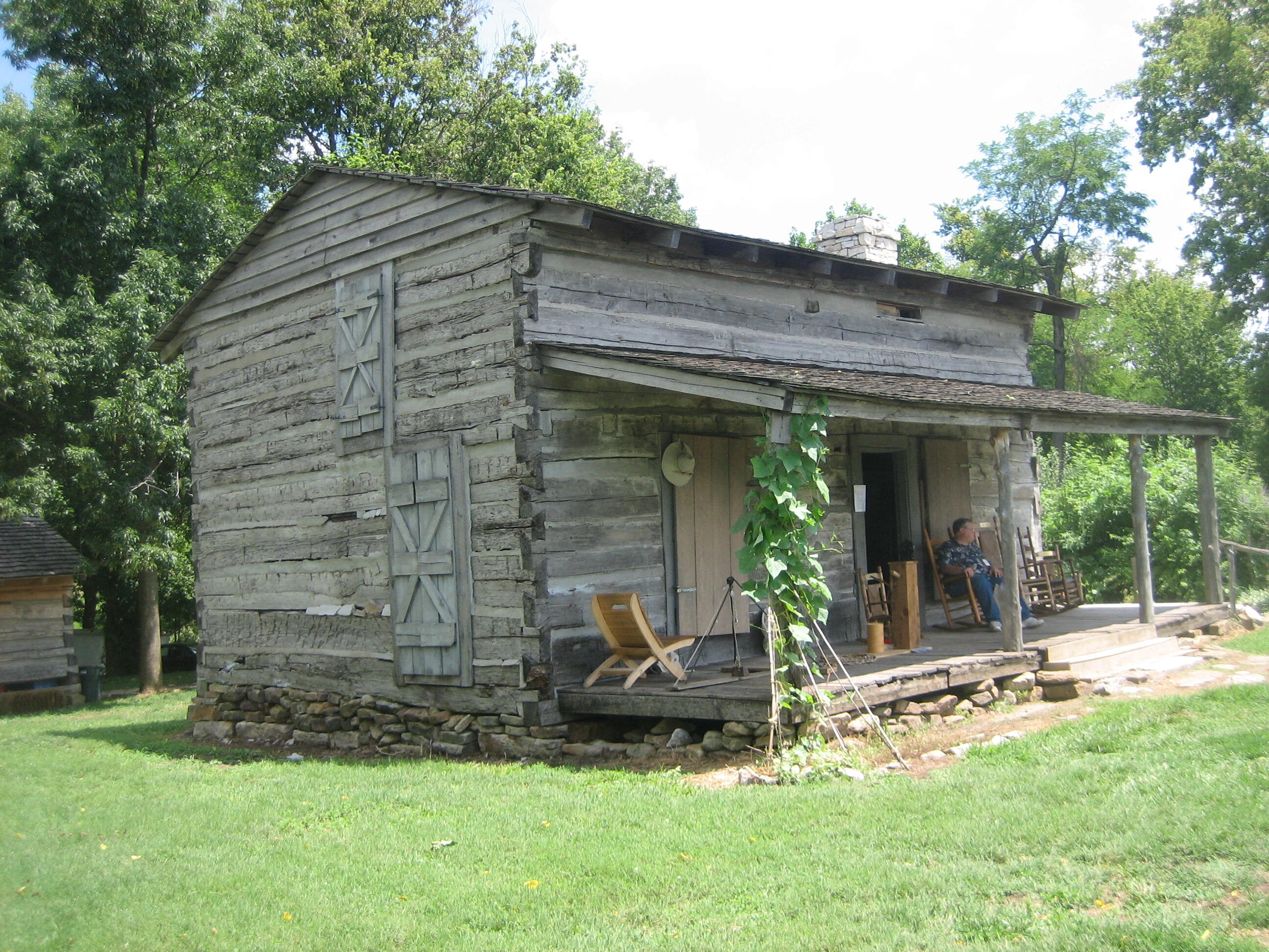
George Rogers Clark Homesite, Harrison Avenue, Clarksville, IN, USA
Distance: 6.16 mi (straight line)
LC Features Museums and Interpretive Centers
View Listing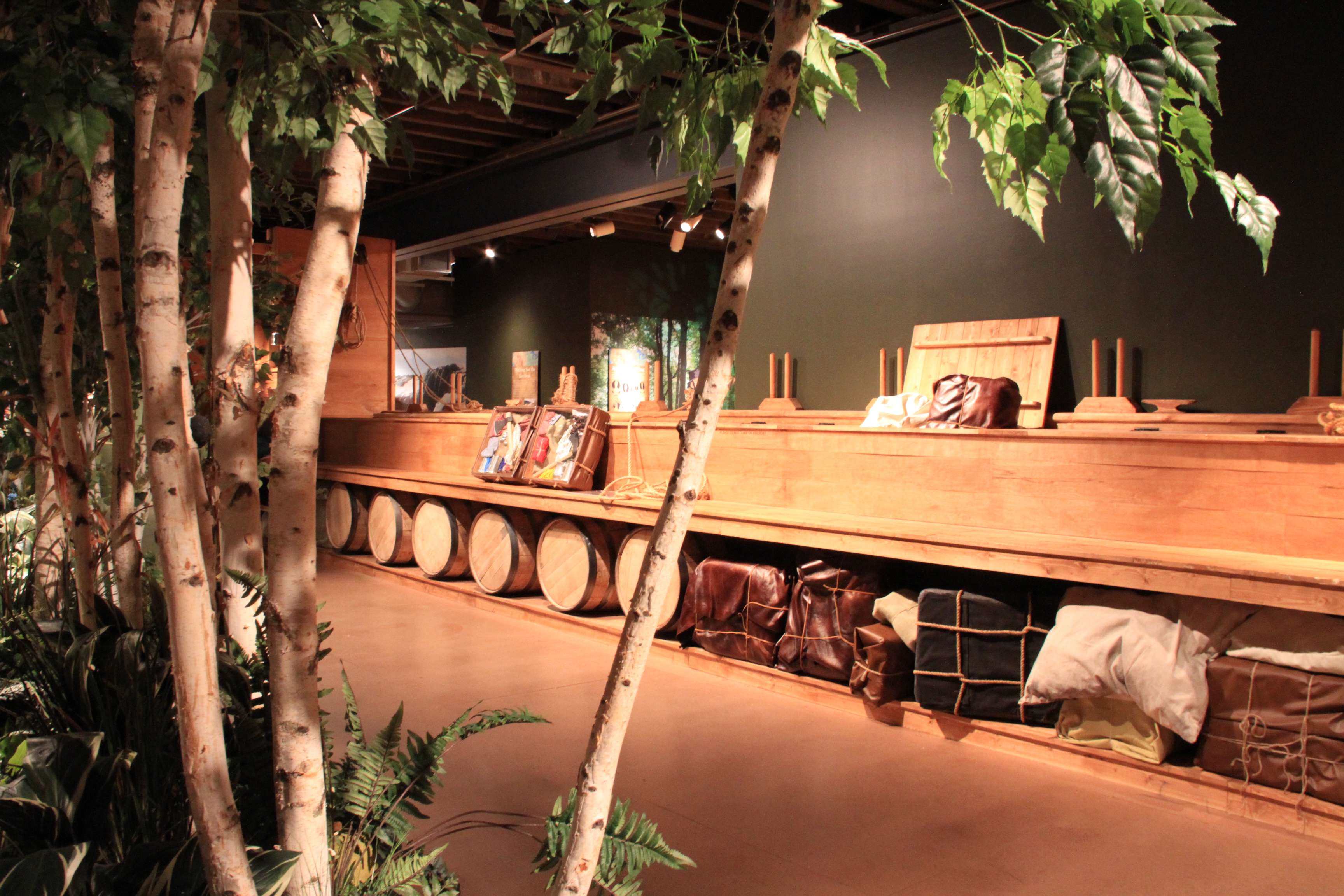
Frazier History Museum, West Main Street, Louisville, Kentucky, USA
Distance: 7.08 mi (straight line)
Museums and Interpretive Centers LC Features
View Listing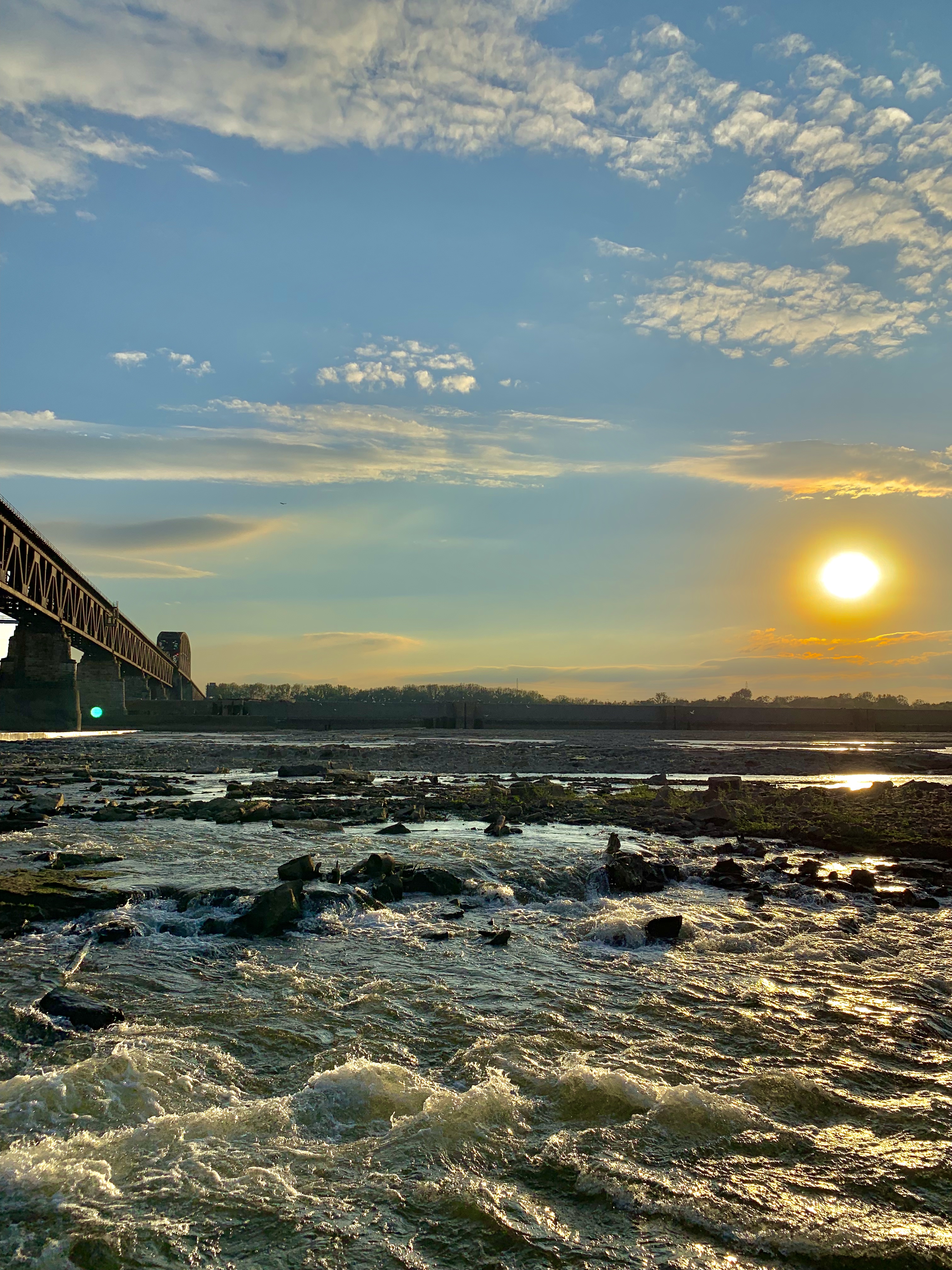
Falls of the Ohio State Park, West Riverside Drive, Clarksville, IN, USA
Distance: 7.10 mi (straight line)
Outdoor Experiences LC Features
View Listing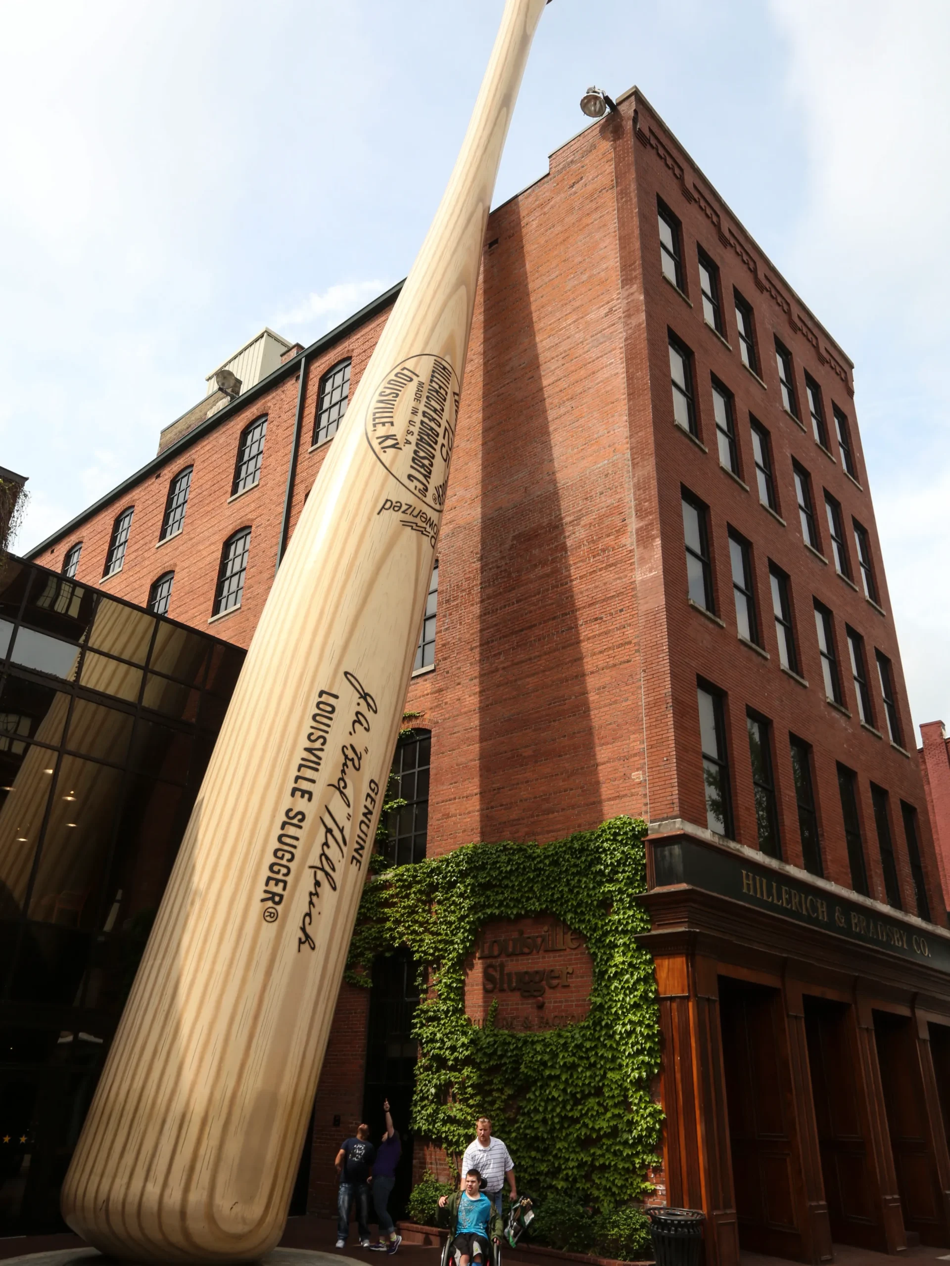
Louisville Slugger Museum & Factory, West Main Street, Louisville, KY, USA
Distance: 7.12 mi (straight line)
Guided Tours Shopping Museums and Interpretive Centers
View Listing
Kentucky Science Center, West Main Street, Louisville, KY, USA
Distance: 7.17 mi (straight line)
Museums and Interpretive Centers LC Features
View Listing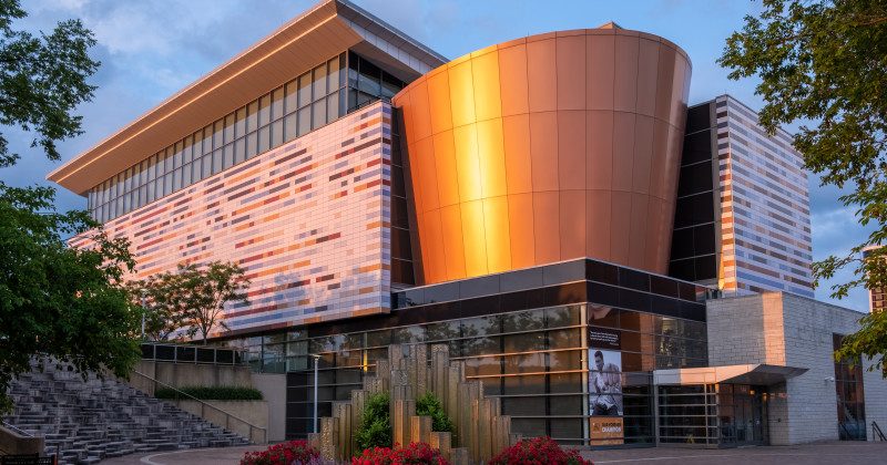
Muhammad Ali Center, North 6th Street, Louisville, KY, USA
Distance: 7.31 mi (straight line)
Museums and Interpretive Centers
View Listing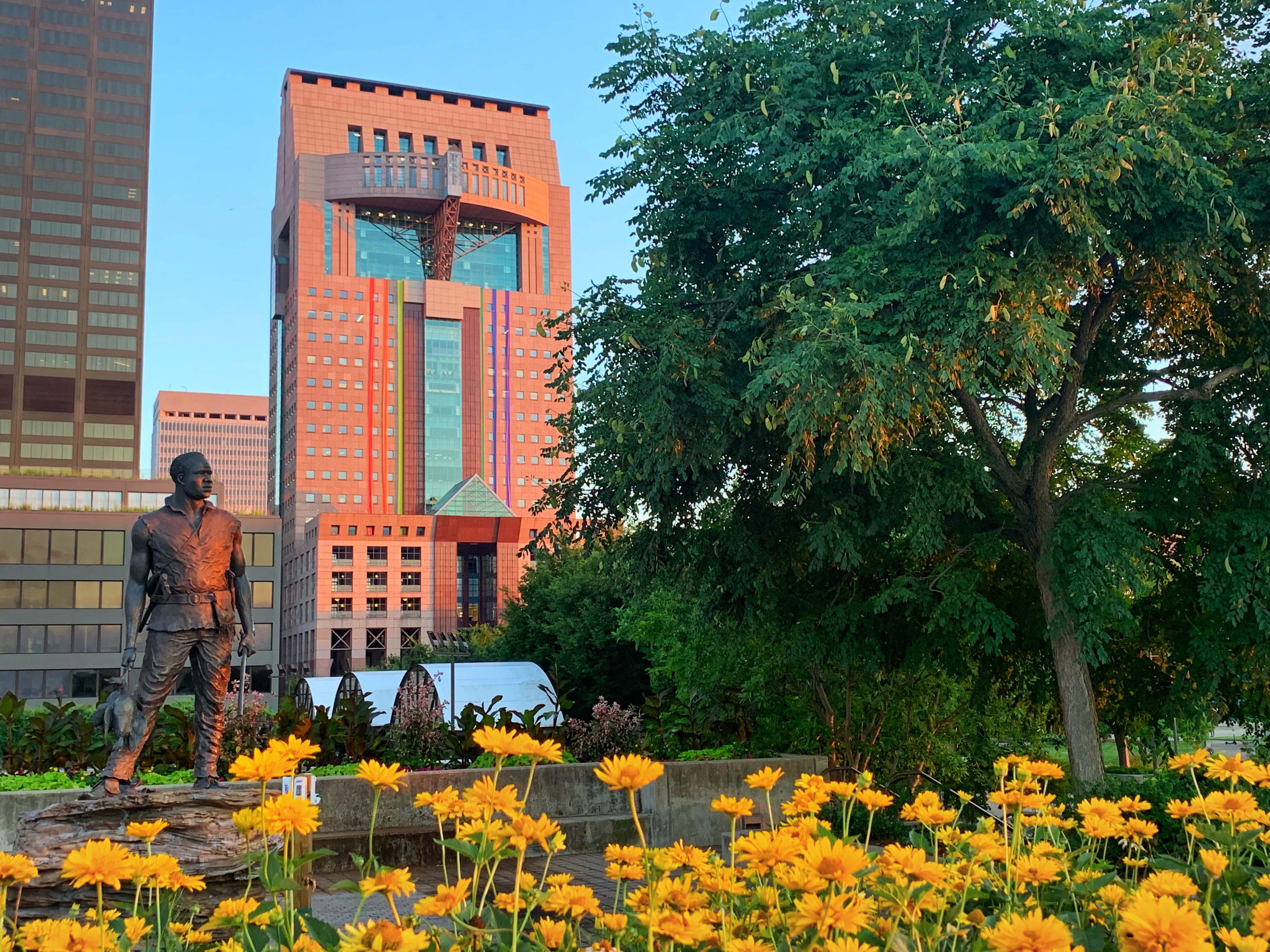
York Statue on the Louisville Belvedere
Distance: 7.40 mi (straight line)

411 S 4th St, Louisville, KY 40202, USA
Distance: 7.57 mi (straight line)
305 Southern Indiana Avenue, Jeffersonville, Indiana 47130, USA
Distance: 7.67 mi (straight line)
305 Southern Indiana Ave, Jeffersonville, IN 47130, USA
Distance: 7.67 mi (straight line)
Museums and Interpretive Centers
View Listing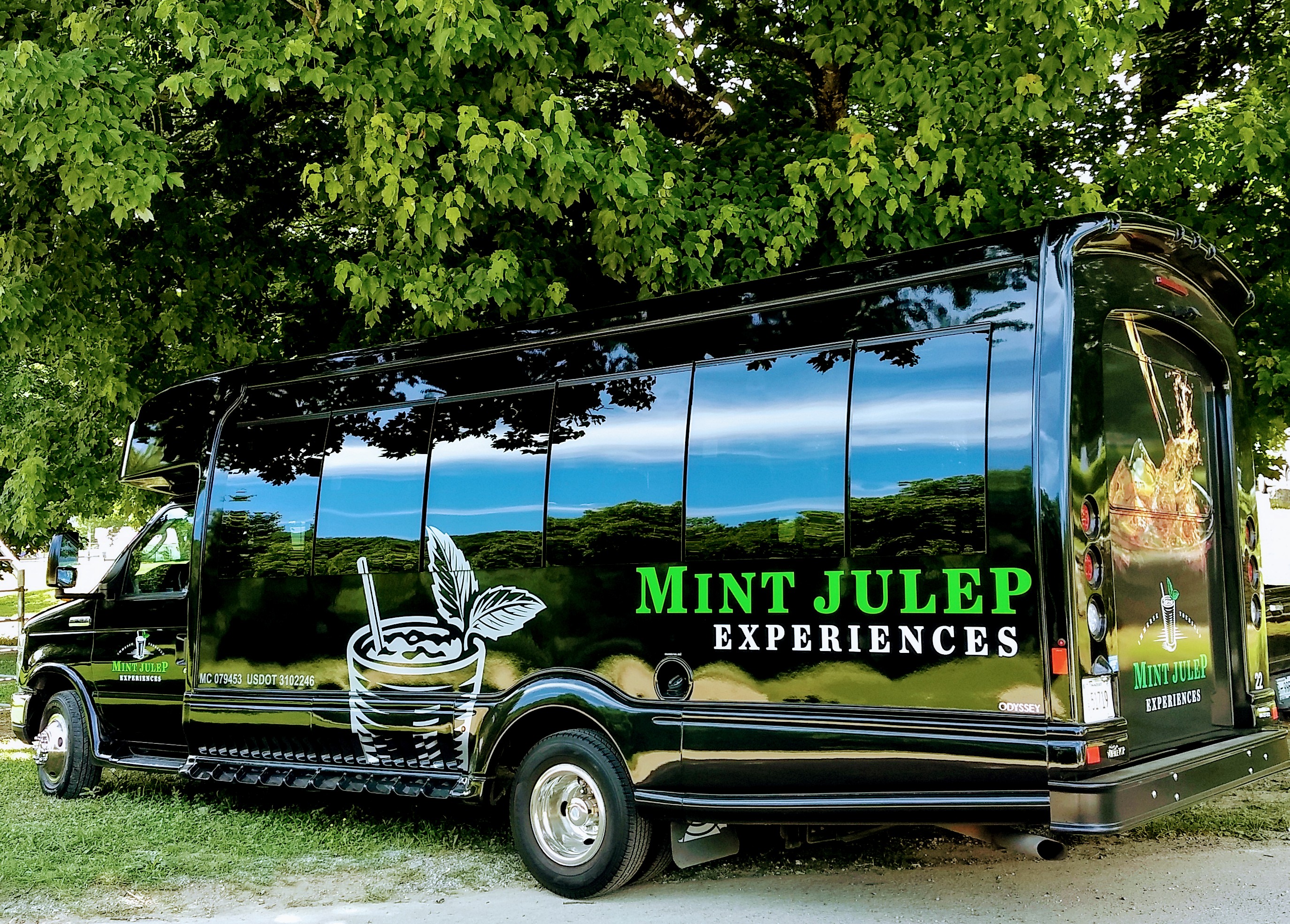
Mint Julep Experiences - Louisville, West Liberty Street, Louisville, KY, USA
Distance: 7.69 mi (straight line)
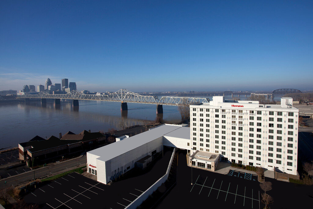
Sheraton Louisville Riverside Hotel, West Riverside Drive, Jeffersonville, IN, USA
Distance: 7.77 mi (straight line)
Our bi-weekly newsletter provides news, history, and information for those interested in traveling along along the Lewis & Clark Trail.


