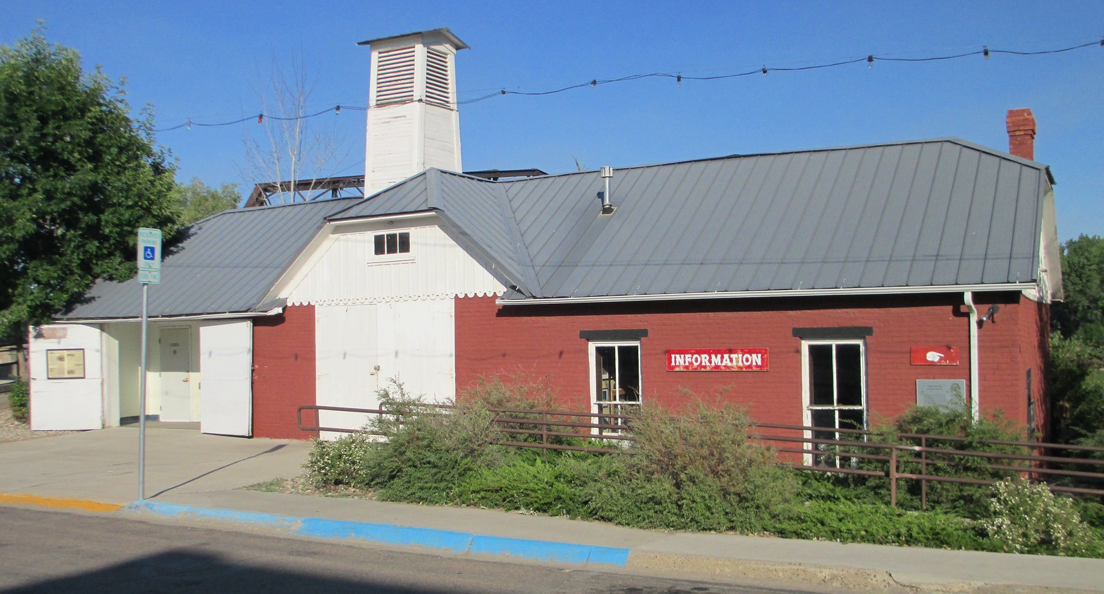
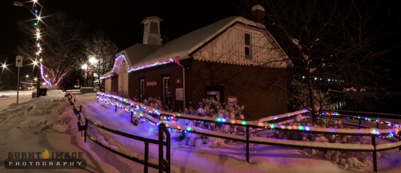
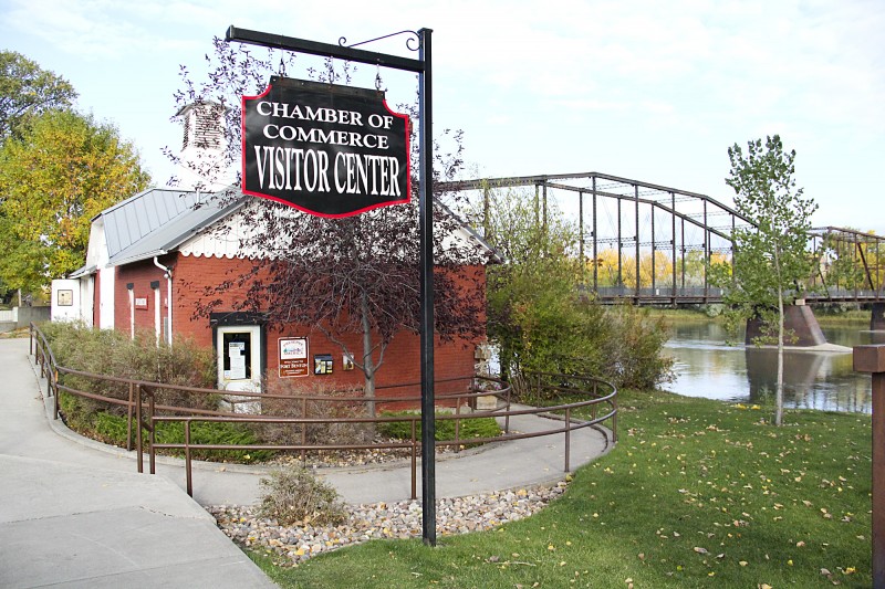
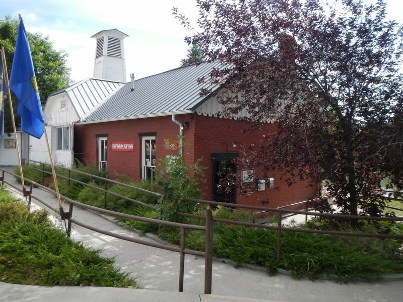
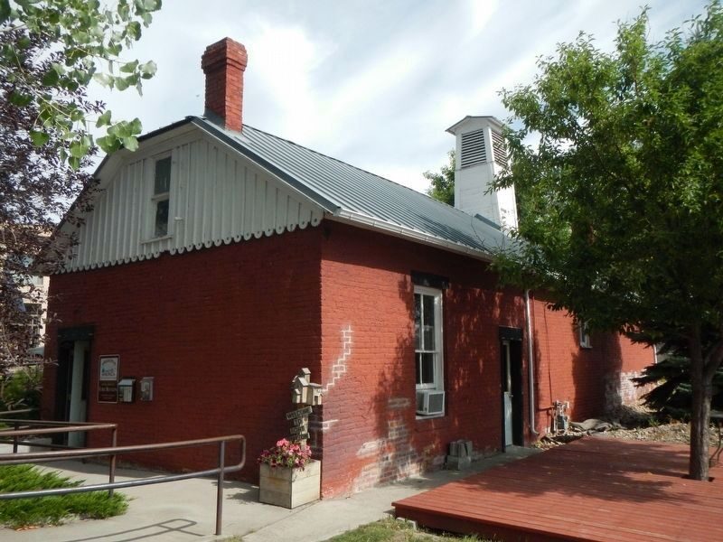
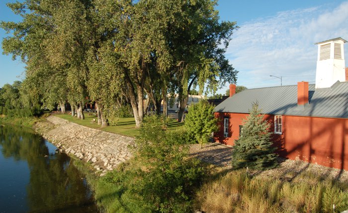
“Fire” was a cry dreaded by any Westerner, and early Fort Benton was no exception. Flimsy wooden buildings, haystacks, kerosene lamps, and primitive stoves created major fire hazards. When the city government was organized in 1883, the first steps in fire protection included this structure, built on contract by John Wilton for $1710. Later it doubled as the City Hall until 1966.
Chouteau Engine Company No. 1 organized, held practices, fireman’s balls, and waited for the pumper that had been brought to Cow Island by steamboat. When freighters got around to bringing it to Fort Benton, the paint was peeling and a wheel was missing. Nevertheless, it was Fort Benton’s pride.
The firemen repaired it, sat it on Mike Lynch’s ferry boat, and tried to pump a stream of water over the rooster weathervane on the old Record Building a block away. It served faithfully, going second-hand to Lewistown and eventually returning to Fort Benton for restoration in 1988.
(Taken from information sign at the Old Fire House).
The building is closed, but you can still see this historic structure.
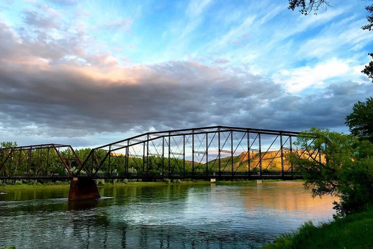
Old Fort Benton Bridge, 15th Street, Fort Benton, MT, USA
Distance: 0.06 mi (straight line)
1600 Front Street, Fort Benton, MT, USA
Distance: 0.13 mi (straight line)
1513 Washington St, Fort Benton, MT 59442
Distance: 0.20 mi (straight line)
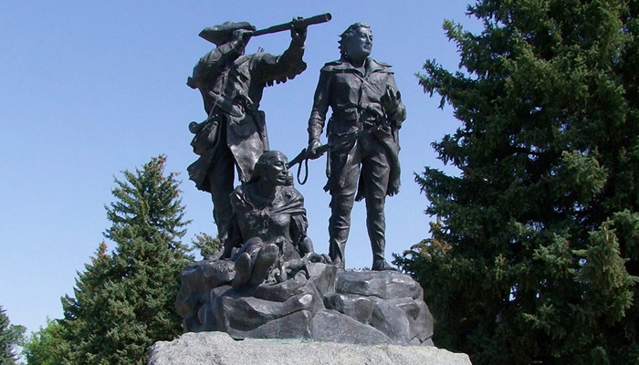
Lewis and Clark Memorial, Front Street, Fort Benton, MT, USA
Distance: 0.23 mi (straight line)
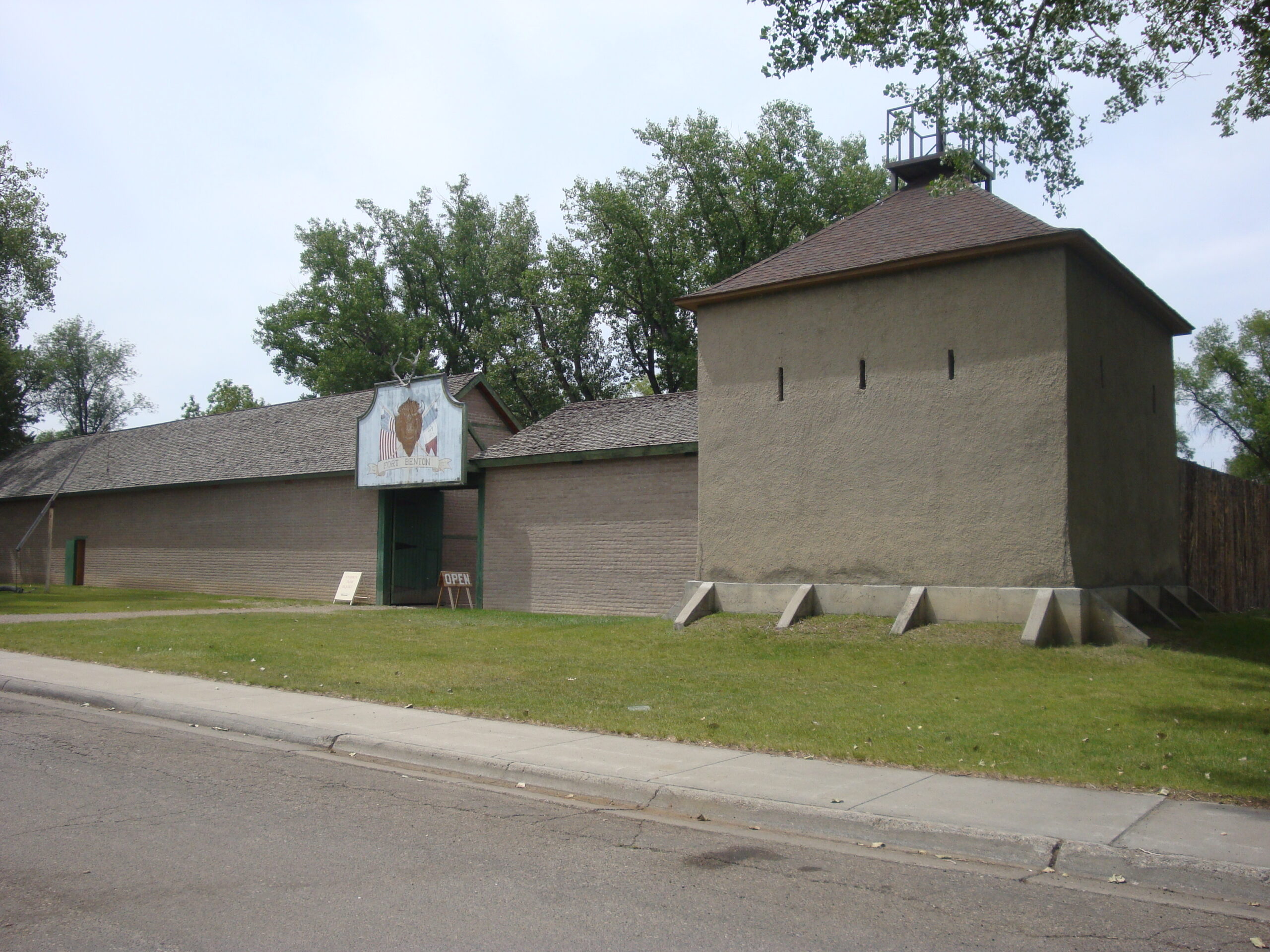
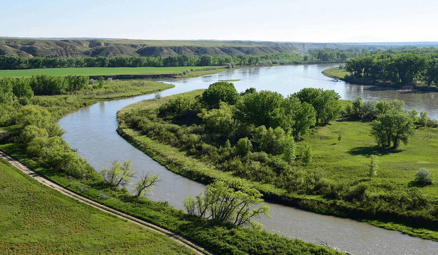
Old Fort Benton, River Street, Fort Benton, Montana 59442, USA
Distance: 0.32 mi (straight line)
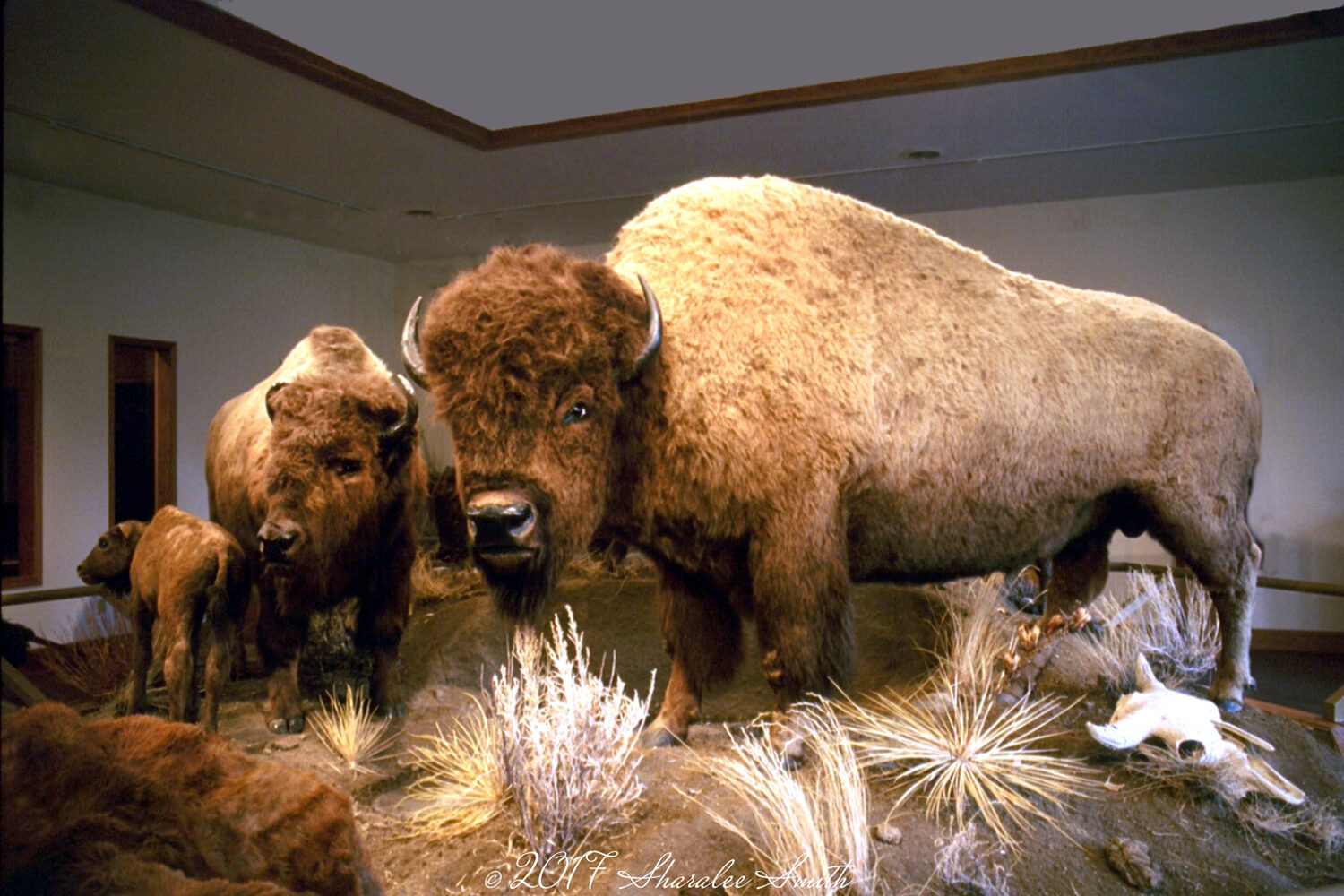
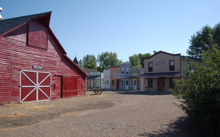
Museum of the Northern Great Plains, 20th Street, Fort Benton, MT, USA
Distance: 0.50 mi (straight line)
1205 20th Street, Fort Benton, Montana, USA
Distance: 0.50 mi (straight line)
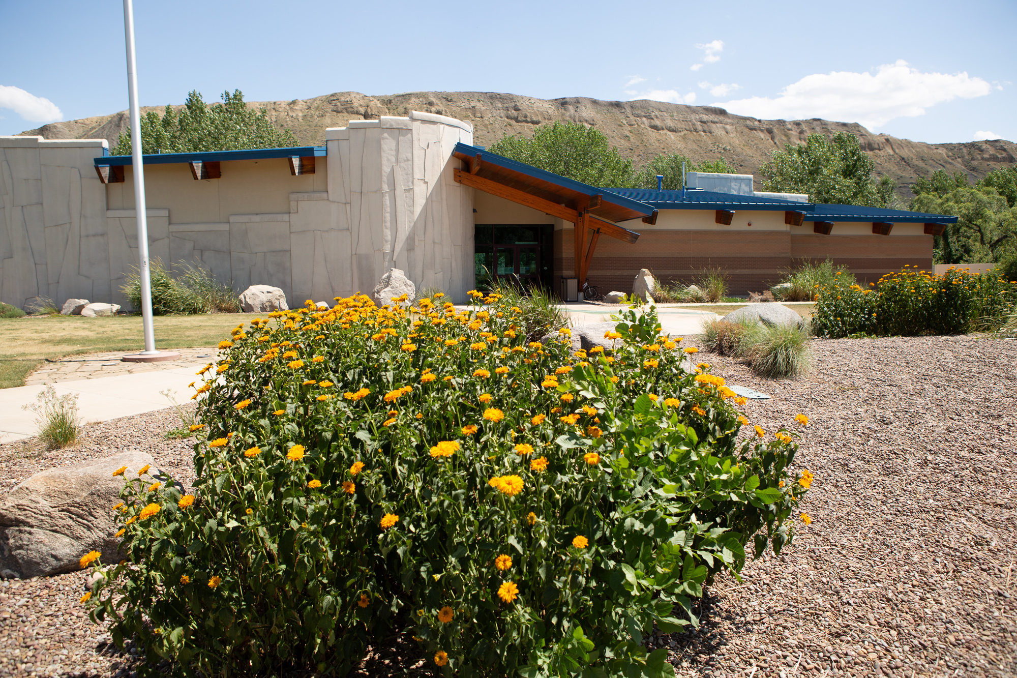
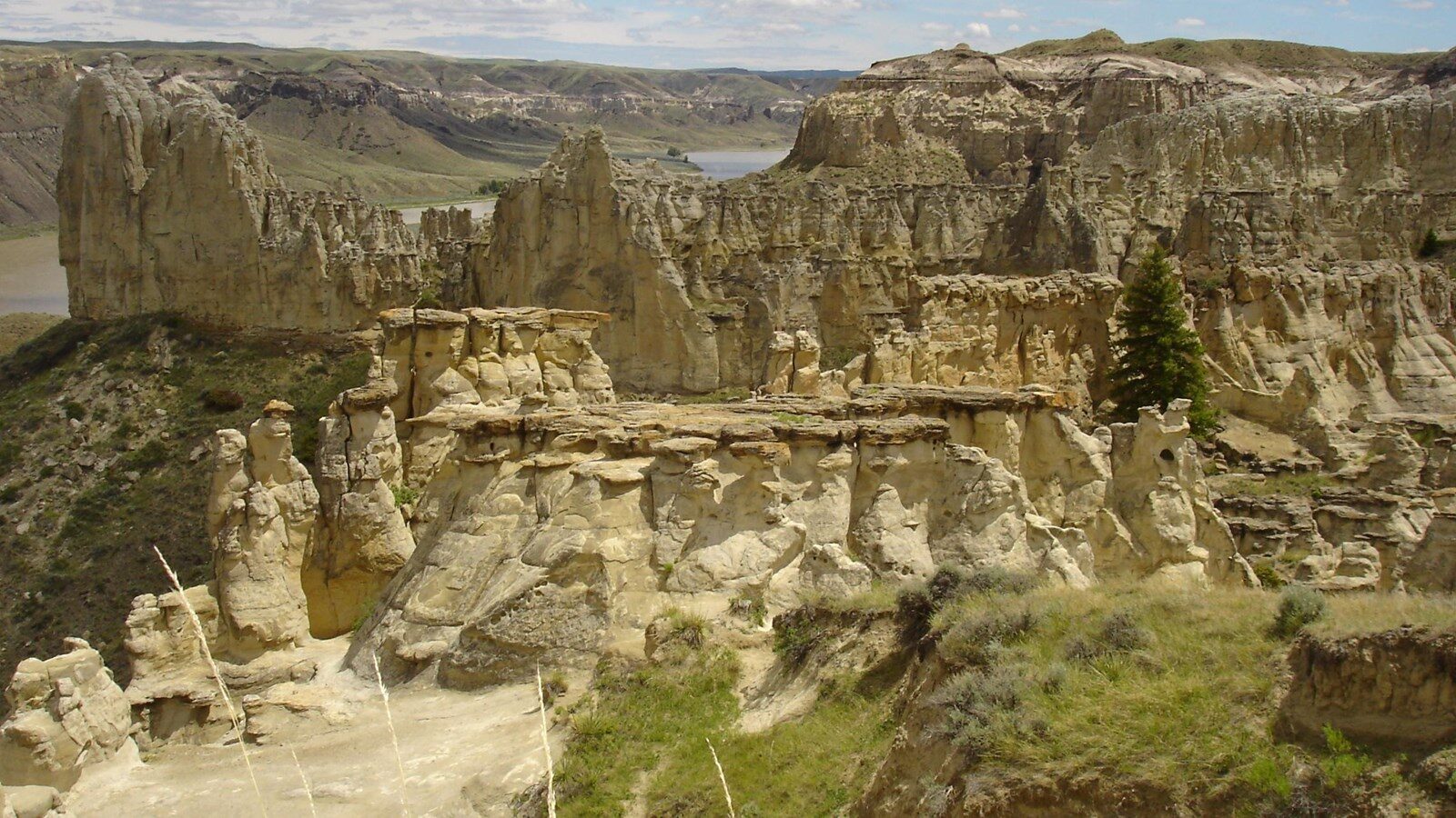
Missouri Breaks Interpretive Center, 7th Street, Fort Benton, MT, USA
Distance: 0.56 mi (straight line)
Upper Missouri River Guides, Main Street, Fort Benton, MT, USA
Distance: 0.59 mi (straight line)
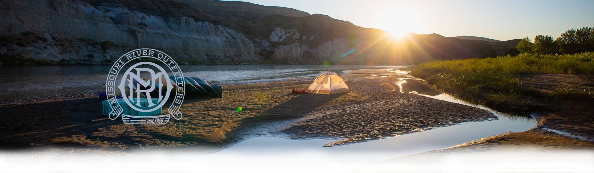
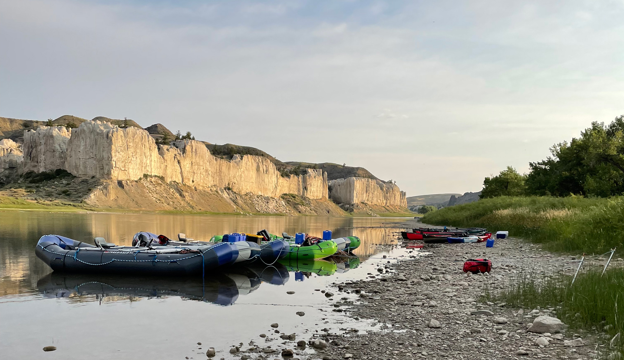
Missouri River Outfitters, State Highway 387, Fort Benton, MT, USA
Distance: 1.15 mi (straight line)
38870 US-87, Fort Benton, MT 59442, USA
Distance: 1.95 mi (straight line)
Decision Point, Loma Ferry Road, Loma, MT, USA
Distance: 10.79 mi (straight line)
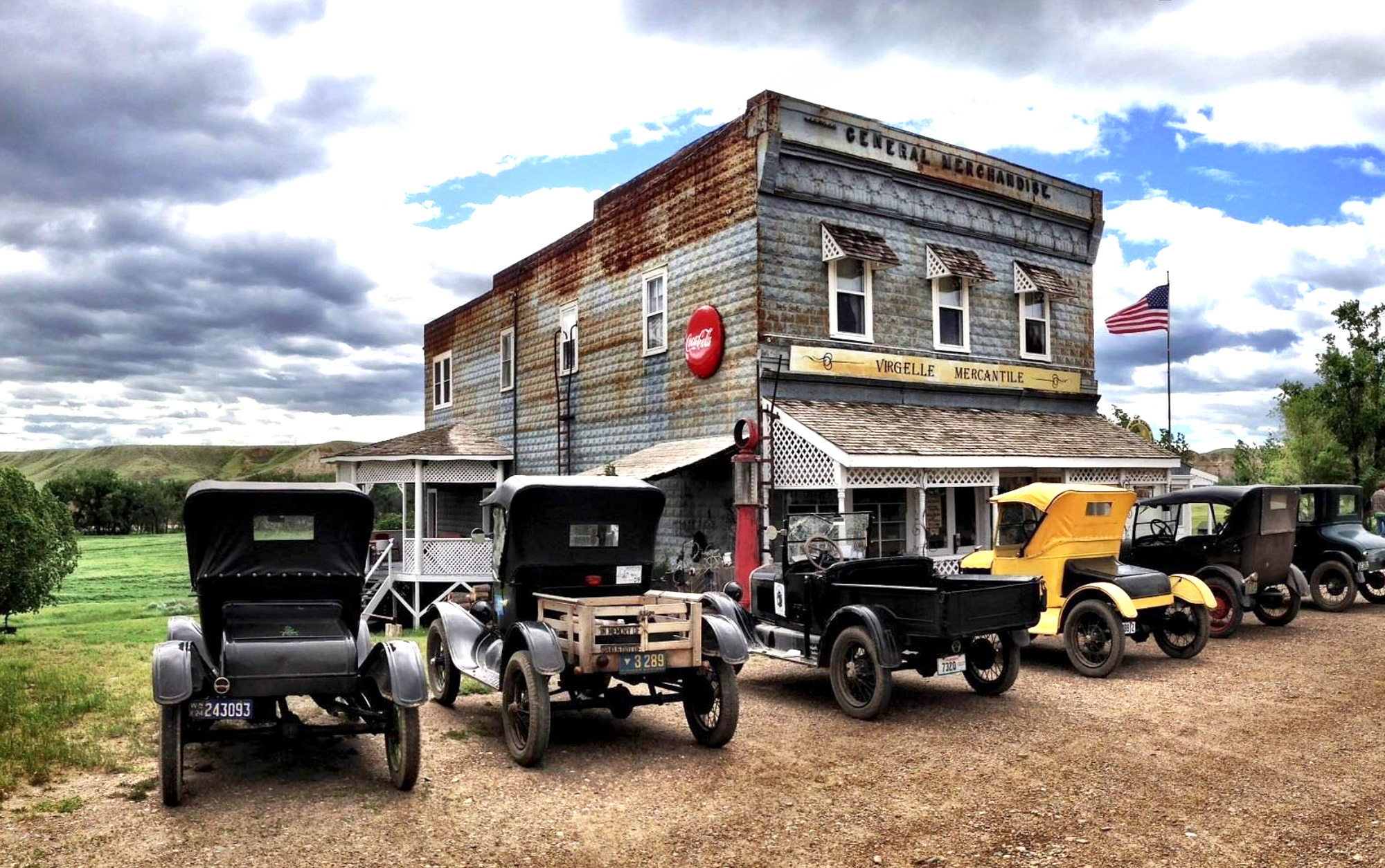
Virgelle Mercantile, Virgelle Ferry Road North, Loma, MT, USA
Distance: 23.71 mi (straight line)

Lower Portage Staging Area, Salem, MT, USA
Distance: 23.85 mi (straight line)
30 Morony Loop, Highwood, MT 59450, USA
Distance: 24.60 mi (straight line)
Sulphur Springs Trailhead, Great Falls, MT, USA
Distance: 24.60 mi (straight line)
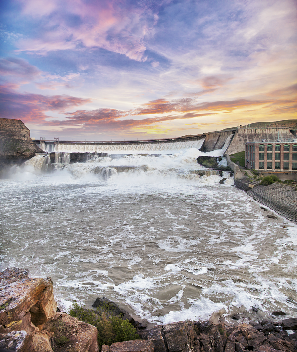
160 Ryan Dam Rd, Great Falls, MT 59404, USA
Distance: 27.17 mi (straight line)
Our bi-weekly newsletter provides news, history, and information for those interested in traveling along along the Lewis & Clark Trail.