Eagle Bluffs Conservation Area
Columbia Missouri 65203
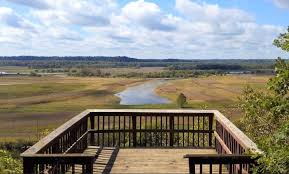
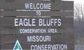
Eagle Bluffs Conservation Area is in Boone County at the southwest edge of Columbia, near McBaine. The Missouri River and Perche Creek provide over 10 miles of stream frontage on Eagle Bluffs. Through the years, the Missouri River has changed its course many times. The town of Providence, across Perche Creek from Eagle Bluffs, was once on the bank of the Missouri, before the river changed its course in the late 1800’s. Providence is now almost a mile north of the river. The Missouri once flowed through what is now Eagle Bluffs and sunk the steamship Plowboy, which is now believed to be buried under sand and silt on the area. The Conservation Department purchased and developed this 4,431-acre area to help offset the loss of nearly 90 percent of Missouri’s historical wetlands. The area’s wetlands have been restored by creating 17 shallow pools. The wetland management infrastructure includes 30 miles of levees, 61 water control structures, river water supply pumps, a water supply junction box, pump-out facilities, and a pipeline linking the area to the City of Columbia’s wastewater treatment wetlands. The City of Columbia and the Department of Conservation entered into a cooperative agreement that allows the Department to use treated wastewater from the city as a primary water source for the wetlands. The city’s recycled wastewater provides a near constant source of water, but river pumps can supplement the water supply when the area’s needs exceed the flow from the city. The area’s 17 wetland pools allow the flooding of 1,100 acres of moist soil marshes, emergent marshes, and crop fields. These marshes provide year-round habitat for migrating and wintering birds and permanent wildlife and excellent wildlife viewing and hunting opportunities. In the fall, the area’s beauty is enhanced by colorful foliage along the bordering limestone bluffs. The KATY Trail State Park passes through a portion of the area and adds to the public’s use and enjoyment of Eagle Bluffs Conservation Area. The parking lot located on Warren School Road provides walking access to the area’s scenic overlook.

The Burr Oak Tree, Columbia, MO, USA
Distance: 3.57 mi (straight line)
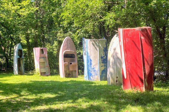

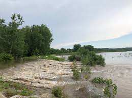
Cooper's Landing Riverside Resort & Marina, Smith Hatchery Road, Columbia, MO, USA
Distance: 3.79 mi (straight line)
5901 Missouri 163, Columbia, MO 65203, USA
Distance: 6.03 mi (straight line)
7650 MO-163, Columbia, MO, USA
Distance: 6.54 mi (straight line)

212 E Green Meadows Rd ste. 9, Columbia, MO, USA
Distance: 6.89 mi (straight line)

600 E Stadium Blvd, Columbia, MO 65211, USA
Distance: 8.03 mi (straight line)
Outdoor Experiences Fun and Sports Food and Drinks Festivals and Events

Shelter Gardens, West Broadway, Columbia, MO, USA
Distance: 8.03 mi (straight line)
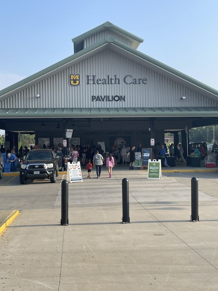
Columbia Farmers Market, West Ash Street, Columbia, MO, USA
Distance: 8.25 mi (straight line)
Festivals and Events Food and Drinks Galleries and Venues Outdoor Experiences Shopping
3801 Ponderosa St, Columbia, MO 65201, USA
Distance: 8.50 mi (straight line)

1020 Lowry St, Columbia, MO 65201, USA
Distance: 8.66 mi (straight line)
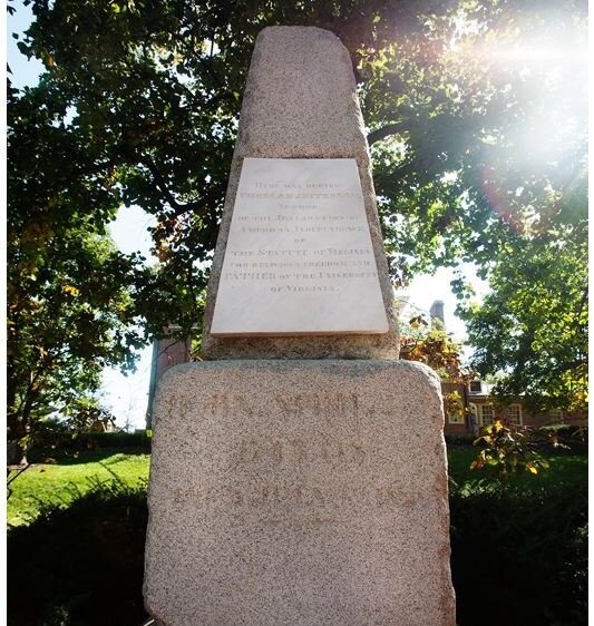
Original Grave Marker of Thomas Jefferson, South 9th Street, Columbia, MO, USA
Distance: 8.66 mi (straight line)

605 Elm Street, Columbia, MO, USA
Distance: 8.71 mi (straight line)
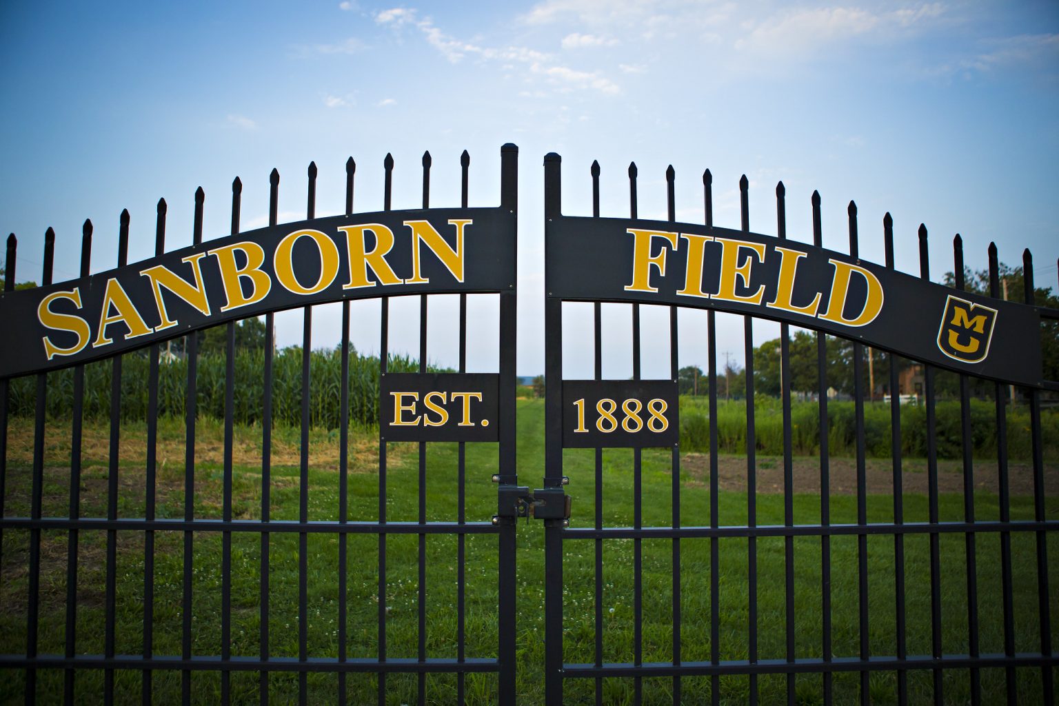
Sanborn Field, Bouchelle Avenue, Columbia, MO, USA
Distance: 8.78 mi (straight line)
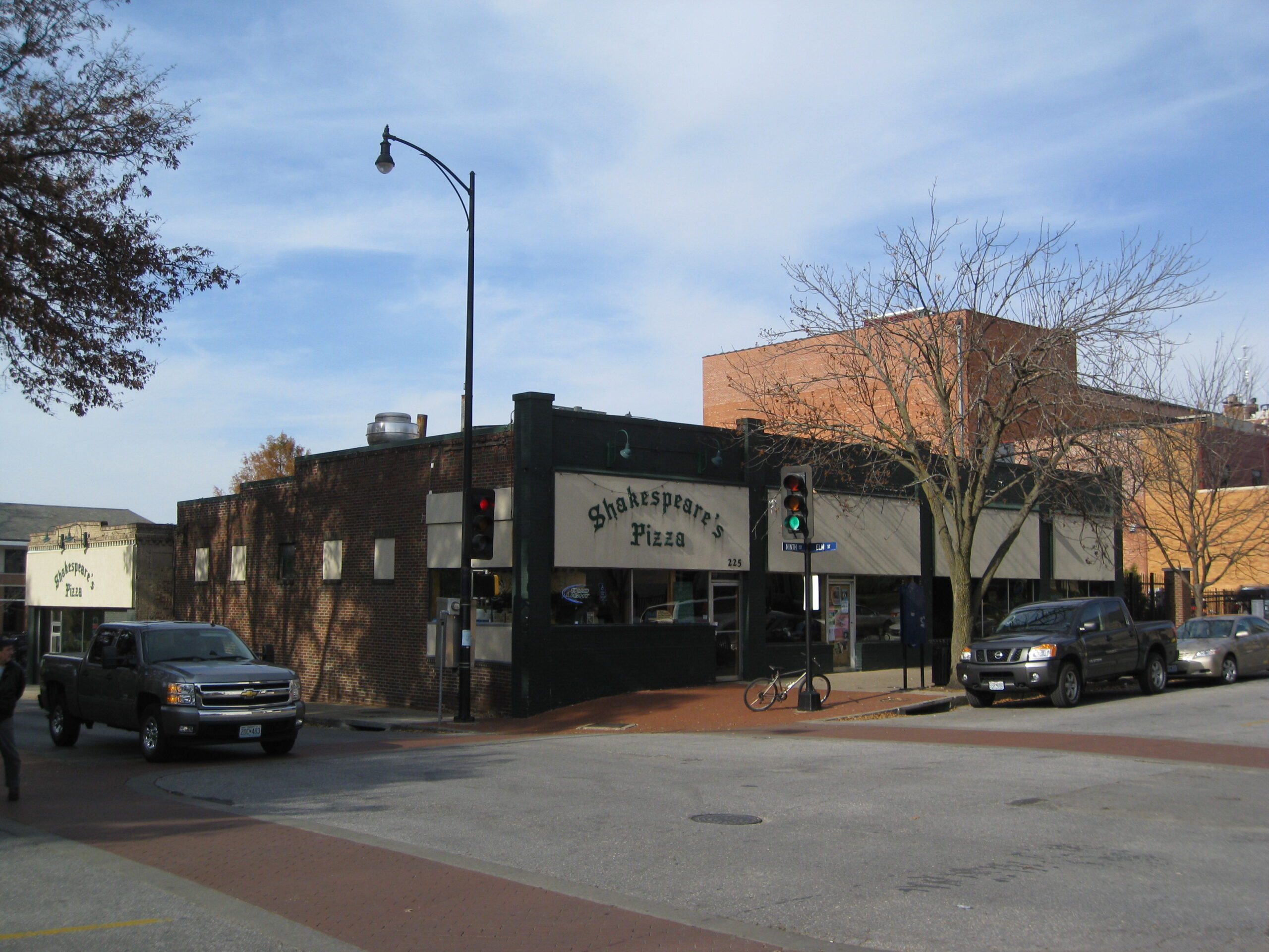
225 S 9th St, Columbia, MO 65201, USA
Distance: 8.80 mi (straight line)
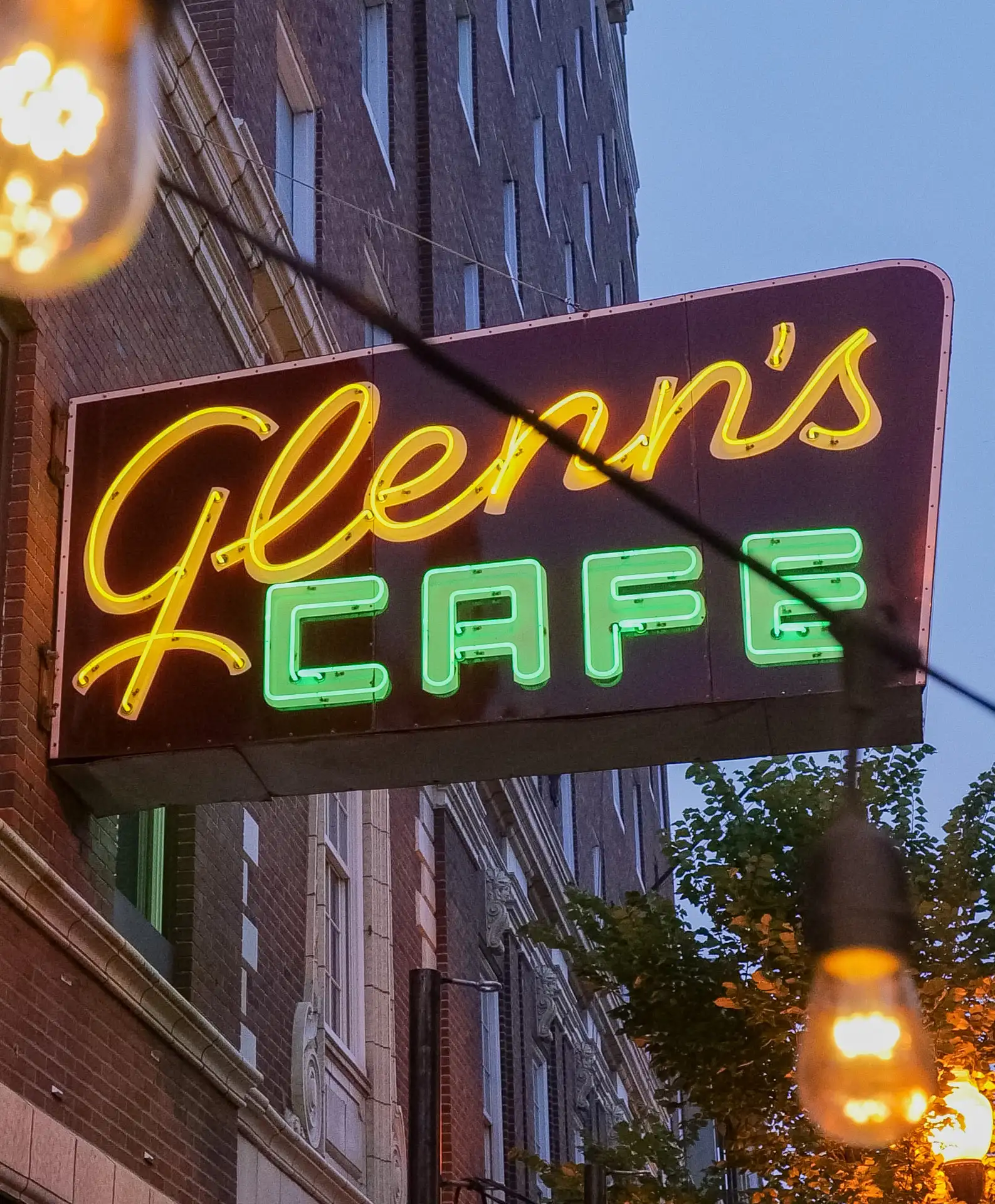
Glenn's Cafe, South 8th Street, Columbia, MO, USA
Distance: 8.88 mi (straight line)
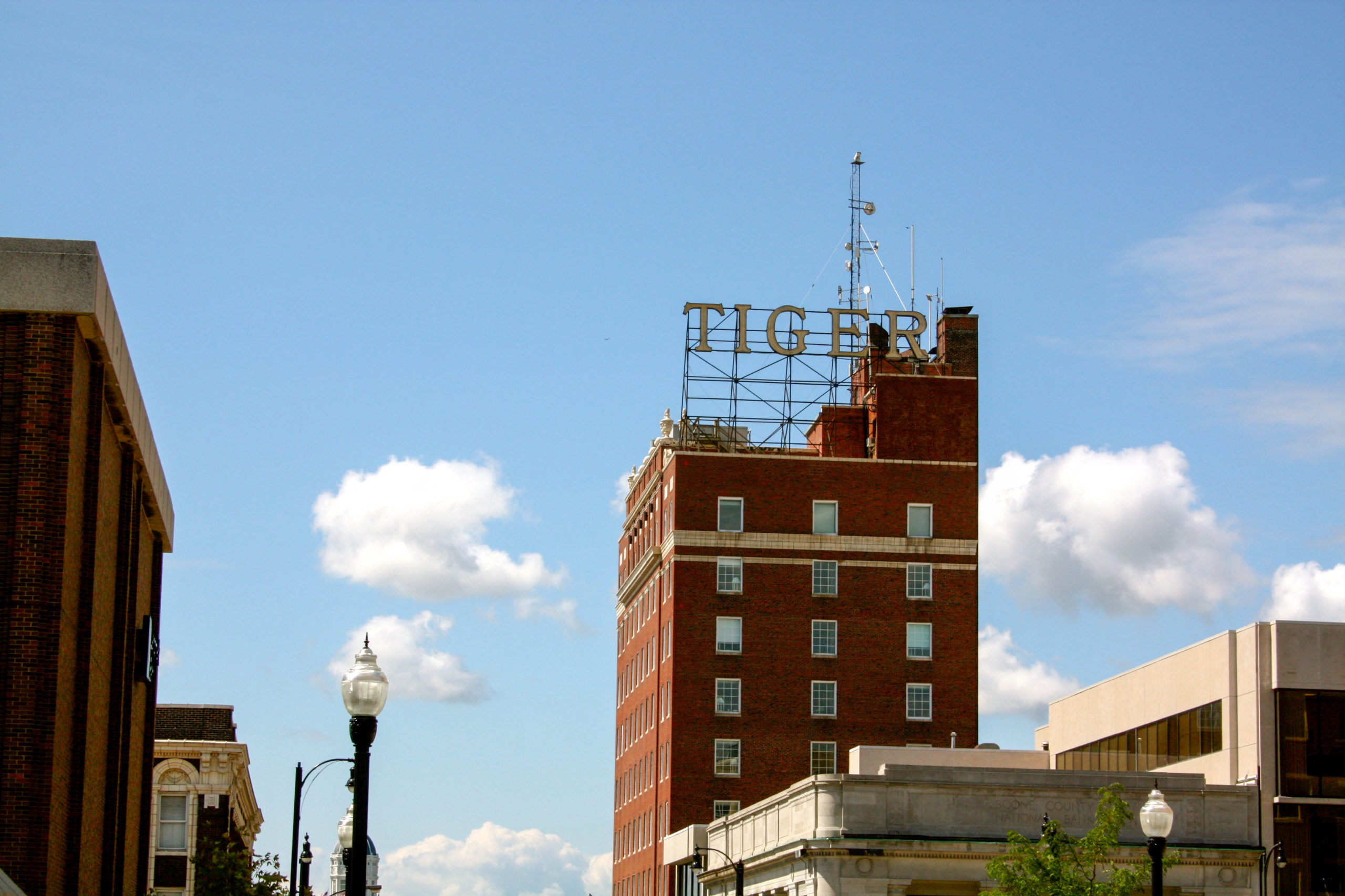
voco The Tiger Hotel, South 8th Street, Columbia, MO, USA
Distance: 8.89 mi (straight line)

Booche’s, South 9th Street, Columbia, MO, USA
Distance: 8.90 mi (straight line)
Our bi-weekly newsletter provides news, history, and information for those interested in traveling along along the Lewis & Clark Trail.


