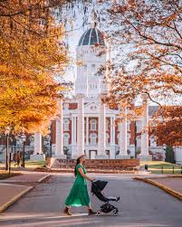
Columbia, Missouri
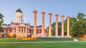
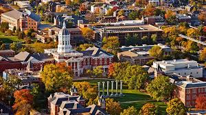
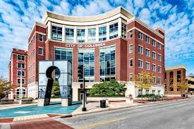
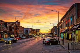
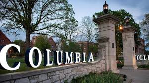
Columbia was founded as Smithton in 1819 on a site about a half-mile west of the present Boone County Courthouse on Walnut St. This site proved too far from needed water supplies, so in 1821 the town moved east, across Flat Branch Creek. Renamed Columbia, it became the Boone County seat on April 7, 1821. The city was incorporated in November 1826. Today, the city covers about 59 square miles (and appears to be expanding all the time) and in 2003 had a population of nearly 90,000. (Boone County’s population is around 142,000.) Many of the city’s early citizens’ names will be familiar to you from street and landmark monikers (“Blind” Boone, Odon Guitar, etc.). As anyone who has ever gone for a jog in Columbia will tell you, the place is hilly. From its cradle between Flat Branch and Hinkson Creeks, the city undulates west through what seem like acres of housing and commercial developments. Due to its location just north of the Ozark Plateau and on the eastern and southern edge of the great prairies of the American West, Columbia’s geography varies from the cave-pocked terrain of Rock Bridge State Park south of town to flat fields to the north. Tributaries of the two major creeks wind their way through town. The Missouri River is just 12 miles west, forming the western and part of the southern borders of Boone County. The University of Missouri is Columbia’s largest employer. Nearly 12,000 people work for MU and another 4,500 for University Hospitals and Clinics. “Collegetown USA” is one of Columbia’s more persistent nicknames; not only MU but also Stephens College (once a nationally-famous women’s college now known for its fine arts programs) and Columbia College, a community college, are found here. But the city’s economic and commercial life is not limited to its campuses. The manufacturing, insurance and medical sectors are also important. Other big employers are Columbia Public Schools, Boone Hospital Center, Shelter Insurance Companies, State Farm Insurance Companies and others. Also, small single-owner boutiques and restaurants thrive in a downtown that, unlike those of less vibrant cities, is very much alive. The median household income in Columbia is $33,729; Boone County’s is $37,485 (perhaps because wealthier residents tend to work in Columbia but live in the county).
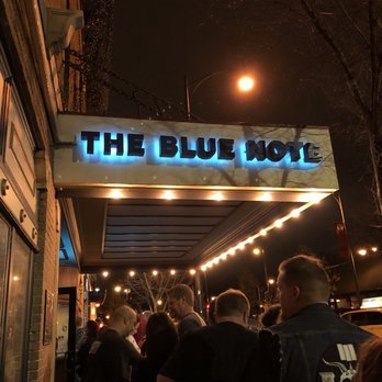
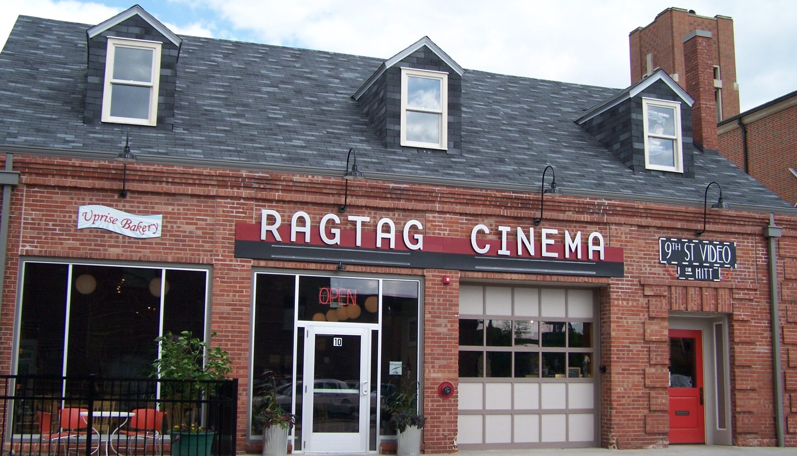
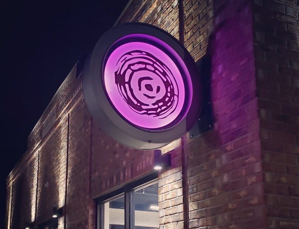
The Blue Note, North 9th Street, Columbia, MO, USA
Distance: 0.05 mi (straight line)
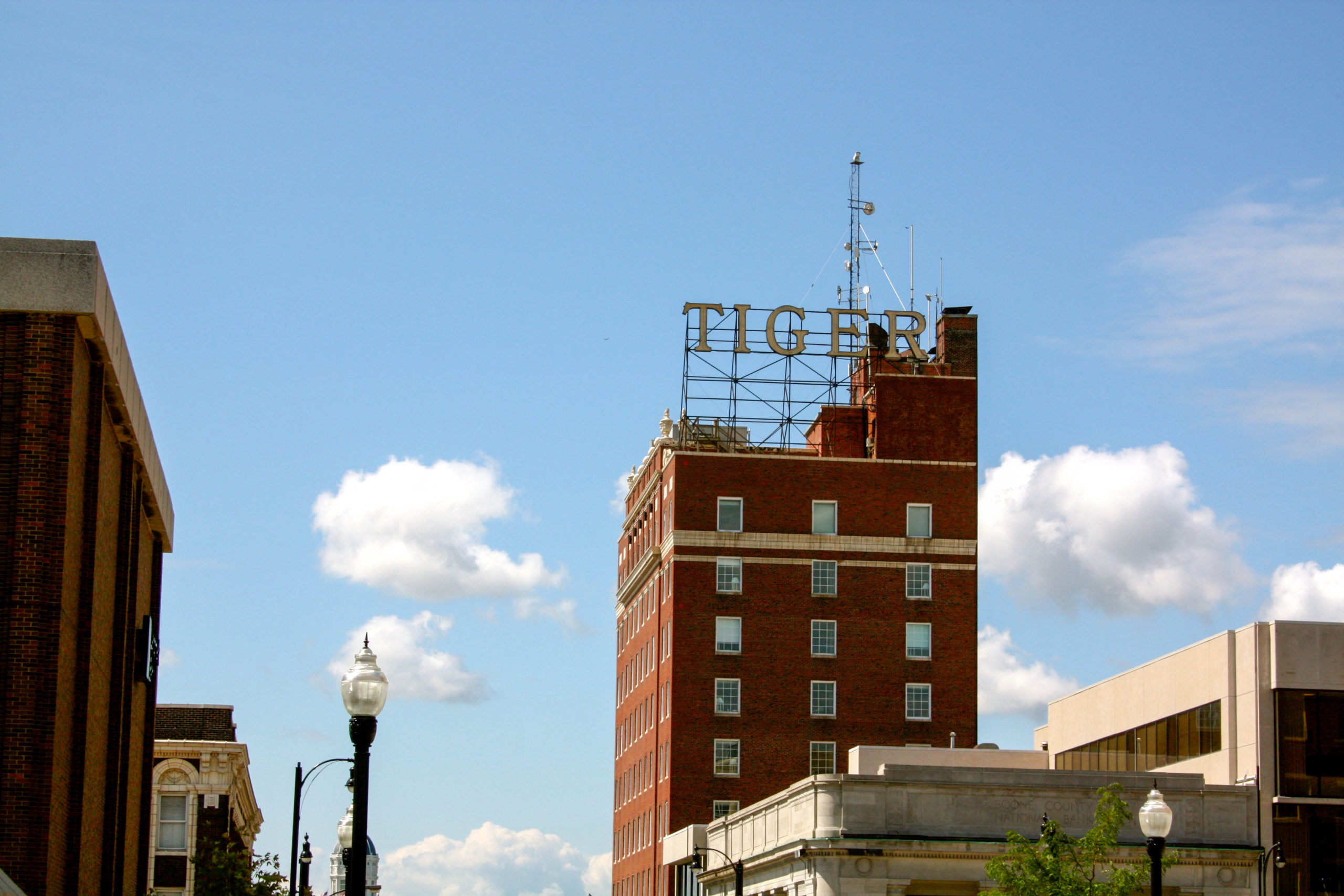
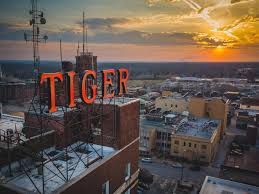
voco The Tiger Hotel, South 8th Street, Columbia, MO, USA
Distance: 0.08 mi (straight line)
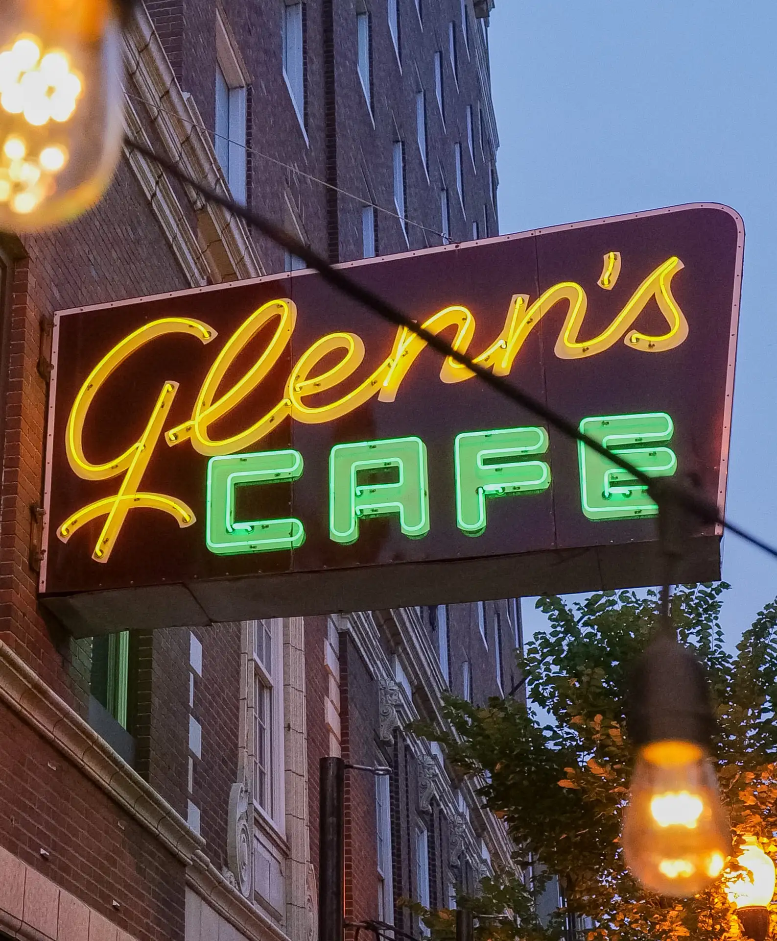
Glenn's Cafe, South 8th Street, Columbia, MO, USA
Distance: 0.09 mi (straight line)
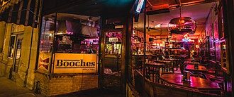
Booche’s, South 9th Street, Columbia, MO, USA
Distance: 0.09 mi (straight line)
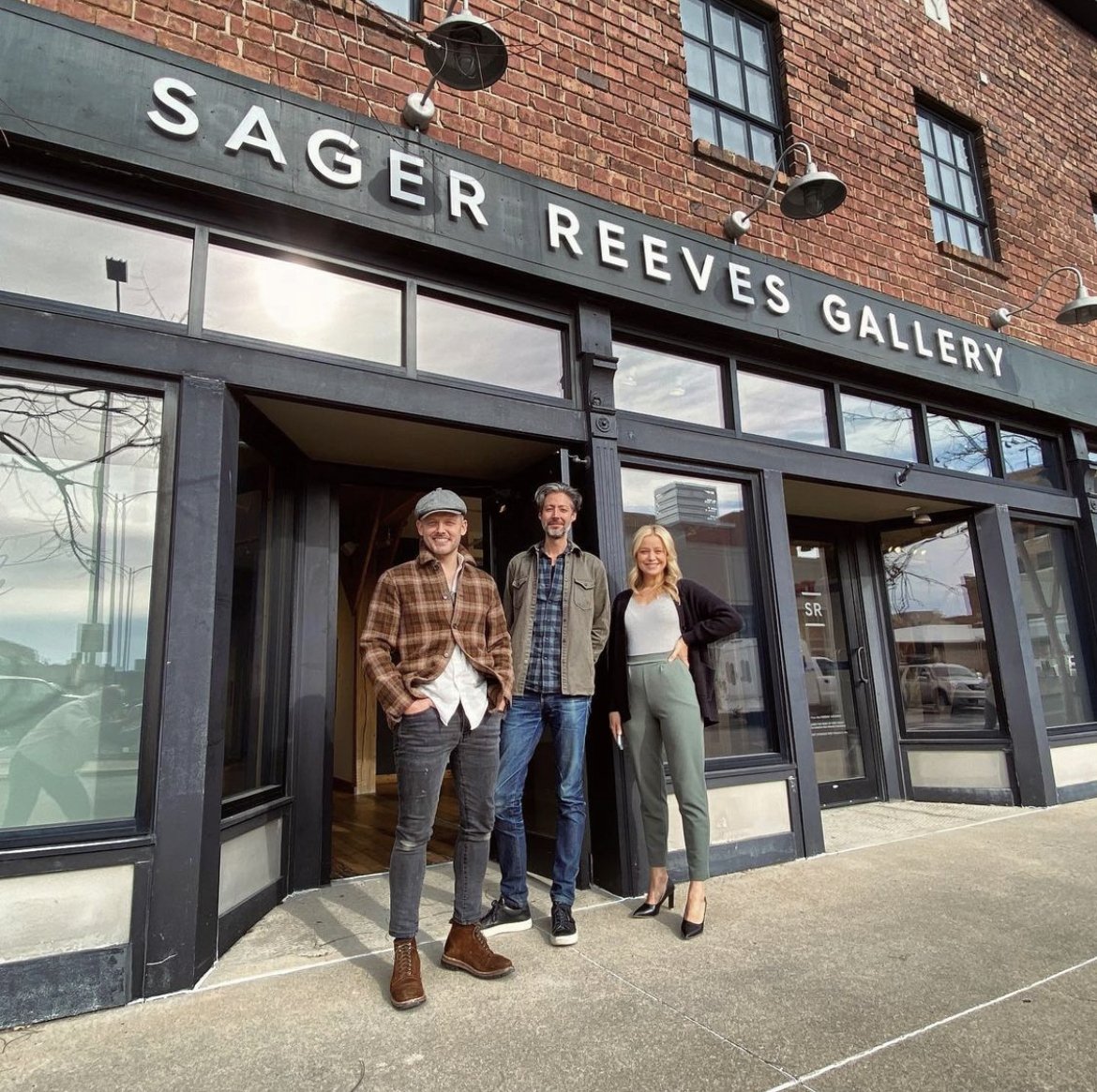
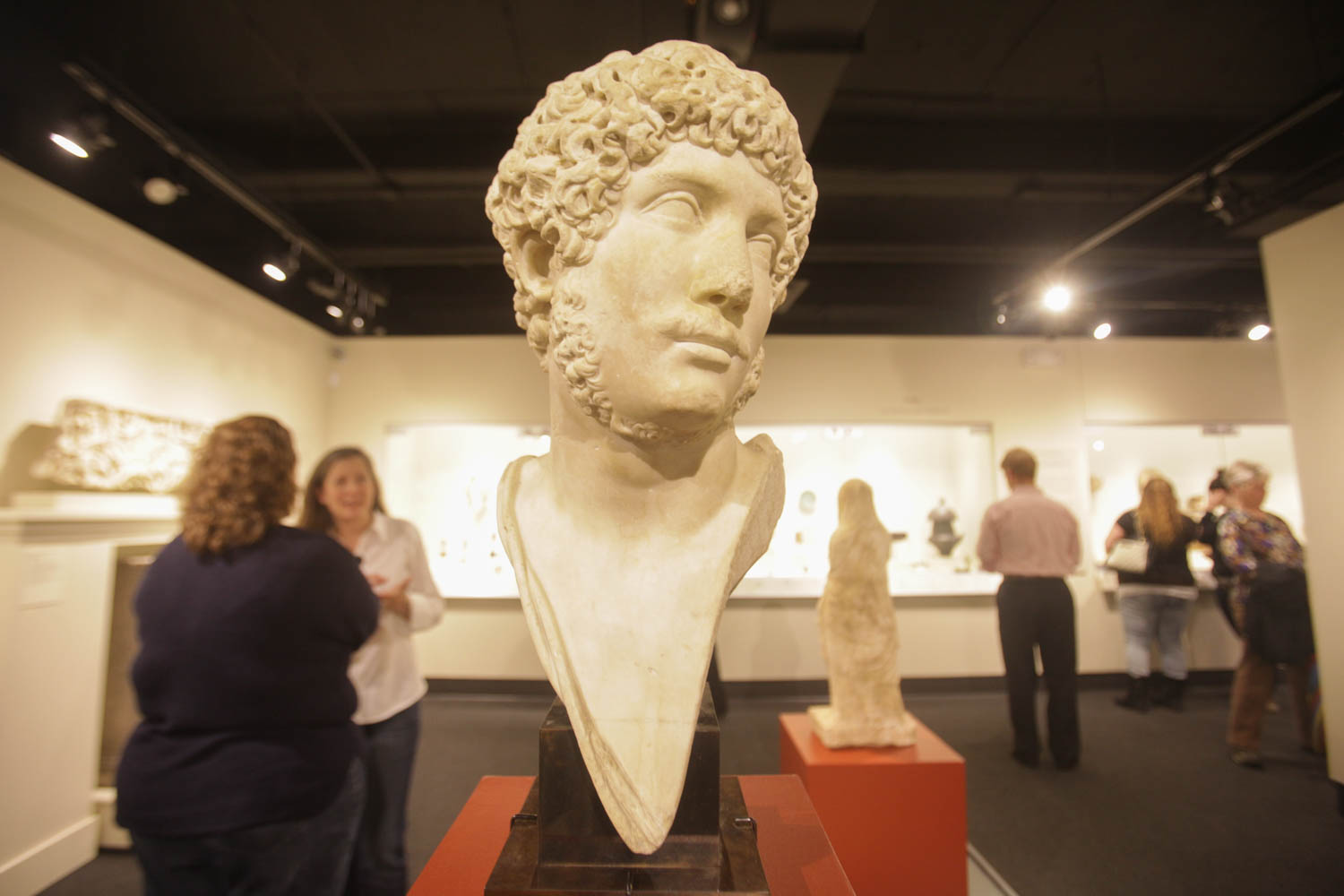
Sager Reeves Gallery, East Walnut Street, Columbia, MO, USA
Distance: 0.14 mi (straight line)
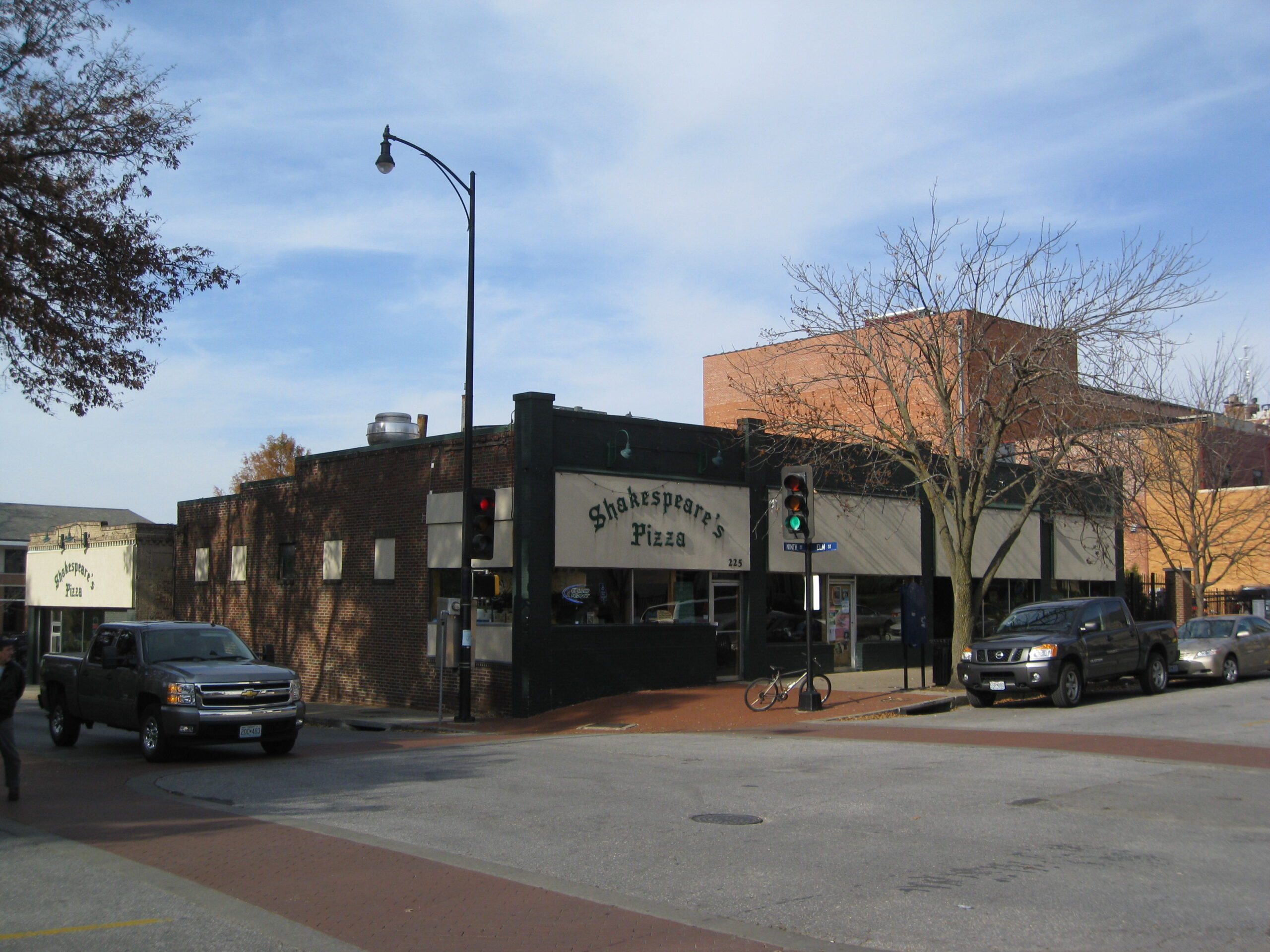
225 S 9th St, Columbia, MO 65201, USA
Distance: 0.20 mi (straight line)
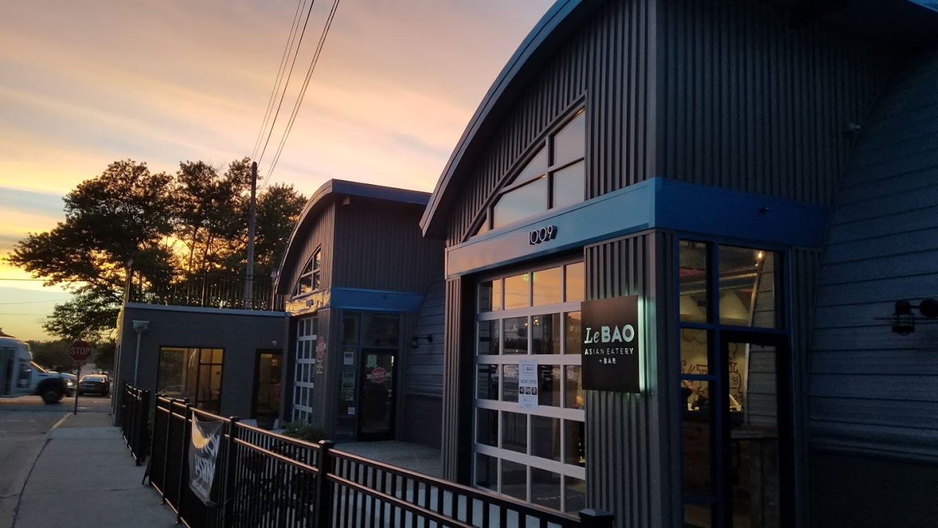
Le Bao Asian Eatery, Park Avenue, Columbia, MO, USA
Distance: 0.23 mi (straight line)

605 Elm Street, Columbia, MO, USA
Distance: 0.25 mi (straight line)
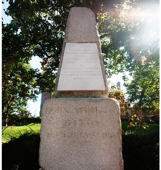
Original Grave Marker of Thomas Jefferson, South 9th Street, Columbia, MO, USA
Distance: 0.37 mi (straight line)
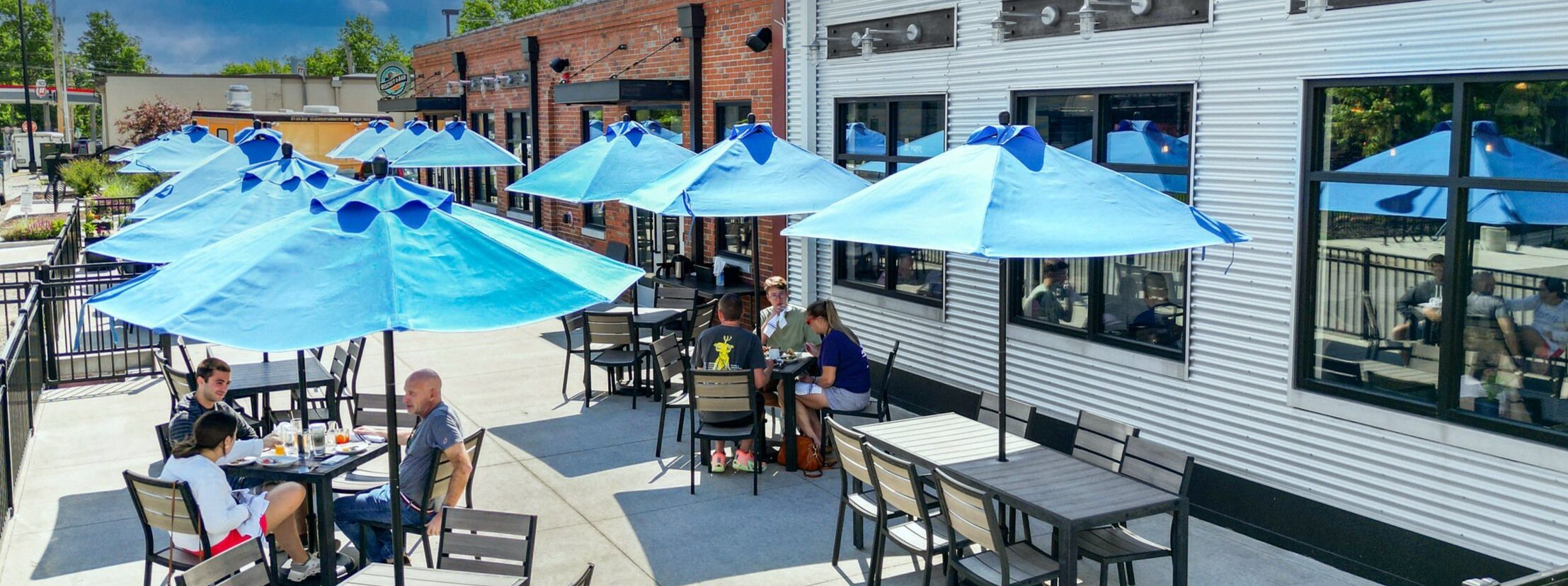
Ozark Mountain Biscuit & Bar, Hinkson Avenue, Columbia, MO, USA
Distance: 0.46 mi (straight line)
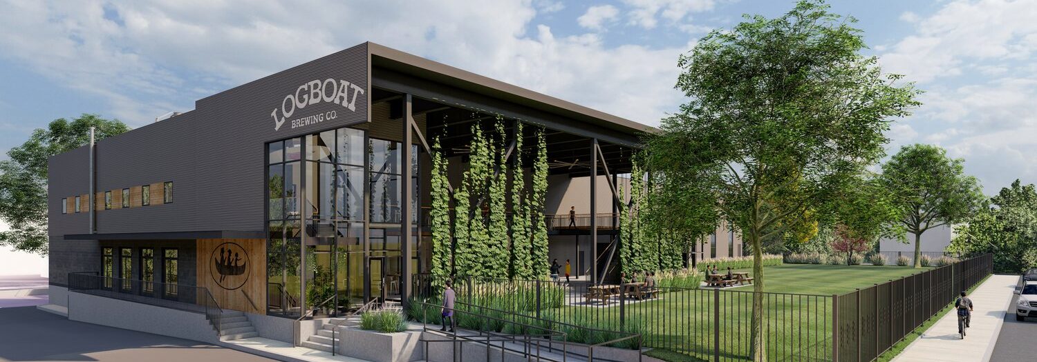
Logboat Brewing Company, Fay Street, Columbia, MO, USA
Distance: 0.49 mi (straight line)
1020 Lowry St, Columbia, MO 65201, USA
Distance: 0.49 mi (straight line)
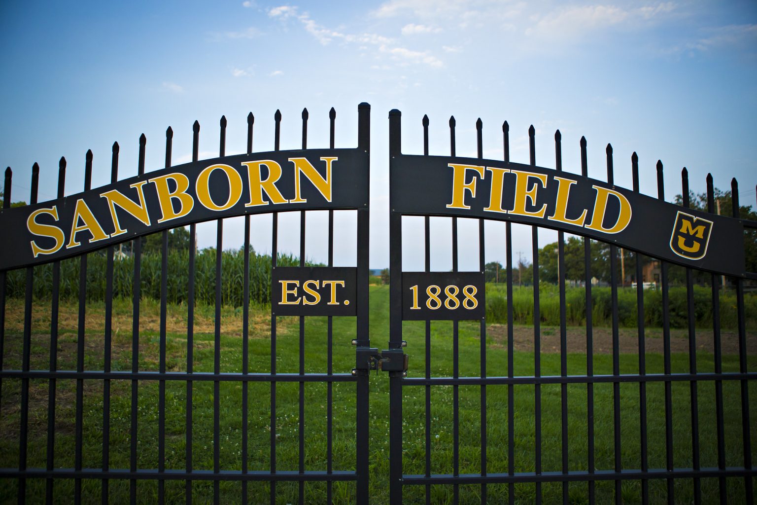
Sanborn Field, Bouchelle Avenue, Columbia, MO, USA
Distance: 0.68 mi (straight line)

600 E Stadium Blvd, Columbia, MO 65211, USA
Distance: 1.05 mi (straight line)
Outdoor Experiences Fun and Sports Food and Drinks Festivals and Events
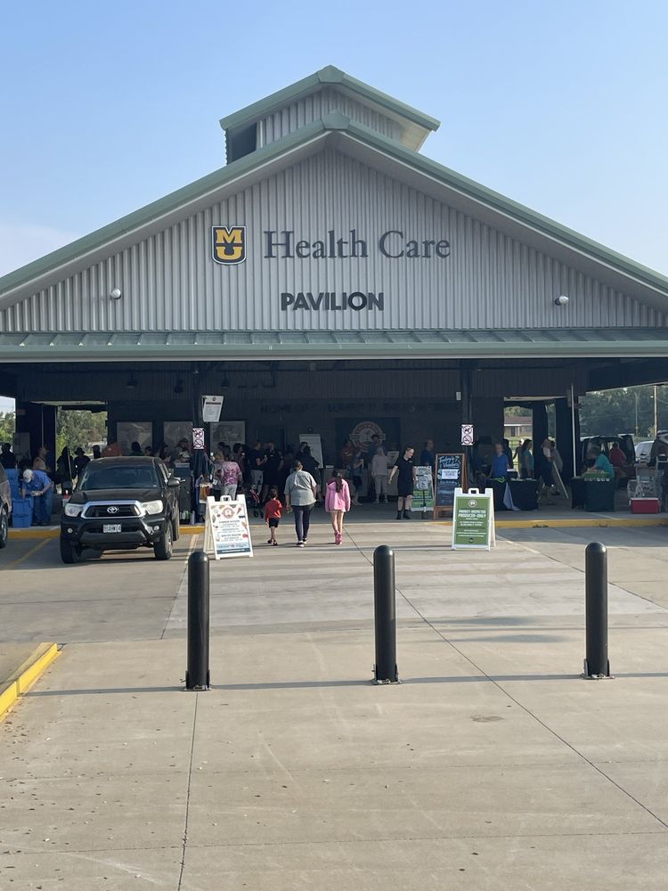
Columbia Farmers Market, West Ash Street, Columbia, MO, USA
Distance: 2.05 mi (straight line)
Festivals and Events Food and Drinks Galleries and Venues Outdoor Experiences Shopping

Shelter Gardens, West Broadway, Columbia, MO, USA
Distance: 2.15 mi (straight line)
Our bi-weekly newsletter provides news, history, and information for those interested in traveling along along the Lewis & Clark Trail.


