Cape Horn Lookout
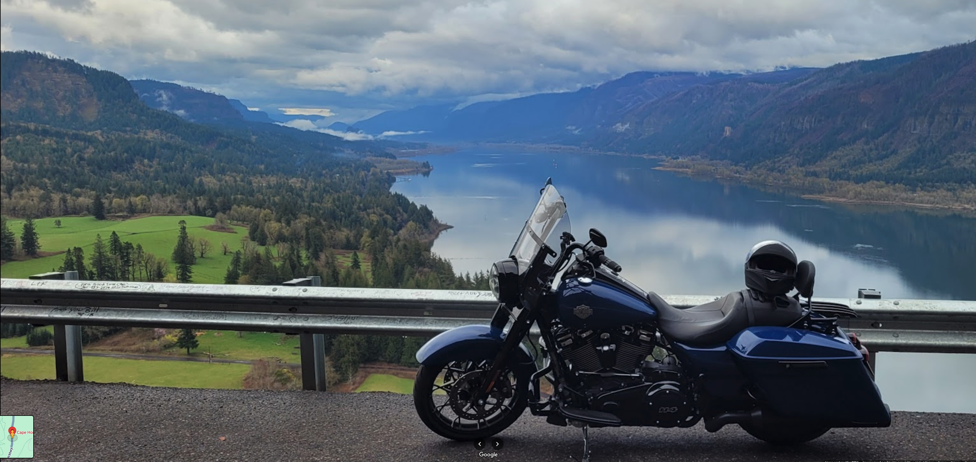
Just about every tourist stops at this pull-out clinging to the sheer cliffs of Cape Horn. From here, you can see far up the river to Beacon Rock and beyond.
A smaller rock closer to Cape Horn was noted by Clark: “passed a rock near the middle of the river, about 100 feet high and 80 feet Diamuter.” On his maps, Clark labeled the rock “Phoca” and “Seal rock”. Sea lions still roost on its lower ledges, and from certain angles, the rock itself looks similar to a sea lion. Clark did not make clear which reason he named the rock.
There’s not a lot of room for parking and pedestrians along the highway, so consider stopping at one of the nearby trailheads. A variety of hikes—short and long—provide a more peaceful way to enjoy the views and waterfalls of Cape Horn. West of the highway viewpoint is Lower Cape Horn Trailhead at 45.5729, -122.2 with access also to Cape Horn Trail which goes up (south) from the highway.
For for, visit at our educational website Discovering Lewis and Clark: Beacon Rock | Seal Rock.
Vista House, Historic Columbia River Highway, Corbett, OR, USA
Distance: 3.49 mi (straight line)
Museums and Interpretive Centers Viewpoints
View Listing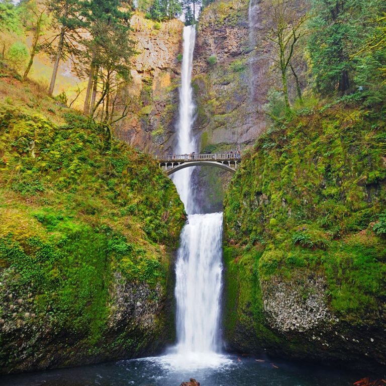
Multnomah Falls Lodge, Historic Columbia River Highway, Bridal Veil, OR, USA
Distance: 3.75 mi (straight line)
Outdoor Experiences Viewpoints Walks and Hikes
View Listing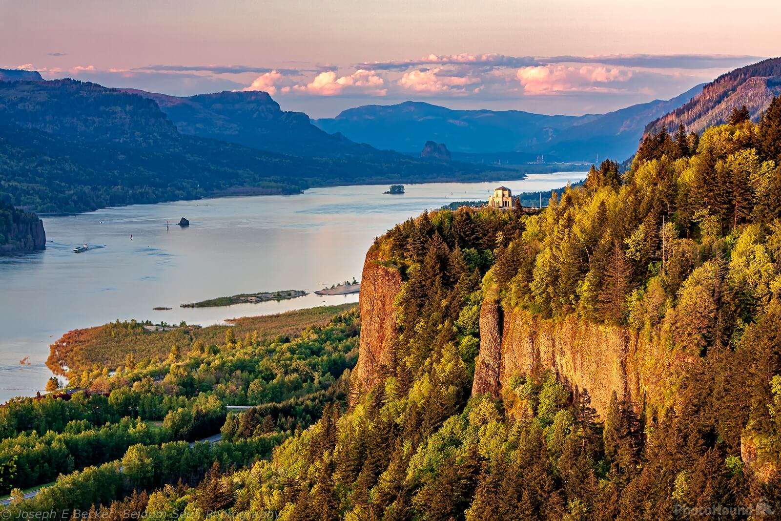
Portland Women's Forum State Scenic Viewpoint, Historic Columbia River Highway, Corbett, OR, USA
Distance: 4.32 mi (straight line)
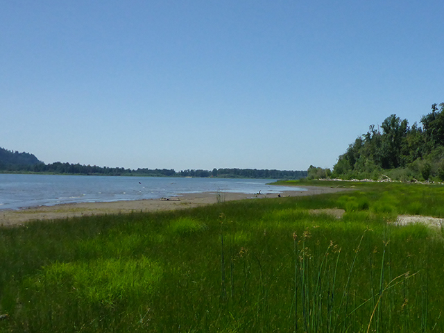
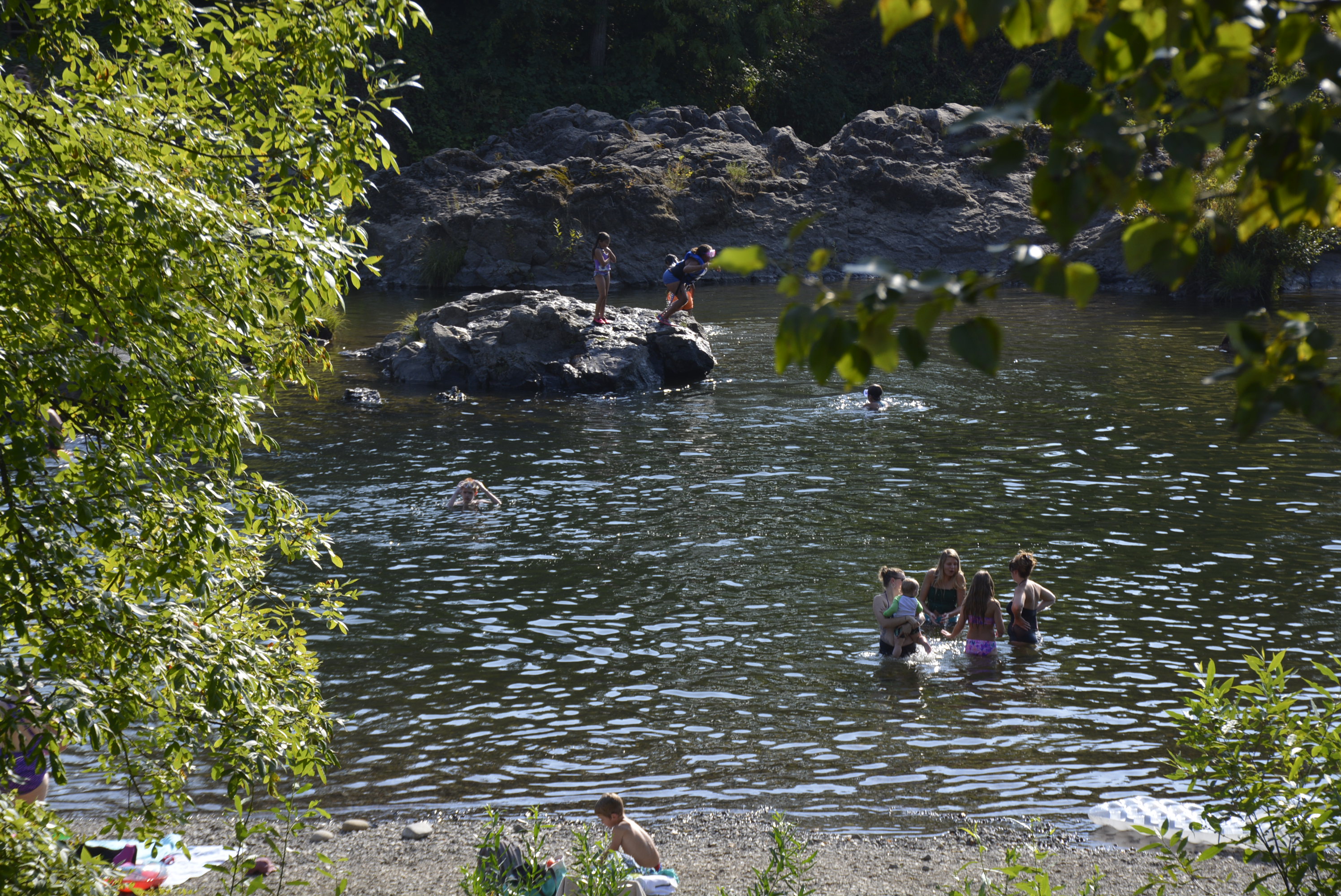
Steigerwald Lake National Wildlife Refuge. Washington, Lewis and Clark Highway, Washougal, WA, USA
Distance: 5.44 mi (straight line)
Reed Island State Park, Washougal, WA, USA
Distance: 5.60 mi (straight line)
Outdoor Experiences RV and Camping
View Listing
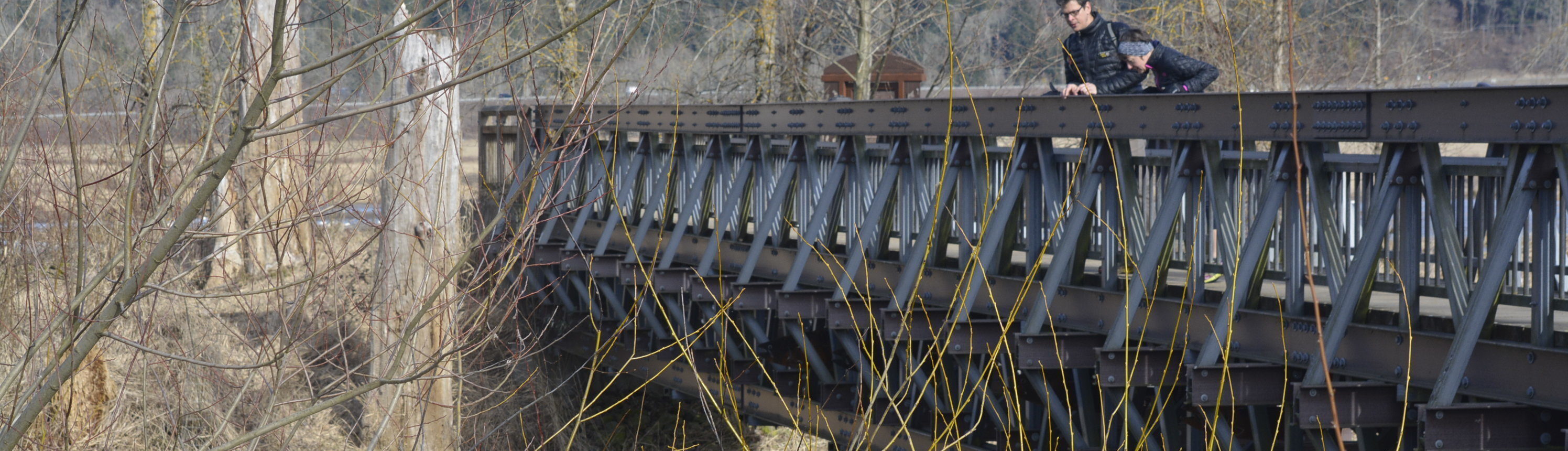
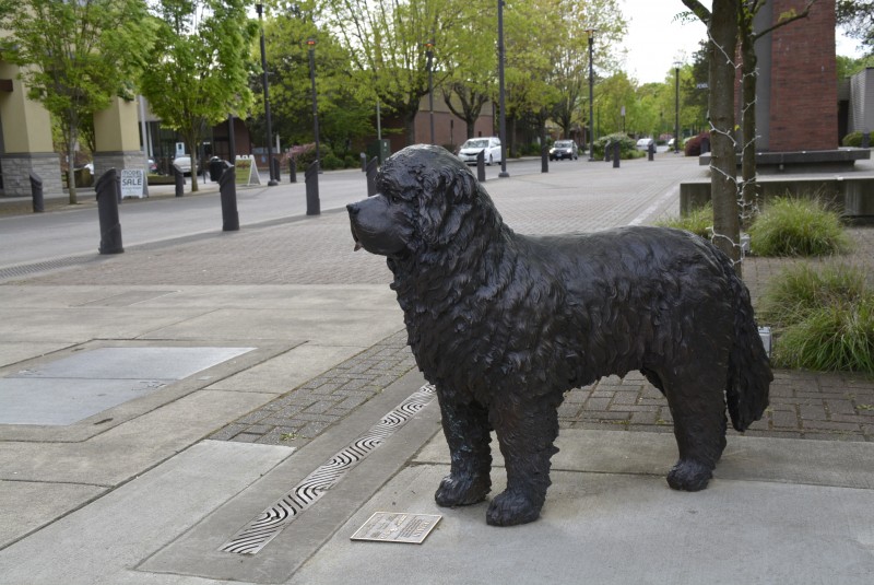
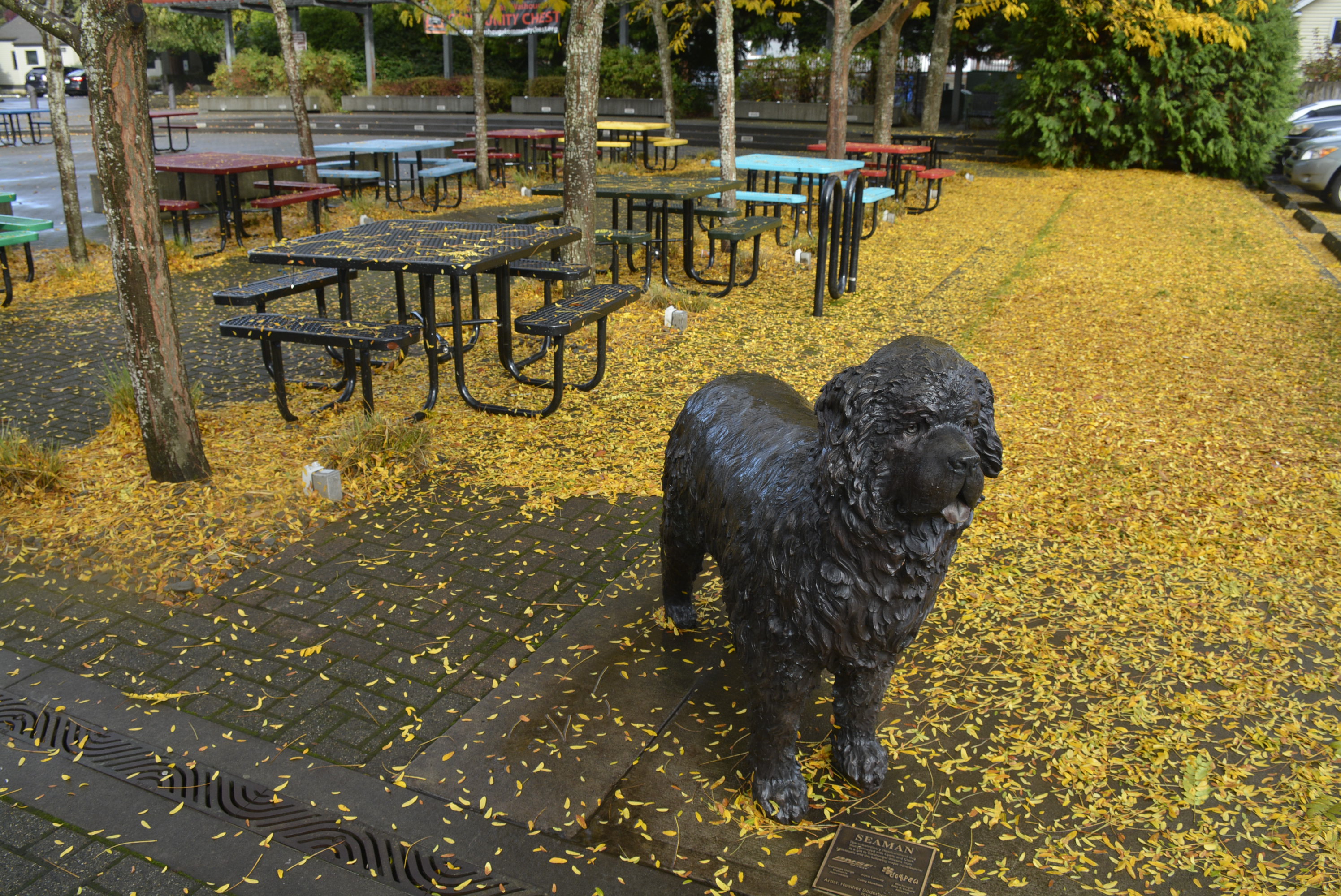
Captain William Clark Park Trail, Washougal, WA, USA
Distance: 6.77 mi (straight line)
Walks and Hikes Outdoor Experiences
View Listing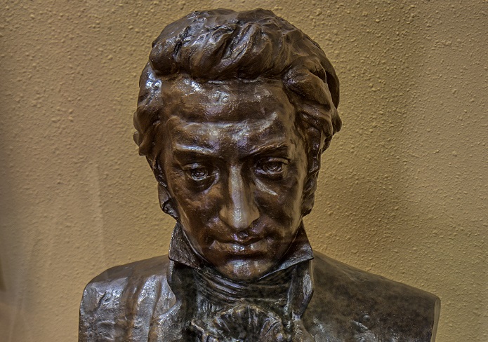
Captain William Clark Park Trail, Washougal, WA, USA
Distance: 6.77 mi (straight line)
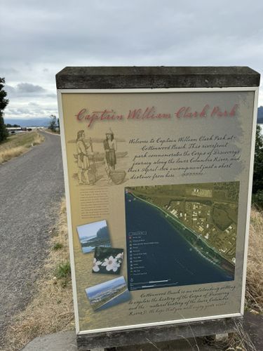
Captain William Clark Park Trail, Washougal, WA, USA
Distance: 6.82 mi (straight line)
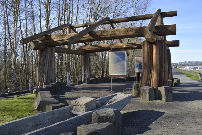
Captain William Clark Park, Index Street, Washougal, WA, USA
Distance: 7.05 mi (straight line)
Outdoor Experiences General History Viewpoints
View Listing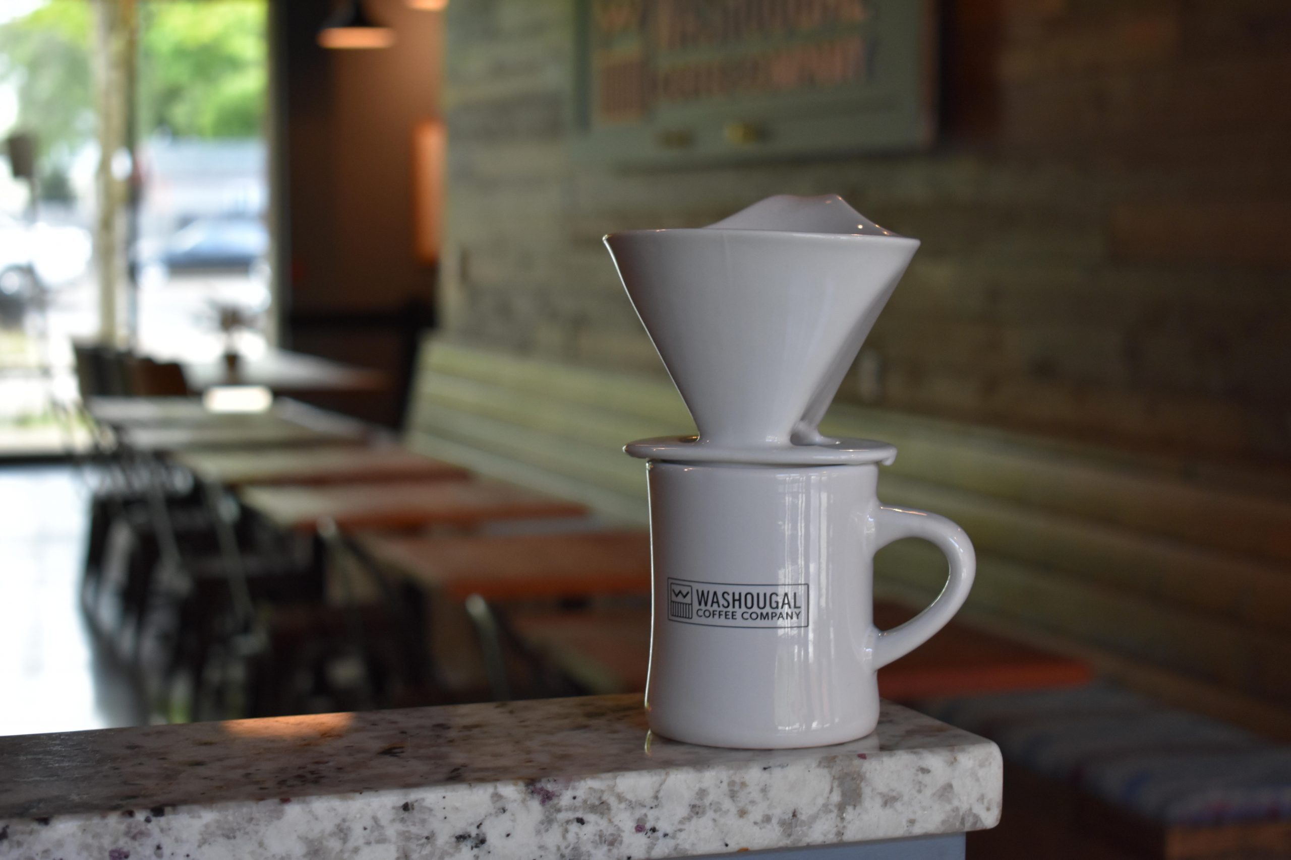
Washougal Coffee Company, Main Street, Washougal, WA, USA
Distance: 7.66 mi (straight line)
Reflection Plaza, Pendleton Way, Washougal, WA, USA
Distance: 7.67 mi (straight line)
Washougal, WA, USA
Distance: 7.70 mi (straight line)
Galleries and Venues Food and Drinks Festivals and Events
View Listing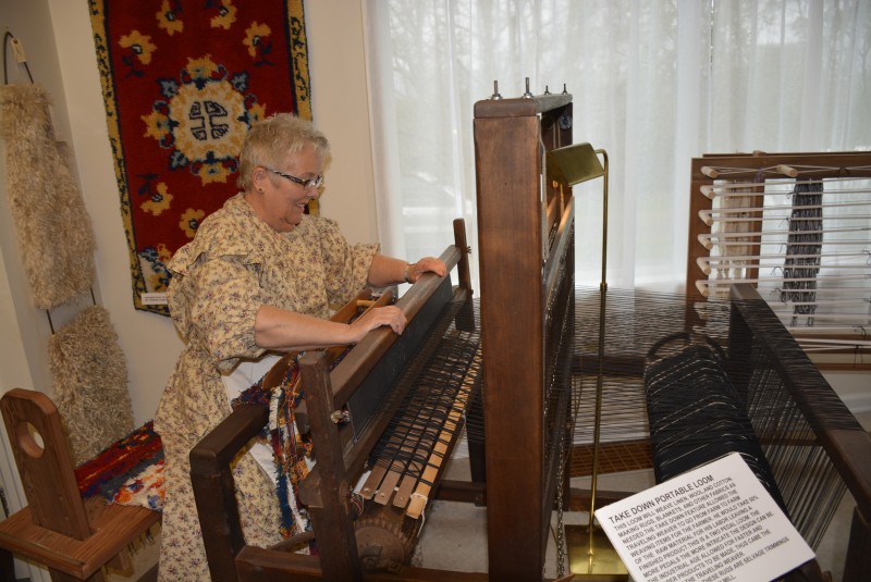
Two Rivers Heritage Museum, Durgan St, Washougal, WA, USA
Distance: 7.75 mi (straight line)
Museums and Interpretive Centers
View Listing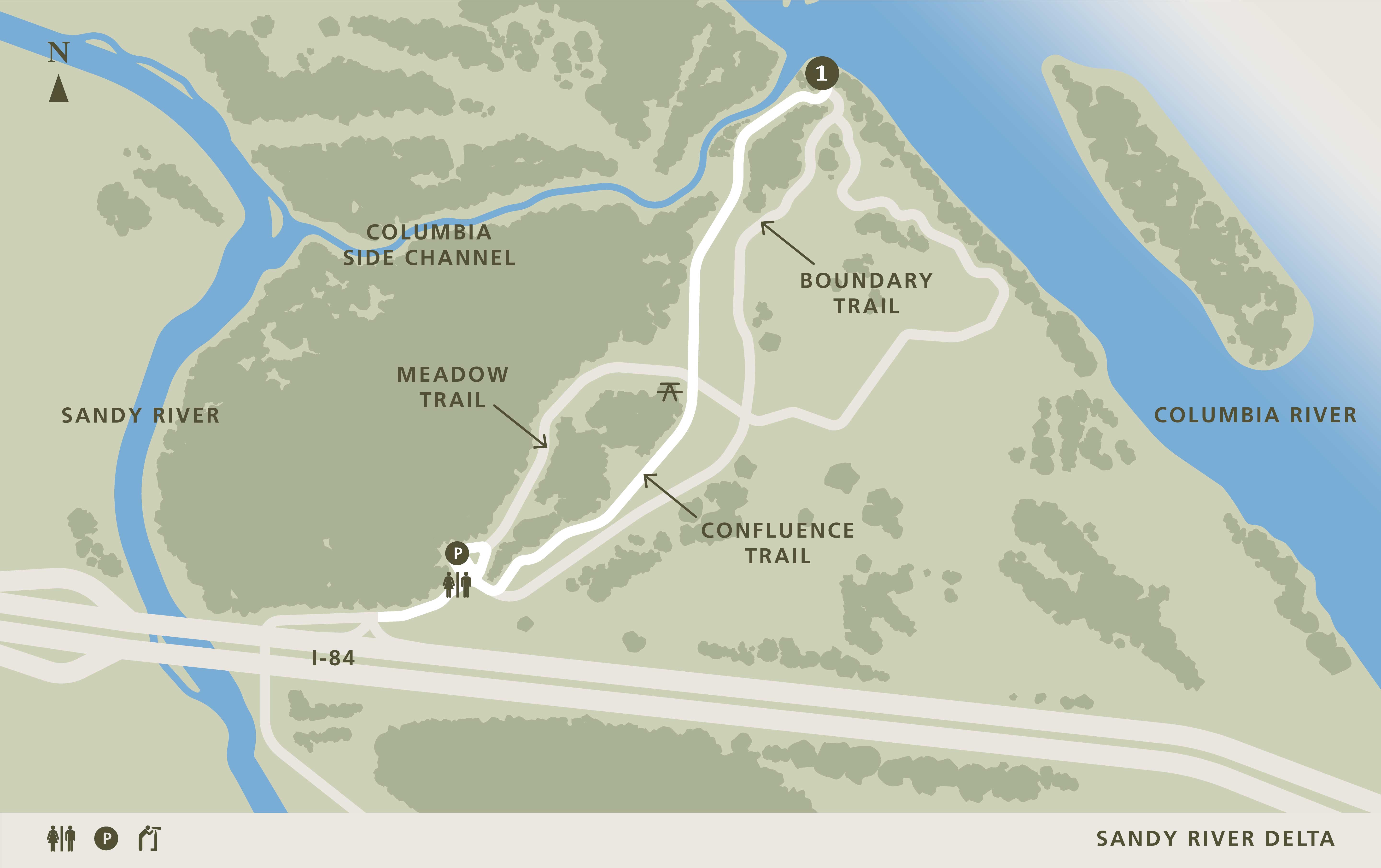
Confluence Trail, Troutdale, OR 97060, USA
Distance: 8.11 mi (straight line)
Galleries and Venues Tribal Experiences
View Listing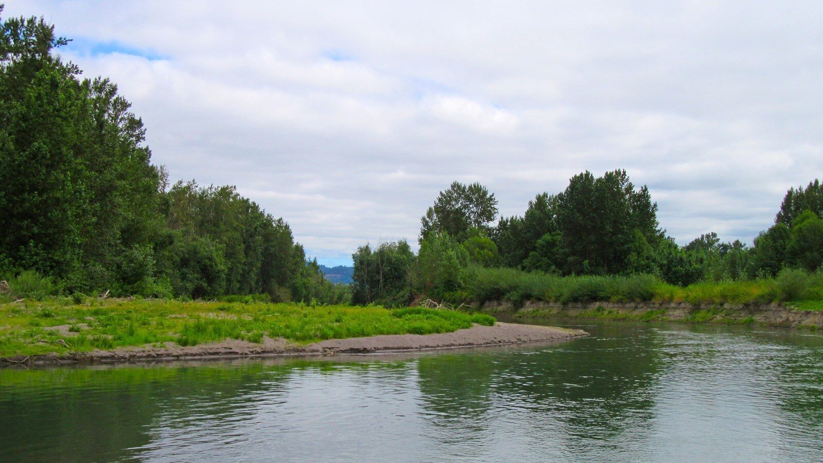
Sandy River Delta, Thousand Acres Road, Troutdale, OR, USA
Distance: 8.47 mi (straight line)
Beacon Rock Trailhead, Beacon Rock Trail, Stevenson, WA, USA
Distance: 9.09 mi (straight line)
Our bi-weekly newsletter provides news, history, and information for those interested in traveling along along the Lewis & Clark Trail.


