Campus Martius Museum
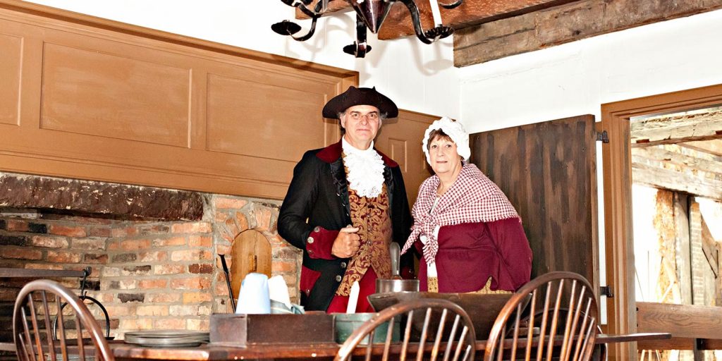

Campus Martius Museum was built on the site of the original stockade, built by the Ohio Company between 1788 and 1791. The name, Campus Martius, chosen by the Ohio Company, comes from Latin for Field of Mars, the military camp where the legions of ancient Rome once trained. Known by the early settlers as the stockade or Campus Martius, the original fortification was built to house and protect the members of the Ohio Company during the Ohio Indian Wars of 1790 to 1794. By 1795, after the signing of the Treaty of Greeneville, the stockade was no longer necessary. Buildings were then dismantled, the wood planks used in the construction of some of the homes located throughout Marietta.
Of horizontal plank construction, the Rufus Putnam House, part of the original stockade, is enclosed inside the museum. Rufus Putnam and his wife, Persis, remained in this house on its current site until their deaths. The house was restored by the Ohio Historical Society (currently the Ohio History Connection) between 1966 and 1972. The museum is also the present site of the Ohio Company Land Office, which was moved there in 1953 to insure its future preservation. In this office, land deeds were allotted for the original Ohio Company Purchase. Here, Rufus Putnam, the first surveyor- general of the United States, made some of the earliest maps of the Northwest Territory.
Free parking is available at the rear of the museum and on-street. Campus Martius Museum’s three floors of exhibits are wheelchair accessible, excluding the second floor of the Rufus Putnam House. No visit to Campus Martius is complete without a visit to the nearby Ohio River Museum.

Ohio River Museum, Front Street, Marietta, OH, USA
Distance: 0.11 mi (straight line)
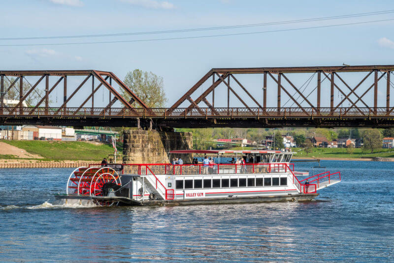
Valley Gem Sternwheeler, Front Street, Marietta, OH, USA
Distance: 0.13 mi (straight line)

The Castle Historic House Museum, 4th Street, Marietta, OH, USA
Distance: 0.34 mi (straight line)
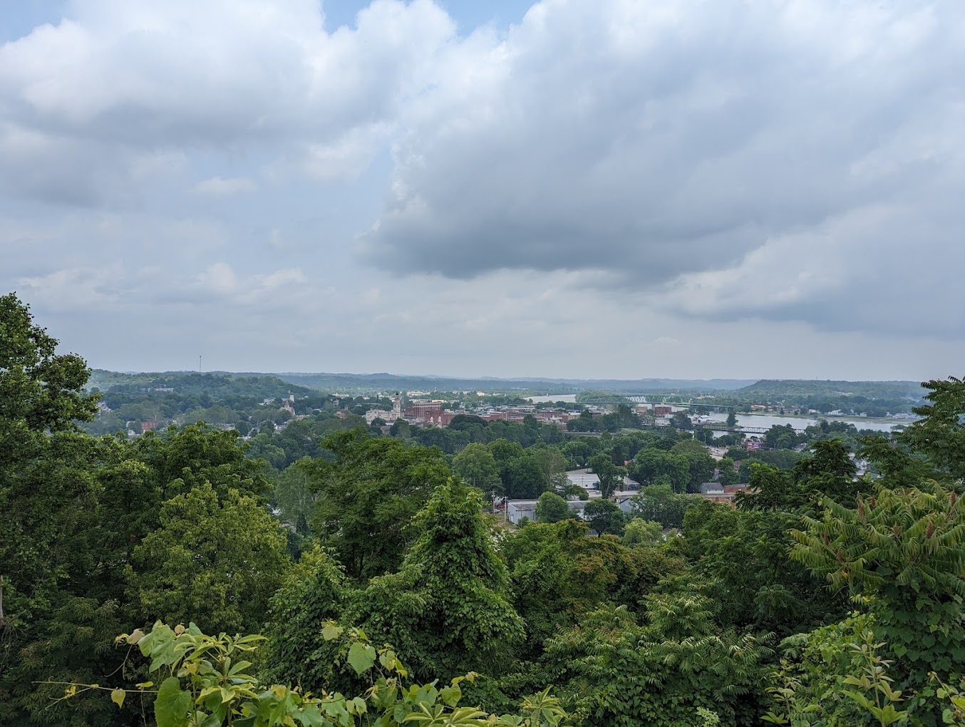
202 Bellevue St, Marietta, OH 45750, USA
Distance: 0.41 mi (straight line)
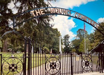
Mound Cemetery, Cutler Street, Marietta, OH, USA
Distance: 0.51 mi (straight line)

Peoples Bank Theatre, Putnam Street, Marietta, OH, USA
Distance: 0.57 mi (straight line)

Marietta Adventure Company, 2nd Street, Marietta, OH, USA
Distance: 0.63 mi (straight line)
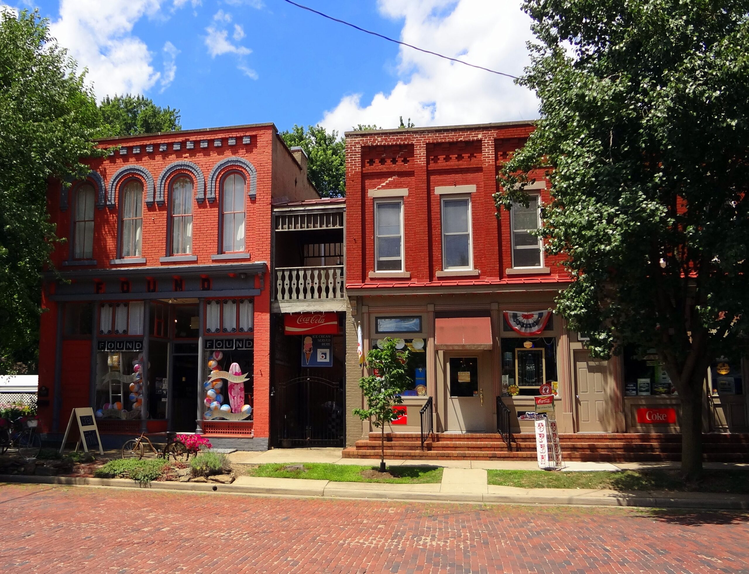
Harmar Historic District, Marietta, OH, USA
Distance: 0.71 mi (straight line)
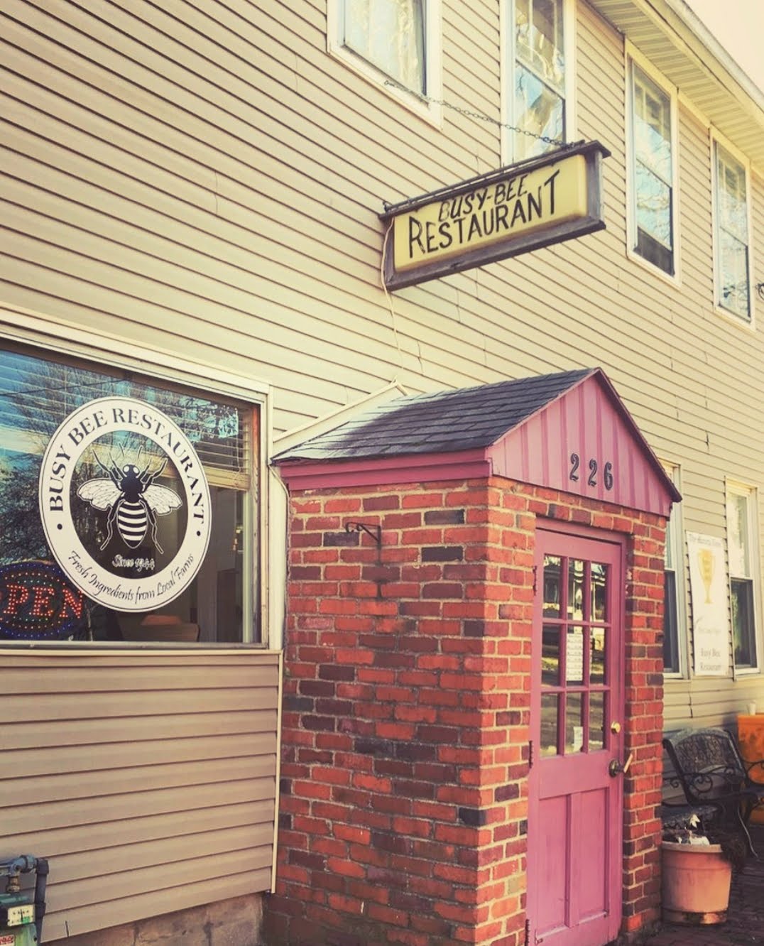
Busy Bee, Gilman Avenue, Marietta, OH, USA
Distance: 0.72 mi (straight line)
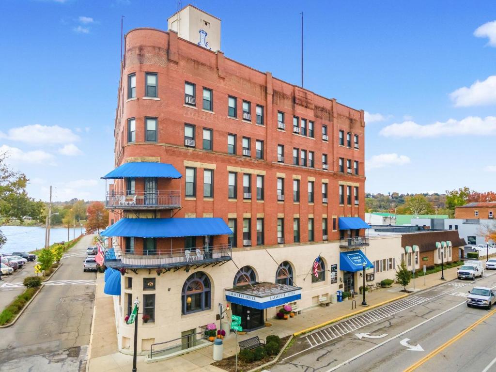
101 Front Street, Marietta, Ohio, 45750
Distance: 0.87 mi (straight line)
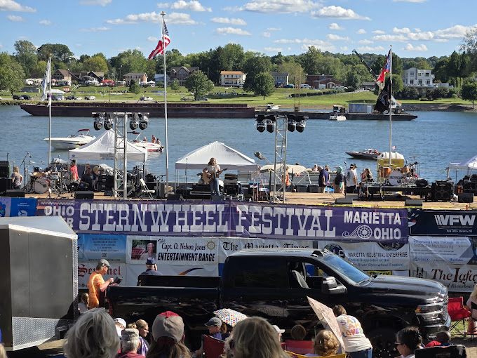
Marietta Levee, Post Street, Marietta, Ohio, USA
Distance: 0.93 mi (straight line)

412 Muskingum Dr, Marietta, OH, USA
Distance: 1.63 mi (straight line)
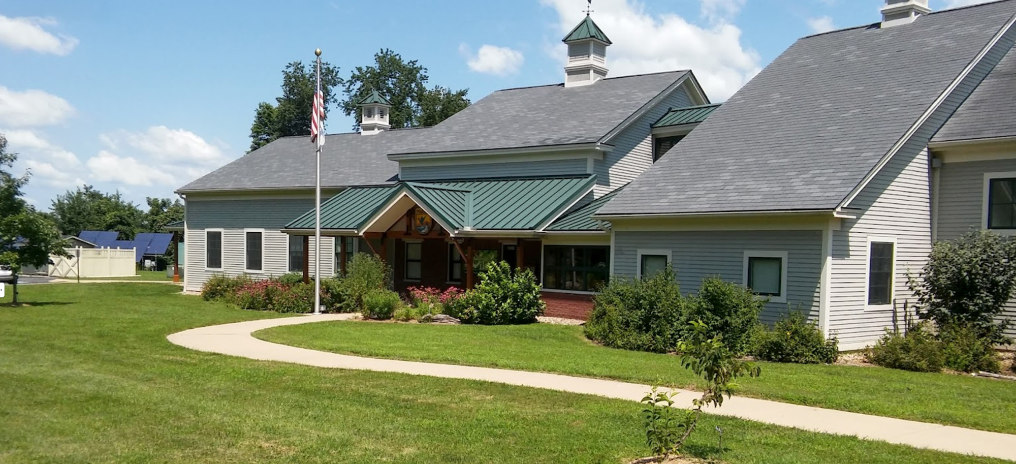
Ohio River Islands National Wildlife Refuge Visitor Center, Waverly-Williamstown Road, Williamstown, WV, USA
Distance: 3.01 mi (straight line)
Museums and Interpretive Centers Outdoor Experiences Walks and Hikes
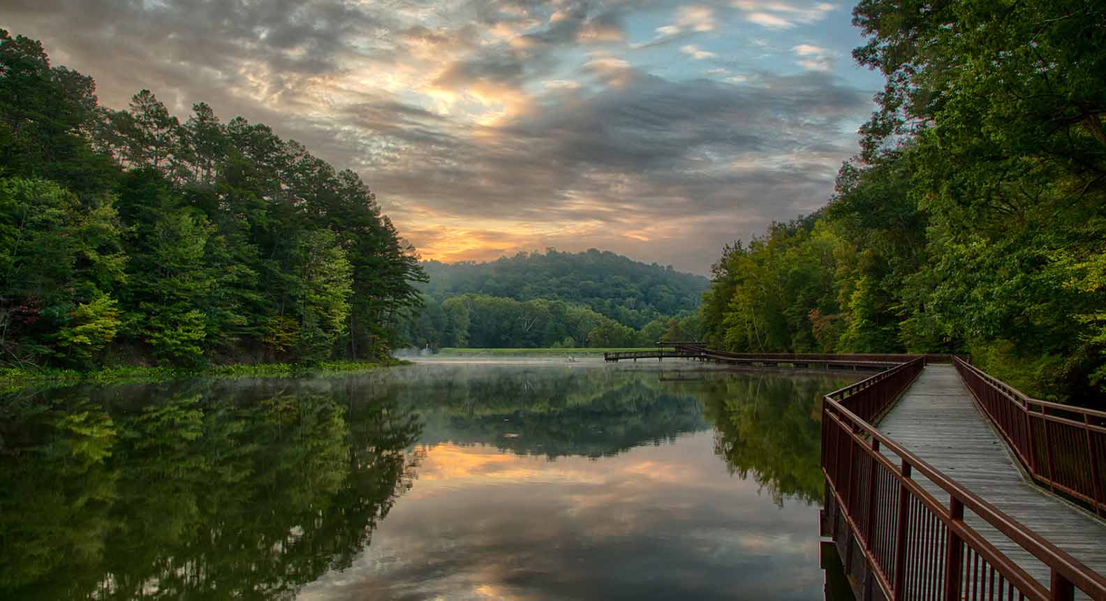
27515 State Rte 7, Marietta, OH 45750, USA
Distance: 5.00 mi (straight line)
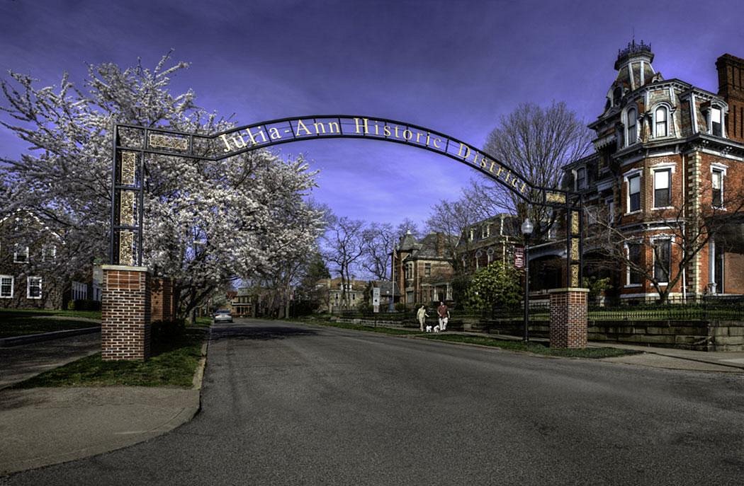
Julia-Ann Square Historic District, Juliana Street, Parkersburg, WV, USA
Distance: 11.63 mi (straight line)
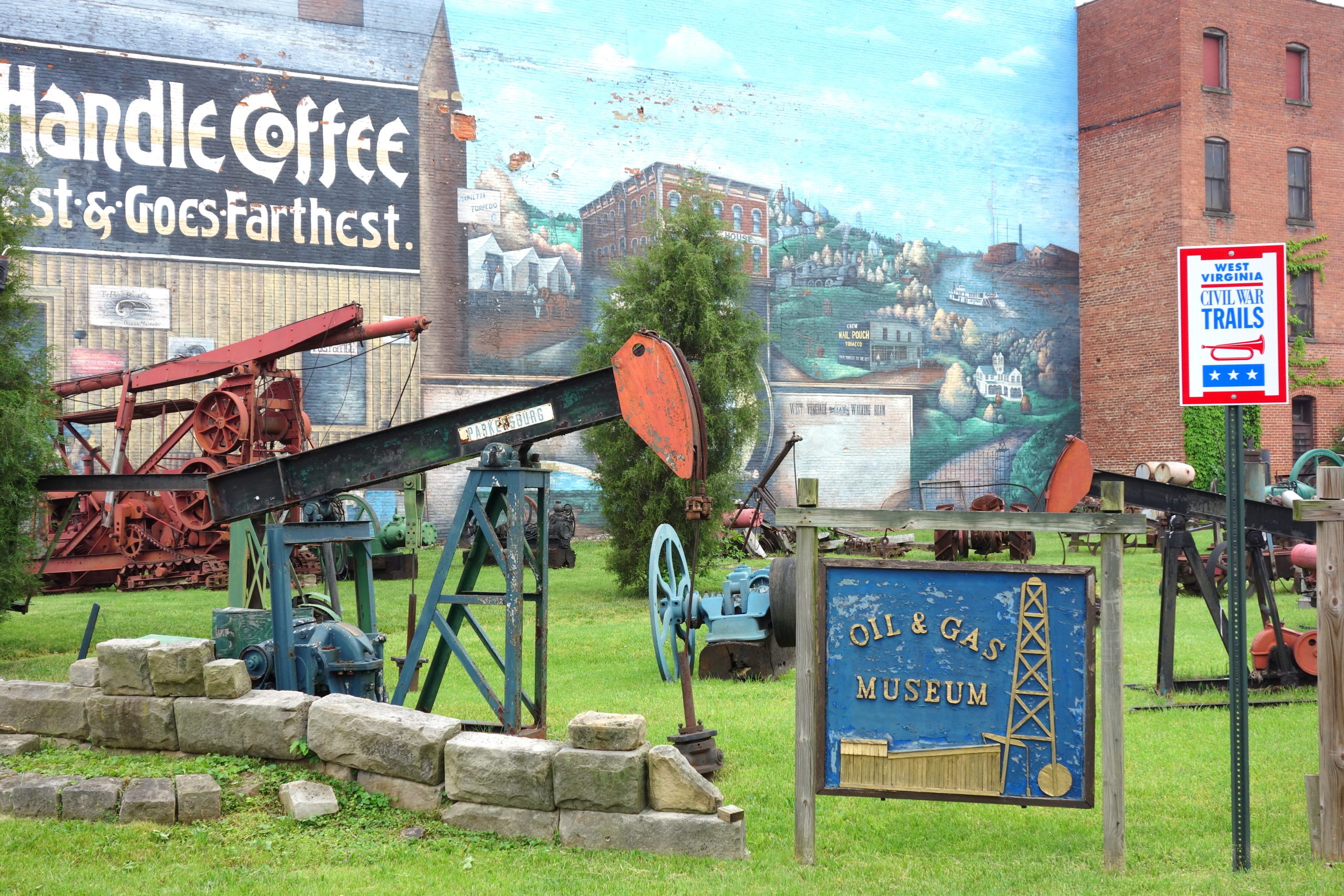
Oil & Gas Museum, 3rd Street, Parkersburg, WV, USA
Distance: 12.05 mi (straight line)
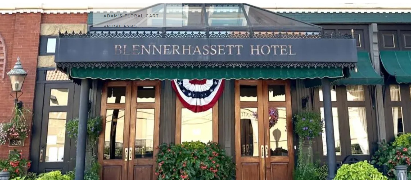
The Blennerhassett Hotel, Market Street, Parkersburg, WV, USA
Distance: 12.07 mi (straight line)
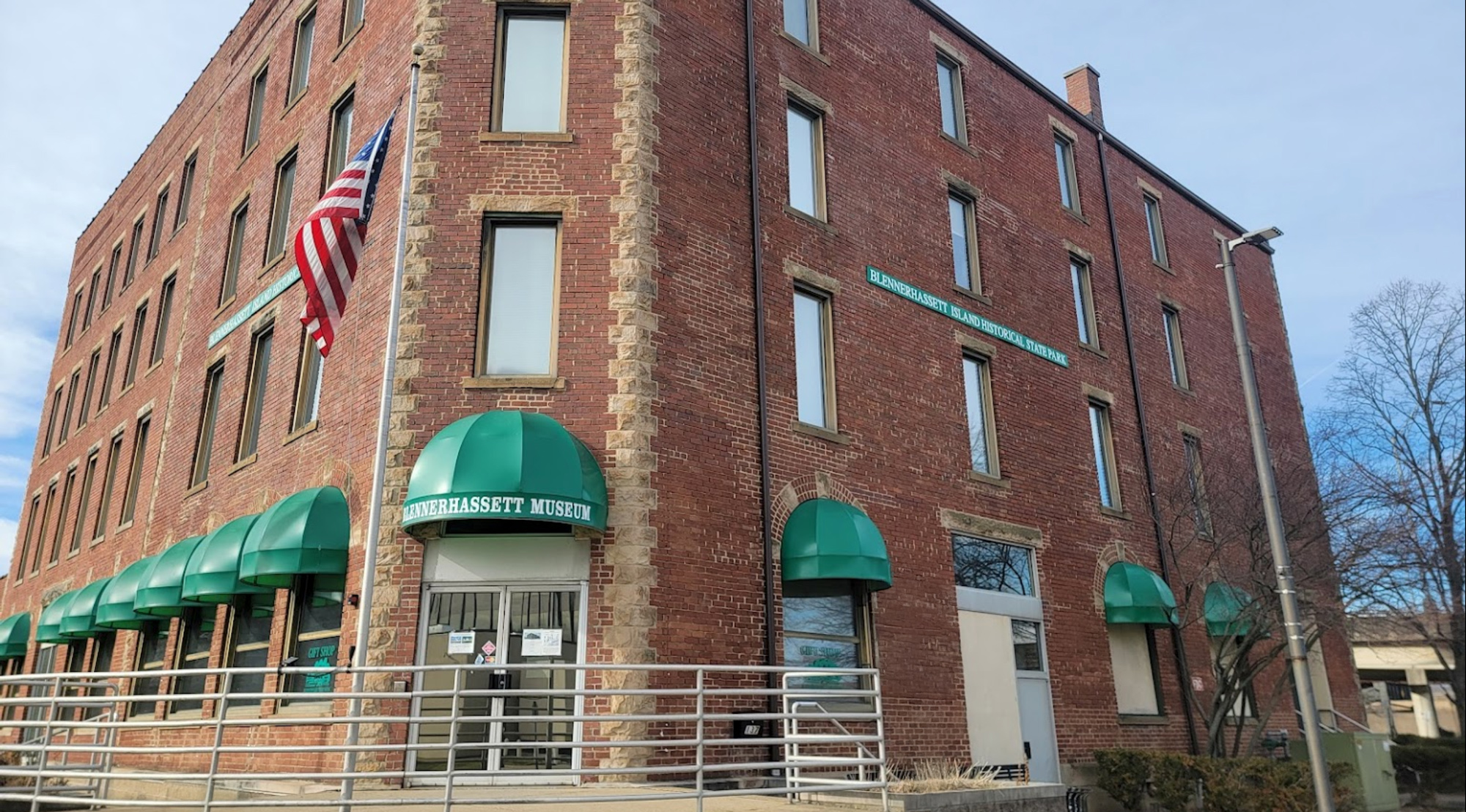
Blennerhassett Museum of Regional History, Juliana Street, Parkersburg, WV, USA
Distance: 12.16 mi (straight line)
Our bi-weekly newsletter provides news, history, and information for those interested in traveling along along the Lewis & Clark Trail.