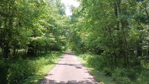
Buttermilk Falls Hiking and Biking Trail
The trail was initially developed in 1996 by turning 2.5 miles of county road into a trail that connects Riverfront Park, on the banks of the Ohio River in Brandenburg east to Kentucky State Route 933. This riverside trail winds through the wooded, scenic area along Flippins Run Creek.
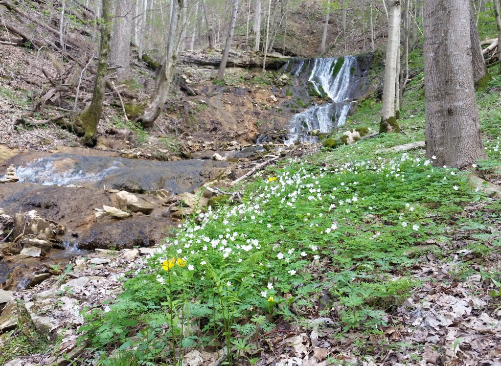
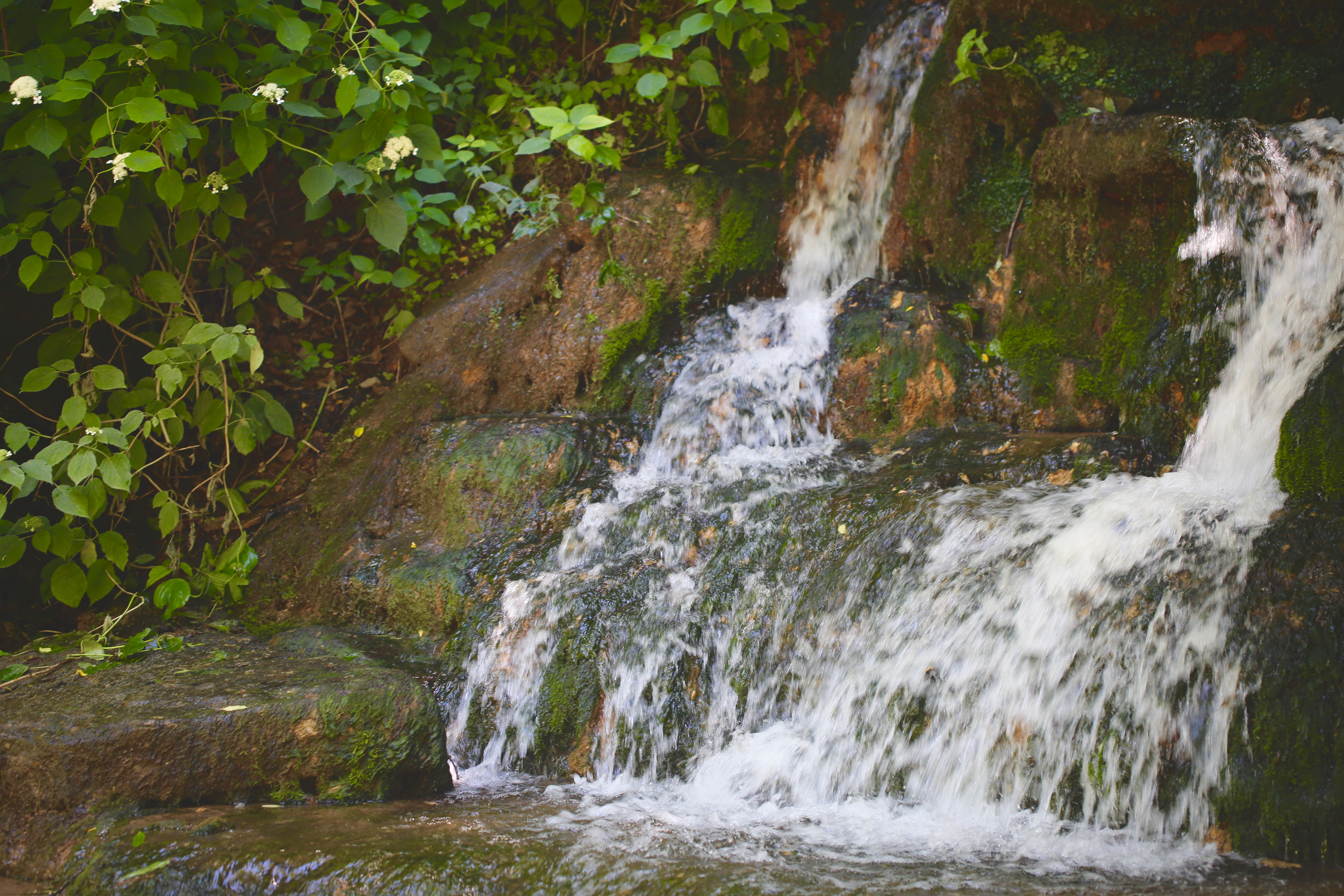
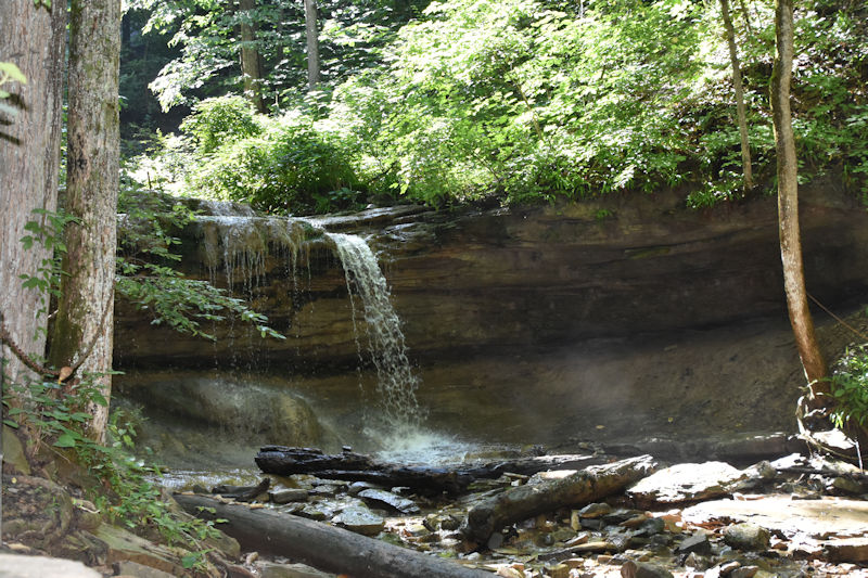
The Buttermilk Falls Trail (2.5 miles) includes a wooden footbridge over one of the many streams and passes Buttermilk Falls. These falls are formed from a series of hillside springs that run throughout the year. This spring system once supplied water to many of Meade County’s residents.
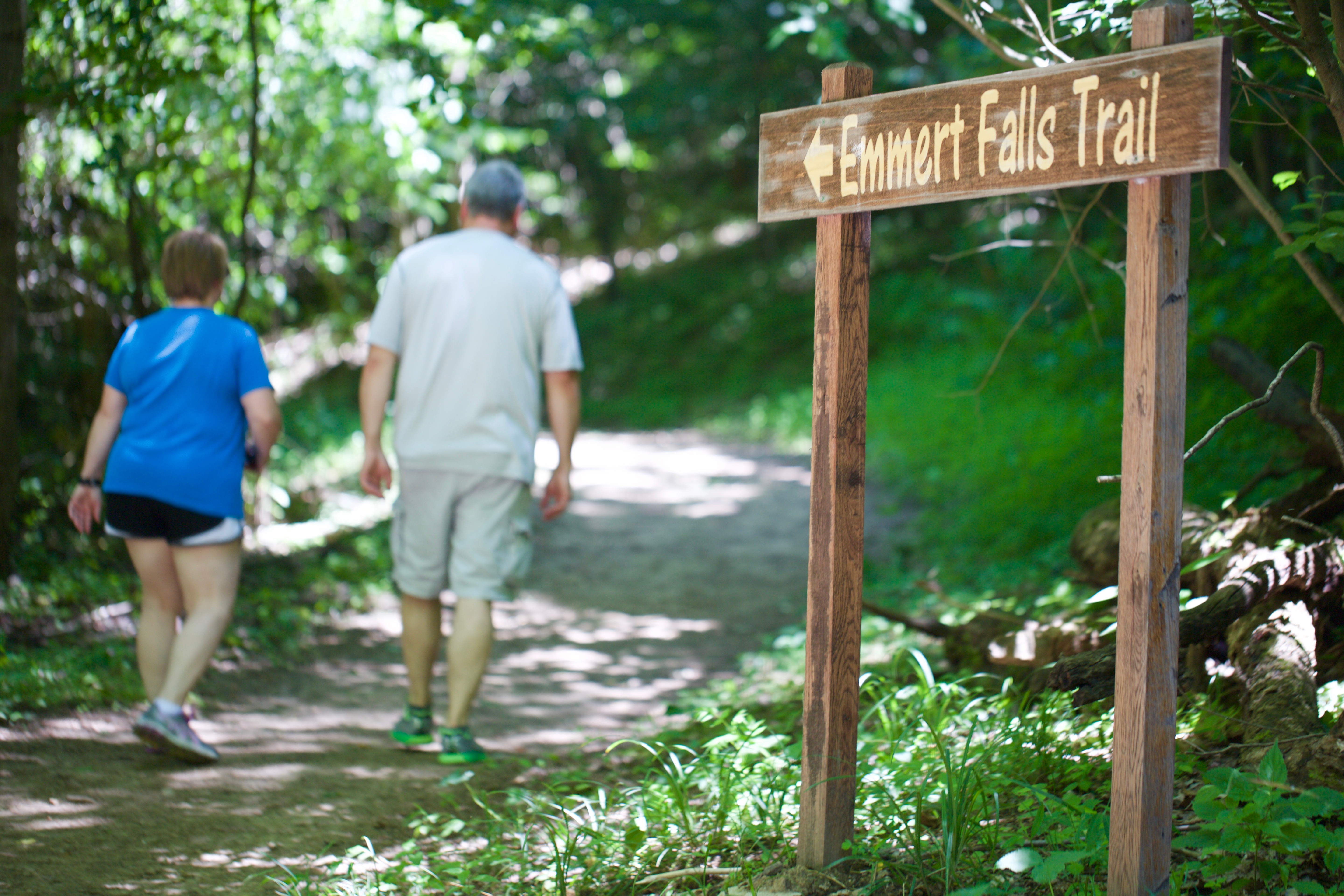
Emmert Falls Primitive Trail (1.1 miles) gently climbs through the hardwoods above, a trail spur leads to Emmert Falls and a pavilion with seating. Both trails converge at the “learning tree”, a 100-year-old Osage Orange Tree, a popular gathering spot with handmade sassafras benches. Its highlight during the spring is the wildflowers that grace the forest floor. Common species include Blue Bells, Dutchmen’s Britches, Shooting Stars, Wild Ginger, Trillium, and Yellow trout lilies.
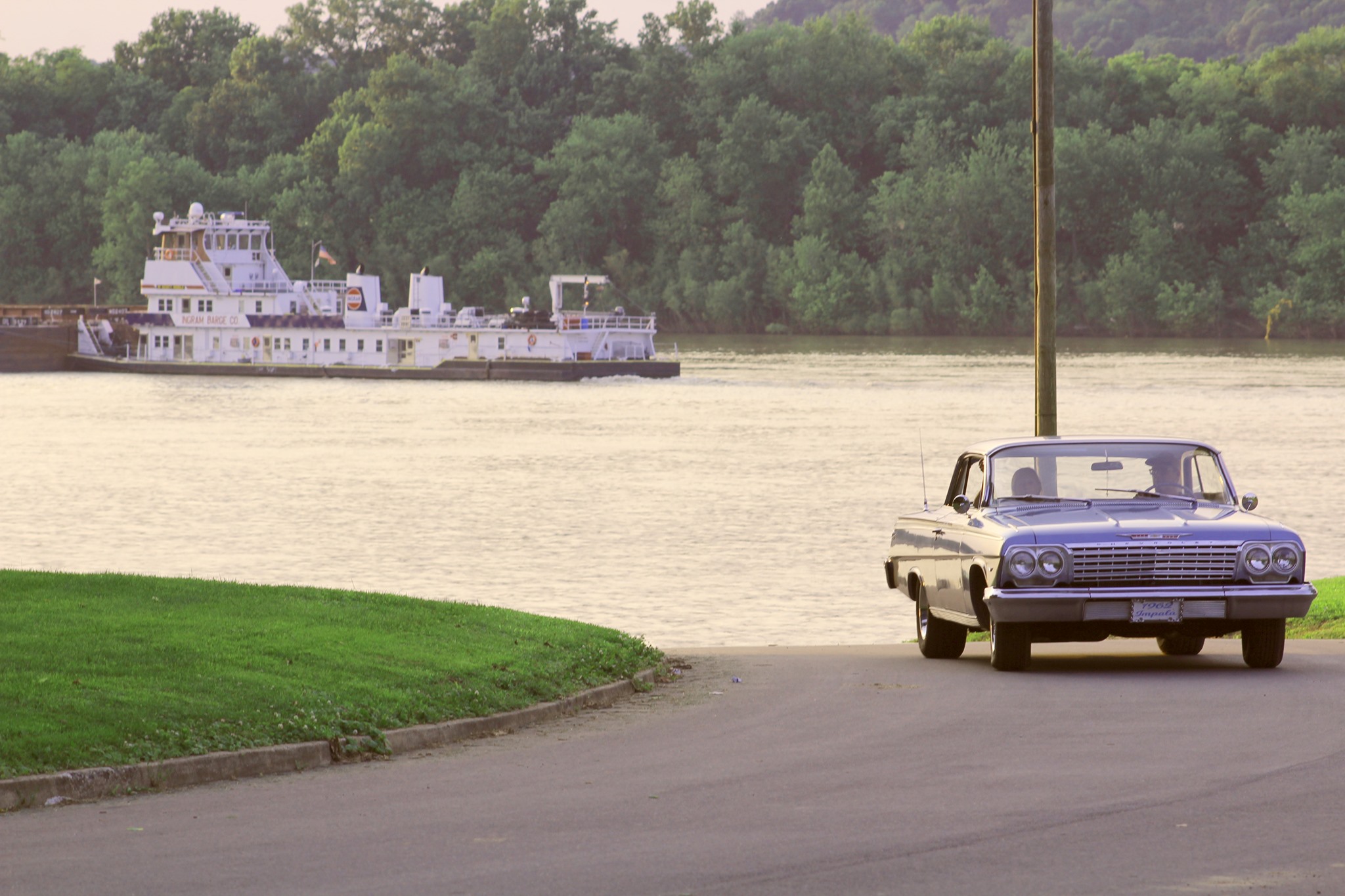
River Front Park, Water Street, Brandenburg, KY, USA
Distance: 0.08 mi (straight line)
RV and Camping Walks and Hikes Outdoor Experiences
View Listing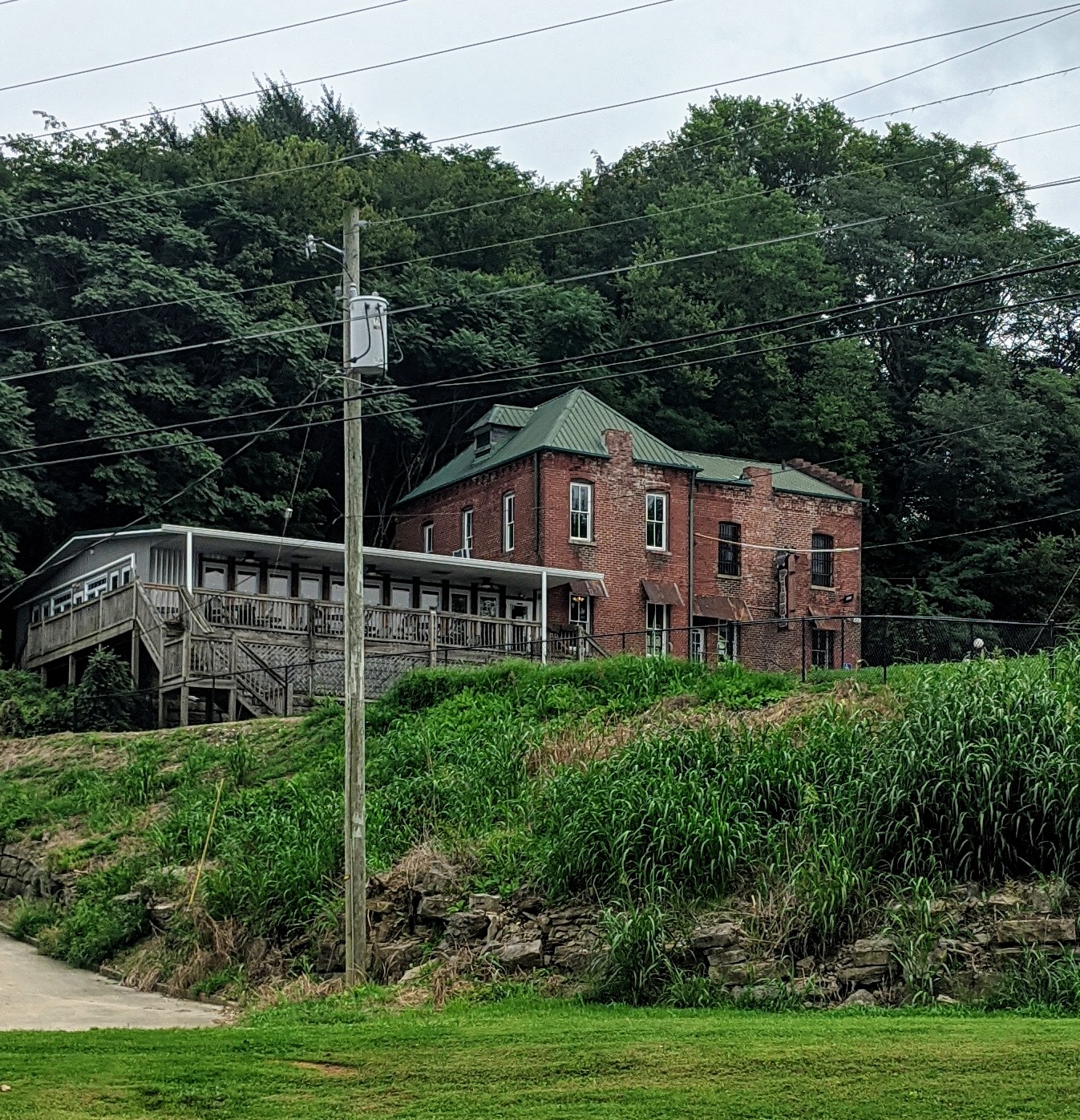
Jailhouse Pizza, Main Street, Brandenburg, KY, USA
Distance: 0.16 mi (straight line)
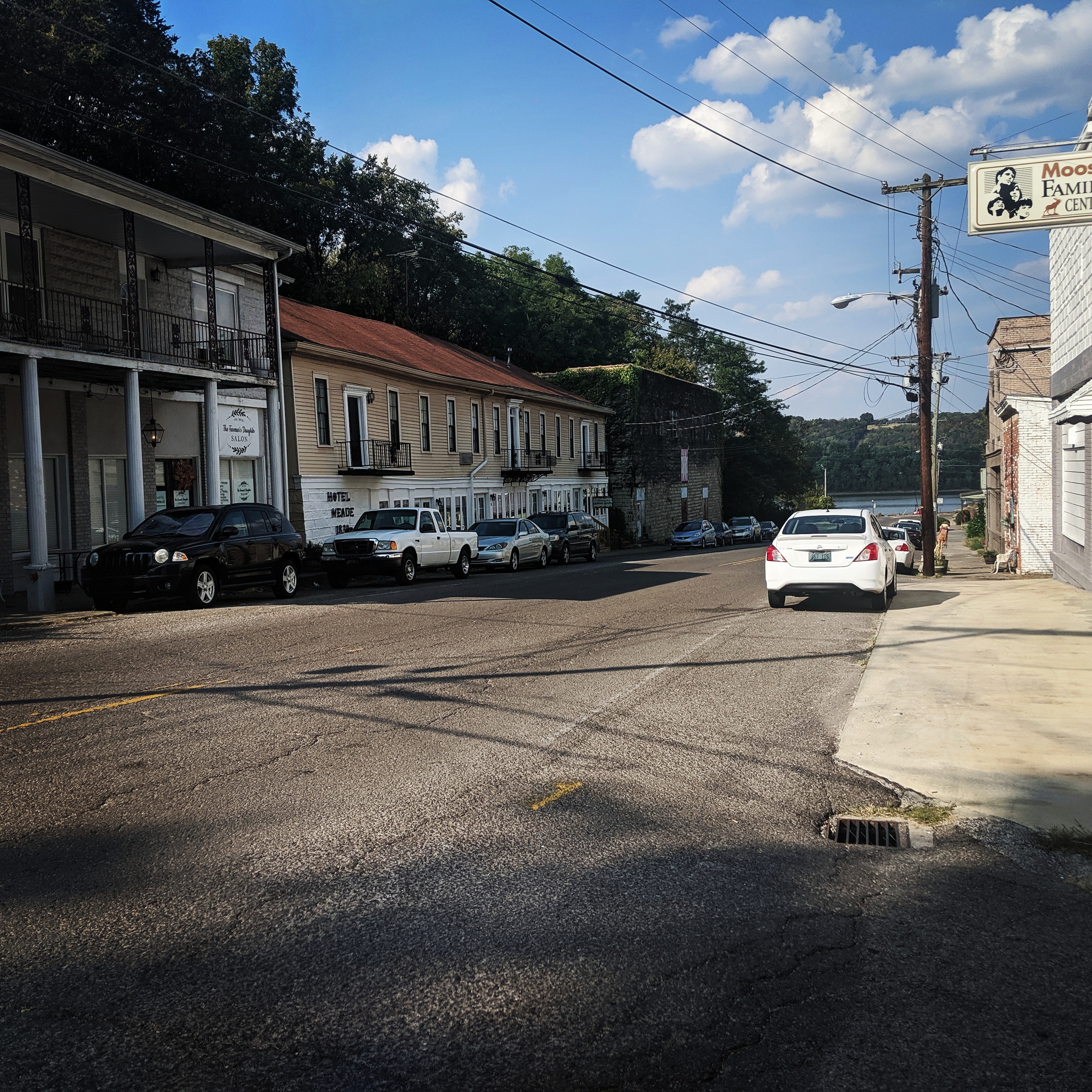
79 Broadway Street, Brandenburg, KY 40108, USA
Distance: 0.39 mi (straight line)

The Olin Guest House, Lawrence Street, Brandenburg, KY, USA
Distance: 0.57 mi (straight line)
Tioga Falls Trail, Louisville Nashville Turnpike, West Point, KY, USA
Distance: 11.40 mi (straight line)
Veterans Memorial Park, Veterans Memorial Park Drive, West Point, Kentucky, USA
Distance: 11.82 mi (straight line)
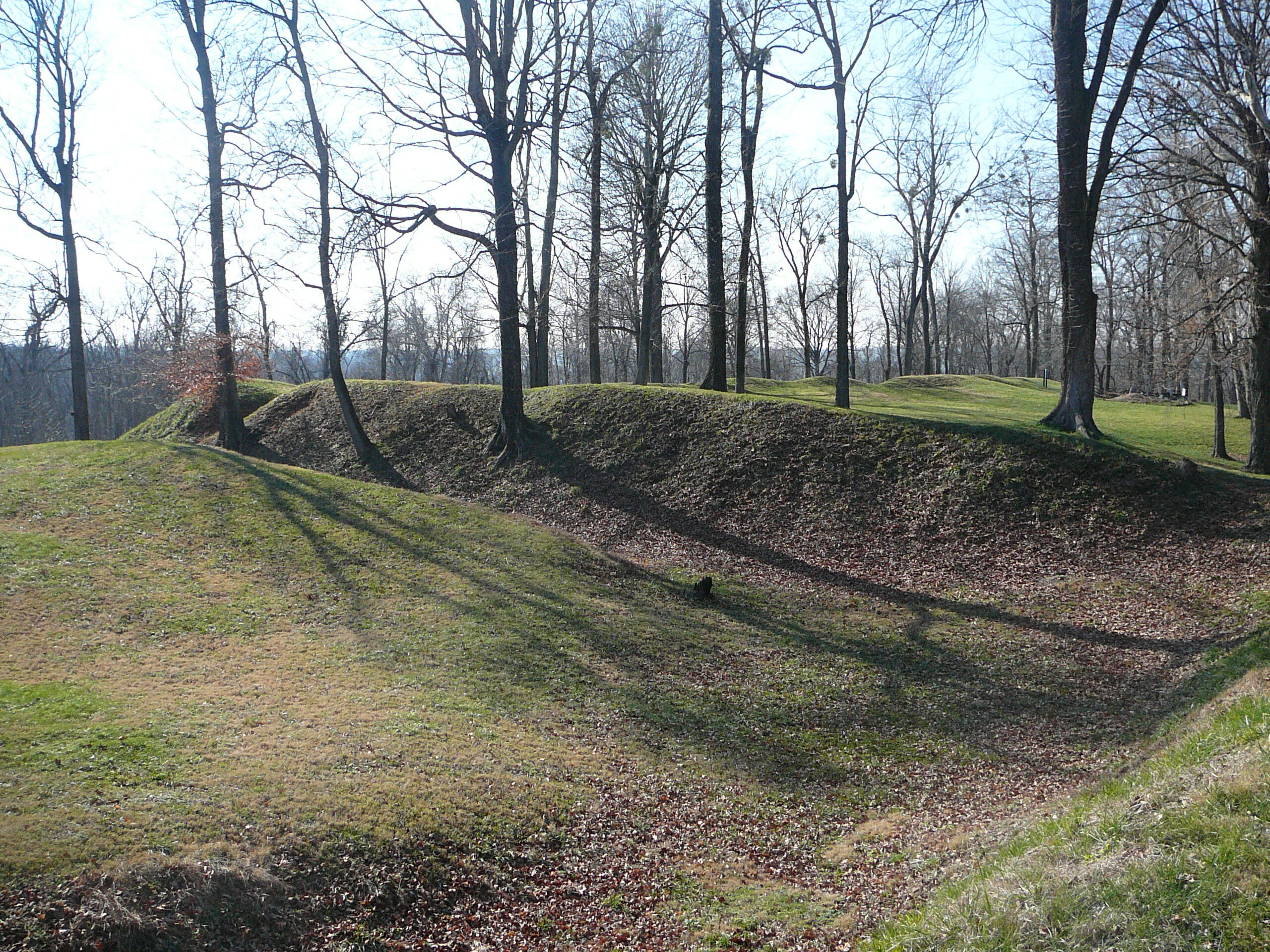
Fort Duffield Park & Historic Site, West Point, KY, U.S.
Distance: 12.23 mi (straight line)

Kulmer Beach Reserve, Kulmer Beach Road, West Point, KY, USA
Distance: 12.70 mi (straight line)
Outdoor Experiences Walks and Hikes
View Listing
7234 Old Forest Road Southwest, Corydon, IN 47112, USA
Distance: 14.52 mi (straight line)
Outdoor Experiences RV and Camping Walks and Hikes Viewpoints Fun and Sports
View Listing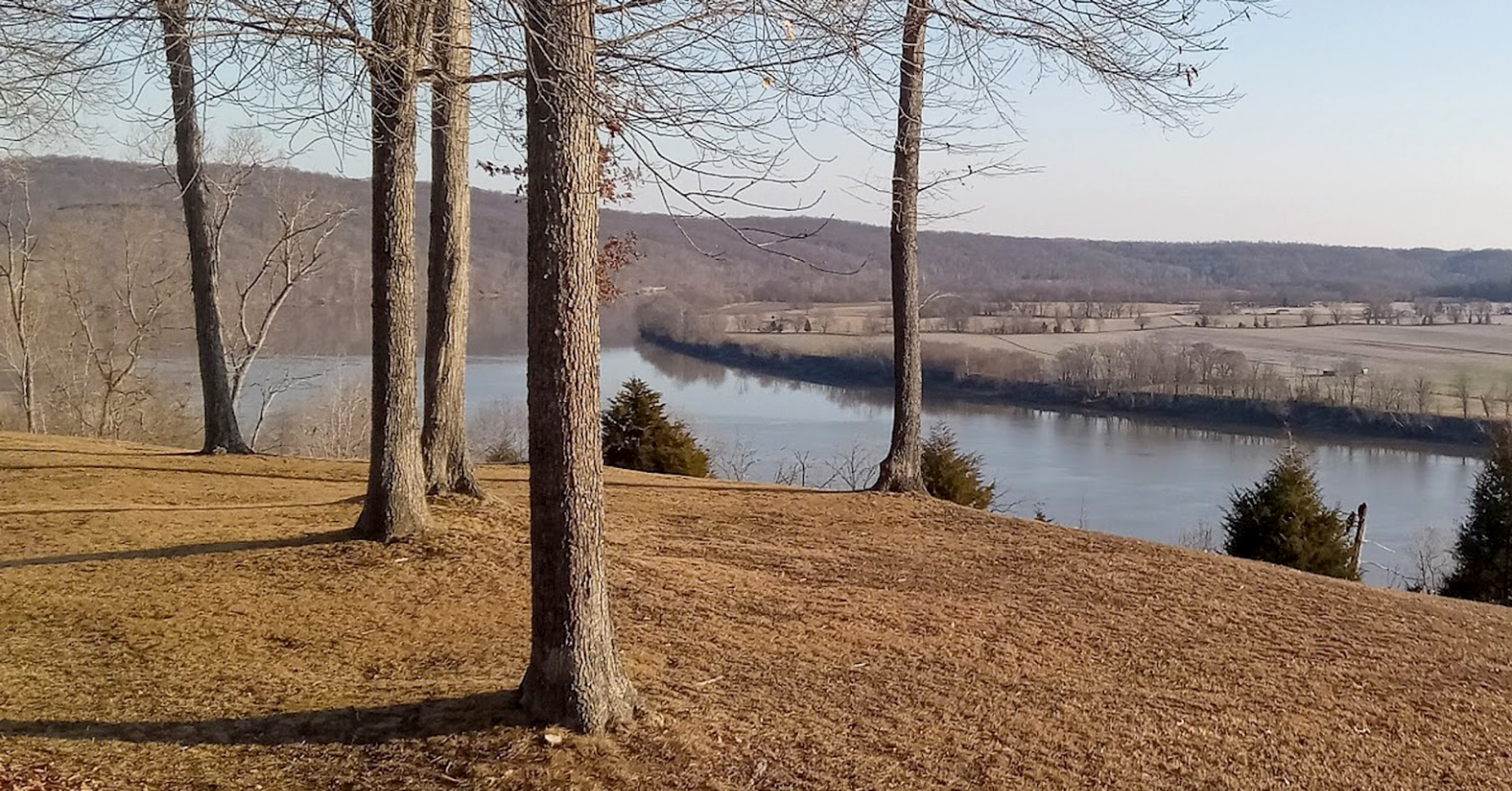
Leavenworth Roadside Park, Leavenworth, IN, USA
Distance: 16.17 mi (straight line)
Viewpoints Outdoor Experiences
View Listing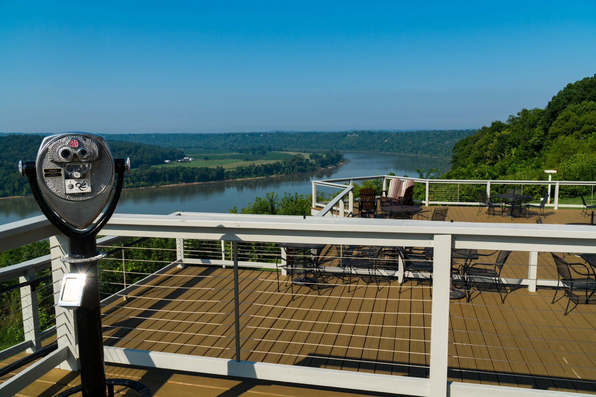
The Overlook Restaurant, Indiana 62, Leavenworth, IN, USA
Distance: 16.93 mi (straight line)
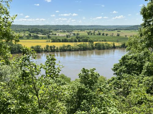
Buzzards Roost Access Rd, Cannelton, IN 47520, USA
Distance: 18.43 mi (straight line)
Outdoor Experiences Walks and Hikes Viewpoints
View Listing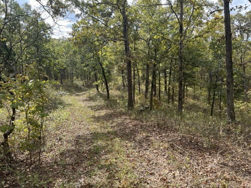
Mogan Ridge East Trailhead, Utopia Rd, Derby, IN, USA
Distance: 19.59 mi (straight line)
Outdoor Experiences Walks and Hikes
View Listing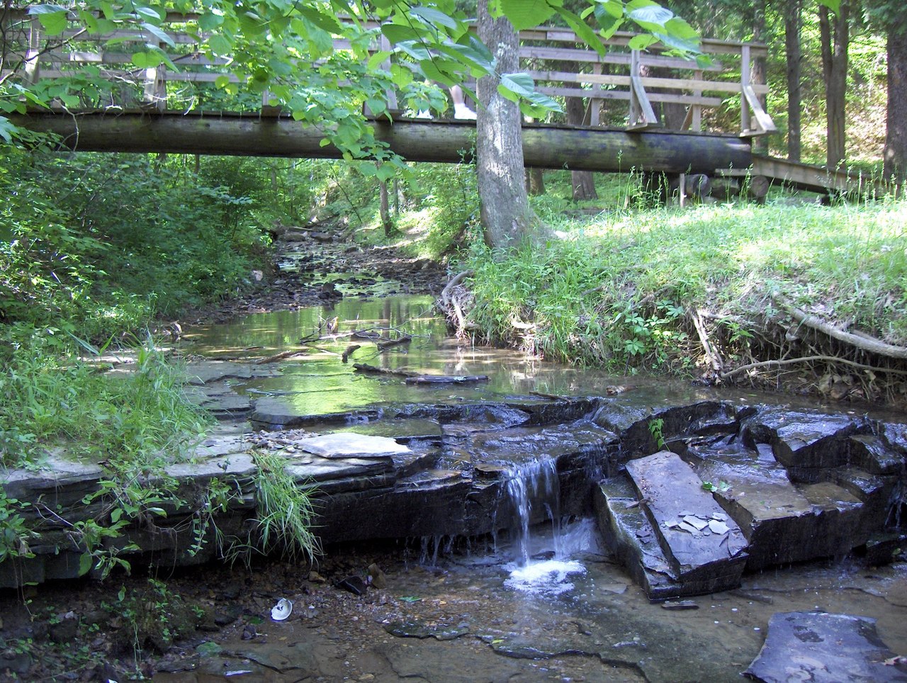
Jefferson County Memorial Forest, Louisville, KY, USA
Distance: 19.98 mi (straight line)
Outdoor Experiences Walks and Hikes
View Listing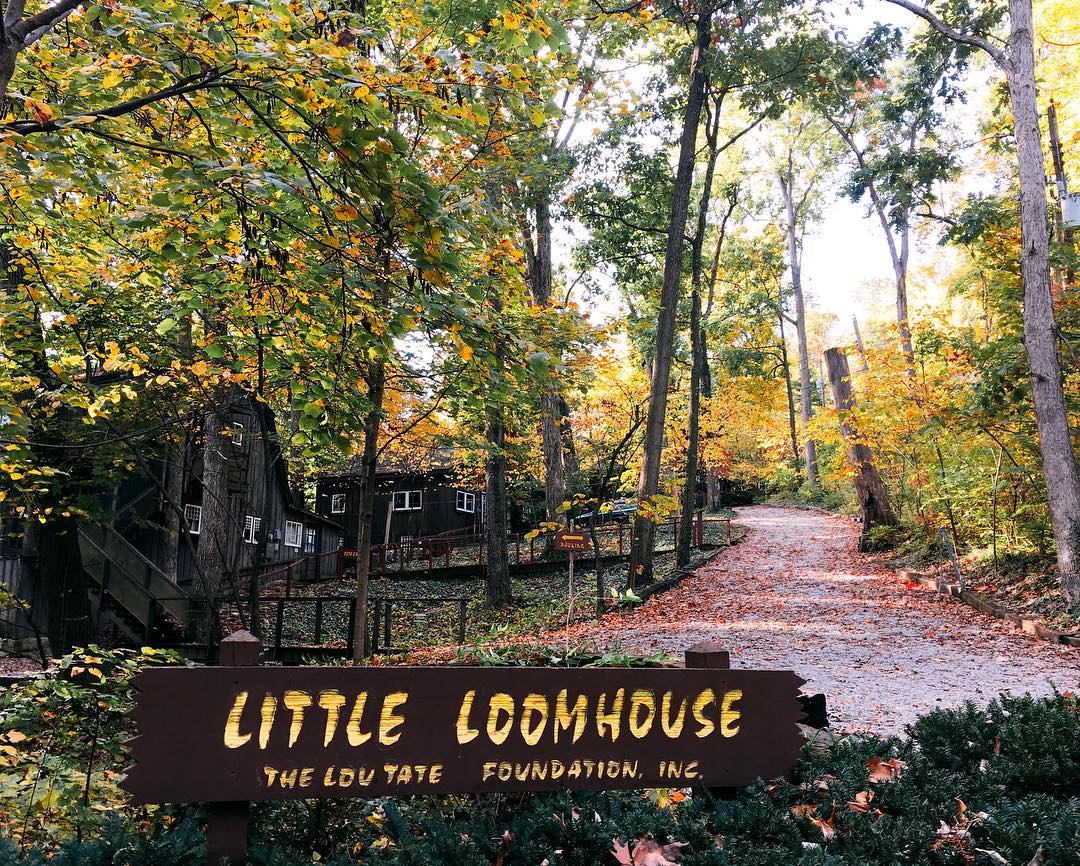
The Little Loomhouse, Kenwood Hill Road, Louisville, KY, USA
Distance: 23.96 mi (straight line)
Guided Tours Galleries and Venues
View Listing
Shawnee Park, West Broadway, Louisville, KY, USA
Distance: 25.17 mi (straight line)
Outdoor Experiences Walks and Hikes Viewpoints
View Listing
Churchill Downs, Central Avenue, Louisville, KY, USA
Distance: 25.43 mi (straight line)
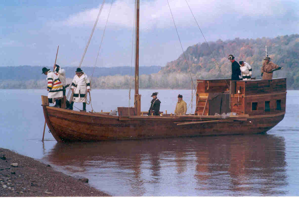
Our bi-weekly newsletter provides news, history, and information for those interested in traveling along along the Lewis & Clark Trail.


