Blackbird Hill
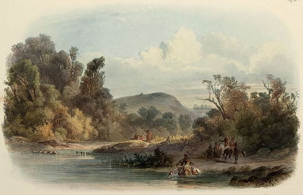
Blackbird Hill is the burial site of several Omaha chiefs, including Chief Blackbird who died in 1800 during a smallpox outbreak. In 1804, the Lewis and Clark expedition visited the site to pay their respects to the chiefs.
The hill is a 300-foot-high promontory on the west side of the Missouri River in present-day Nebraska. On August 11, 1804, Lewis, Clark and ten other men climbed the hill to visit the grave of Omaha Chief Blackbird, whose ruthlessness had gained him notoriety among other tribes and traders from St. Louis. Clark wrote, “We landed at the foot of the hill on which Black Bird The late King of the mahar who died 4 years ago & 400 of his nation with the small pox was buried and went up and fixed a white flag bound with blue white & read on the grave which was about 12 foot base & circueller, on the top of a Penical about 300 foot above the water of the river, from the top of this hill may be Seen the bends or meanderings of the river for 60 or 70 miles round.”
Blackbird Hill remained a distinctive landmark for river travelers throughout the 19th century. It was painted by George Catlin in 1832 and Karl Bodmer in 1833. According to traditional Omaha tribal accounts, Chief Big Elk was also buried at this site. In a downslope gorge, natural sandstone bedrock exposures display a collection of petroglyphs that depict human, animal, and supernatural figures. While tribal or chronological affiliation of the petroglyphs is unknown, one resembling a human on horseback is likely to be post-1700 CE. Located within the Omaha Reservation, Blackbird Hill is privately owned but publicly viewable from adjacent roadways.
Blackbird Hill is a High Potential Historic Site on the Lewis and Clark National Historic Trail.

110 Missouri St, Macy, NE 68039, USA
Distance: 3.65 mi (straight line)
Festivals and Events Tribal Experiences
View Listing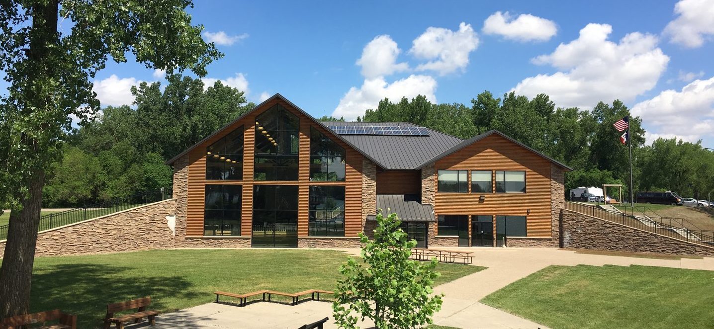
Lewis and Clark State Park, Park Loop, Onawa, IA, USA
Distance: 7.42 mi (straight line)
Museums and Interpretive Centers Outdoor Experiences LC Features
View Listing
Village of Homer, John Street, Homer, NE 68030, United States
Distance: 19.34 mi (straight line)
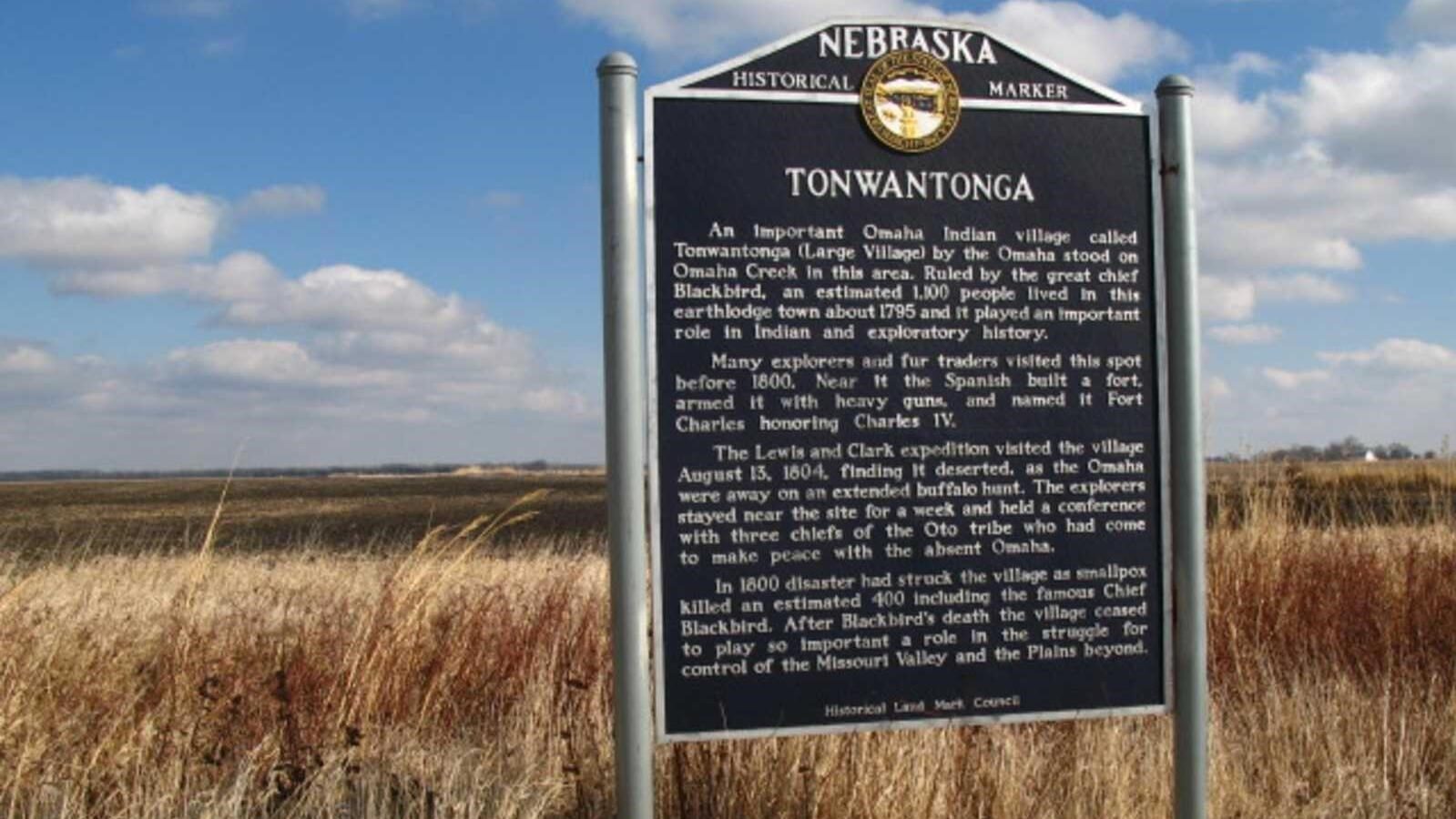
tonwantonga historical marker nebraska
Distance: 20.74 mi (straight line)


Mid America Museum of Aviation and Transportation, Expedition Court, Sioux City, IA, USA
Distance: 23.39 mi (straight line)
Museums and Interpretive Centers
View Listing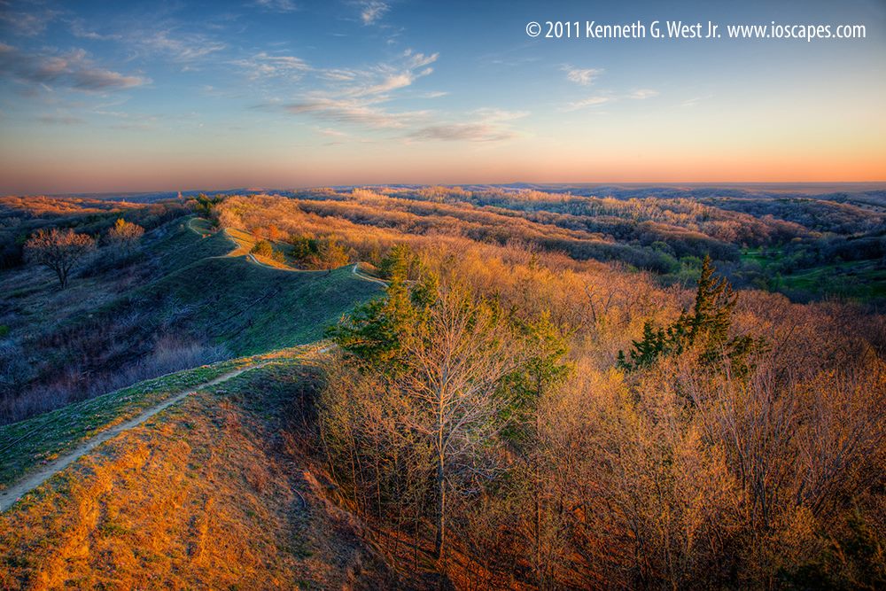
Little Sioux, Iowa, USA
Distance: 23.60 mi (straight line)
Outdoor Experiences Walks and Hikes Cultural Districts
View Listing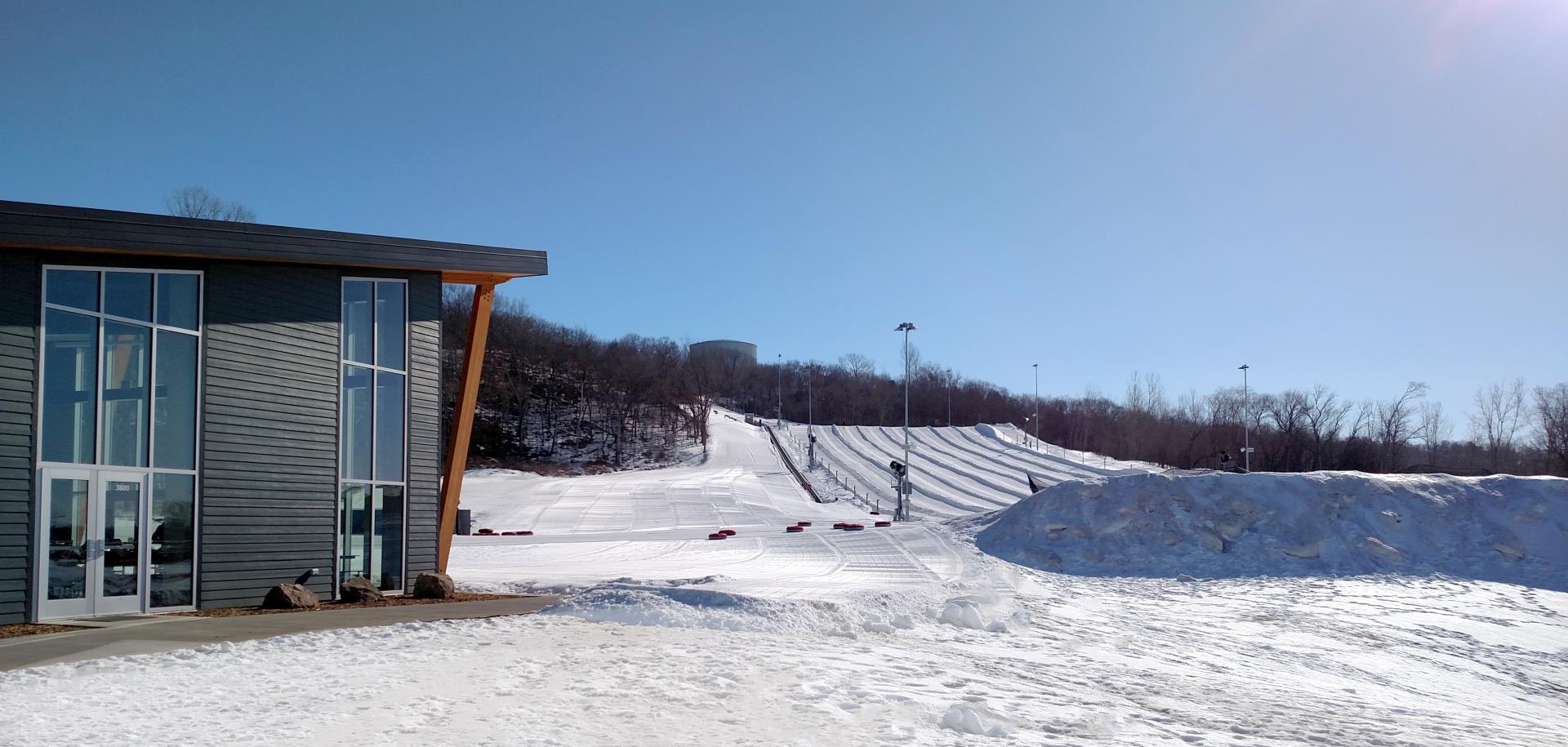
Cone Park, 3800 Line Dr, Sioux City, IA 51106, USA
Distance: 25.18 mi (straight line)
Outdoor Experiences Walks and Hikes Fun and Sports
View Listing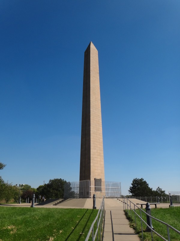
Sergeant Floyd Monument, South Lewis Boulevard, Sioux City, IA, USA
Distance: 26.71 mi (straight line)
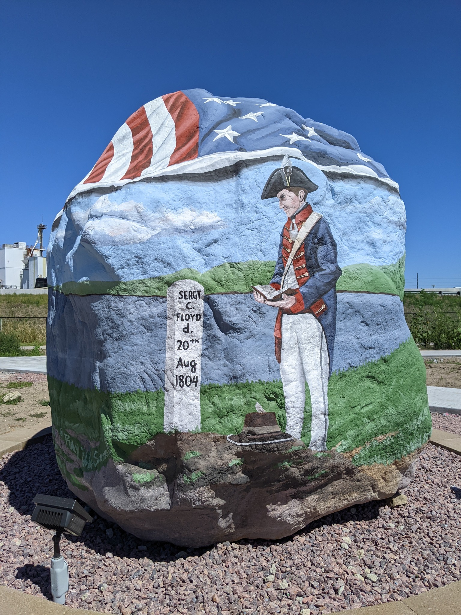
1106 Gordon Dr, Sioux City, IA 51101, USA
Distance: 28.42 mi (straight line)
General History Outdoor Experiences Viewpoints
View Listing
2610 Gordon Dr, Sioux City, IA 51106, USA
Distance: 28.57 mi (straight line)
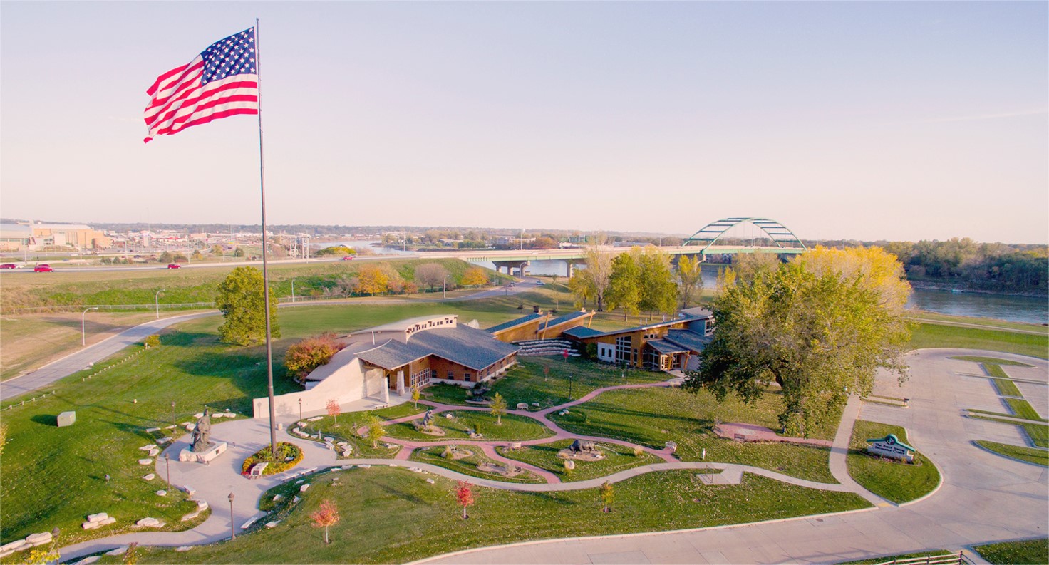
Lewis & Clark Interpretive Center, Larsen Park Road, Sioux City, IA, USA
Distance: 28.97 mi (straight line)
Museums and Interpretive Centers LC Features
View Listing
225 Nebraska St, Sioux City, IA 51101, USA
Distance: 29.01 mi (straight line)
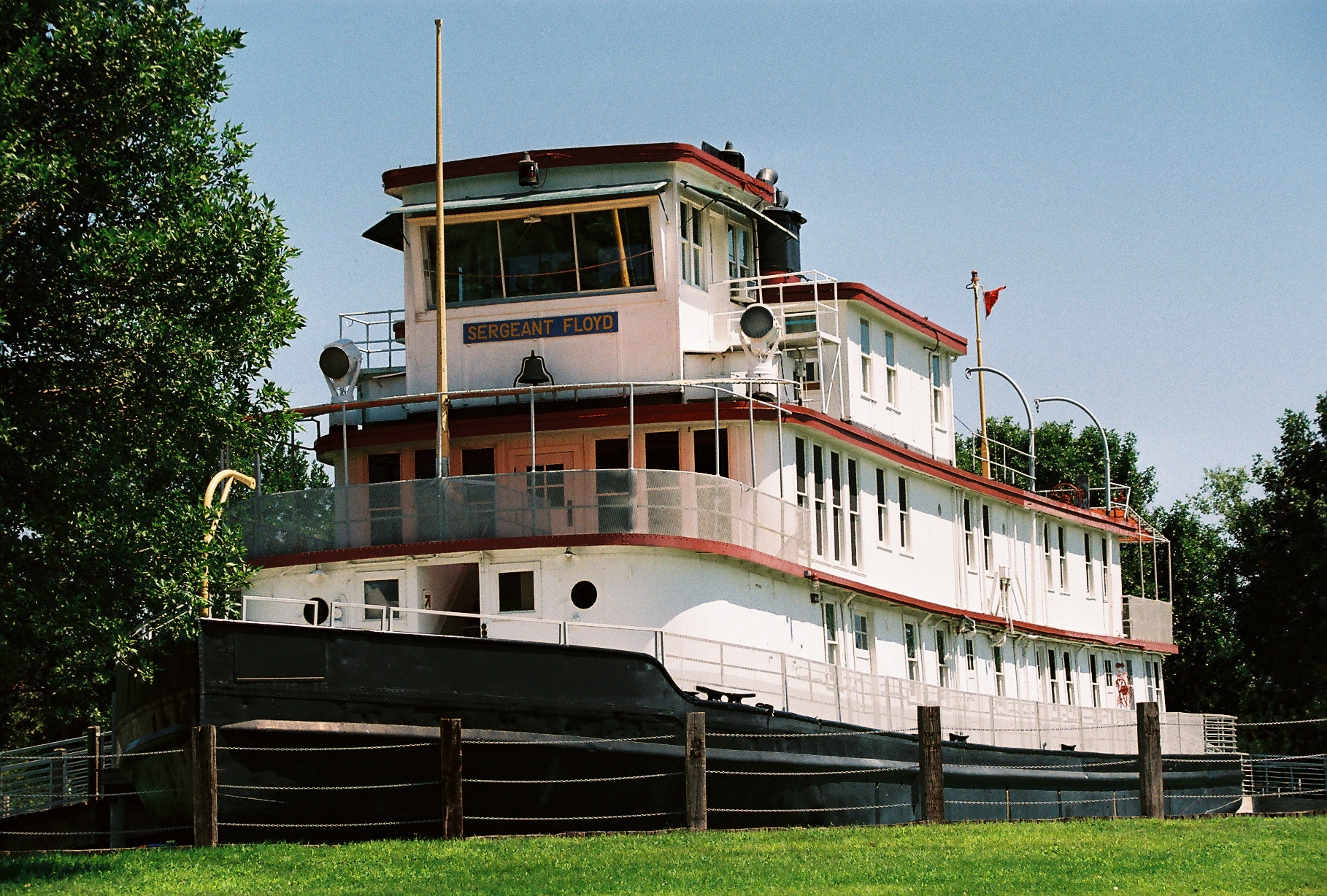
Sergeant Floyd River Museum, Larsen Park Road, Sioux City, IA, USA
Distance: 29.05 mi (straight line)
Museums and Interpretive Centers Guided Tours LC Features
View Listing
600 4th St #320, Sioux City, IA 51101, USA
Distance: 29.08 mi (straight line)

Sioux City Public Museum, 4th Street, Sioux City, IA, USA
Distance: 29.14 mi (straight line)
Museums and Interpretive Centers Guided Tours
View Listing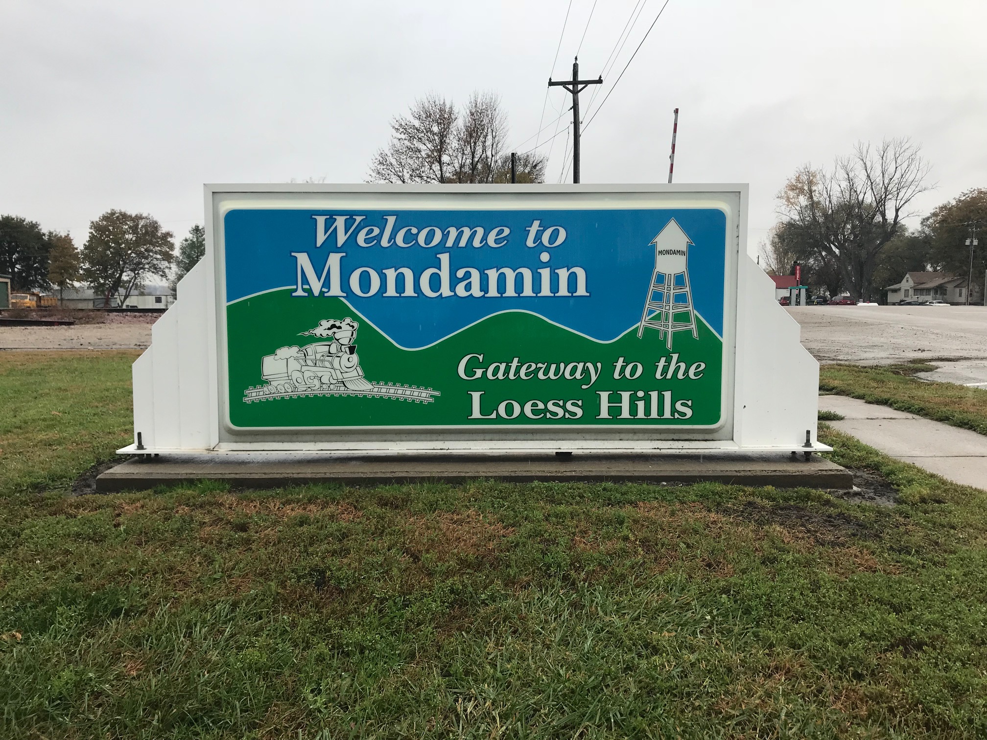
Mondamin, Iowa, USA
Distance: 29.23 mi (straight line)
Outdoor Experiences Walks and Hikes
View ListingOur bi-weekly newsletter provides news, history, and information for those interested in traveling along along the Lewis & Clark Trail.