Arrow Rock State Historic Site
Arrow Rock Missouri
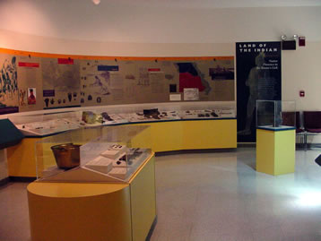
The Arrow Rock State Historic Site visitors’ center opened in 1991 and features nearly 9,000 square feet of exhibit space. The center interprets the history of Arrow Rock and the central Missouri region historically known as “Boone’s Lick Country.” You can watch a 20-minute video “Arrow Rock: Frontier Town of the Boone’s Lick” an introduction and overview of the community. Historical and state park related souvenirs and clothing items are available at the visitor center gift shop.
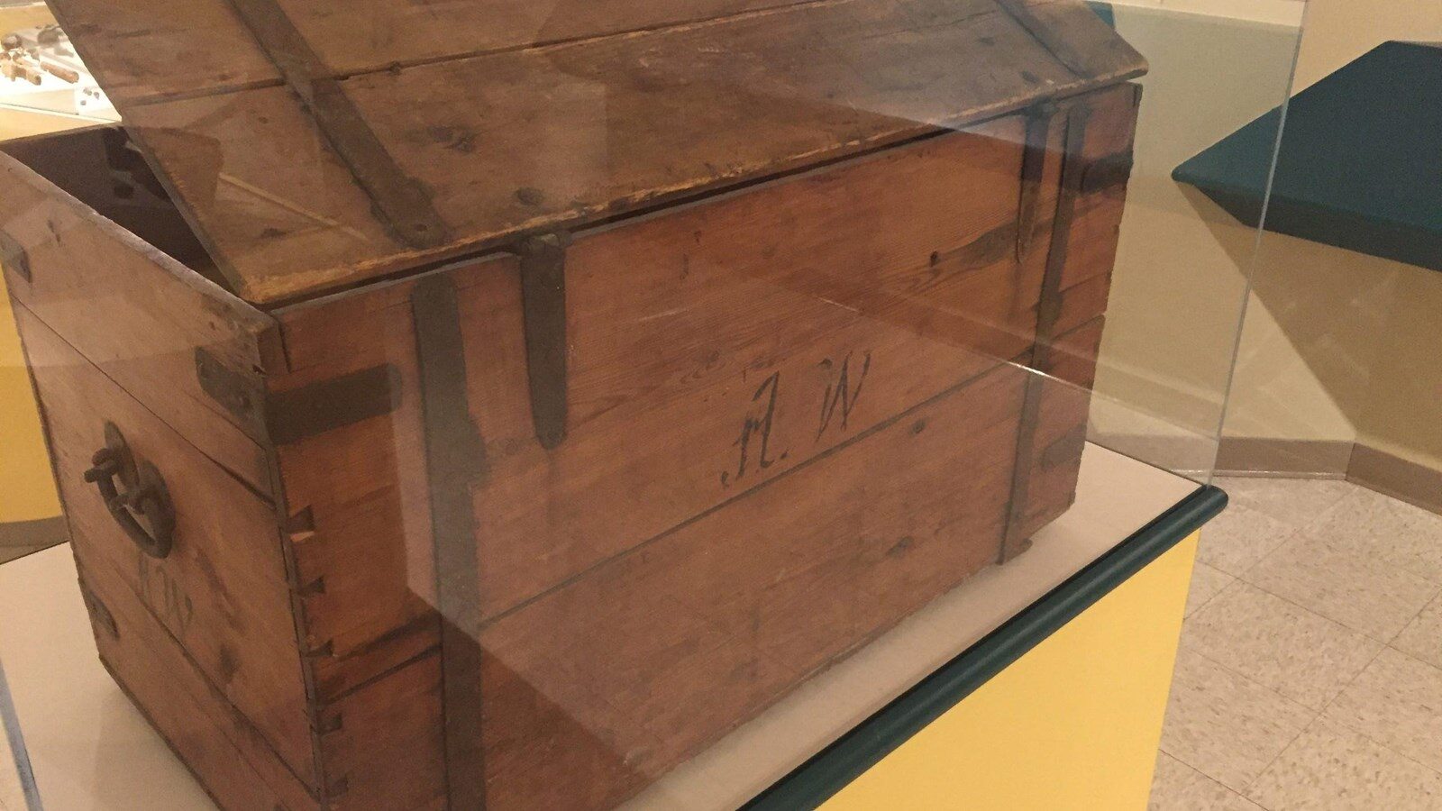
A wooden trunk with the initials A.W. is believed to be that of Alexander Willard, one of the blacksmiths and gunsmiths of the Corps of Discovery. The trunk was purchased from Willard’s great-great-great grandson in June 2011.
The visitor center is a block-and-a-half south of Main Street. The parking lot entry road is located on Highway 41, one-quarter mile south of Arrow Rock. Site offices are located in the visitor center.
Exhibits are chronologically arranged and features artifacts pertaining to local history:
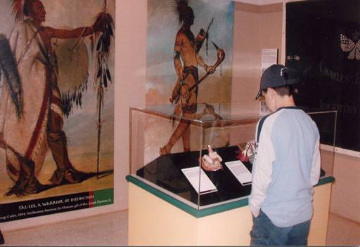
Native American Presence — focusing on the Osage and Missouris tribes.
Waterway West — the Louisiana Purchase and the Lewis and Clark Expedition, 1803 to 1806
War of 1812, Settlement and Conflict in the Boone’s Lick — the clash between white settlers and American Indians from 1808 to 1815
Settling the Boone’s Lick, Town Building on the Missouri Frontier — town founding and the massive migration from the upper South to the area between 1815 and 1830
Agriculture — agricultural techniques and innovations and the use of slaves on hemp and tobacco plantations, circa 1816 to 1861
Rivers and Roads, Moving Passengers and Produce in the Boone’s Lick — Missouri River commerce and forms of overland transportation
Westward the Star of Empire, the Boone’s Lick and the Santa Fe Trade — the beginning of trade with Mexico through the war with Mexico, 1821 to 1848
George Caleb Bingham — the life and artwork of Missouri’s most famous artist and Arrow Rock’s most famous resident. Several original portraits and prints are featured
Troubled Times, the Civil War — 1861 to 1865
Slavery, Racism, Violence: Justice and the Constitution — the black experience in the Boone’s Lick from 1865 to 1955
Arrow Rock, Preserving a Monument of the Boone’s Lick — early efforts to preserve and interpret the town beginning in 1912 and through to the present
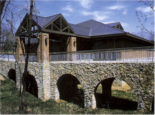
Arrow Rock State Historic Site offers basic, electric and sewer/electric/water (1) campsites and a special-use camping area. Shower facilities are available. All sites are in shade at least part of the day. The campground features first-come, first served campsites or you can reserve a site in advance. Reservable sites may be available on a day-by-day basis if the site is not reserved. Before occupying a site, check with the campground host or park staff or follow the directions on the posted card. Potable water stations are available throughout the campground and a trailer dump station is available. During the off-season (Nov. 1 through March 31), potable water, shower facilities and firewood are not available. Campers planning to carry in firewood must comply with current firewood advisories. A mile and half hiking trail loops around the site. Other features include a picnic area and Works Progress Administration (WPA)-era shelter house, playground and small fishing lake are near the campground.
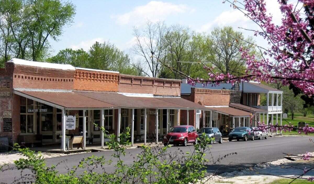
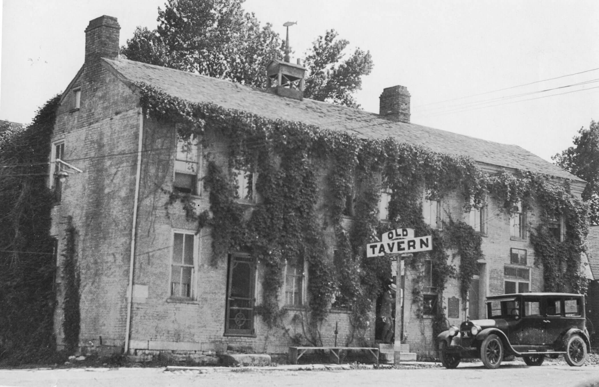
J Huston Tavern, Main Street, Arrow Rock, MO, USA
Distance: 0.07 mi (straight line)
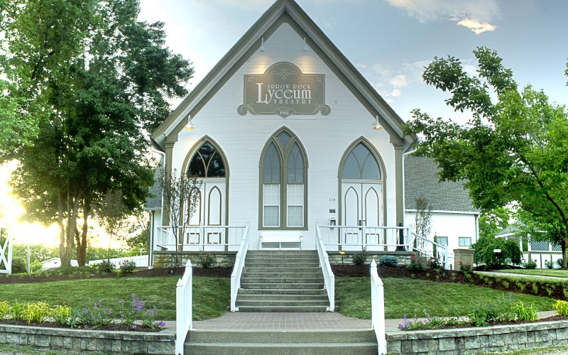
Lyceum Theatre, High Street, Arrow Rock, MO, USA
Distance: 0.17 mi (straight line)
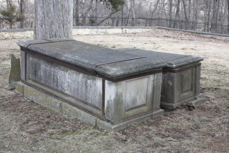
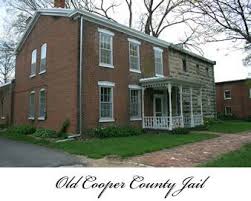
Sappington Cemetery State Historic Site, County Road AA, Nelson, MO, USA
Distance: 4.12 mi (straight line)
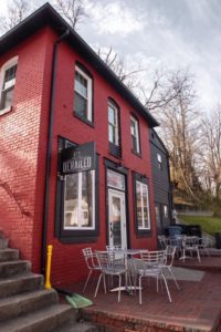
Derailed Coffee Bar & Cafe, West Spring Street, Boonville, MO, USA
Distance: 12.43 mi (straight line)
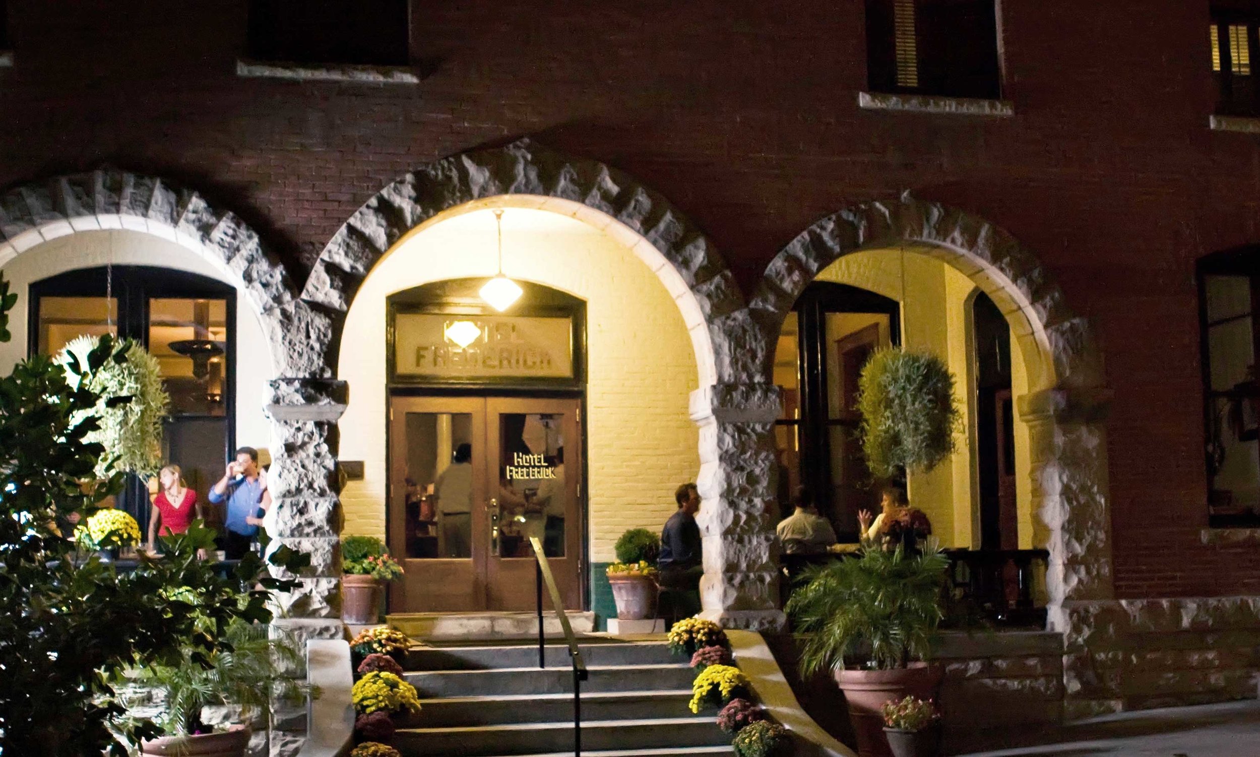
Hotel Frederick, High Street, Boonville, MO, USA
Distance: 12.58 mi (straight line)
614 East Morgan Street, Boonville, MO 65233, USA
Distance: 12.73 mi (straight line)
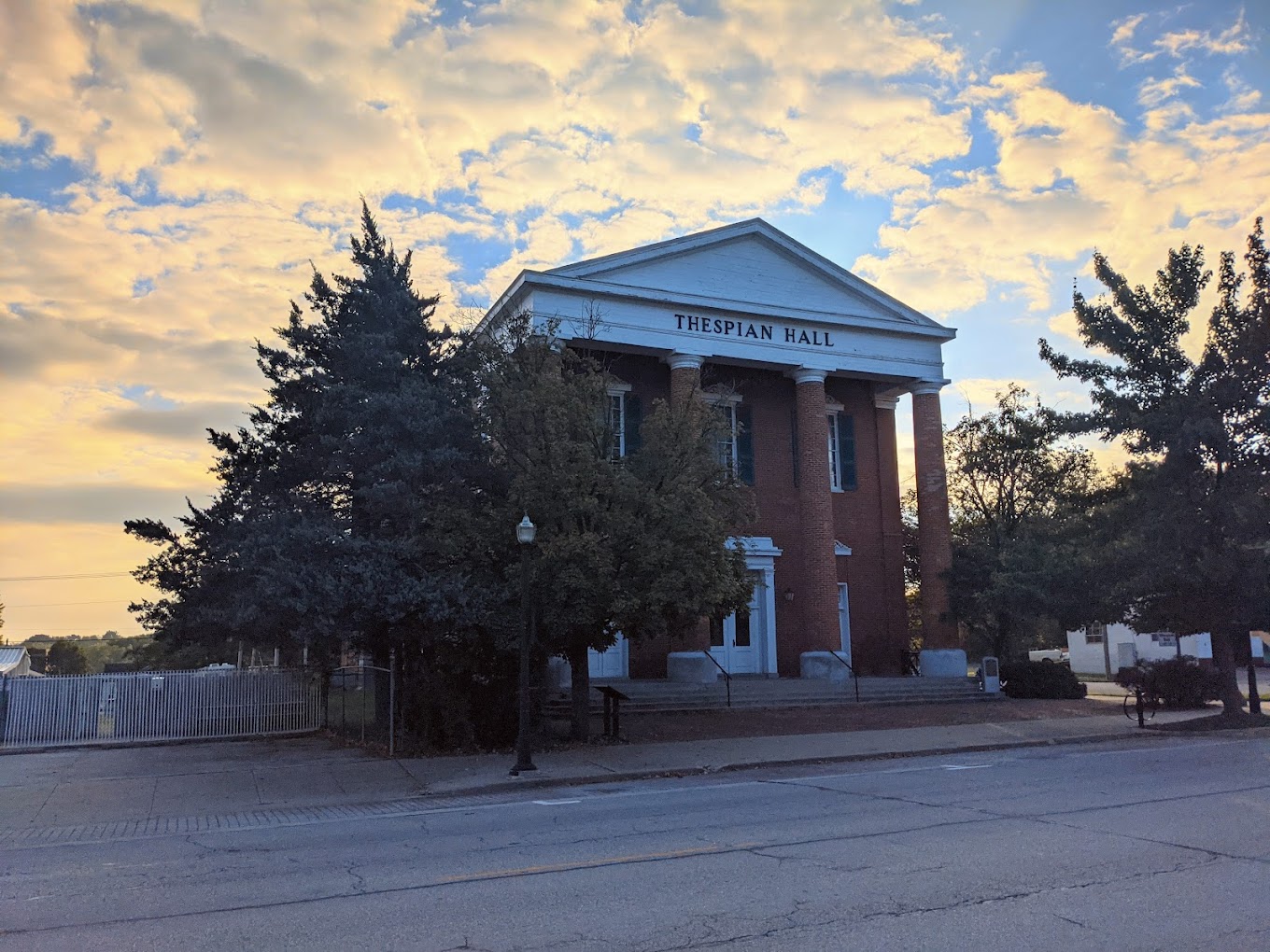
Thespian Hall, Main Street, Boonville, MO, USA
Distance: 12.78 mi (straight line)
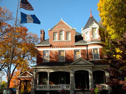
DAR Headquarters - Roslyn Heights, Main Street, Boonville, MO, USA
Distance: 12.95 mi (straight line)
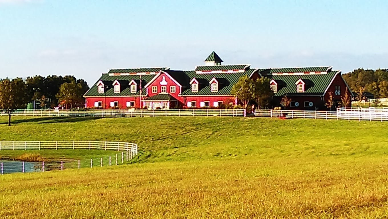
Warm Springs Ranch, Missouri 98, Boonville, MO, USA
Distance: 21.06 mi (straight line)
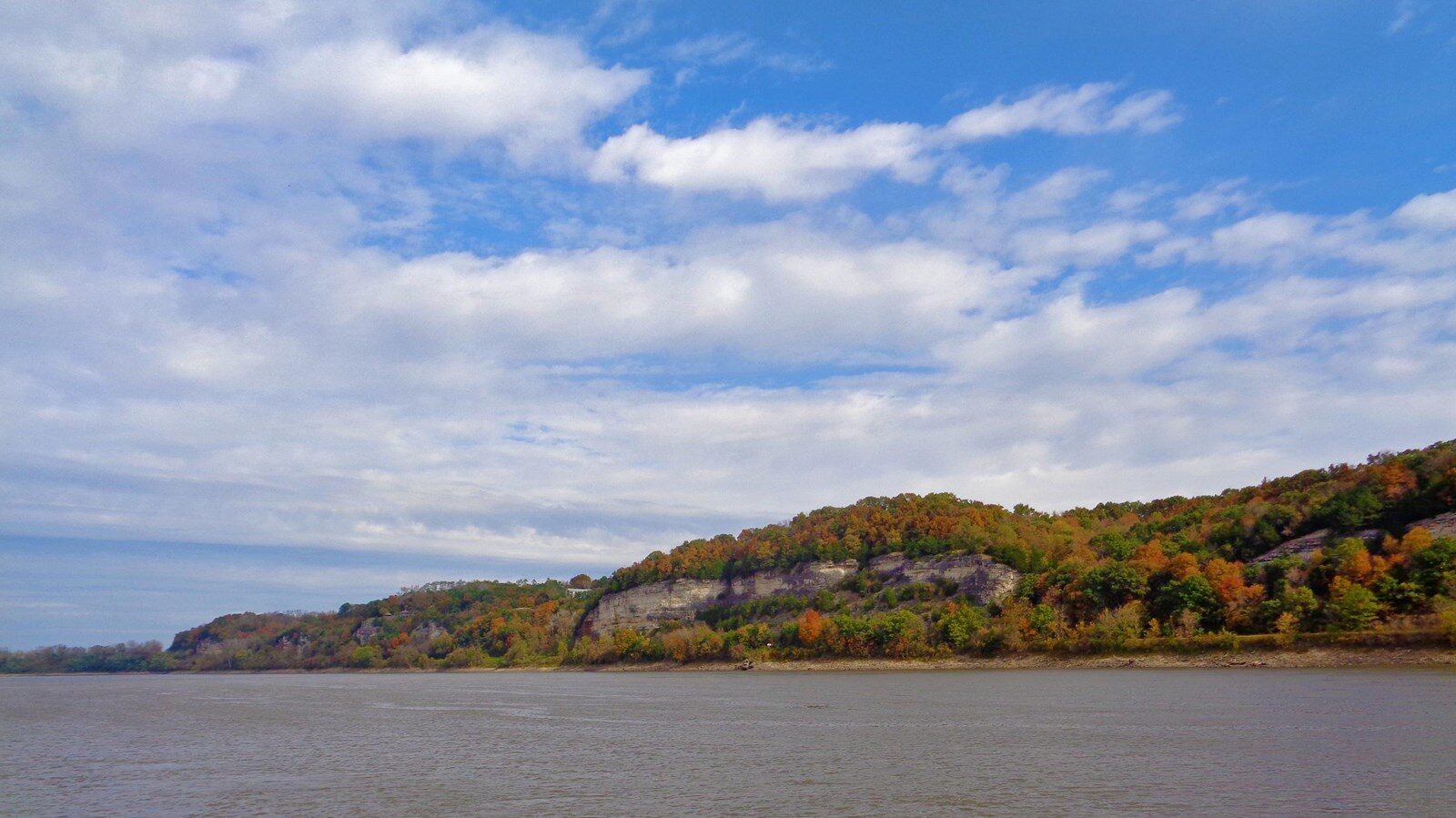
Katy Trail - Rocheport Tunnel, Katy Trail, Rocheport, MO 65279, USA
Distance: 21.16 mi (straight line)
Annie and Abel Van Meter State Park, Missouri 122, Miami, MO, USA
Distance: 21.35 mi (straight line)
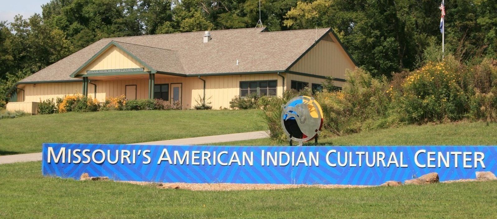
Museums and Interpretive Centers Tribal Experiences Outdoor Experiences

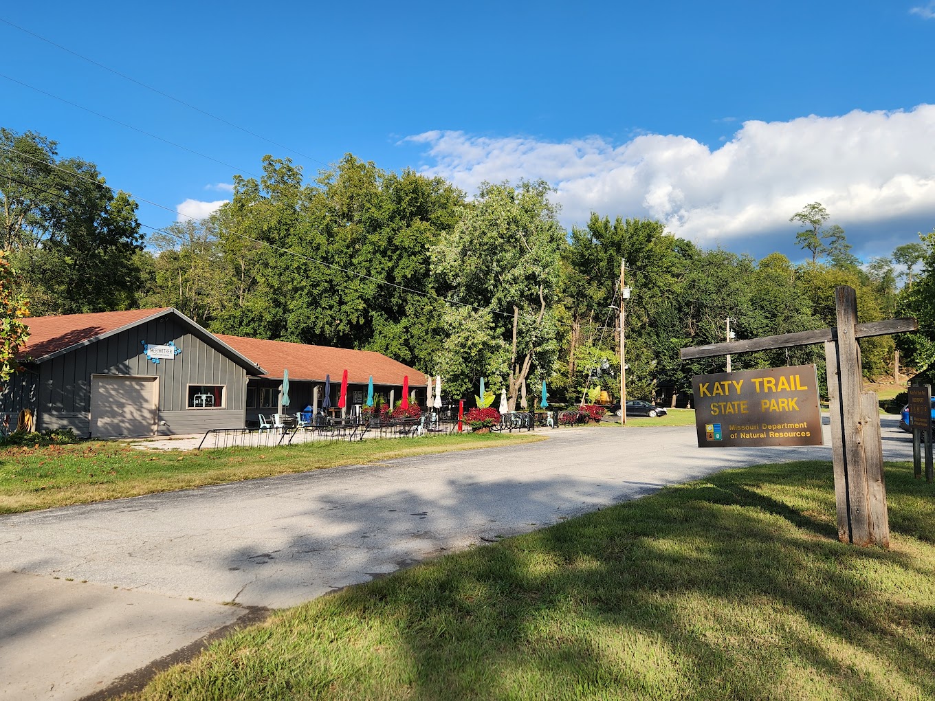
Meriwether Cafe and Bike Shop, 1st Street, Rocheport, MO, USA
Distance: 21.62 mi (straight line)
Bakeries Coffee Houses Food and Drinks Fun and Sports Outfitters
The Bistro on The Blufftop at Rocheport, West Highway Bb, Rocheport, MO, USA
Distance: 22.40 mi (straight line)
700 Madison St, De Witt, MO 64639, USA
Distance: 26.26 mi (straight line)
Our bi-weekly newsletter provides news, history, and information for those interested in traveling along along the Lewis & Clark Trail.


