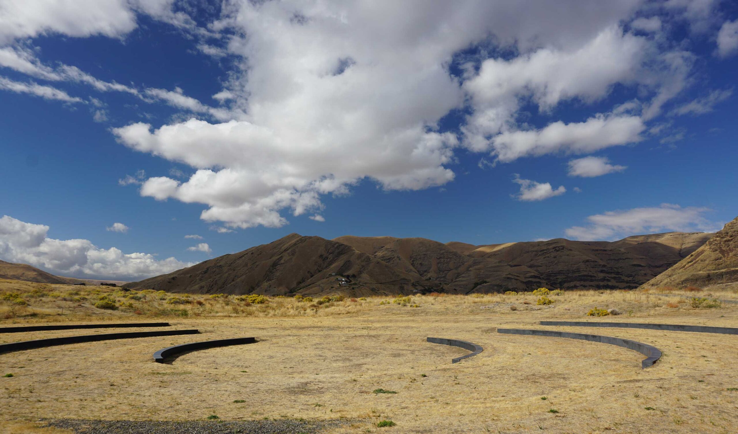
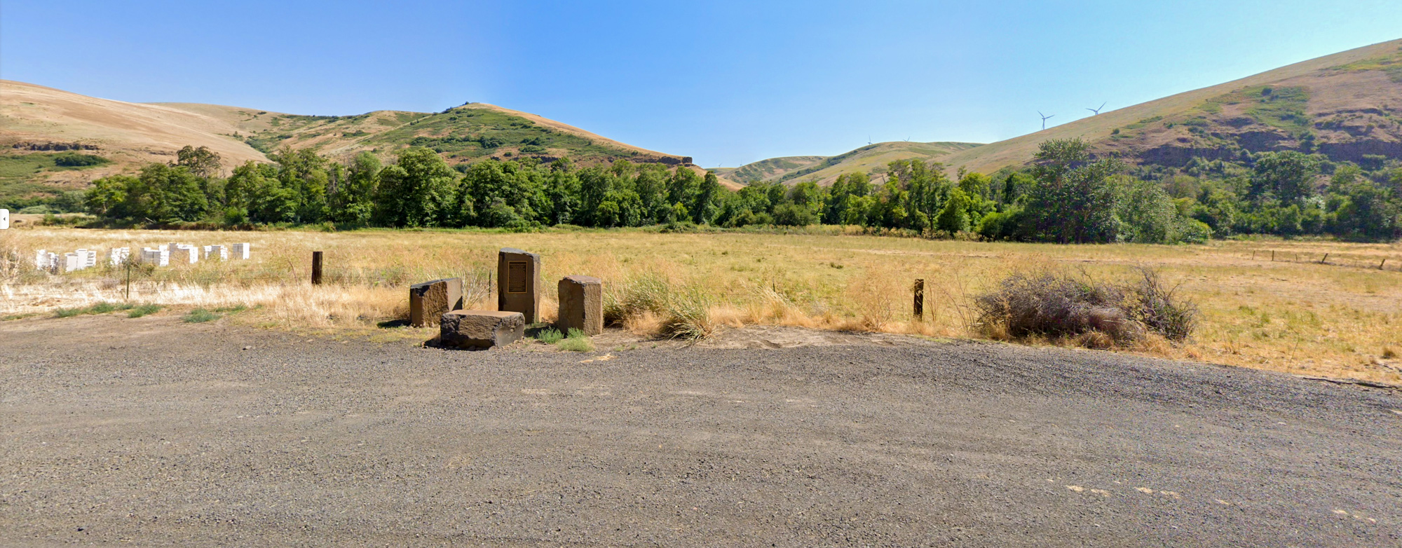
Ancient Crossroads at Pataha Creek
Washington 99347
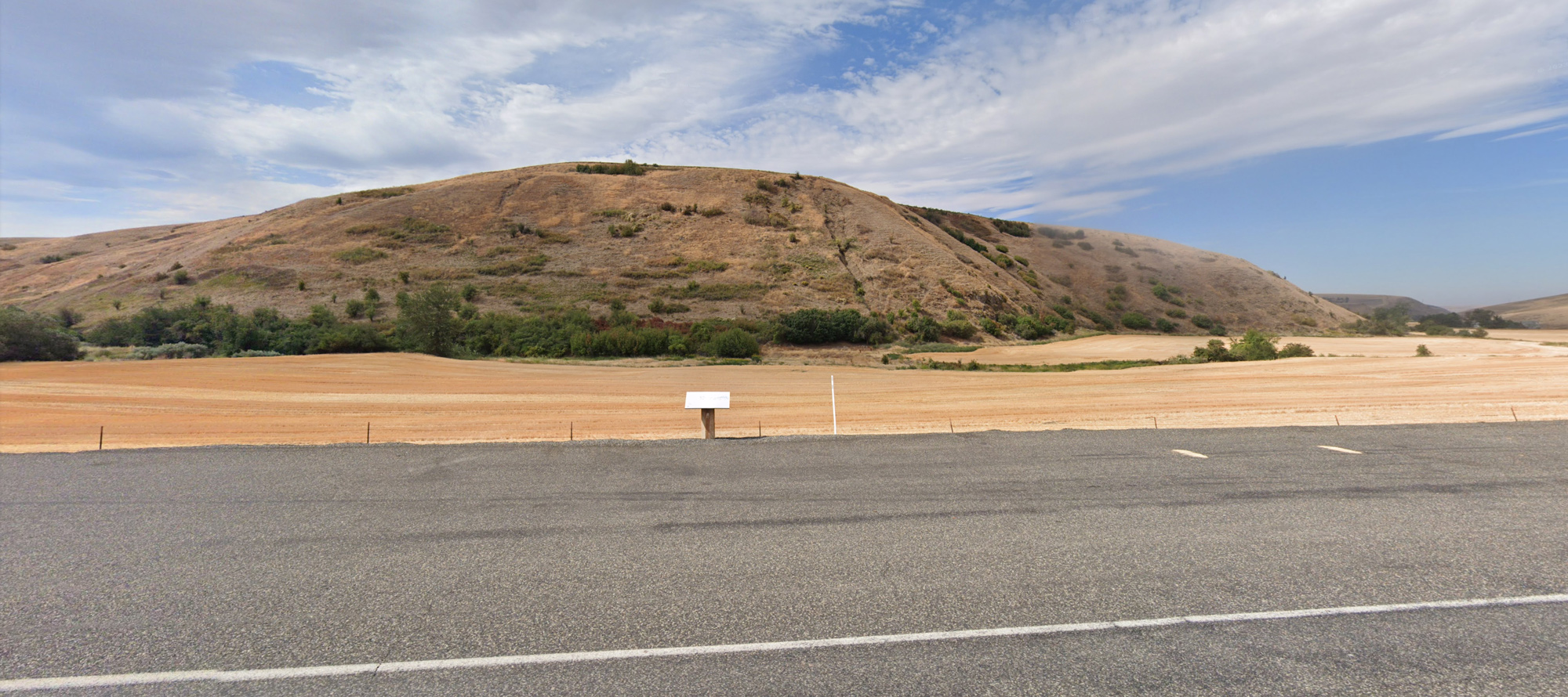
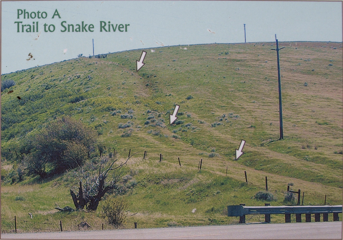
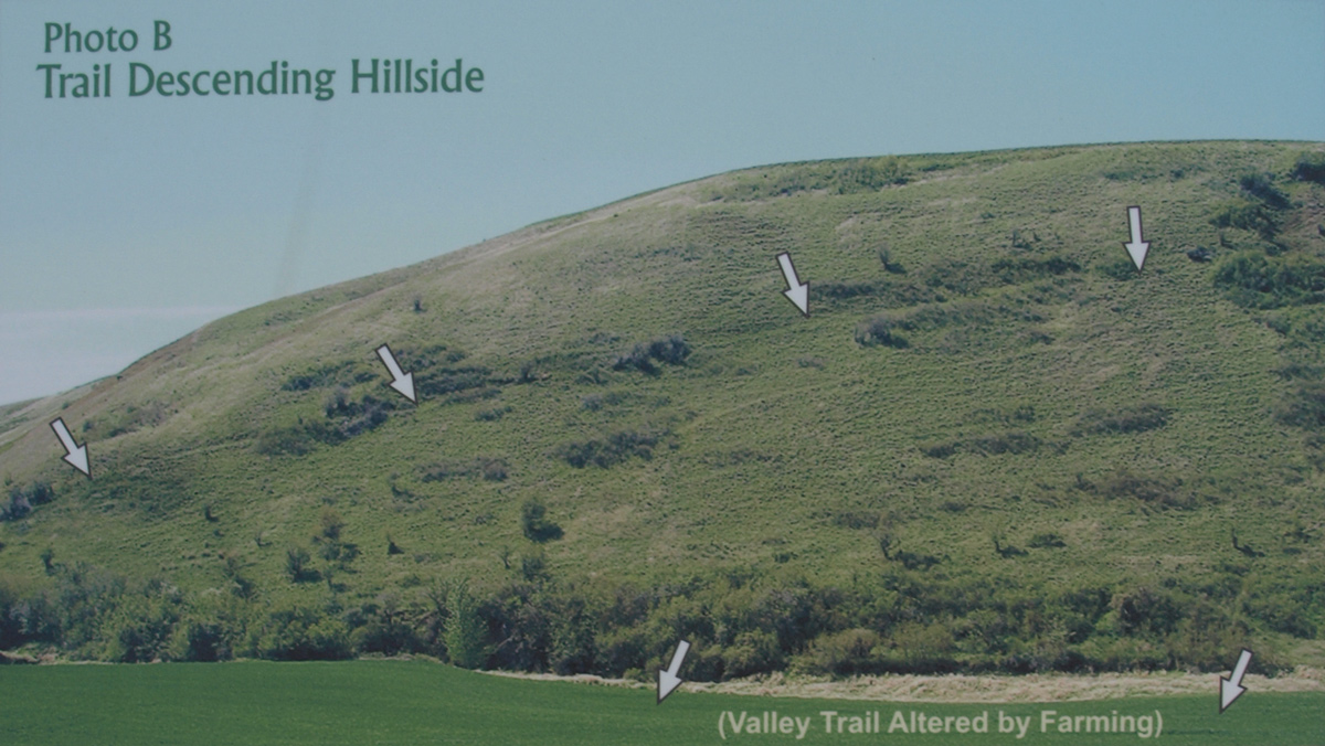
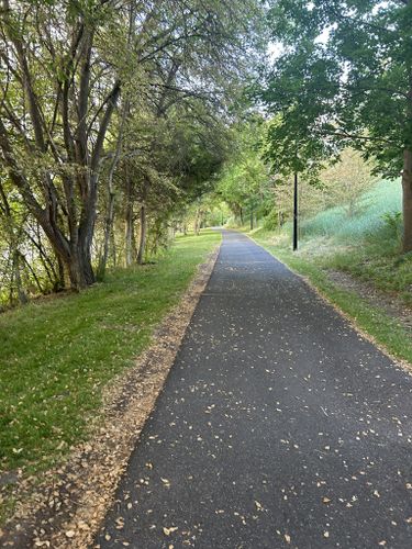
When the Lewis and Clark Expedition left the Columbia River on April 30, 1806, they were on that they termed ‘good roads’. They were following ancient travel ways as guided by their Native American hosts. At the Ancient Crossroads, two trails came together to form an area called “Three Forks”.
It was here on May 4, 1806 that the expedition left Pataha Creek for the trail leading them to the Snake River. Pataha is a Nimìipu (Nez Perce) placename perhaps originating from the words meaning “bush creek.” Ancient roads rarely followed along brushy creeks and rivers but instead traversed the ridgelines and plains above them. This is why the ‘Good Road’ climbed up to a plain and then descended to Alpowa Creek and the Snake River.
The pullout here has ample parking, but the trail traces are on private property.
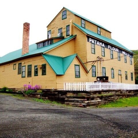
Pataha Flour Mills, Hutchens Hill Road, Pomeroy, WA, USA
Distance: 3.16 mi (straight line)
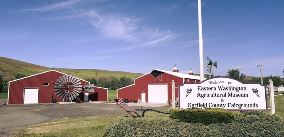
99 Fairgrounds Rd, Pomeroy, WA 99347, USA
Distance: 3.42 mi (straight line)
2425 Villard, Pomeroy, WA 99347, USA
Distance: 4.74 mi (straight line)
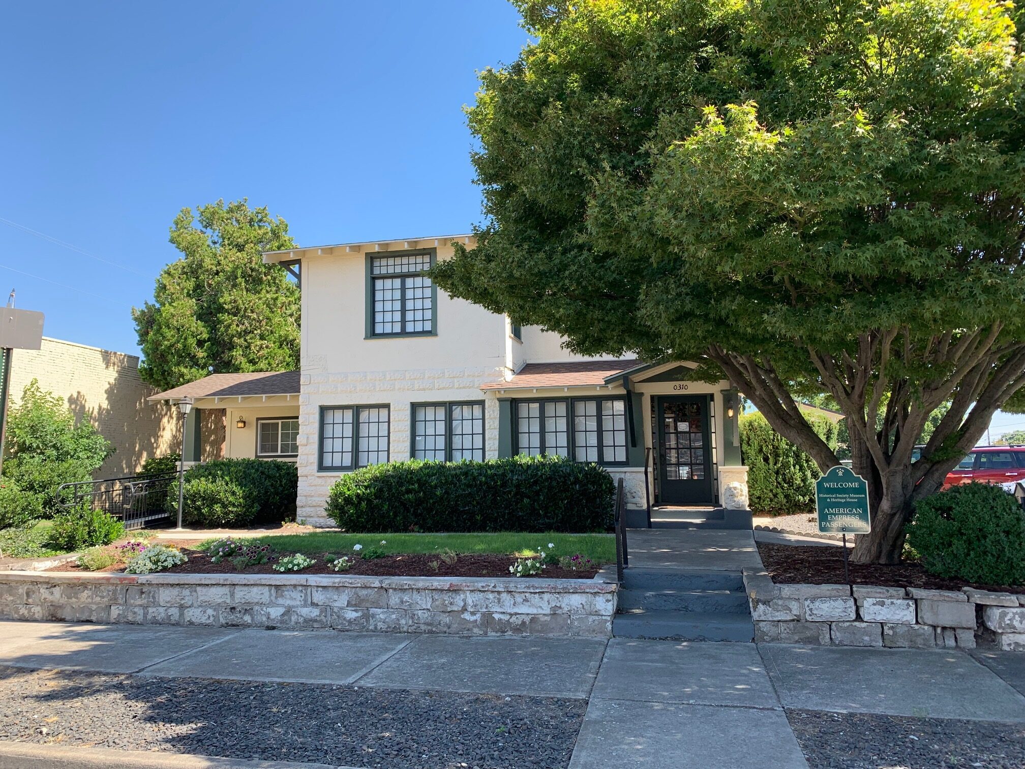
Garfield County Museum, Columbia Street, Pomeroy, WA, USA
Distance: 5.91 mi (straight line)
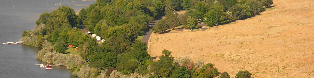
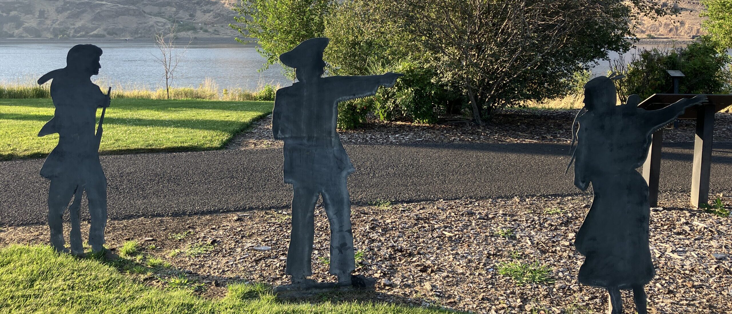
Chief Timothy Park, U.S. 12, Clarkston, WA, USA
Distance: 14.09 mi (straight line)
Chief Timothy Park, U.S. 12, Clarkston, WA, USA
Distance: 14.09 mi (straight line)
Kimooenim Creek Lunch Site, Washington, USA
Distance: 14.12 mi (straight line)
Red Wolf Golf Club, Elm Street, Clarkston, WA, USA
Distance: 19.30 mi (straight line)
Hells Canyon Resort, Port Drive, Clarkston, WA, USA
Distance: 19.63 mi (straight line)
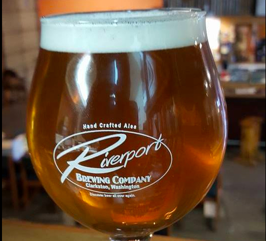
1010 Port Way, Clarkston, WA, USA
Distance: 20.35 mi (straight line)
150 9th Street, Clarkston, WA, USA
Distance: 20.55 mi (straight line)
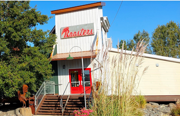
757 Port Way, Clarkston, WA 99403, USA
Distance: 20.63 mi (straight line)
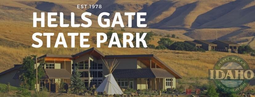
Lewis & Clark Discovery Center, Hells Gate Road, Lewiston, ID, USA
Distance: 21.11 mi (straight line)
Outdoor Experiences Museums and Interpretive Centers RV and Camping LC Features
2504 Riverside Dr, Clarkston, WA 99403, USA
Distance: 21.17 mi (straight line)
4832 Hells Gate Rd, Lewiston, ID 83501, USA
Distance: 21.22 mi (straight line)
201 1st St, Lewiston, ID 83501, USA
Distance: 21.33 mi (straight line)
Nez Perce County Historical Society, 3rd Street, Lewiston, ID, USA
Distance: 21.57 mi (straight line)
122 5th St, Lewiston, ID 83501, USA
Distance: 21.70 mi (straight line)
Our bi-weekly newsletter provides news, history, and information for those interested in traveling along along the Lewis & Clark Trail.


