
On Lewis and Clark’s return trip in May 1806, the captains were determined to collect the horses and saddles that they had left in the care of Twisted Hair. They headed up the Clearwater River accompanied by several helpful Nez Perce:
“we determined to pursue the rout recommended by the guide”
—Meriwether Lewis, May 7, 1806
This Inspiration Trip closely follows the trails they took to get to Kamiah [pronounced KAM-ee-eye] via Twisted Hair’s root-digging camp. It takes you along the scenic Clearwater River and then climbs up to the high prairies paralleling river.
At times, this trip utilizes well-maintained gravel roads that may not be accessible in winter. One can always travel from Lewiston to Kamiah on US Highway 12 if desired.
For more or the Lewis and Clark story here, see at our educational website:
You may also like our L&C Travel Magazine!
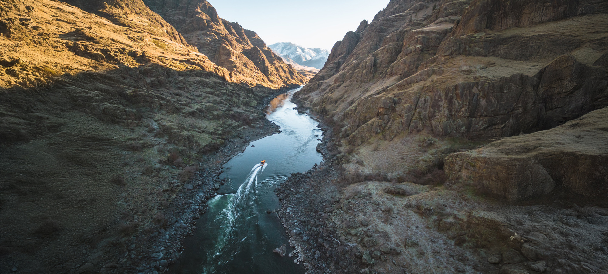
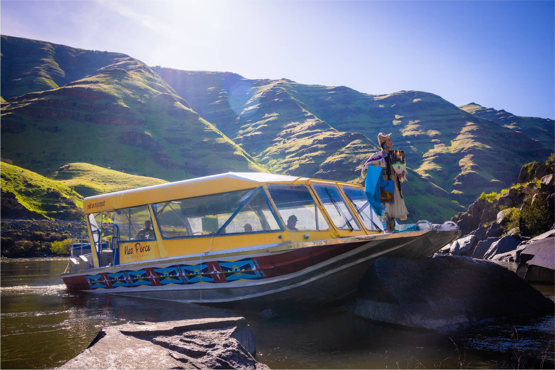
Hells Gate is what the name implies: the gateway to Hells Canyon, the deepest river gorge in North America. On the Lewis and Clark Expedition’s 1806 return trip, only Sgt. Ordway and two privates would see Hells Canyon at a small Nez Perce fishing camp several miles up the Snake River from Hells Gate. The Lewis & Clark Discovery Center and Hells Gate State Park are also near a former Nez Perce village located at Asotin [Nez Perce for eel] Creek across the Snake River.
Hells Canyon remains a remote location accessible only by boat, horse, and foot. Jet boat excursions typically depart from Hells Gate. The park also has a variety of camping options and lodging/food are available in nearby Lewiston and Clarkson.
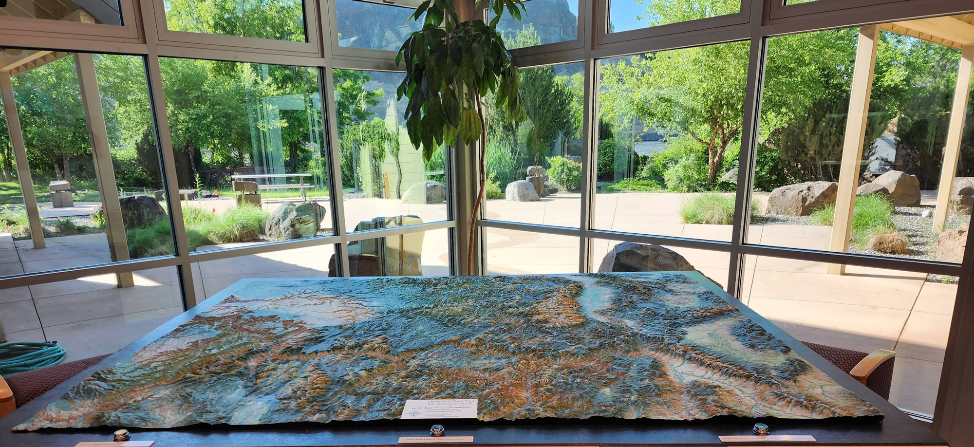
The Lewis & Clark Discovery Center displays extensive Lewis and Clark—and Nez Perce—exhibits including a film describing the journey of Lewis and Clark through Idaho. The center has a two-acre outdoor interpretive plaza on the banks of the rive featuring sculptures by artist Rip Caswell. And of course, visitors can immortalize their visit with a trip to the Lewis and Clark gift shop.
800 Main Street suite 4, Lewiston, ID 83501, U.S.
4 mi
View Listing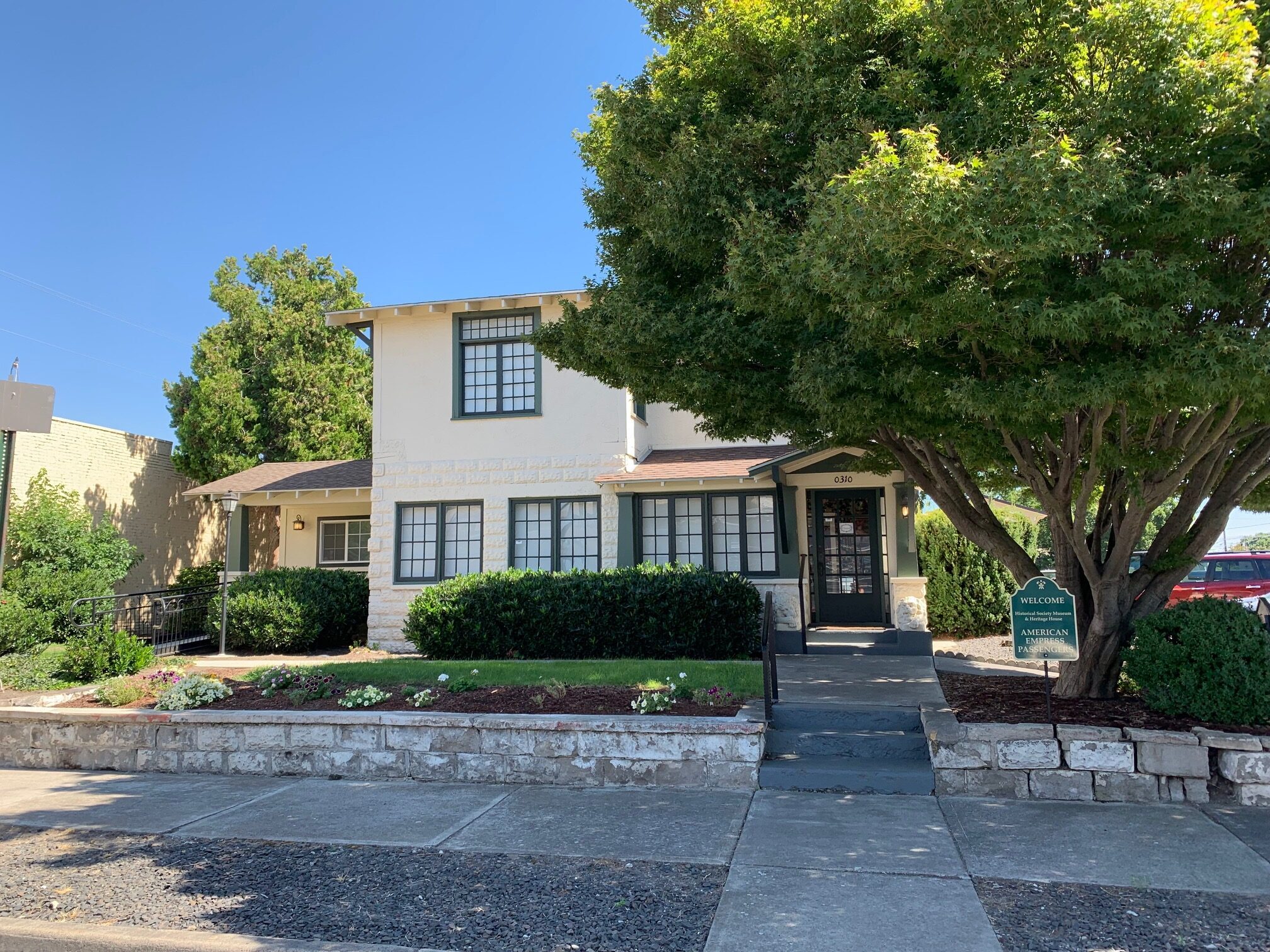
Nez Perce County Historical Society, 3rd Street, Lewiston, ID, USA
4 mi
View Listing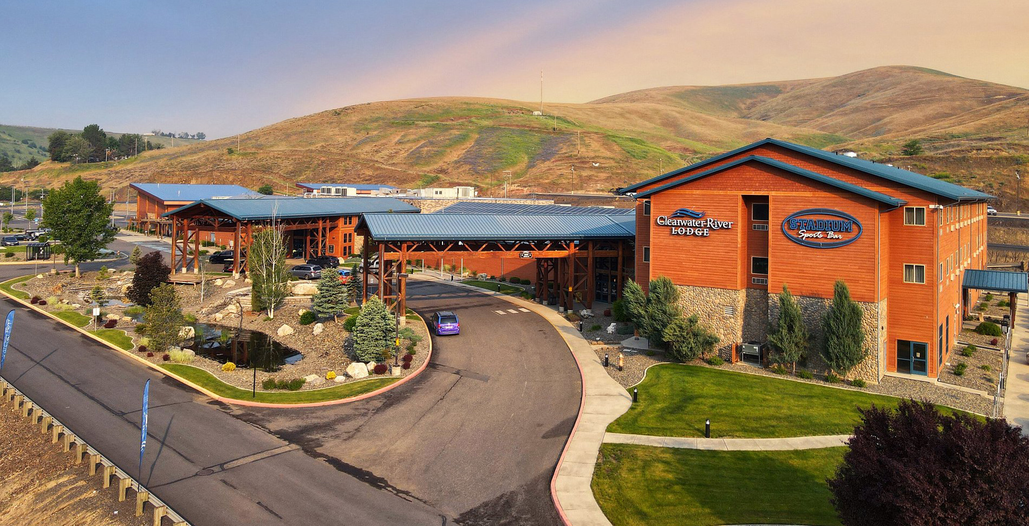
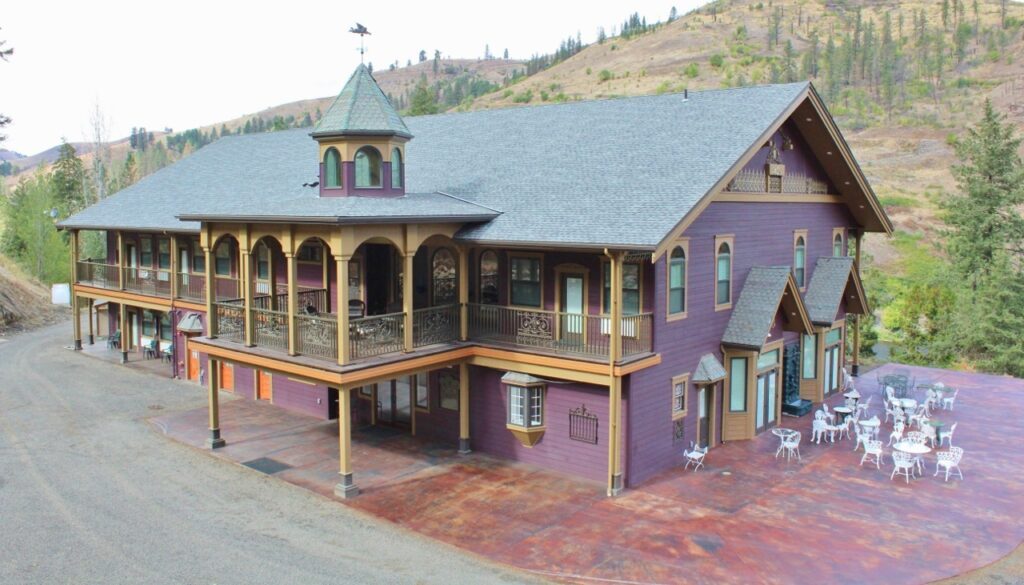
Owned and managed by the Nez Perce Tribe, Clearwater River Lodge offers all the amenities: rooms, full-service restaurant, casino, sports bar, and one of the oldest campgrounds in Idaho. The gift shop features local and Native art, jewelry, and quilts.
This is a great place to spend the night after a jet-boat trip up Hells Canyon or a day visiting Lewis and Clark public art in the Lewiston-Clarkston Valley. (For the later, see our Lewiston-Clarkston Art Tour.)
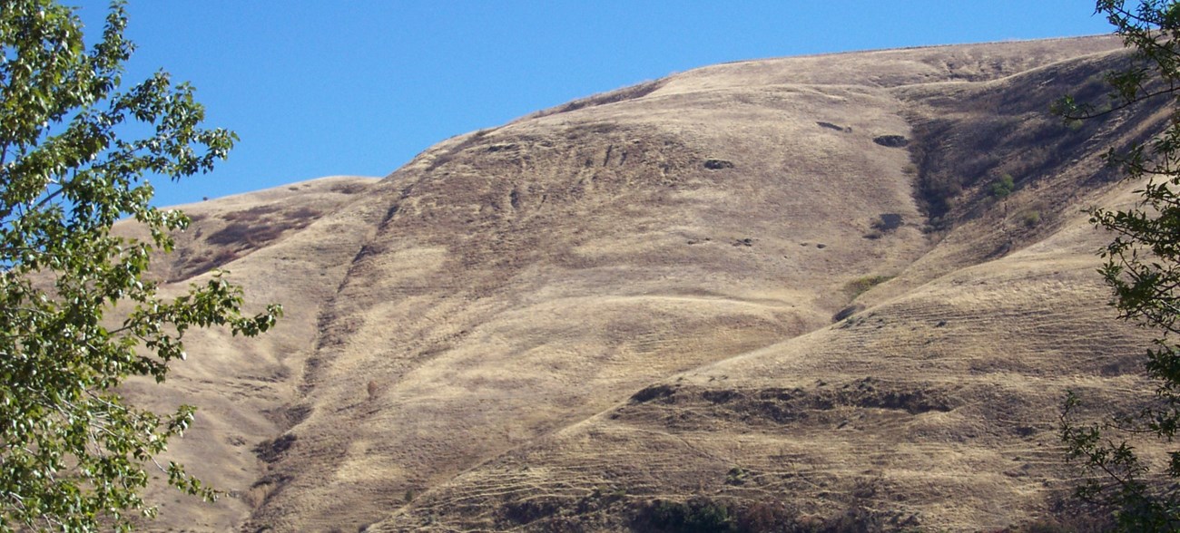
At the heart of every culture are the stories and places that sustain them as a people. For the nimíipuu (Nez Perce), these stories teach children about the landforms that surround them and help them learn their language, history, and culture. Coyote’s Fishnet is one such place.*
According to Nez Perce legend, Coyote long ago flung his fishing net onto a hillside above the Clearwater River where it can be seen today from a wide pull-out off Highway 12. There, a sign tells the legend, and two other signs tell of the Nez Perce village once here and of the Northwest Scenic Byway.
*from https://www.nps.gov/nepe/learn/historyculture/coyotes-fishnet-history.htm
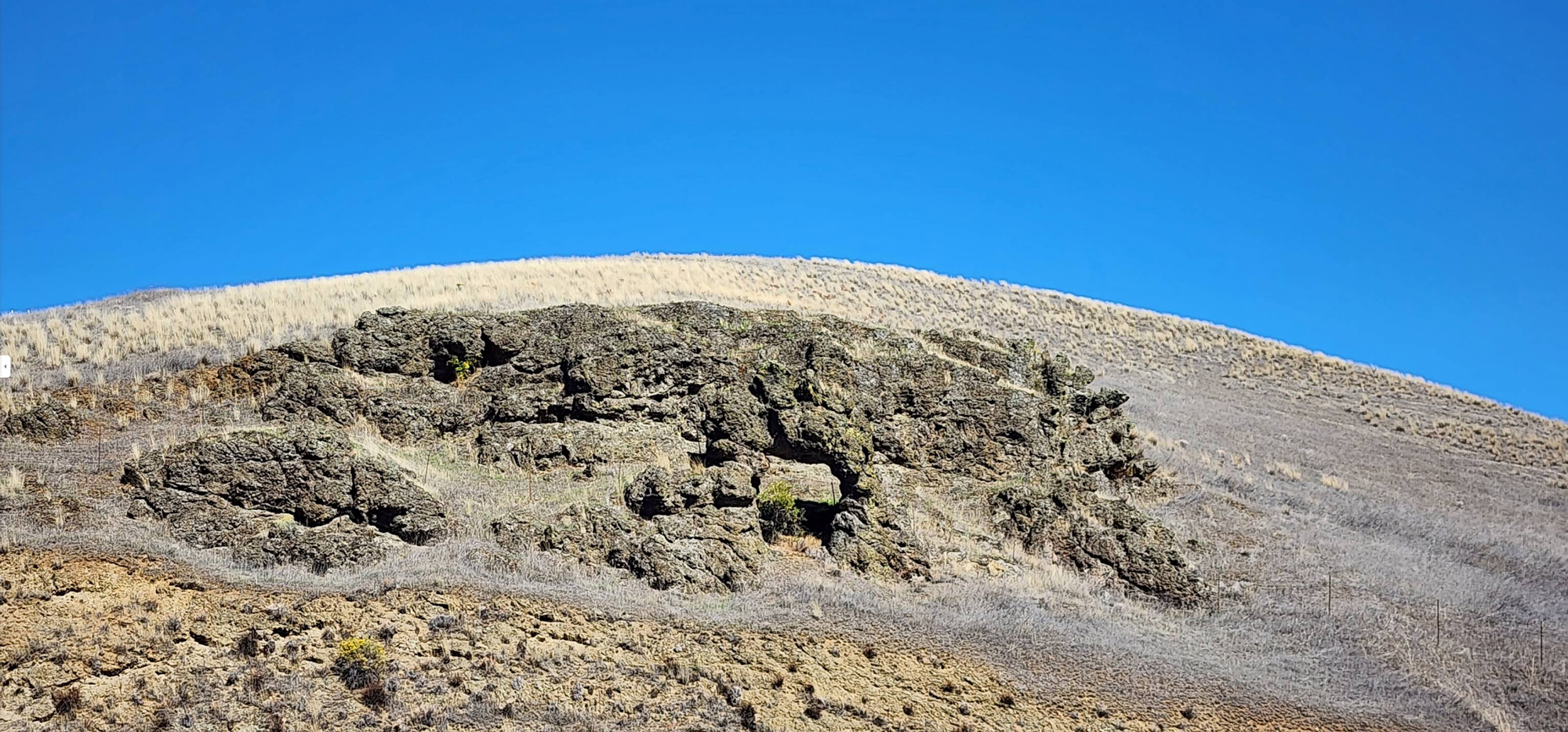
According to Nez Perce legend, Coyote turned Ant and Yellowjacket into a stone arch just as they arched their backs and locked jaws during a fight. A wide pull-out on Highway 12 enables the visitor to view this legendary rock formation.
Driving Tip: Before the US 95 bridge, follow the signs to Orofino. The pull-out is immediately after passing under the bridge.
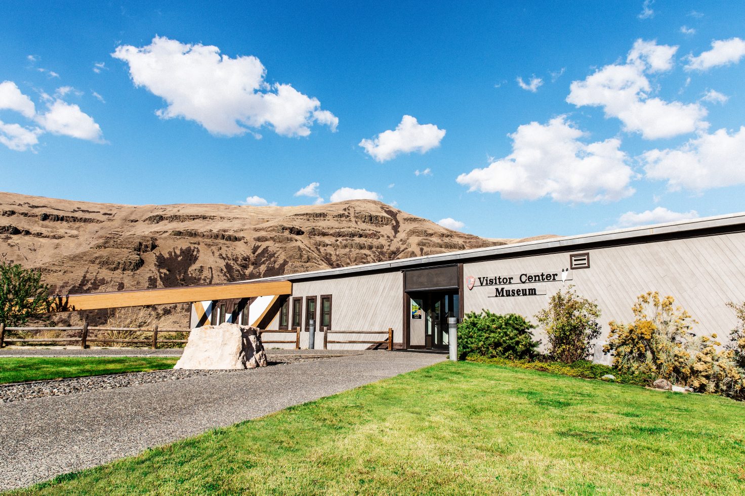
The Nez Perce National Historical Park Visitor Center in Spalding, Idaho features displays, priceless artifacts, and programs about the history of the Nez Perce people (nimíipuu). In 1836, the Nez Perce Indian Mission was established here by Reverend Henry Spalding who was the founder of Idaho’s first school. Expect to spend two to three hours exploring the center and old mission grounds.
Nez Perce National Historical Park Visitor Center, U.S. 95, Lapwai, ID, USA
0 mi
View Listing
Nez Perce National Historical Park Visitor Center, U.S. 95, Lapwai, ID, USA
0 mi
View Listing
Rivaura Estate Vineyard and Winery, Rivaura Lane, Juliaetta, ID, USA
3 mi
View Listing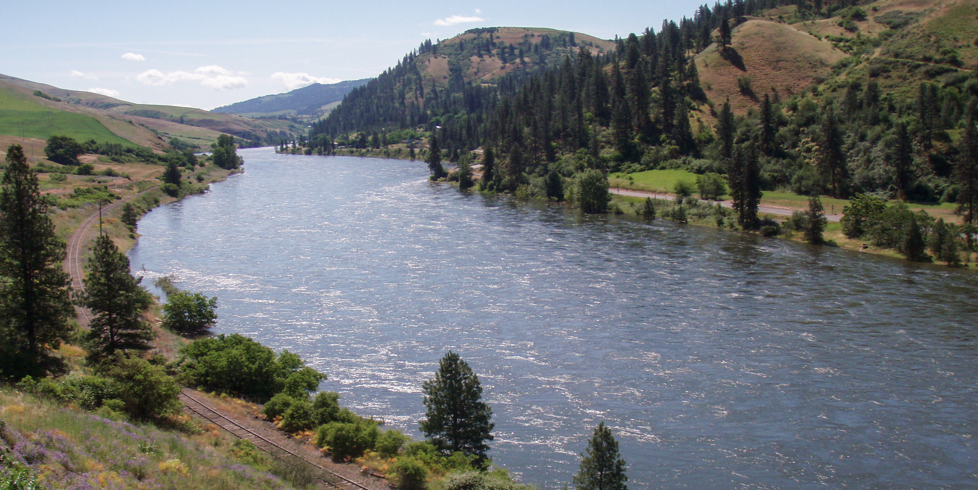
“This morning we collected our horses and set out early accompanyed by the brother of the twisted hair as a guide . . . we proceeded up the river 4 miles to a lodge of 6 families just below the entrance of a small creek, here our guide recommended our passing the river”
—Meriwether Lewis, May 7, 1806
The lodge mentioned by Lewis was likely at Bedrock Creek. Passing by this tiny stream will take you onto Cherrylane Road which follows the horse trail used by the Nez Perce and Expedition. At a viewpoint above Bedrock Creek, you can see where they crossed the river. The Expedition ferried their baggage in a canoe and swam the horses. The process took four hours.
Cherryland Road is a well-maintained gravel road with several stunning views of the Clearwater River canyon. On the other side of the river is the fast-paced, two-lane Highway 12. On this trip, the river is crossed via bridges at Cherrylane and Lenore.
“we left the river and asscended the hills to the wright which are here mountains high.”
—Meriwether Lewis, May 7, 1806
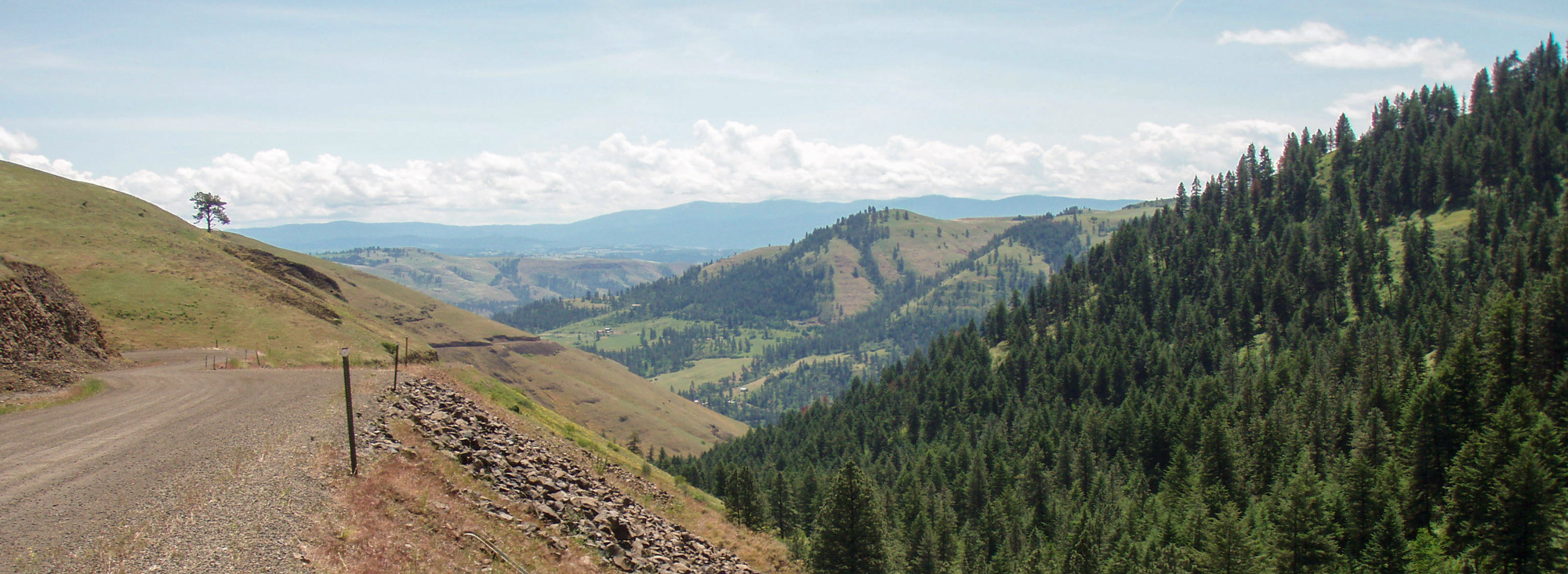
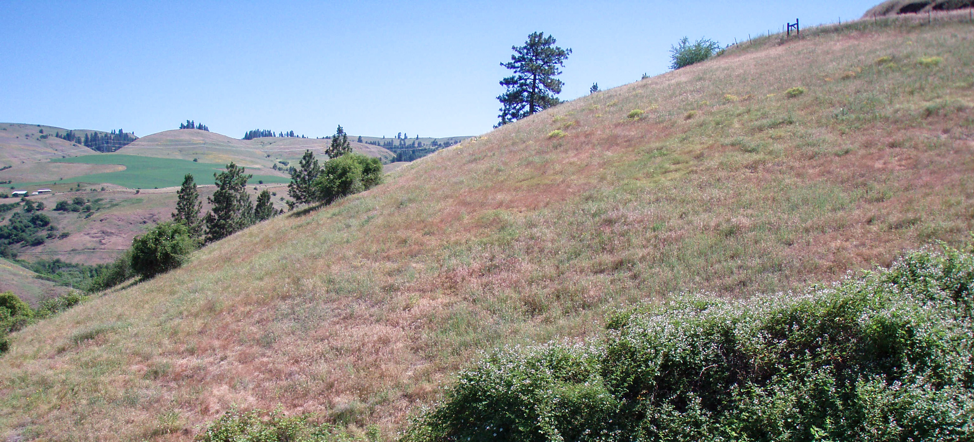
Present Everhardt Road takes the intrepid Lewis and Clark traveler roughly along the trail climbed by expedition and their guides in 1806. At the apex of this climb is Angel Ridge where one can see the “Spurs of the rocky Mountains” (Bitterroot Mountains) just like the expedition did that day. Angel Ridge road then descends to the Big Canyon floor at Peck, Idaho providing numerous viewpoints.
Note that Everhardt and Angel Ridge roads are well-maintained gravel roads.
“the road led us up a steep and high hill to a high and level plain mostly untimbered, through which we passed parrallel with the river about 4 miles when we met the Twisted hair”
—Meriwether Lewis, May 8, 1806
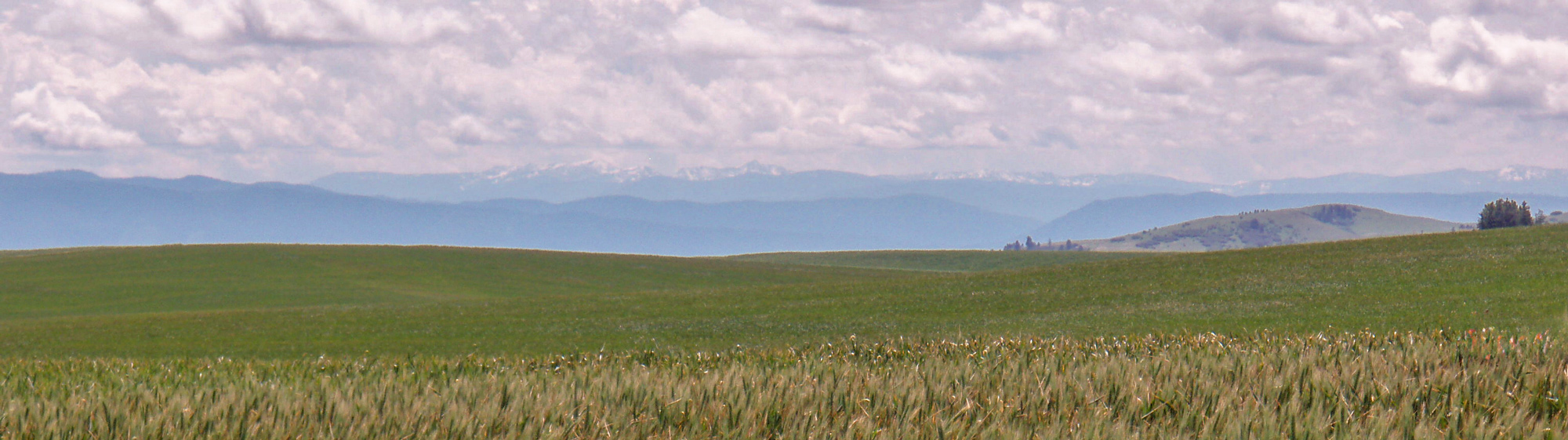
Intent on gathering their horses left last fall with Twisted Hair, the Expedition climbed out of Big Canyon to Camas Prairie and continued on the expansive and high Camas Prairie. Today’s Central Ridge Road roughly follows their trail and has stunning views of Big Canyon.
Central Ridge Road (gravel) terminates on paved Idaho State Highway 62 (pavement) which takes the traveler to Nezperce—a small town near Twisted Hair’s root-gathering camp. Near here, the expedition camped an extra night to secure the return of the horses and saddles.
Of Angel Ridge and the Camas Prairie, Lewis recorded:
“the soil is a dark rich loam [5] thickly covered with grass and herbatious plants which afford a delightfull pasture for horses. in short it is a beautifull fertile and picteresque country.”
Today, both ridges are still covered in lush grasses—the variety grown now being a commercial crop.
“This morning the snow continued falling ½ after 6 A. M. when it ceased, the air keen and cold, the snow 8 inches deep on the plain; we collected our horses and after taking a scant breakfast of roots we set out for the village of Tunnachemootoolt;”
—Meriwether Lewis, May 10, 1806
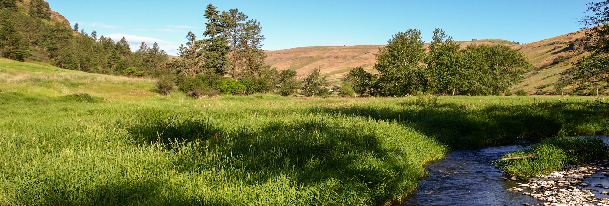
May snowstorms on the Camas Prairie are not uncommon, but just as the Expedition experienced, the snow turns over to rain as one descends to the Clearwater River. From present Nezperce, State Highway 162 will take you to a stunning overlook of Lawyer Canyon, and and then down to Kamiah.
A couple miles before Kamiah, the expedition stopped for a few days at in Lawyer Canyon:
“at 4 in the afternoon we decended the hills to Commearp Creek and arrived at the Village of Tunnachemootoolt [Broken Arm], the cheeif at whos lodge we had left a flag last fall. this flag was now displayed on a staff placed at no great distance from the lodge.”
—Meriwether Lewis
In the three days that followed, a significant council was held. It was also decided that the expedition should camp at an old village site near opposite Kamiah.
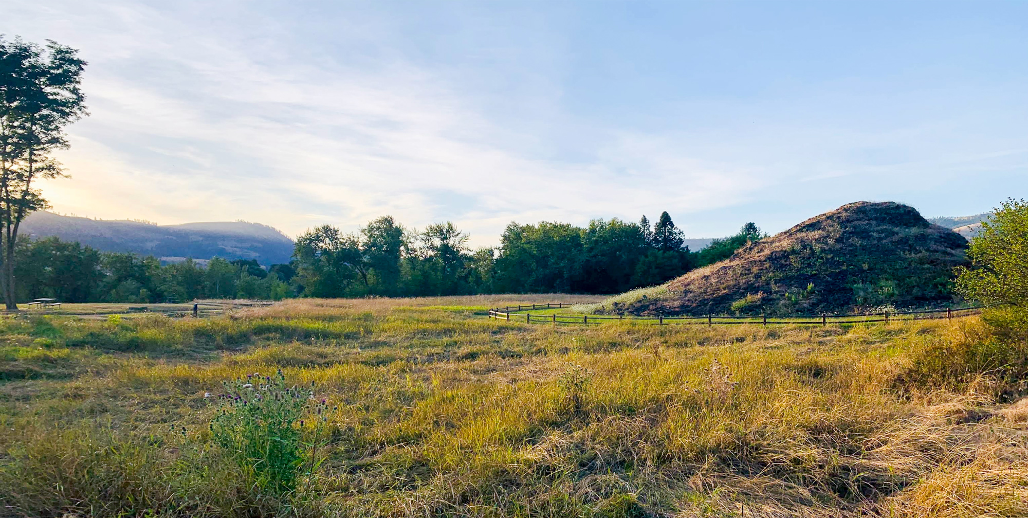
Just outside downtown Kamiah, the Heart of the Monster rests within present Nez Perce National Historic Park. “For the nimíipuu, or Nez Perce, the story of their people begins at this landmark. Here, Iceye’ye (coyote) killed a monster who was eating all of the animals.”
If one is to better understand the Nez Perce, then a visit to the Heart of the Monster is a must.
Nearby Kamiah offers lodging, food, camping, and more cultural experiences. Across the river is the Lewis and Clark Expedition’s Long Camp where they waited from May 14 to June 10 for mountain snows to melt. At the time of this writing, the Long Camp site is open to the public.
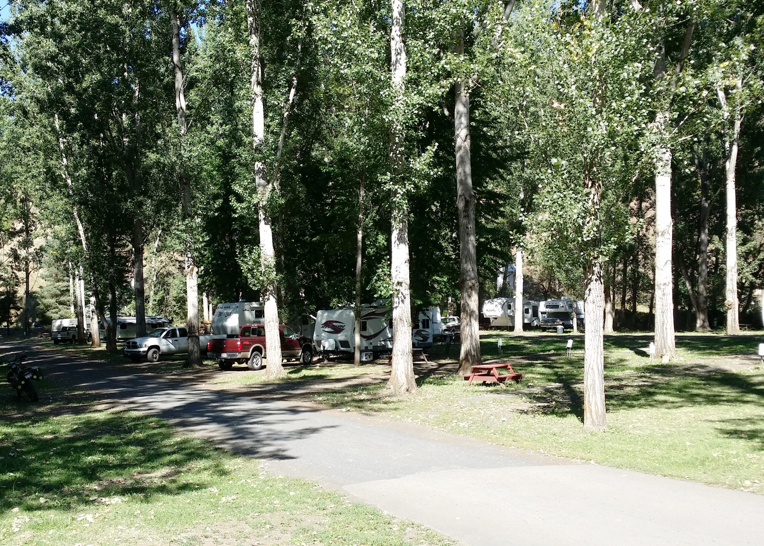
Kamiah / Clearwater River KOA Journey, U.S. 12, Kamiah, ID, USA
0 mi
View Listing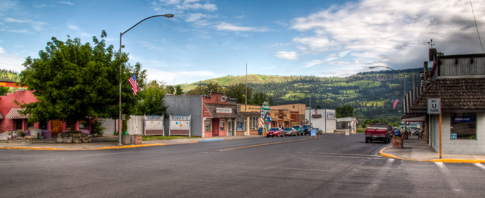
Our bi-weekly newsletter provides news, history, and information for those interested in traveling along along the Lewis & Clark Trail.


