Russell NWR to Great Falls
Into the Breaks!
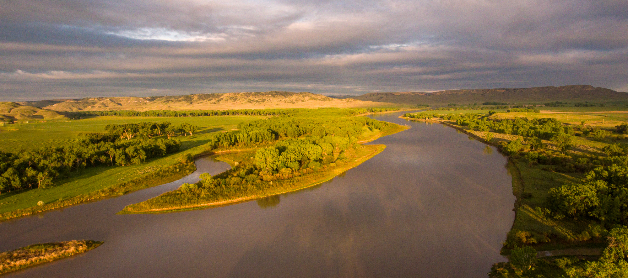
The Upper Missouri River Breaks in Eastern Montana is a rugged, yet scenic, stretch of the Lewis and Clark Trail typically accessed by boat. For those traveling the trail by car, this Inspiration Trip gives a glimpse of the Lewis and Clark experience and a full-on view of the Judith Basin, Sulphur Springs with the water given to Sacagawea as medicine, and the Big Fall that so captivated Lewis on June 15, 1805.
With all there is to see and do along the way, you may want to do this trip in two days. There are lodging options at the beginning, end, and at Lewistown and at Judith Landing.
You can learn more about the Expedition’s time along this trip at our educational website May 24, 1805 through July 13, 1805 and July 31, 1806 through July 31, 1806.
You may also like our L&C Travel Magazine!
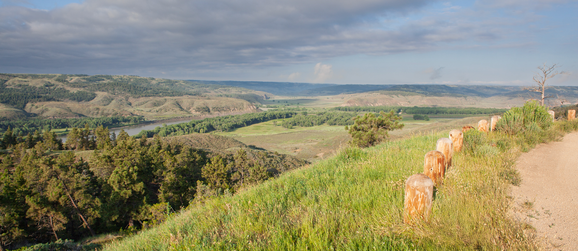
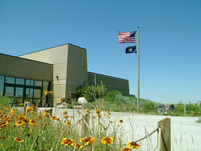
A self-guided auto tour route, which may be accessed from two points along Highway 191 on the west side of the refuge, provides visitors the chance to see the refuge close-up and gain a better understanding of Refuge resources.
Starting at two points along US Highway 191 above the Missouri River, the Charles M. Russell National Wildlife Refute Auto Tour is a 19-mile-long self-guided auto tour. The tour follows an all-weather gravel road that parallels the Missouri River before climbing out onto upland prairie and rolling rangeland. Interpretive stops along the route provide information on the wildlife, geology, and history of this unique landscape. This auto tour takes 2–3 hours to complete.
One highlight is the Slippery Ann Elk Viewing Area near where Lewis and his hunters bagged 15 elk on their return home in 1806.
Be prepared for weather extremes, no water, and impassable roads when wet. Check conditions at https://www.fws.gov/refuge/charles-m-russell.
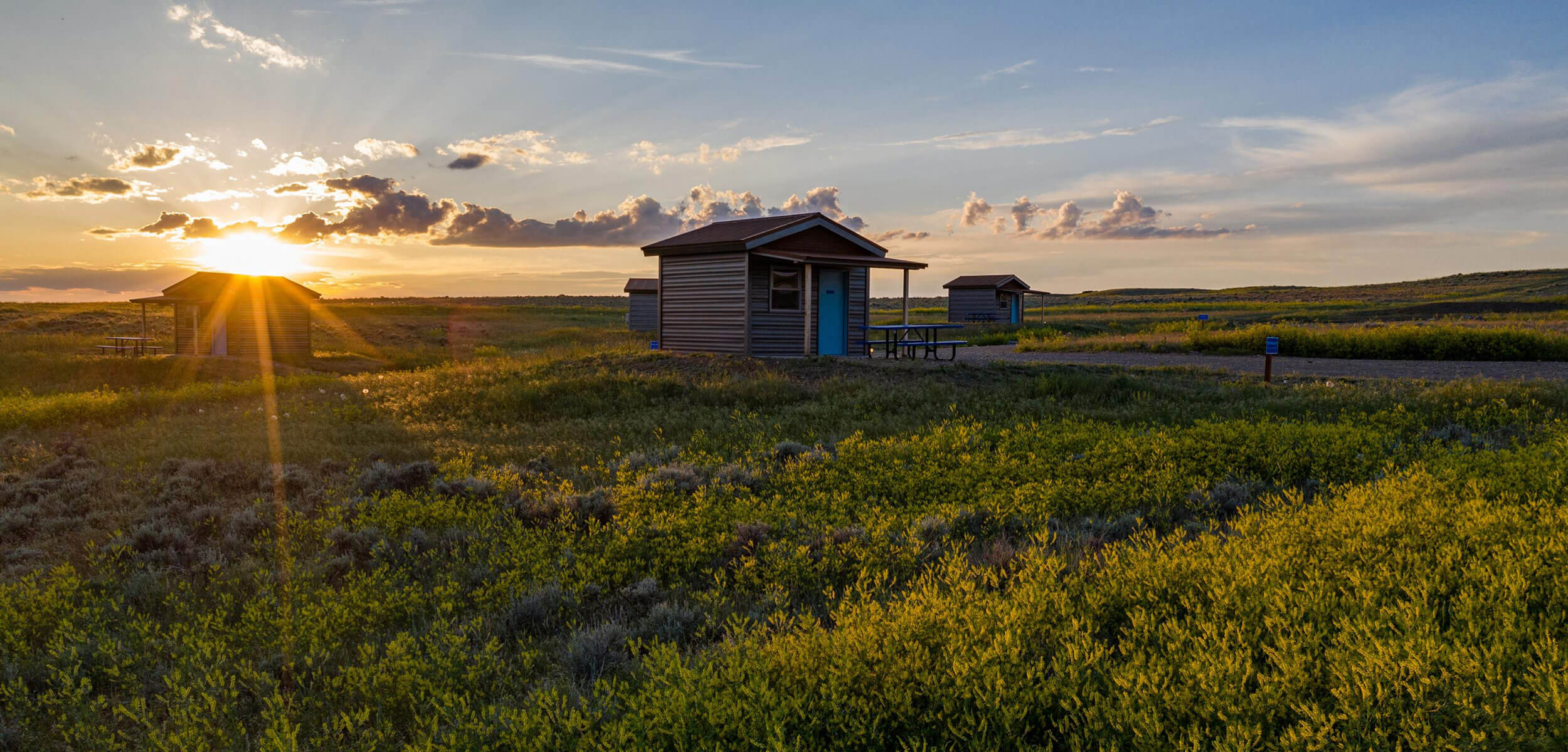
American Prairie Antelope Creek Campground, DY Junction, MT, USA
7 mi
View Listing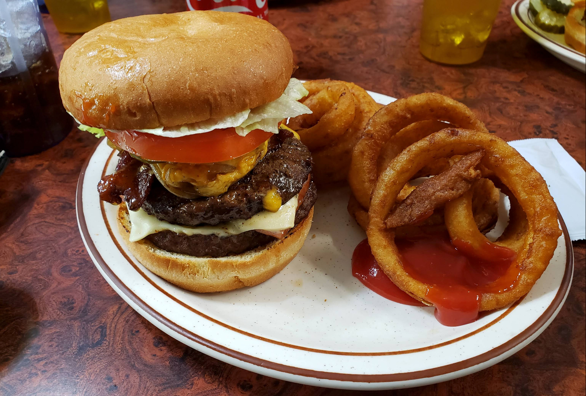
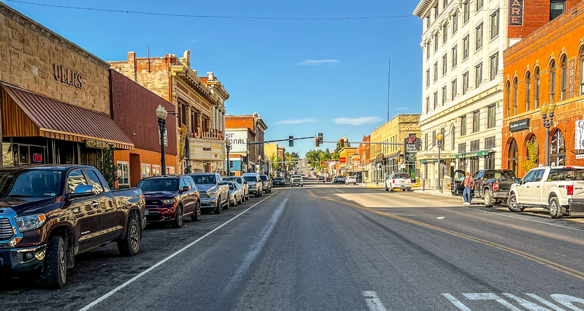
Lewistown lies in the heart of Montana amidst the Belt, Highwood, Judith, Moccasins and Snowy Mountains in a valley known as the Judith Basin. This small city is the commercial hub of the Judith Basin and offers great coffee, good food, unique lodging, and interesting museums and visitor centers.
Before leaving Lewistown, know that the roads to and from Judith Landing are mostly unpaved and very slick when wet. Should conditions dictate, on the Driving Map, delete Judith Landing as a stop. You will be rerouted to Fort Benton and Decision Point via paved roads: State Highway 81 and 80. On that alternate, you can add Square Butte as a stop!
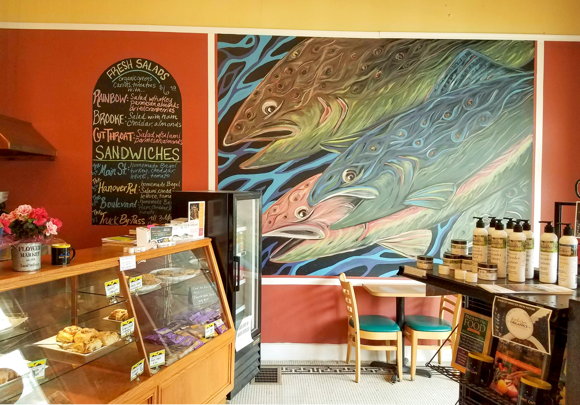
Rising Trout Cafe & Book Store, West Main Street, Lewistown, MT, USA
0 mi
View Listing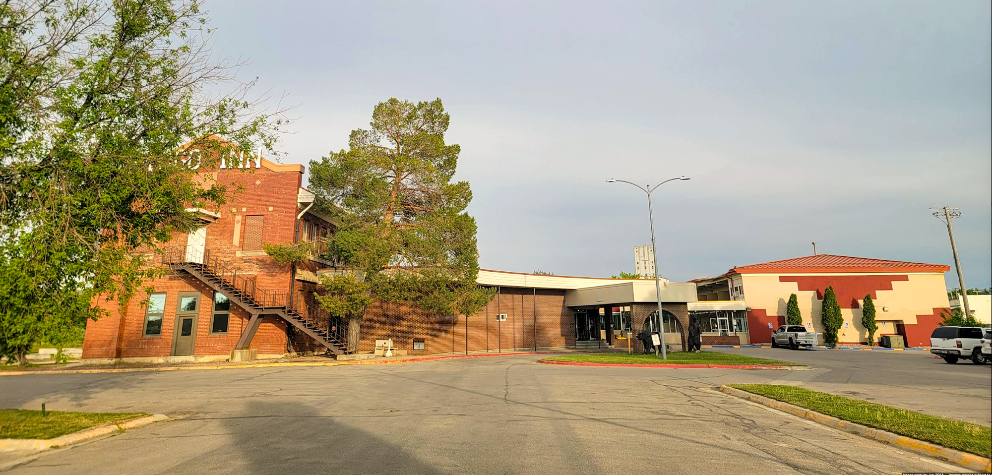
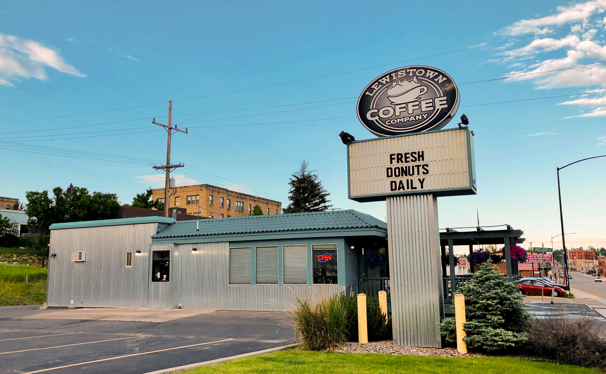
Lewistown Coffee Company, East Main Street, Lewistown, MT, USA
1 mi
View Listing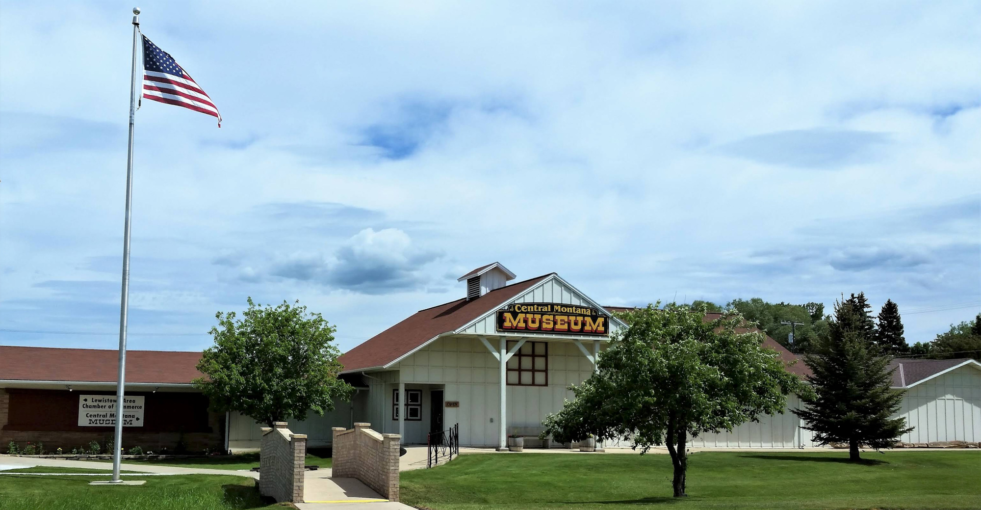
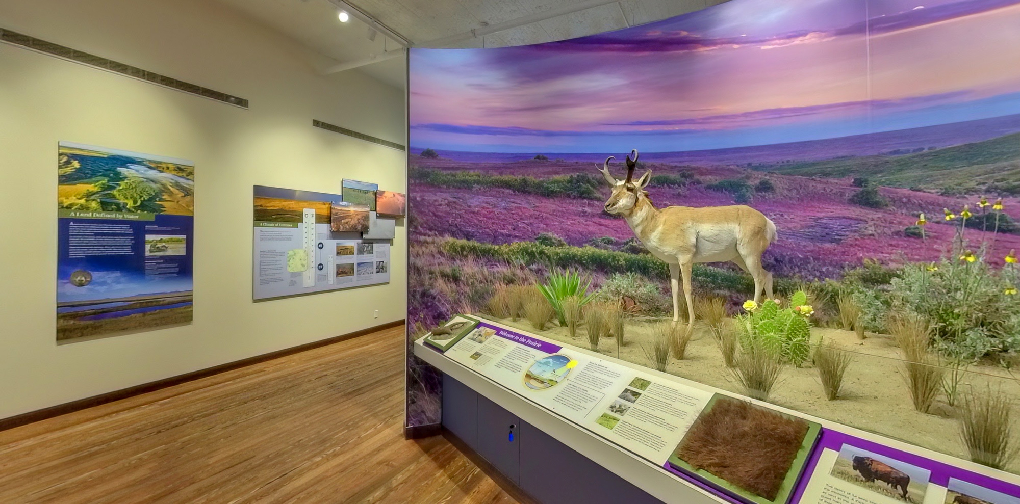
Central Montana Historical Msm, Northeast Main Street, Lewistown, MT, USA
1 mi
View Listing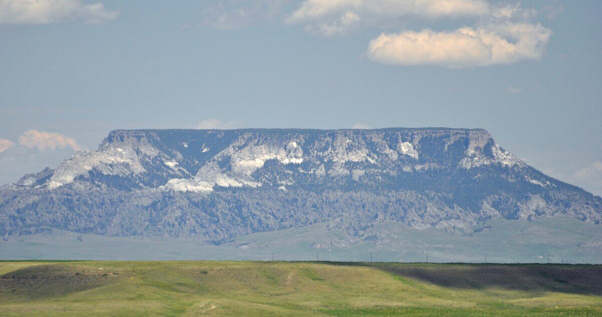
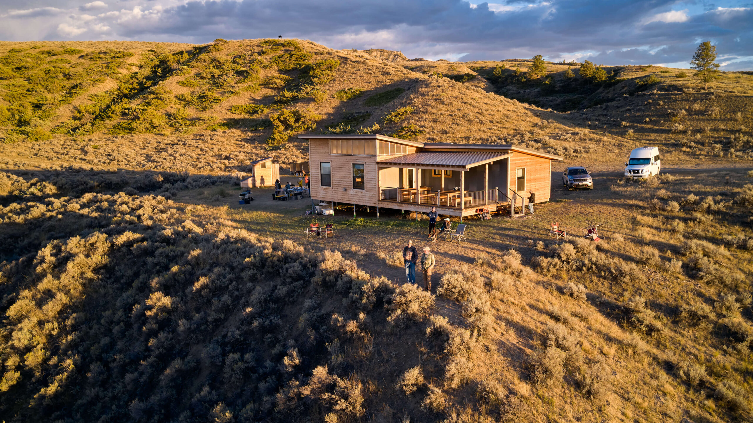
At the end of May 1805, William Clark named a “handsome river” after the girl he would later marry, Julia Hancock. Today, the Judith River, Judith Basin, and Judith Mountains retain his original name. At Judith Landing, you will find access to the Missouri River Breaks where State Highway 191 crosses the river. Accommodations are at the Judith Landing Campground and Lewis and Clark Hut at Judith Landing.
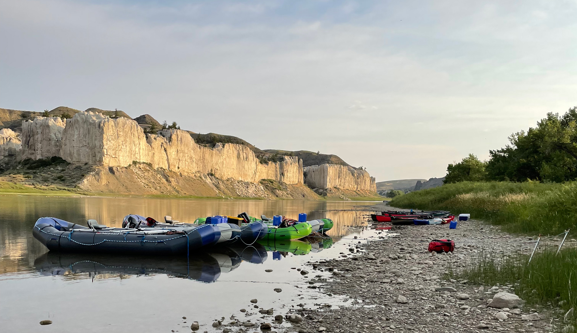
Near the bridge you will find a Lewis and Clark interpretive panel and the take-out for those paddling the White Cliffs portion of the Upper Missouri River Breaks. Some paddlers continue to the Fred G. Robinson Bridge at the James Kipp Campground. Paddling “The Breaks” is an amazing opportunity for those seeking a Lewis and Clark adventure. Refer to the Bureau of Land Management Boater’s Guides or find a Great Falls or Fort Benton-based outfitter to take you there.
Upper Missouri River Guides, Main Street, Fort Benton, MT, USA
48 mi
View Listing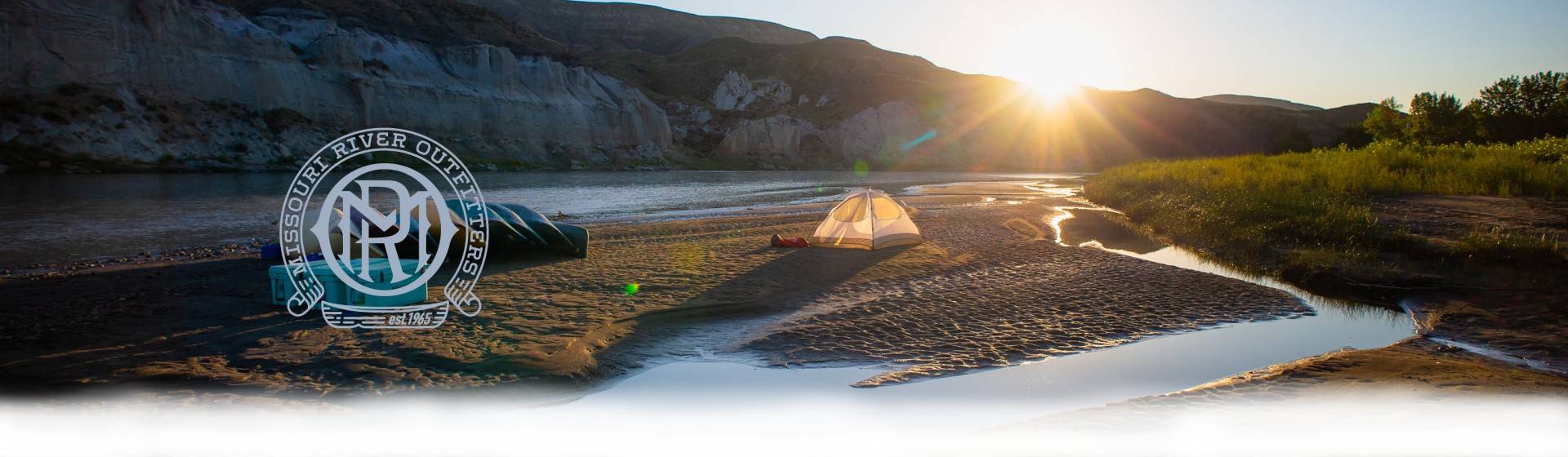
Missouri River Outfitters, State Highway 387, Fort Benton, MT, USA
48 mi
View Listing
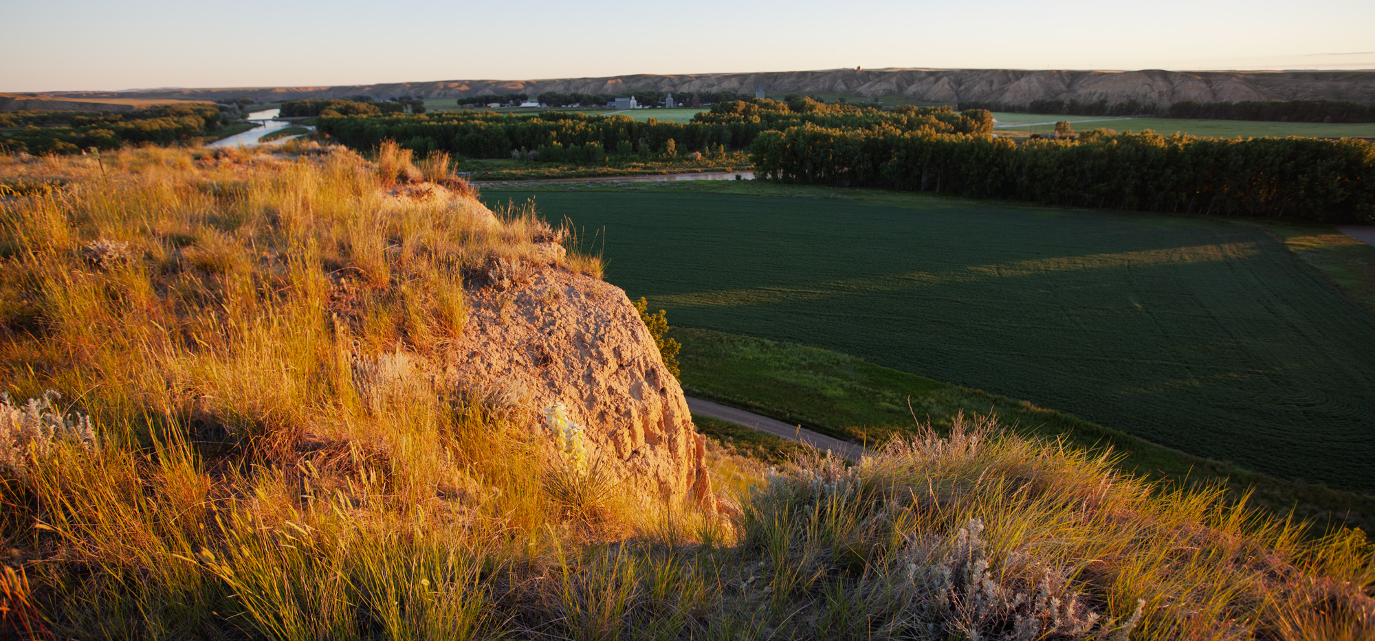
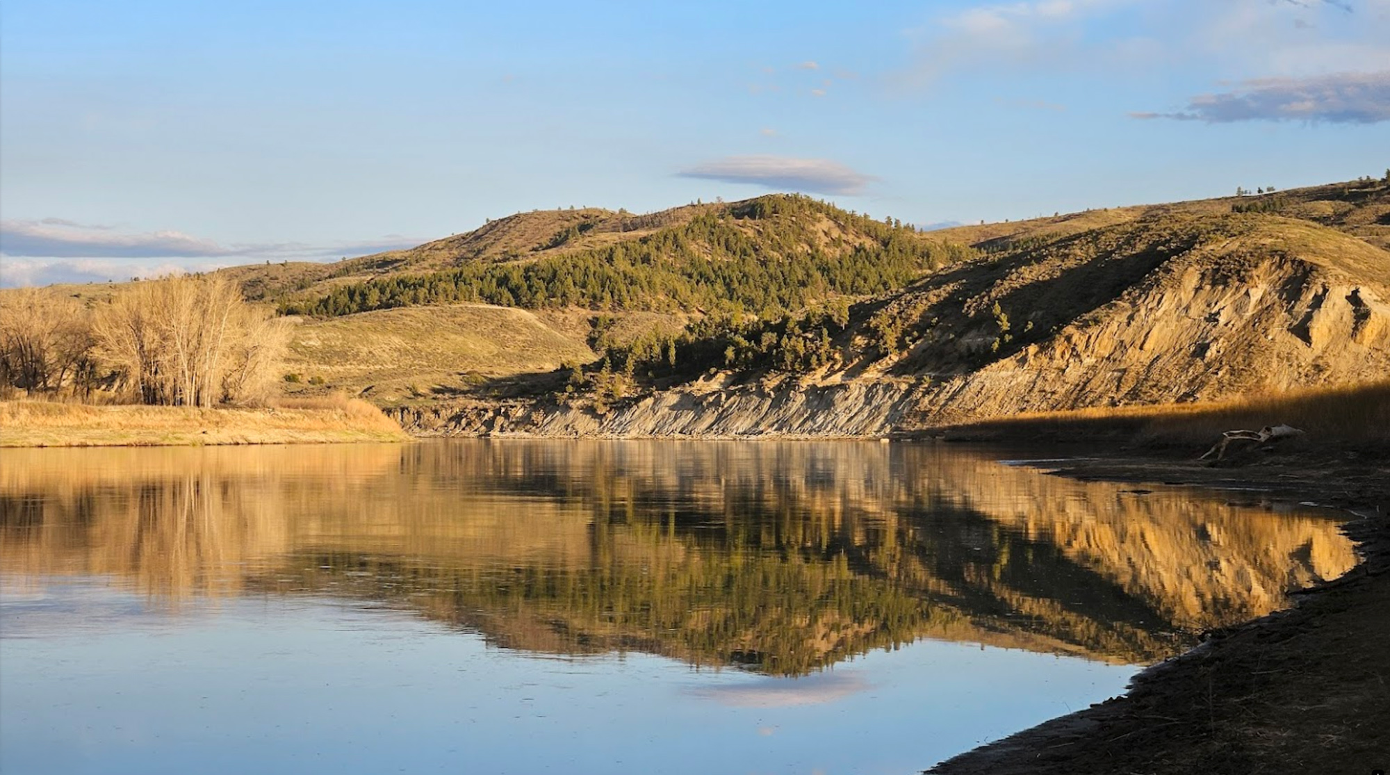
Decision Point is a must for those following the Lewis and Clark Trail. It is here that the two captains had to choose between the Marias and Missouri Rivers. Just a mile off the highway near the town of Loma, Montana, Decision Point will lead you on a short trail to an overlook above the old confluence of the two rivers. The captains literally stood on this high point mulling over which river to follow. They spent several days scouting both rivers and ultimately chose the Missouri even though most of the enlisted men thought that the Marias was the main river.

At Fort Benton, you will find food and refreshments, parks, historic buildings, museums, lodging, and two campgrounds. A narrow park along the old steamboat landing is packed with statues and interpretive signs about Fort Benton’s role as a transportation hub linking Canada to the north and gold fields to the south and west. Worthy of a visit are Historic Old Fort Benton, the Hornaday Bison Collection at the Museum of the Northern Great Plains, and the BLM’s Upper Missouri River Breaks Interpretive Center.
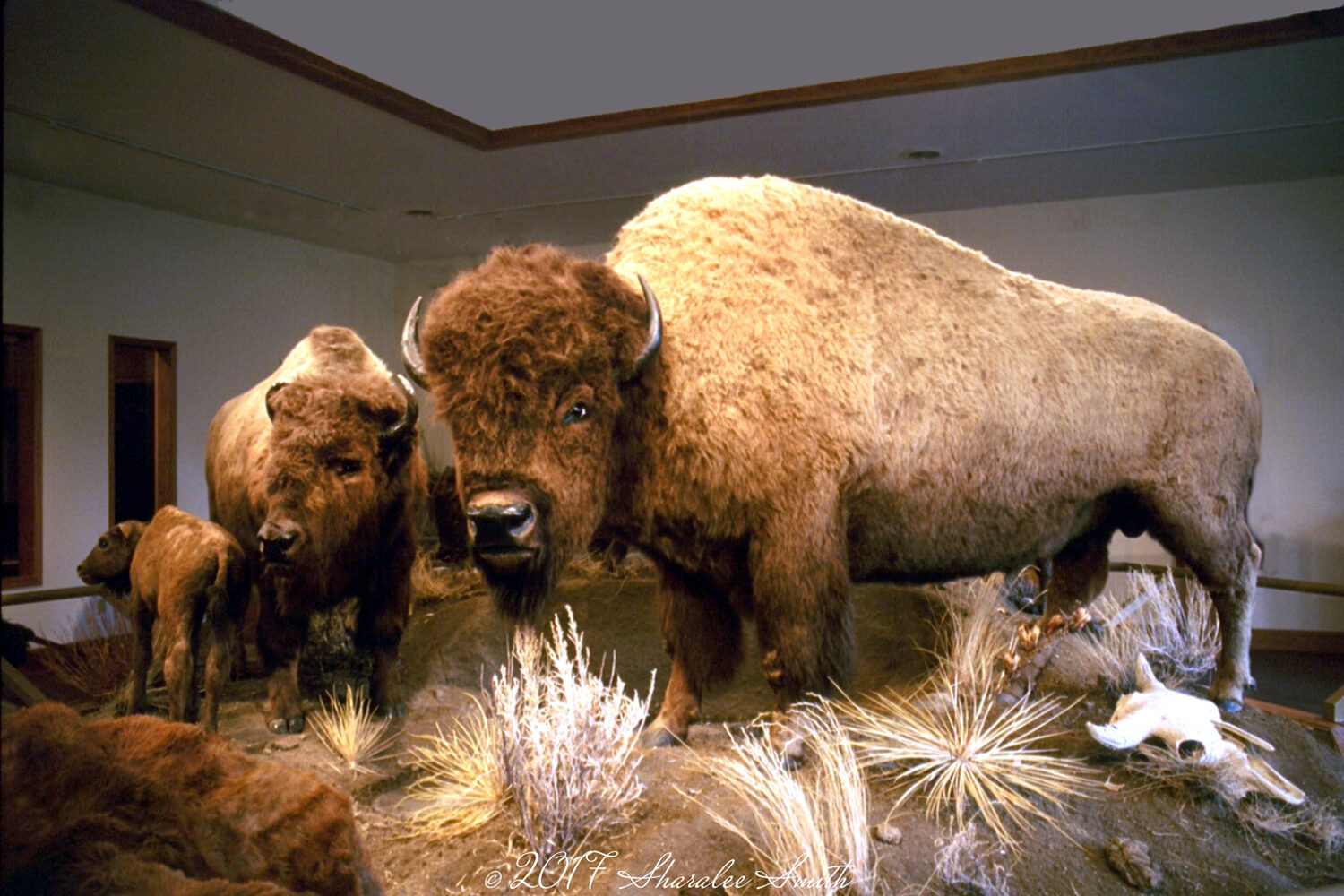
Museum of the Northern Great Plains, 20th Street, Fort Benton, MT, USA
1 mi
View Listing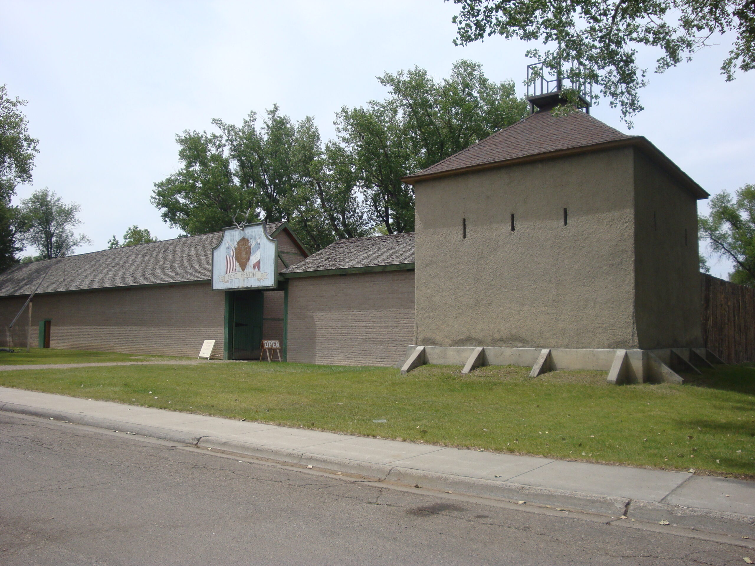
Old Fort Benton, River Street, Fort Benton, Montana 59442, USA
1 mi
View Listing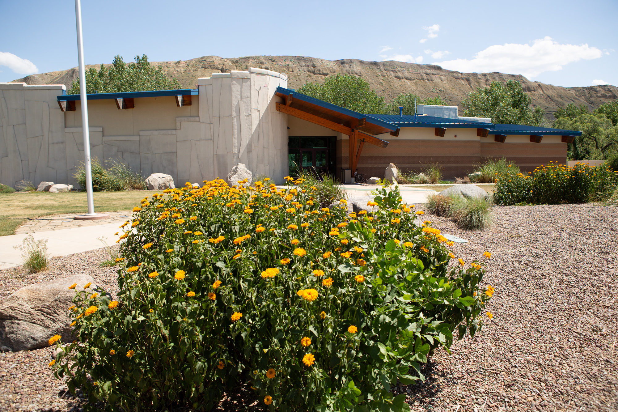
Missouri Breaks Interpretive Center, 7th Street, Fort Benton, MT, USA
2 mi
View Listing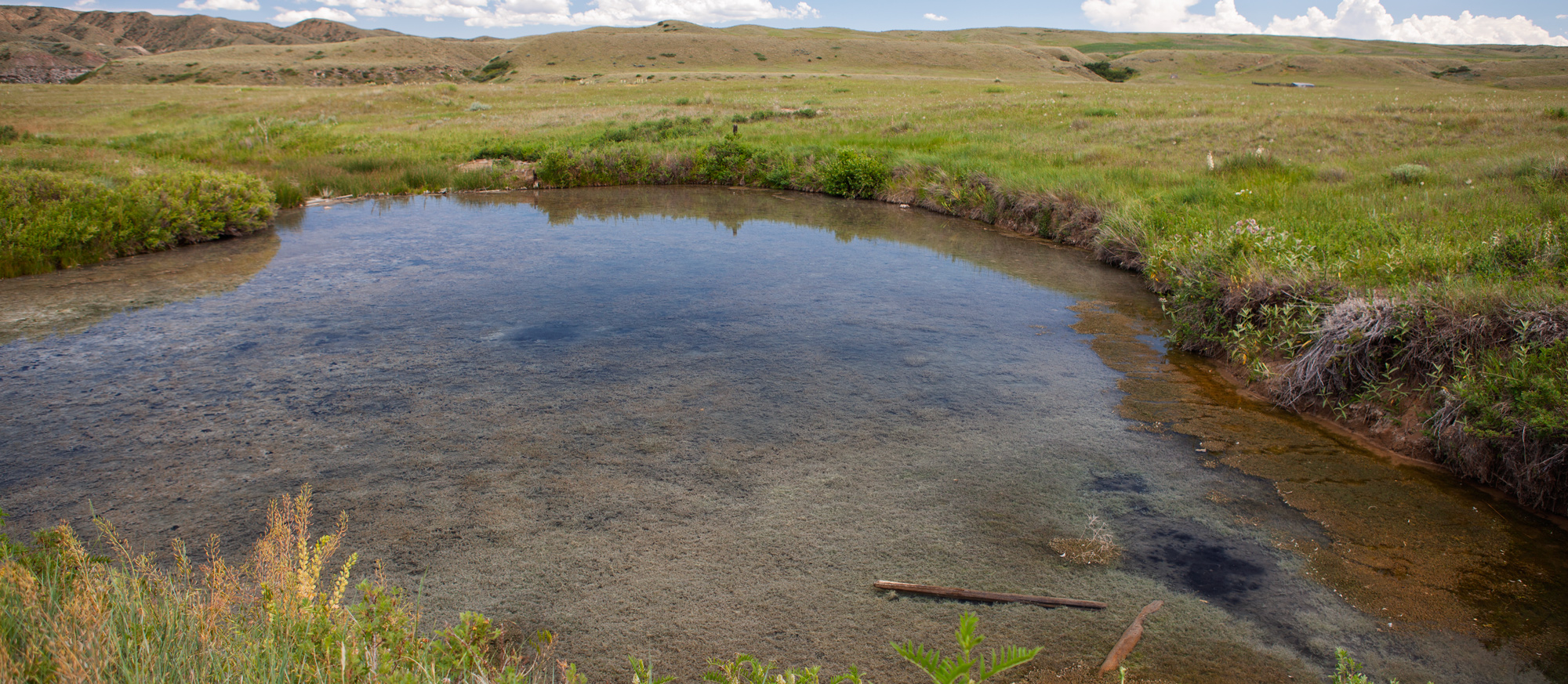
In June 1805, Sacagawea became “extreemly ill” and both captains failed to administer any effective medicines. Lewis sent a canoe across the river from their Lower Portage Camp:
“to procure the water of the Sulpher spring, the virtues of which I now resolved to try on the Indian woman. I caused her to drink the mineral water altogether.”
Her condition improved the next day. Today, you can still visit this Sulphur Spring via a 3.6-mile (round trip) trail with viewpoints, interpretive signs, and of course Sulphur Springs itself. The trail is for hikers only—no bicycles allowed.
Trail Map: https://www.fs.usda.gov/Internet/FSE_DOCUMENTS/stelprd3795289.pdf
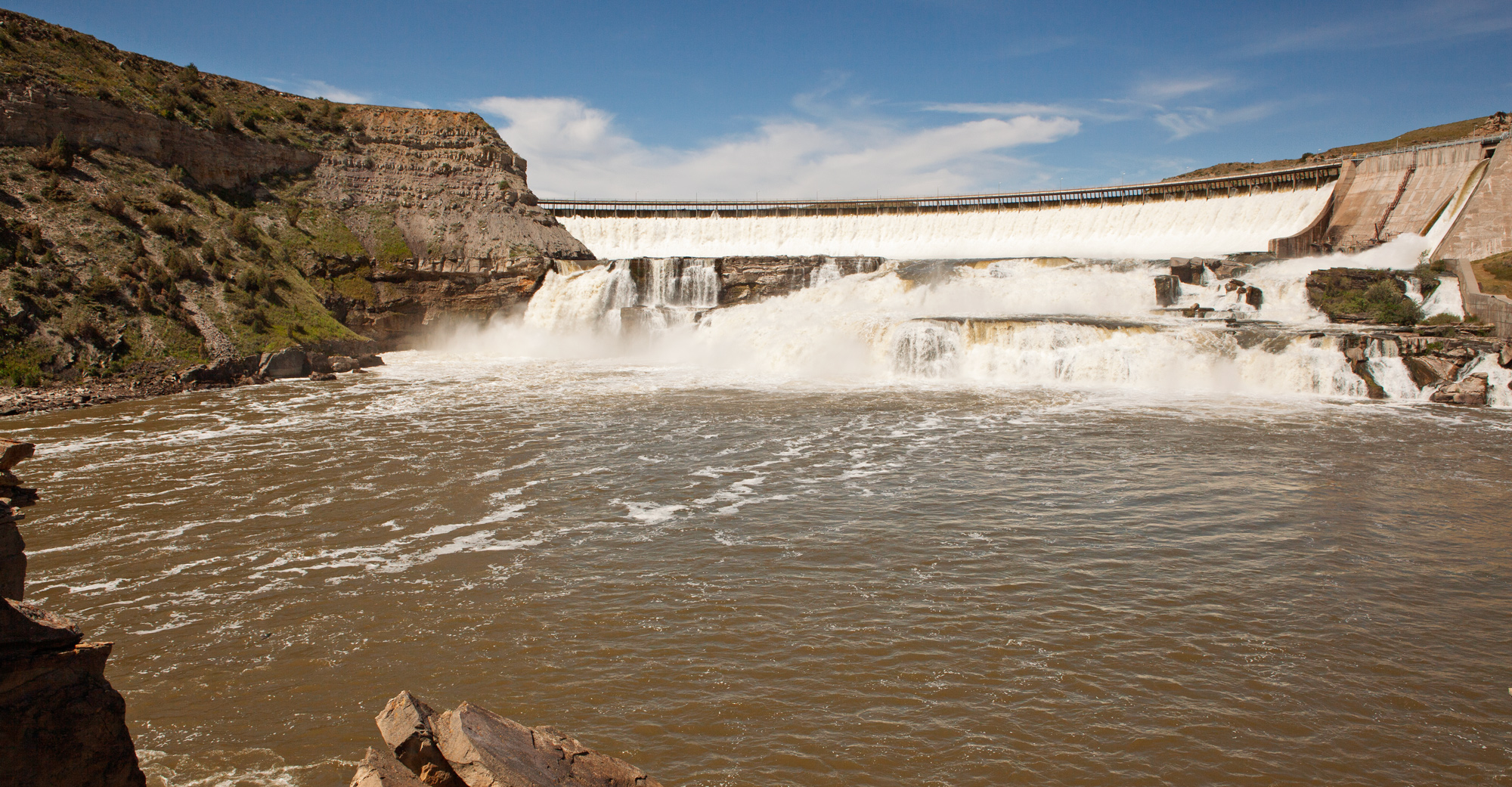
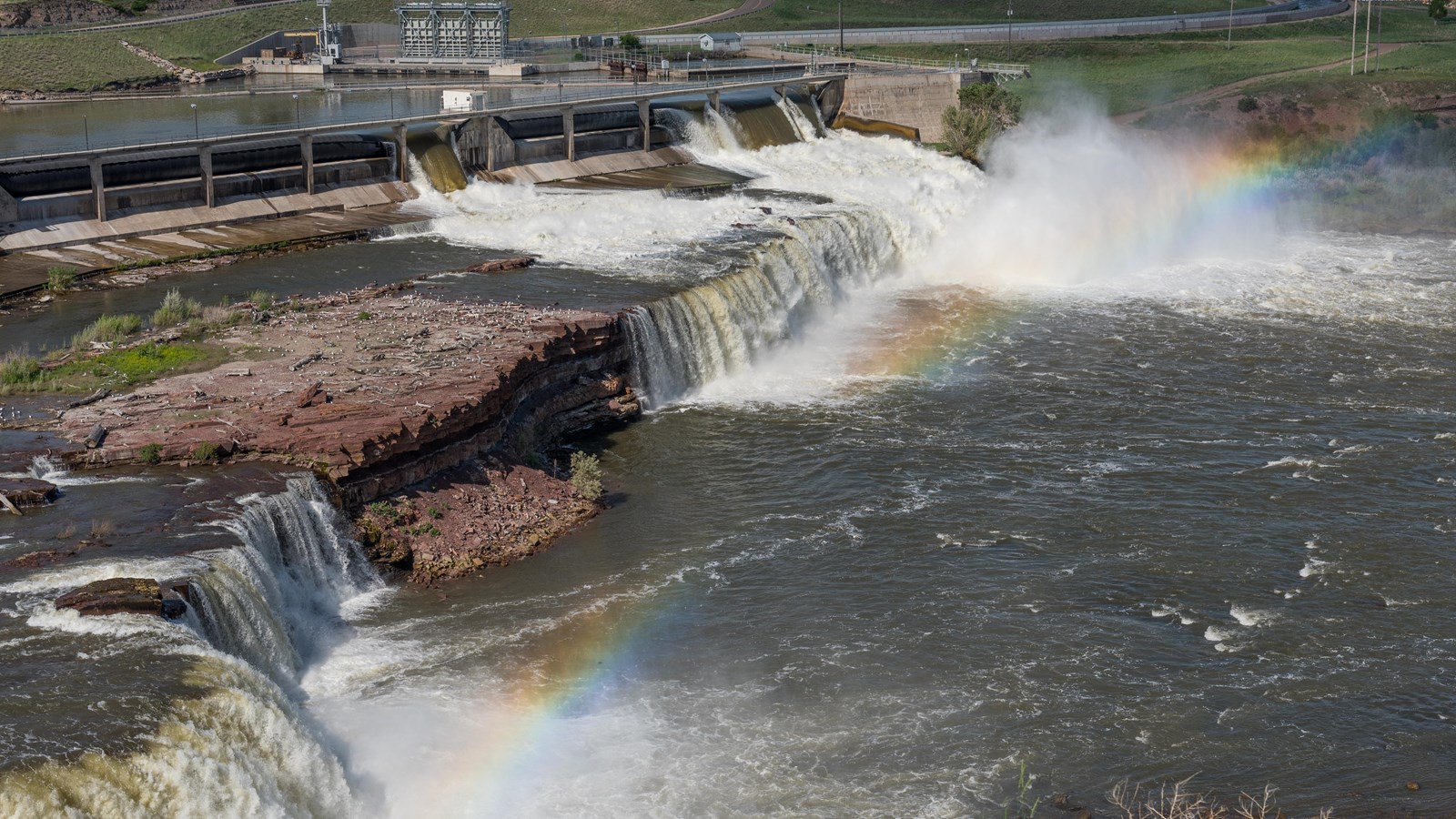
“. . . the grandest sight I ever beheld…whin my ears were saluted with the agreeable sound of a fall of water and advancing a little further; I saw the spray arise above the plain like a collumn of smoke . . . which soon began to make a roaring too tremendous to be mistaken for any cause short of the great falls of the Missouri . . .”
—Meriwether Lewis, June 13, 1805
The best view of The Great Falls is from the highest point at Ryan Island Park, which is accessed from a suspension bridge across the Missouri River. The island has a large picnic area, and just above the parking lot is a trailhead for the River’s Edge Trail which goes to Great Falls and connects with the Sulphur Springs Trail.
The City of Great Falls is a hub for Lewis and Clark enthusiasts with a variety of day hikes, galleries, outdoor recreation, scenic views, museums, breweries, and so much more! It is home to the Lewis and Clark National Historic Trail Interpretive Center that walks visitors through their time portaging around the Falls of the Missouri.
Be sure to check out our Great Falls City Loop, Great Falls to Townsend, and Missoula to Great Falls Inspiration Trips.
The Celtic Cowboy Pub and Restaurant, 1st Avenue South, Great Falls, MT, USA
0 mi
View Listing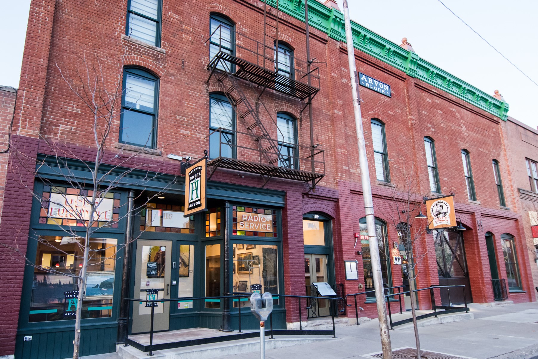
Jeremiah Johnson Brewing Co. Production and Packaging Facility, 3rd Avenue South, Great Falls, MT, USA
0 mi
View Listing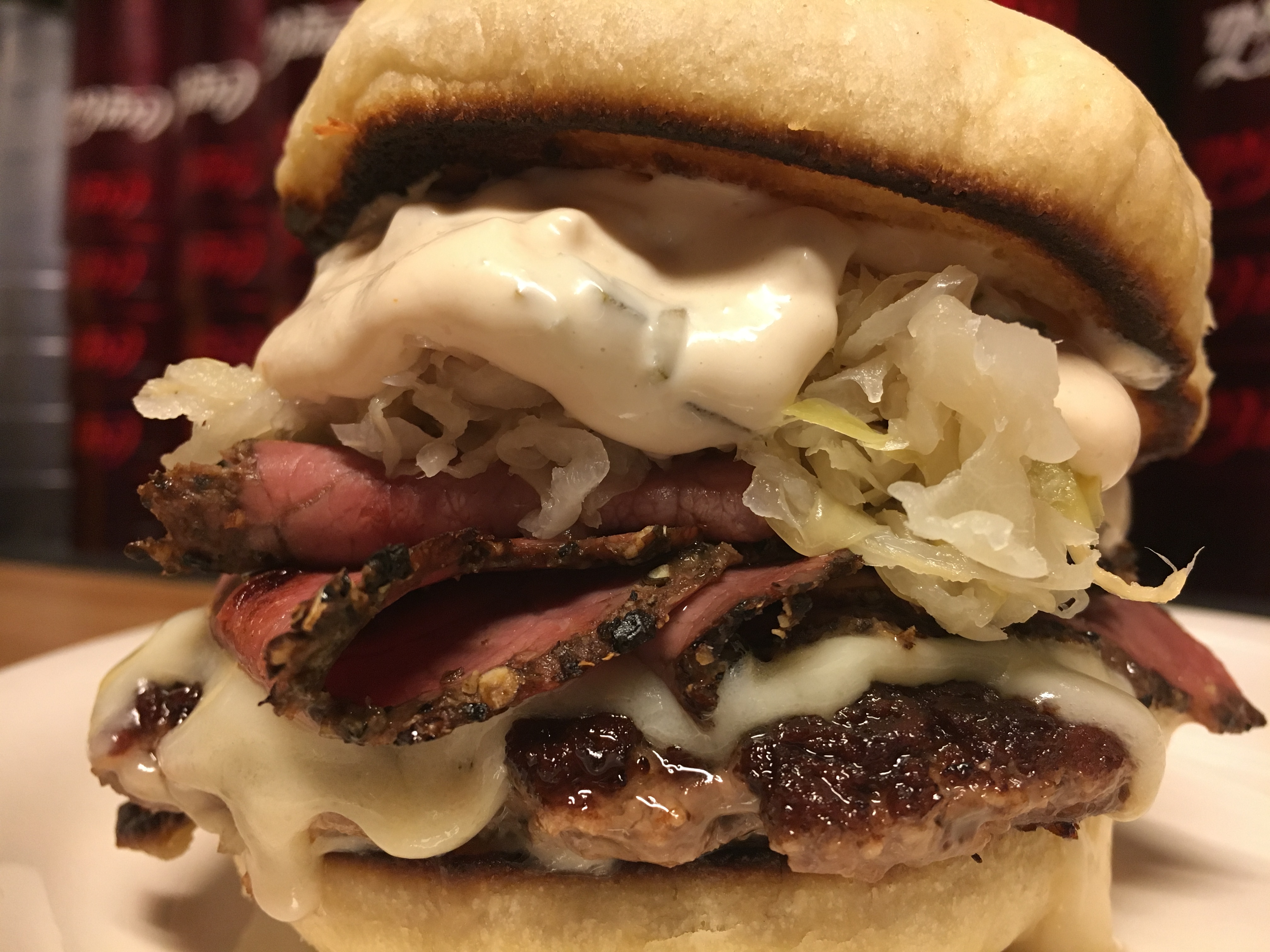
4201 Giant Springs Road, Great Falls, MT 59405, USA
3 mi
View Listing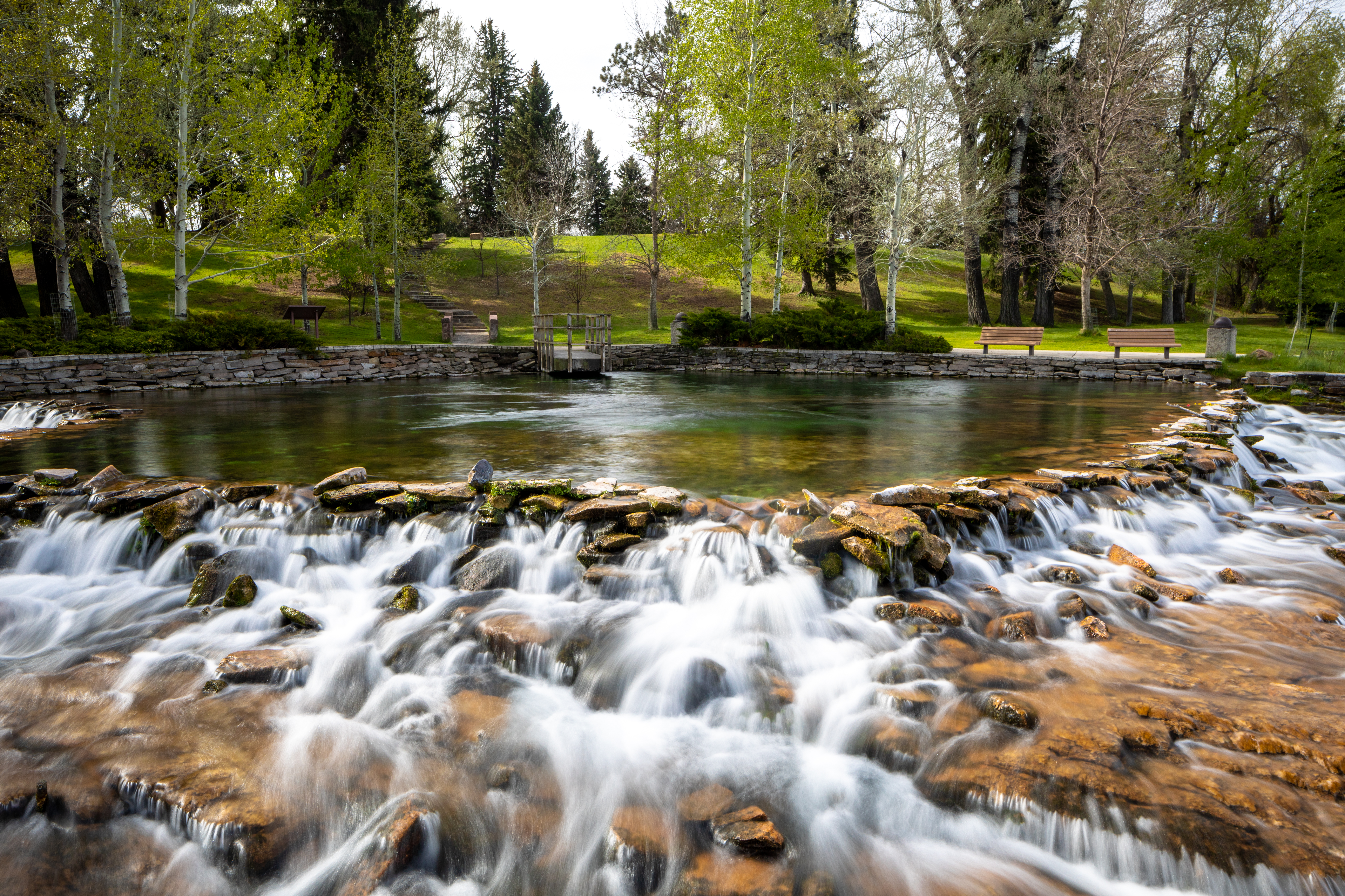
Giant Springs State Park, Giant Springs Road, Great Falls, MT, USA
4 mi
View ListingOur bi-weekly newsletter provides news, history, and information for those interested in traveling along along the Lewis & Clark Trail.


