Montana: Havre to Great Falls
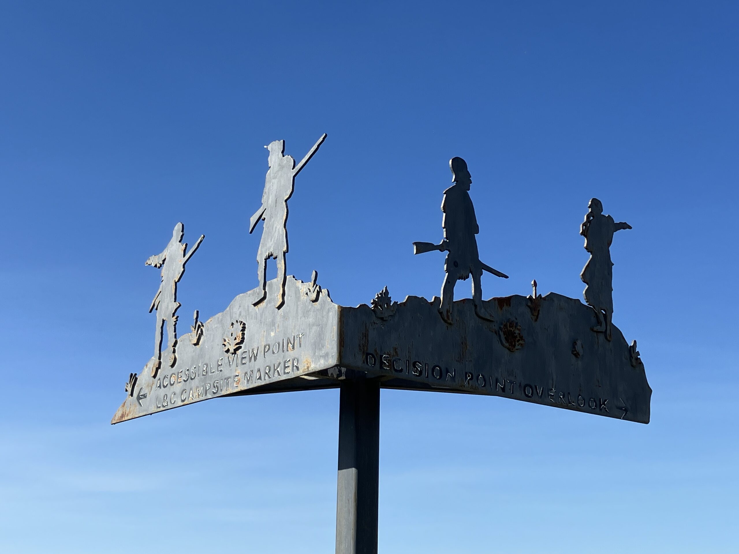

The Lewis and Clark Expedition left Fort Mandan on April 7, 1805. On that date, Meriwether Lewis penned in his journal (spelling in the orginal): “Our vessels consisted of six small canoes, and two large perogues. This little fleet altho’ not quite so rispectable as those of Columbus or Capt. Cook were still viewed by us with as much pleasure as those deservedly famed adventurers ever beheld theirs; and I dare say with quite as much anxiety for their safety and preservation. we were now about to penetrate a country at least two thousand miles in width, on which the foot of civillized man had never trodden; the good or evil it had in store for us was for experiment yet to determine, and these little vessells contained every article by which we were to expect to subsist or defend ourselves. however as this the state of mind in which we are, generally gives the colouring to events, when the immagination is suffered to wander into futurity, the picture which now presented itself to me was a most pleasing one. entertaing 〈now〉 as I do, the most confident hope of succeading in a voyage which had formed a da[r]ling project of mine for the last ten years 〈of my life〉, I could but esteem this moment of my 〈our〉 departure as among the most happy of my life. The party are in excellent health and sperits, zealously attatched to the enterprise, and anxious to proceed; not a whisper of murmur or discontent to be heard among them, but all act in unison, and with the most perfect harmony.”
The Corps of Discovery reached the mouth of the Yellowstone River on April 25 and they continued up the Missouri after some exploration and taking astronomical observations to determine scientifically the position of the confluence. In the 1820s, a trading company established Fort Union in the vicinity. When in the area, it is worth visiting the modern recreation of the trading post as well as the nearby Missouri-Yellowstone Confluence Center. As the Corps of Discovery continued up the Missouri, they also encountered the Milk River, which flows into the Missouri near today’s Fort Peck Dam. To learn about all of these features and more, see the Great Northern Route Tour 2: Eastern Montana Inspiration Trip.
Tour 2 also leads the auto traveler from North Dakota west through the town of Havre, Montana on US 2, the Highline Highway. While that route is the only practical way for driving, the Missouri River does not flow in the vicinity of US 2 west of Fort Peck. To reestablish contact with the river, the driver coming from the east must take US 87 from just west of Havre and head southwest for Fort Benton and Great Falls. This Inspiration Trip will follow that route and describe sites worth seeing.
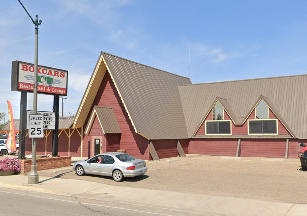
A restaurant and lounge in the center of Havre, Boxcars offers the best burger in town and a convenient location to start your Trip. Go west on US 2 and turn left onto US 87 south. You will travel through ranch land for many miles, with the small town of Big Sandy being about two-thirds of the way to the first stop.
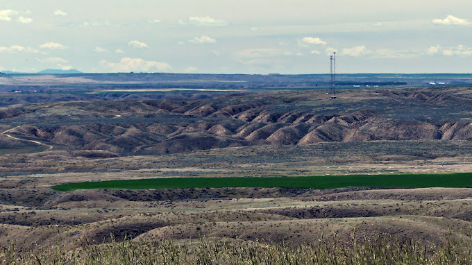
Approximately 15 miles past Big Sandy, after crossing the intersections with Briese Rd. and then Rudyard Rd., look for a turnout on your right for Lewis & Clark Observation Point. A sheltered kiosk by a small parking area contains a couple interpretive panels that explain the dilemma that faced Lewis & Clark. This stop also provides a beautiful view of the rugged surroundings.
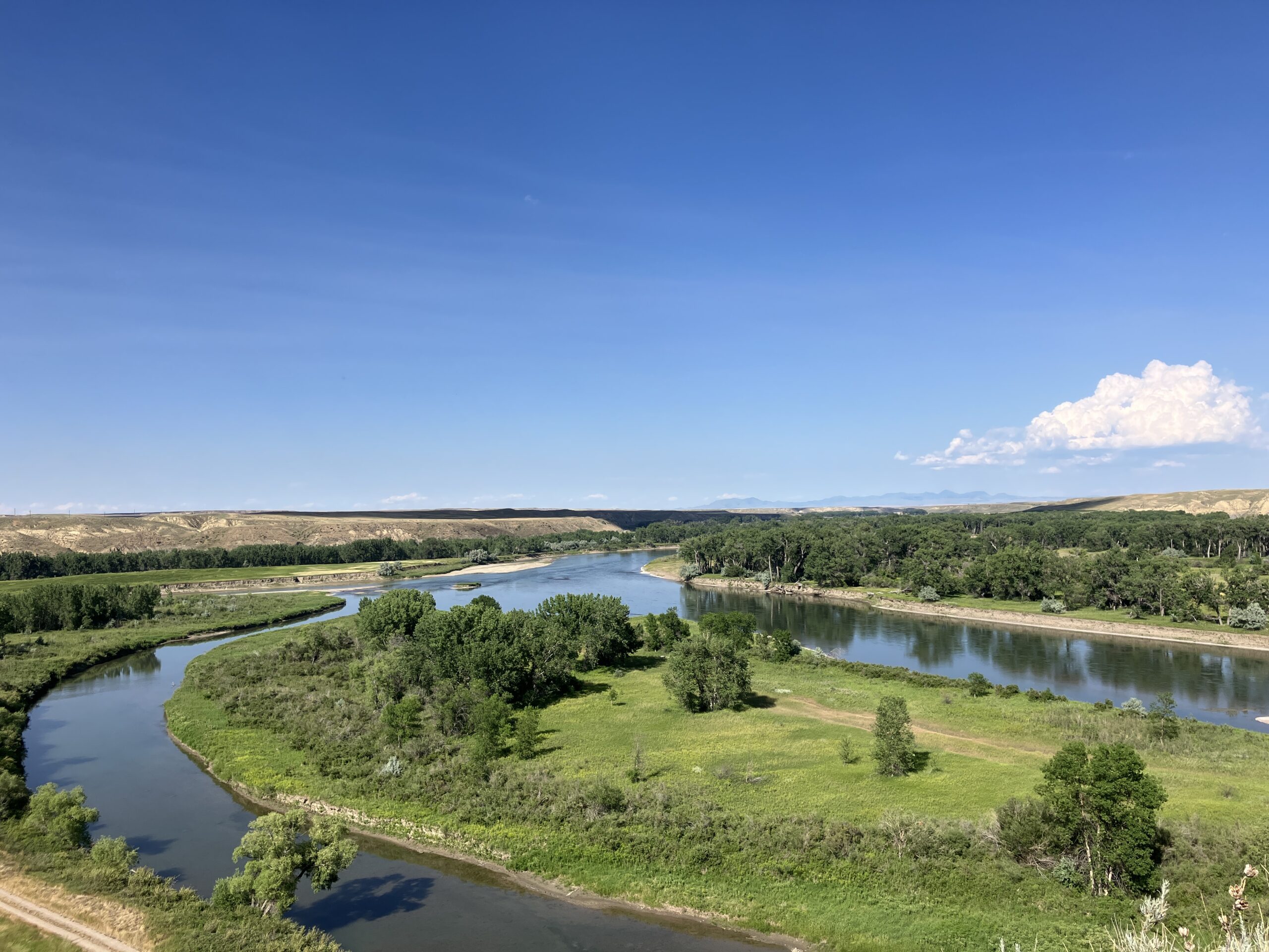
Continue on US 87, pass the tiny town of Loma, and slow as you prepare to cross the Marias River bridge. Turn left just past the bridge onto Loma Ferry Road, the gravel road that leads to the left to the parking area. From the information kiosk, walk the path uphill to experience Decision Point. Chances are it will be very windy on top of the hill as you read the panels there and take in the view.
This river coming in from the north was a surprise to the Expedition. Called Marias (mar-RYE-uhs) River by Lewis after a young lady of his acquaintance named Maria Wood, the river presented a conundrum since the Corps had not been informed of it by their native hosts the previous winter. It was significant because it extended the northern reach of the Louisiana Purchase. The muddy waters of the river they had been paddling also more closely matched those of this branch than those of the more southerly branch, which were clearer, like a mountain stream. While Lewis and Clark were convinced that the clear branch was the true Missouri, the men of the Corps, to a man, felt the northern branch was the actual Missouri River.
With the fate of the Expedition hanging in the balance, the captains decided to reconnoiter both branches before the entire party would proceed any further. Lewis and Clark both led separate detachments up each branch and their reconnaissance confirmed the captains' opinions. After caching some items and leaving the larger red pirogue hidden in some brush, the men cheerfully followed their commanders up the left branch.
From the top of the Decision Point hill looking generally east, the Marias River comes in from your left (north), the upper Missouri is flowing toward you from the west behind you, and the Missouri River approach from which the Corps had come upstream is in front of you and flowing away from you to the east. The island immediately below divides the Missouri temporarily into two streams before it receives the Marias from the left and the streams reunite.
WGF2+XH Loma, MT, USA
Decision Point, Loma Ferry Road, Loma, MT, USA
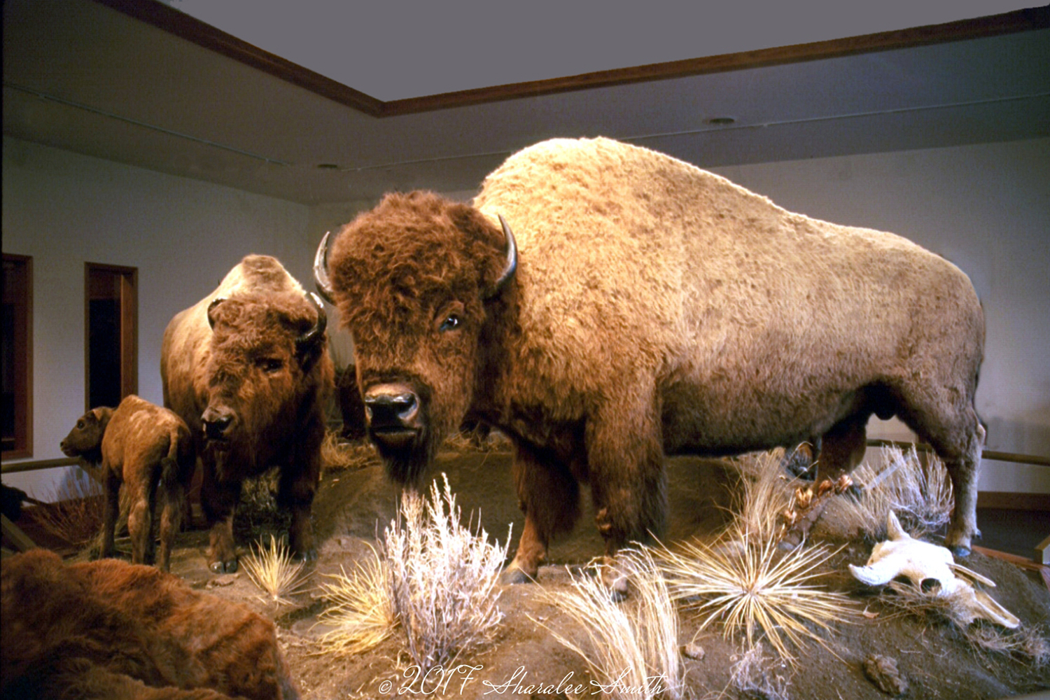
Resume US 87 south and turn left onto MT 387 into Fort Benton. The town was traditionally the head of navigation for the Missouri River and still serves as a jumping off point for canoe trips down to the White Cliffs and Missouri Breaks areas of the river. Established in 1846, the town is considered the Birthplace of Montana and was reached by steamboats, making it for a time the most inland seagoing port in the world. Immigrant, trading, and military roads, as well as a train line connecting with the port, maintained Fort Benton's prominence even as steamboat traffic faded.
A constellation of four museums make Fort Benton their home. Generally open from the weekend of Memorial Day through the end of September, Historic Old Fort Benton, the Museum of the Northern Great Plains, the Museum of the Upper Missouri, and the Upper Missouri River Breaks Interpretive Center offer a host of attractions of interest to visitors. Experiencing all four and doing them justice will take up an entire day.
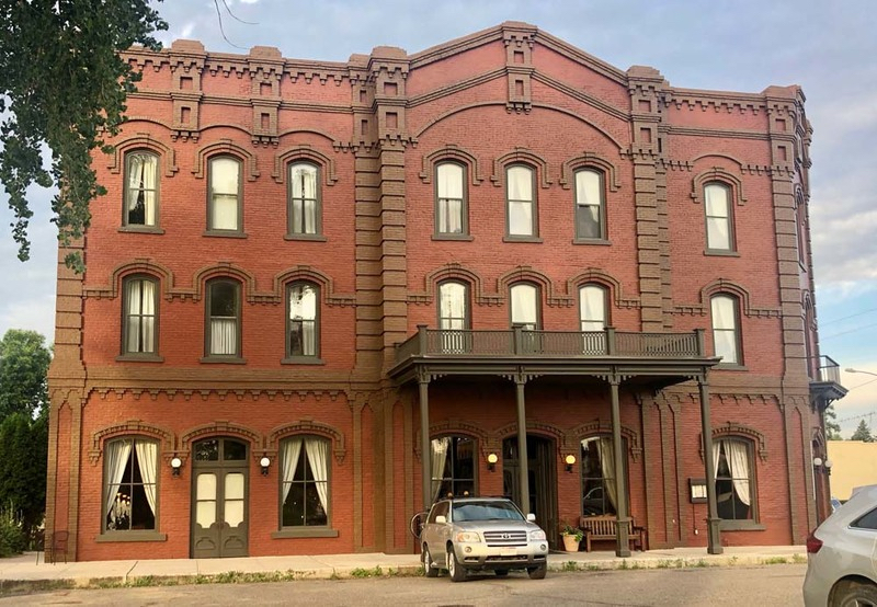
The Grand Union Hotel was founded in 1882 and, though its fortunes have waxed and waned as the years have gone on, it is once again an elegant base from which to explore the surrounding town. Stop in for a meal or a drink, or spend the night in one of its lovely, renovated rooms.
1 Grand Union Square, Fort Benton, MT 59442, USA
Fort Benton Engine House, Front Street, Fort Benton, MT, USA
Old Fort Benton Bridge, 15th Street, Fort Benton, MT, USA
1600 Front Street, Fort Benton, MT, USA
1513 Washington St, Fort Benton, MT 59442
Old Fort Benton, River Street, Fort Benton, Montana 59442, USA
Old Fort Benton, River Street, Fort Benton, Montana 59442, USA
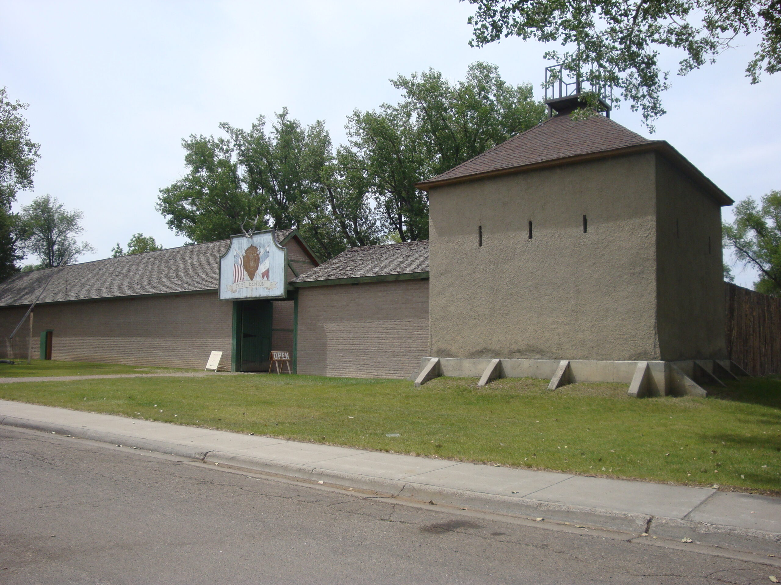
Old Fort Benton, River Street, Fort Benton, Montana 59442, USA
View Listing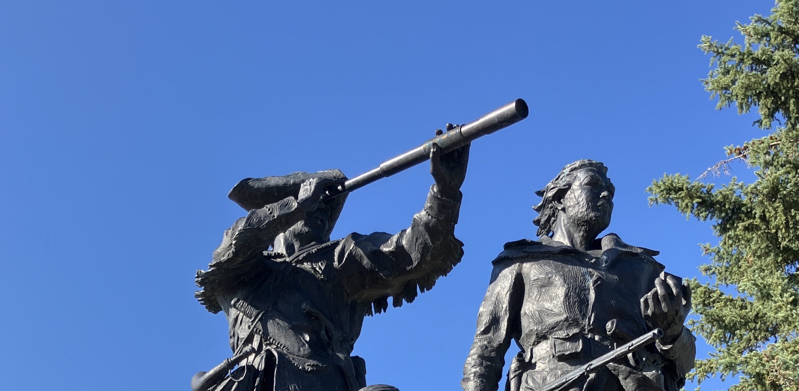
Walk along the Steamboat Levee by the river to see the Shep Memorial statue, the Mullan Wagon Road statue, the Keelboat Mandan, and various interpretive panels on your way to the "Montana Memorial," the Lewis & Clark Memorial Sculpture.
Created by notable western artist Bob Scriver, the sculpture depicts Lewis, Clark and Sacagawea with her son Jean Baptiste. It commemorates the nine days the Corps of Discovery camped at Decision Point to determine which way to proceed up the Missouri. The bronze was cast in New York, weighs 2 1/2 tons, is 21 feet high, and stands on an 85-ton granite base. It was dedicated as a Bicentennial project on June 13, 1976 and is Montana's official memorial to the Expedition.
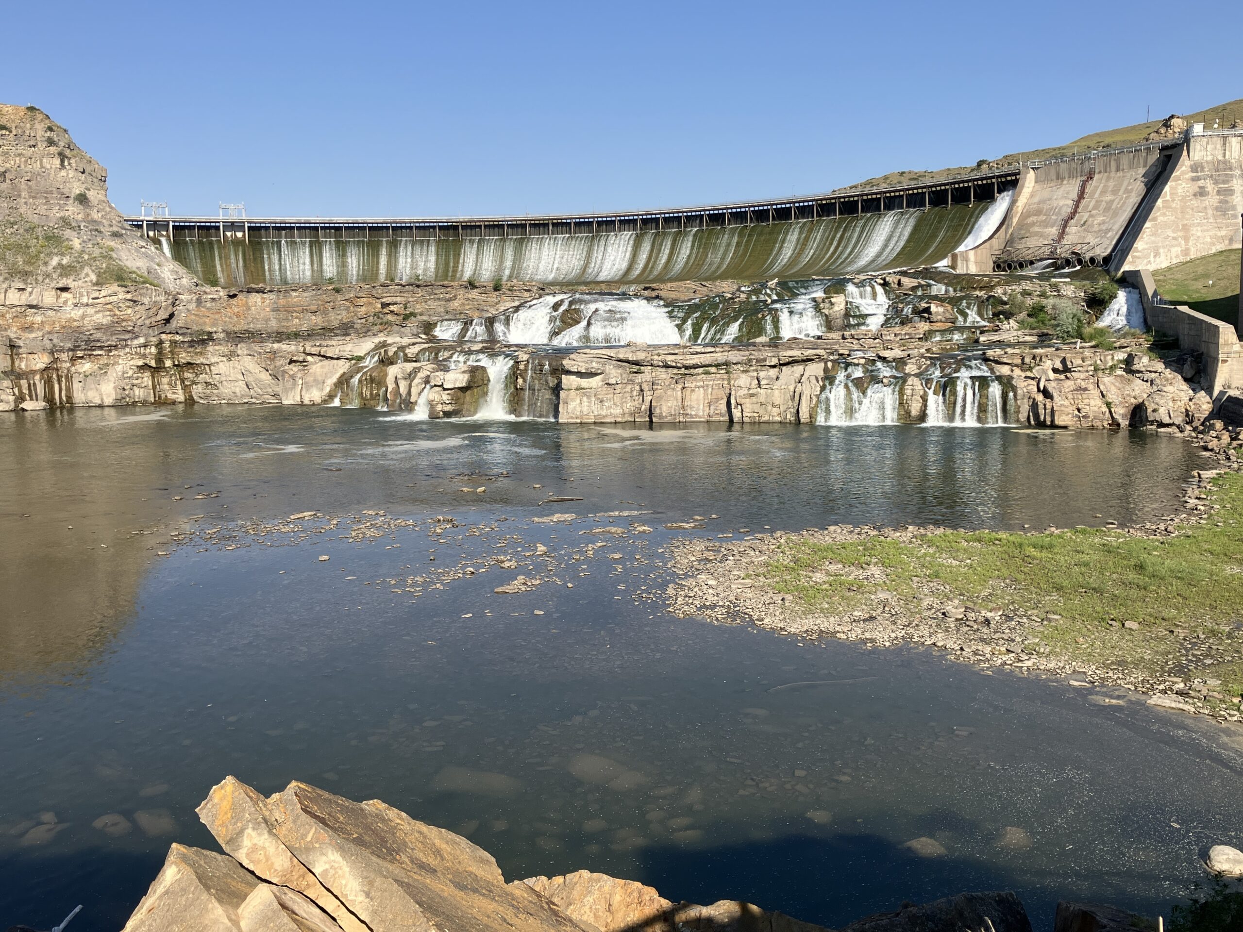
Resume US 87 south toward the City of Great Falls and enter 160 Ryan Dam Road as your destination. This stop should only be made in dry weather and in daylight. Approaching the northern reaches of town, turn left onto the gravel Morony Dam Road heading east. In 3-4 miles, turn right onto Ryan Dam Road when Morony Dam Road continues east. Follow signs for Ryan Dam as you descend into coulees and the road works its way to the right and past a wooden clubhouse building on your left.
The falls and an interpretive boulder may be viewed from above near the clubhouse. Continue straight down hill on the paved road. Partway down the hill on the left is a gate whose path leads to a suspension footbridge to Ryan Island in the river. Obey the cautions when crossing the bridge. Once on the island, turn right and follow the paved path up to the right and then around to the left. You will be rewarded with a close up view of the Great Falls of the Missouri and Ryan Dam that sits behind the falls.
Originally called Volta Dam, it was built on top of the Great Falls in 1915. The dam was renamed Ryan Dam in 1940 in honor of John D. Ryan, the president and founder of the Montana Power Company. Interpretative panels further describe what you are seeing.
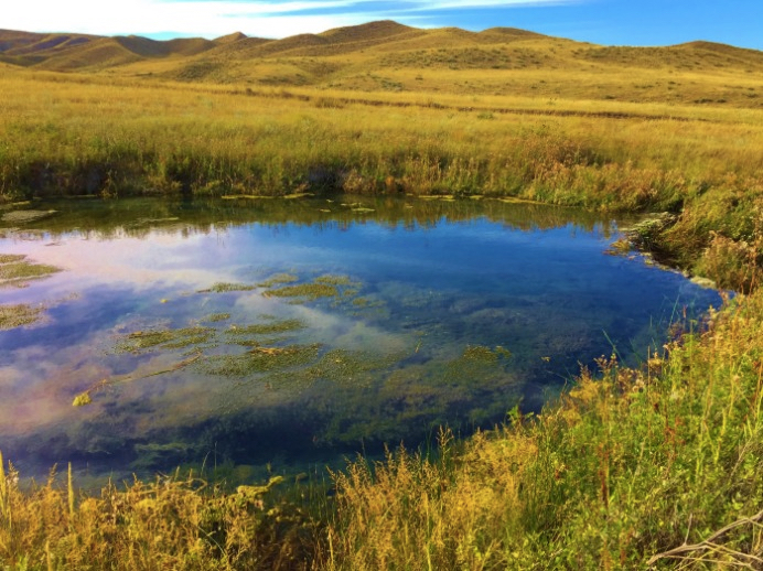
Reverse back to the intersection of Ryan Dam Road and Morony Dam Road. To go directly to Great Falls, turn left to head west to the main highway and turn left onto US 87 south into town. To make a hike instead to visit Sulphur Springs, turn right onto Morony Dam Road and follow it for about five miles to the parking area on the left for Sulphur Springs Trailhead.
While working their way upriver after leaving Decision Point, Sacagawea began to experience abdominal plains. On June 16, 1805, when Lewis returned after encountering the Great Falls, he found her in great pain and began to administer medication. Finding a sulphur spring on the north bank, he gave some of its water to the Indian woman and it seemed to give her relief. With Sacagawea on the mend, Lewis's mind was again free to contemplate the measures necessary to portage their goods above the five separate waterfalls he had found in the area and to proceed on to the continental divide and the Pacific Ocean. Sacagawea would prove valuable in helping to obtain the horses needed to negotiate their difficult, mountainous passage across the spine of the continent once they left the river.
The hike to the springs is roughly three miles round trip and offers no shade whatsoever. Bring water and wear sunscreen and a hat. It can be windy and very hot, but only attempt this hike during the daytime. Just downstream from the springs on the opposite bank is the mouth of Portage Creek, today's Belt Creek, which was used by the Corps of Discovery to begin the 18.25 mile portage around the five waterfalls they encountered. It took them a month to complete the four round trips necessary to haul all their baggage and six canoes above the falls. Being too large to haul and expecting that the river would become shallower, they left the white pirogue at Portage Creek.
During your hike, you can see Morony Dam, the easternmost of the Great Falls dams. It was named for a banker and director of local power and copper companies named John G. Morony. Completed in 1930, the dam is 883 feet long, 94 feet high, and generates 49 megawatts of power.
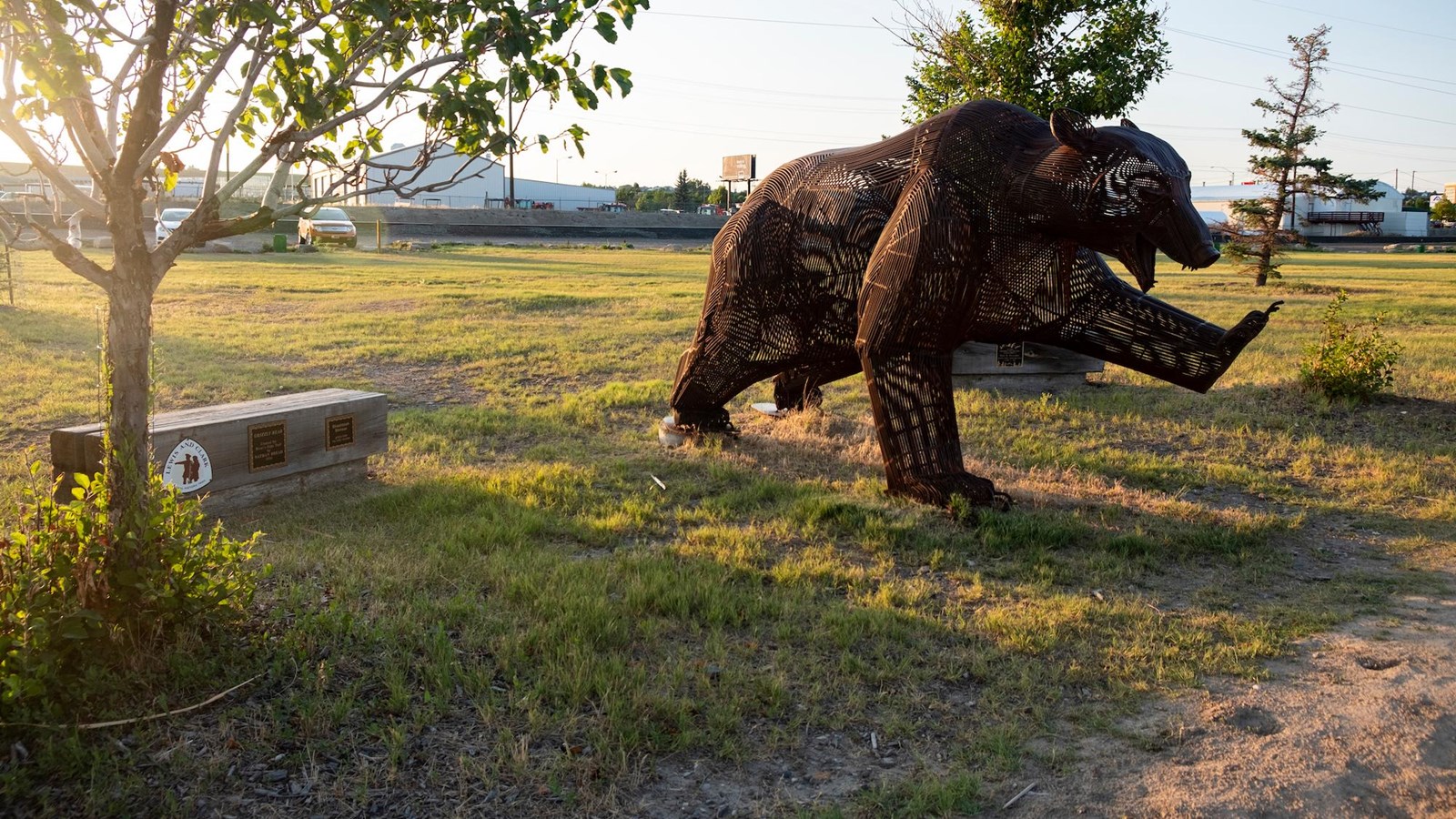
Reverse on Morony Dam Road all the way to US 87 and turn left to enter the City of Great Falls. Veer right onto Old Havre Highway and turn right onto Smelter Ave. In a few blocks, stay on the left side of the main road as it curves left and becomes 3rd St. NW. Just past the Jimmy John's sandwich shop and before the Taco Bell, turn left onto 17th Ave. NE. In a block, turn right onto 4th St. NE, cross the railroad tracks, and turn right into the long gravel parking lot for West Bank Park that parallels the river. Down a little ways, park in one of the pullouts past the building on your left. Walk through the grass to the River's Edge Trail to find the "Grizzly Bear" sculpture.
On June 14, 1805, the day after finding the Great Falls, Captain Lewis was walking alone when he took a shot at a bison bull with his rifle and neglected to reload it. Shortly thereafter, a grizzly bear chased after him. Unable to reload and get off a shot, Lewis sprinted into the water, turned around to face the beast, and pointed his espontoon (a tall pike with a diamond-shaped metal tip) in defense at the creature. The bear then wheeled around and departed as quickly as it had arrived. Lewis resolved thereafter to never fail to reload his weapon immediately after firing it. Created by Nathan Bread in 2008, the artwork stands at the approximate location where Meriwether Lewis encountered the grizzly.
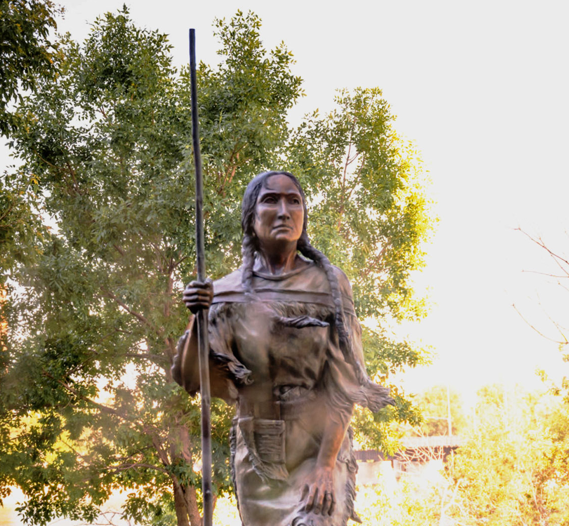
Reverse back out to 3rd St. NW and turn left. Turn left onto Central Ave. W (I-15 Bus.) and take a quick left into the lot for the US District Courthouse.
A version of Carol Grende's "Arduous Journey," sculpture was unveiled there on January 1, 2010. Rozina George, Sacajawea's great-great-great-niece, attended the ceremony and said Lewis and Clark's success "rode on the shoulders of this teenage girl, with her knowledge, fortitude and diplomacy." Like this one located on the southeast corner of the US District Court building by the river near the intersection of 3rd St. NW and Central Ave. W., similar sculptures are located in Lewiston, Idaho and Darby, Montana. Carol Grende died in March 2009.
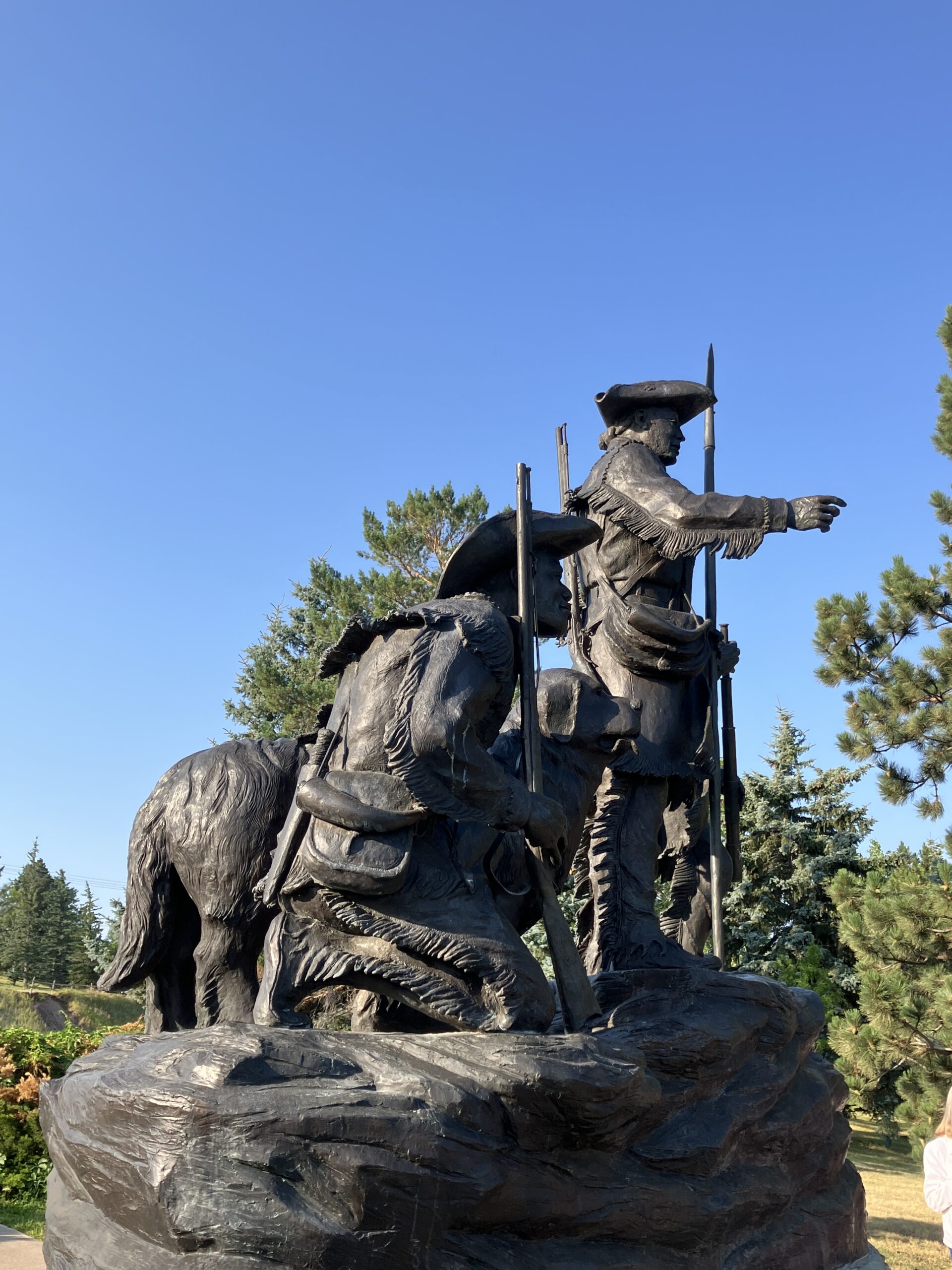
Take the bridge across the river and take the first right onto River Drive South. Continue about a mile under the 10th St. Bridge (I-15 Bus.) and loop around left onto Overlook Dr. Go to the top of the hill and park in the lot on the left.
Another sculpture by Bob Scriver stands prominently in Great Falls overlooking the river. "Explorers at the Portage," depicting Lewis, Clark, York, and the dog Seaman, was dedicated on July 4, 1989, as a Montana Centennial Project. In recent years, the sculpture was refurbished through the efforts of the Portage Route Chapter of the Montana Region of the Lewis & Clark Trail Alliance.
Located near the Great Falls Visitor Information Center, the sculpture is surrounded by tiles that list each member of the permanent party that reached the Pacific Ocean. Stop into the Visitor Center to get more information about other sights to see in Great Falls.
15 Overlook Dr, Great Falls, MT 59405, USA
Great Falls, Montana, USA
Great Falls Portage, Montana, USA
Lewis & Clark Interpretive Experience, West 14th Street, Helena, MT, USA
Lewis & Clark Interpretive Experience, West 14th Street, Helena, MT, USA
View ListingOur bi-weekly newsletter provides news, history, and information for those interested in traveling along along the Lewis & Clark Trail.