Down the Columbia
Snake River to Stonehenge
This trip follows the Lewis and Clark Expedition down the Columbia from the mouth of the Snake River to Maryhill. William Clark’s journal barely hints at the excitement they must have felt paddling for the first time on the Columbia River:
“Took our leave of the Chiefs and all those about us and proceeded on down the great Columbia river”
—October 18, 1805
From earlier explorers, the captains knew where the river would take them: the Pacific Ocean! The general route goes through Wallula Gap, veers south to the amazing Tamástslikt Cultural Institute of the Cayuse, Umatilla and Walla Walla, and continues down the more scenic Washington side to Maryhill.
Learn more at our educational website starting with October 16, 1805 and ending October 22, 1805.
See also: The Cayuses | The Umatillas | The Walla Wallas
You may also like our L&C Travel Magazine!
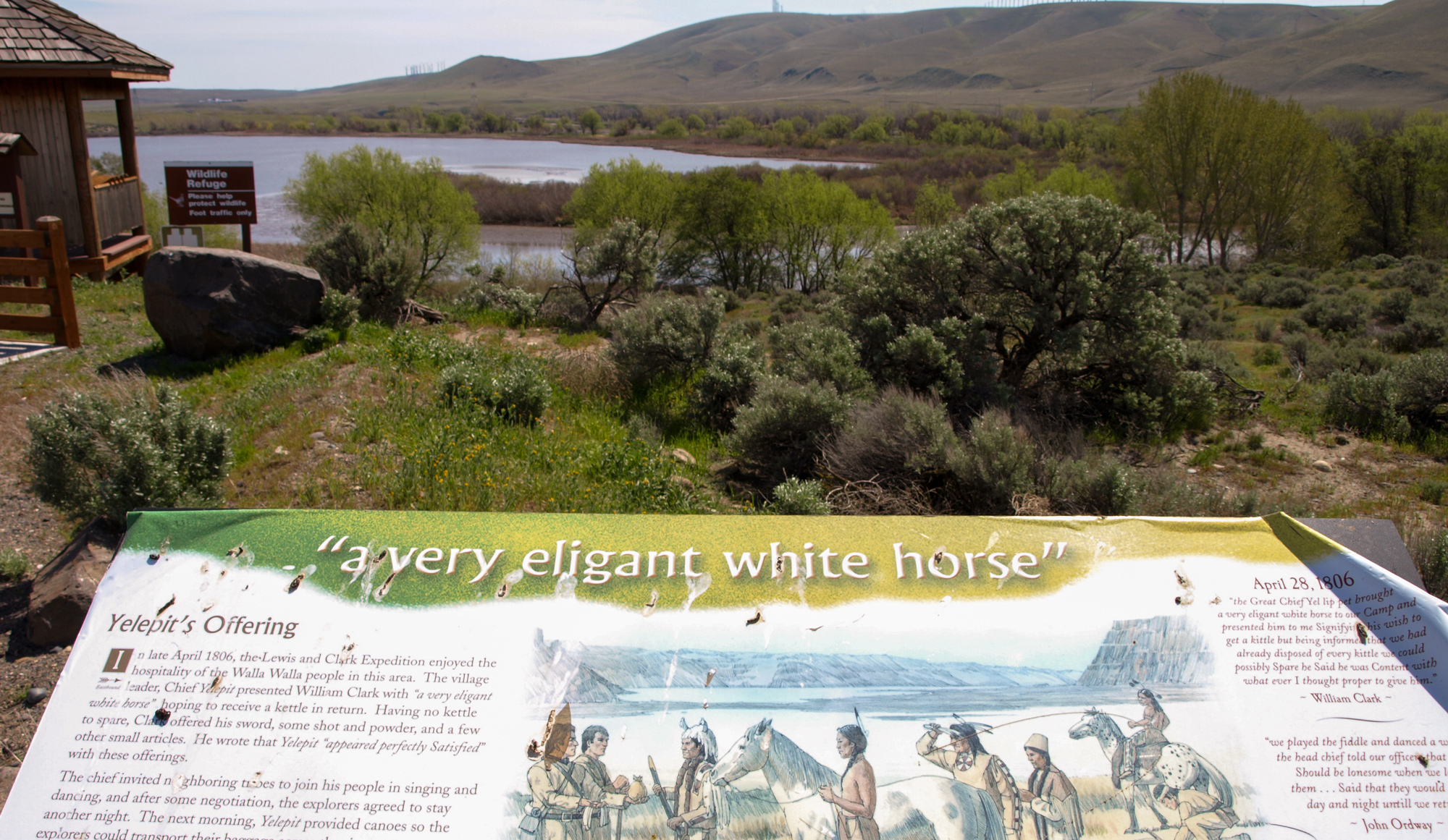
The Sacajawea Historical State Park and Interpretive Center features the Lewis and Clark Expedition through the eyes of Sacagawea. Interpretation includes the time the Corps of Discovery camped here on October 16 and 17, 1805. Explore the importance of the land and resources of the area for the people who have called the Snake-Columbia confluence home for thousands of years.
It was at this place where a memorable greeting was given to the Expedition by several Nations who were catching and drying salmon:
. . . about 200 men Singing and beeting on their drums Stick and keeping time to the musik . . . formed a half circle around us and Sung for Some time, we gave them all Smoke . . . .
—William Clark
The park has a swimming beach, boat launches, picnic areas, and walking trails. Prominent on the point between two rivers is an installment of “The Confluence Project” by celebrated artist, Maya Lin. The “Story Circles” celebrate the native cultures, languages, flora, fauna, geology, and natural history of the confluence of the Snake and Columbia Rivers.
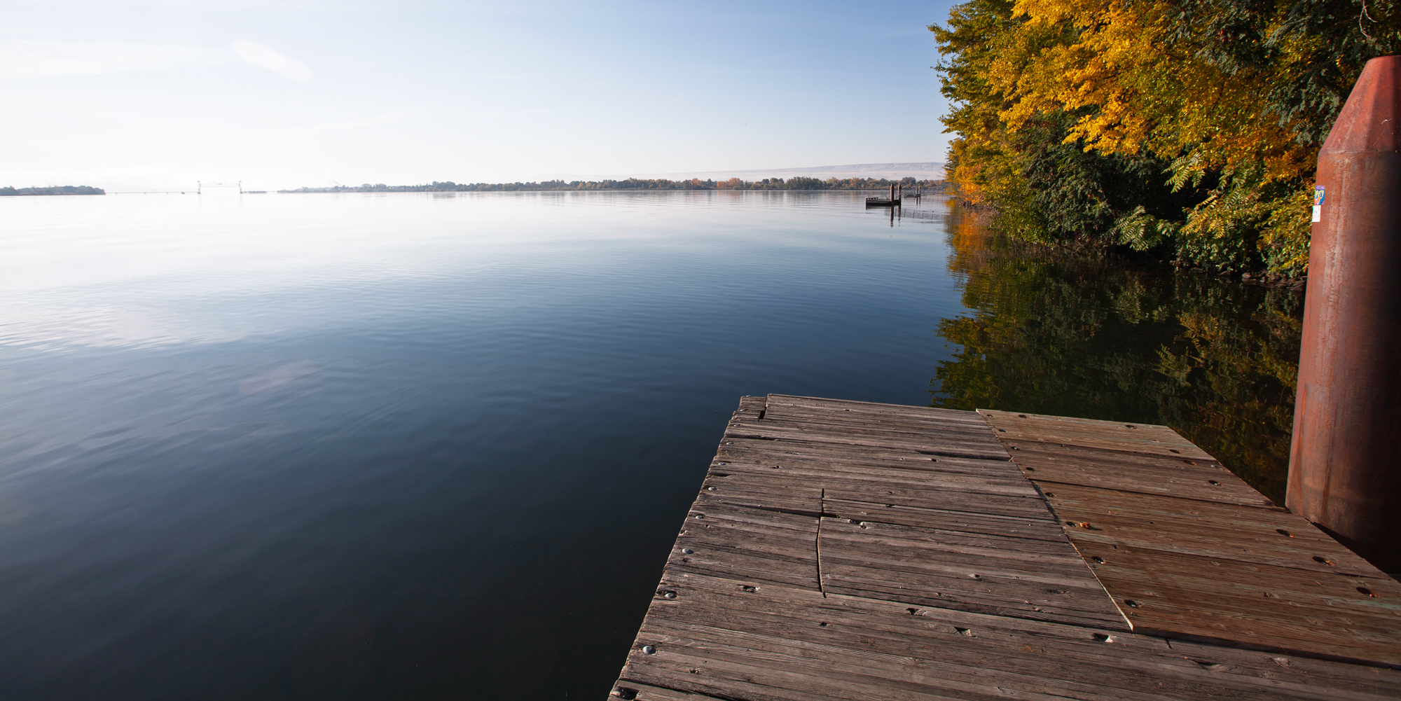
The park is also located at the southern terminus of the paved Sacagawea Heritage Trail which follows the Columbia River 23 miles passing through all three cities: Pasco, Richland, and Kennewick.
The park is typically open for day use only.
https://parks.wa.gov/find-parks/state-parks/sacajawea-historical-state-park
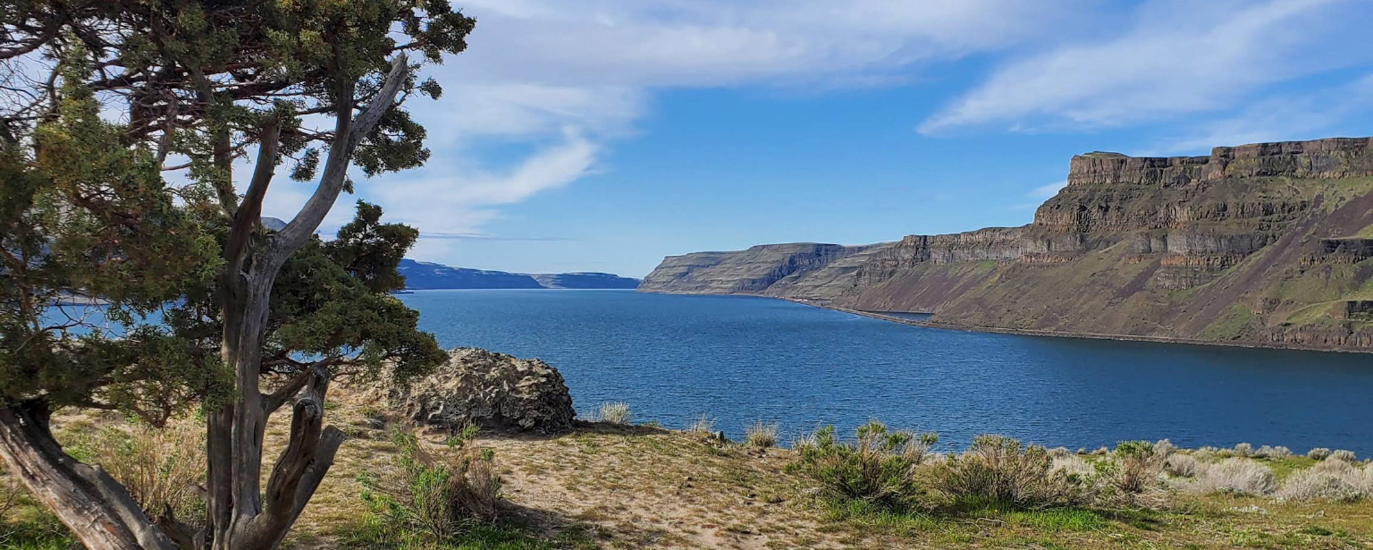
It’s amazing that on October 18, 1805, the Lewis and Clark Expedition passed by—and camped just below—Twin Sisters Rock without specifically mentioning it in any of the journals. Clark was in awe of the cliffs engulfing both sides of the Columbia River in present Wallula Gap:
“the Countrey rises here about 200 feet above The water and is bordered wth black rugid rocks”
—William Clark
Today, the short climb to the base of the rock is worth the time and provides an excellent view of Columbia River meandering through Wallula Gap. The hike is about a one-mile round trip.
Twin Sisters Rock is a basalt formation shaped by the Missoula floods about 10,000 to 20,000 years ago. At the trailhead, there is a sign telling the Native American legend of the two sisters. Social trails lead onto private land, so stay on the main trail. By County Ordinance climbing is not allowed on the rocks.
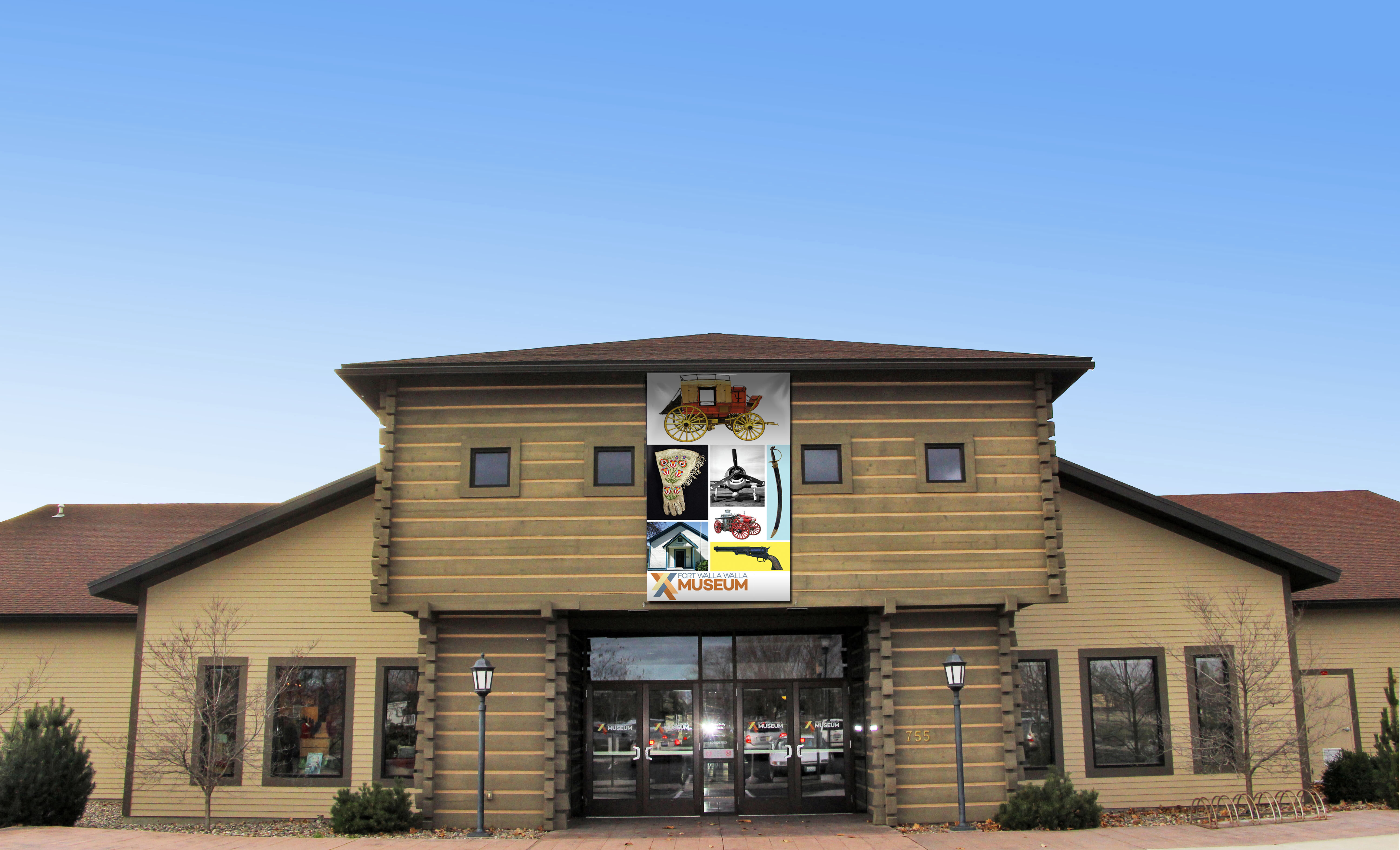
Fort Walla Walla Museum, Northeast Myra Road, Walla Walla, WA, USA
28 mi
View Listing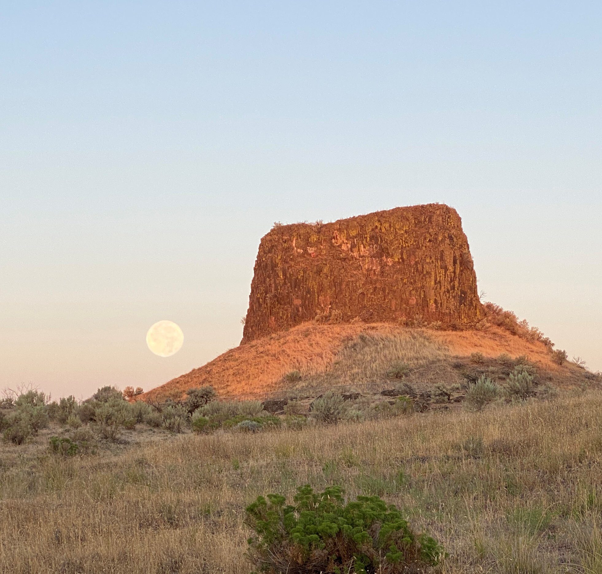
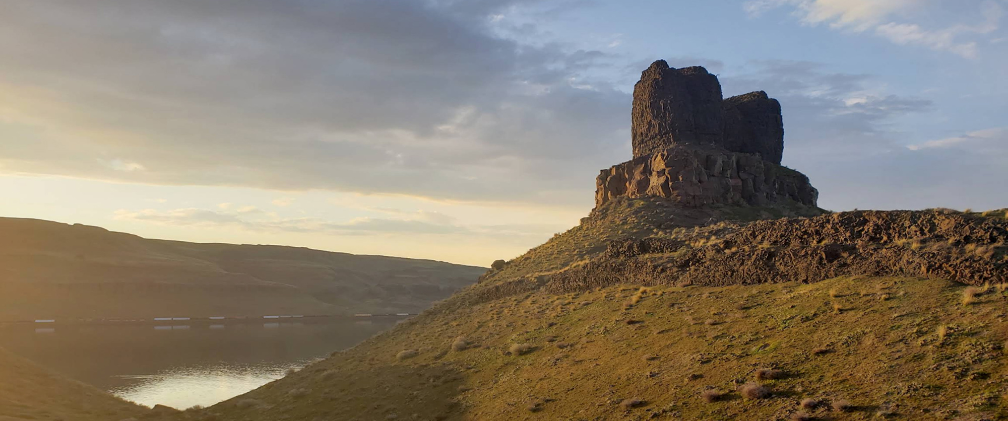
Hat Rock is a natural monolith of basalt carved by floods from glaciers melting over ten thousand years ago. Hat Rock was the first distinctive landmark passed by the Lewis and Clark Expedition on their journey down the Columbia, and Clark noted it resembled a hat.
The park is a desert oasis surrounded by rolling sagebrush hills and outcroppings of basalt. This special place offers visitors a chance to escape the summer heat under the shelter of cottonwood and black locust ringed by acres of green grass. A boat ramp provides access to the lake, which is noted for walleye, sturgeon, and other fish. Water skiing, jet skiing, swimming, and boating are popular here. The park has its own pond stocked with rainbow trout and provides year-round habitat for waterfowl.
The Hat Rock Trail ascends to the base of Hat Rock. Interpretive panels tell about the area’s wildlife and past volcanic activity. A short spur leads across the pond to the 10-mile Umatilla County Lewis and Clark Commemorative Trail and Lake Wallula overlook. You will find information there about the trail and the Lewis and Clark expedition.
https://stateparks.oregon.gov/index.cfm?do=park.profile&parkId=12
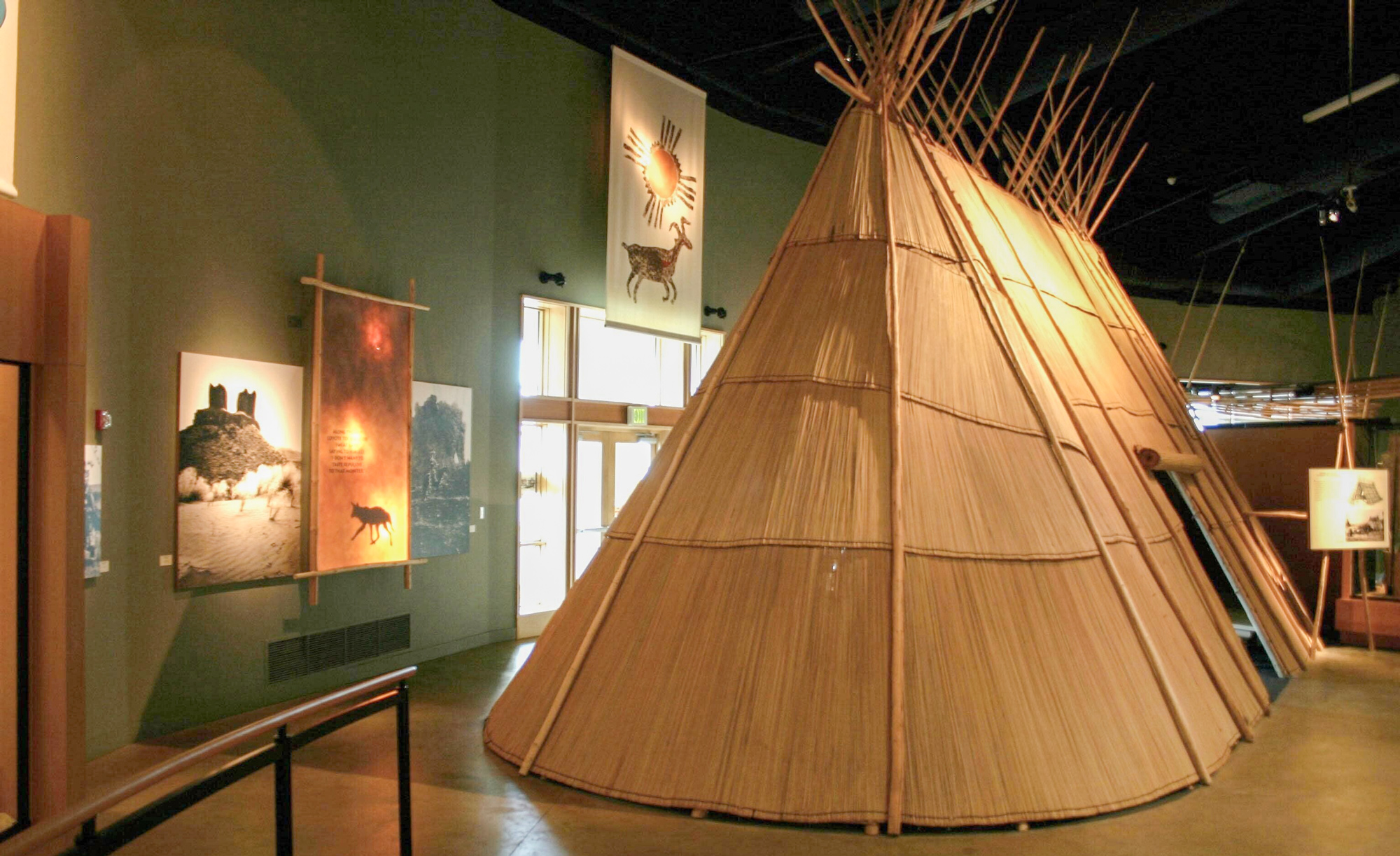
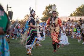
Tamástslikt Cultural Institute tells the story of three American Indian Tribes, the Cayuse, Umatilla and Walla Walla, who for more than 10,000 years inhabited the Plateau region of the Pacific Northwest. They welcomed and assisted the Lewis and Clark Expedition in the fall of 1805 and spring of 1806. Some 40 years later, the Oregon Trail cut through the heart of their homelands.
Tamástslikt brings the story alive with a 14,000 square foot exhibit space that incorporates artifacts, photography, video and interactive multi-media in world class exhibits. Events enables visitors to immerse themselves in Tribal culture. The Museum Store sells American Indian art and crafts, as well as books, music, apparel, home décor, and Pendleton Woolen Mills exclusive blanket designs. Kinship Café serves Native-inspired lunch fare daily.
Wildhorse Resort & Casino, 46510 Wildhorse Blvd, Pendleton, Oregon, USA
1 mi
View Listing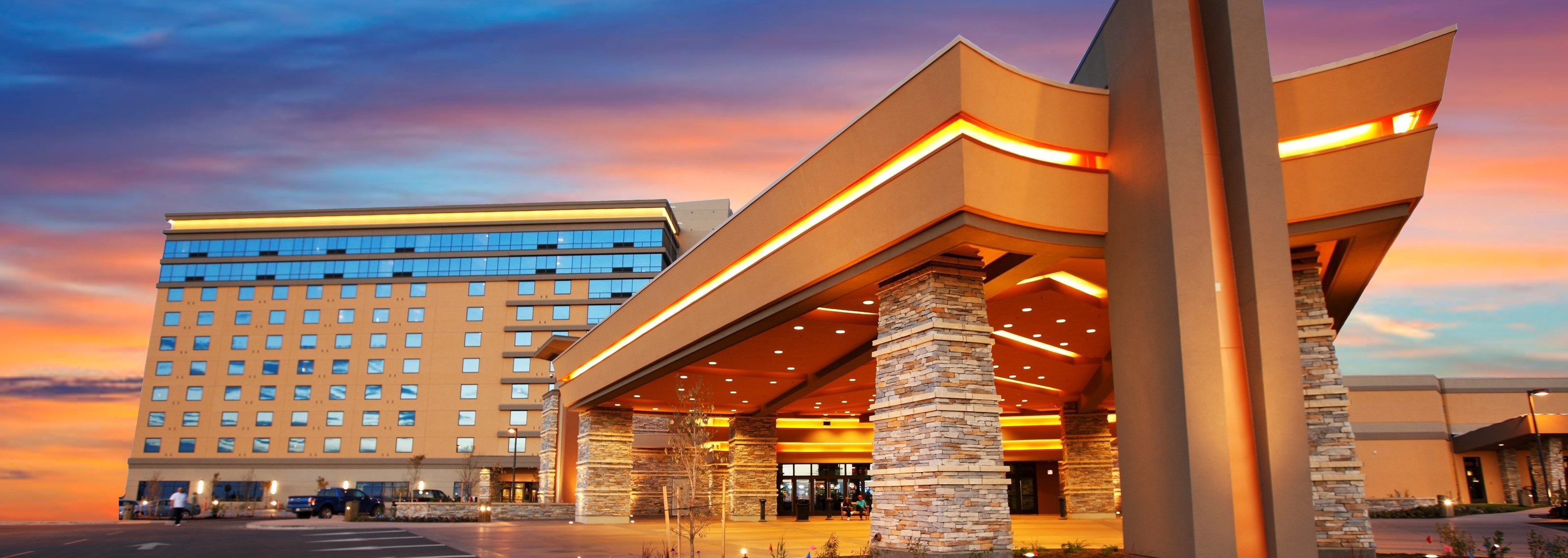
Wildhorse Resort & Casino, Wildhorse Boulevard, Pendleton, OR, USA
1 mi
View Listing
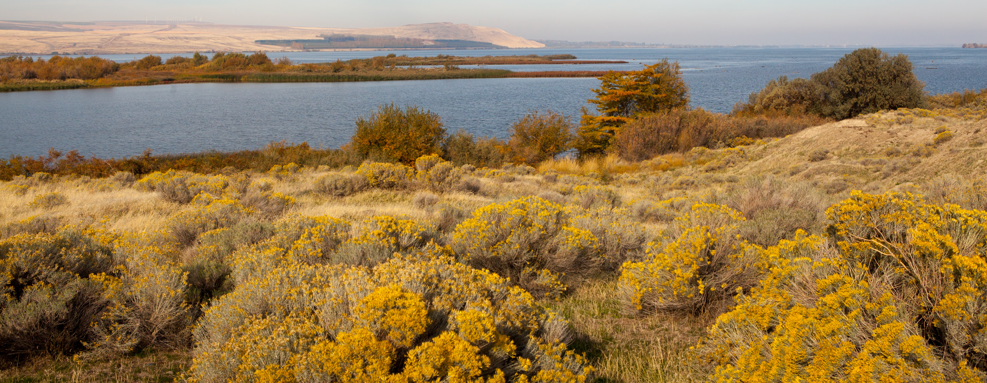
If you are traveling on the Washington side of the Columbia River between Maryhill and Plymouth, this overlook gives a unique view of the Lewis and Clark Expedition’s camp the night of October 19, 1805. They set up on the opposite shore near Boardman, Oregon, and five members encamped on one of the several islands here:
“here we came too and camped, 19 of them on the Stard. Side & 5 on an Island in the middle of the river, about 100 Inds. come over Some brought wood and we gave Smoke to all which they were pleased at . . . . P. Crusat played on the Violin . . . .”
William Clark (Oct 19)
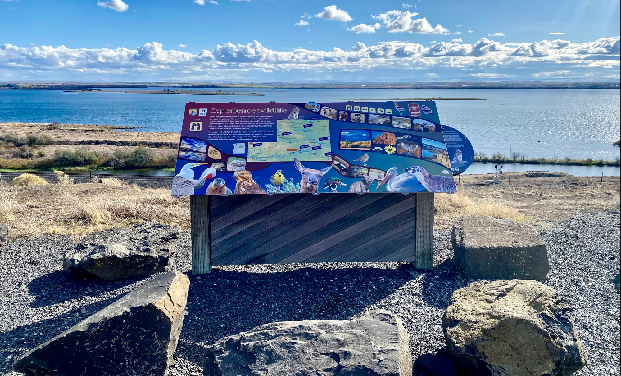
With the pooling of the water behind John Day Dam, only the tops of the islands are above the waterline and the rapids have vanished. At the viewpoint, there is a wide, graveled parking area with an interpretive sign explaining the area’s wildlife. The Umatilla Wildlife Refuge is across the river.
As the Lewis and Clark Expedition led their packhorses up the Washington side of the Columbia River on April 24, 1806, Lewis noticed that the high hills of the Columbia River Gorge had given way to the dry plains:
“there are now no dews in these plains, and from the appearance of the earth there appears to have been no rain for several weeks.—”
—Meriwether Lewis
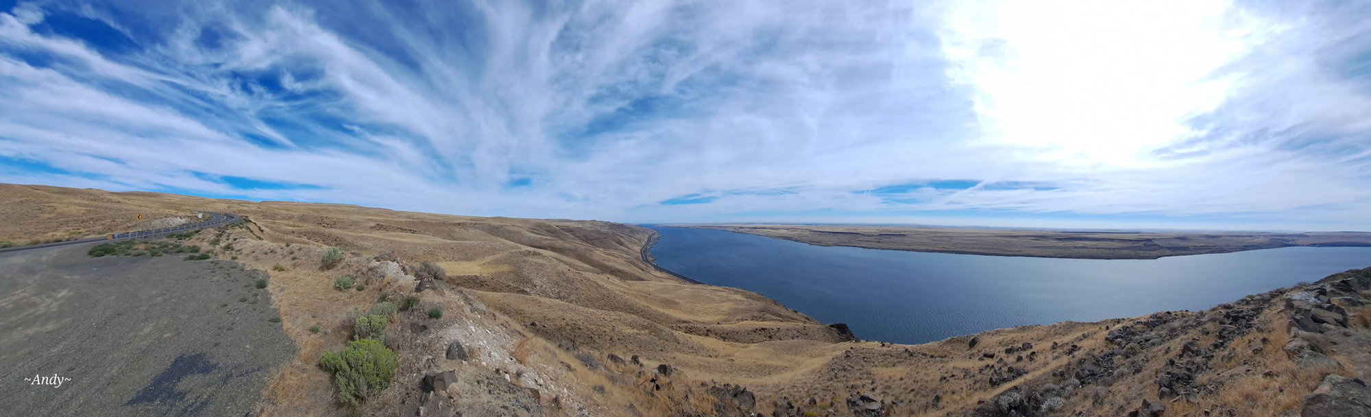
One of the best views of those dry plains is this viewpoint above the tiny town of Roosevelt. Near the crest of the paved Roosevelt Grade, is a wide, graveled and level pullout providing outstanding views of the Columbia River to the east and west. At the bottom of the grade, Roosevelt has a small store and place for a picnic: Roosevelt Park Recreation Area.
Roosevelt Park Recreation Area, Roosevelt Ferry Road, Roosevelt, WA, USA
4 mi
View Listing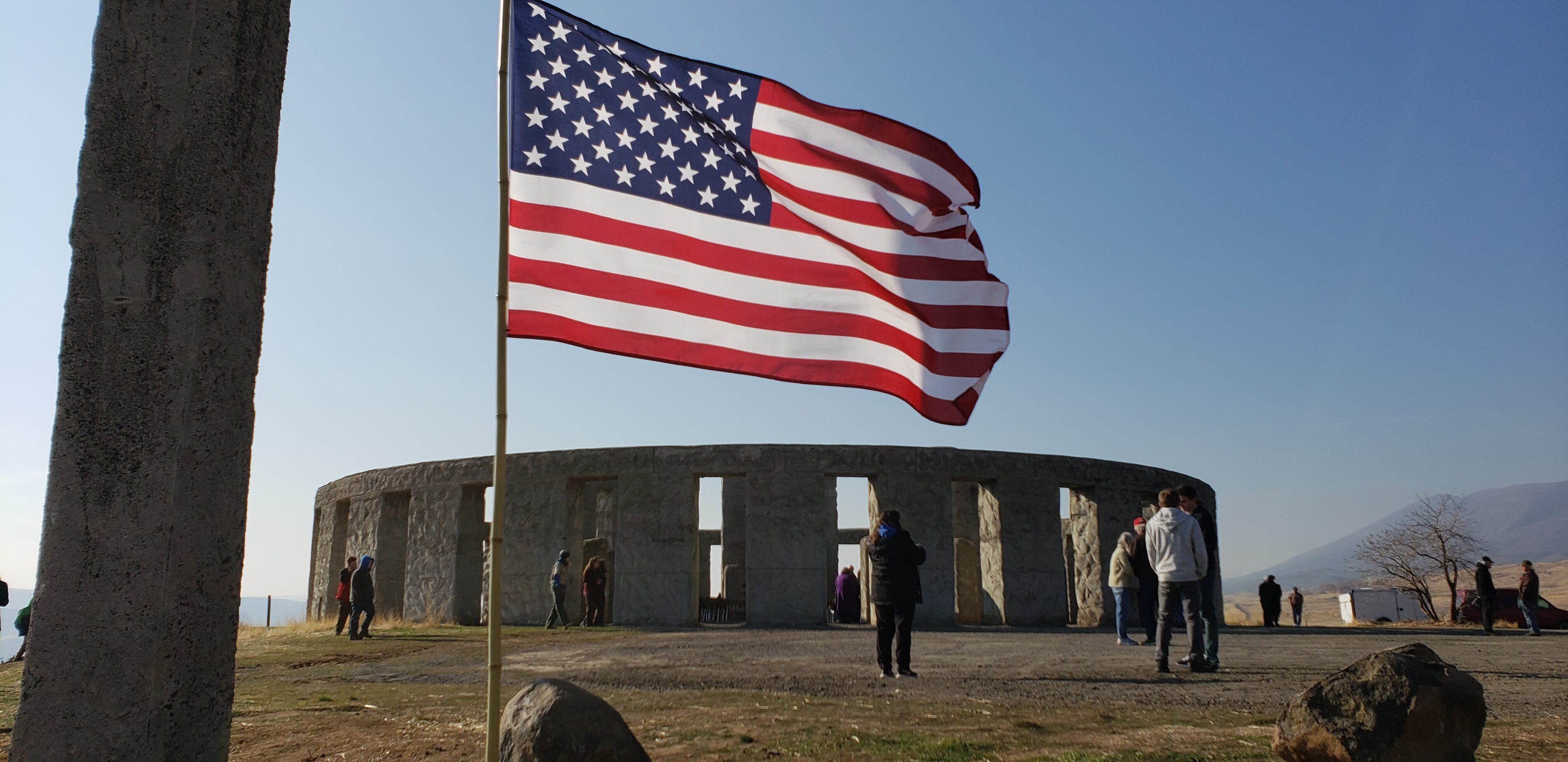
Near the town site of Maryhill, Washington, three miles east of Maryhill Museum of Art, stands a full-scale replica of Stonehenge built by museum founder Sam Hill.
Erected as the nation’s first WWI memorial and dedicated in 1918 to the servicemen of Klickitat County, Washington, who died in the service of their country during the Great War, Hill’s Stonehenge Memorial is a monument to heroism and peace.
Both Stonehenge Memorial and the Klickitat County Veterans Memorial are open daily 7 a.m. to dusk. Admission is free.
https://www.maryhillmuseum.org/outside/stonehenge-memorial
From Maryhill, you can continue through the Columbia River Gorge along either down the Washington side or Oregon side of the Columbia. If you are looking for gas or food, both are available at Biggs Junction across the river.
Maryhill State Park Visitor Center, Maryhill State Park Drive, Goldendale, WA, USA
2 mi
View Listing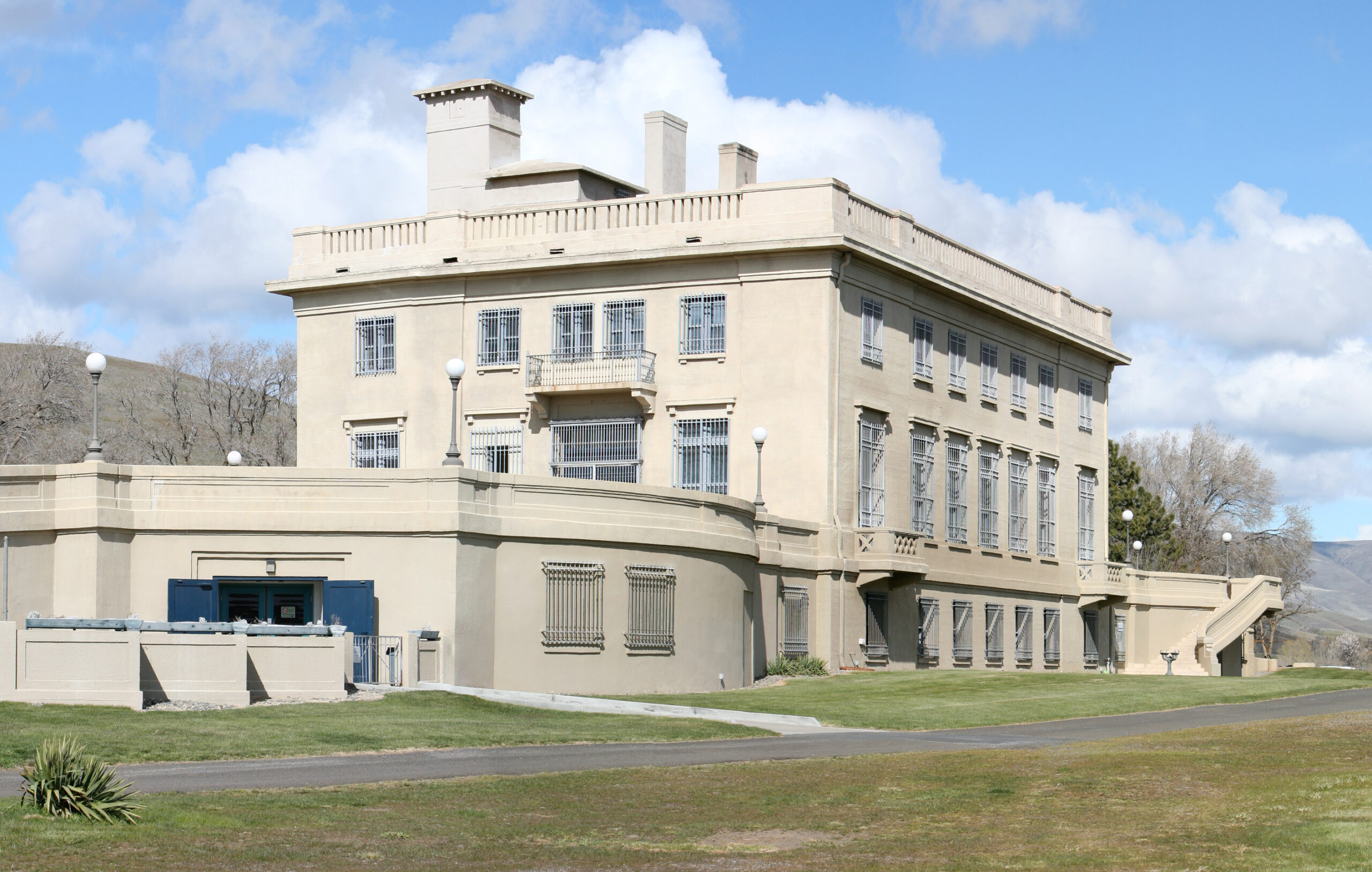
Maryhill Museum of Art, Maryhill Museum Dr, Goldendale, WA, USA
3 mi
View Listing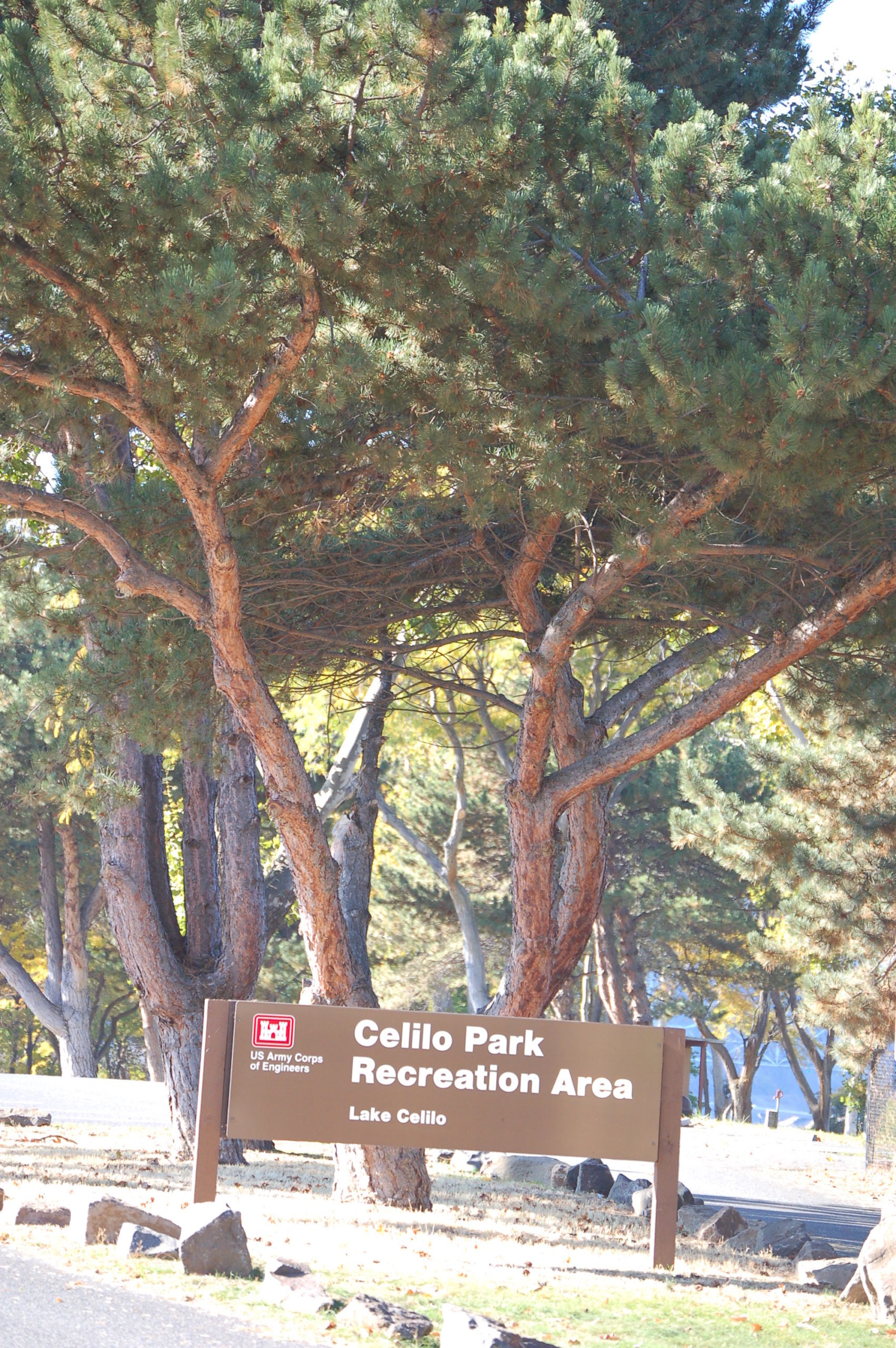
Our bi-weekly newsletter provides news, history, and information for those interested in traveling along along the Lewis & Clark Trail.


