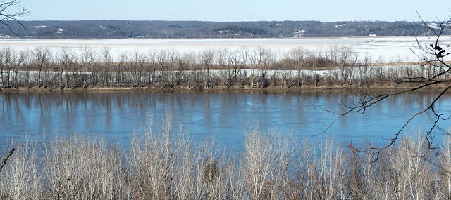
On May 21, 1804, the Expedition departed from St. Charles, reaching the mouth of Moniteau Creek on June 7th, near what is now Rocheport. Traveling westward from St. Charles, you can trace their path on both sides of the river. On the south side you will see spectacular bluffs and the Missouri Wine Country. On the north side you can enjoy following the KATY Trail, which runs parallel to the northern bank of the Missouri River.
“a Short distance above the mouth of this Creek, is Several Courious Paintings and Carveing in the projecting rock of Limestone inlade with white red & blue flint, of a verry good quallity, the Indians have taken of this flint great quantities.” —William Clark
The trail allows users to travel through some of the most scenic areas of the state. The majority of the Katy Trail closely follows the route of the Missouri River so trail users often find themselves with the river on one side and towering bluffs on the other. The trail travels through many types of landscapes including dense forests, wetlands, deep valleys, remnant prairies, open pastureland and gently rolling farm fields.
Check the Lewis and Clark Trail Experience Events page as you plan your visit to find additional festivals, programs, and events along your route
You may also like our L&C Travel Magazine!
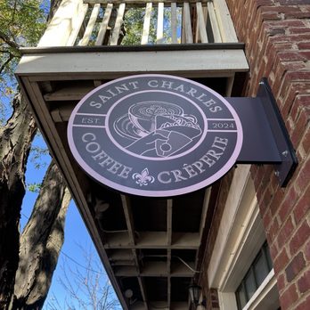
Adjacent to the Lewis and Clark Boathouse in historic St. Charles is a trailhead for the Katy Trail, one of the longest rail to trail conversions in the United States. Start your journey here by visiting the Boathouse, enjoying great dining and walking the brick streets of Missouri’s First Capitol.
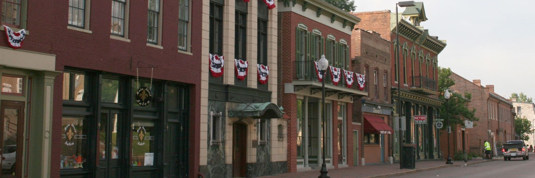
St. Charles Historic District, Saint Charles, MO, USA
0 mi
View Listing
1190 S Main St, Saint Charles, MO 63301, USA
1 mi
View Listing
380 Mulholland Dr, Saint Charles, MO 63303, USA
1 mi
View Listing
Welcome to Katy Trail State Park, the longest developed rail-trail in the country. Katy Trail State Park attracts people of all ages and interests. Whether you are a bicyclist, walker, equestrian, nature lover or history buff, the trail offers opportunities for recreation, a place to enjoy nature and an avenue to discover the past.
The park, built on the former corridor of the Missouri-Kansas-Texas Railroad (MKT or Katy), is 240 miles long and runs between Clinton and Machens with 26 trailheads and four fully restored railroad depots along the way. The section of trail between Cooper County and St. Charles County has been designated as an official segment of the Lewis and Clark National Historic Trail. Katy Trail is also part of the American Discovery Trail, has been designated as a Millennium Legacy Trail and was added to the Rails-to-Trails Conservancy Hall of Fame in 2008.

400 West Front Street PO Box 226 Washington, Missouri 63090
26 mi
View Listing
Washington Historical Society, East 4th Street, Washington, MO, USA
26 mi
View Listing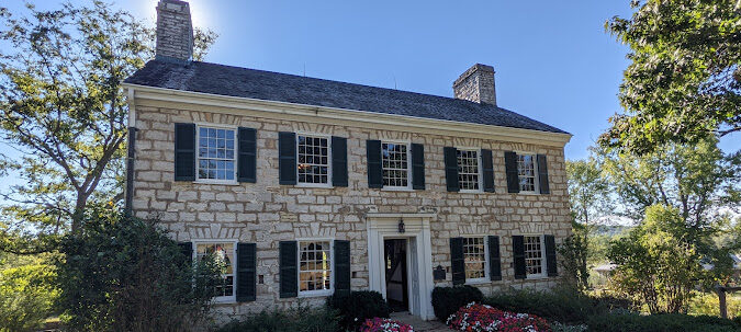
Visitors will learn about the Boone Family and the many sides of Missouri’s territorial era history, including lifeways, American Indian History, Black History and more. Guided tours are available for a fee during park hours. Tours last approximately one hour and go through three floors of the Boone Home. The site also offers tours of the village, living history programs, and artisan demonstrations seasonally throughout the year. Call to see what’s on this week! Groups of 10 or more wanting to tour the Home should make a reservation at least two weeks in advance by calling the St. Charles County Parks Department at 636-949-7535.
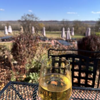
Defiance Ridge Vineyards, South Missouri 94, Defiance, MO, USA
4 mi
View Listing
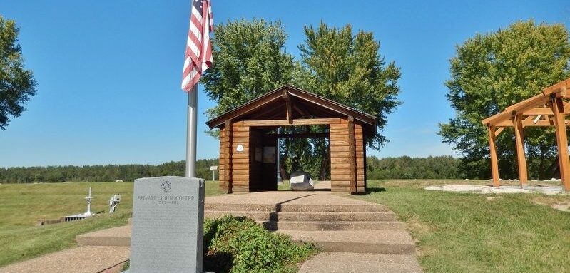
Marker is in New Haven, Missouri, in Franklin County at the intersection of Main Street and Miller Street, on the left when traveling east on Main Street. Marker is located beside the sidewalk at the front center of John Colter Memorial Park, directly in front of the park flag pole. Military records show that Private John Colter died May 7, 1812, while serving in the United States Mounted Rangers, commanded by Nathan Boone, son of Daniel Boone.
His gravesite has never been located, but it is believed that Colter was buried several miles east of here on a bluff top overlooking the Missouri River.
Pinckney Bend Distillery, 1101 Miller St, New Haven, MO 63068, USA
1 mi
View Listing
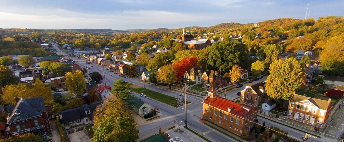
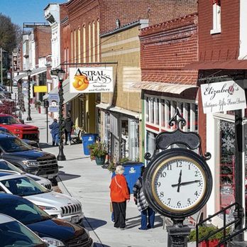
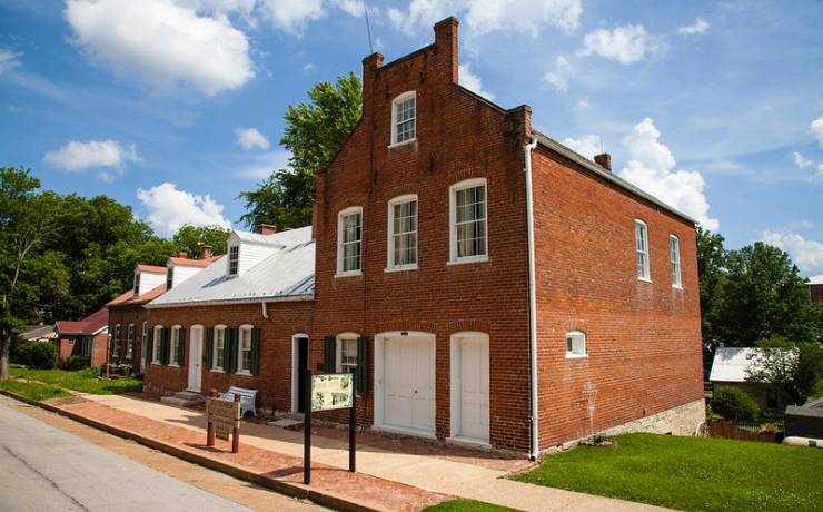
Hermann is located on the south side of the Missouri River, requiring a brief detour across the Highway 19 bridge. This charming town in mid-Missouri is a popular tourist destination with a rich history dating back to 1837, when the German Settlement Society of Philadelphia purchased the land with the goal of preserving German traditions and culture.
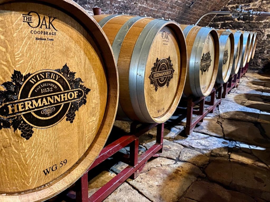
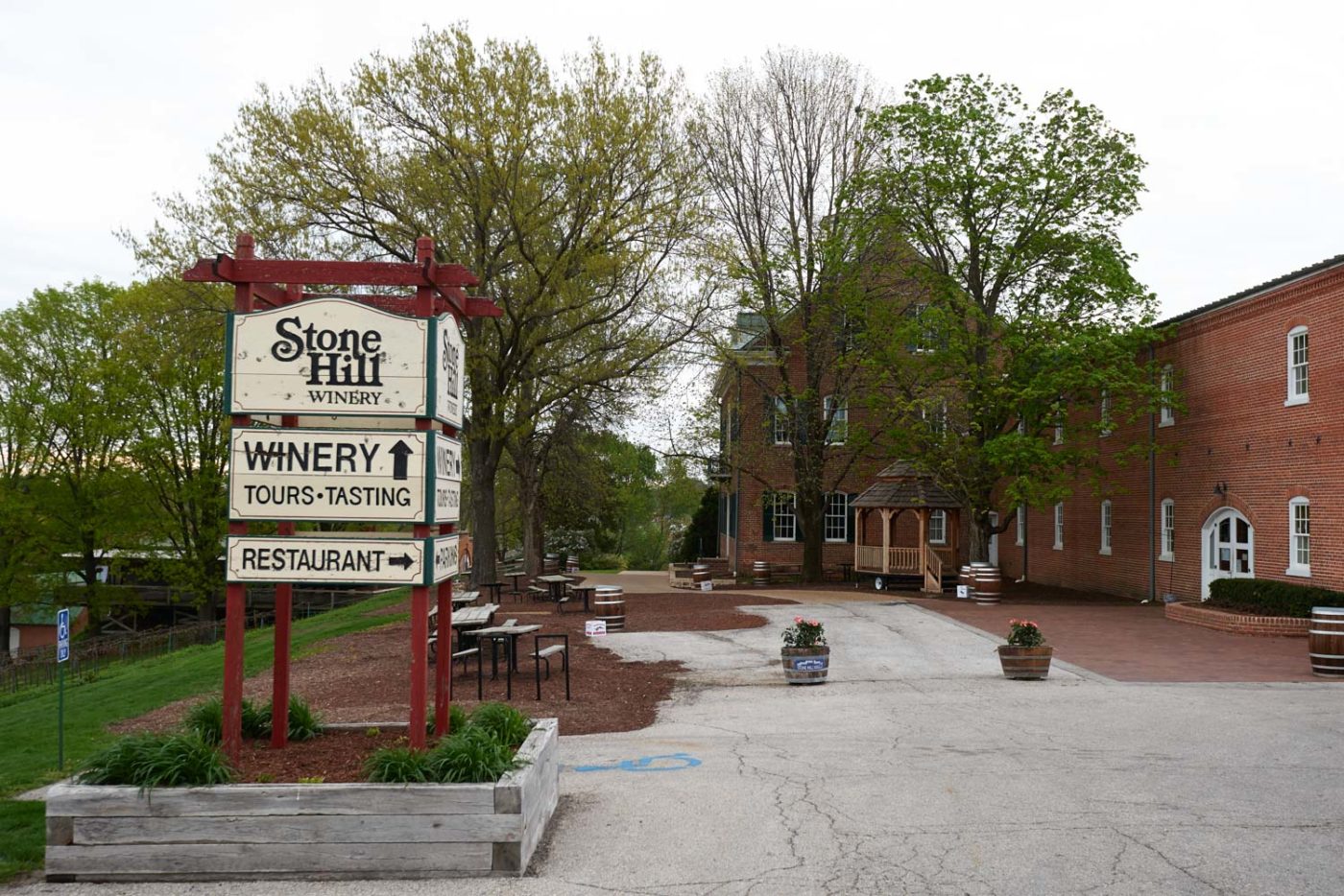
The first settlers arrived in 1838, only to discover the steep, rocky hillsides. By the early 1900s, 66 wineries operated in and around Hermann, though the wine industry came to a halt with Prohibition in 1919. It wasn’t until the 1960s that winemaking returned to the region. Today, seven wineries thrive in the area, drawing many visitors to Hermann.
The town still retains its Old World charm, with a five-block area designated as a national historic district and several properties listed on the National Register of Historic Places. Hermann’s German heritage is celebrated annually with Maifest in May and Oktoberfest in October.
One highlight is the Hermann Wine Trail, a scenic 30-mile route along the Missouri River between Hermann and New Haven. The trail features seven family-owned wineries, offering tastings, tours, and hosting a variety of wine and food events throughout the year.
A hill near Osage City in Cole County has been identified as one of the landmarks visited by the Expedition. Capt. Clark’s description of the hill helped historians pinpoint the actual hill itself. Between June 1 and 3, 1804, the expedition camped near the base of what is now known as Clark’s Hill. At that time, the Osage and Missouri rivers merged at this point. Clark ascended this hill to make observations about both rivers and noted them and the view in his journal.
“I measured the Osage & Missouris at this place made ther width as follows, the Missourie 875 yd. Wide The Osage R 397 yds. Wide, the distance between the 2 rivers 80 poles [16.5 feet] up is 40 ps… I assended the hill in the point 80 ps from the pt. Found it about 100 foot high, on the top is 2 graves, or mouns, a Delightfull prospect from this hill which Comds. [commands] Both rivers”
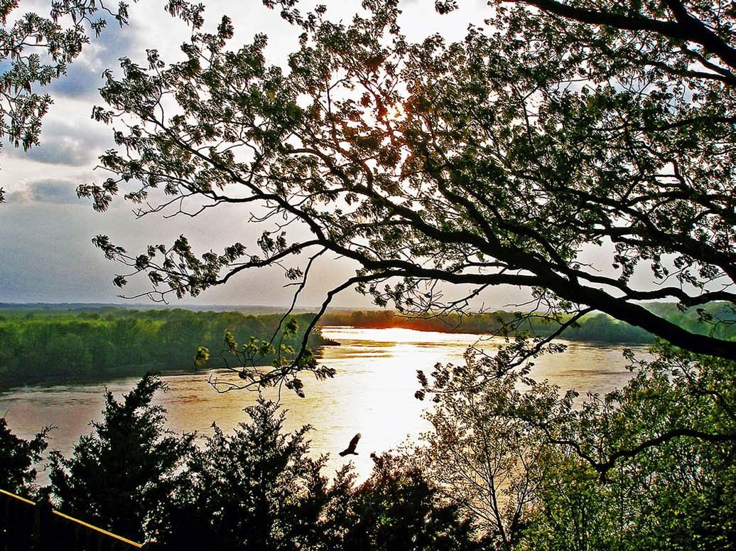
From the description given by Clark, visitors will find evidence of how much the area and the rivers have changed in the last 200 years. Clark viewed the confluence of the Osage and Missouri rivers from a rock on top of the hill. Today, from the same point, visitors can see the Missouri River to the left and the Osage River to the right. However, the rivers now merge together approximately 6 miles downstream near Bonnots Mill, making the view markedly different from what Clark saw. The measurements taken of the Missouri River also show that it was much wider in 1804 than it is today, mainly due to channelization.
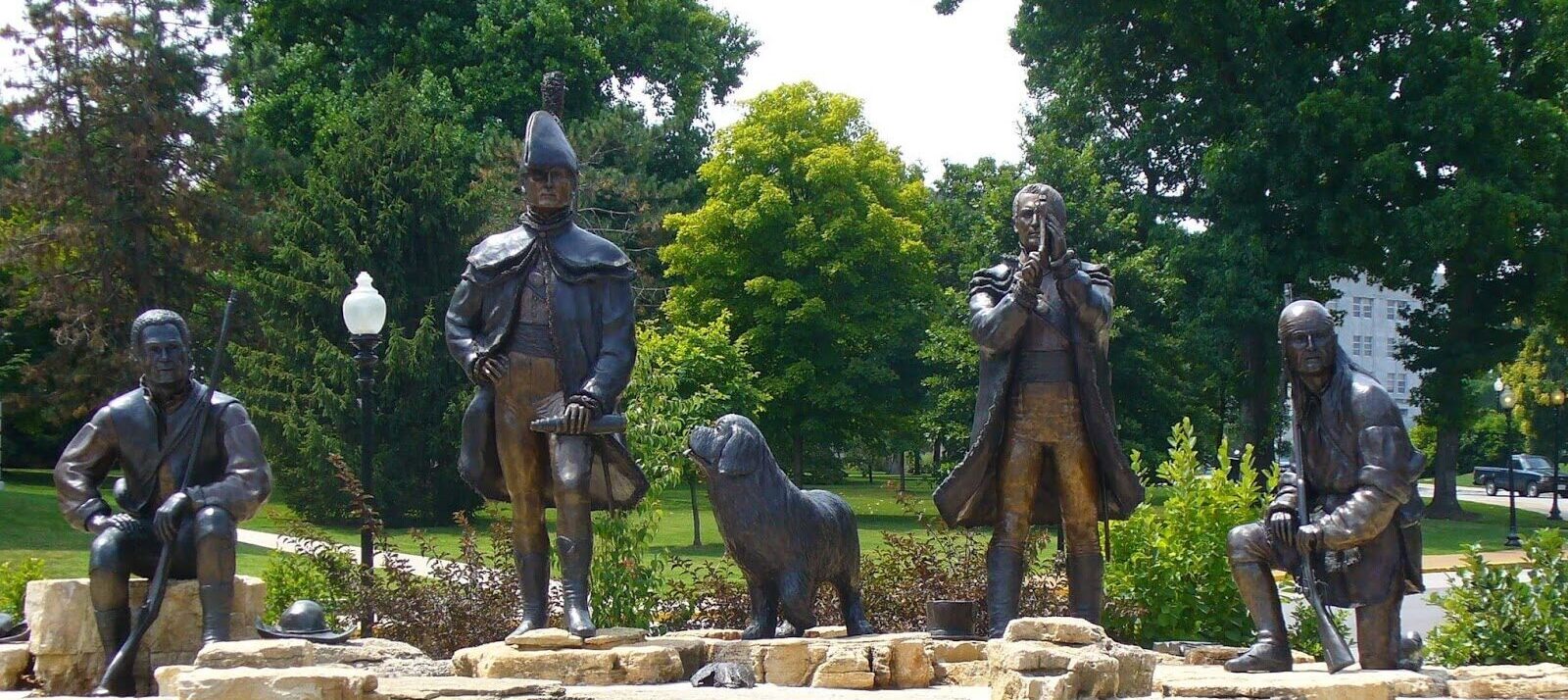
Visit the Missouri State Capitol and nearby environs to experience the Lewis & Clark Trail. You can start your visit at the Missouri State Capitol. First, examine the Capitol grounds. Just a half-block east of the Capitol, you can visit the Lewis and Clark KATY Trailhead Plaza. The plaza features statues of Meriwether Lewis, William Clark, York, George Druillard, and Lewis’ dog Seaman. The plaza commemorates June 4, 1804, when the expedition camped in the area. Then, proceed to the north side of the Capitol to view the Louisiana Purchase statue, originally designed for the 1904 World’s Fair. One can get a great view of the Missouri River from this location. On the south side of the Capitol is a large statue of Thomas Jefferson, commemorating the namesake for the city.
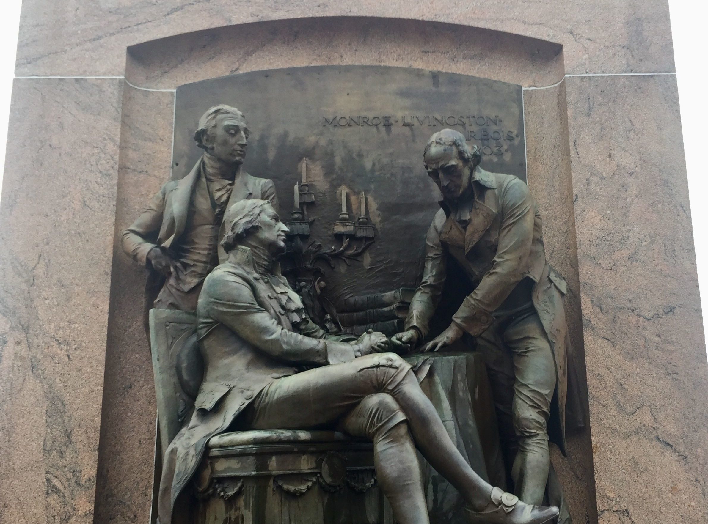
After touring the Capitol grounds, venture inside to see the Missouri State Museum, which encompasses both wings on the first floor, to learn about the history and resources of the state. The governor’s portraits in the first-floor, west wing have paintings of both Lewis and Clark honoring their respective terms as Missouri Territorial Governors. Throughout the Capitol are a variety of artworks related to the expedition. Proceed to the second floor hallway to view the lunette mural titled, “Lewis and Clark at the Mouth of the Osage River.” Then go up one floor to the third-floor Rotunda to view the Lewis and Clark statues and associated lunettes. From the windows of the Senate viewing gallery doors on the fourth-floor you can view the large mural titled, “Jefferson, Lewis and Clark.”
After seeing the resources of the Capitol Complex, venture downtown for coffee, lunch, and shopping. Then go to the Jefferson City Greenway Skywalk Trail to walk over the Missouri River (adjacent to the highway bridge) and have a splendid view of downtown Jefferson City. At the Carl R. Noren Access, you can walk right up to the river’s bank. The Noren Access will also lead you to the KATY hiking/biking trail, which crosses virtually the entire state east-west.

Missouri State Museum, West Capitol Avenue, Jefferson City, MO, USA
0 mi
View Listing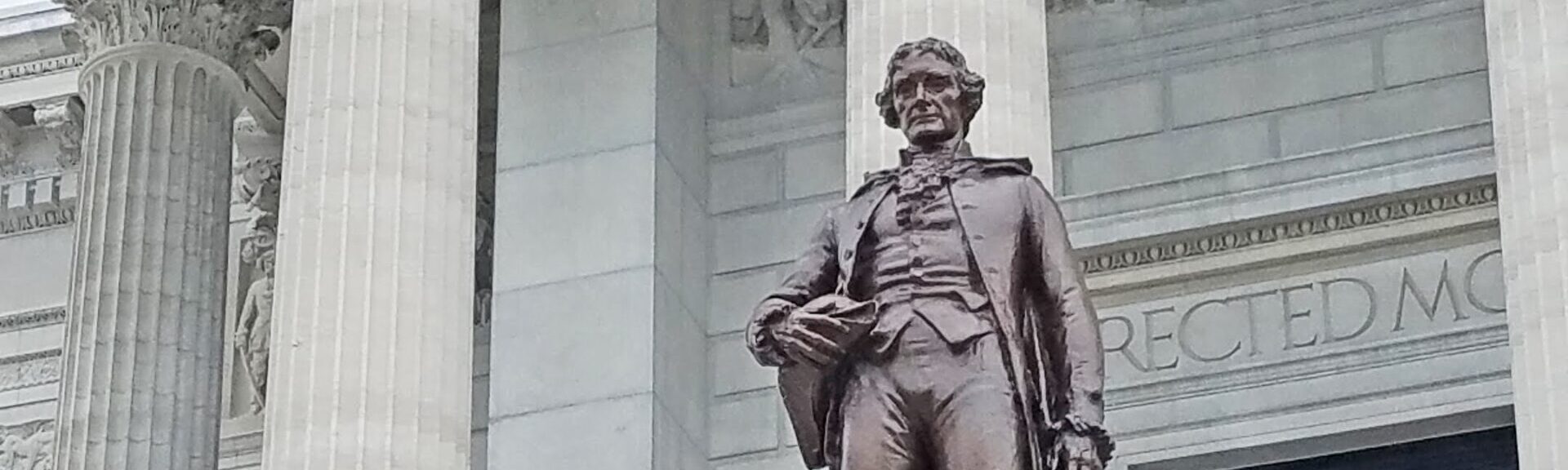
Near Columbia, Missouri you’ll find a rare natural landmark. For nearly 400 years it has stood strong, withstanding storms, droughts, floods, vandalism and the progress of humankind.
Estimated to be between 350 and 400 years old, locals know it as “the big tree.” It stands alone – no other tree is within 1,000 feet. As the largest burr oak tree in Missouri the tree’s trunk, with an impressive 287-inch circumference, is approximately 90 feet tall with a 130-foot spread
Since it stands about a half-mile from the banks of the Missouri River, the men of the Expedition would have traveled within sight of the majestic tree. Even then it would have been a large, magnificent landmark at just under 200 years old.

Cooper's Landing Riverside Resort & Marina, Smith Hatchery Road, Columbia, MO, USA
7 mi
View Listing
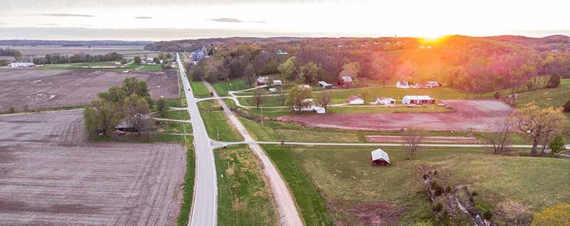
Lewis and Clark traveled through the area that became Rocheport, Missouri, (population 208) on June 7, 1804. A more permanent settlement at the convergence of the Missouri River and Moniteau Creek came later, and Rocheport was founded in 1825, serving as a trading post for settlers and Native Americans.
Rocheport grew rapidly, paralleling the development of steamboat transportation on the Missouri River. The Civil War subjected the town to frequent guerilla raids by Confederate and Union troops alike. After the Civil War, Rocheport prospered as a business center, and in 1892 the Missouri, Kansas, and Texas Railroad was built through the town.
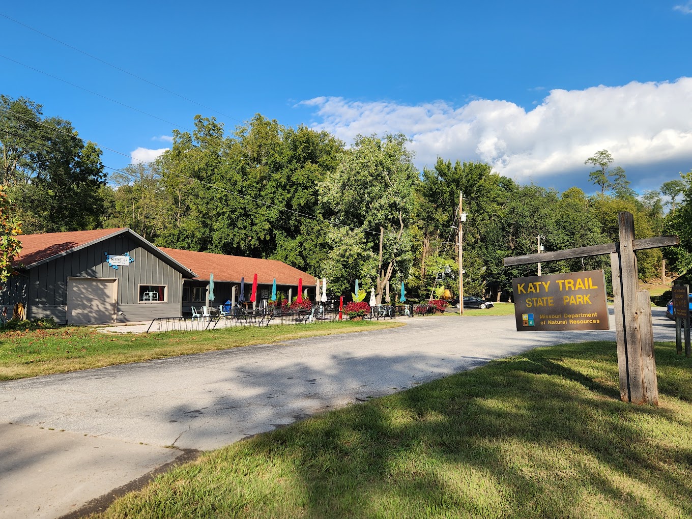
Meriwether Cafe and Bike Shop, 1st Street, Rocheport, MO, USA
0 mi
View Listing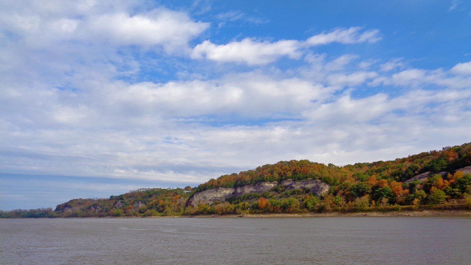
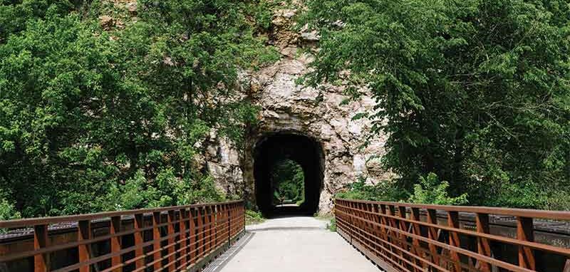
Katy Trail - Rocheport Tunnel, Katy Trail, Rocheport, MO 65279, USA
0 mi
View Listing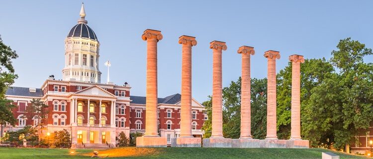
Thomas Jefferson’s descendants in 1883 donated to the University of Missouri Jefferson’s original tombstone. Jefferson personally designed the marker and placed on it what he believed were his three greatest achievements: author of the Declaration of Independence, author of the Virginia Statute for religious freedom, and founder of the University of Virginia.
As his legacy, Jefferson chose to elevate support for higher education over his numerous other achievements including his two terms as President. Jefferson wrote frequently and passionately on his belief that only through public education was freedom, liberty and our nation secured.
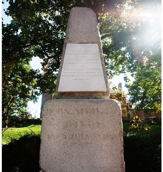
Original Grave Marker of Thomas Jefferson, South 9th Street, Columbia, MO, USA
0 mi
View Listing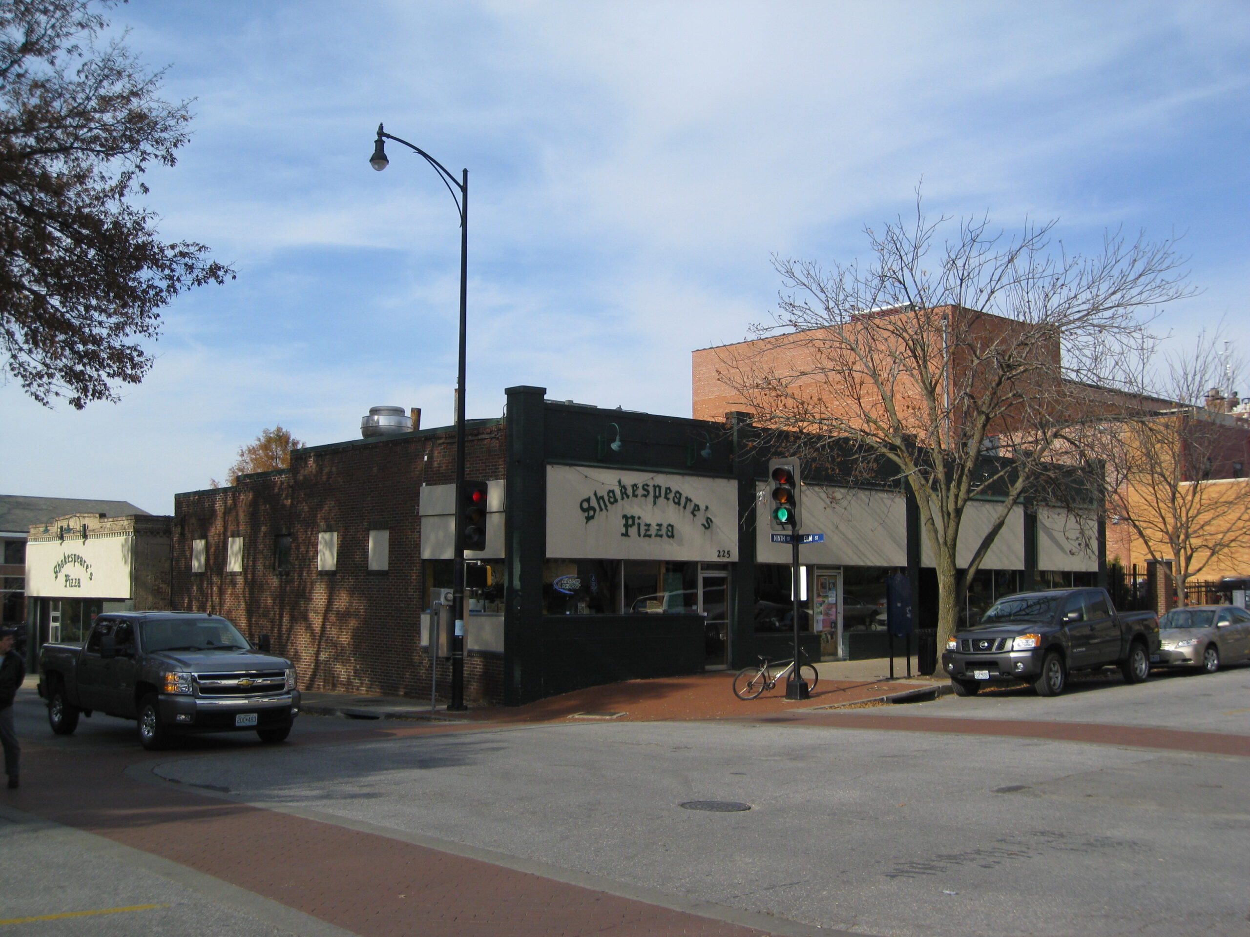


Ozark Mountain Biscuit & Bar, Hinkson Avenue, Columbia, MO, USA
1 mi
View Listing
Our bi-weekly newsletter provides news, history, and information for those interested in traveling along along the Lewis & Clark Trail.


